Elevation of Rosmary Street, Rosmary St, Emalahleni, South Africa
Location: South Africa > Mpumalanga > Nkangala >
Longitude: 29.2437267
Latitude: -25.828731
Elevation: 1518m / 4980feet
Barometric Pressure: 84KPa
Elevation Map:
Satellite Map:
Related Photos:
View from a 100 meter above my house
Bird's eye view east

Bird's eye view east

Bird's eye view north
Bird's eye view from above
Bird's eye view south
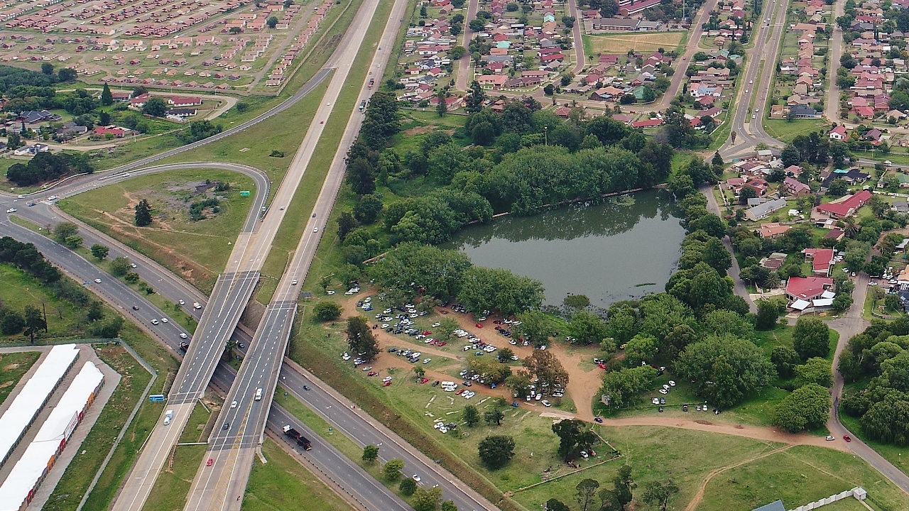
Klipfontein Dam
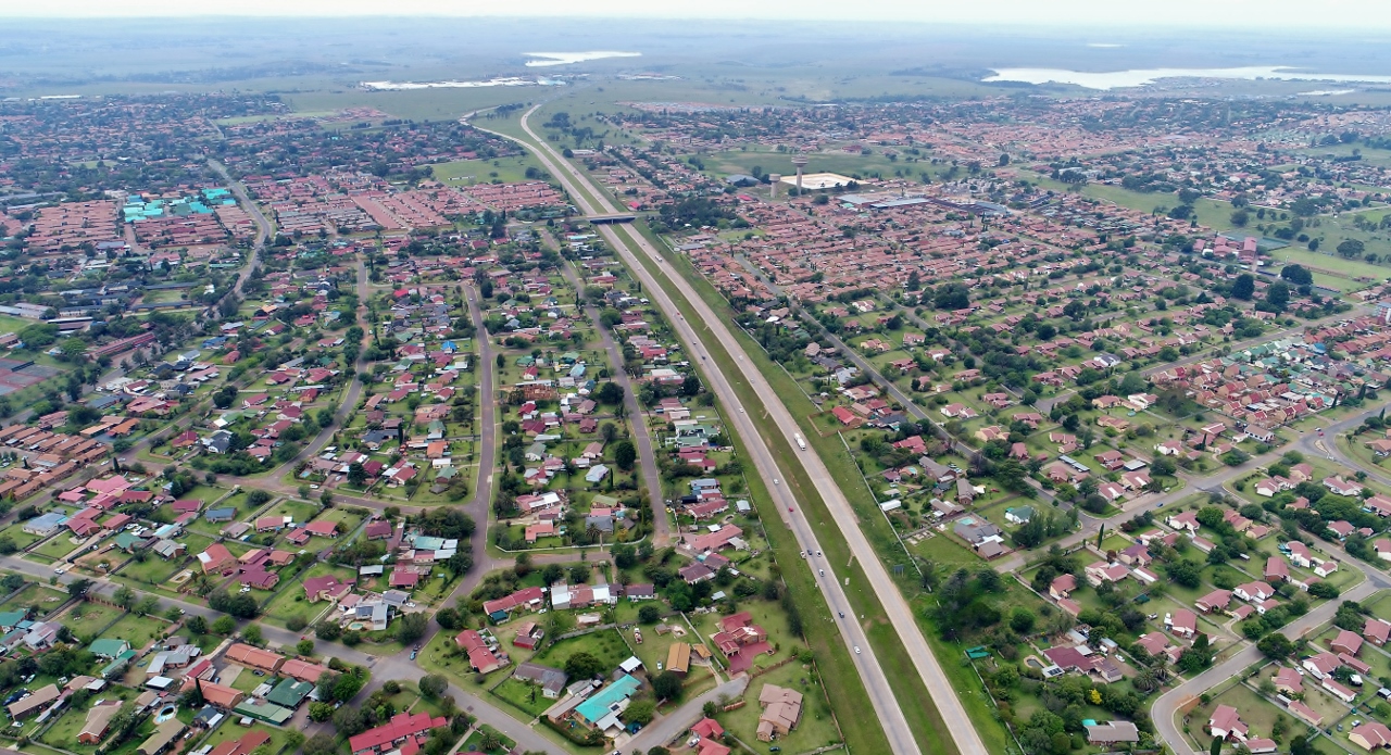
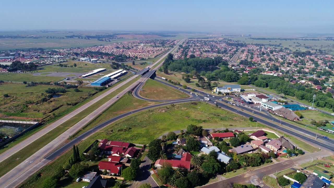
N12 towards Middelburg

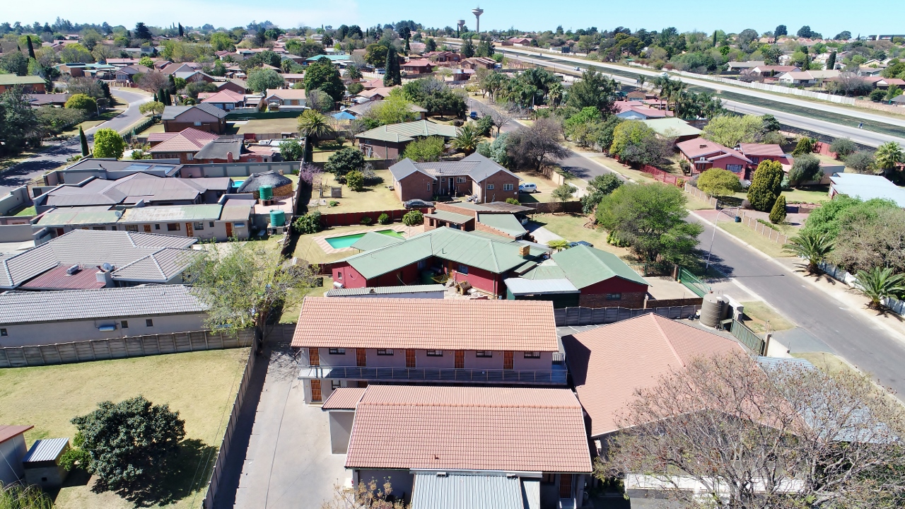
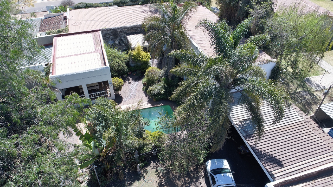
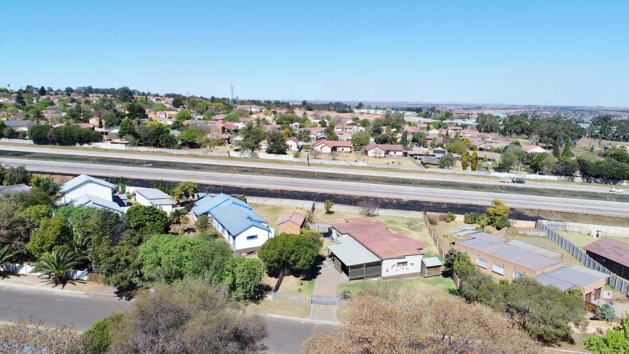
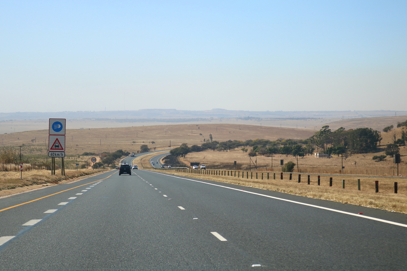
Drone picture

weaver bird nest
Hinter Emalahleni (Witbank) geht es bergab in das Tal des Lepelle (Olifantsrivier)
Witbank-20130220-00351
Topographic Map of Rosmary Street, Rosmary St, Emalahleni, South Africa
Find elevation by address:

Places near Rosmary Street, Rosmary St, Emalahleni, South Africa:
Emalahleni
Highveld Mallmw
Ferrobank
Bushveld Vanchem Ltd
Bezuidenhoutshoek Farm
Benicon Opencast Mining
Emalahleni Local Municipality
Mulati Street
Middelburg
Middelburg
Saaiwater
Rockdale
Van Dyksdrif
Ogies
Broodsnyersplaas
Kendal
Argent
Kwamhlanga
Dryden
Delmas
Recent Searches:
- Elevation of Elwyn Dr, Roanoke Rapids, NC, USA
- Elevation of Congressional Dr, Stevensville, MD, USA
- Elevation of Bellview Rd, McLean, VA, USA
- Elevation of Stage Island Rd, Chatham, MA, USA
- Elevation of Shibuya Scramble Crossing, 21 Udagawacho, Shibuya City, Tokyo -, Japan
- Elevation of Jadagoniai, Kaunas District Municipality, Lithuania
- Elevation of Pagonija rock, Kranto 7-oji g. 8"N, Kaunas, Lithuania
- Elevation of Co Rd 87, Jamestown, CO, USA
- Elevation of Tenjo, Cundinamarca, Colombia
- Elevation of Côte-des-Neiges, Montreal, QC H4A 3J6, Canada