Elevation of Emalahleni Local Municipality, South Africa
Location: South Africa > Mpumalanga > Nkangala >
Longitude: 29.1390642
Latitude: -25.962886
Elevation: 1589m / 5213feet
Barometric Pressure: 84KPa
Elevation Map:
Satellite Map:
Related Photos:
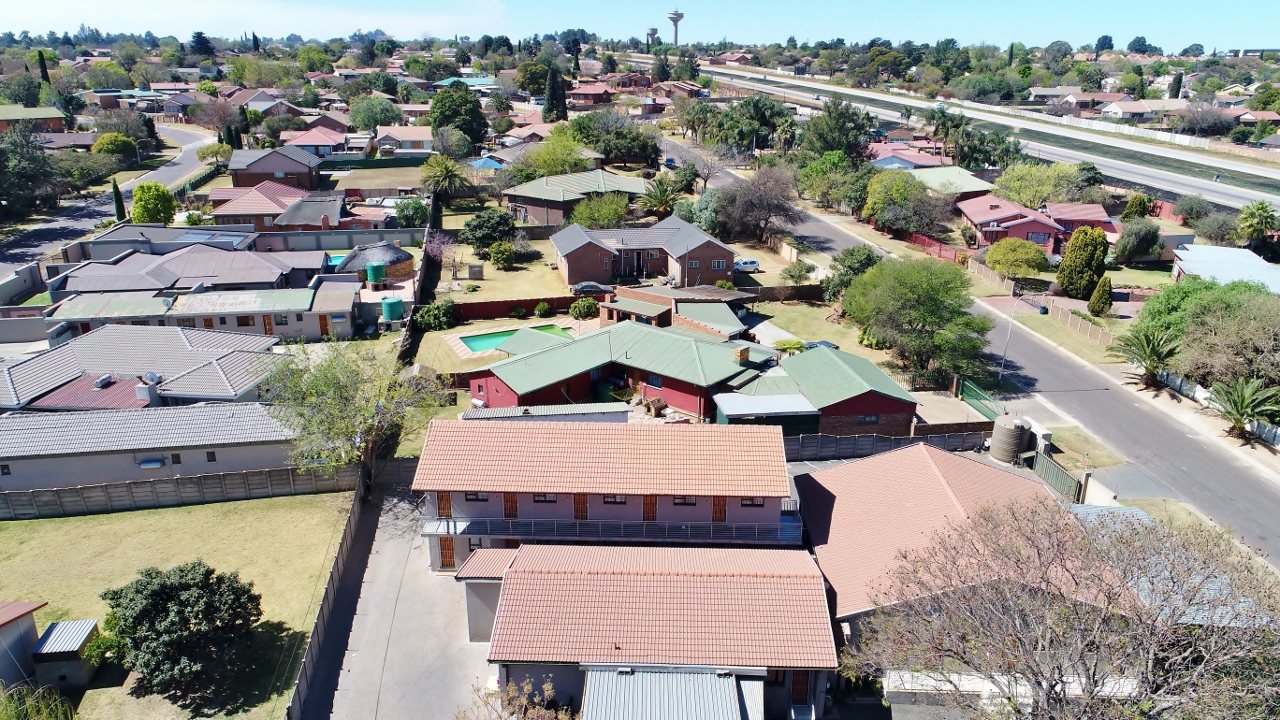
Bird's eye view east

Transnet Class 43 GE C30ACi 43-118 front view at Ogies.

Bird's eye view from above

View from a 100 meter above my house

Bird's eye view north
Bird's eye view east
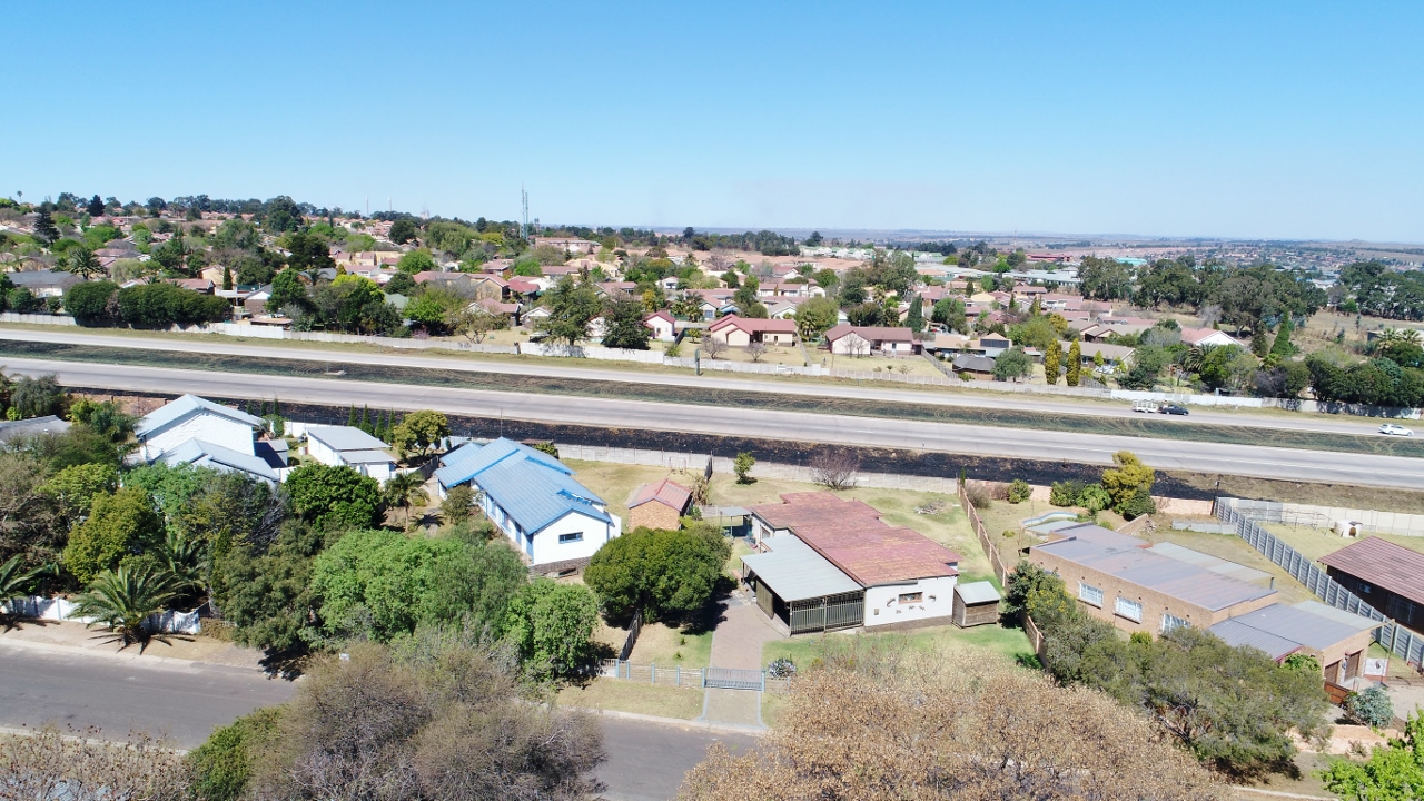
Bird's eye view south

R4636. Apex Colliey ex SAR Class 1. 9th September,1972.

Klipfontein Dam

weaver bird nest

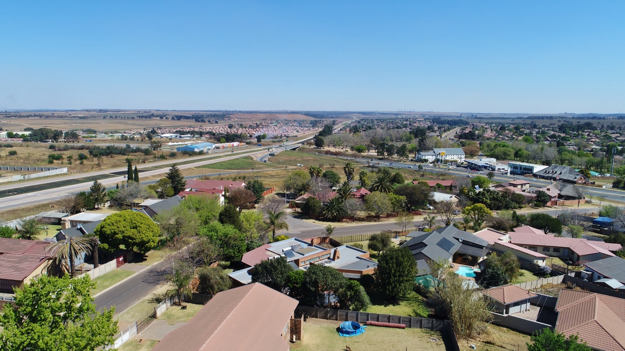
N12 towards Middelburg
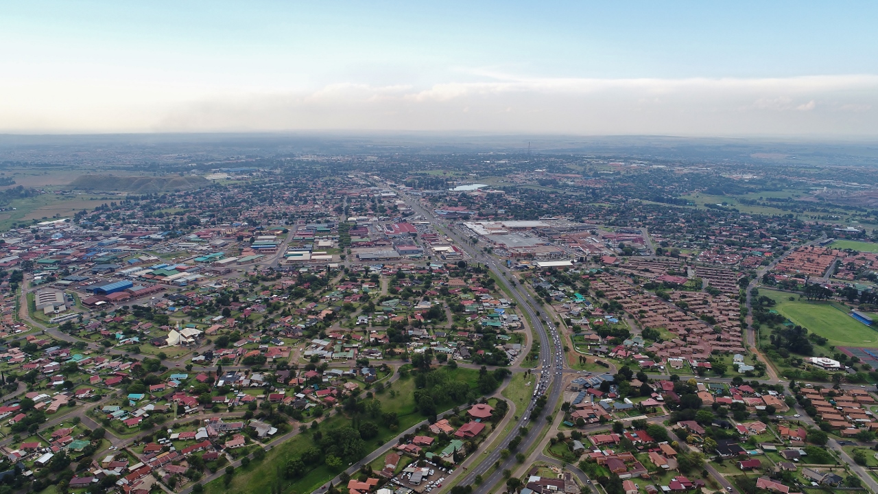
Watermeyer street towards town

Witbank-20130220-00351
Topographic Map of Emalahleni Local Municipality, South Africa
Find elevation by address:

Places near Emalahleni Local Municipality, South Africa:
Bushveld Vanchem Ltd
Ferrobank
Ogies
Saaiwater
Benicon Opencast Mining
Highveld Mallmw
Emalahleni
Rosmary Street
Kendal
Van Dyksdrif
Bezuidenhoutshoek Farm
Argent
Broodsnyersplaas
Mulati Street
Middelburg
Middelburg
Rockdale
Dryden
Delmas
Secunda Mall
Recent Searches:
- Elevation of Lampiasi St, Sarasota, FL, USA
- Elevation of Elwyn Dr, Roanoke Rapids, NC, USA
- Elevation of Congressional Dr, Stevensville, MD, USA
- Elevation of Bellview Rd, McLean, VA, USA
- Elevation of Stage Island Rd, Chatham, MA, USA
- Elevation of Shibuya Scramble Crossing, 21 Udagawacho, Shibuya City, Tokyo -, Japan
- Elevation of Jadagoniai, Kaunas District Municipality, Lithuania
- Elevation of Pagonija rock, Kranto 7-oji g. 8"N, Kaunas, Lithuania
- Elevation of Co Rd 87, Jamestown, CO, USA
- Elevation of Tenjo, Cundinamarca, Colombia