Elevation of Rosebud, MT, USA
Location: United States > Montana > Rosebud County >
Longitude: -106.44474
Latitude: 46.2744424
Elevation: 756m / 2480feet
Barometric Pressure: 93KPa
Elevation Map:
Satellite Map:
Related Photos:

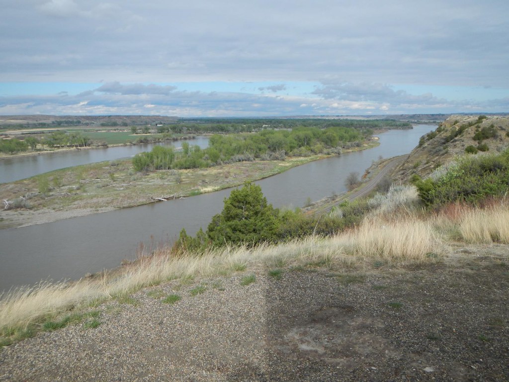
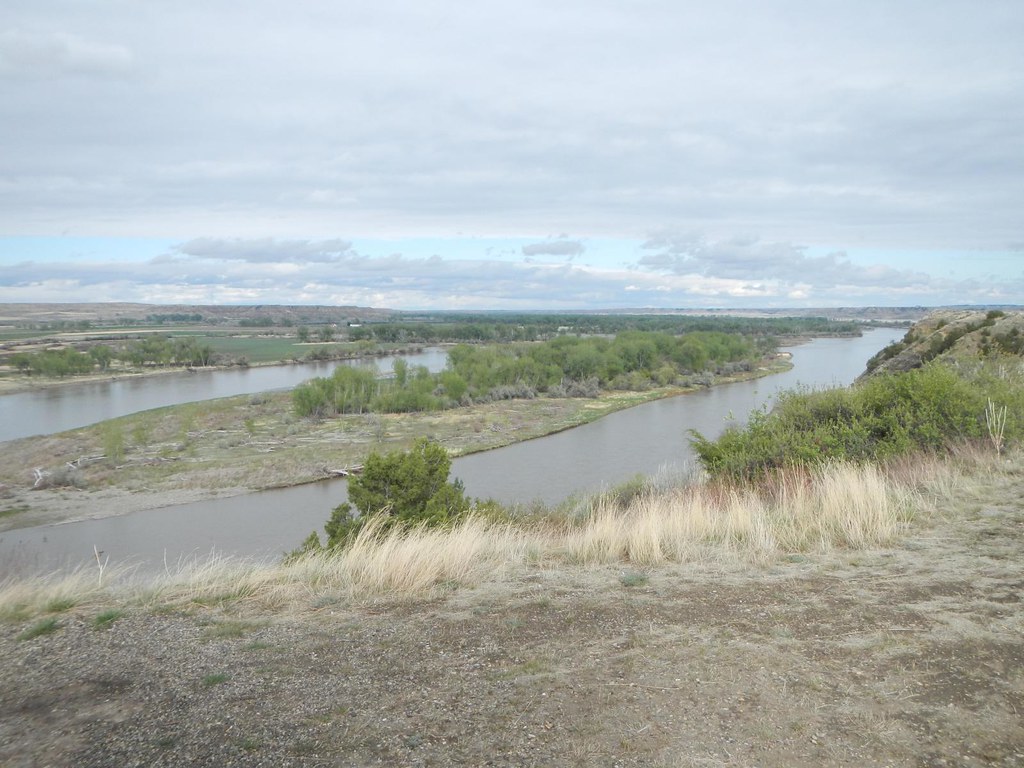
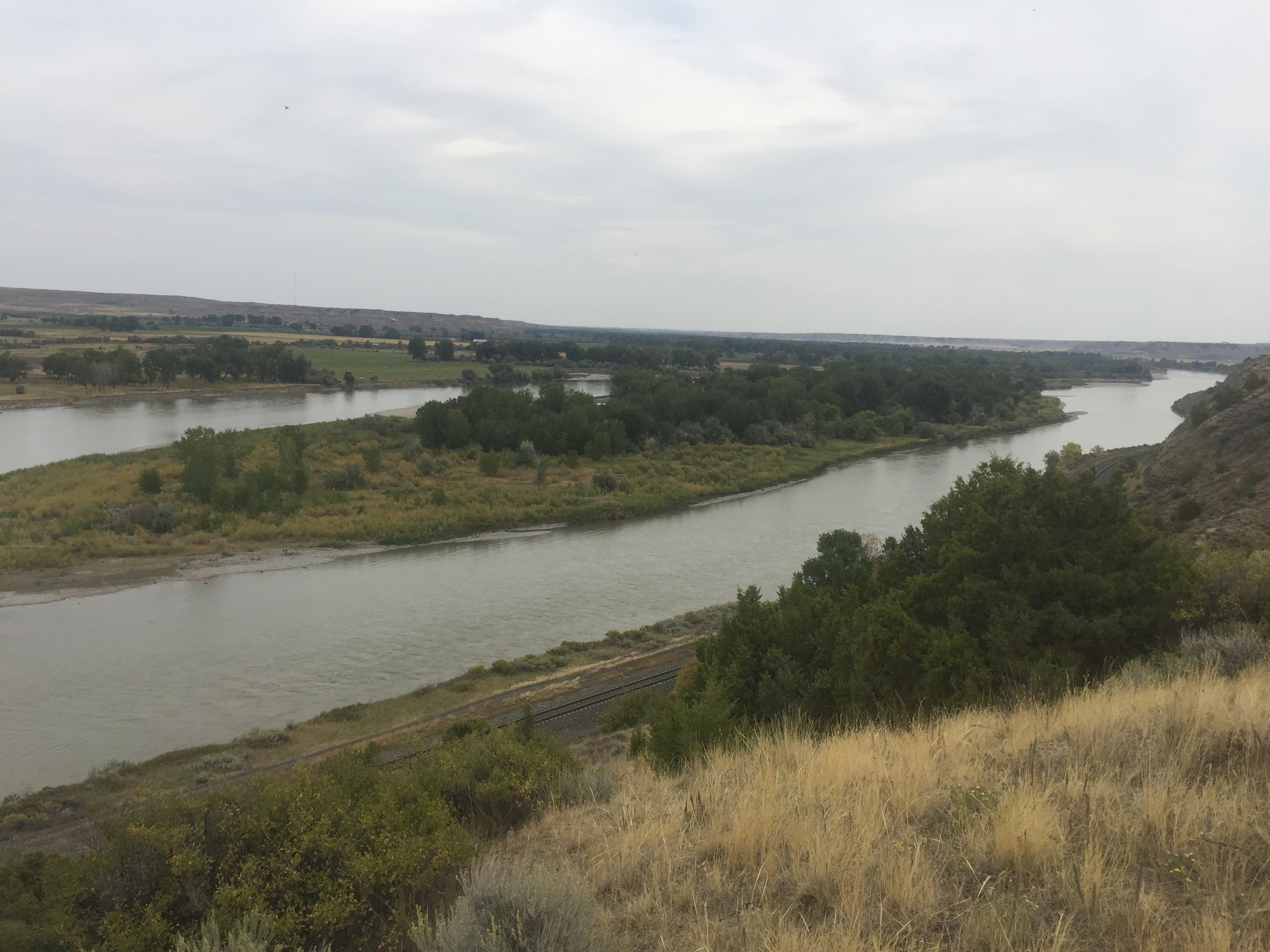
Rosebud, Montana 59347
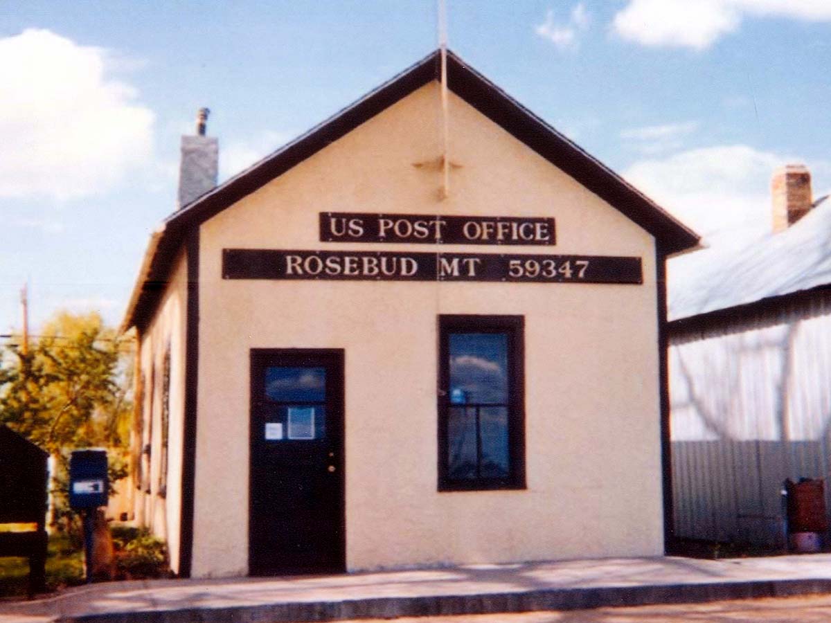
Rosebud, Montana 59347
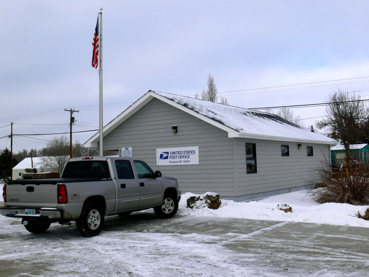
Rosebud, Montana 59347

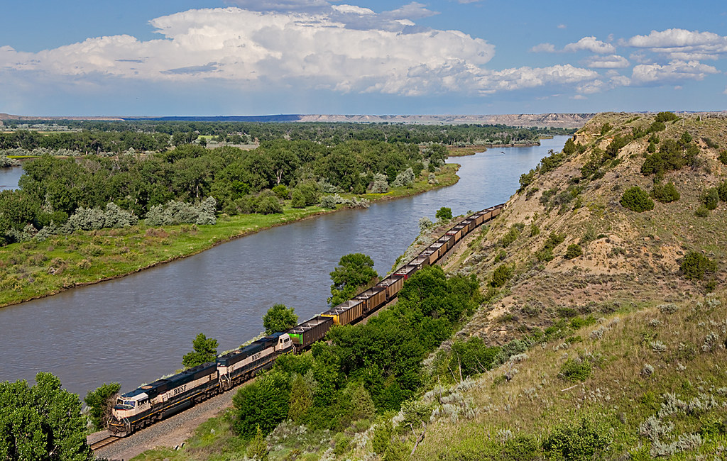
BNSF 8379 Rosebud, Montana

The Sunset Glow

Along the Yellowstone

Who Would Ever Guess
Seattle to ORD
Hathaway, MT

Hathaway, MT
Day 2 - Bismarck to Billings
Day 2 - Bismarck to Billings
IMG_5402.jpg
Topographic Map of Rosebud, MT, USA
Find elevation by address:

Places near Rosebud, MT, USA:
Rosebud County
Pinebutte Dr, Colstrip, MT, USA
Montana 39
Montana 39
580 Willow Ave
Colstrip
Lame Deer
Custer County
Otter
Broadus, MT, USA
Powder River County
Recent Searches:
- Elevation of 72-31 Metropolitan Ave, Middle Village, NY, USA
- Elevation of 76 Metropolitan Ave, Brooklyn, NY, USA
- Elevation of Alisal Rd, Solvang, CA, USA
- Elevation of Vista Blvd, Sparks, NV, USA
- Elevation of 15th Ave SE, St. Petersburg, FL, USA
- Elevation of Beall Road, Beall Rd, Florida, USA
- Elevation of Leguwa, Nepal
- Elevation of County Rd, Enterprise, AL, USA
- Elevation of Kolchuginsky District, Vladimir Oblast, Russia
- Elevation of Shustino, Vladimir Oblast, Russia