Elevation of Pinebutte Dr, Colstrip, MT, USA
Location: United States > Montana > Rosebud County >
Longitude: -106.63423
Latitude: 45.9145864
Elevation: 971m / 3186feet
Barometric Pressure: 90KPa
Elevation Map:
Satellite Map:
Related Photos:
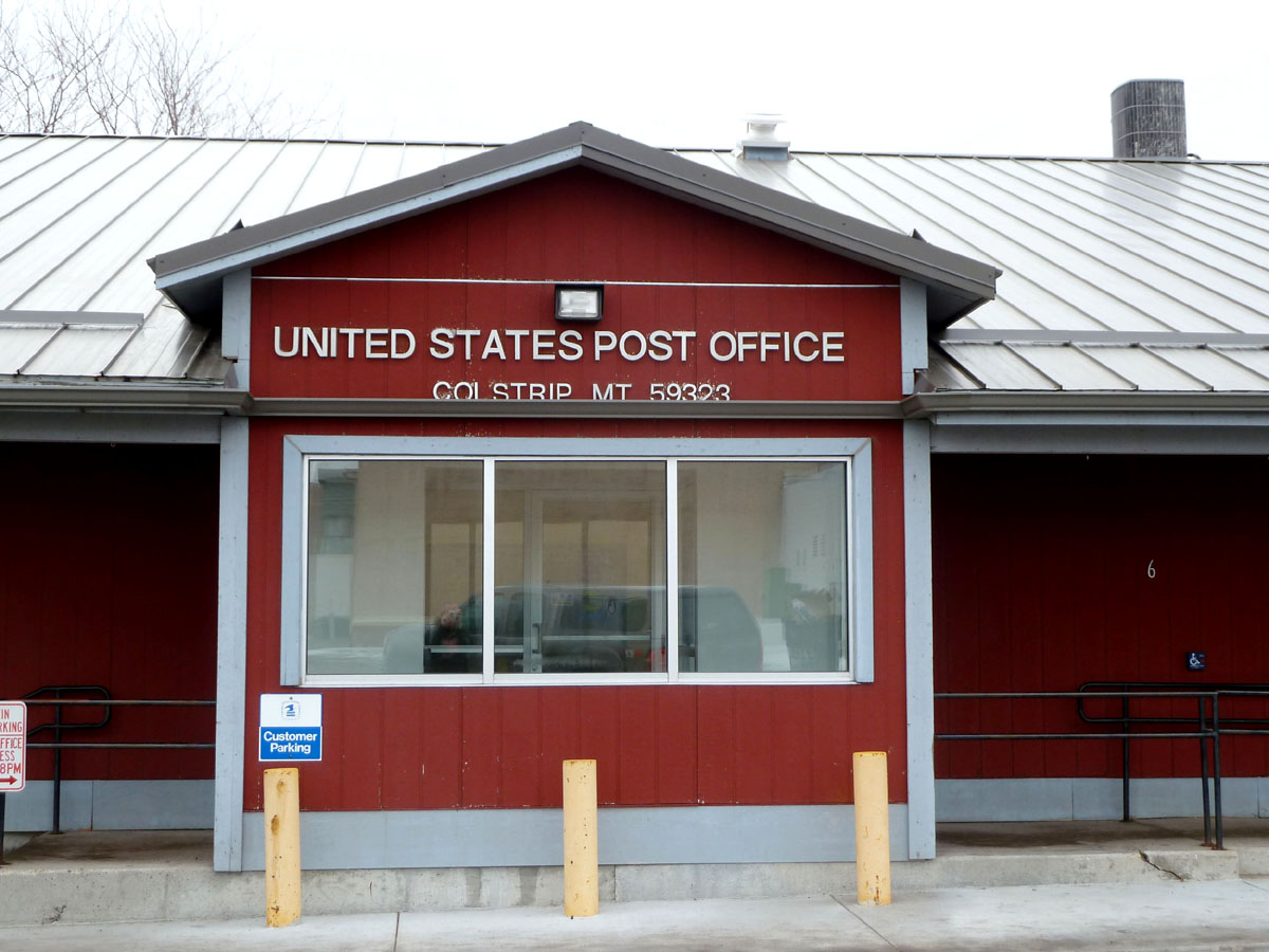
Colstrip, Montana 59323
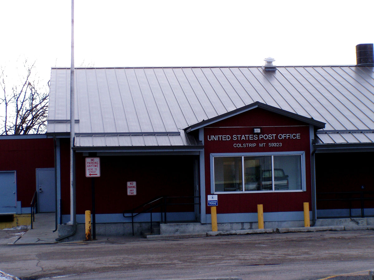
Colstrip, Montana 59323
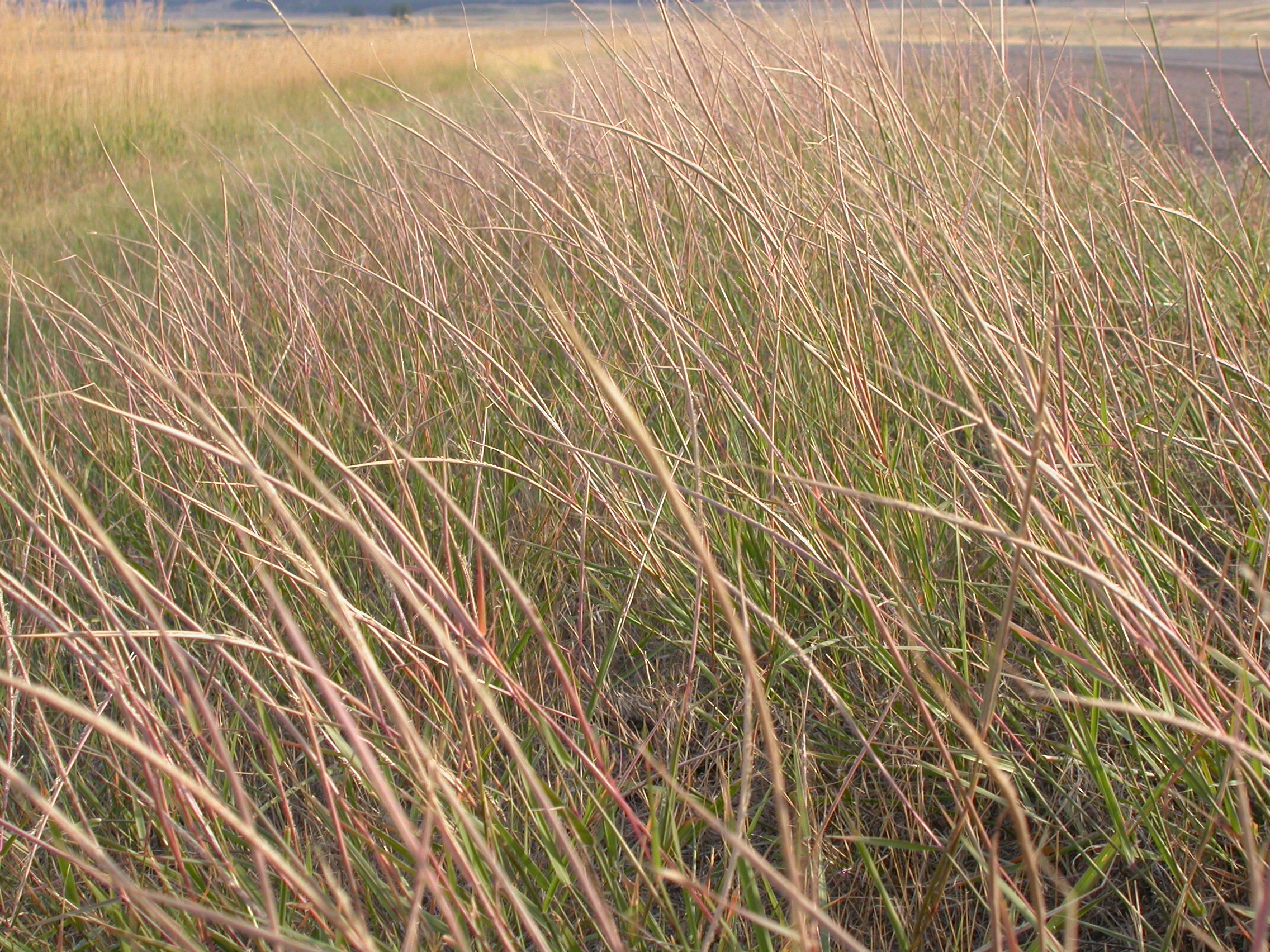
Sporobolus cryptandrus

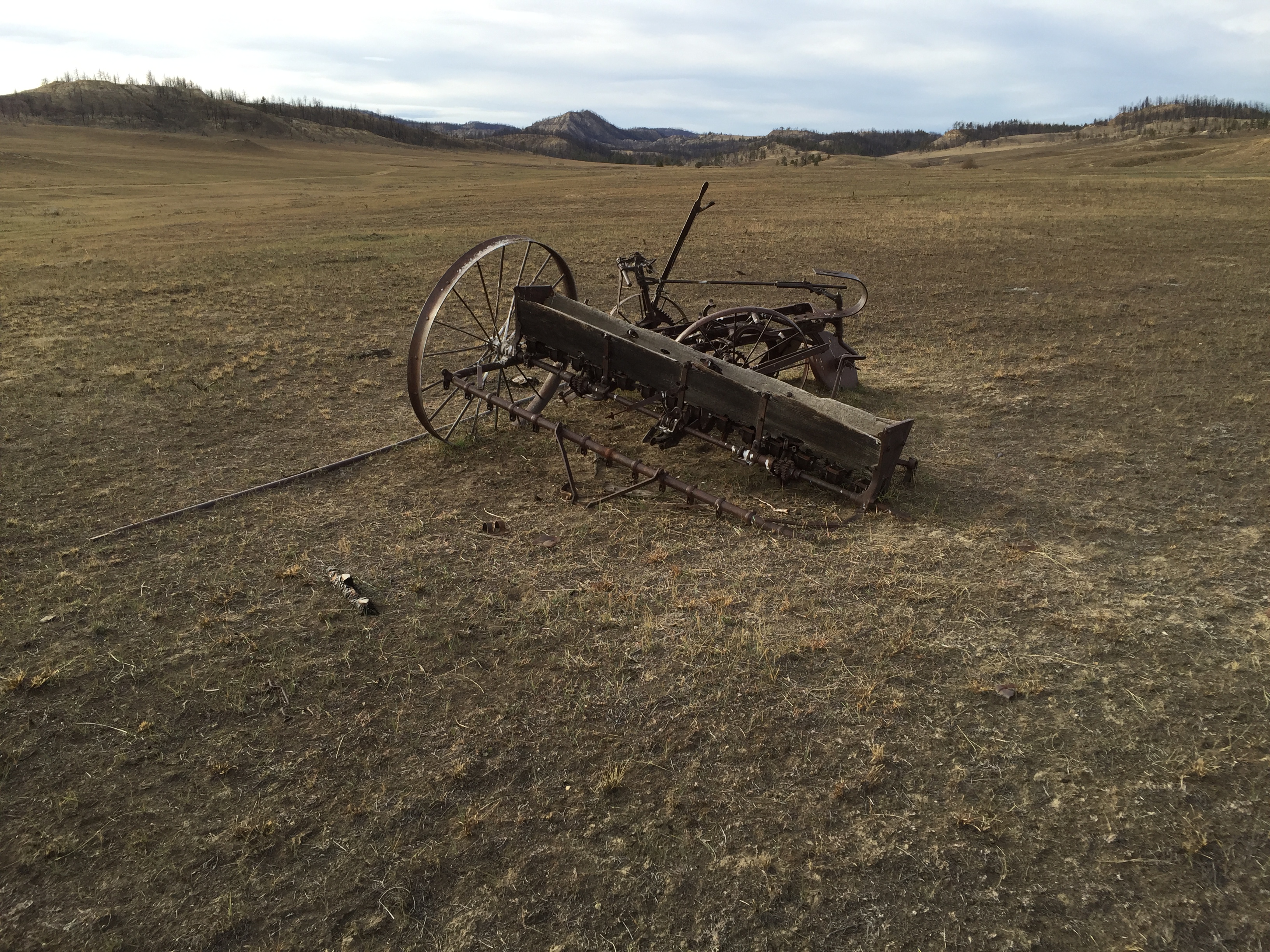
restored pioneer post office, castle rock montana
colstrip montana

Colstrip, MT
Topographic Map of Pinebutte Dr, Colstrip, MT, USA
Find elevation by address:

Places near Pinebutte Dr, Colstrip, MT, USA:
Montana 39
Montana 39
Colstrip
580 Willow Ave
Lame Deer
Rosebud
Rosebud County
Otter
Custer County
Broadus, MT, USA
Powder River County
Recent Searches:
- Elevation of Vista Blvd, Sparks, NV, USA
- Elevation of 15th Ave SE, St. Petersburg, FL, USA
- Elevation of Beall Road, Beall Rd, Florida, USA
- Elevation of Leguwa, Nepal
- Elevation of County Rd, Enterprise, AL, USA
- Elevation of Kolchuginsky District, Vladimir Oblast, Russia
- Elevation of Shustino, Vladimir Oblast, Russia
- Elevation of Lampiasi St, Sarasota, FL, USA
- Elevation of Elwyn Dr, Roanoke Rapids, NC, USA
- Elevation of Congressional Dr, Stevensville, MD, USA