Elevation of Roosterville Rd, Franklin, GA, USA
Location: United States > Georgia > Heard County > Franklin >
Longitude: -85.172937
Latitude: 33.3825574
Elevation: 324m / 1063feet
Barometric Pressure: 97KPa
Elevation Map:
Satellite Map:
Related Photos:

The Calm After the Storm
View from a Country Road

Mom's View

A Light Unto My Path
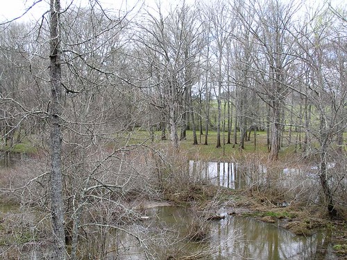
From the bridge on Tyus-Carrollton Road

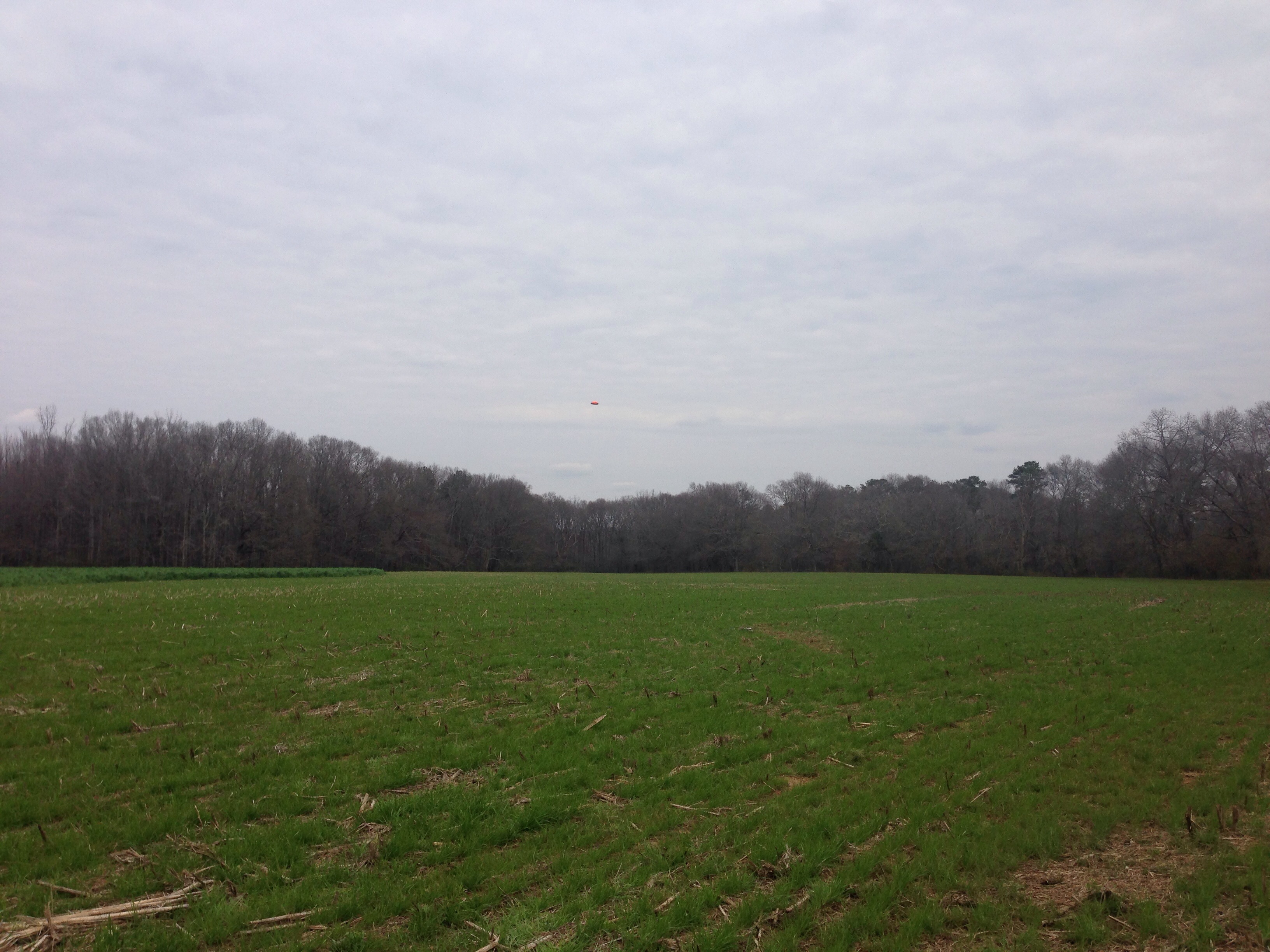
Bowden shooting adventure
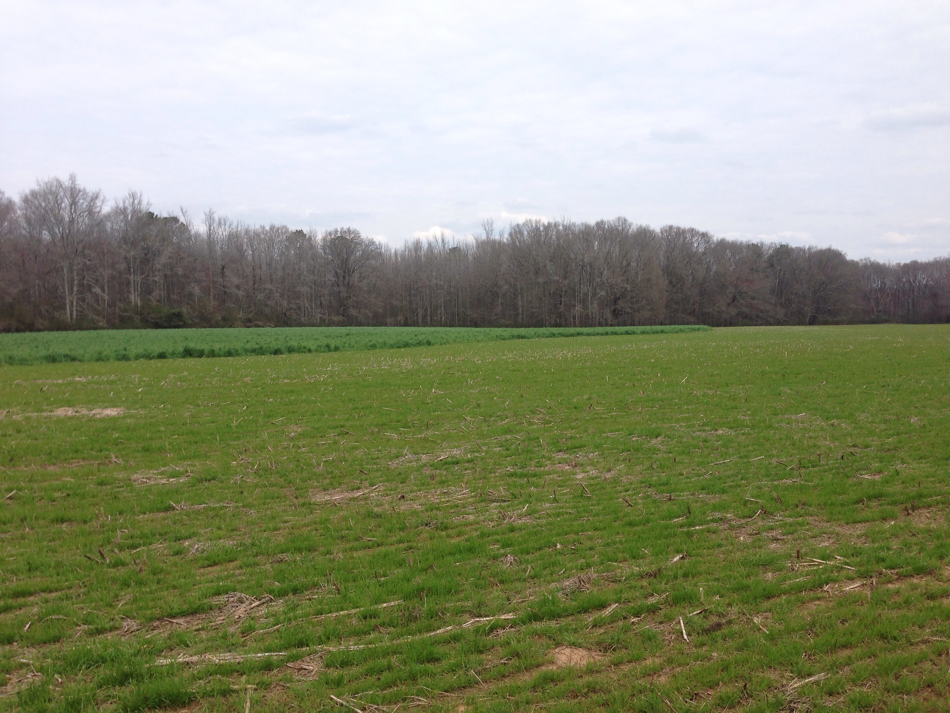
Bowden shooting adventure

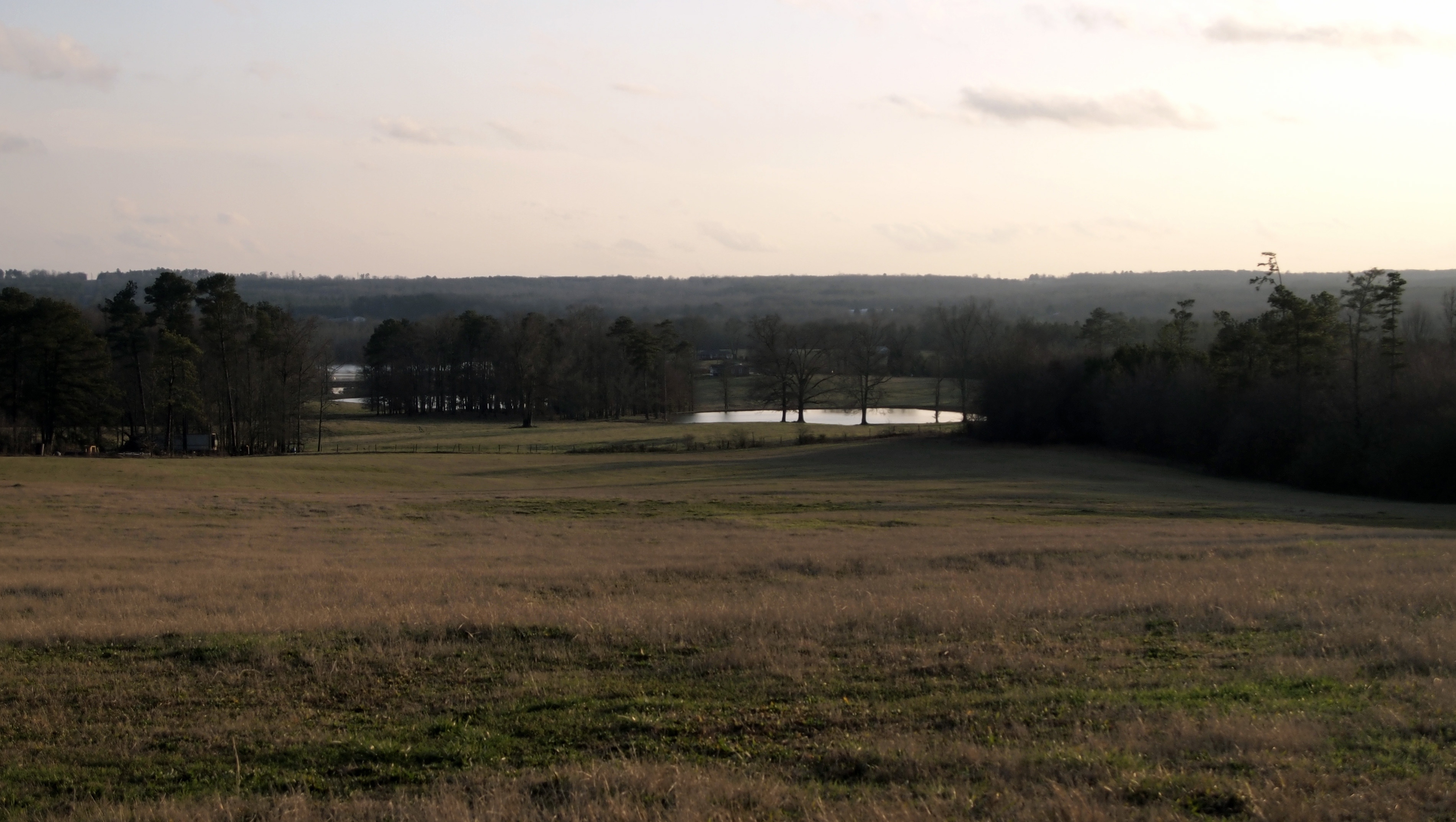
Cows in the Evening Sun
Bowden shooting adventure
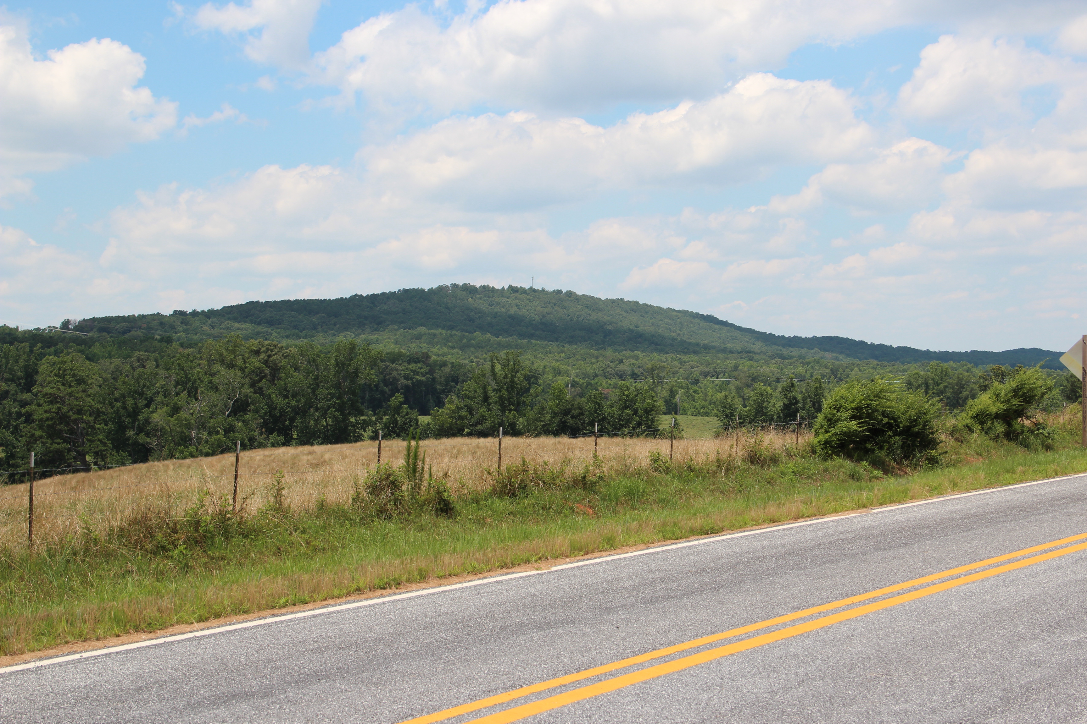
Blackjack Mountain
Topographic Map of Roosterville Rd, Franklin, GA, USA
Find elevation by address:

Places near Roosterville Rd, Franklin, GA, USA:
Antioch Rd, Franklin, GA, USA
811 Judy Rd
Roopville Veal Rd, Roopville, GA, USA
Centralhatchee Pkwy, Centralhatchee, GA, USA
Centralhatchee
Old Columbus Rd, Bowdon, GA, USA
Old Hwy 27 S, Roopville, GA, USA
Roopville
Heard County
49 Stoney Point Rd, Bowdon, GA, USA
GA-, Franklin, GA, USA
100 Maddox Rd
59 Old Field Rd
Star Point Rd, Carrollton, GA, USA
754 Old Columbus Rd
1686 Reavesville Rd
Riverview St, Franklin, GA, USA
Franklin
Bevis Road
GA-34, Franklin, GA, USA
Recent Searches:
- Elevation of Groblershoop, South Africa
- Elevation of Power Generation Enterprises | Industrial Diesel Generators, Oak Ave, Canyon Country, CA, USA
- Elevation of Chesaw Rd, Oroville, WA, USA
- Elevation of N, Mt Pleasant, UT, USA
- Elevation of 6 Rue Jules Ferry, Beausoleil, France
- Elevation of Sattva Horizon, 4JC6+G9P, Vinayak Nagar, Kattigenahalli, Bengaluru, Karnataka, India
- Elevation of Great Brook Sports, Gold Star Hwy, Groton, CT, USA
- Elevation of 10 Mountain Laurels Dr, Nashua, NH, USA
- Elevation of 16 Gilboa Ln, Nashua, NH, USA
- Elevation of Laurel Rd, Townsend, TN, USA