Elevation of Old Columbus Rd, Bowdon, GA, USA
Location: United States > Georgia > Carroll County > Bowdon >
Longitude: -85.230951
Latitude: 33.435536
Elevation: 363m / 1191feet
Barometric Pressure: 97KPa
Elevation Map:
Satellite Map:
Related Photos:

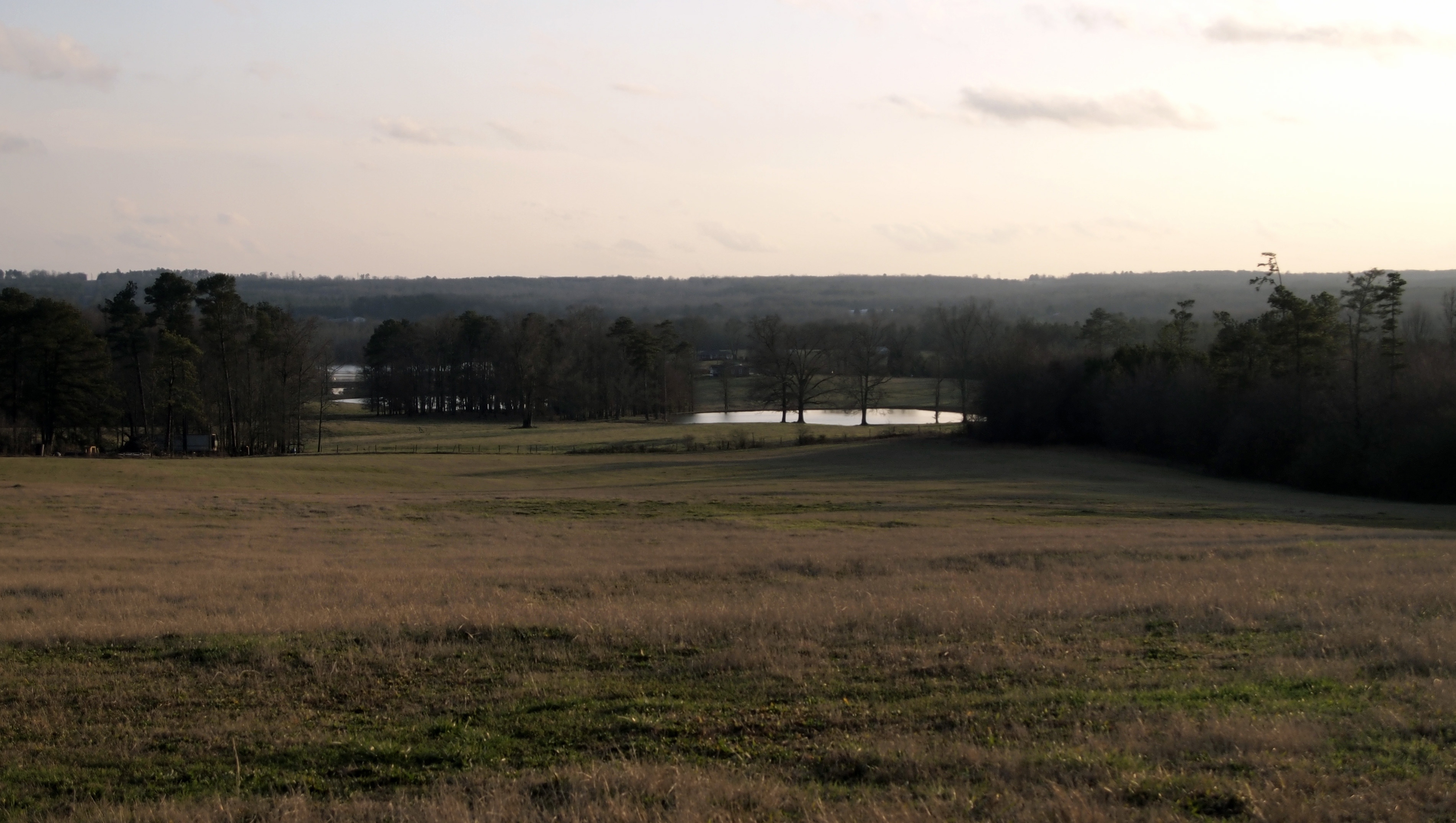
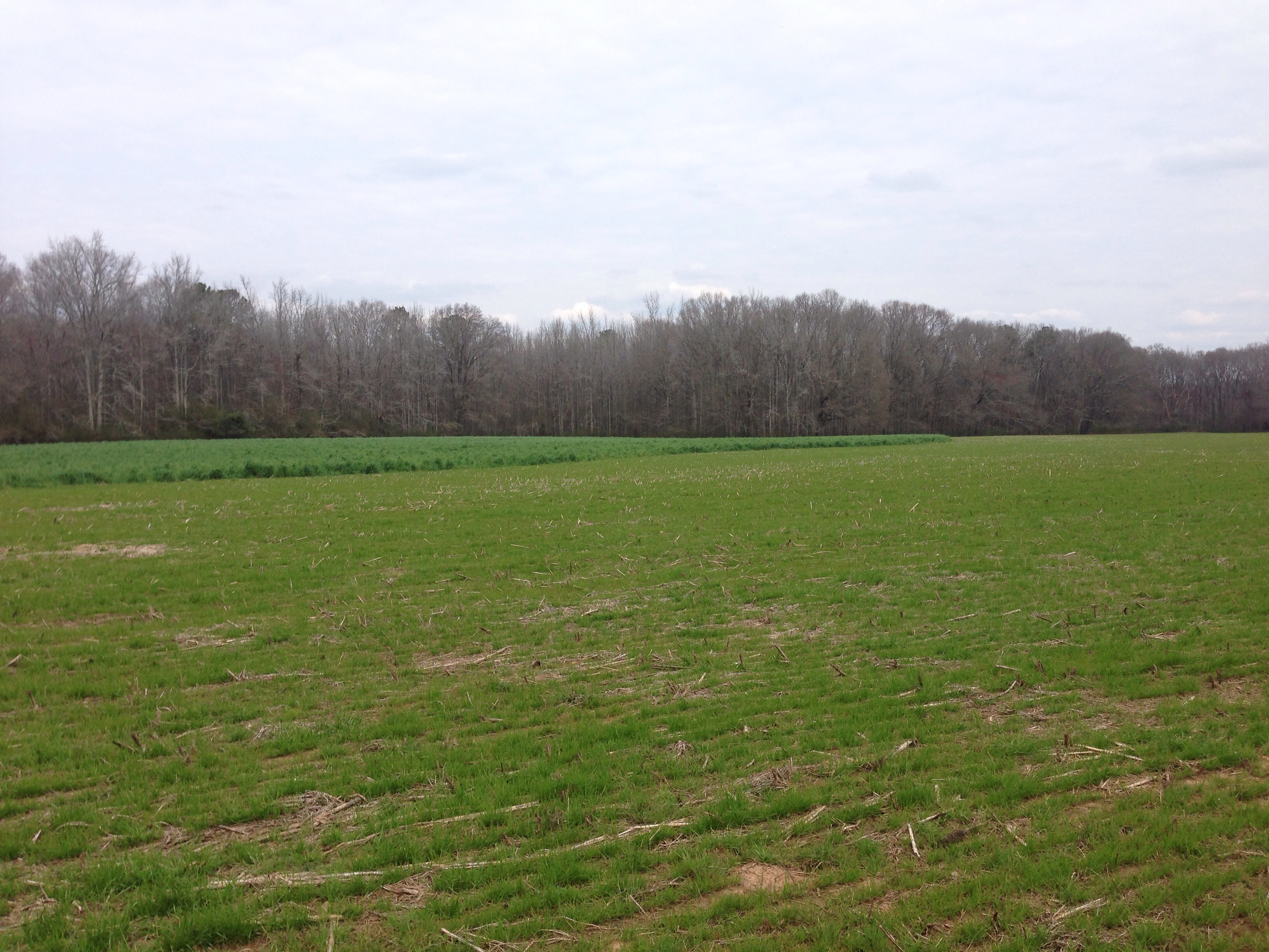
The Calm After the Storm
View from a Country Road
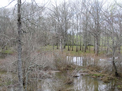
From the bridge on Tyus-Carrollton Road
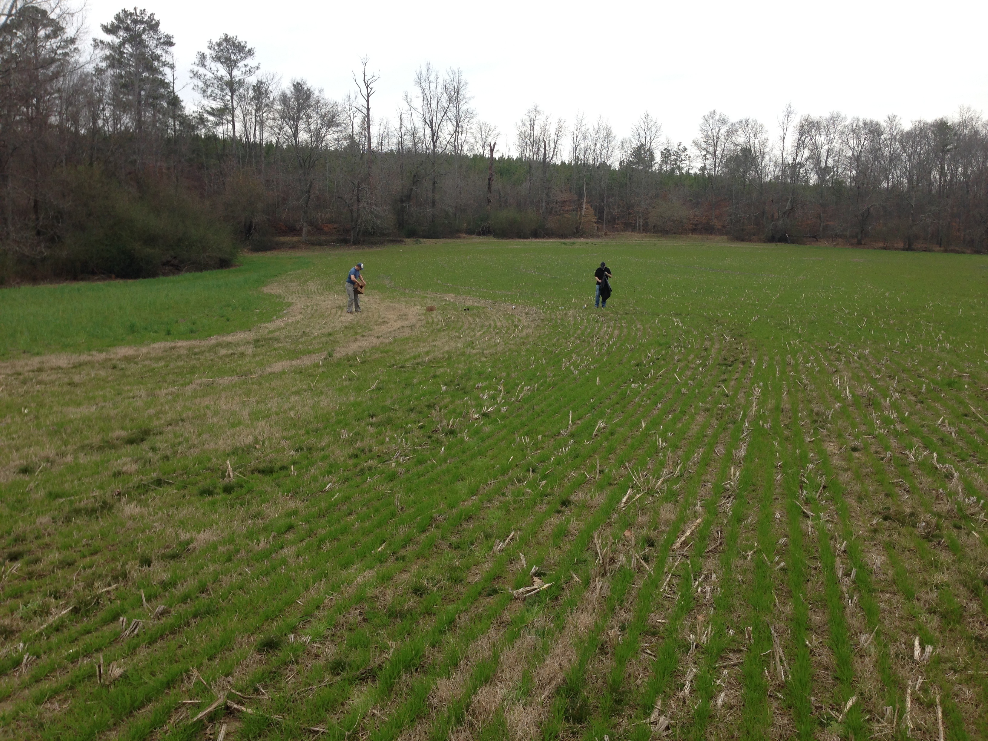
Bowden shooting adventure

Bowden shooting adventure
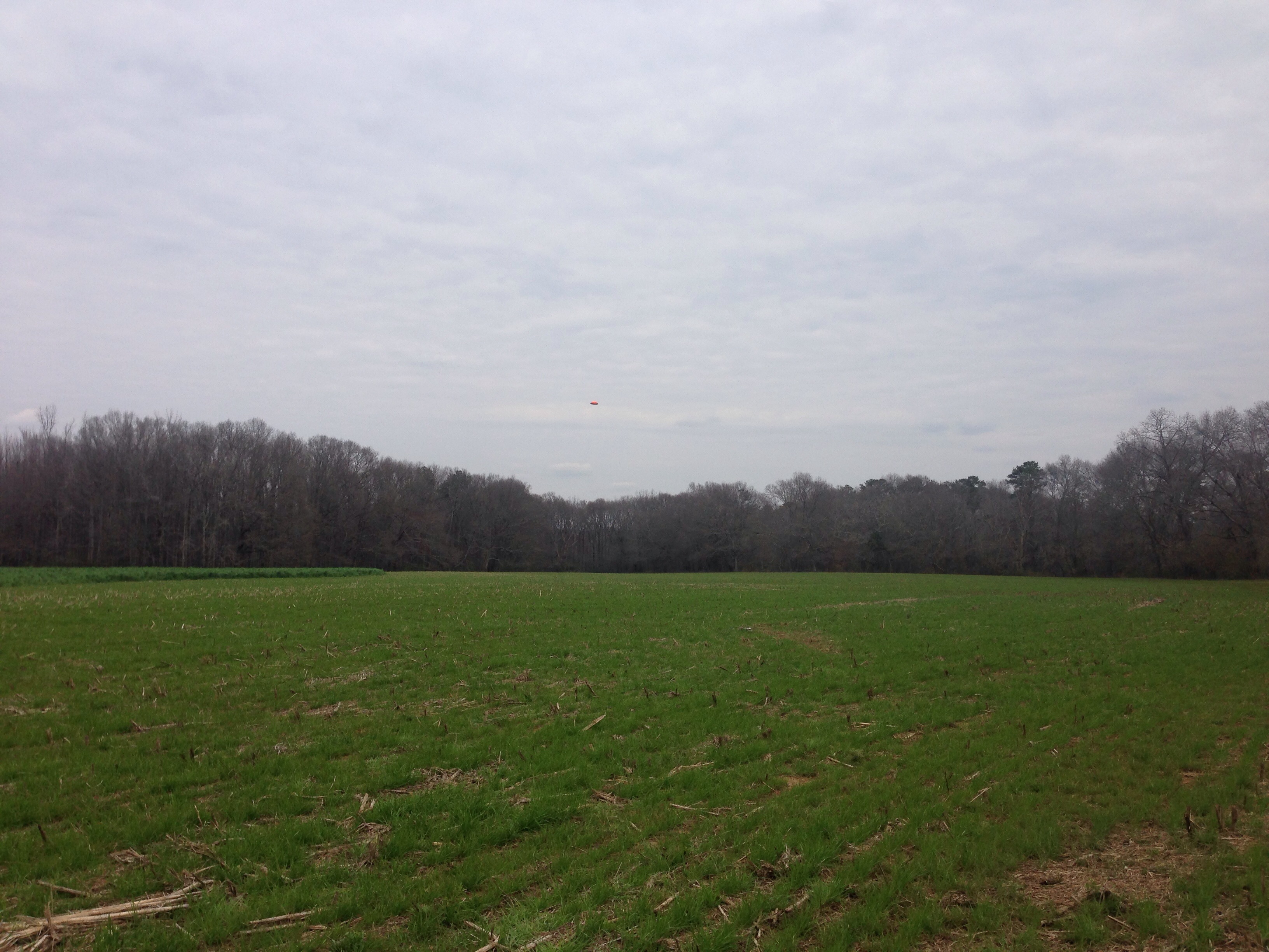
Bowden shooting adventure

Cows in the Evening Sun
Bowden shooting adventure
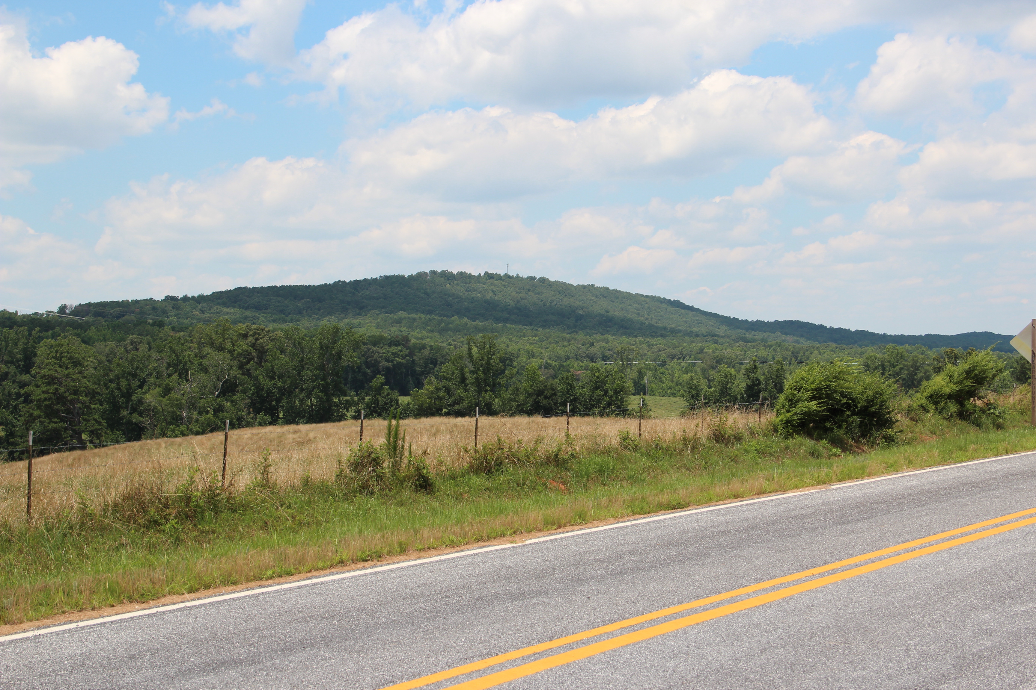
Blackjack Mountain
Topographic Map of Old Columbus Rd, Bowdon, GA, USA
Find elevation by address:

Places near Old Columbus Rd, Bowdon, GA, USA:
Roopville Veal Rd, Roopville, GA, USA
49 Stoney Point Rd, Bowdon, GA, USA
1686 Reavesville Rd
754 Old Columbus Rd
Reavesville Road
GA-, Bowdon, GA, USA
2376 Ga-100
177 Stateline Rd
Tanyard Rd, Bowdon, GA, USA
100 Maddox Rd
Graham
Roopville
Old Hwy 27 S, Roopville, GA, USA
Bowdon
616 E College St
611 E College St
611 E College St
Co Rd, Graham, AL, USA
GA-, Bowdon, GA, USA
65 Beauchamp Rd
Recent Searches:
- Elevation of Côte-des-Neiges, Montreal, QC H4A 3J6, Canada
- Elevation of Bobcat Dr, Helena, MT, USA
- Elevation of Zu den Ihlowbergen, Althüttendorf, Germany
- Elevation of Badaber, Peshawar, Khyber Pakhtunkhwa, Pakistan
- Elevation of SE Heron Loop, Lincoln City, OR, USA
- Elevation of Slanický ostrov, 01 Námestovo, Slovakia
- Elevation of Spaceport America, Co Rd A, Truth or Consequences, NM, USA
- Elevation of Warwick, RI, USA
- Elevation of Fern Rd, Whitmore, CA, USA
- Elevation of 62 Abbey St, Marshfield, MA, USA