Elevation of E College St, Bowdon, GA, USA
Location: United States > Georgia > Carroll County > Bowdon >
Longitude: -85.243885
Latitude: 33.5458367
Elevation: 342m / 1122feet
Barometric Pressure: 97KPa
Elevation Map:
Satellite Map:
Related Photos:
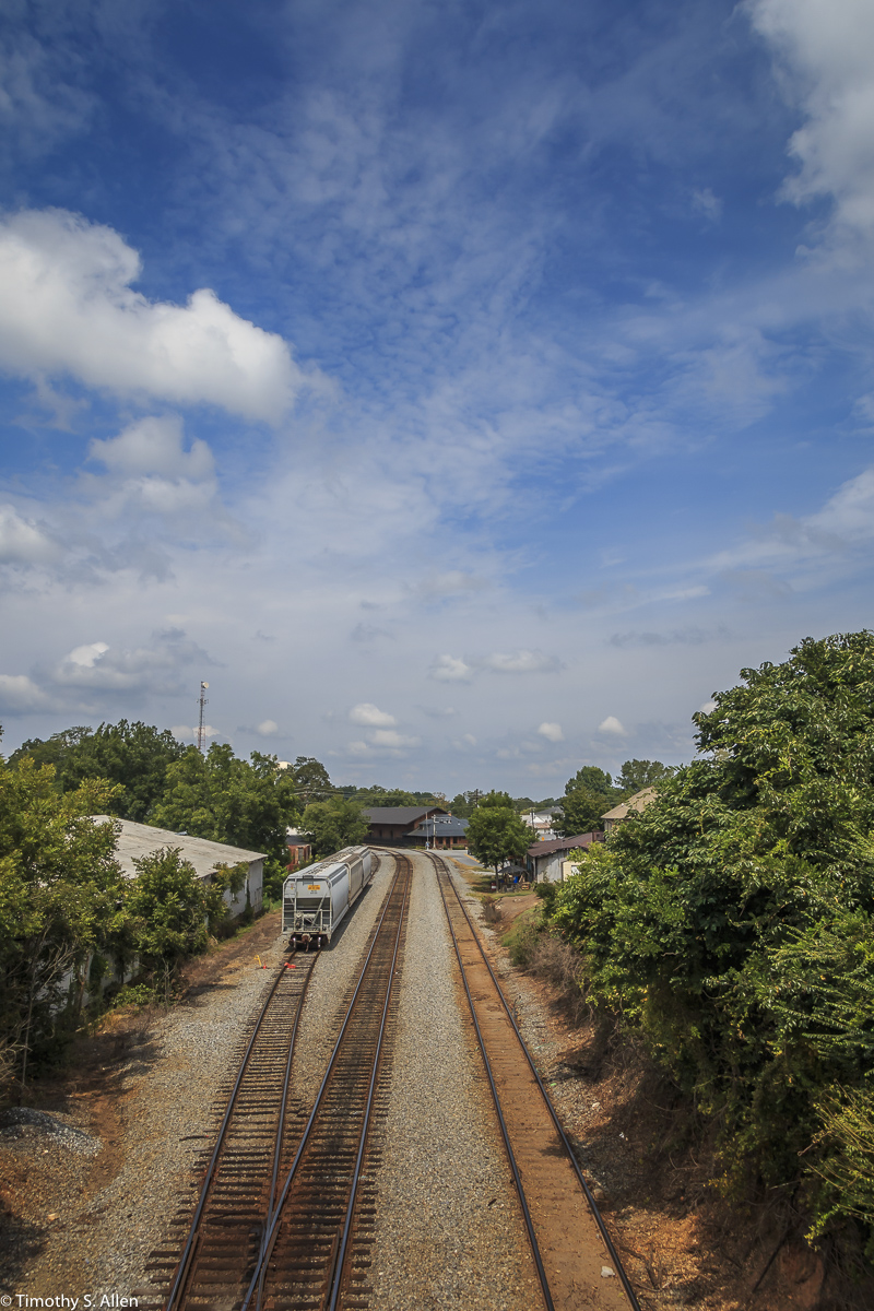
Rail View and Sky
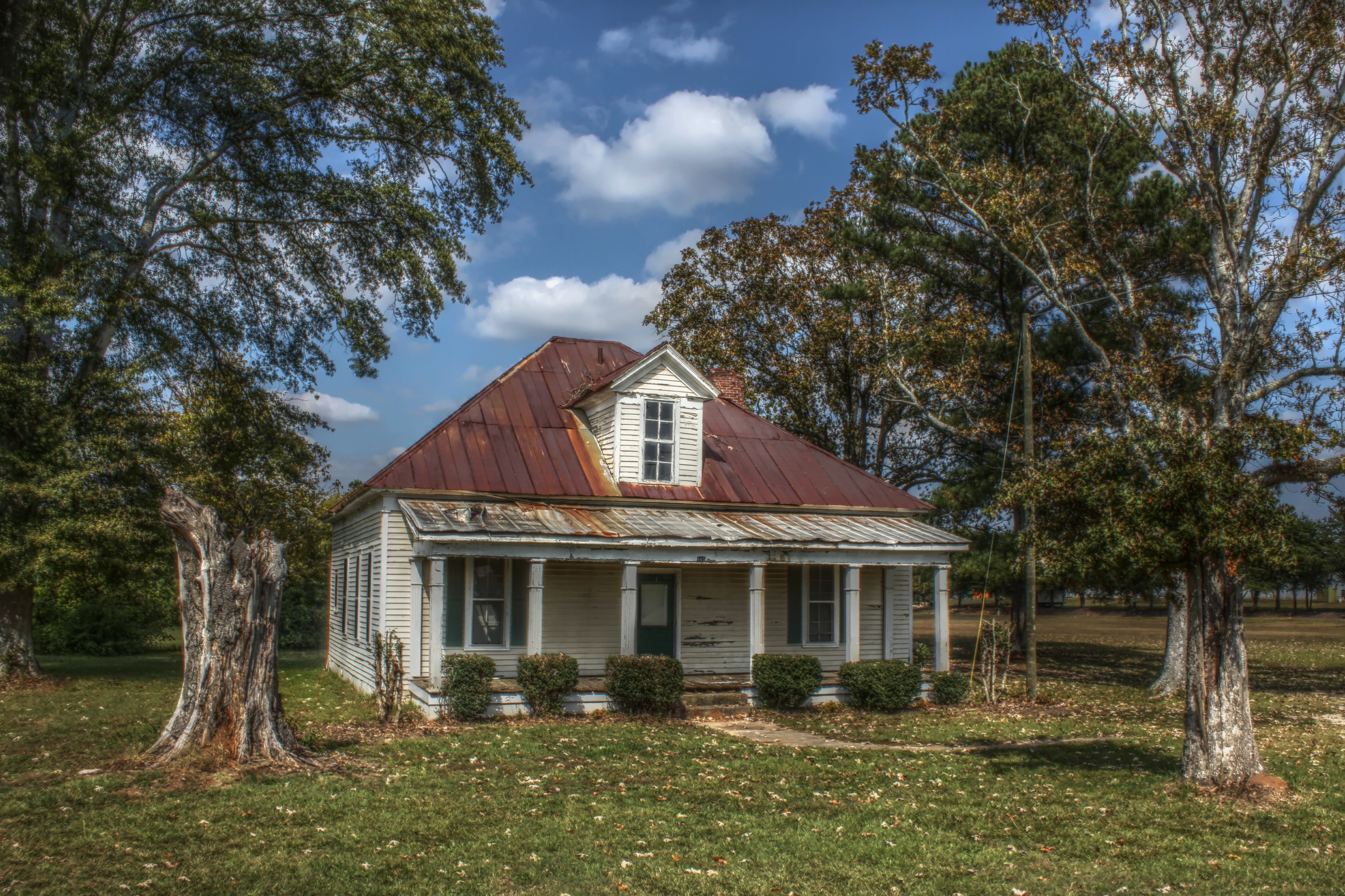
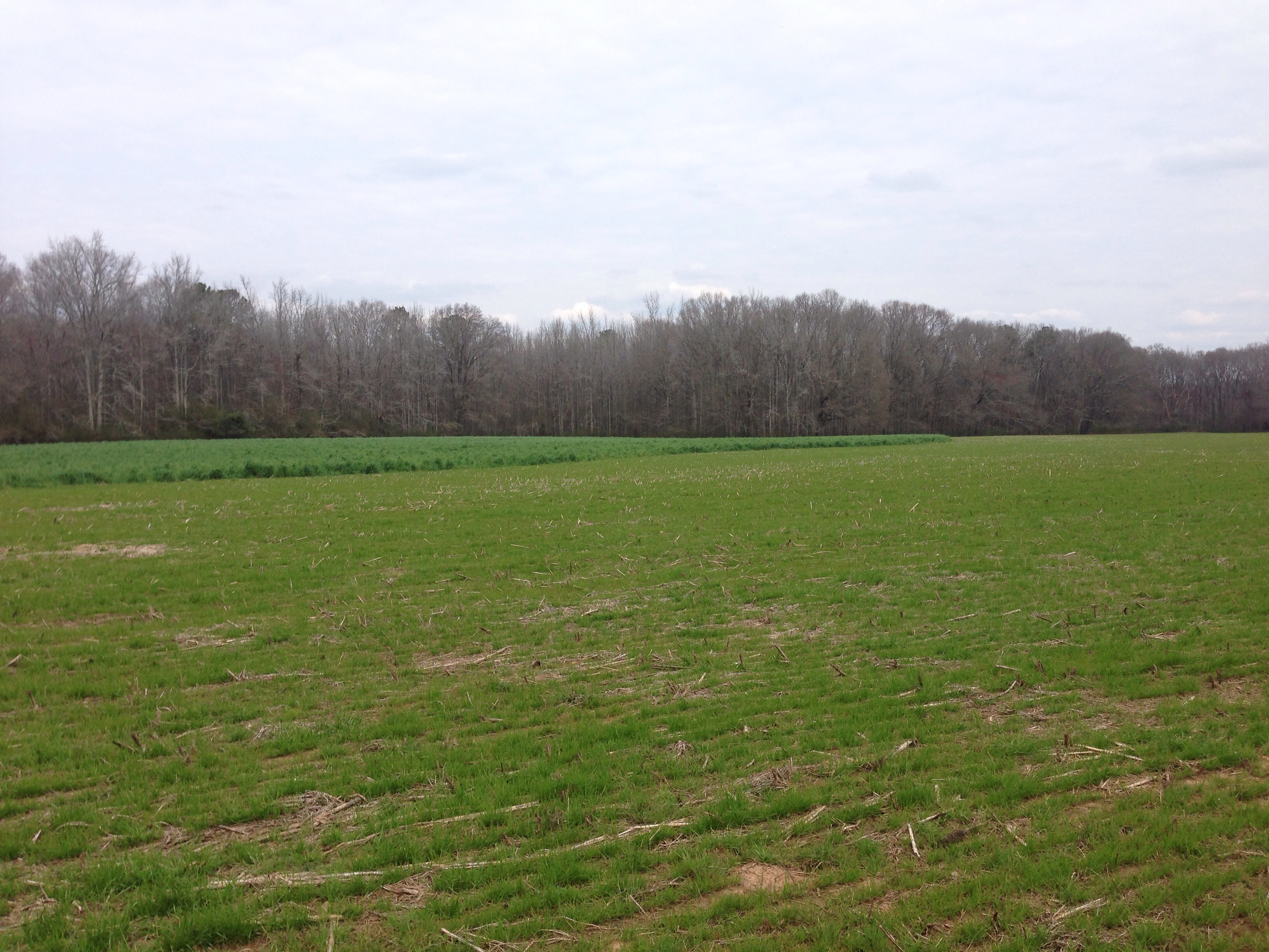
Abandoned Farm House in Carrollton, GA

the other cat

View of Pafford
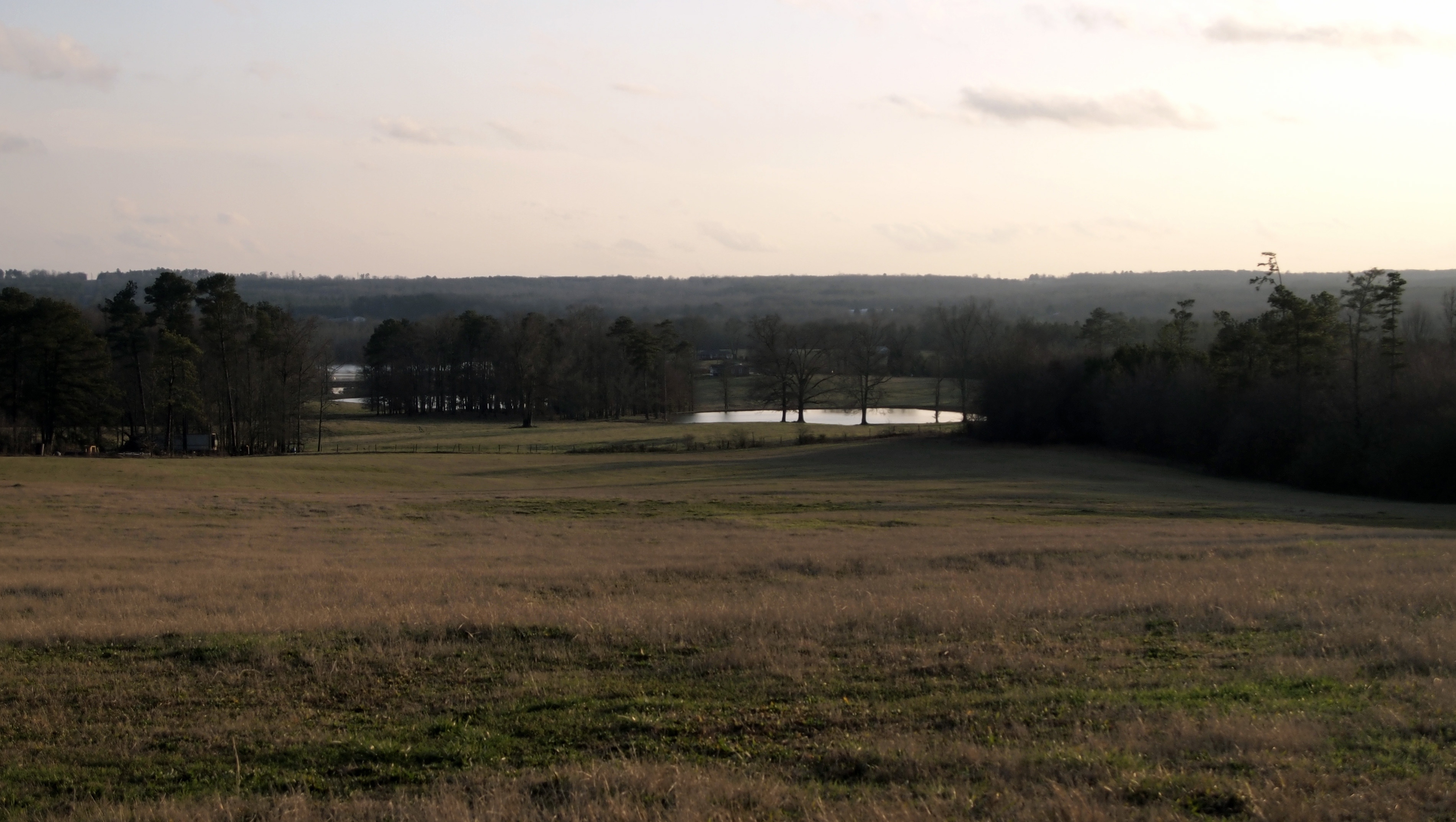
View from a Country Road
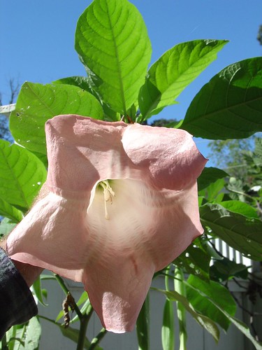
Another view of the blooms
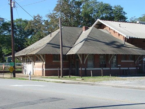
Carrollton station

Buffalo Creek, Carrollton, Georgia

Sunset on Farmers High Road - #carrollton #carrolltonga #sunset #sun #landscape #landmark #georgia #georgiaonmymind #exploregeorgia #scenery #kiser4keeps #scene #theamericancollective #the_home_front #country_features #countryside #ig_countryside #picofth

IMG_8835-2
Bowden shooting adventure
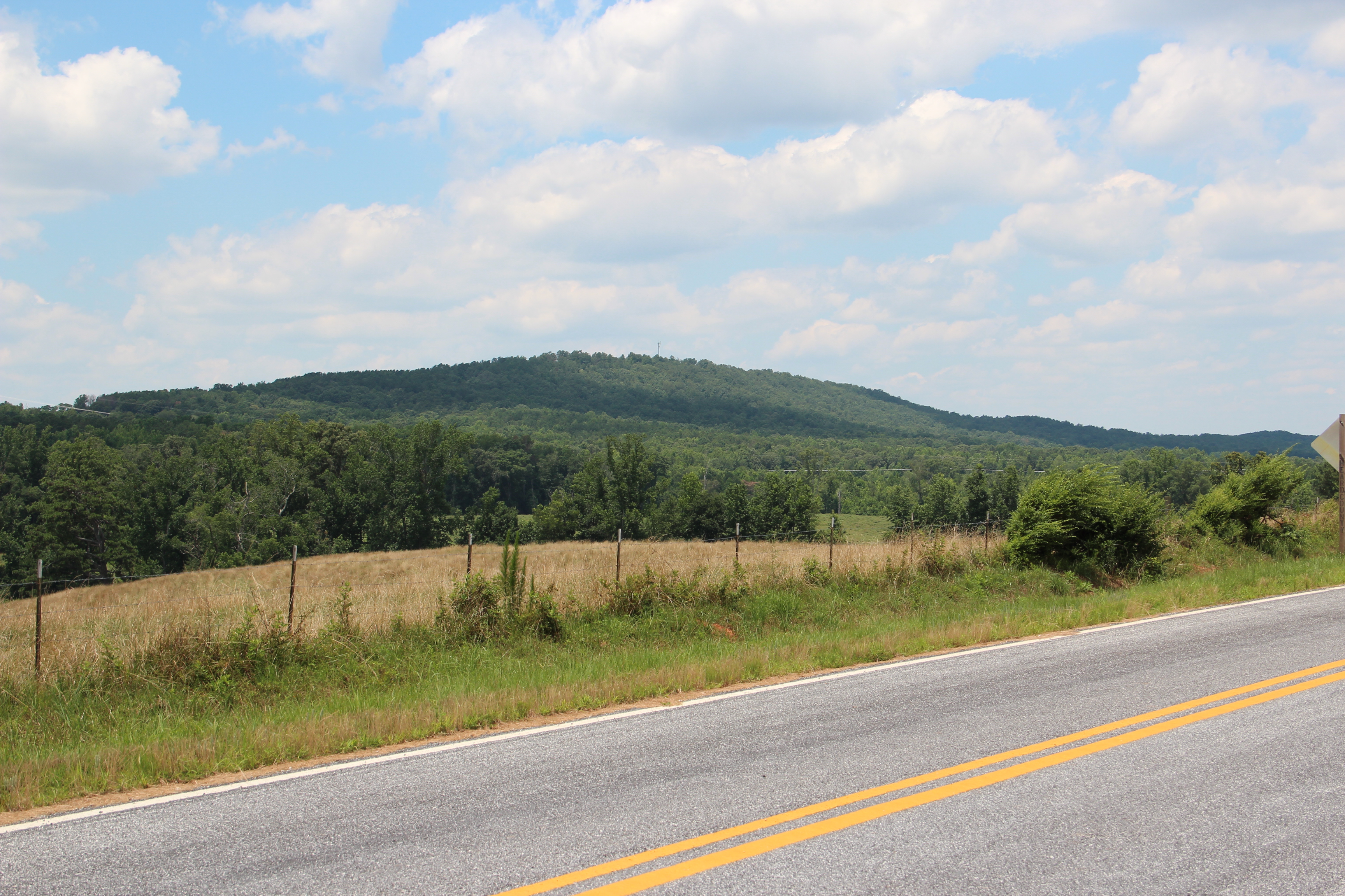
Blackjack Mountain

Blackjack Mountain
Topographic Map of E College St, Bowdon, GA, USA
Find elevation by address:

Places near E College St, Bowdon, GA, USA:
611 E College St
616 E College St
Bowdon
GA-, Bowdon, GA, USA
65 Beauchamp Rd
Tanyard Rd, Bowdon, GA, USA
Reavesville Road
754 Old Columbus Rd
166 Old Bowdon Rd
166 Old Bowdon Rd
1686 Reavesville Rd
2376 Ga-100
GA-, Bowdon, GA, USA
177 Stateline Rd
49 Stoney Point Rd, Bowdon, GA, USA
Ranburne
Main St, Ranburne, AL, USA
100 Maddox Rd
Old Columbus Rd, Bowdon, GA, USA
Roopville Veal Rd, Roopville, GA, USA
Recent Searches:
- Elevation of Elwyn Dr, Roanoke Rapids, NC, USA
- Elevation of Congressional Dr, Stevensville, MD, USA
- Elevation of Bellview Rd, McLean, VA, USA
- Elevation of Stage Island Rd, Chatham, MA, USA
- Elevation of Shibuya Scramble Crossing, 21 Udagawacho, Shibuya City, Tokyo -, Japan
- Elevation of Jadagoniai, Kaunas District Municipality, Lithuania
- Elevation of Pagonija rock, Kranto 7-oji g. 8"N, Kaunas, Lithuania
- Elevation of Co Rd 87, Jamestown, CO, USA
- Elevation of Tenjo, Cundinamarca, Colombia
- Elevation of Côte-des-Neiges, Montreal, QC H4A 3J6, Canada