Elevation of Roosevelt St, Corona, CA, USA
Location: United States > California > Riverside County > Corona >
Longitude: -117.53306
Latitude: 33.8859826
Elevation: 222m / 728feet
Barometric Pressure: 99KPa
Elevation Map:
Satellite Map:
Related Photos:
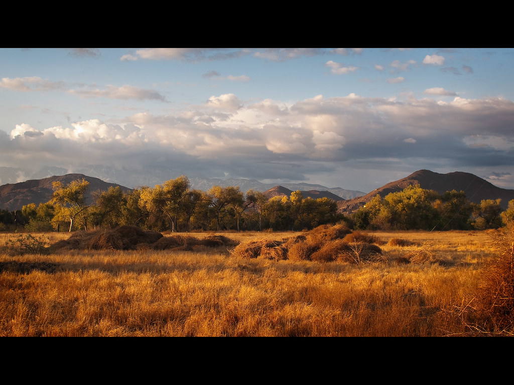
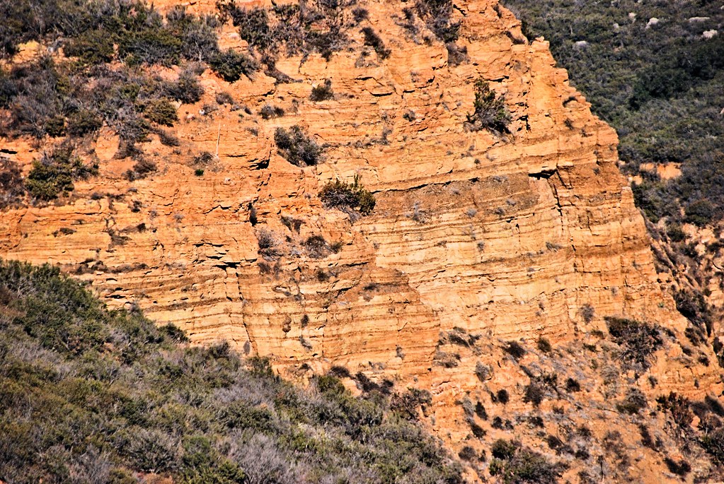
Outskirts 2
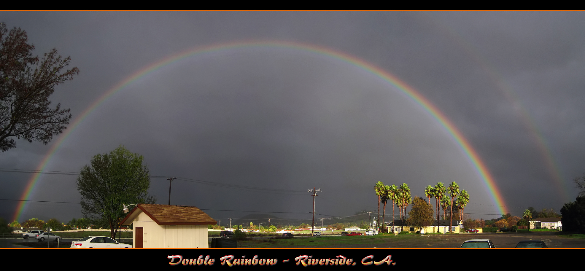
The Double Rainbow in a Storm

VAN West
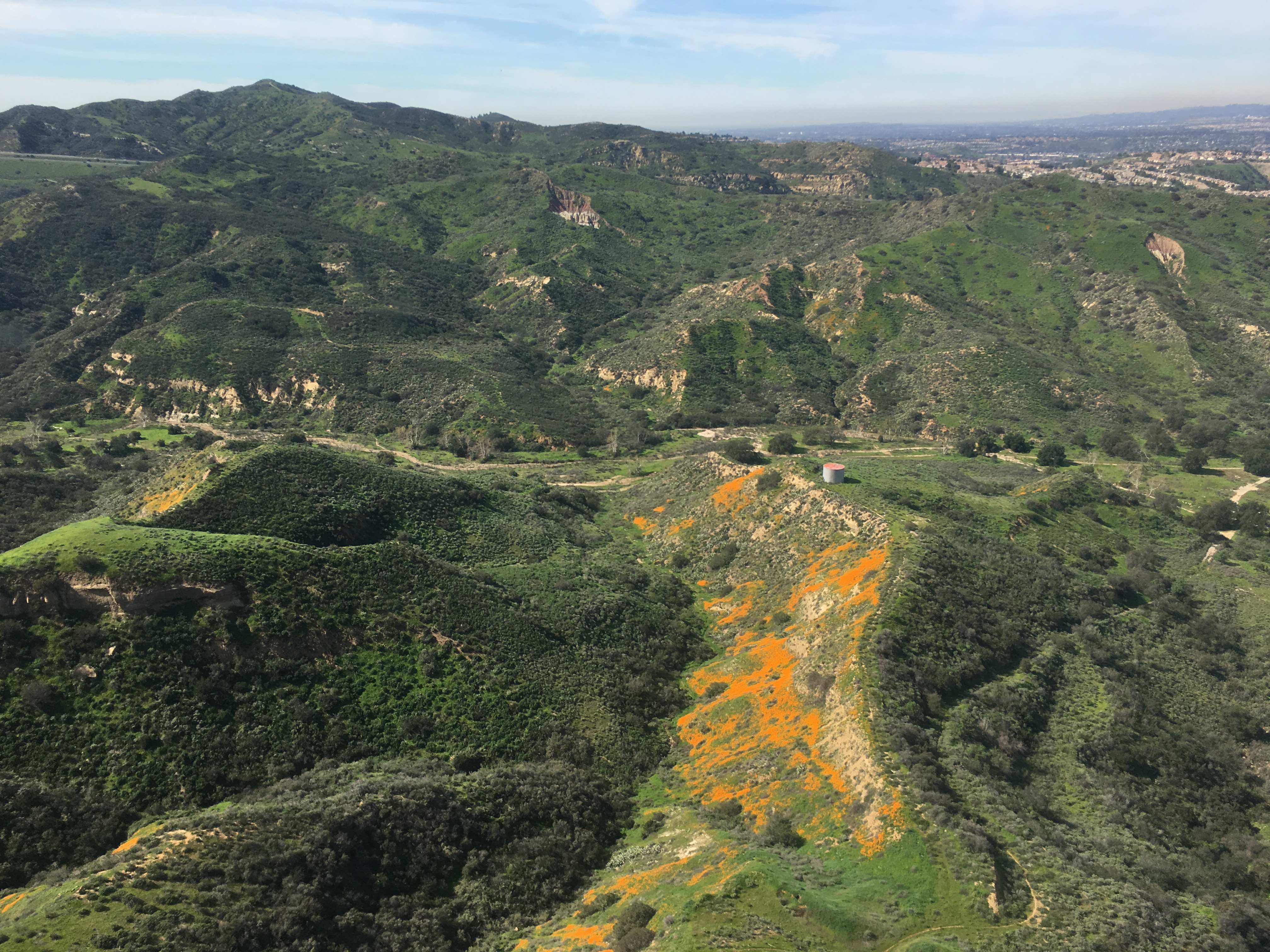
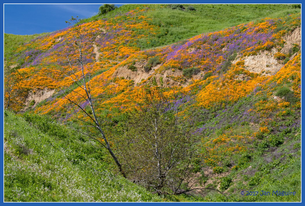
Gypsum Canyon Poppies
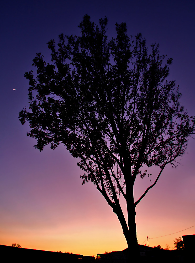
Venus and the Moon at Sunset
Planes of Fame Air Museum - DSC_3264c
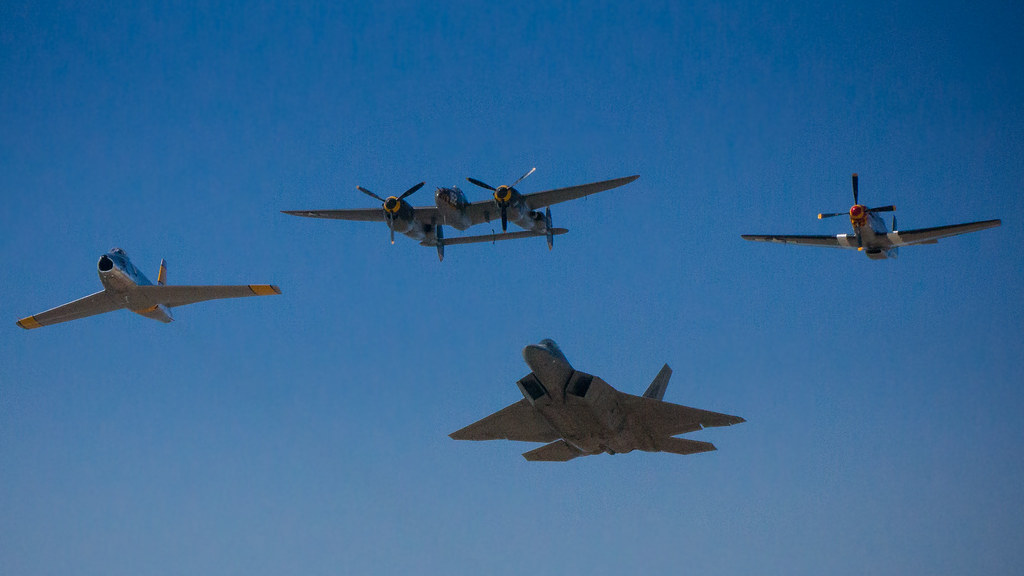
F-22 Raptor & Heritage Flight : USAF F-22 Raptor Demonstration Team & Vintage Fighter Aircraft Heritage Flight
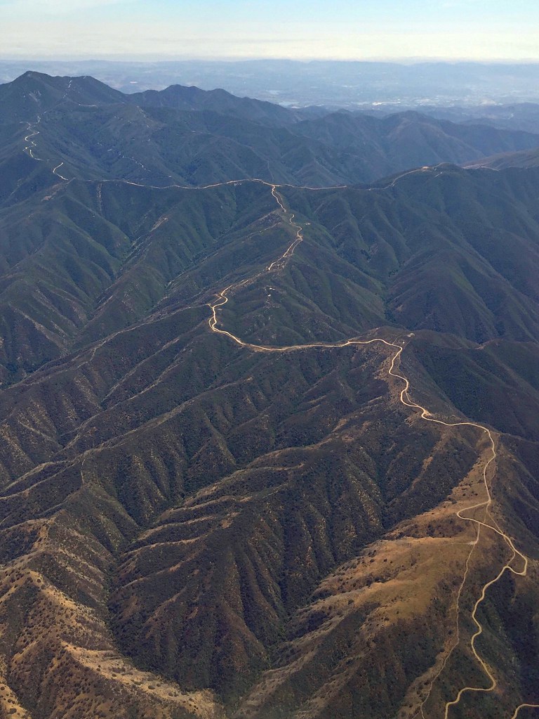
Somewhere near Corona in CA - view from airplane window

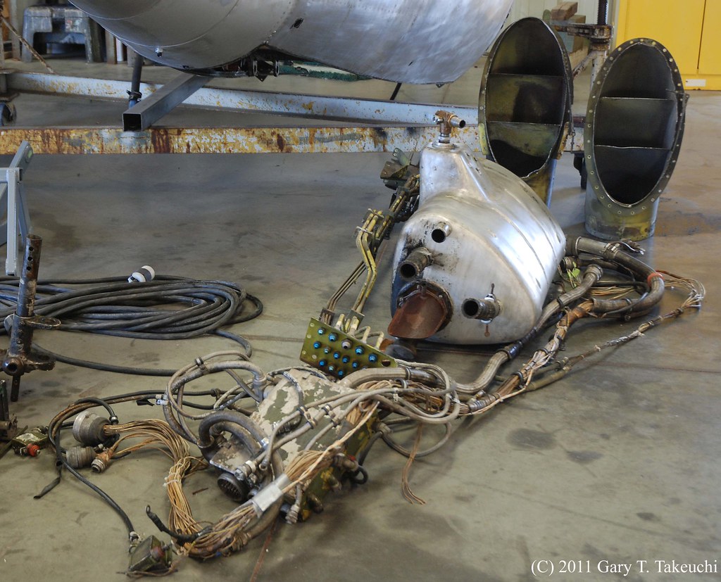
Boeing B-17G Flying Fortress

Leaning Centennial

Riverside - 6350 Van Buren Blvd.
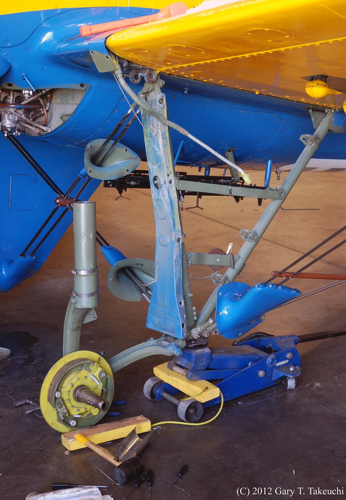
Planes of Fame Air Museum - DSC_1874c

Riverside - Sears
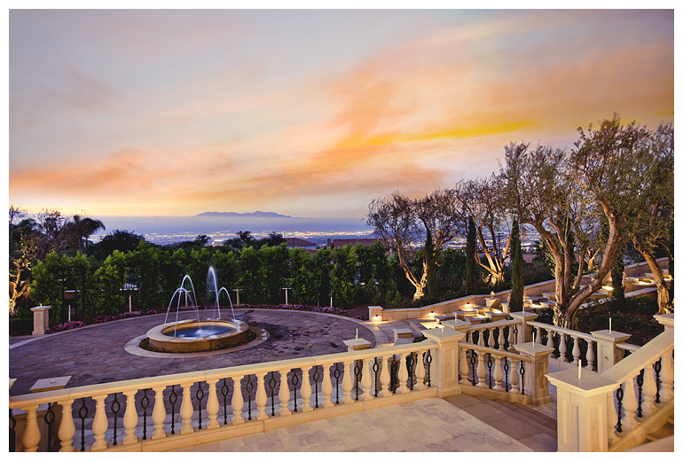
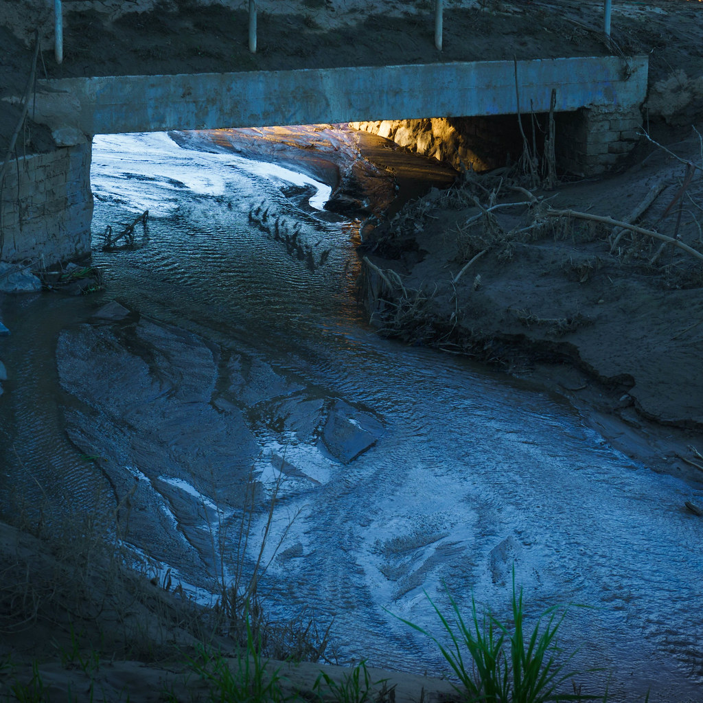
Twilight View
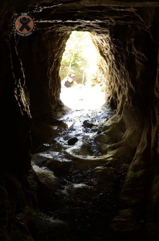
View from the inside of the mine shaft
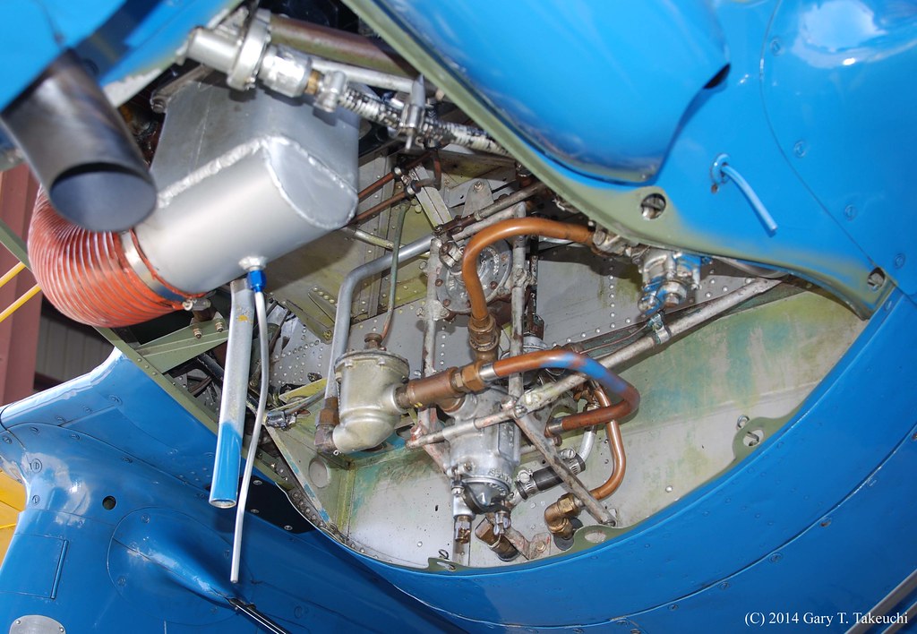
Planes of Fame Air Museum - DSC_2676c
#santarosaplateau #california_igers #jj_forum_0419
View of the Santa Ana mountain foothills from the Dos Lagos bridge.

#jj_forum_0420
CA Citrus State Historic Park - Sunkist Center
Planes of Fame Air Museum - DSC_5358c
Bokeh Boy
Chino Hills 5630
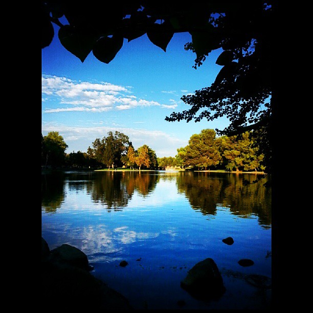
There's Only You and Me

#new#travel#followme#tourism#instagramers#photolover#tbt#lol#nature#vivid#color#blue#sky#myart#egypt#redSea#tabaheight#justanidea#fun#lol#stillphoto#snapshot#peace#samiaphotography.com#losangeles#california#usa
#new#landscape#nature#SantaAna#River#instamood#tbt#lol#sky#blue#parks#outdoors#summer#heat#Anaheim#CA#USA
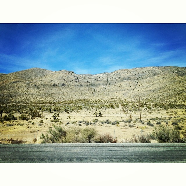
The drive home. Last shot for the day. #Desert #cacti #mountains
#new#landscape#nature#SantaAnaRiver#instalove#lol#tbt#blue#sky#parks#outdoors#summer#heat#Anaheim#justanidea#express#yourself#CA#USA

The Morning After at the Fire

Mariposa Preserve #2
Fremont Canyon
The Road
Anza HDR
Black Star Canyon
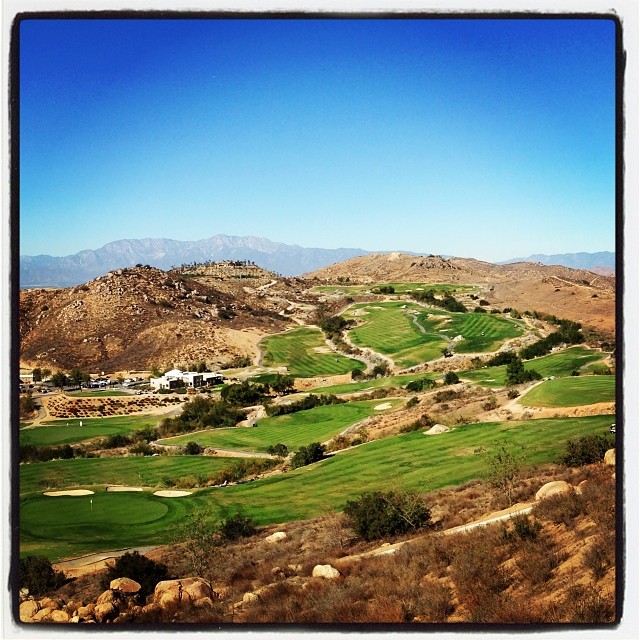
Always enjoy playing here.

#new#greatfall#changingleaves#vivid#color#instaphoto#tbt#lol#fun#peace#nature#justanidea#coloroflight#expressyourself#nationalpark#anaheim#ca

The clouds were pink. I used an iPod touch to take the pictures.

The clouds were pink. I used an iPod touch to take the pictures.
Mariposa Preserve (color)
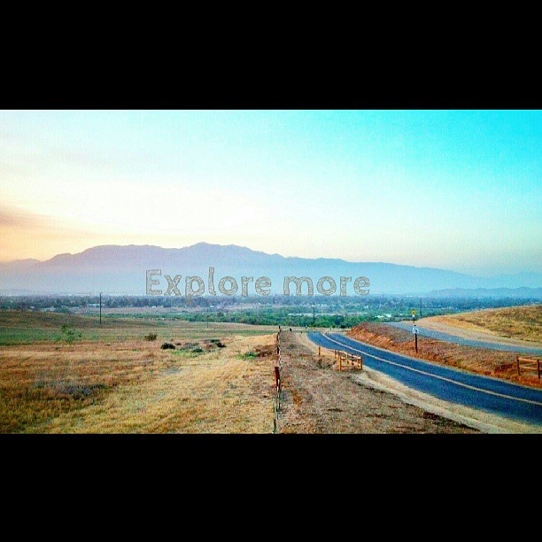
Happy Friday everyone! #exploremore #nature #hiddenvalley #sunset #landscape #photolife

A Stormy Day In Jurupa Valley II
Topographic Map of Roosevelt St, Corona, CA, USA
Find elevation by address:

Places near Roosevelt St, Corona, CA, USA:
400 Yosemite Cir
East Bentley Drive
TRM Cir, Corona, CA, USA
149 Via Trevizio
Grant St, Corona, CA, USA
Home Gardens
Norco Hills
2516 Abilene
590 Mondale St
Dalia's Pizza
700 Canterbury St
710 Canterbury St
Fuller Street
12661 Hollyglen Cir
803 Magnolia Ave
1901 Nutwood Cir
Corona
800 S. Main St & Ninth St @ Crmc
Winston Way, Corona, CA, USA
T-mobile
Recent Searches:
- Elevation of Vista Blvd, Sparks, NV, USA
- Elevation of 15th Ave SE, St. Petersburg, FL, USA
- Elevation of Beall Road, Beall Rd, Florida, USA
- Elevation of Leguwa, Nepal
- Elevation of County Rd, Enterprise, AL, USA
- Elevation of Kolchuginsky District, Vladimir Oblast, Russia
- Elevation of Shustino, Vladimir Oblast, Russia
- Elevation of Lampiasi St, Sarasota, FL, USA
- Elevation of Elwyn Dr, Roanoke Rapids, NC, USA
- Elevation of Congressional Dr, Stevensville, MD, USA