Elevation of Abilene, Norco, CA, USA
Location: United States > California > Riverside County > Norco > Norco Hills >
Longitude: -117.54817
Latitude: 33.9014553
Elevation: 235m / 771feet
Barometric Pressure: 99KPa
Elevation Map:
Satellite Map:
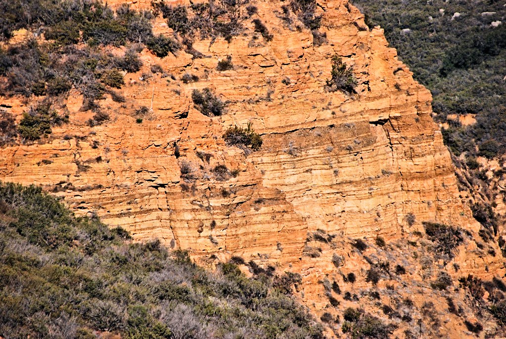
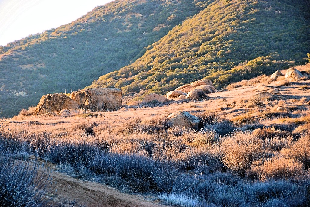
Related Photos:
The Double Rainbow in a Storm
Venus and the Moon at Sunset
San Gabriel Mtns
Somewhere near Corona in CA - view from airplane window

Riverside - 6350 Van Buren Blvd.
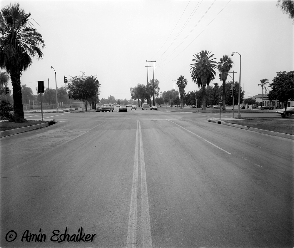
East Grand Avenue at North Main Street, Corona Ca (1973)-01
Sunset View
Twilight View

Car Wash, Working At The Car Wash Yeah
#santarosaplateau #california_igers #jj_forum_0419

Planes of Fame Air Museum - DSC_0016

im·mer·sion
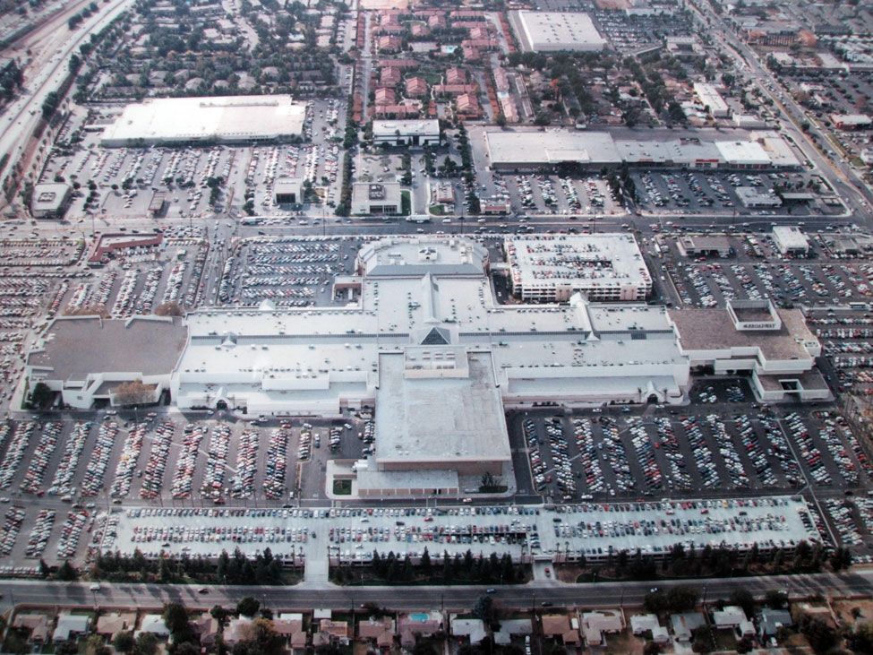
Riverside - Galleria at Tyler
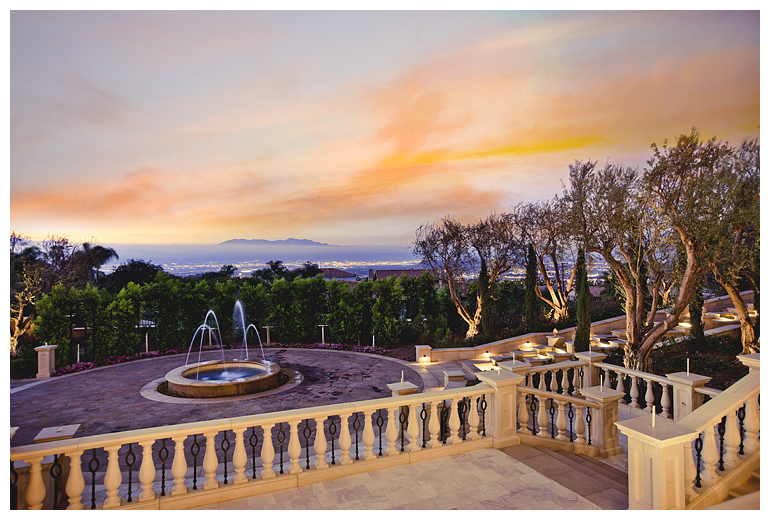
Fountain and Views

Fence Ornament

Corsair Getting some Rays

Road Sign
Planes of Fame Air Museum - DSC_3264c

Boeing B-17G Flying Fortress

F-22 Raptor & Heritage Flight : USAF F-22 Raptor Demonstration Team & Vintage Fighter Aircraft Heritage Flight

Sunset View of Corona, CA

Bokeh Boy

The Morning After at the Fire

Mariposa Preserve #2
The Road
Black Star Canyon
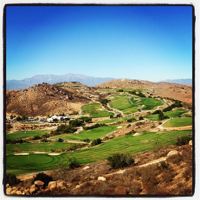
Always enjoy playing here.
Mariposa Preserve (color)
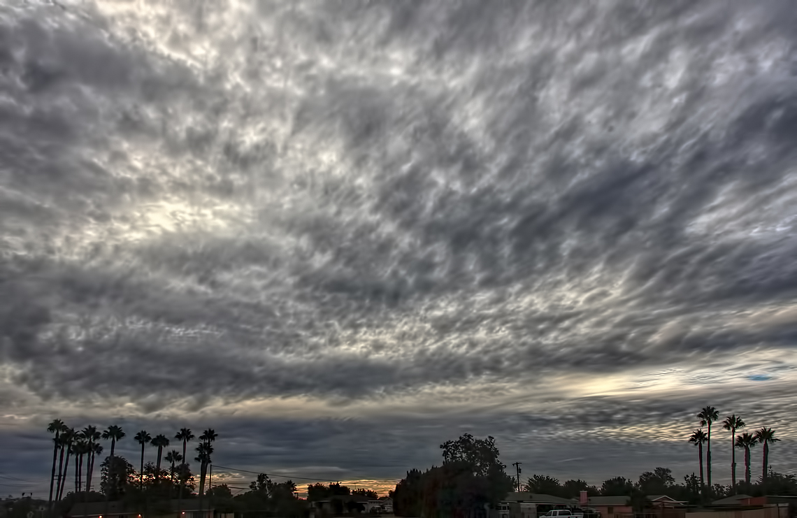
A Stormy Day In Jurupa Valley

F-16 Viper at Twilight in Full Afterburner
#santarosaplateau #california_igers #california #jj #october
#goldenstate #california
walk trail rain cloud
Just a lil' walk in the park...
Anza HDR
Under the Palm Tree
w i d e o p e n s p a c e s
P-40 Warhawk

Wedding...

10 mile hike to start 2014. .WOOT!
Topographic Map of Abilene, Norco, CA, USA
Find elevation by address:

Places near Abilene, Norco, CA, USA:
Norco Hills
429 Roosevelt St
400 Yosemite Cir
149 Via Trevizio
TRM Cir, Corona, CA, USA
508 Bramble Ln
East Bentley Drive
Fuller Street
Naval Sea Systems Command
Corona
800 S. Main St & Ninth St @ Crmc
Dalia's Pizza
Grant St, Corona, CA, USA
590 Mondale St
Home Gardens
710 Canterbury St
700 Canterbury St
803 Magnolia Ave
2860 Chestnut Dr
1901 Nutwood Cir
Recent Searches:
- Elevation of Elwyn Dr, Roanoke Rapids, NC, USA
- Elevation of Congressional Dr, Stevensville, MD, USA
- Elevation of Bellview Rd, McLean, VA, USA
- Elevation of Stage Island Rd, Chatham, MA, USA
- Elevation of Shibuya Scramble Crossing, 21 Udagawacho, Shibuya City, Tokyo -, Japan
- Elevation of Jadagoniai, Kaunas District Municipality, Lithuania
- Elevation of Pagonija rock, Kranto 7-oji g. 8"N, Kaunas, Lithuania
- Elevation of Co Rd 87, Jamestown, CO, USA
- Elevation of Tenjo, Cundinamarca, Colombia
- Elevation of Côte-des-Neiges, Montreal, QC H4A 3J6, Canada