Elevation of Roorkee, Uttarakhand, India
Location: India > Uttarakhand > Haridwar >
Longitude: 77.8880002
Latitude: 29.8542626
Elevation: 276m / 906feet
Barometric Pressure: 98KPa
Elevation Map:
Satellite Map:
Related Photos:

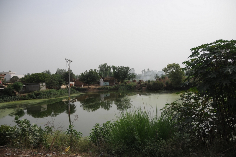
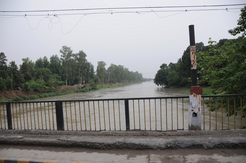
CSP_2609.JPG

CSP_2612.JPG
Karaundi, Uttarakhand
Roorkee Cantt, Uttarakhand

CSP_2611.JPG

CSP_2614.JPG

CSP_2617.JPG

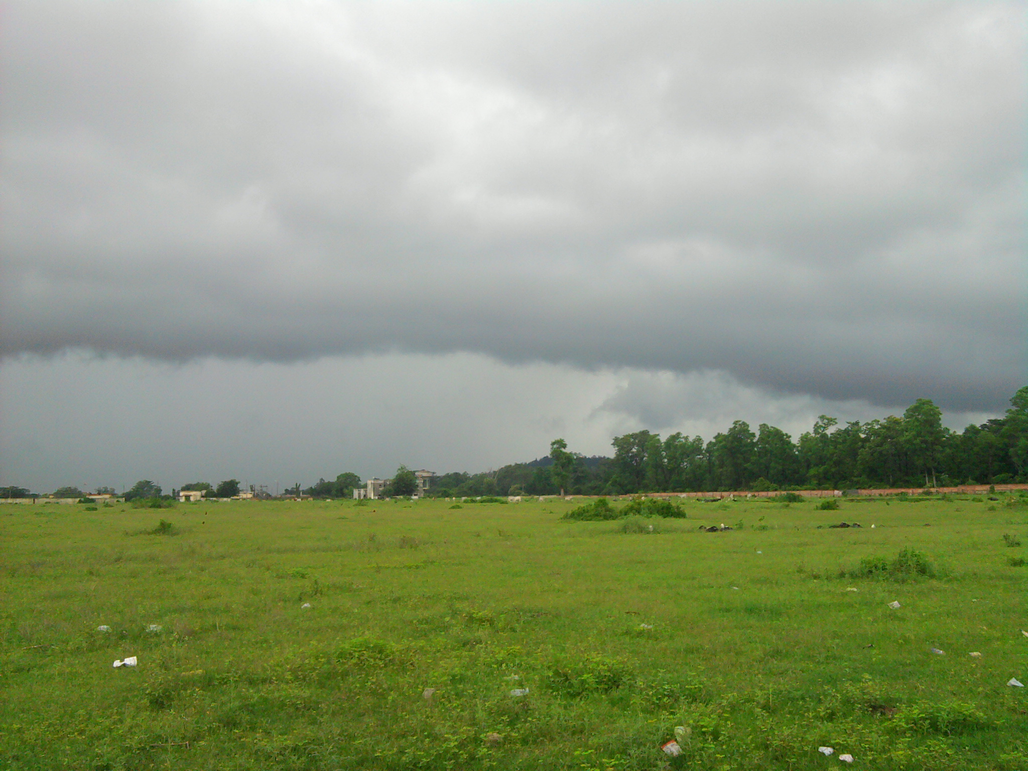
Photo2544

Topographic Map of Roorkee, Uttarakhand, India
Find elevation by address:

Places near Roorkee, Uttarakhand, India:
Manglaur
Piran Kaliyar
Haridwar
Deoband
Rashid Masjid Rd, Matkota, Deoband, Uttar Pradesh, India
Matkota
Haridwar
Mdr 2w
Mdr 2w
Muzaffarabad
Saharanpur
Saharanpur
Graphic Era (deemed To Be University)
Subhash Nagar
Inderpur
Rishikesh
Seema Dwar
Sadhauli Qadeem
Dehradun
National Highway 72
Recent Searches:
- Elevation of Kambingan Sa Pansol Atbp., Purok 7 Pansol, Candaba, Pampanga, Philippines
- Elevation of Pinewood Dr, New Bern, NC, USA
- Elevation of Mountain View, CA, USA
- Elevation of Foligno, Province of Perugia, Italy
- Elevation of Blauwestad, Netherlands
- Elevation of Bella Terra Blvd, Estero, FL, USA
- Elevation of Estates Loop, Priest River, ID, USA
- Elevation of Woodland Oak Pl, Thousand Oaks, CA, USA
- Elevation of Brownsdale Rd, Renfrew, PA, USA
- Elevation of Corcoran Ln, Suffolk, VA, USA