Elevation of National Highway 72, NH72, India
Location: India > Uttarakhand > Dehradun > Dehradun > Indian Military Academy >
Longitude: 77.9893411
Latitude: 30.3323293
Elevation: 643m / 2110feet
Barometric Pressure: 94KPa
Elevation Map:
Satellite Map:
Related Photos:
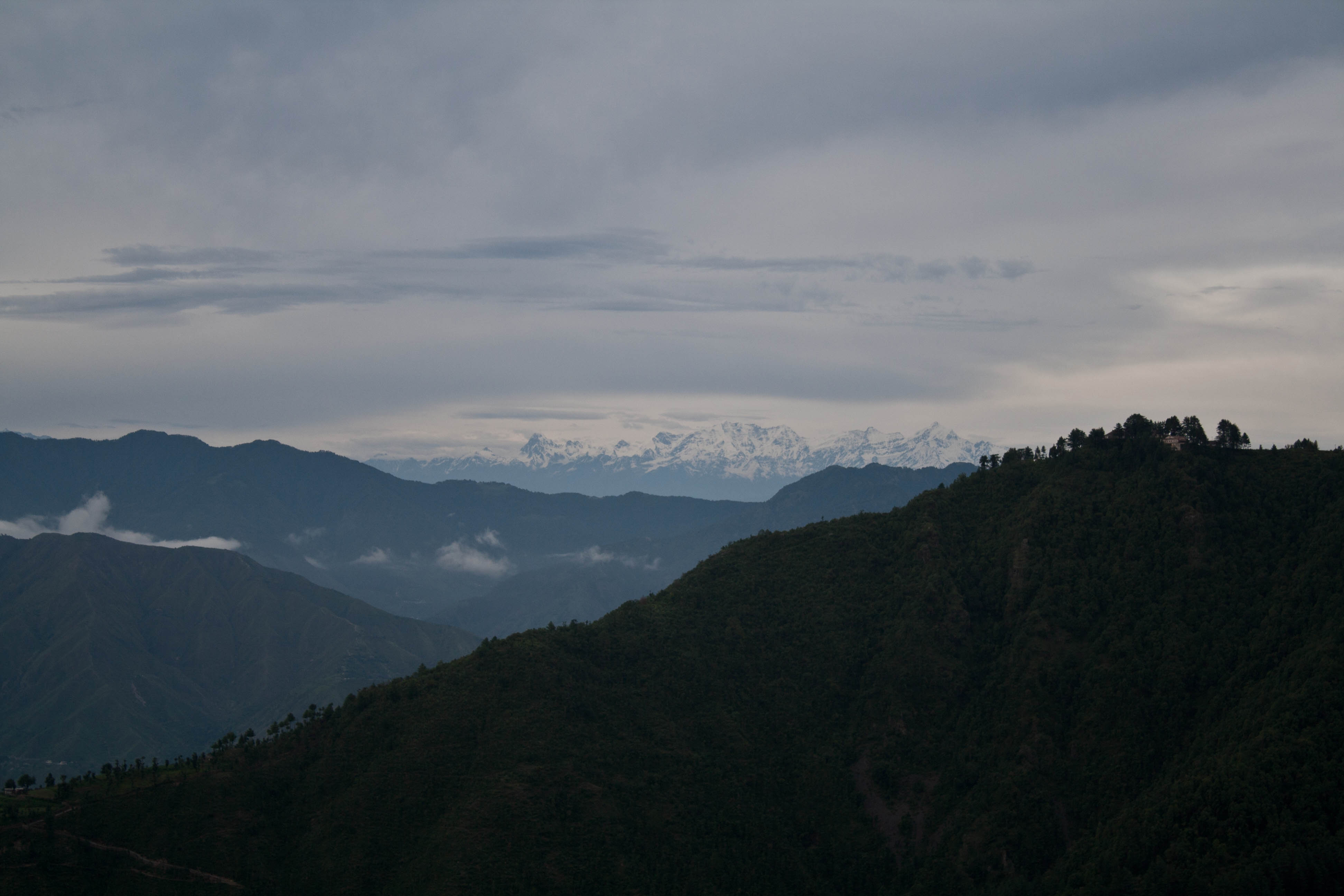
a view of dehradun

Mussorrie view
view from the top
Always awesome to be at maggi point in Dehradun and enjoying the view after rainy day. )) #maggipoint #natura #nature #landscape #photography #dehradun #city #foothills #himalayas #clouds #green #blue #himalayamountainrange #mountain #tinybuilding #house
View from the room at Mussoorie. There's something to this place; a certain connect I feel with the surroundings, the mountains, the landscape, the shops, the arcades and almost everything that makes this place what it is. This could be probably because o
Badrinath view
Topographic Map of National Highway 72, NH72, India
Find elevation by address:

Places near National Highway 72, NH72, India:
Indian Military Academy
Seema Dwar
Kaulagarh
Pondha
Dehradun
Dehradun
Subhash Nagar
Upes(uttarakhand Petrolium And Energy Studies)
Bhel Chowk
Graphic Era (deemed To Be University)
Kedarkantha Trek
Hiranyagarbh Trust
Karanpur
Vikas Lok
Sahastradhara Road
Sahastradhara Road
Sahastradhara Road
Upes
Inderpur
Khalanga
Recent Searches:
- Elevation of Corso Fratelli Cairoli, 35, Macerata MC, Italy
- Elevation of Tallevast Rd, Sarasota, FL, USA
- Elevation of 4th St E, Sonoma, CA, USA
- Elevation of Black Hollow Rd, Pennsdale, PA, USA
- Elevation of Oakland Ave, Williamsport, PA, USA
- Elevation of Pedrógão Grande, Portugal
- Elevation of Klee Dr, Martinsburg, WV, USA
- Elevation of Via Roma, Pieranica CR, Italy
- Elevation of Tavkvetili Mountain, Georgia
- Elevation of Hartfords Bluff Cir, Mt Pleasant, SC, USA