Elevation of Rockfish River Rd, Schuyler, VA, USA
Location: United States > Virginia > Schuyler >
Longitude: -78.733680
Latitude: 37.7967403
Elevation: 196m / 643feet
Barometric Pressure: 99KPa
Elevation Map:
Satellite Map:
Related Photos:
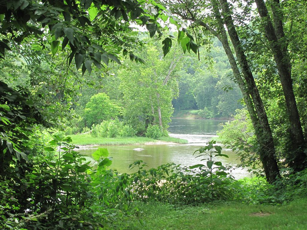
Where Ballenger Creek Meets the James River
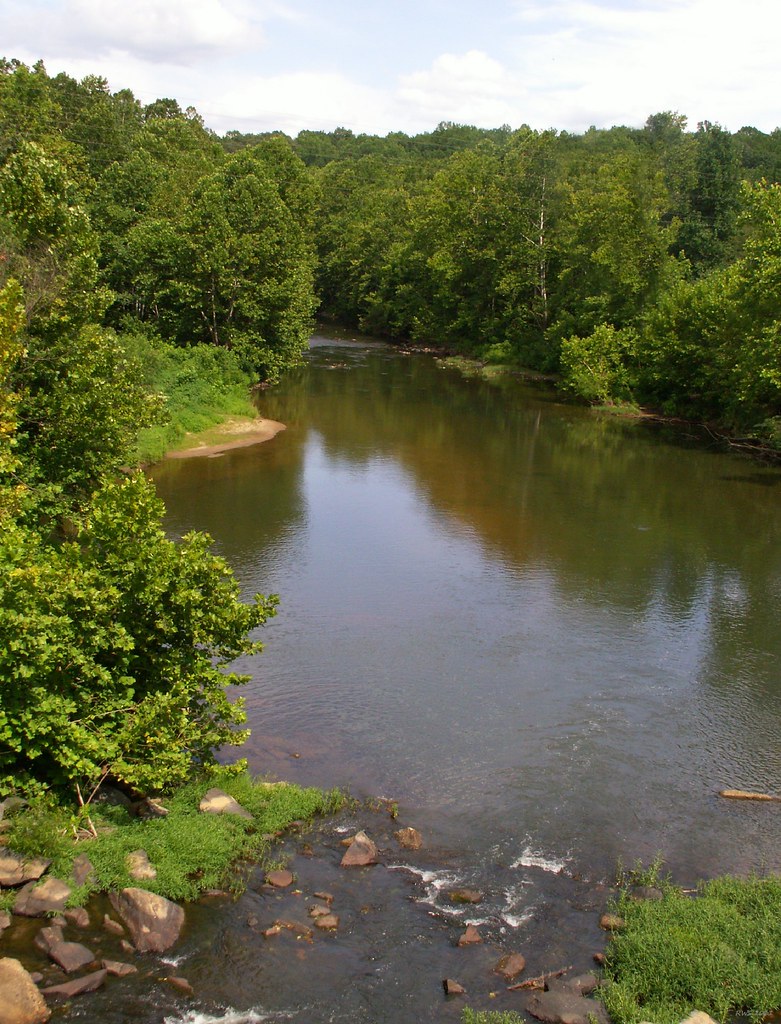
Rockfish River - Schuyler, Virginia
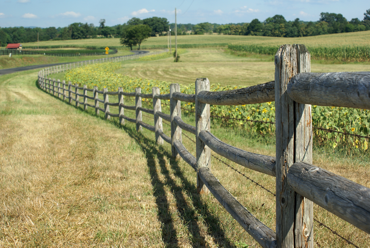
Sunflowers on 626
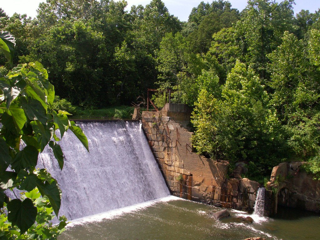
Dam - Schuyler, Virginia

Sunflowers & Barn
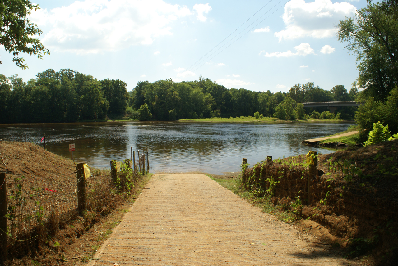
Baber's Landing
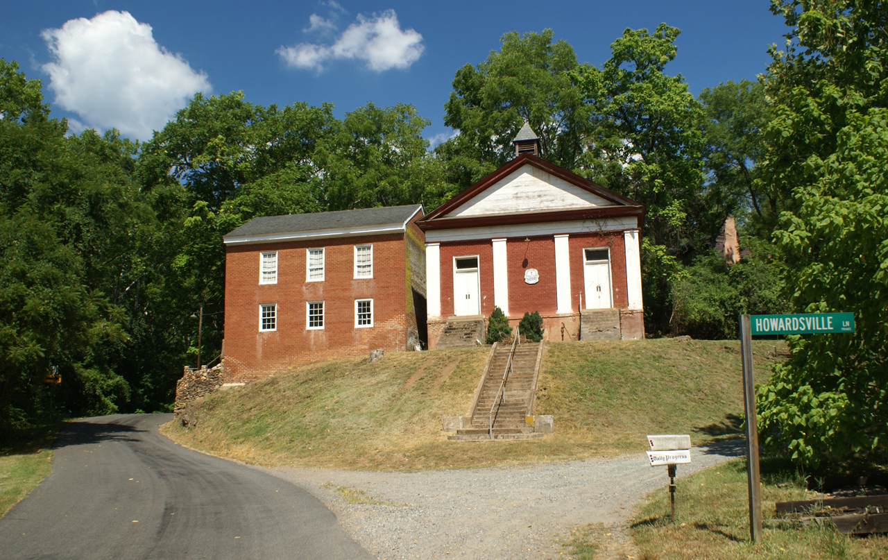
George Lodge 32, Howardsville

View from the Porch

View from Farrar Bridge Road
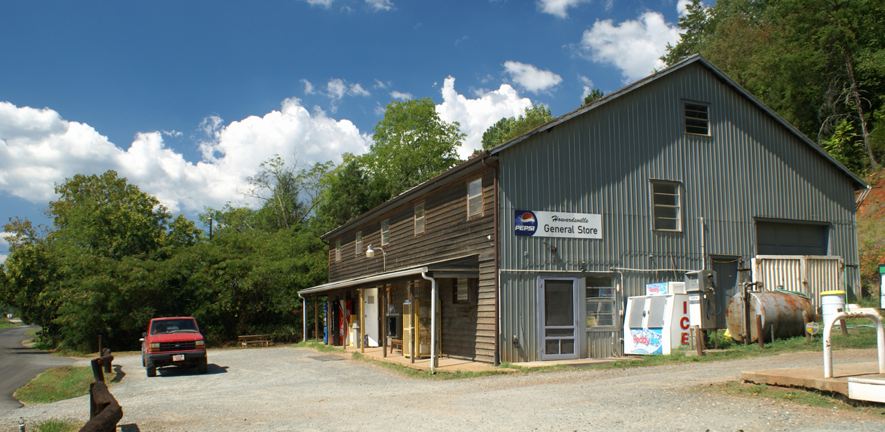
Howardsville General Store

Howardsville Tracks

Route 626 Detour
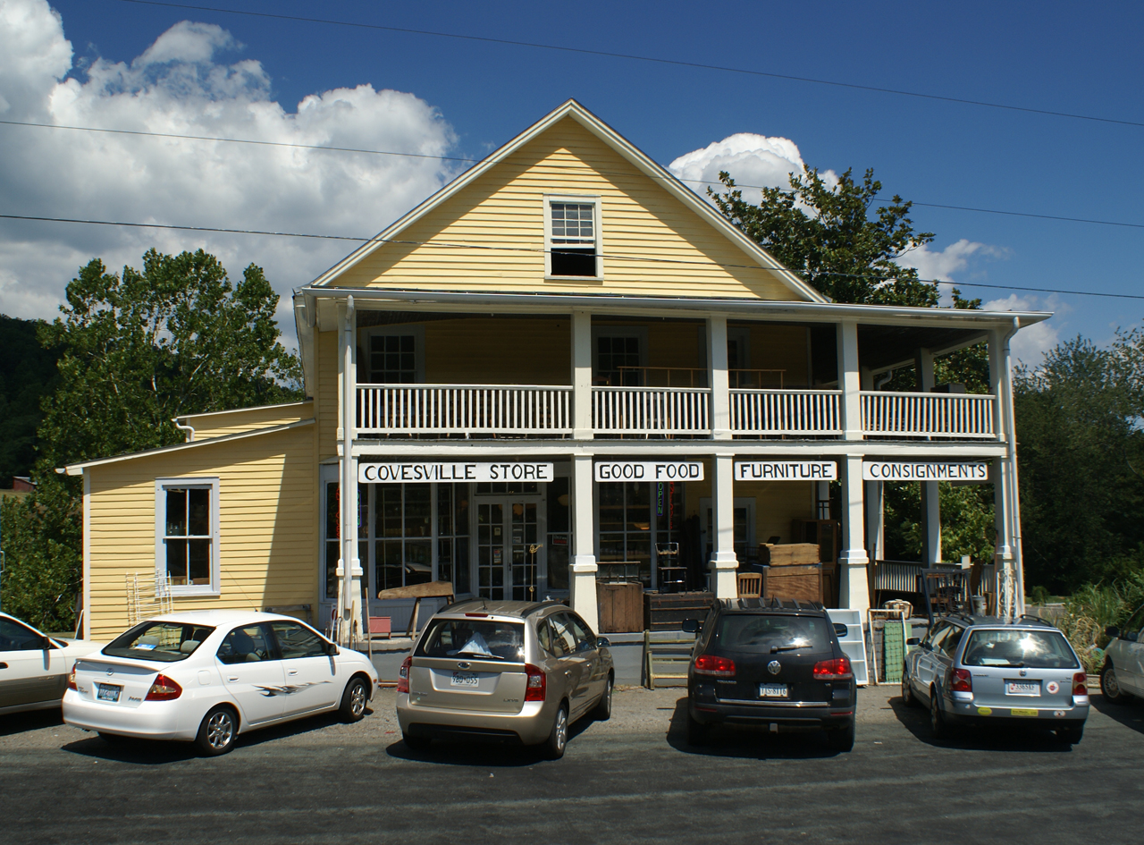
Covesville Store

Fisheye Classroom

View.

IMG_3695.CR2

Cove Presbyterian Church & Cemetery

Oak Ridge Estate sunset

Cove Presbyterian Church Cemetery

#AvonHill #Howardsville #AppalachianTrail #RockFish #Valley #Landscape #Thursday #Hike #Travel #Explore #Adventure #Instatravel

Flowing water at Fortune's Cove
20140204_0023.v01

Triumphant Return on the James River
2013-10-06 13.36.15
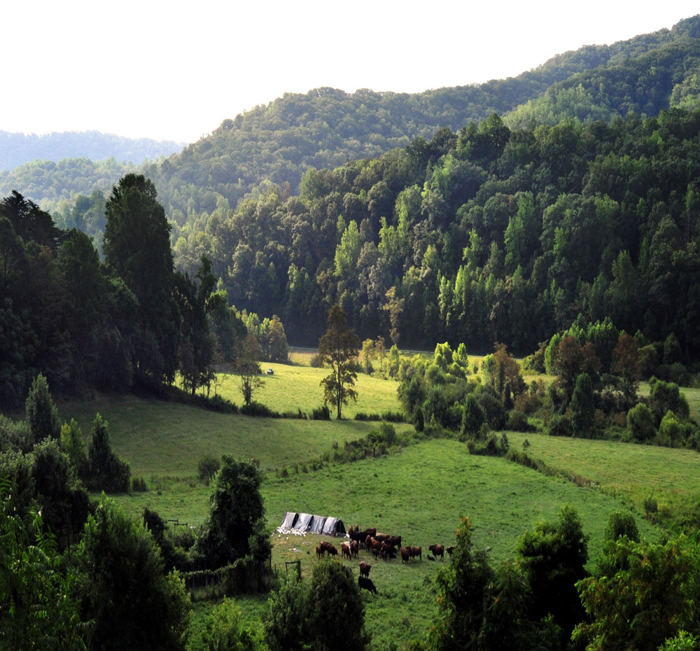
Abandoned - Schuyler, Virginia
Freshwater Cove Panoramic

DelFosse Vineyards and Winery
Davis Creek Valley
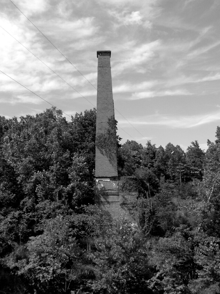
Smokestack - Schuyler, Virginia

Flood Plain
Topographic Map of Rockfish River Rd, Schuyler, VA, USA
Find elevation by address:

Places near Rockfish River Rd, Schuyler, VA, USA:
Faber
Schuyler, VA, USA
The Quarries
Covesville
Bungletown Rd, Schuyler, VA, USA
Esmont
Boatwright Lane, Esmont, VA, USA
5552 Stump Town Ln
North Garden
8532 Langhorne Rd
2885 Southern Hills Dr
Southern Hills
Scottsville
Scottsville
Scottsville
Scottsville
Scottsville
Scottsville
Scottsville
Scottsville
Recent Searches:
- Elevation of Corso Fratelli Cairoli, 35, Macerata MC, Italy
- Elevation of Tallevast Rd, Sarasota, FL, USA
- Elevation of 4th St E, Sonoma, CA, USA
- Elevation of Black Hollow Rd, Pennsdale, PA, USA
- Elevation of Oakland Ave, Williamsport, PA, USA
- Elevation of Pedrógão Grande, Portugal
- Elevation of Klee Dr, Martinsburg, WV, USA
- Elevation of Via Roma, Pieranica CR, Italy
- Elevation of Tavkvetili Mountain, Georgia
- Elevation of Hartfords Bluff Cir, Mt Pleasant, SC, USA