Elevation of Rock Point Road, Rock Point Rd, Burlington, VT, USA
Location: United States > Vermont > Chittenden County > Burlington > New North End >
Longitude: -73.238662
Latitude: 44.4961847
Elevation: 55m / 180feet
Barometric Pressure: 101KPa
Elevation Map:
Satellite Map:
Related Photos:

Richardson Place (1894) – elaborate roofline

The Unknown Sailor pano view
Keeseville, NY
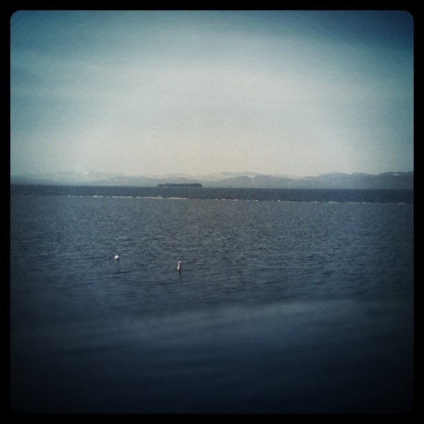
lake.champlain • shoreline
Round Barn, Shelbourne, VT

Keeseville, NY

after.Sandy • sunrise.rainbow (L)
after.Sandy • sunrise.rainbow (R)
mountains majestic
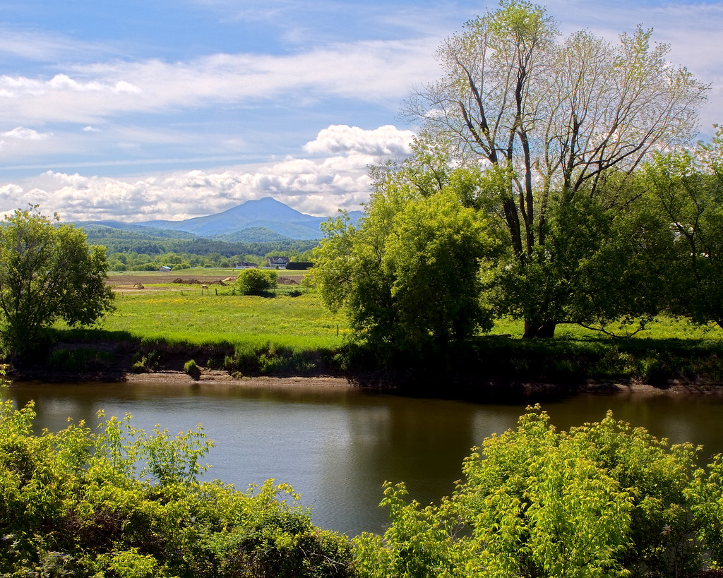
River View
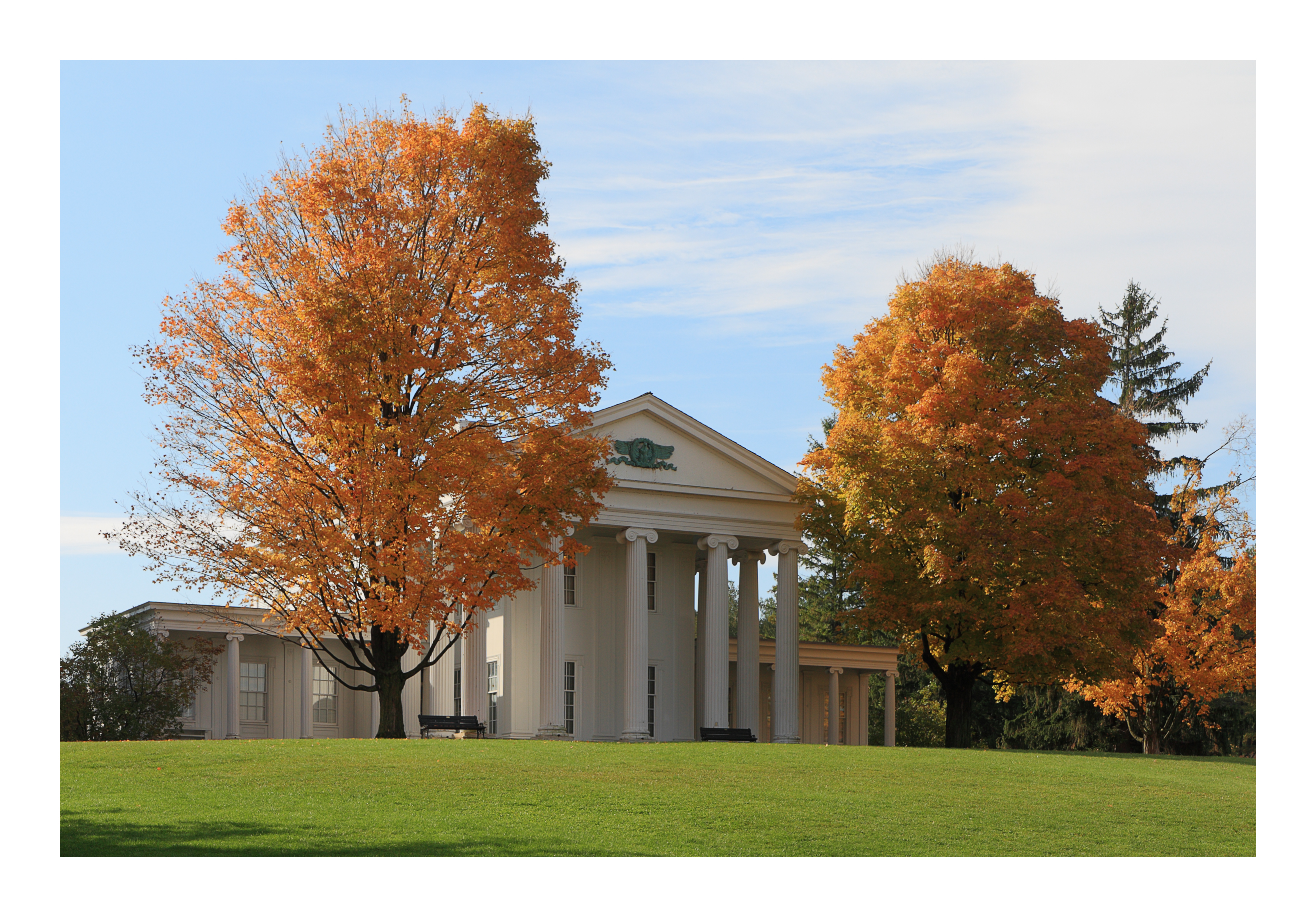
Vermont - Shelburne Museum
Shelburne Farms (1886) – Dairy Barn (1891)
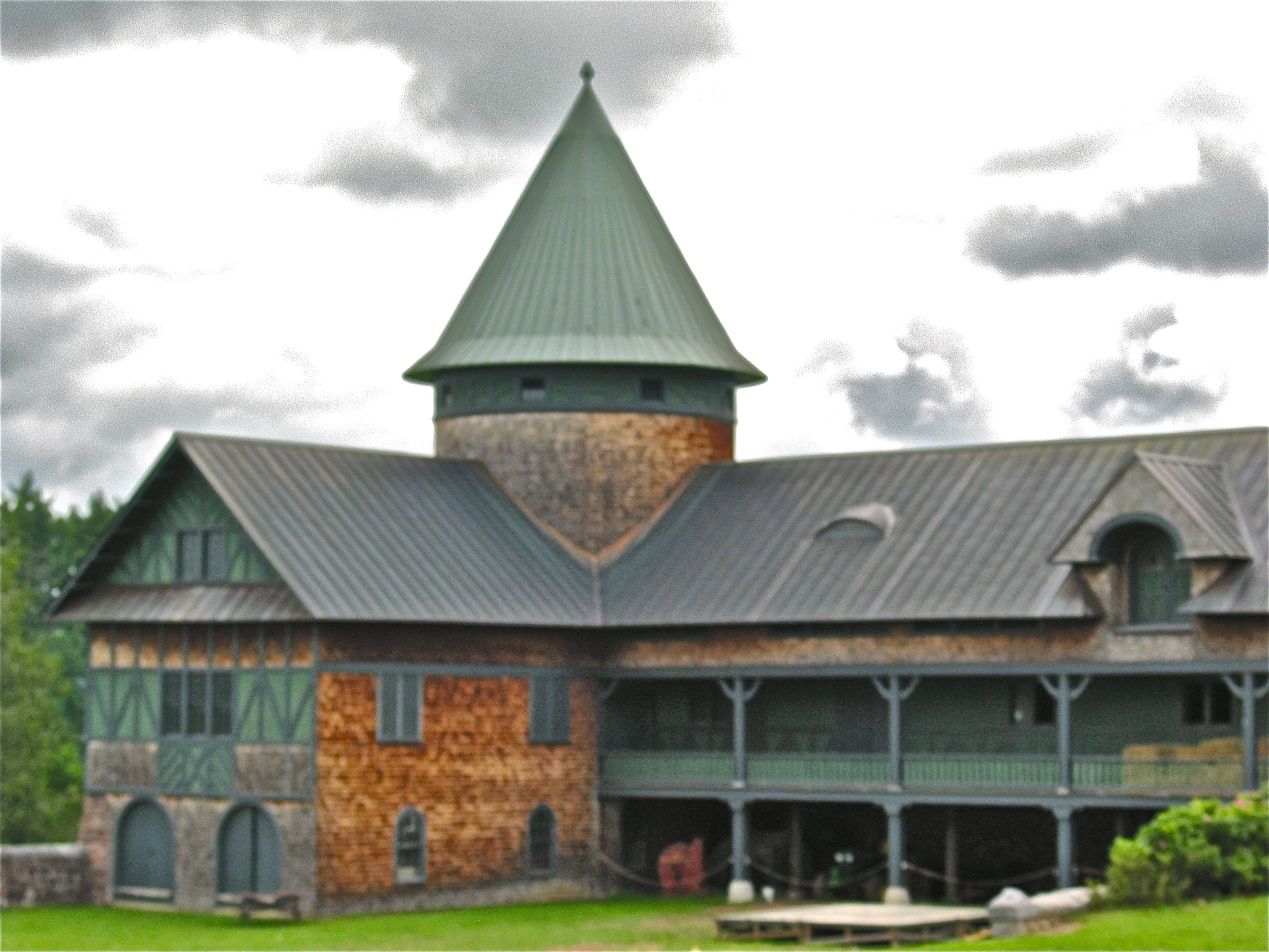
Shelburne Farms (1886) – Farm Barn (1888-90)
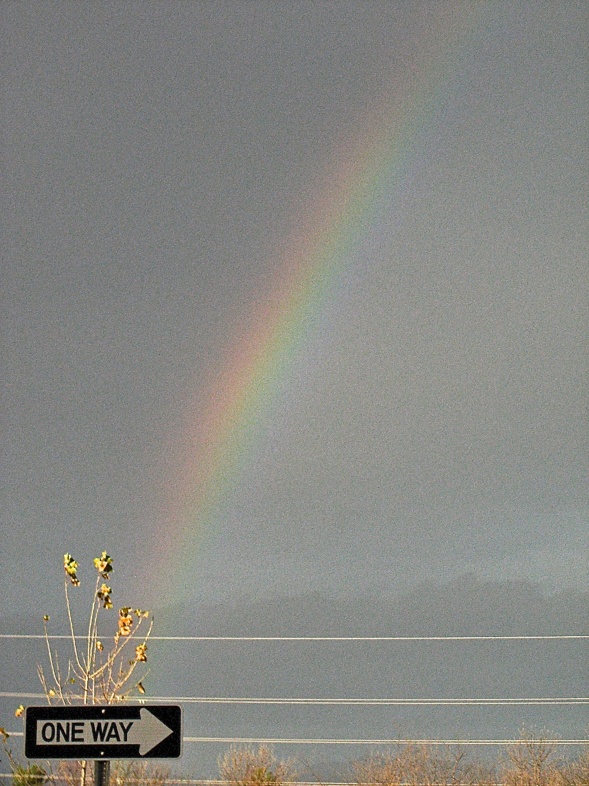
after.Sandy • one.way

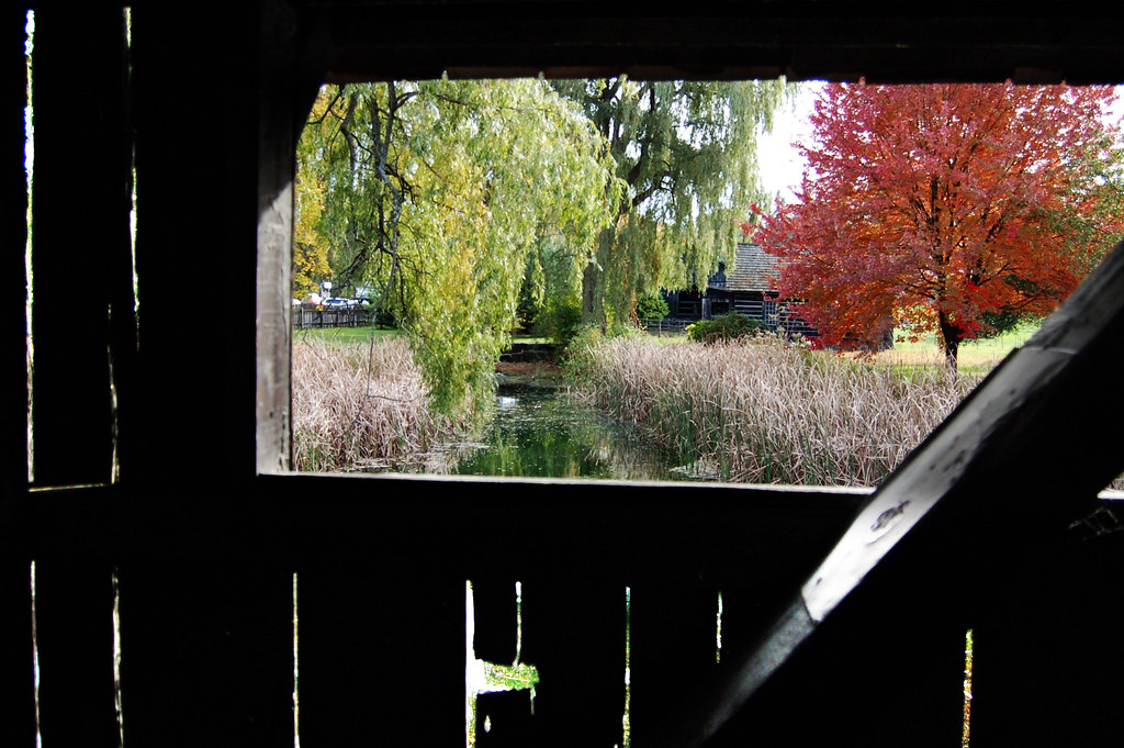
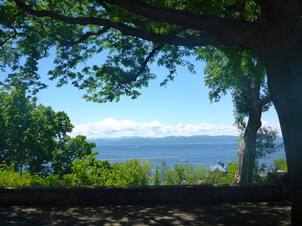
Framing the view
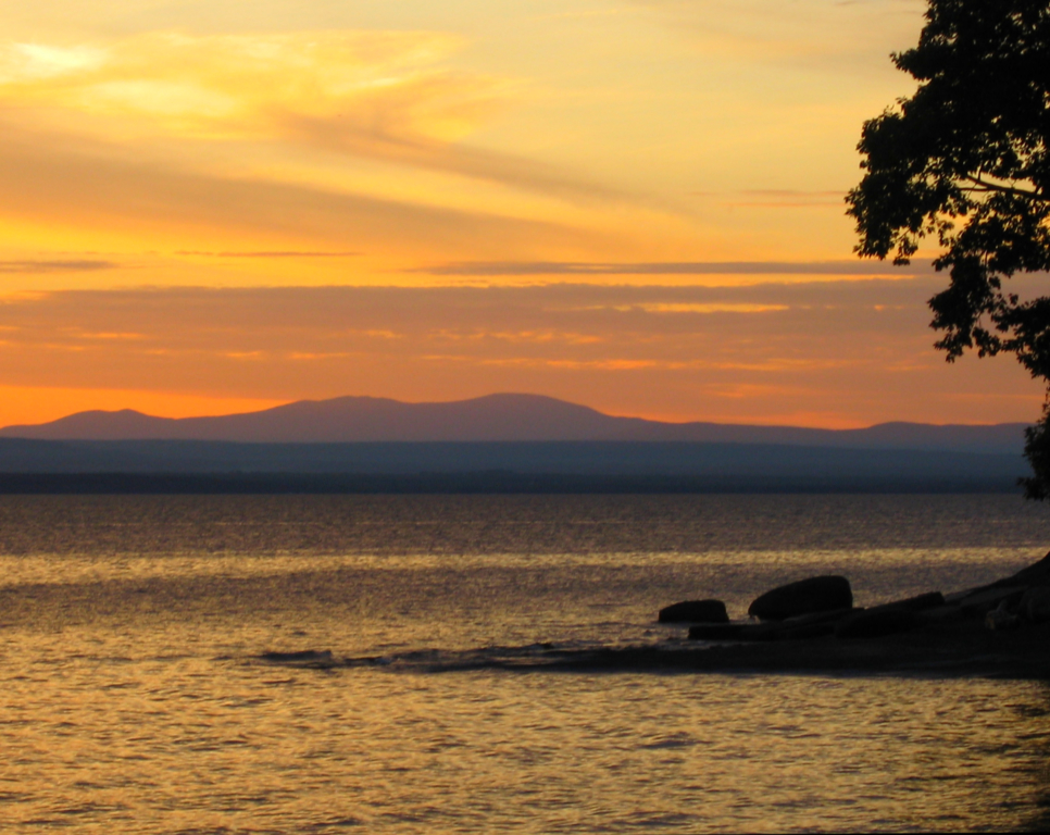
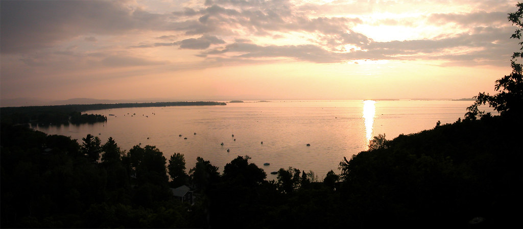
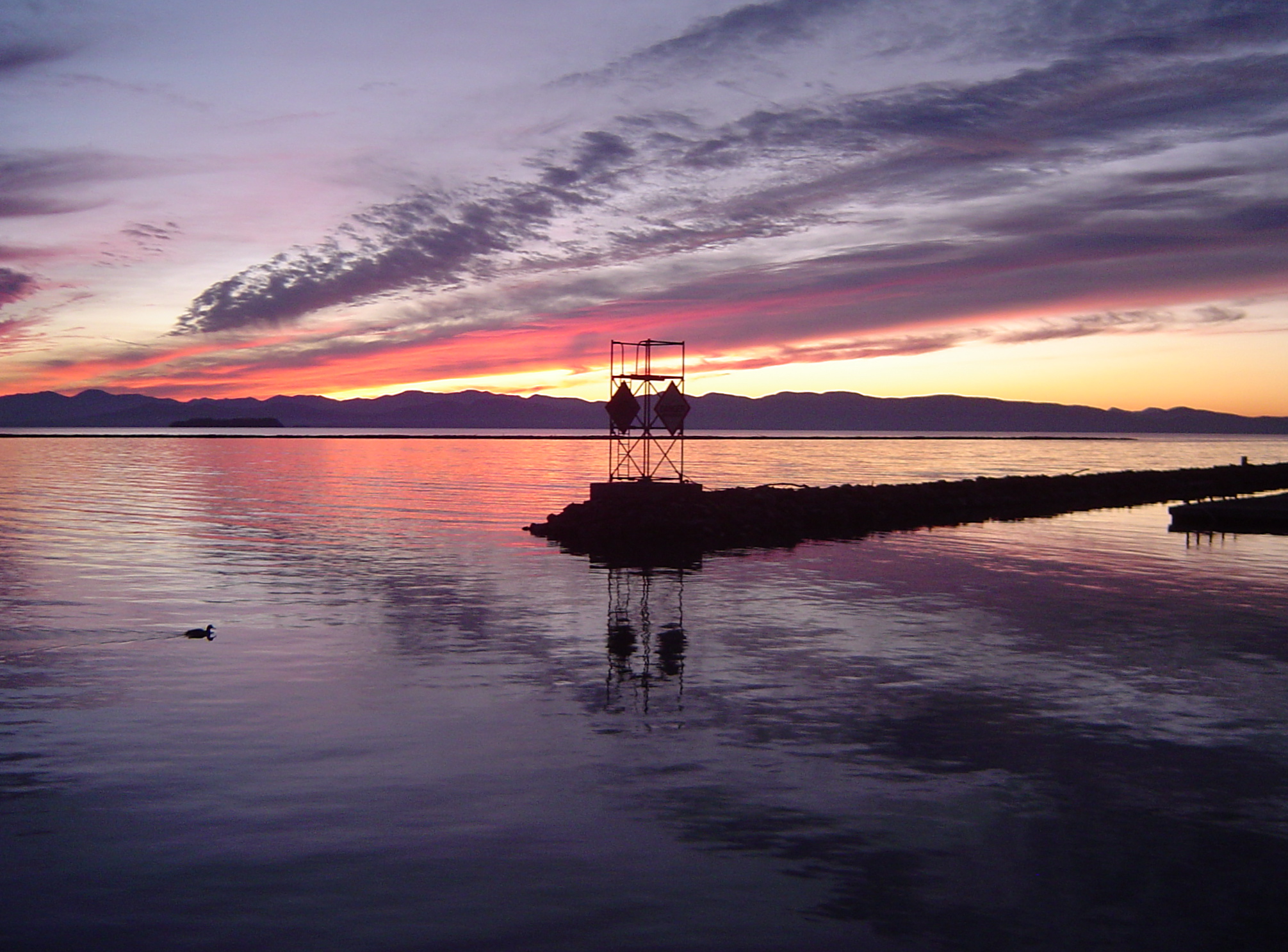
Vermont Sunset, Emmy's Beach
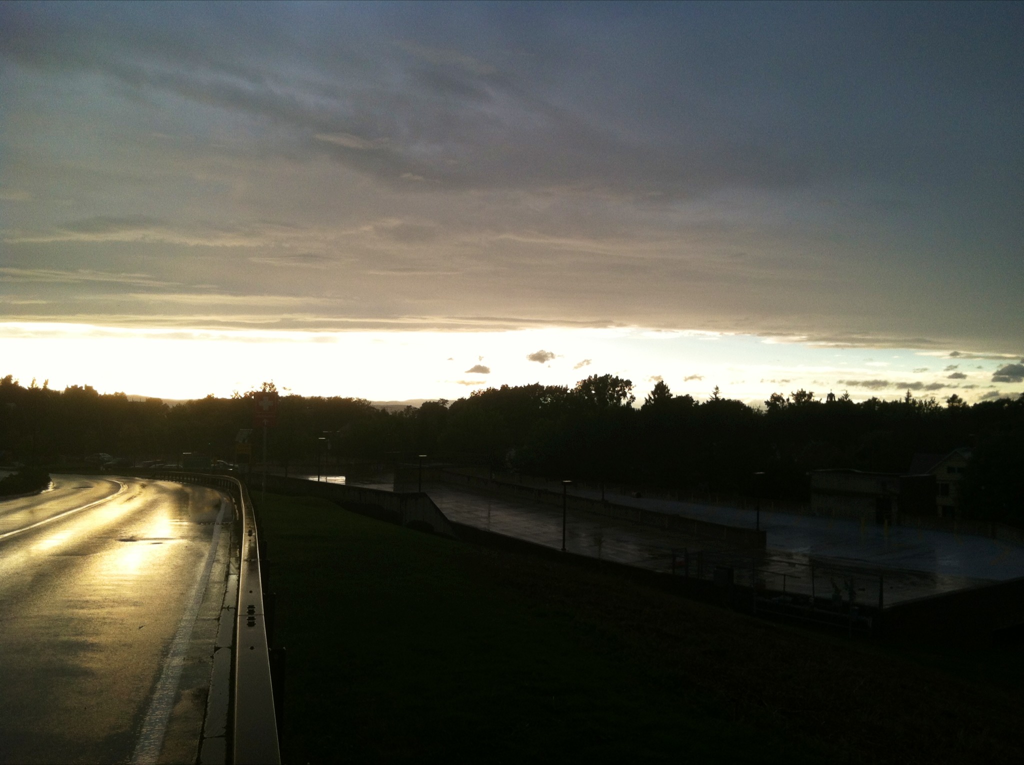
view from a bridge
TrackHead Studios - Lake Champlain
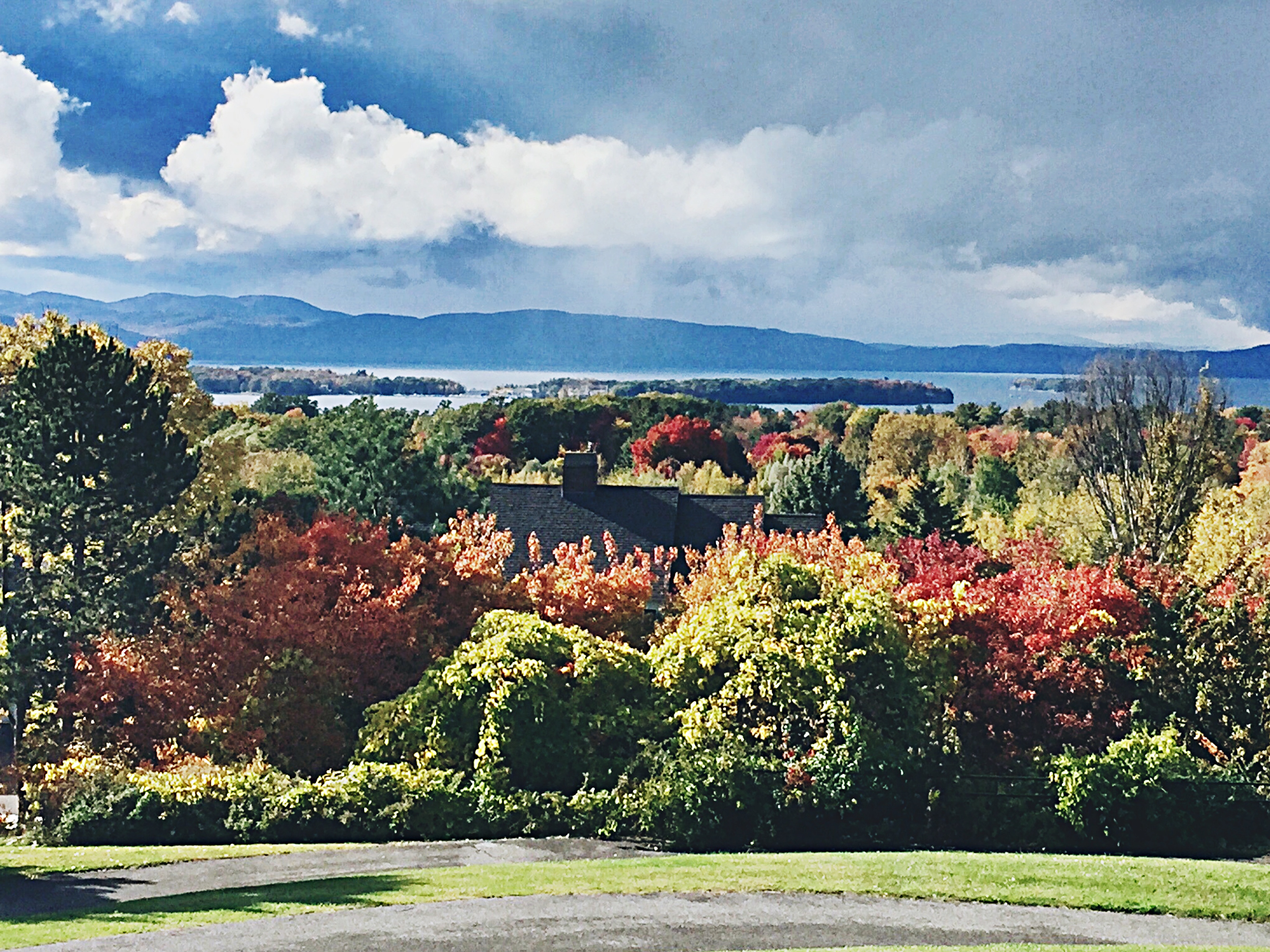
a view of the 'dacks
Fletcher Allen Health Care - Storm's End
The Leap
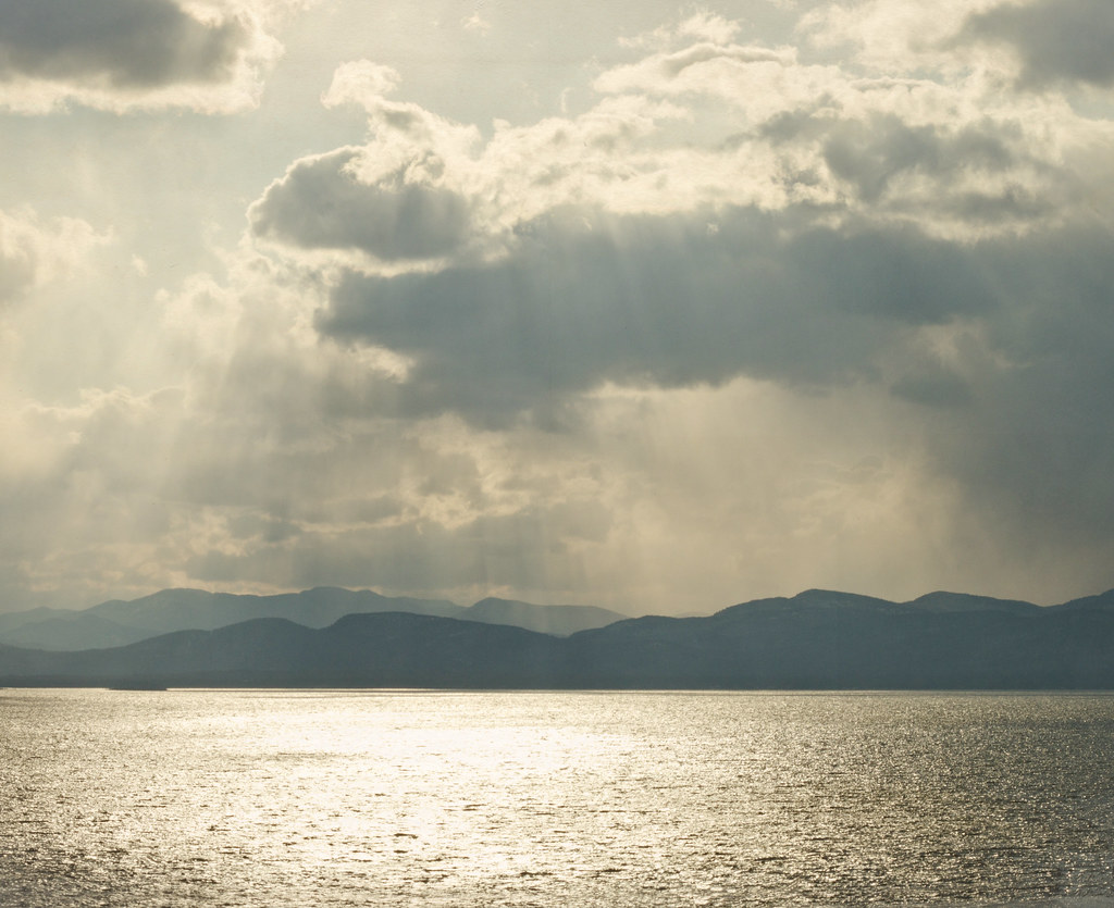
Lake Champlain
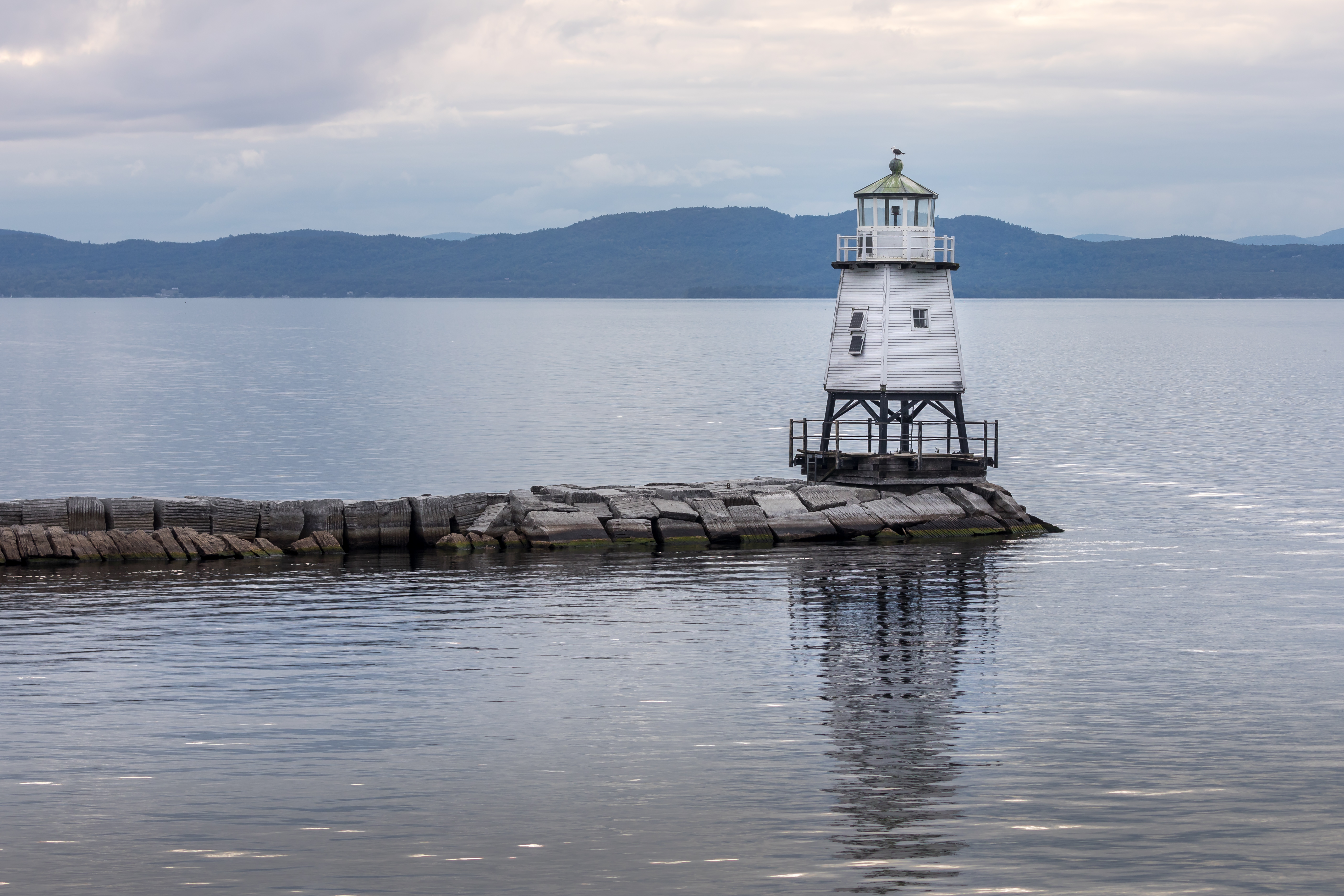
burlington harbor light
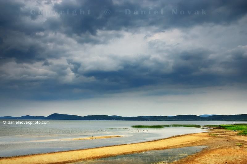
Summer Storm over Lake Champlain (DSH_5744)
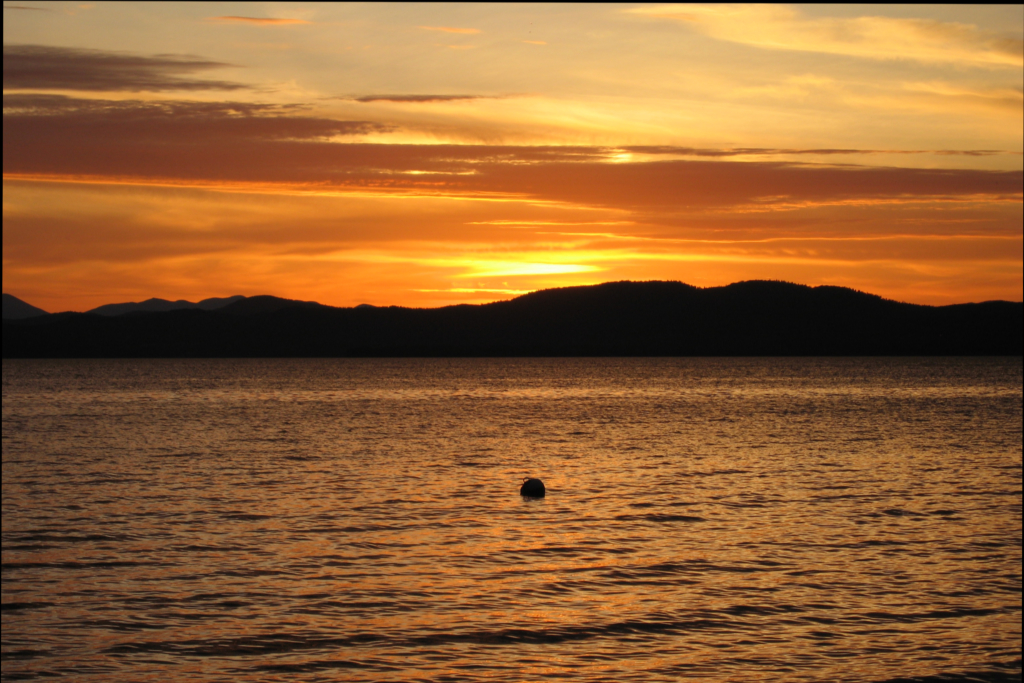
Vermont Sunset, Emmys Beach
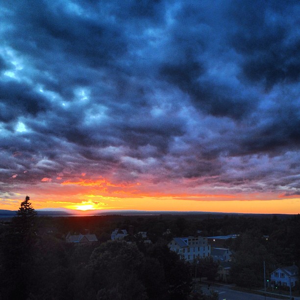
Burlington sunset. No filter, brightened only. #btv #burlington #vermont #vt #802 #fahc #sunset #cloud #clouds #sky #photo #landscape
Sunset #3757

Hole in the Sky
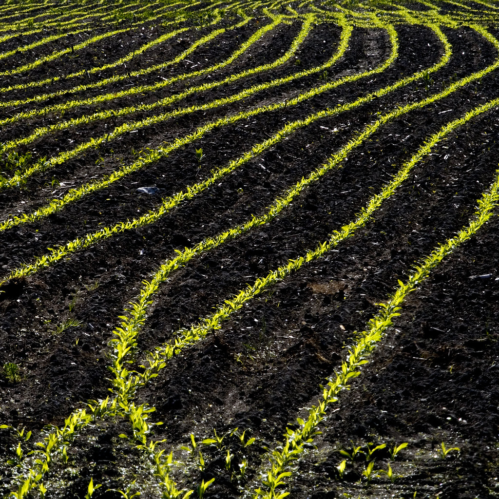
New Corn in the Morning Sun
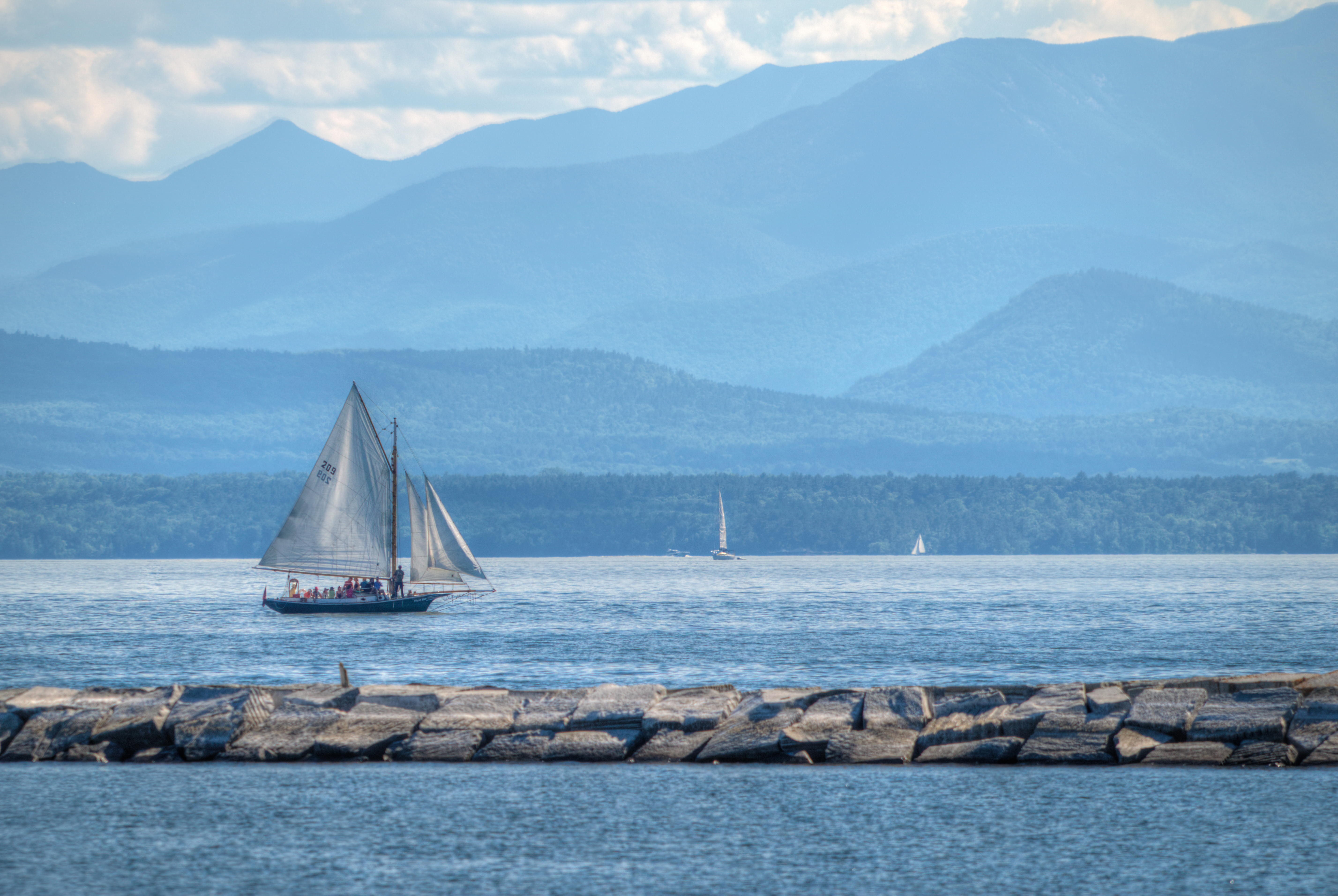
Sailing Lake Champlain
Burlington Sunrise
Adirondack Vista
Standing on Lake Champlain
low perspective

Adirondack sunset
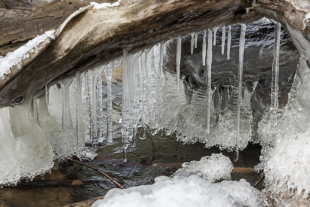
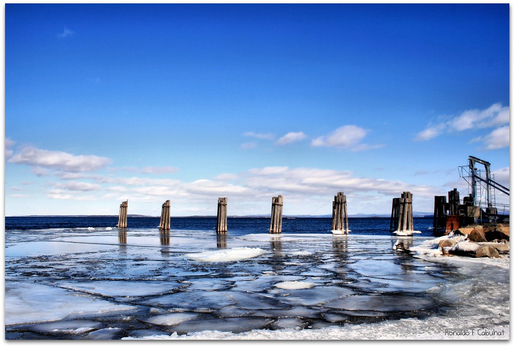
lake ice

Dali Re-enacted in 21st Century #landscape #artspaces #sculpturegarden
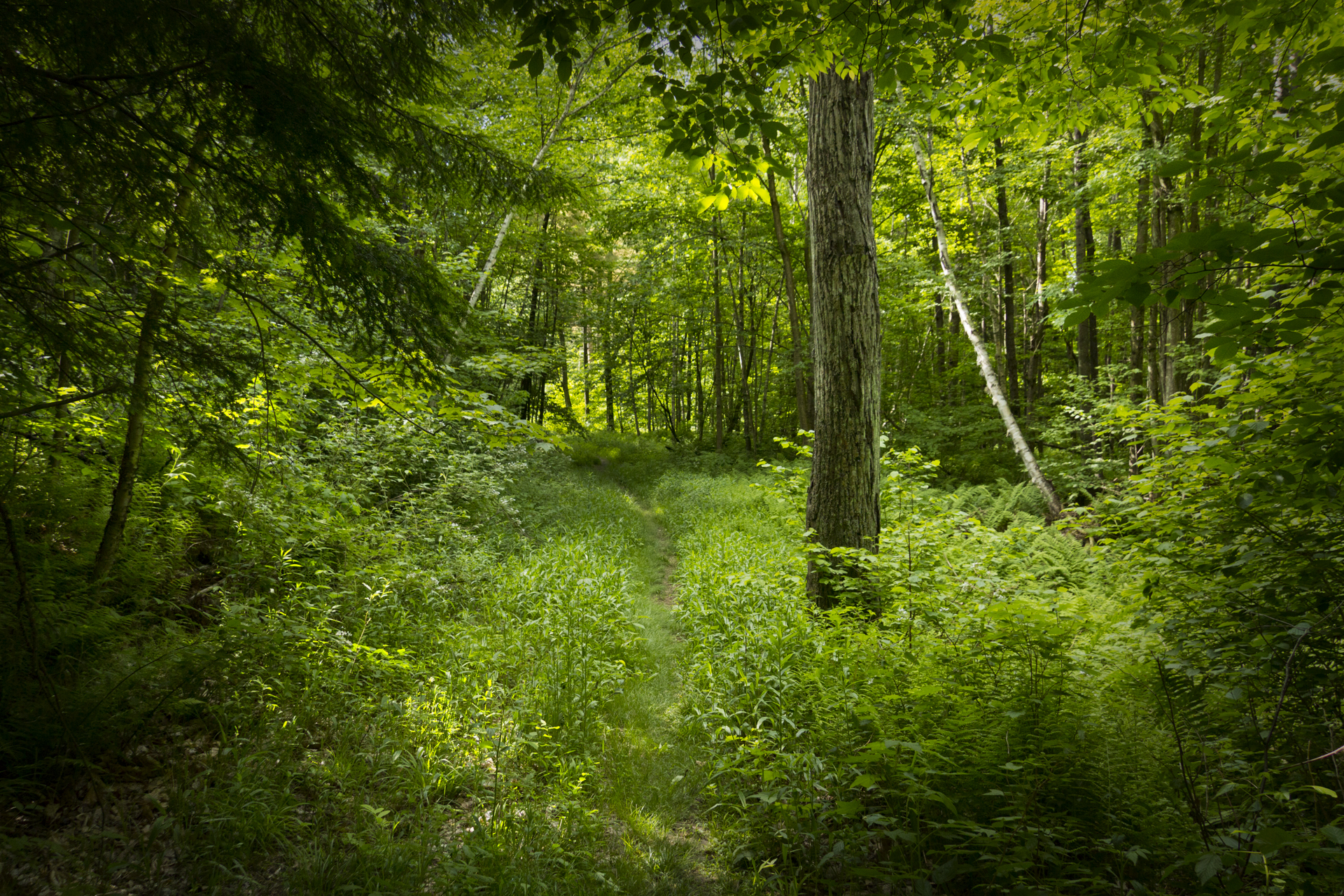
Deep Green Vermont
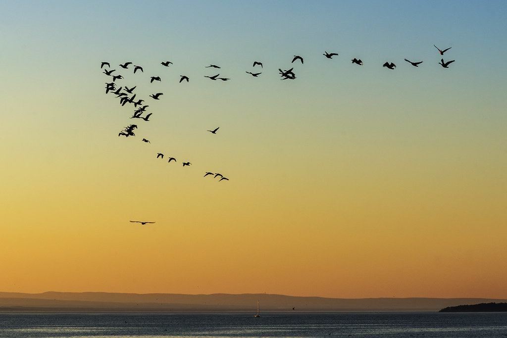
Flying South
Burlington, Vermont
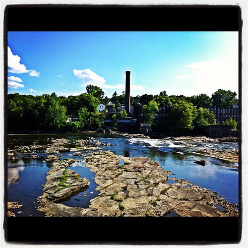
The Winooski Falls
Topographic Map of Rock Point Road, Rock Point Rd, Burlington, VT, USA
Find elevation by address:

Places near Rock Point Road, Rock Point Rd, Burlington, VT, USA:
Rock Point School
Unnamed Road
Lone Rock Point
New North End
32 Washington St
Old North End
Moran Plant
Battery Park
73 Sherman St
21 N Champlain St
2 Cherry St
1 College St
3 Pine St
165 Cumberland Rd
1 Lavalley Ln
North Street
1 Church St
259 Appletree Point Rd
185 Pearl St
189 Pearl St
Recent Searches:
- Elevation of Congressional Dr, Stevensville, MD, USA
- Elevation of Bellview Rd, McLean, VA, USA
- Elevation of Stage Island Rd, Chatham, MA, USA
- Elevation of Shibuya Scramble Crossing, 21 Udagawacho, Shibuya City, Tokyo -, Japan
- Elevation of Jadagoniai, Kaunas District Municipality, Lithuania
- Elevation of Pagonija rock, Kranto 7-oji g. 8"N, Kaunas, Lithuania
- Elevation of Co Rd 87, Jamestown, CO, USA
- Elevation of Tenjo, Cundinamarca, Colombia
- Elevation of Côte-des-Neiges, Montreal, QC H4A 3J6, Canada
- Elevation of Bobcat Dr, Helena, MT, USA