Elevation of Rock Creek Rd, Kelsey, CA, USA
Location: United States > California > El Dorado County > Kelsey >
Longitude: -120.80610
Latitude: 38.768559
Elevation: 412m / 1352feet
Barometric Pressure: 96KPa
Elevation Map:
Satellite Map:
Related Photos:

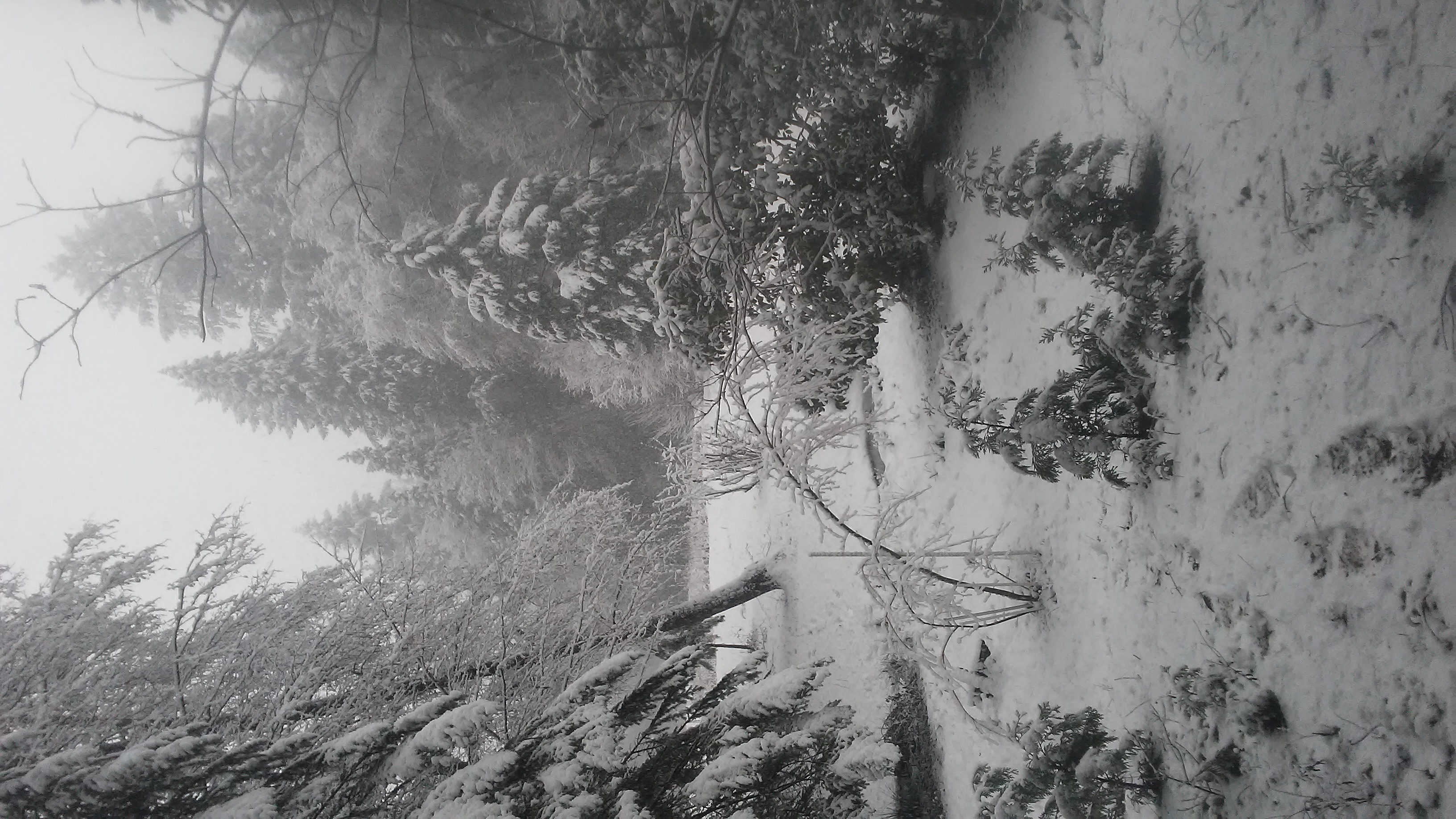
Road to the Clouds
Dark Thunderclouds

Thunderclouds Over the Crest
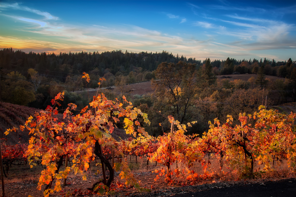
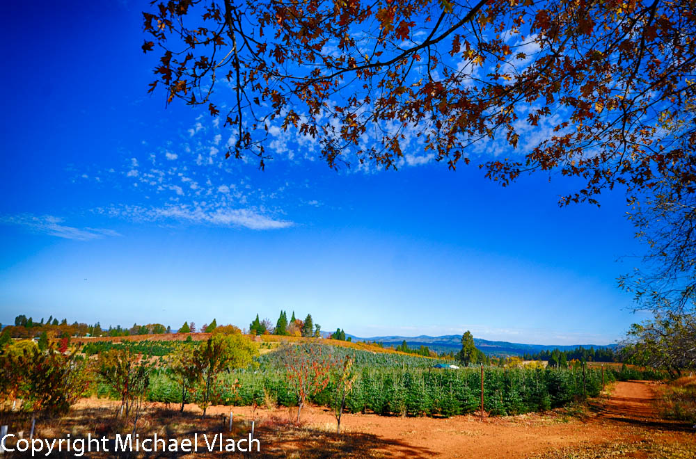
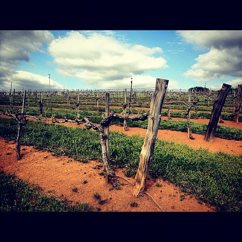
Sunset Vineyard

Robinson's Pharmacy
Oct-11-Apple Hill-4ps
Day 945: ElDorado_9950d
tri-color sky
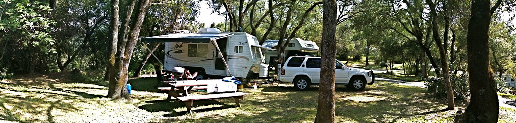
RV Camping..

Early Morning
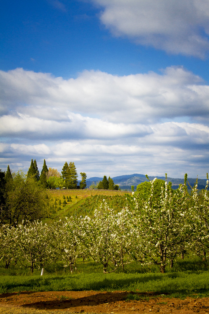
Pear Blossom spring
This place is a Thomas Kincaid Disney wedging cake vineyard with music coming out of rocks and plastic flowers galore with awesome views and vineyard
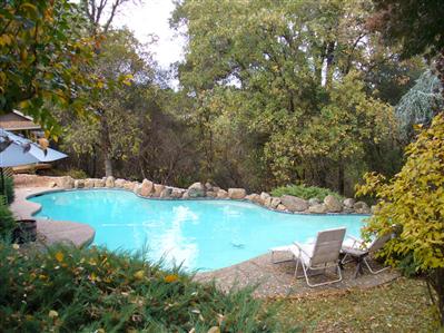
pool view
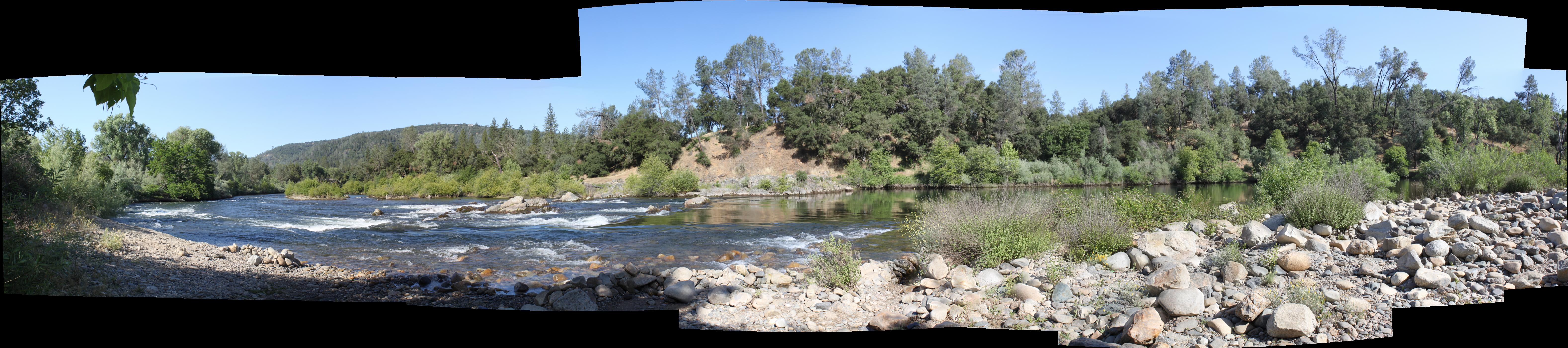
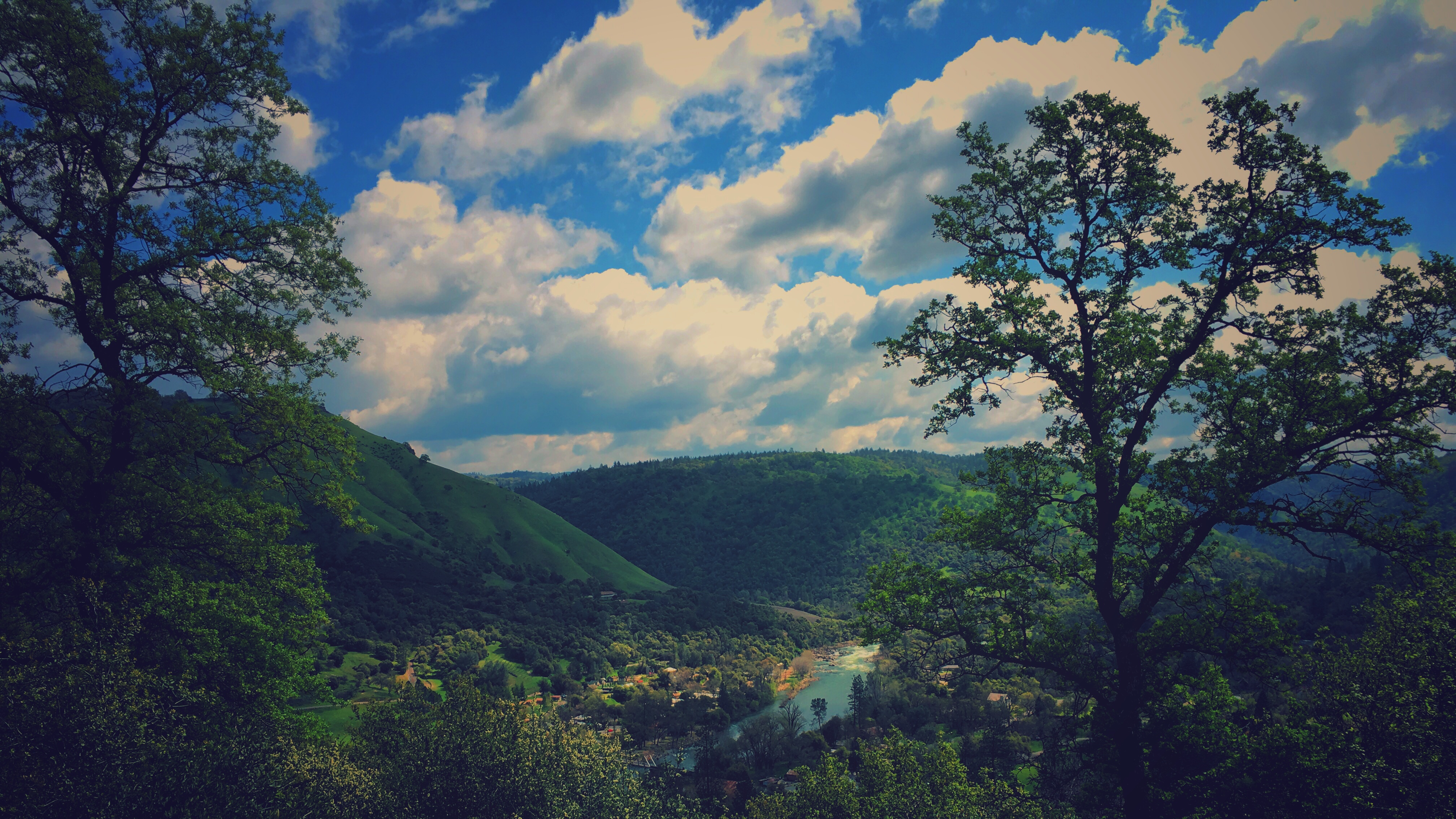
South Fork Panorama
View from James Marshal Monument. Marshal Gold Discovery State Historic Park. Coloma, California. December 20, 2012.

Oct-11-Apple Hill-7ps

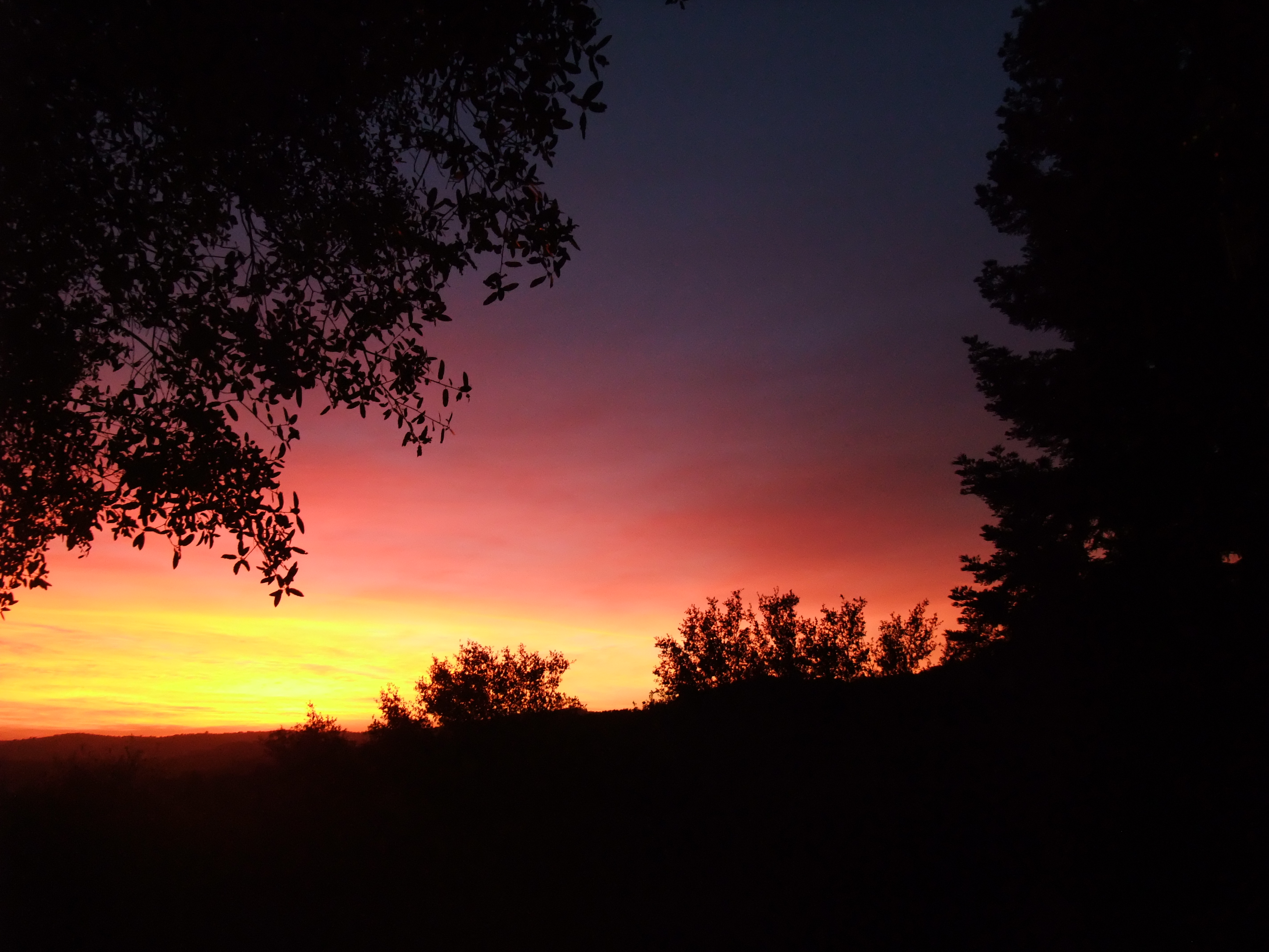
sunset last night
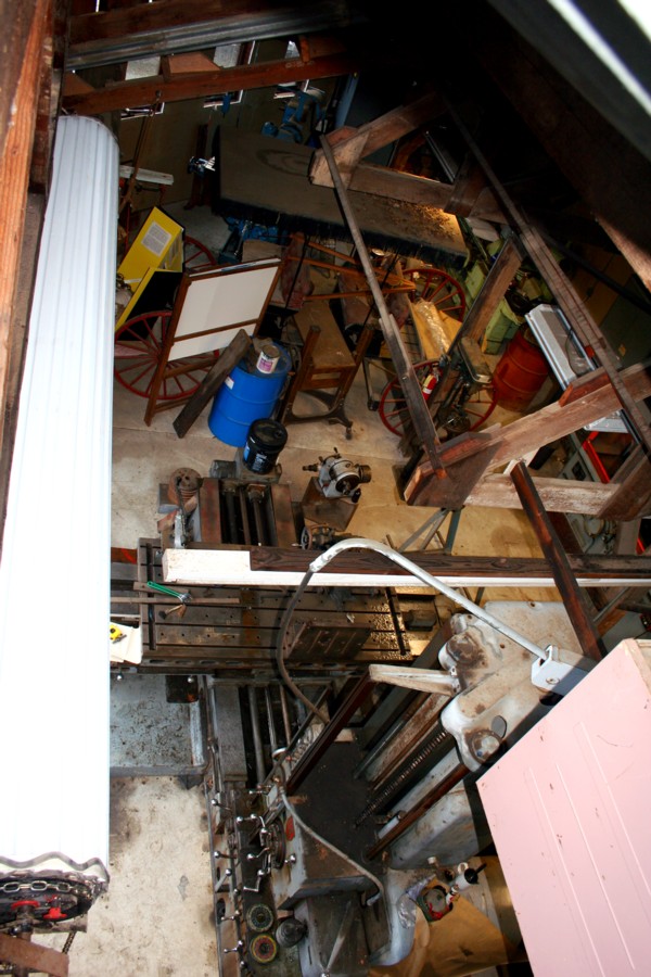
El Dorado Western machine shop
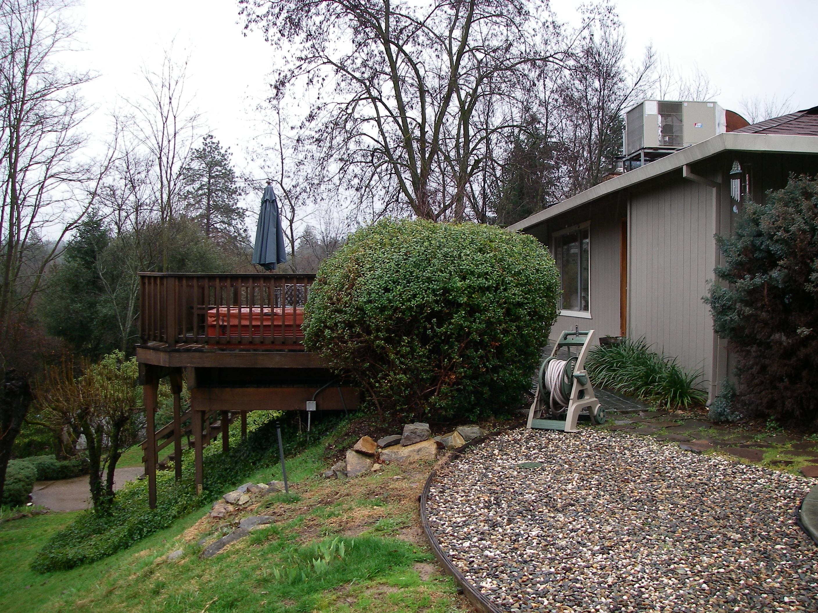
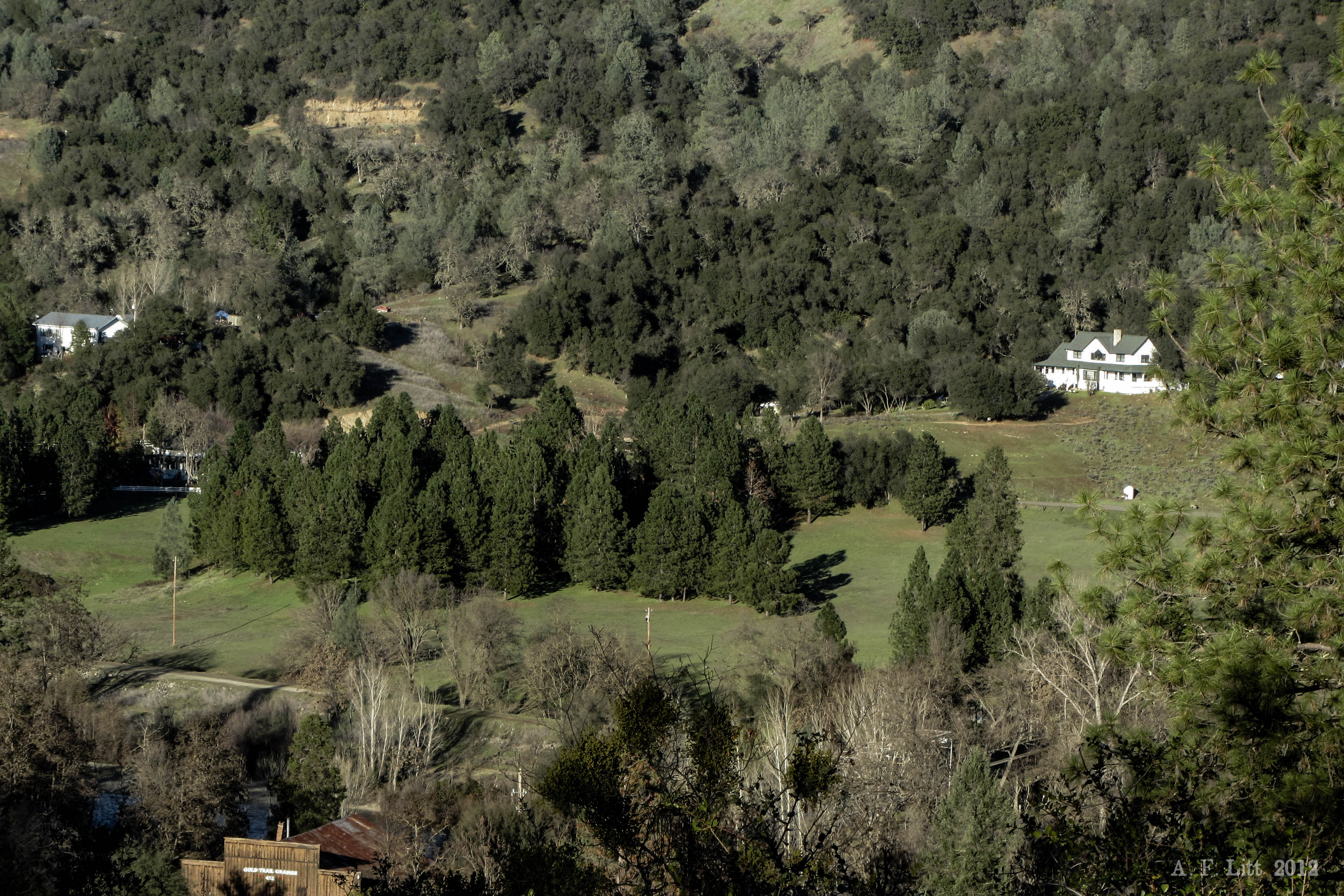
side yard view
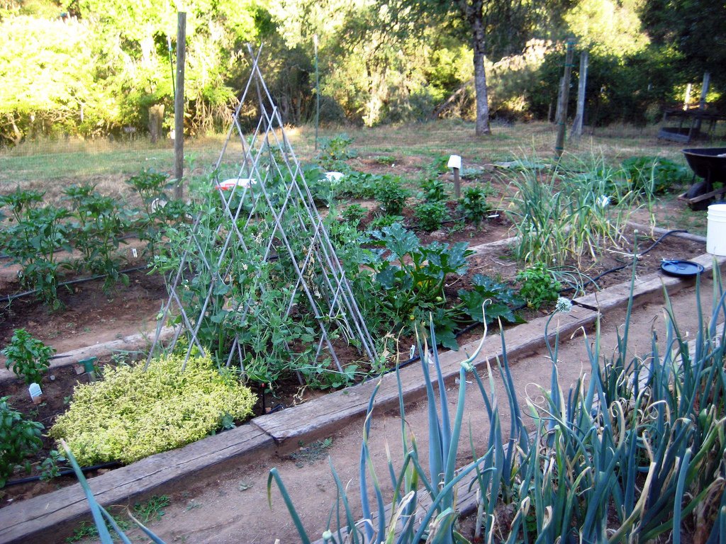
Another view of the July garden

The View

Hell in our backyard
Boeger Winery in the Fall
FRENCHTOWN FOREST GEM
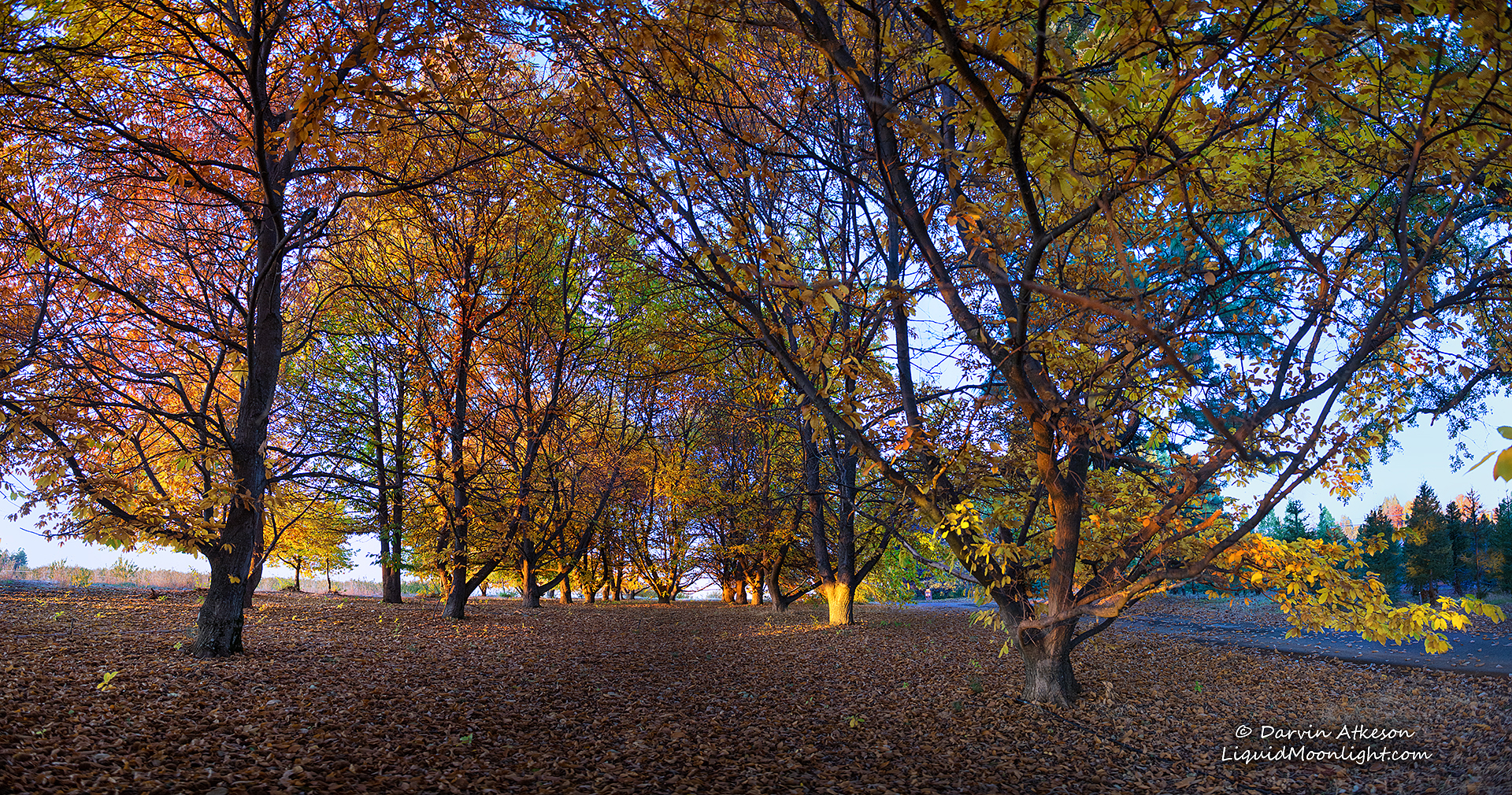
Chestnut Grove in Autumn Colors
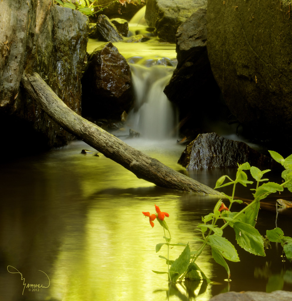
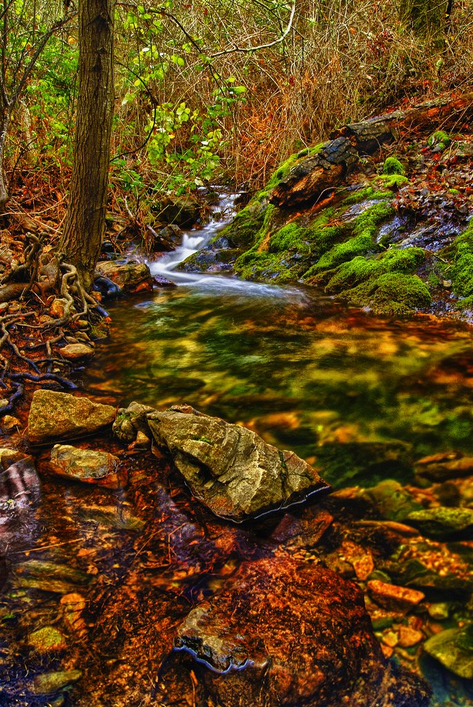
Iowa Creek

Morning on the river.
finding gold in the valley of Coloma
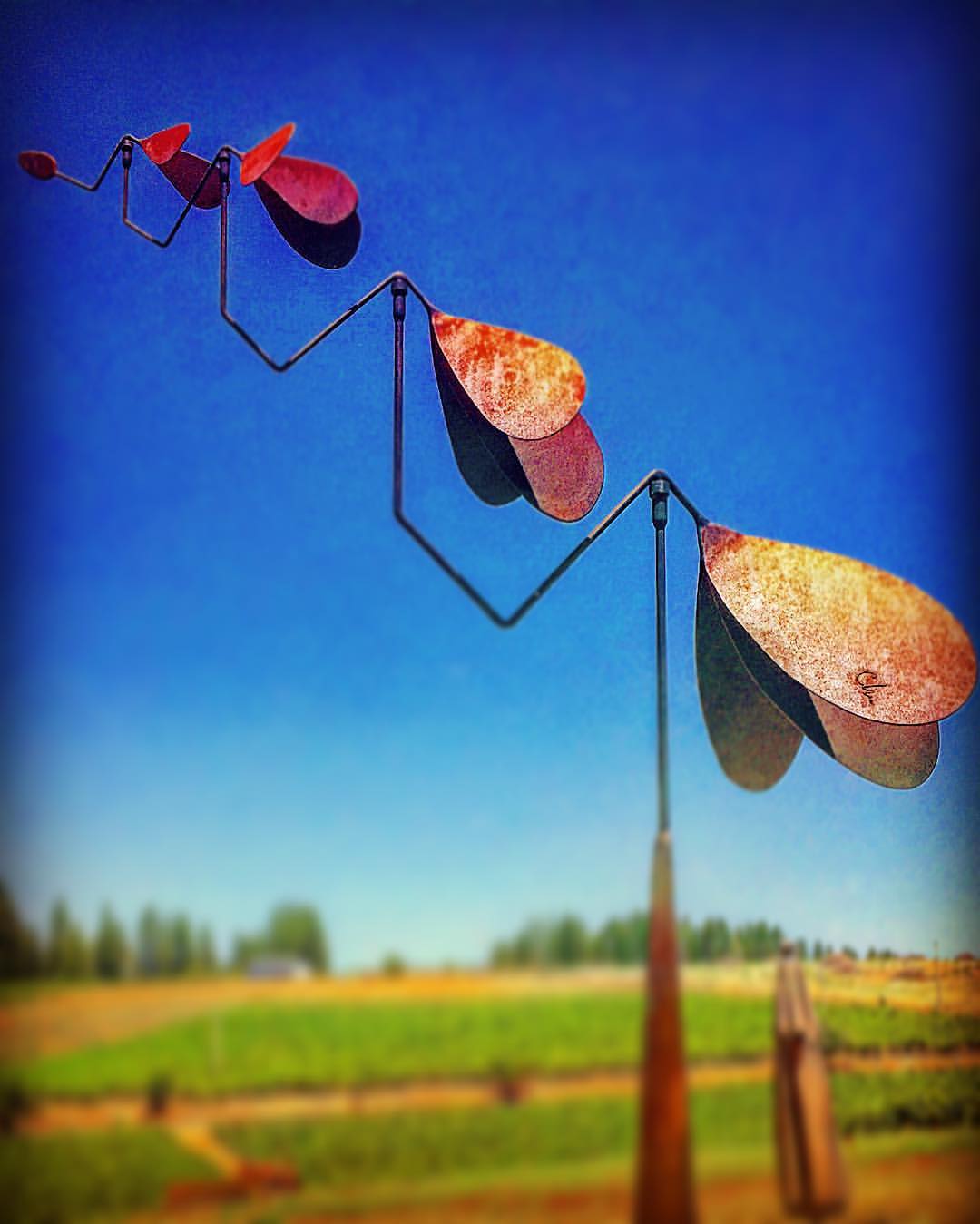
#lavacapwinery #sculpture #kinetic #scenic #landscape #art #photoart
Apple Hill

moss and mist
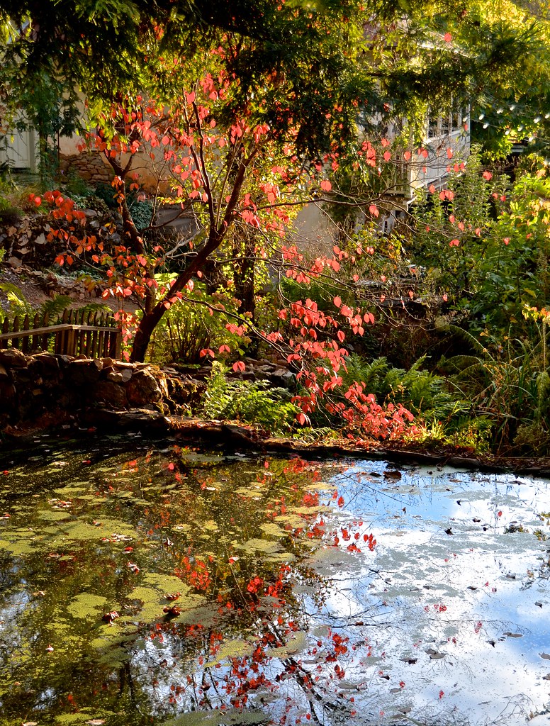
Boeger Winery pond
Forty Acres and a Mule
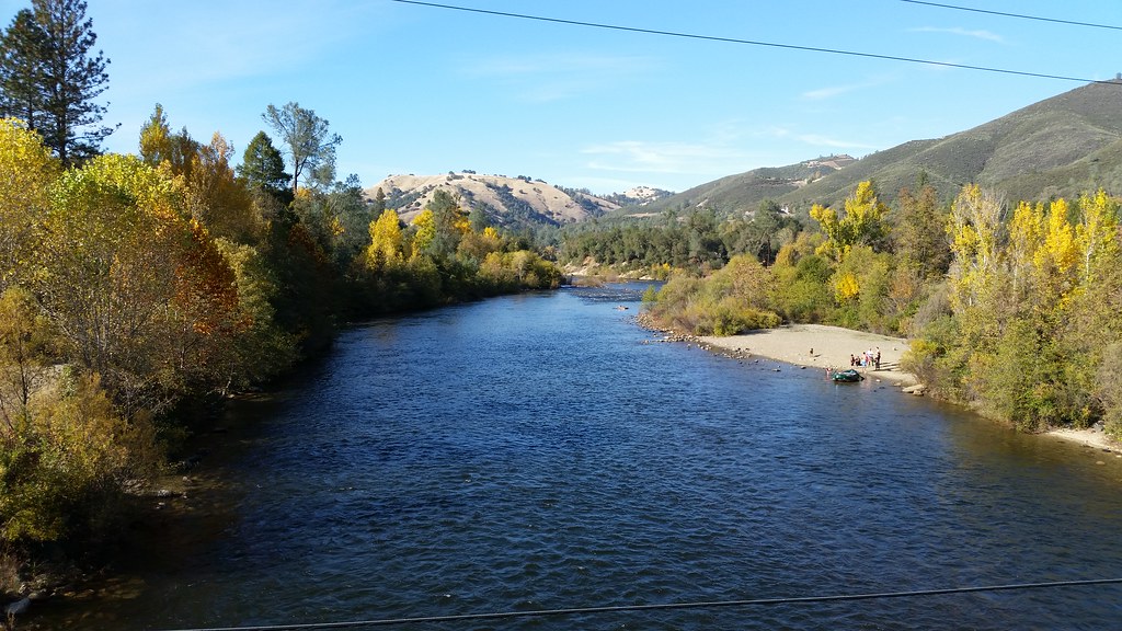
American River
Audubon Hills Camino CA.

#vineyard #landscape #sky #green #patterns #horizon
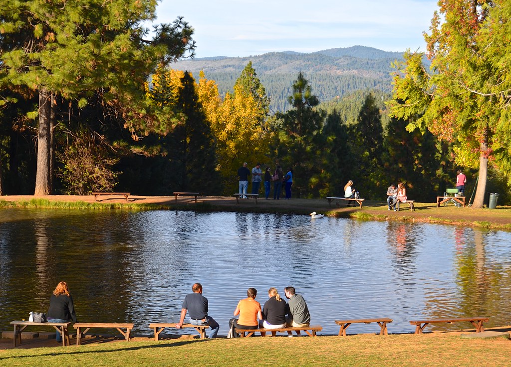
Fish Pond, High Hill
176914332093068299_12635620121230-21449-1pd3p6a
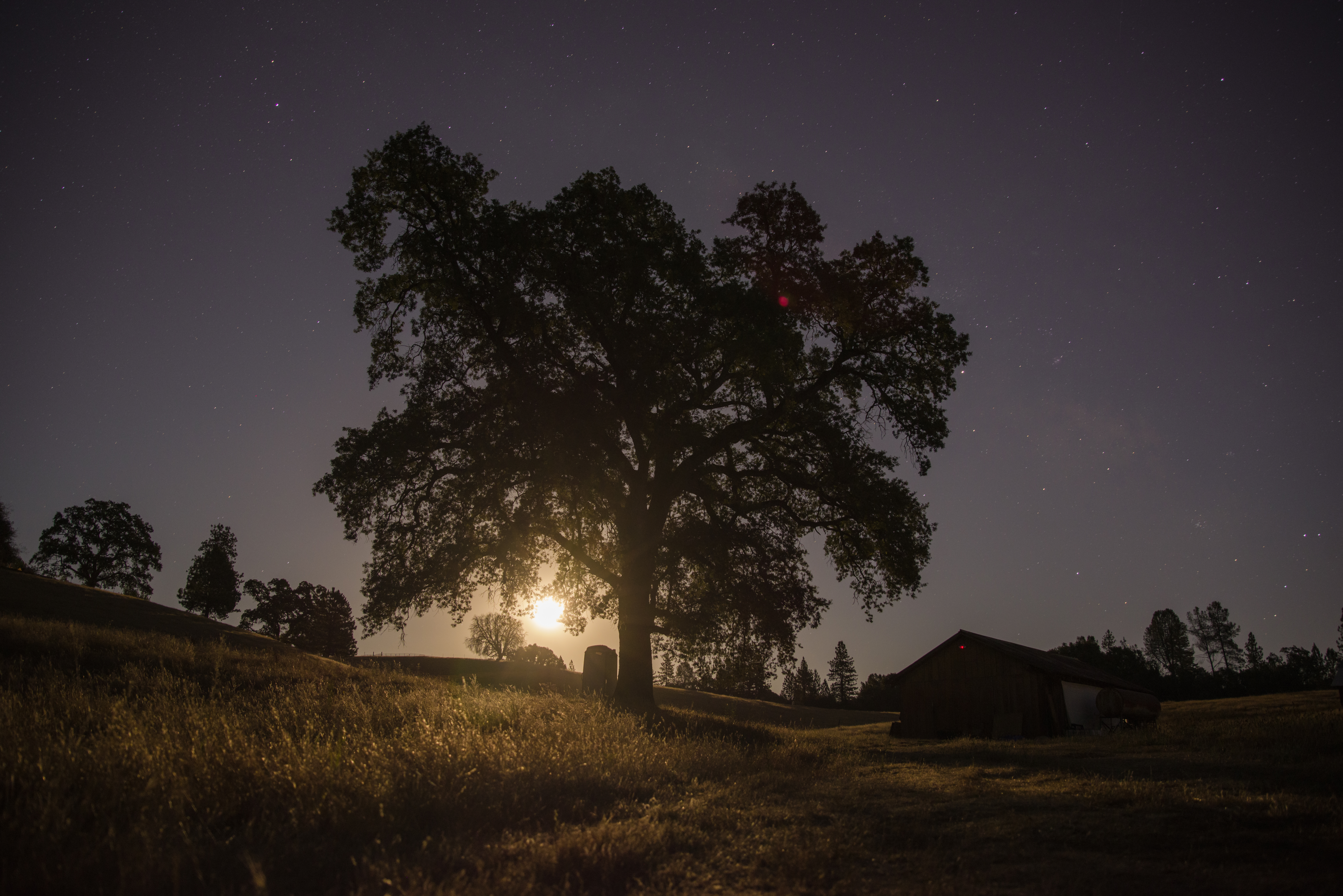
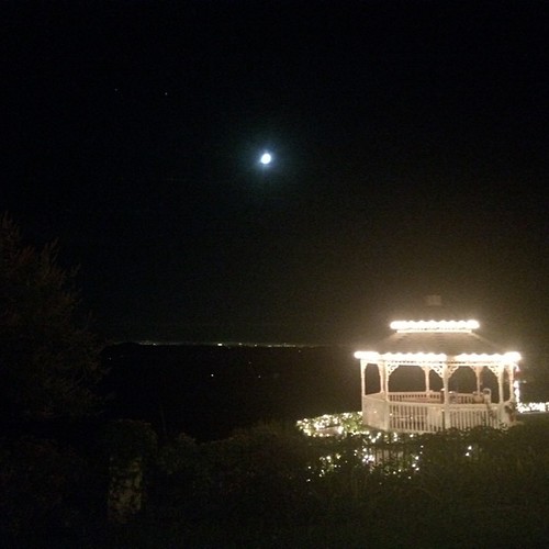
Midnight Moonrise

Perfect lil Christmas trees
Apple Fields
Topographic Map of Rock Creek Rd, Kelsey, CA, USA
Find elevation by address:

Places near Rock Creek Rd, Kelsey, CA, USA:
2000 Holland Dr
7900 Texas Canyon Rd E
3490 Parleys Canyon
Light Canyon Road
2405 Morrene Dr
1741 Tyrrel Ln
Emmerson Rd, Placerville, CA, USA
6500 Kelsey Canyon Rd
921 Oak Terrace Rd
920 Oak Terrace Rd
914 Oak Terrace Rd
169 Judy Dr
150 Diana St
150 Diana St
2813 Manor Dr
1620 Rose Ln
7036 Stewart Mine Rd
7036 Stewart Mine Rd
Kelsey
Georgetown Rd, Placerville, CA, USA
Recent Searches:
- Elevation of 3 Nestling Wood Dr, Long Valley, NJ, USA
- Elevation of Ilungu, Tanzania
- Elevation of Yellow Springs Road, Yellow Springs Rd, Chester Springs, PA, USA
- Elevation of Rēzekne Municipality, Latvia
- Elevation of Plikpūrmaļi, Vērēmi Parish, Rēzekne Municipality, LV-, Latvia
- Elevation of 2 Henschke Ct, Caboolture QLD, Australia
- Elevation of Redondo Ave, Long Beach, CA, USA
- Elevation of Sadovaya Ulitsa, 20, Rezh, Sverdlovskaya oblast', Russia
- Elevation of Ulitsa Kalinina, 79, Rezh, Sverdlovskaya oblast', Russia
- Elevation of 72-31 Metropolitan Ave, Middle Village, NY, USA