Elevation of Kelsey, CA, USA

Location: United States > California > El Dorado County >

Longitude: -120.82076

Latitude: 38.7987907

Elevation: 584m / 1916feet

Barometric Pressure: 94KPa

Elevation Map:

elevation map of Kelsey, CA, USA

Satellite Map:

Satellite map of Kelsey, CA, USA

Related Photos:

sign neonsign neon robinsonsdrugs rexall placerville 042017 nikon interesting
Robinson's Pharmacy
california trees northerncalifornia clouds edited pines sierranevada pinetrees thunderclouds oaktrees thunderstorms ponderosapines 25july2013
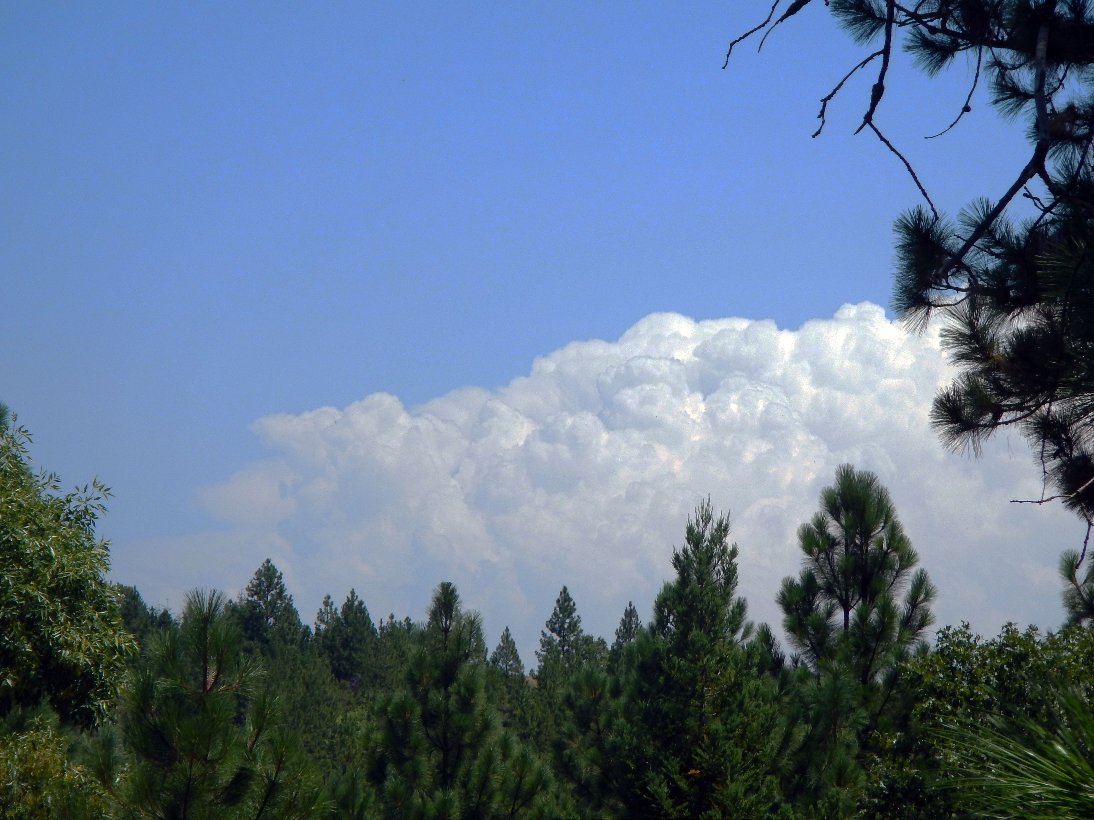
Thunderclouds Over the Crest
mountains foothills thunderclouds clouds road kelsey georgetown 25july2013 edited california northerncalifornia sierranevada highway193 chilebar hot
Road to the Clouds
california northerncalifornia dark edited pines thunderstorm grayscale sierranevada pinetrees thunderclouds ponderosapines 25july2013
Dark Thunderclouds
applehill karenschmautz sierraspringsphotography boavista fall autumn california camino pumpkins
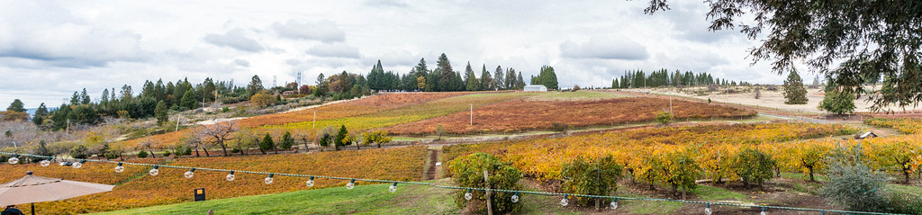
Views from Boa Vista in Apple Hill
Sunset Vineyard
sunset color fall vineyard winery placerville wtd boegerwinery obiewalks
Boeger Winery sunset view
sun fall camino openroad backroads iphone eldoradocounty applehill
Apple Hill in the Rear View Mirror
california ngc placerville applehill fallfestival 2011 supershot billsapples felicesdolls coth5
Oct-11-Apple Hill-4ps
camping riley arr trailer rv coloma suttersmill colomaca southforkoftheamericanriver americanriverresort 9682742
RV Camping..
fence project happy day el hills friday 1000 945 dorado hff
Day 945: ElDorado_9950d
statepark morning trees sky church nature forest gold town site claire cabin woods catholic unitedstates path sony ghost stjohns historic alpha dslr discovery daybreak coloma johnmarshall suttersmill calfornia toney wellpreserved sonya200 mygearandme mygearandmepremium ringexcellence clairetoney
Morning Services
railroad railway crew castiron shay locomotive placerville railfan eldoradocounty steamlocomotive shaylocomotive eldoradocountyhistoricalmuseum diamondandcaldor eldoradowestern eldoradowesternrailway logginglocomotive
Outside the barn
nikon d200 carshow 2010 nikond200 gardenvalley gardenvalleycarshow
GVCarShow-6
railroad railway steam shay restoration locomotive narrowgauge eldoradocounty steamlocomotive diamondandcaldor
Bending the eye bolt
railroad railway narrowgauge machineshop
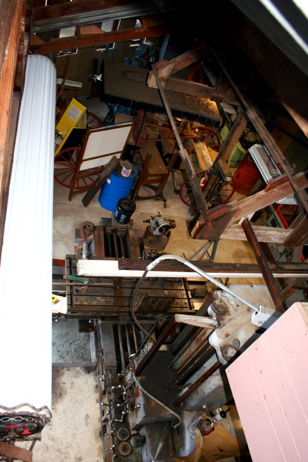
El Dorado Western machine shop
fallcolors tonypphotos d500 nevada nikon reno placerville california unitedstates us applehill winery outdoor
The view at Lava Cap Winery
california landscape scenery view roadtrip viewpoint coloma californiastatepark californiagoldrush sierrafoothills marshallgolddiscoveryshp
Marshall Gold Discovery State Historic Park
california unitedstates placerville
View from James Marshal Monument. Marshal Gold Discovery State Historic Park. Coloma, California. December 20, 2012.
california ca camping lotus
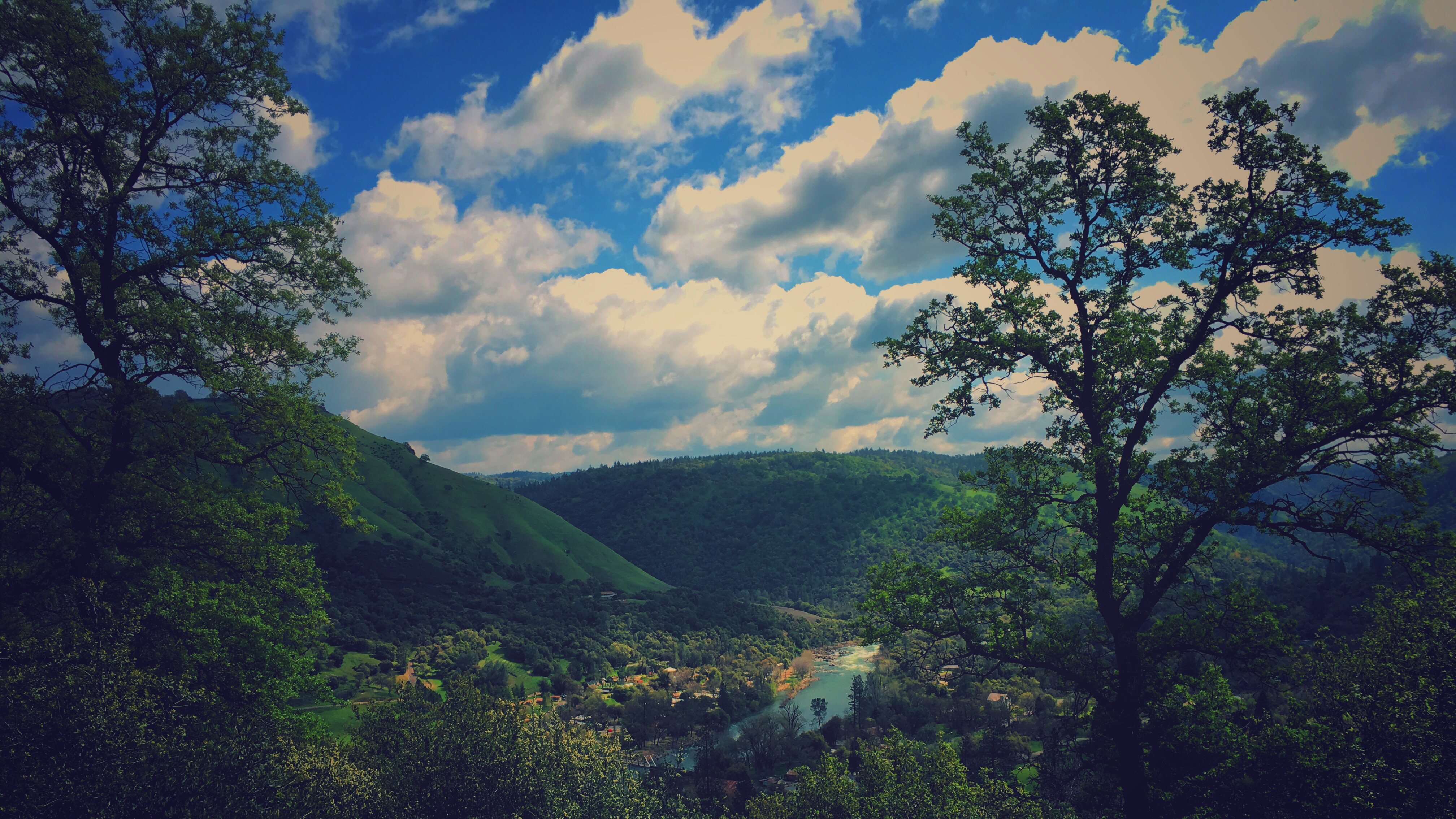
da river view from our campsite
laceknitting beadedknitting diamondfantasyshawl
Beaded Diamond Fantasy Shawl
california coloma
finding gold in the valley of Coloma
cloud northerncalifornia fire foliage placerville wildfire eldoradocounty pyrocumulus kingfire
Hell in our backyard
winter northerncalifornia coloma eldoradocounty sierranevadafoothills canon7d americanriversouthfork canon1585mmusmis lightroom4 topazsw
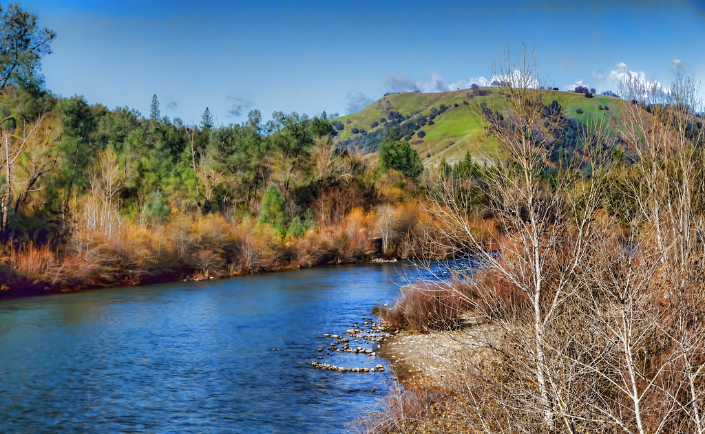
A Winter Morning Along the South Fork of the American River
mf tmy2 rodinal fuji gsw690iii coloma ca film analog
land of milk and honey
ca gold rush exploration 49er suttersmillcoloma
Sutter's Mill, Coloma, California Gold Rush Historic Site
2018 winter december christmasday camino eldorado canon 7d canon7dmarkii tamron tamron150600mm foothills sierra sierranevada carsonroad
These trees survived the season
tree water rock waterfall hiking hike coloma eldoradocounty dutchcreekwaterfall
Dutch Creek Waterfall
eldoradocounty california goldrush americanriver
South Fork of the American River at Sutter's Fort, Coloma, California
california road field northerncalifornia rural historic highway49
Highway 49, California
california park ca rock bug gold mine hard historic placerville goldrush goldbug
gold bug mine ore cart tracks, Placerville, California
california road bridge landscape scenery roadtrip americanriver coloma sierrafoothills mtmurphyroadbridge
Coloma, California
california tahoe laketahoe sierra sierras sierranevadas sierranevadamountains
South Fork of the American River at Sutter's Fort, Coloma, California
california hot northerncalifornia river edited grade canyon hdr americanriver invasiveweed starthistle yellowstarthistle southforkamericanriver highway193 chilebar 25july2013 chilebargrade
South Fork American River at the Chile Bar, 1
goldcountry autum leaves 365 2017
moss and mist
landscape eldoradocounty applehill
Apple Hill
ranch northerncalifornia coloma eldoradocounty highway49 ranchland canong11 lightroom4 topazsw
Forty Acres and a Mule
elements
Perfect lil Christmas trees
sunset color fall vineyard day winery clear placerville wtd boegerwinery obiewalks pwfall
Boeger Winery in the Fall
california history river landscape scenery roadtrip americanriver coloma californiastatepark californiagoldrush sierrafoothills marshallgolddiscoveryshp
Marshall Gold Discovery State Historic Park
placerville california unitedstates us photo americanriver southforkoftheamericanriver cfs raft whitewater gorgerun gorge satanscesspool hospitalbar coloma
DSCN2433.jpg