Elevation of Robertson County, TN, USA
Location: United States > Tennessee >
Longitude: -86.862182
Latitude: 36.5250666
Elevation: 192m / 630feet
Barometric Pressure: 99KPa
Elevation Map:
Satellite Map:
Related Photos:

Abandoned store - Cedar Hill, Tennessee (this image may go "poof" tomorrow... lol)

Another day tied down...
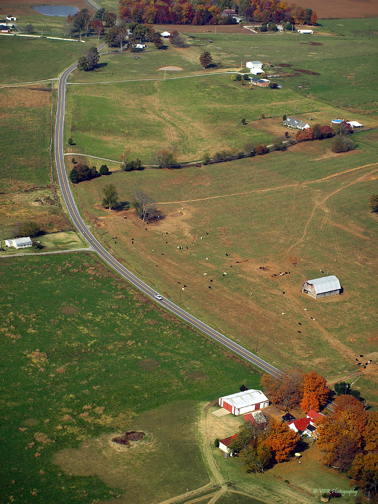
Barren Plains Road (TN25) - Robertson County, Tennessee
1-5-2007-10
1-5-2007-11

Robertson County, TN Courthouse - Springfield, TN
1-5-2007-12

View of the front of the house
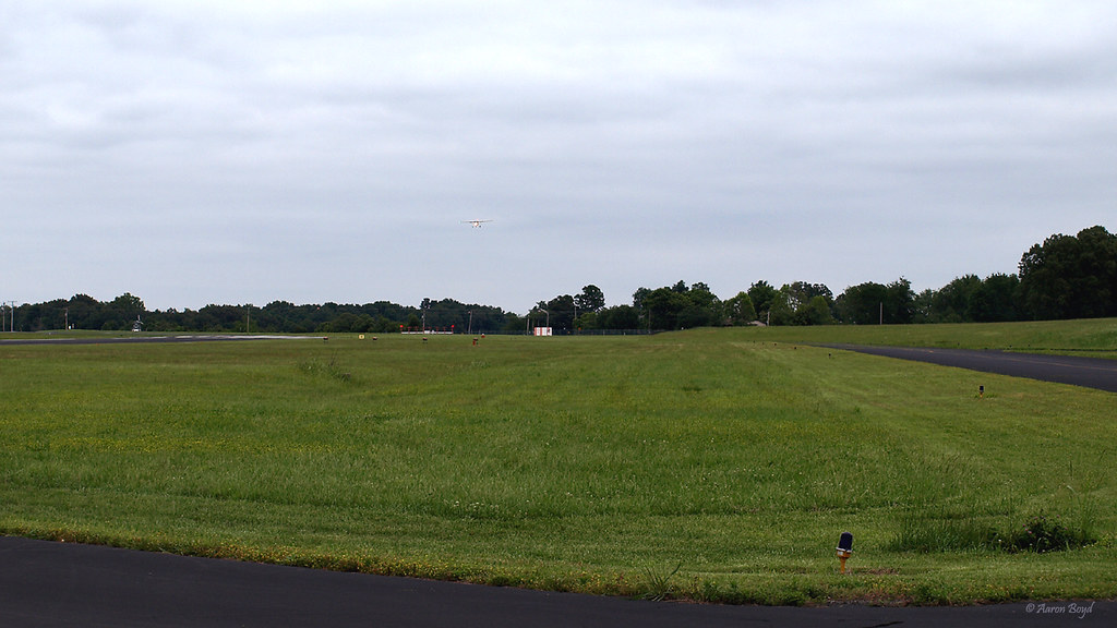
My first solo flight (photo courtesy of Aaron Boyd)

The New Year Begins

My first solo flight (photo courtesy of Aaron Boyd)
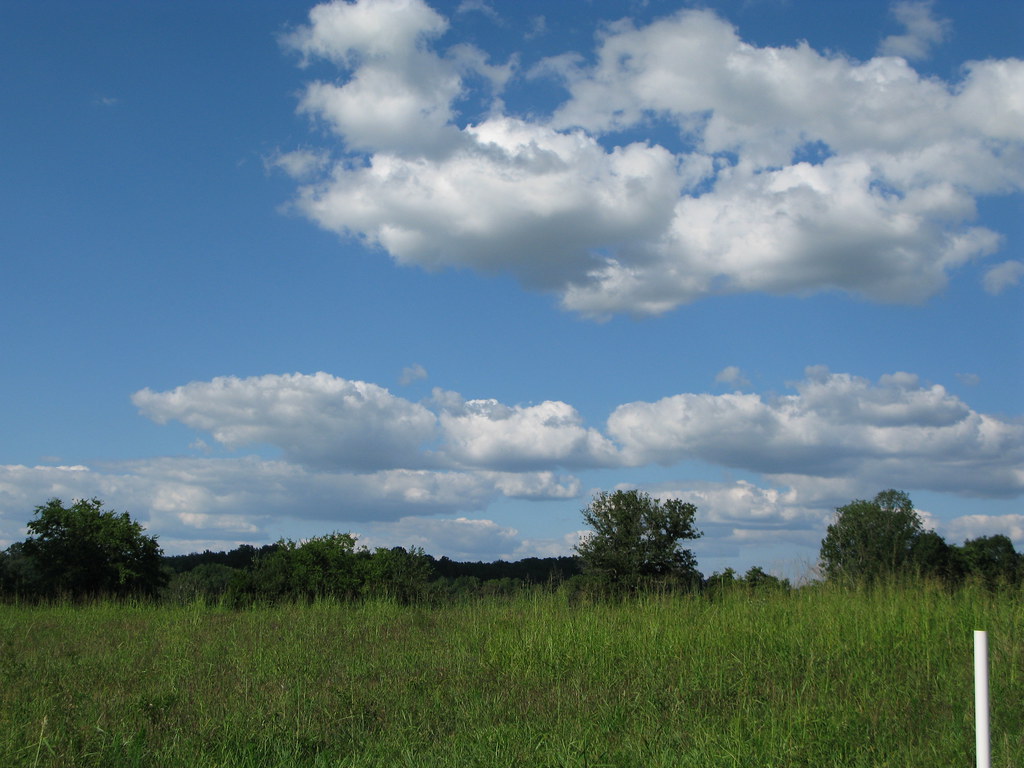
A Beautiful Springfield Sky
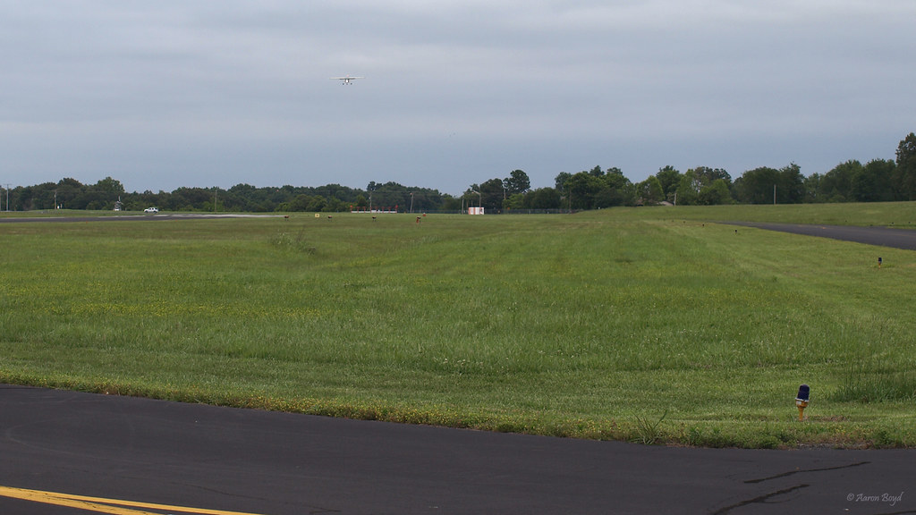
My first solo flight (photo courtesy of Aaron Boyd)

Scissor-Tailed Flycatcher

20141130-300946-Edit

Growing Old

20140927-9270958_tonemapped.jpg

Tennessee Canola

#Sunset through the #Rain

Crash My Party
Topographic Map of Robertson County, TN, USA
Find elevation by address:

Places in Robertson County, TN, USA:
Places near Robertson County, TN, USA:
4269 Us-431
Lakeshore Dr, Springfield, TN, USA
Springfield
604 3rd Ave W
112 Golf Club Ln
208 Blackpatch Dr
616 Fairway Trail
304 Champion Dr
3080 New Cut Rd
4009 Sawney Dr
3579 Kinneys Rd
Coopertown
Cedar Hill
4040 Ironwood Dr
Will Teasley Rd, Cedar Hill, TN, USA
3060 Tn-49
Gause Rd, Pleasant View, TN, USA
Pleasant View
Tennessee 76
1673 Mosley Ferry Rd
Recent Searches:
- Elevation of Corso Fratelli Cairoli, 35, Macerata MC, Italy
- Elevation of Tallevast Rd, Sarasota, FL, USA
- Elevation of 4th St E, Sonoma, CA, USA
- Elevation of Black Hollow Rd, Pennsdale, PA, USA
- Elevation of Oakland Ave, Williamsport, PA, USA
- Elevation of Pedrógão Grande, Portugal
- Elevation of Klee Dr, Martinsburg, WV, USA
- Elevation of Via Roma, Pieranica CR, Italy
- Elevation of Tavkvetili Mountain, Georgia
- Elevation of Hartfords Bluff Cir, Mt Pleasant, SC, USA