Elevation of Coopertown, TN, USA
Location: United States > Tennessee > Robertson County >
Longitude: -86.967222
Latitude: 36.4375478
Elevation: 222m / 728feet
Barometric Pressure: 99KPa
Elevation Map:
Satellite Map:
Related Photos:

Robertson County, TN Courthouse - Springfield, TN

Abandoned store - Cedar Hill, Tennessee (this image may go "poof" tomorrow... lol)

Another day tied down...

Mystery Windmill
Pleasant View Village 3
Pleasant View Village 4

Exit for Ashland City
Entering Pleasant View

View of the front of the house
Pleasant View Village 2

Pleasant View Village 1
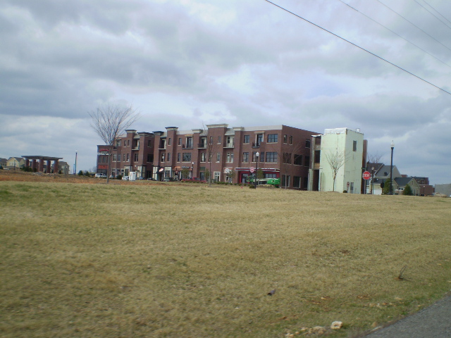
Pleasant View Village 5

Master Bedroom Views (window)

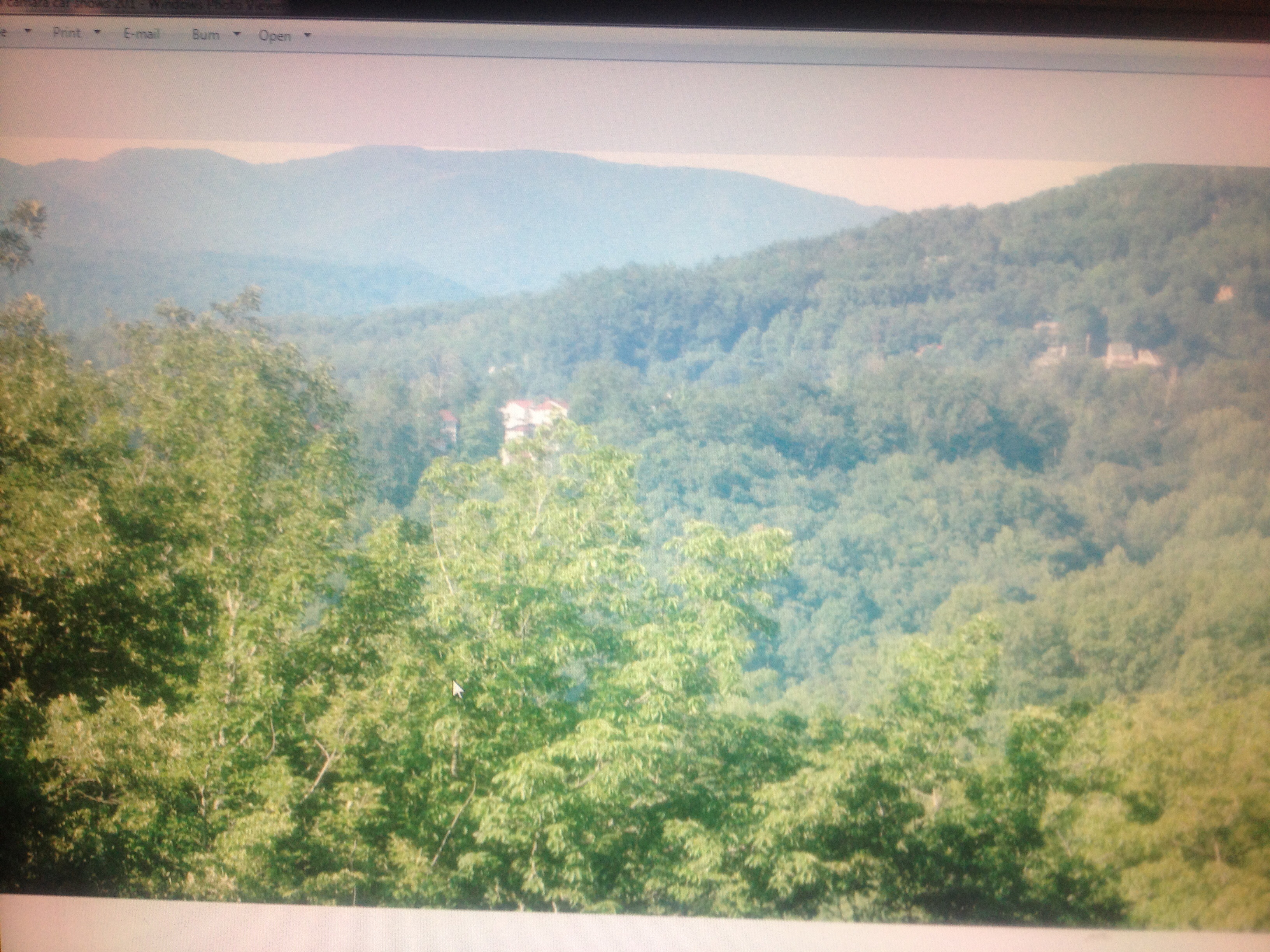
Awesome Wildlife/Nature Views 365 Degrees

Senior Circle Crossroads Community May 2015

View from Master Bath to Entry to Kitchen/Dining room
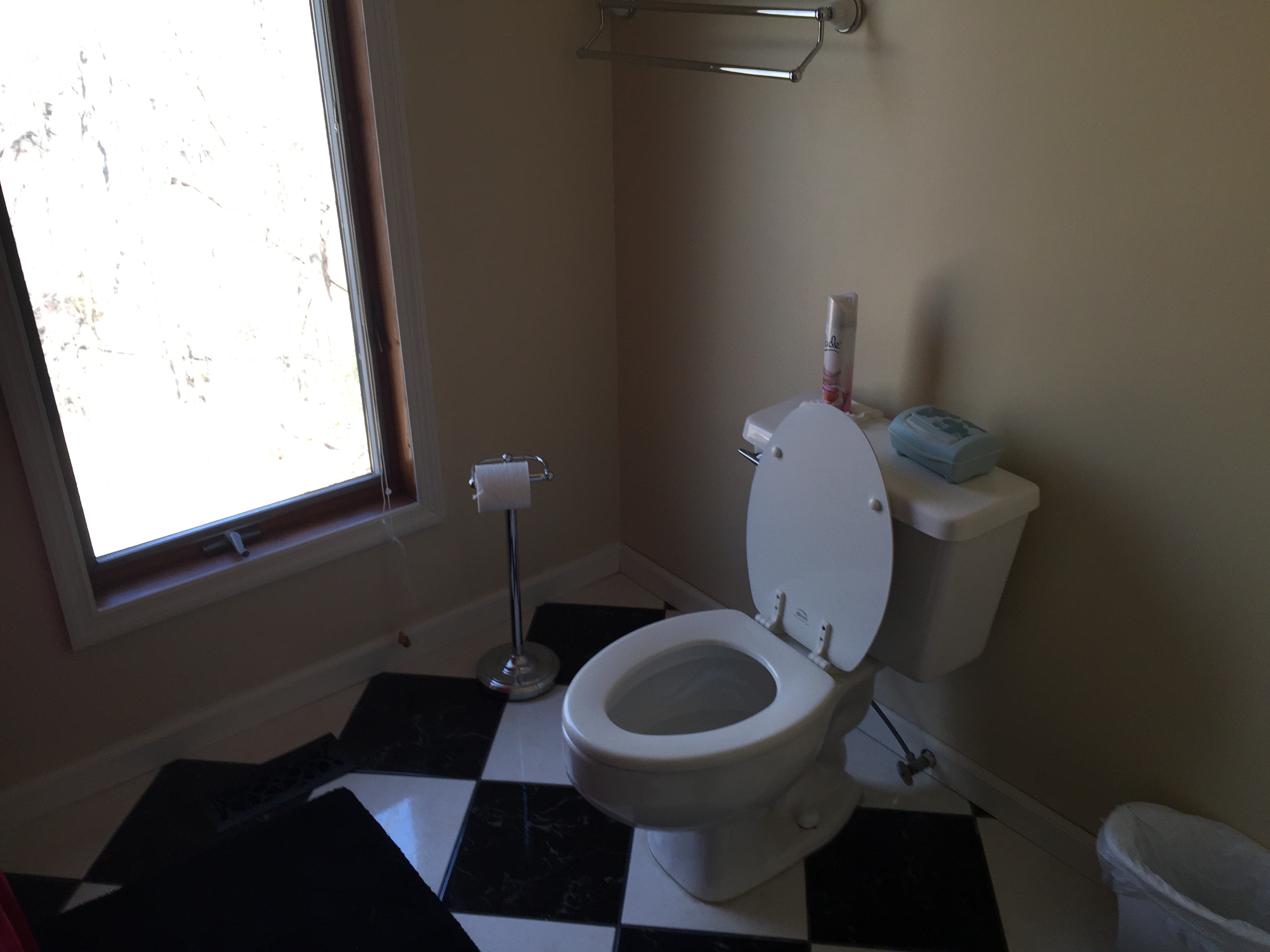
Master Bath Toilet - Nice View Outside

Fall Sunset

Crash My Party
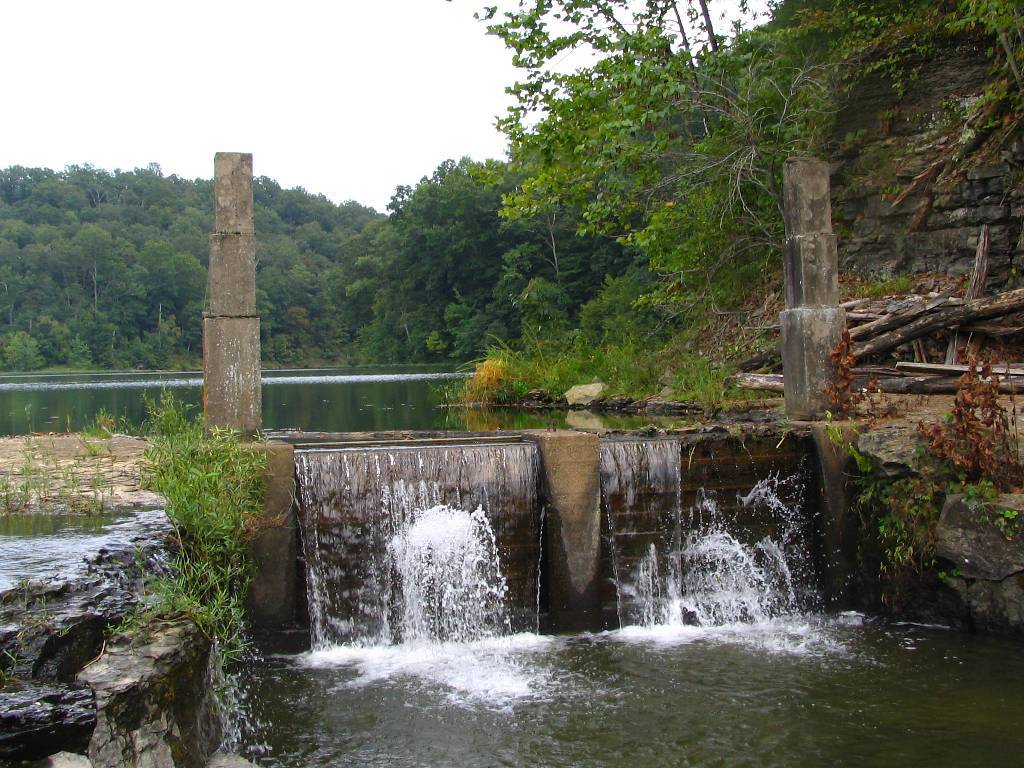
Marrowbone Lake Dam
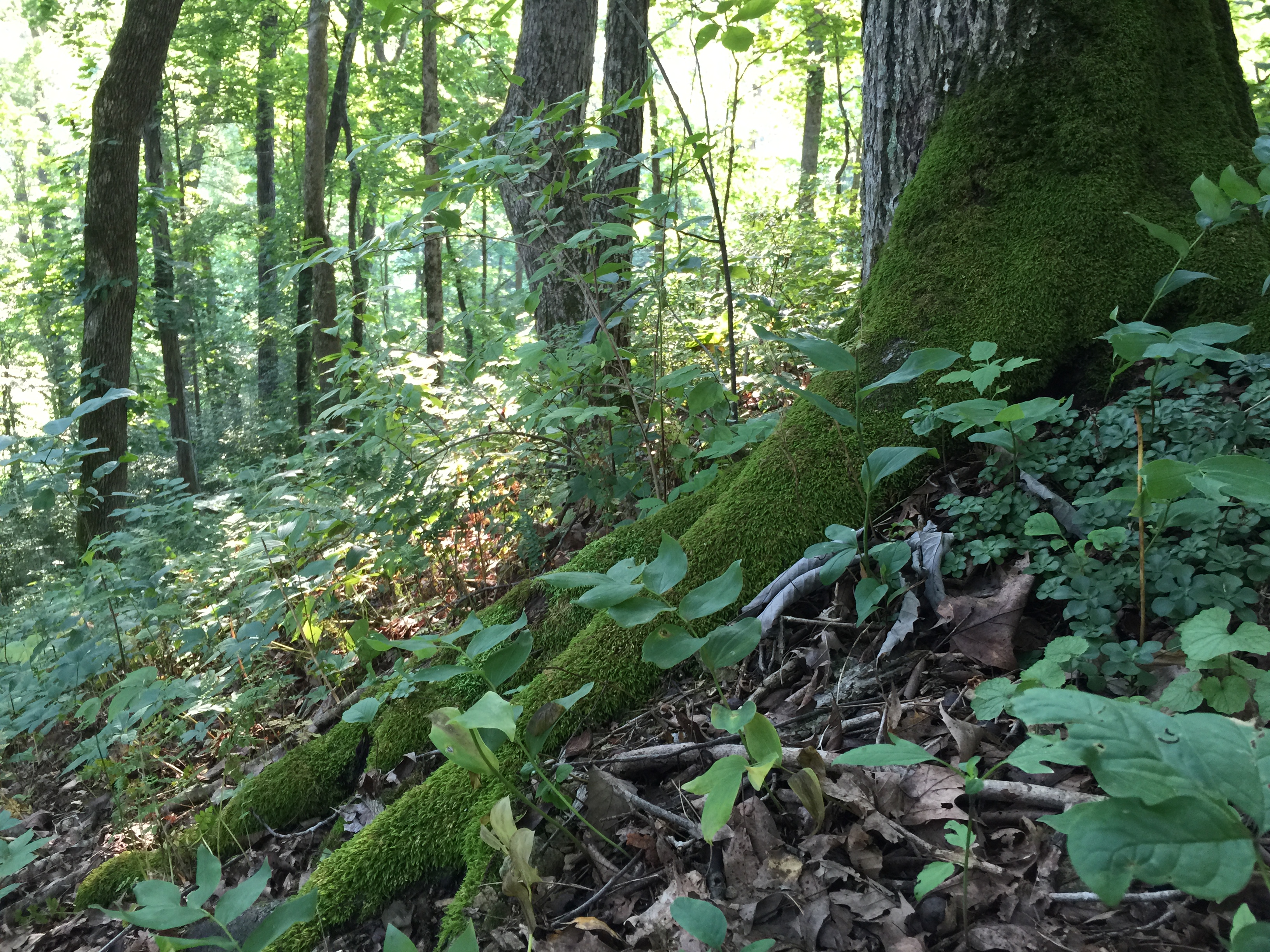
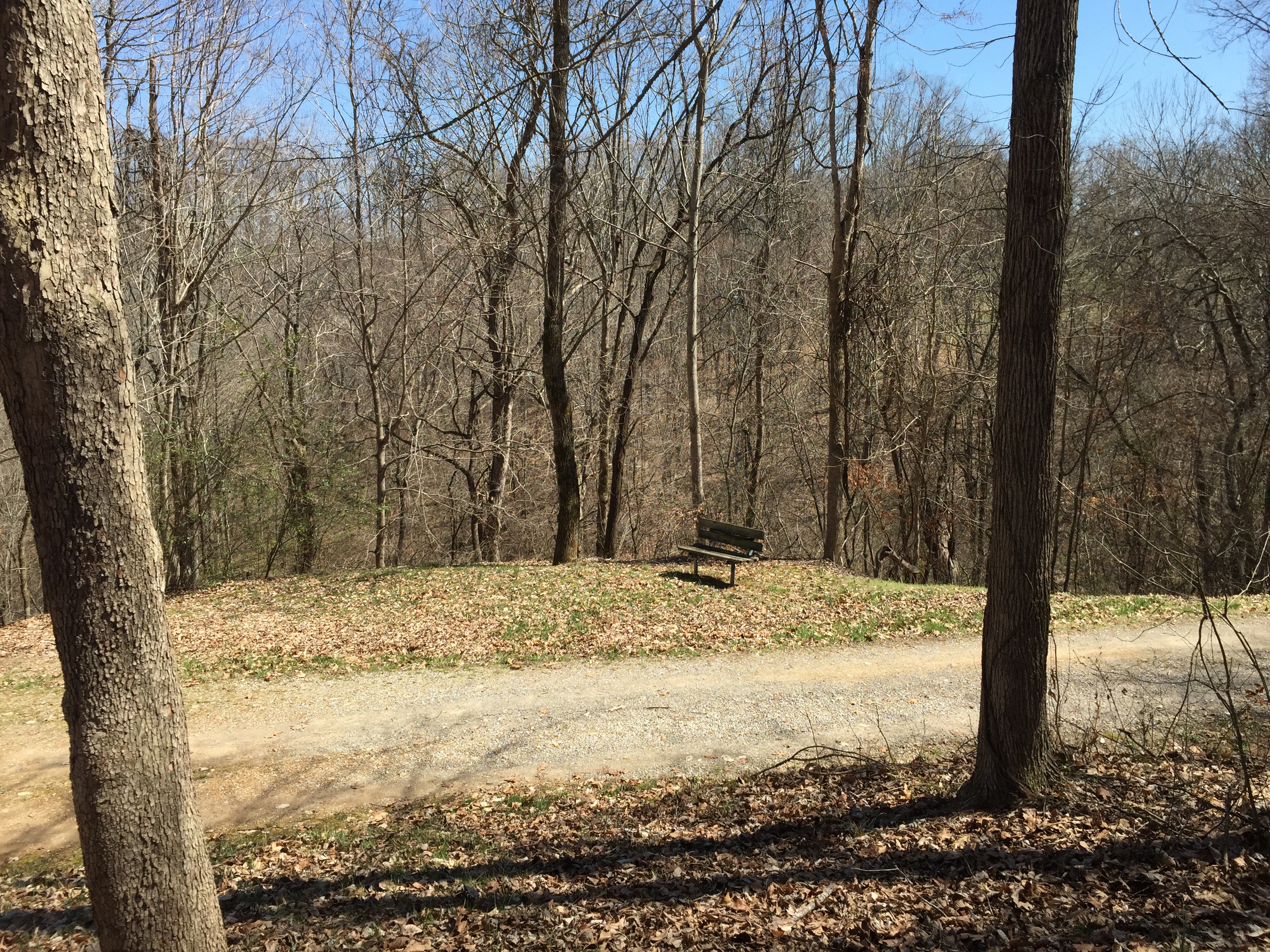
Morning Hike along "The Ridge" at Powell Place 11JUN2015

Tennessee Canola

Sycamore Hills

#Sunset through the #Rain

Sycamore Hills barn after a storm
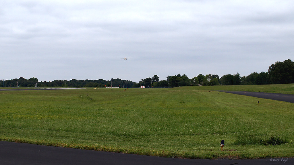
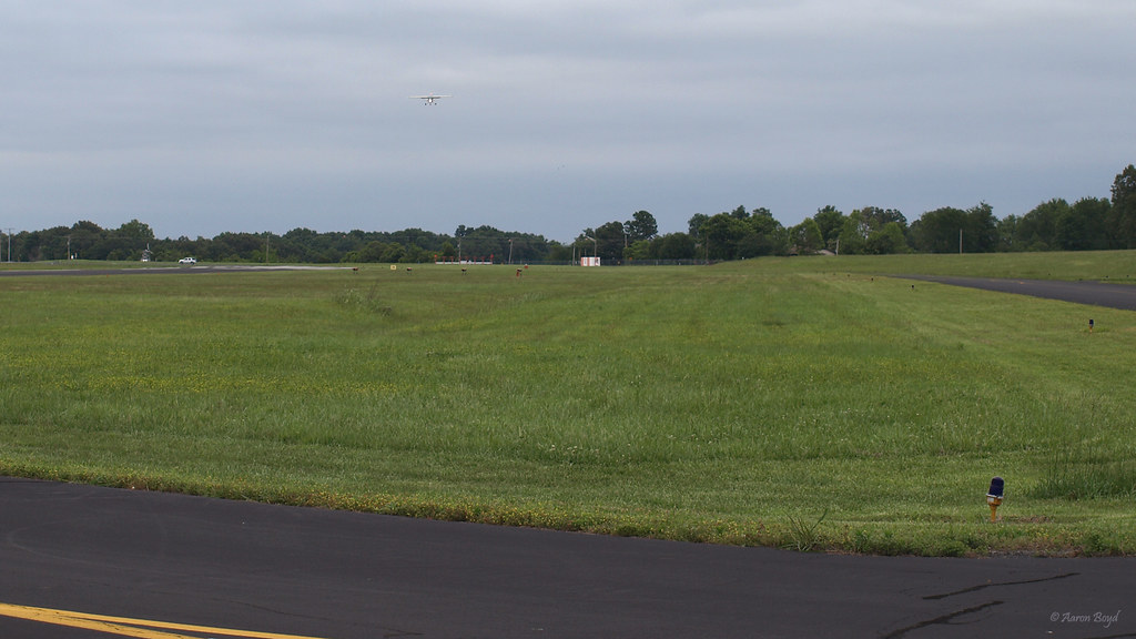
My first solo flight (photo courtesy of Aaron Boyd)
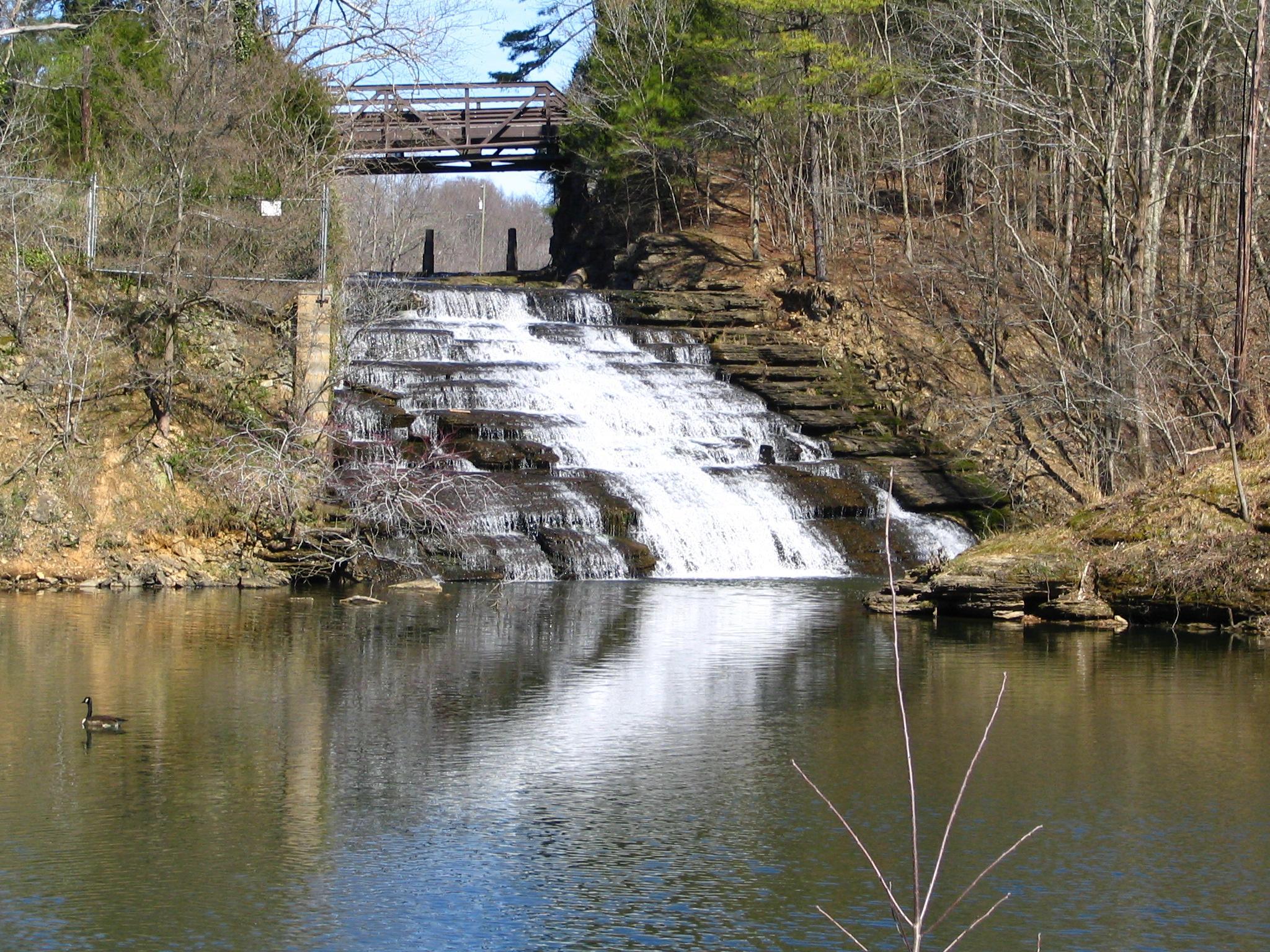
Waterfall at Marrowbone Lake
Gatlenburg tn @ cabin

clouds after a storm

My first solo flight (photo courtesy of Aaron Boyd)
Fort Payne Transitions
My first solo flight (photo courtesy of Aaron Boyd)

Scissor-Tailed Flycatcher
Overlook beside front driveway
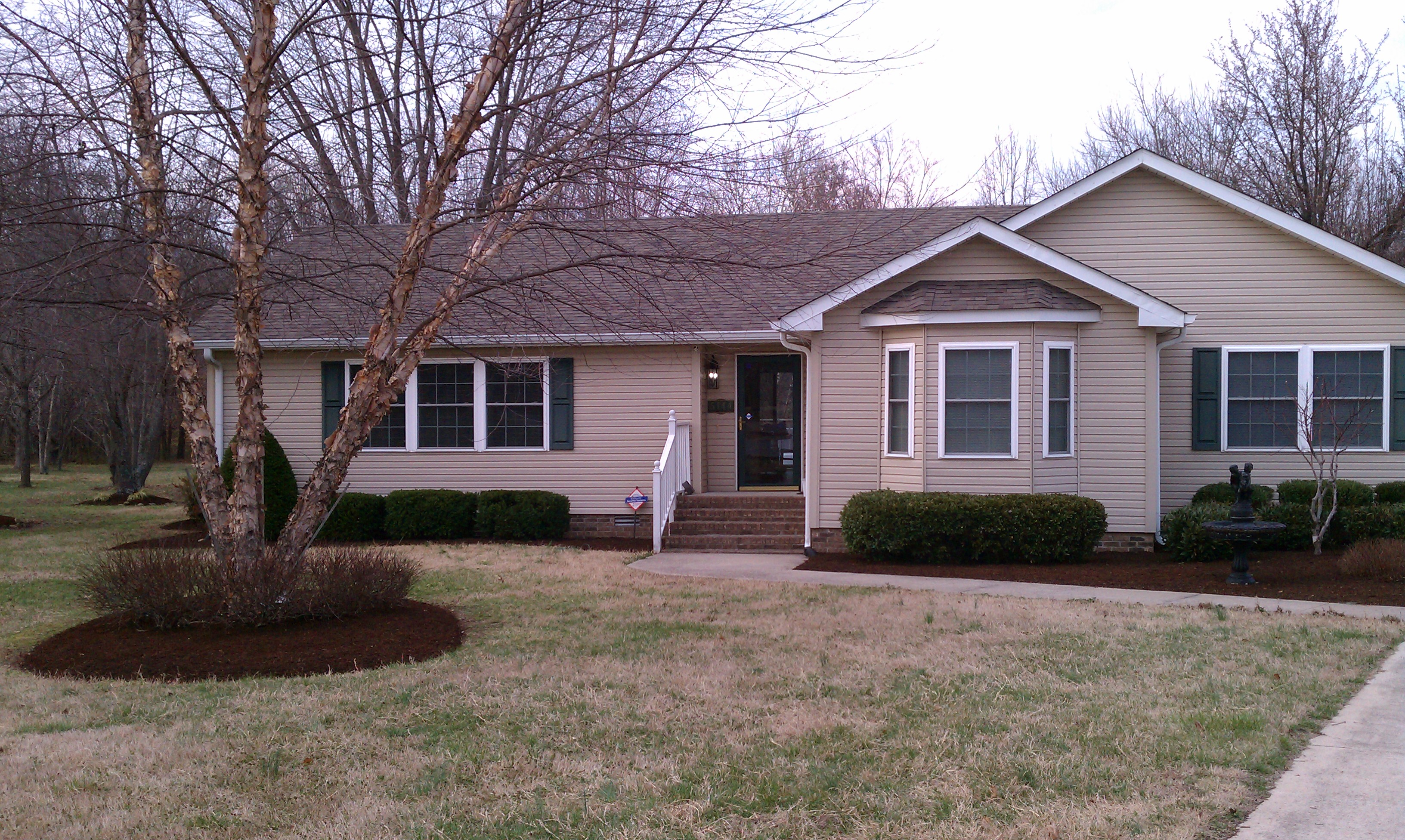
My House, Early Spring, 2011
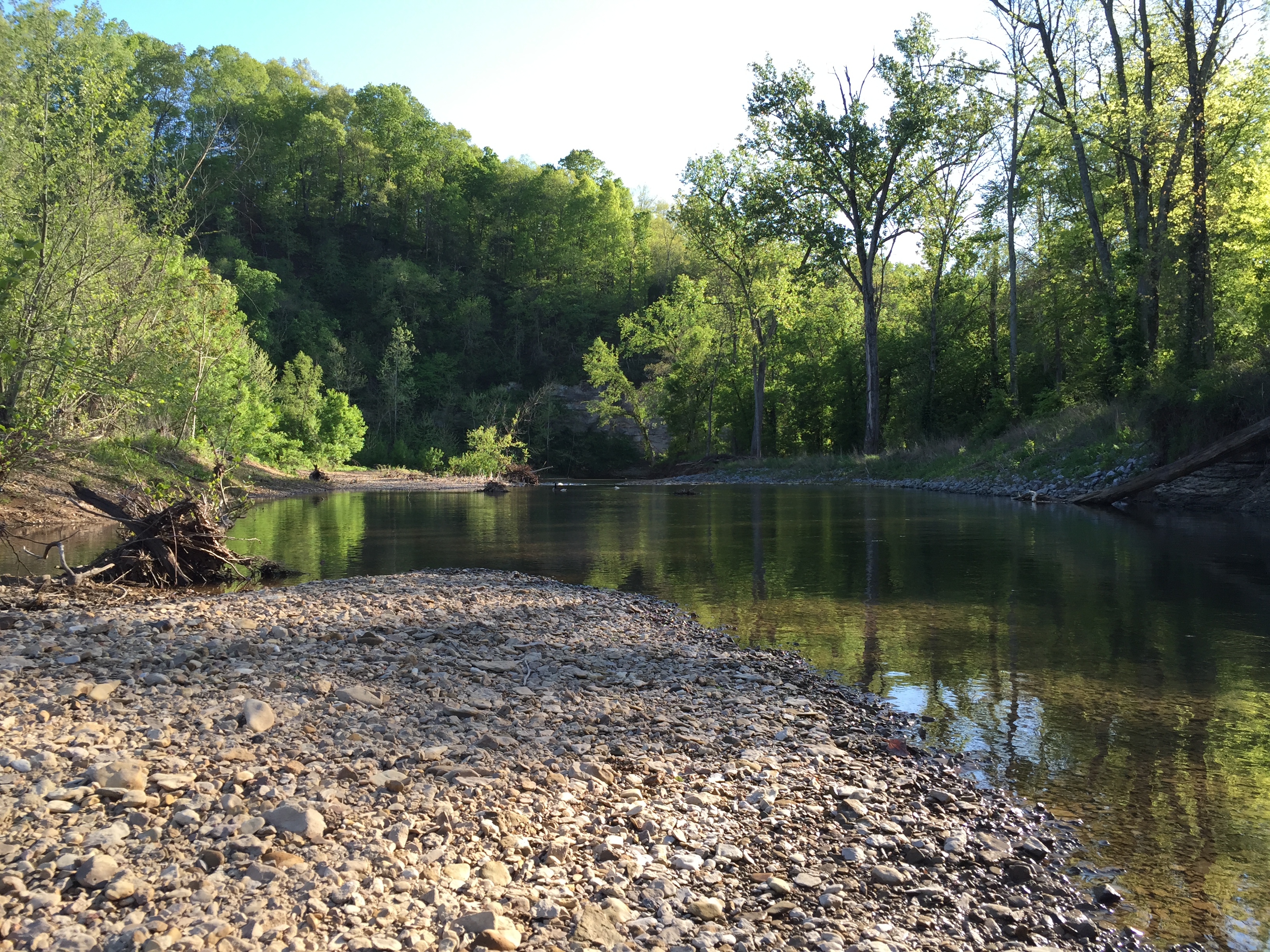
Went fishing in Sycamore Creek this afternoon and caught a variety of fish.

Great day for a soccer championship. Two awesome teams facing off. Go Billy goats! And go Kyra!!!
Cool Six Branch Tree (swing)
Topographic Map of Coopertown, TN, USA
Find elevation by address:

Places near Coopertown, TN, USA:
3060 Tn-49
Will Teasley Rd, Cedar Hill, TN, USA
4040 Ironwood Dr
Pleasant View
Gause Rd, Pleasant View, TN, USA
3579 Kinneys Rd
616 Fairway Trail
3080 New Cut Rd
112 Golf Club Ln
604 3rd Ave W
Springfield
208 Blackpatch Dr
4009 Sawney Dr
Cedar Hill
4269 Us-431
304 Champion Dr
Lakeshore Dr, Springfield, TN, USA
1673 Mosley Ferry Rd
Robertson County
1671 Mosley Ferry Rd
Recent Searches:
- Elevation of N, Mt Pleasant, UT, USA
- Elevation of 6 Rue Jules Ferry, Beausoleil, France
- Elevation of Sattva Horizon, 4JC6+G9P, Vinayak Nagar, Kattigenahalli, Bengaluru, Karnataka, India
- Elevation of Great Brook Sports, Gold Star Hwy, Groton, CT, USA
- Elevation of 10 Mountain Laurels Dr, Nashua, NH, USA
- Elevation of 16 Gilboa Ln, Nashua, NH, USA
- Elevation of Laurel Rd, Townsend, TN, USA
- Elevation of 3 Nestling Wood Dr, Long Valley, NJ, USA
- Elevation of Ilungu, Tanzania
- Elevation of Yellow Springs Road, Yellow Springs Rd, Chester Springs, PA, USA