Elevation of Riverview Ln, Blue Earth, MN, USA
Location: United States > Minnesota > Faribault County > Blue Earth >
Longitude: -94.0884214
Latitude: 43.6435397
Elevation: 329m / 1079feet
Barometric Pressure: 0KPa
Related Photos:

Closer view of inscription for John Naumann
2015-07-02 Sam_120916

2015-07-02 Sam_120914
2015-07-02 Sam_120925

2015-07-02 Sam_120943

day05 325

21/52: Saturday Sunset
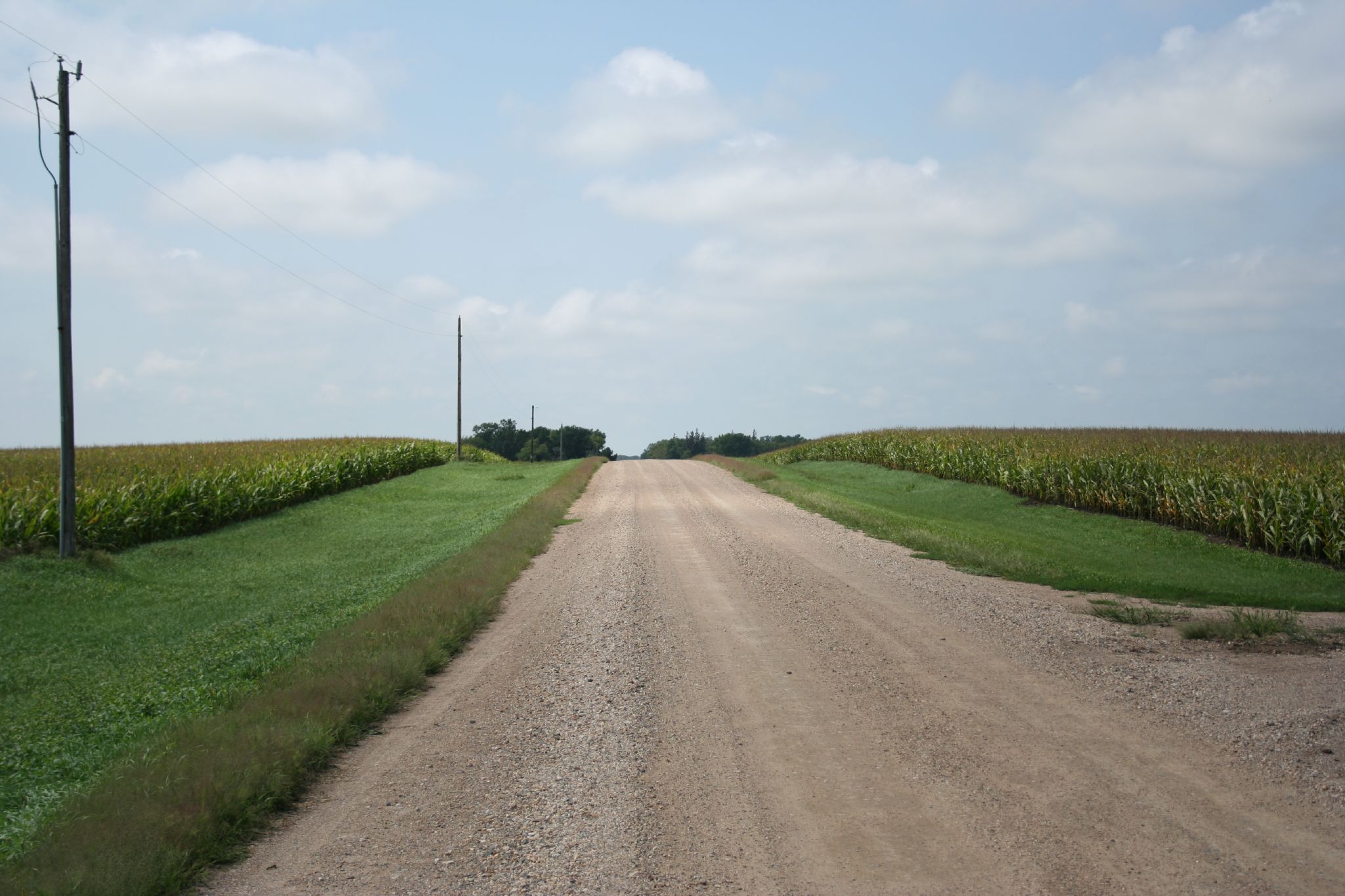
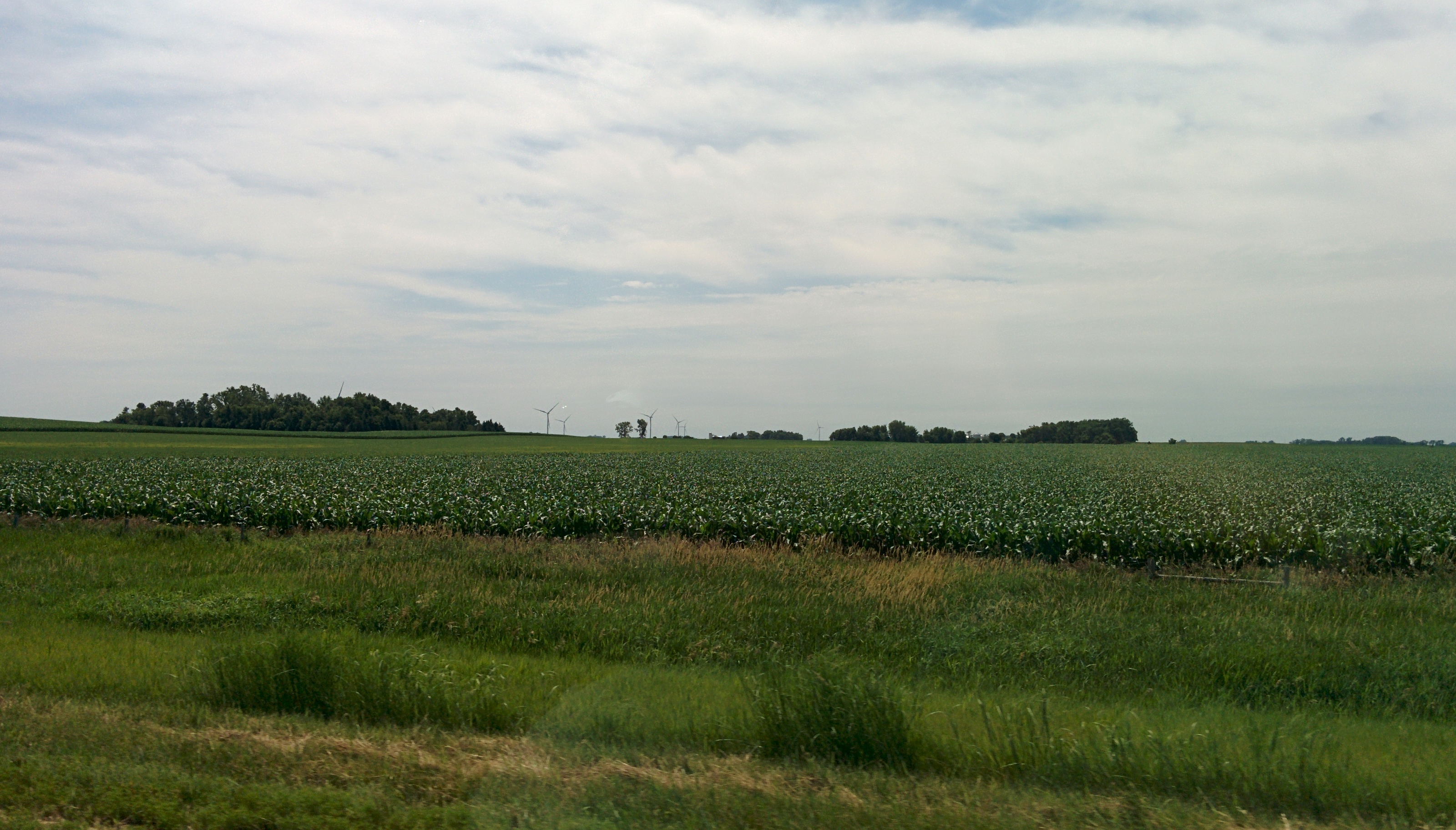
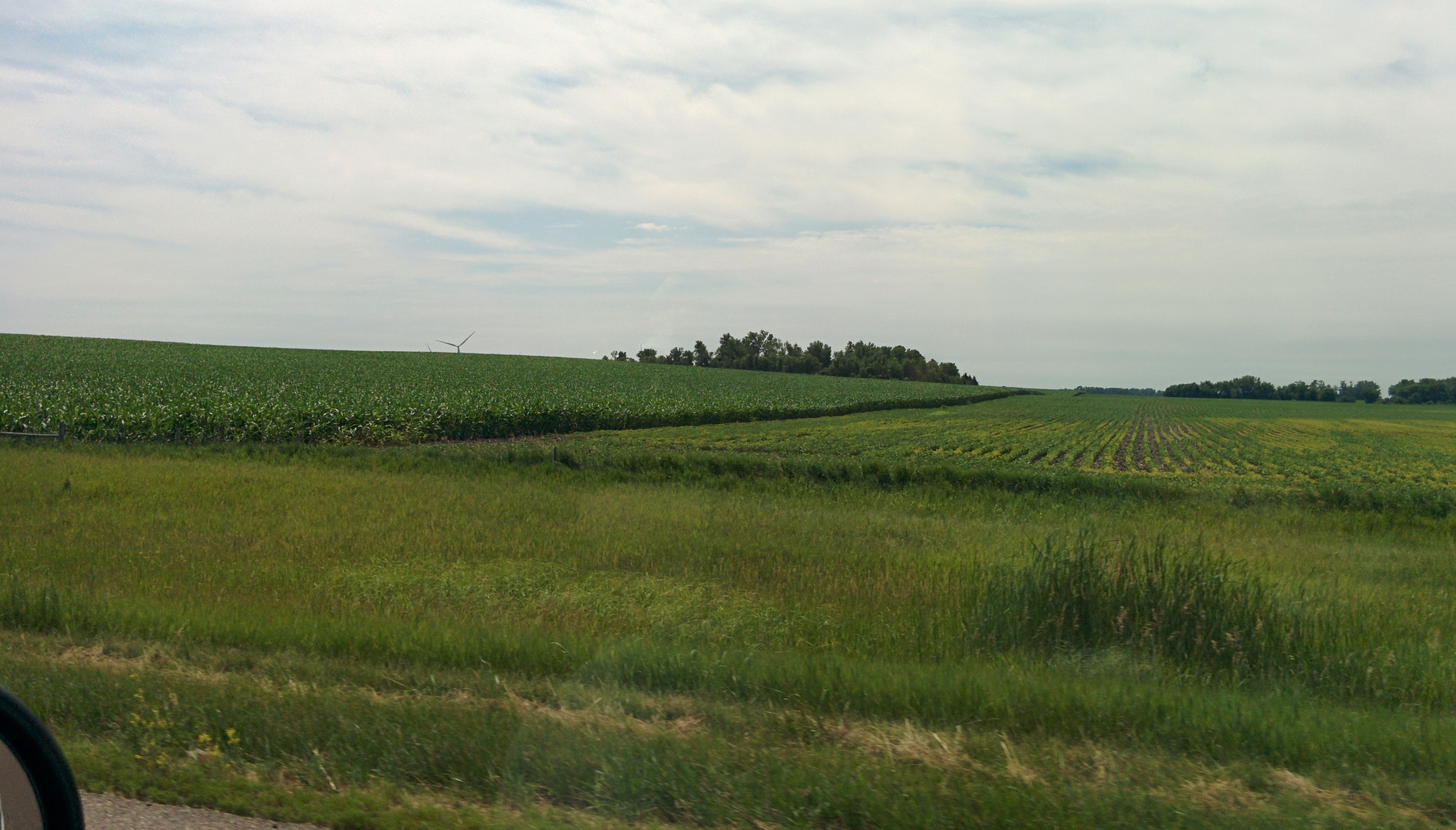
Down the Road

they might be giants?
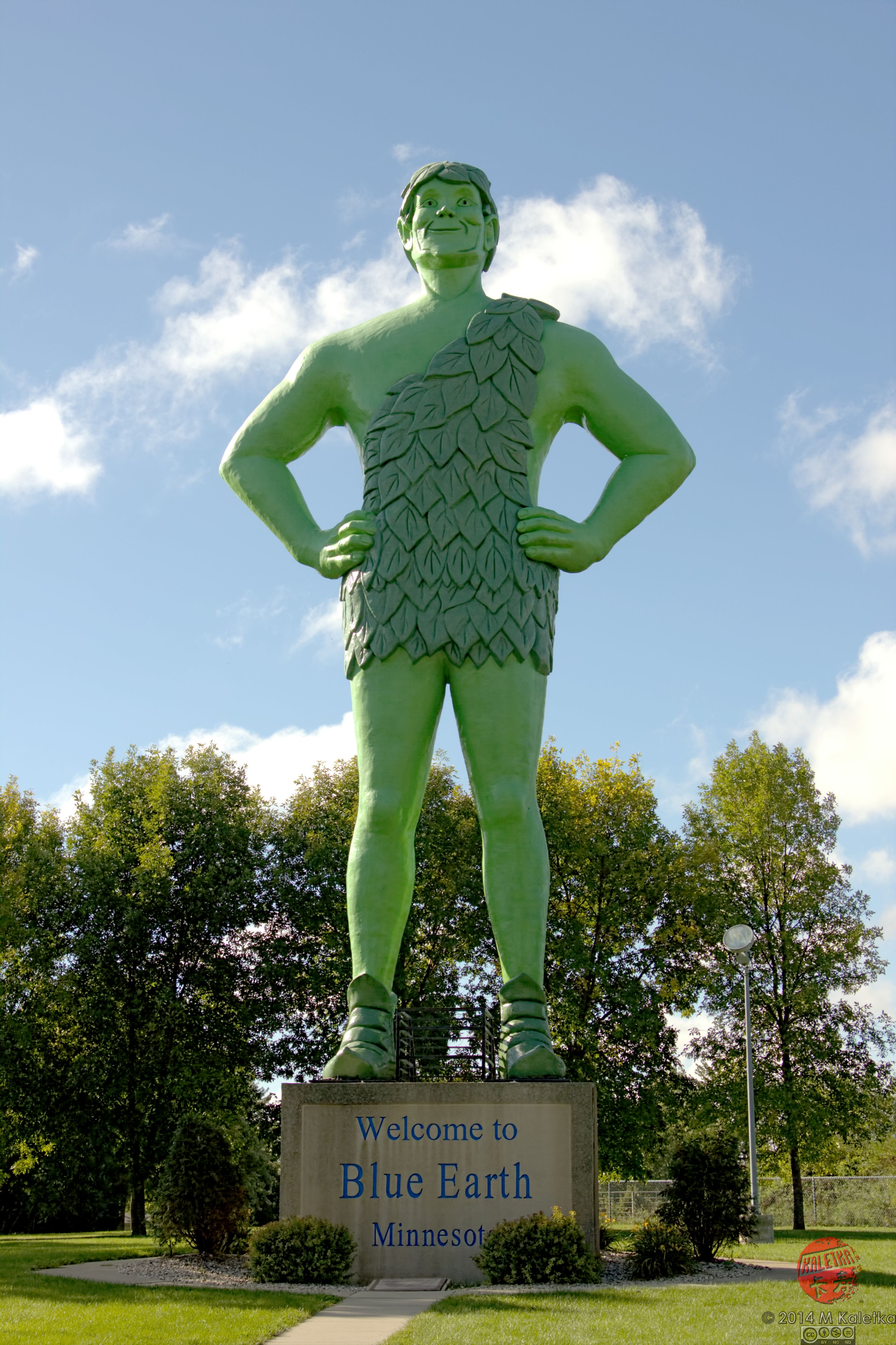
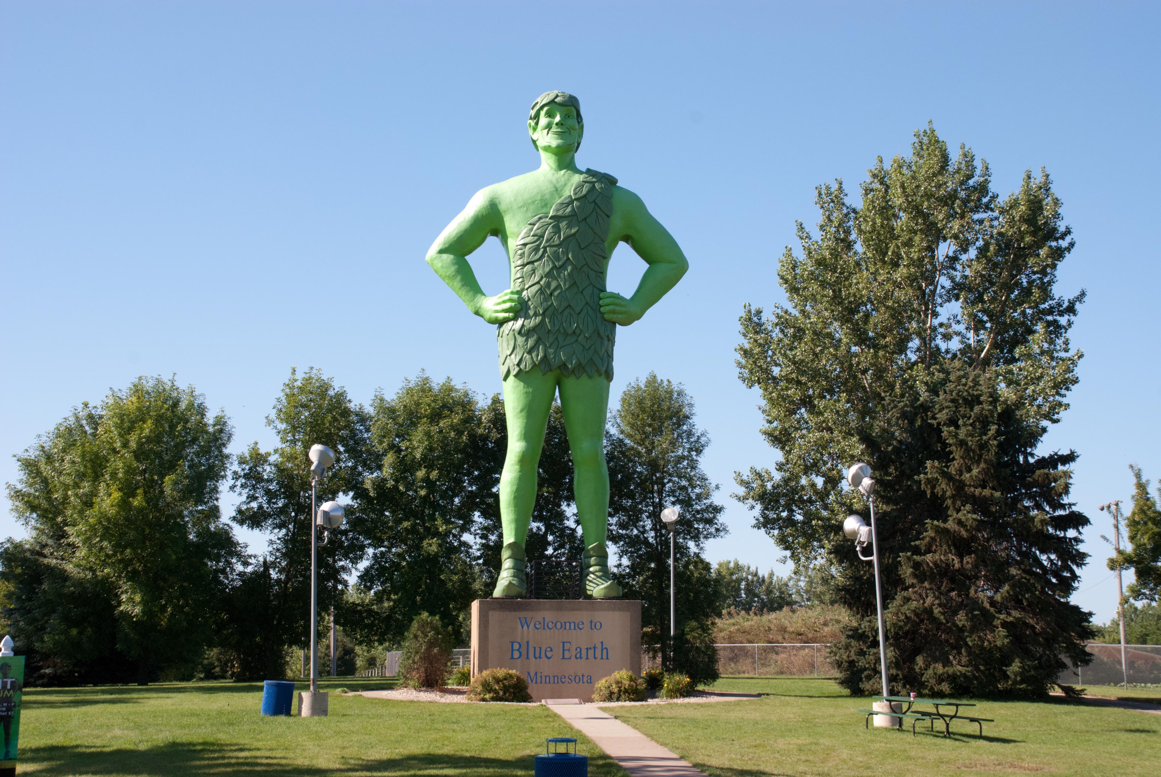
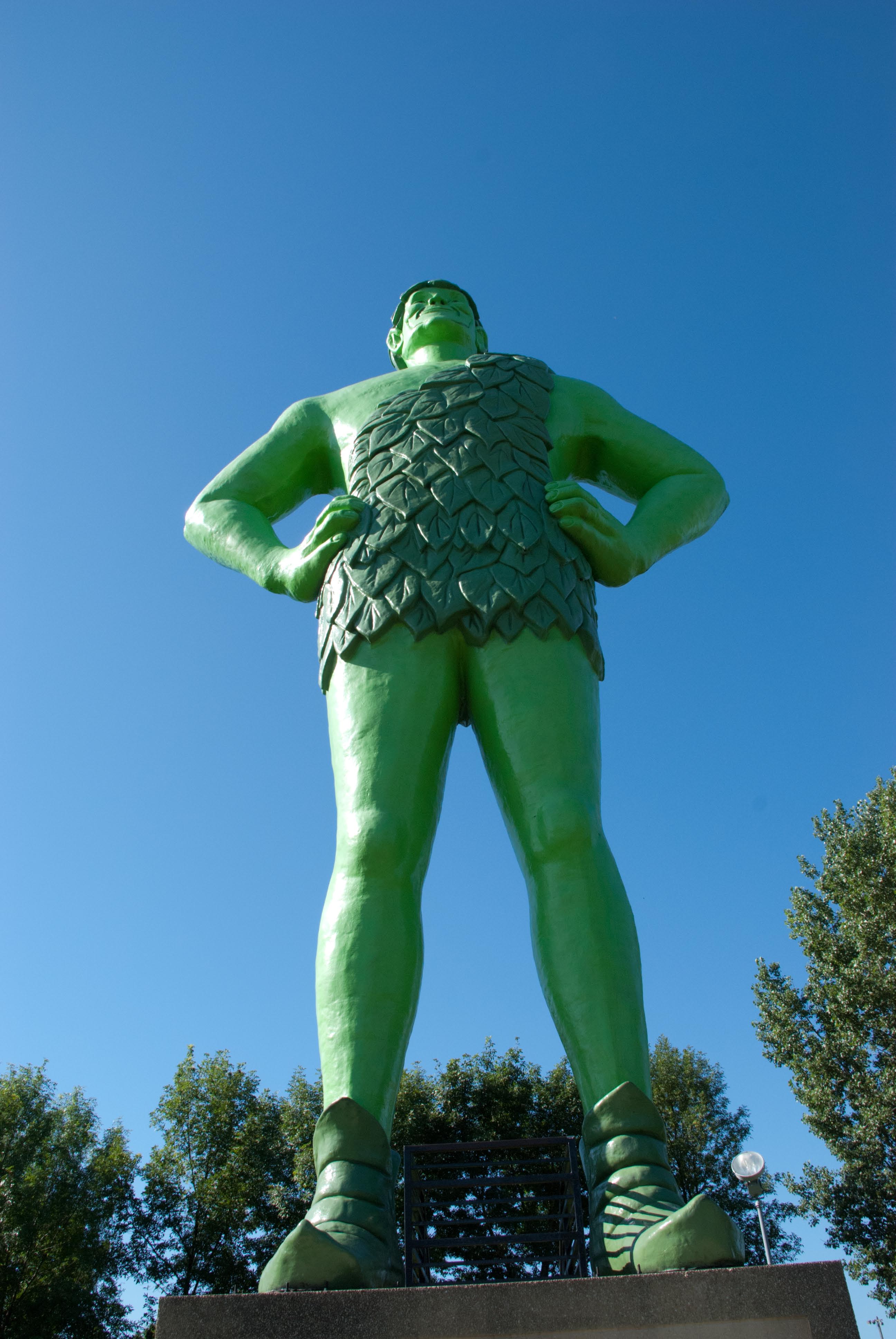
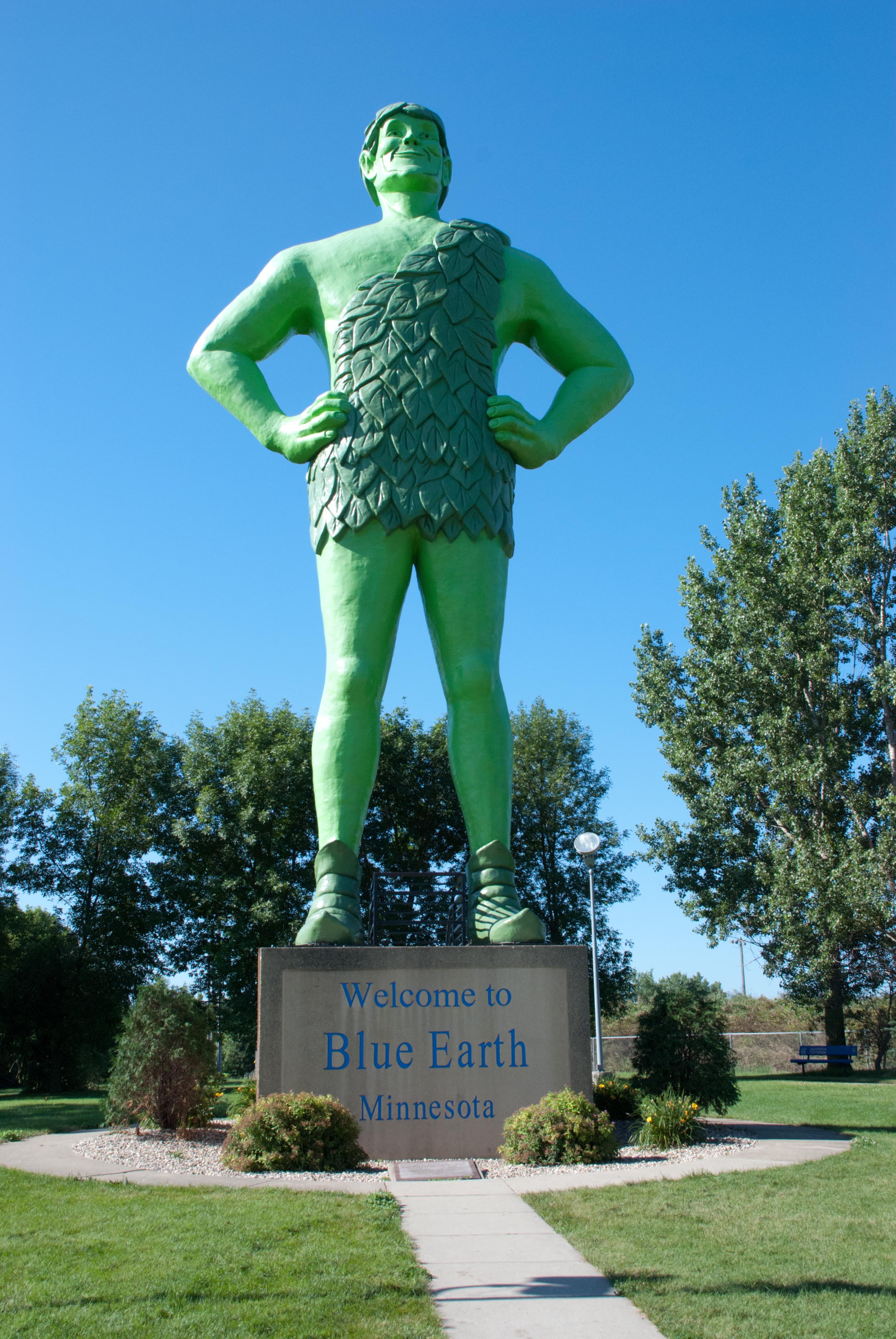
Jolly Green Giant
2015-12-05 11.39.09

2015-12-05 11.16.19

2015-12-05 11.37.41

2015-12-05 11.37.56

2015-12-05 11.38.56

LeConte's Sparrow

Shadow of the Colossus, irl ????

Derelict Winnebago House
DSC_6528-1.NEF
DSC_6527-1.NEF
DSC_6526-1.NEF
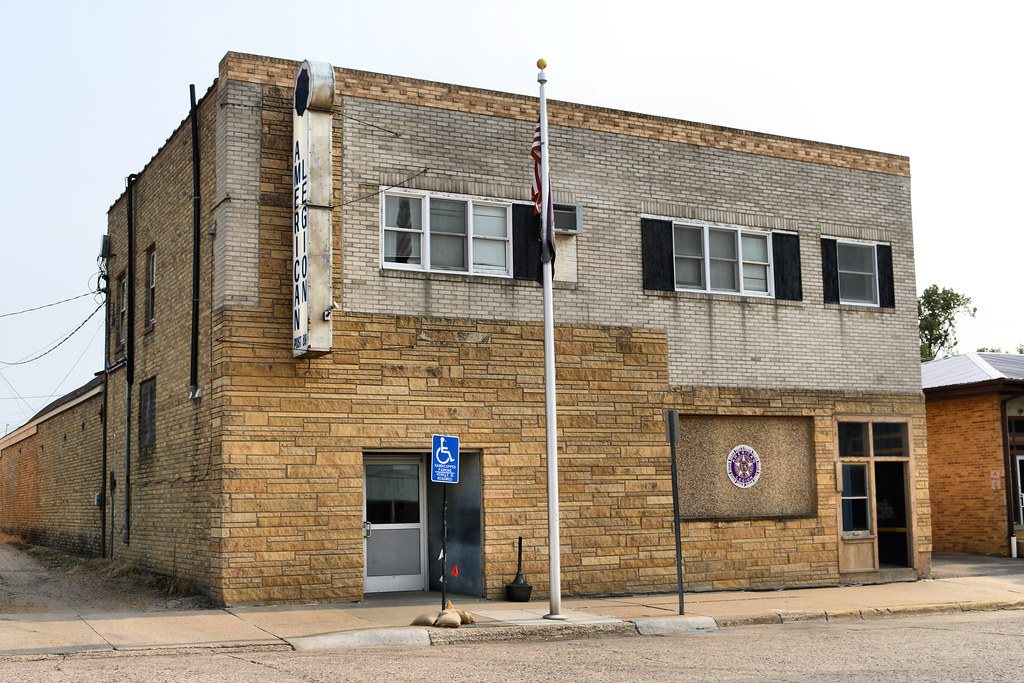
American Legion Post 89 - Blue Earth, MN
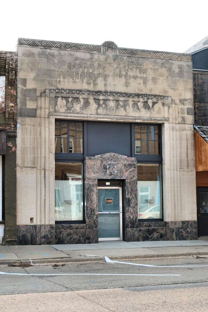
First and Farmers National Bank Building - Blue Earth, MN
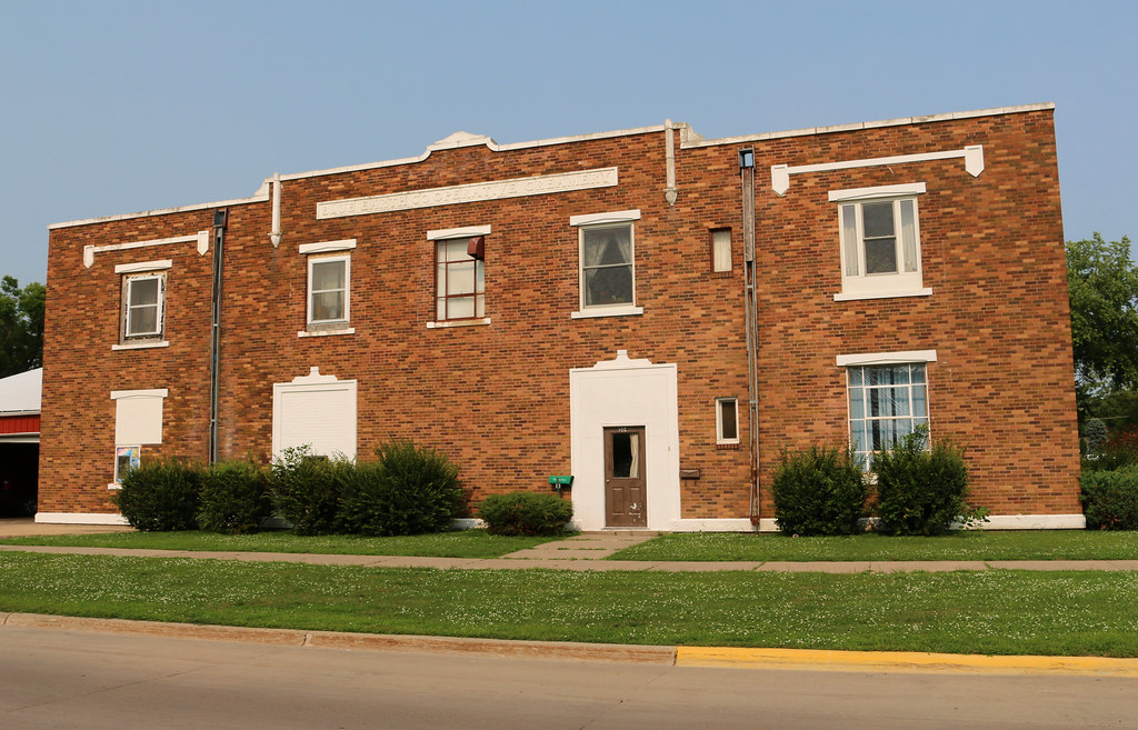
Blue Earth Co-Operative Creamery Building - Blue Earth, MN
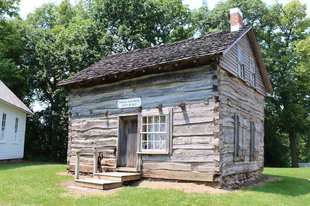
Krosch Log House, History Lane, Fairbault County Fairgrounds - Blue Earth, MN
Topographic Map of Riverview Ln, Blue Earth, MN, USA
Find elevation by address:

Places near Riverview Ln, Blue Earth, MN, USA:
Blue Earth
Faribault County
Sterling Township
E Maine St, Amboy, MN, USA
Amboy
th Ave, Amboy, MN, USA
103 Troendle St Sw
Mapleton
Main St NE, Mapleton, MN, USA
Blue Earth County
53032 220th St
268 1st Ave Sw
Wells
Shady Oaks Campground
Garden City
Washington St, Garden City, MN, USA
Garden City Township
th St, Mankato, MN, USA
55856 River Fort Dr
Main St, Waldorf, MN, USA
Recent Searches:
- Elevation of Sullivan Hill, New York, New York, 10002, USA
- Elevation of Morehead Road, Withrow Downs, Charlotte, Mecklenburg County, North Carolina, 28262, USA
- Elevation of 2800, Morehead Road, Withrow Downs, Charlotte, Mecklenburg County, North Carolina, 28262, USA
- Elevation of Yangbi Yi Autonomous County, Yunnan, China
- Elevation of Pingpo, Yangbi Yi Autonomous County, Yunnan, China
- Elevation of Mount Malong, Pingpo, Yangbi Yi Autonomous County, Yunnan, China
- Elevation map of Yongping County, Yunnan, China
- Elevation of North 8th Street, Palatka, Putnam County, Florida, 32177, USA
- Elevation of 107, Big Apple Road, East Palatka, Putnam County, Florida, 32131, USA
- Elevation of Jiezi, Chongzhou City, Sichuan, China
- Elevation of Chongzhou City, Sichuan, China
- Elevation of Huaiyuan, Chongzhou City, Sichuan, China
- Elevation of Qingxia, Chengdu, Sichuan, China
- Elevation of Corso Fratelli Cairoli, 35, Macerata MC, Italy
- Elevation of Tallevast Rd, Sarasota, FL, USA
- Elevation of 4th St E, Sonoma, CA, USA
- Elevation of Black Hollow Rd, Pennsdale, PA, USA
- Elevation of Oakland Ave, Williamsport, PA, USA
- Elevation of Pedrógão Grande, Portugal
- Elevation of Klee Dr, Martinsburg, WV, USA