Elevation of Garden City Township, MN, USA
Location: United States > Minnesota > Blue Earth County >
Longitude: -94.171854
Latitude: 44.0770672
Elevation: 303m / 994feet
Barometric Pressure: 98KPa
Elevation Map:
Satellite Map:
Related Photos:

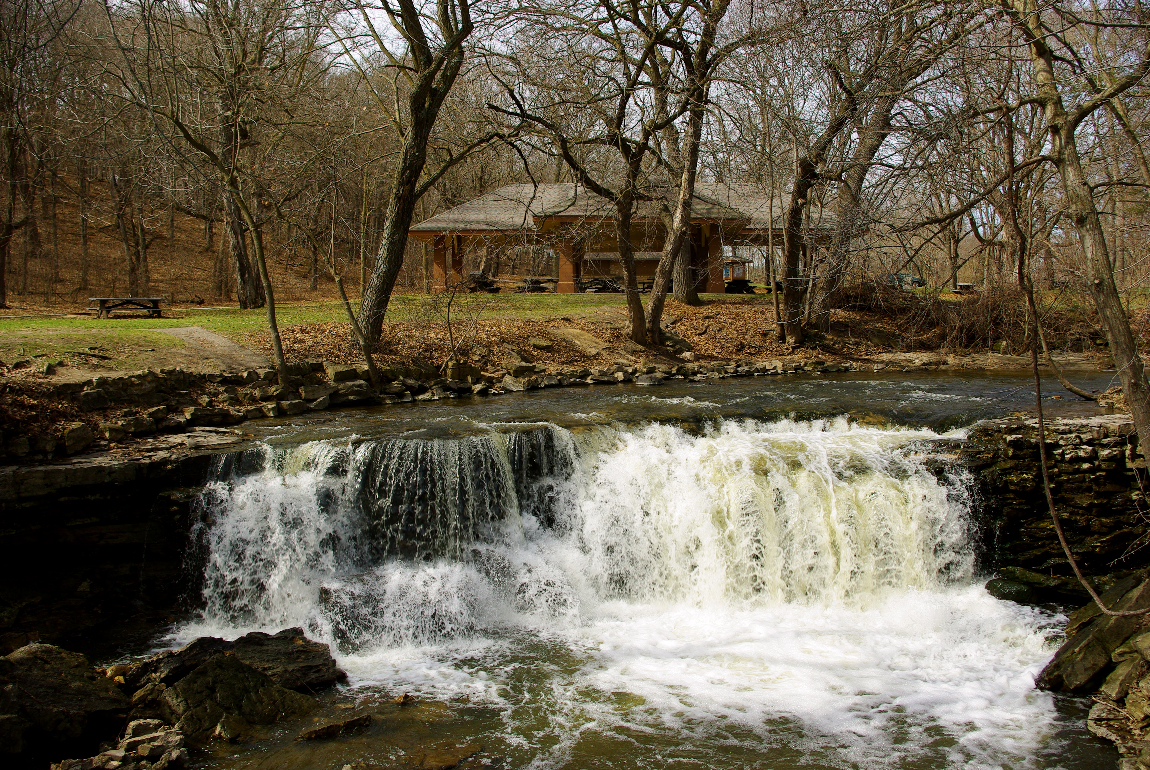
Minneopa Falls

Twice Fallen

A4 - 'wild' HDR

Minneopa Falls

First waterfall

Chad's view in fall

Summertime in Minneopa

View from trestle

a view from outside

Chad's view

On the bridge view
Upper Falls

view of the 2nd bridge

The view up

r-027

The view down

Minneopa Falls

"Trees"

Bison Grazing at Sunset

Waterfall in Afternoon

Low Falls

Snow in the Valley

Into The Woods

Below the Falls

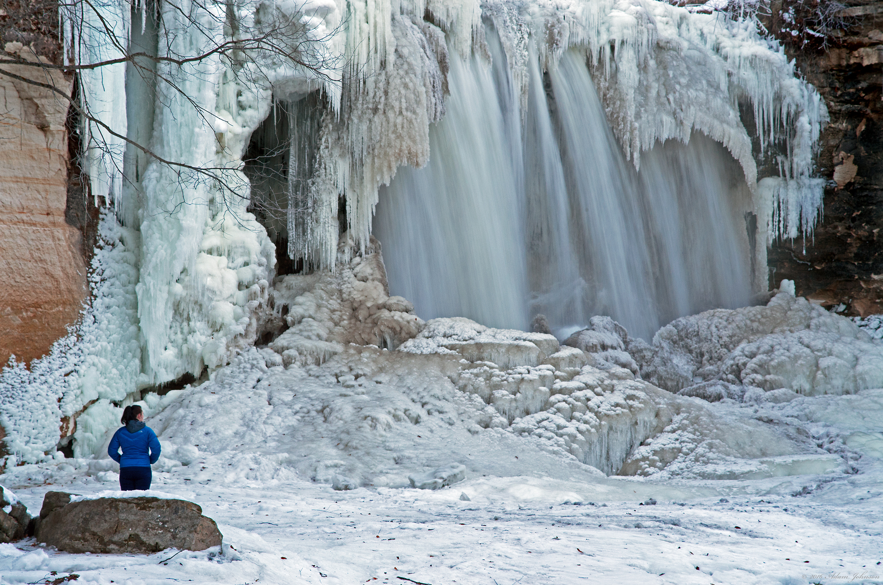
Water on Ice

Upper Minneopa Waterfall

The Beast
Surreal Landscape

Edge of the Falls

The Prairie Road at Sunset

Escaping the Disolve

Snow-covered trees at Minneopa State Park, Mankato, Winter in Minnesota

Upper Falls (safe)

"Minneopa State Park" Minnesota

We are as the Puppets

Minneopa Falls
Topographic Map of Garden City Township, MN, USA
Find elevation by address:

Places in Garden City Township, MN, USA:
Places near Garden City Township, MN, USA:
Washington St, Garden City, MN, USA
Garden City
Shady Oaks Campground
South Bend Township
th St, Mankato, MN, USA
44432 Judson Bottom Rd
43161 520th St
55856 River Fort Dr
227 Lyd Blvd
Nicollet Township
Skyline
Krbi-fm
North Mankato
1113 Sunrise Dr
Sharon Dr, North Mankato, MN, USA
137 Mary Cir
20 Alek Ct
Shaubut Street
215 James Ave
Lincoln Park
Recent Searches:
- Elevation of Placer Mine Ln, West Jordan, UT, USA
- Elevation of E 63rd St, New York, NY, USA
- Elevation of Elk City, OK, USA
- Elevation of Erika Dr, Windsor, CA, USA
- Elevation of Village Ln, Finleyville, PA, USA
- Elevation of 24 Oakland Rd #, Scotland, ON N0E 1R0, Canada
- Elevation of Deep Gap Farm Rd E, Mill Spring, NC, USA
- Elevation of Dog Leg Dr, Minden, NV, USA
- Elevation of Dog Leg Dr, Minden, NV, USA
- Elevation of Kambingan Sa Pansol Atbp., Purok 7 Pansol, Candaba, Pampanga, Philippines