Elevation of Riverside St, Millbank, ON N0K 1L0, Canada

Location: Canada > Ontario > Perth County > Perth East > Millbank >

Longitude: -80.839688

Latitude: 43.5713028

Elevation: 372m / 1220feet

Barometric Pressure: 97KPa

Elevation Map:

elevation map of Riverside St, Millbank, ON N0K 1L0, Canada

Satellite Map:

Satellite map of Riverside St, Millbank, ON N0K 1L0, Canada

Related Photos:

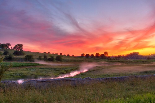
sunset panorama ontario canada landscape gimp farms mennonites crosshill wellesleytownship waterlooregion microsoftice oloneo olympusomdem5
View from near Crosshill
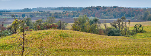
panorama ontario canada landscape fallcolors gimp crosshill waterlooregion microsoftice oloneo olympusomdem5
Crosshill oasis (right)
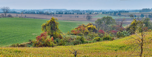
panorama ontario canada landscape fallcolors gimp crosshill waterlooregion microsoftice oloneo olympusomdem5
Crosshill oasis (left )
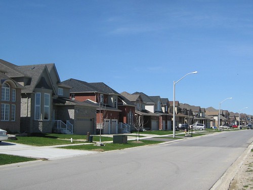
ontario canada home luxury wellesley schweitzer
Schweitzer Crescent, Wellesley, Ontario, Canada (1)
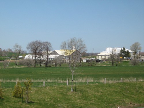
ontario canada farm wellesley
View from Schweitzer Crescent, Wellesley, Ontario, Canada (2)
summer food field grass golden wheat grain harvest full frame
Summer Harvest
house field barn farm kitchener silo linwood
Farming Scene
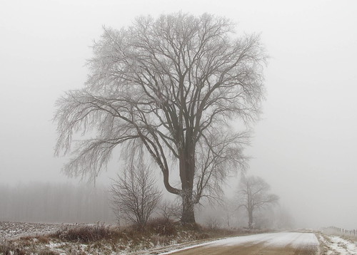
trees ontario canada fog landscape hoarfrost americanelm waterlooregion wilmottownship olympusomdem5
Roadside elm
family tree field fence garden cow backyard harvest kitchener amish jersey millbank
Cow Guard
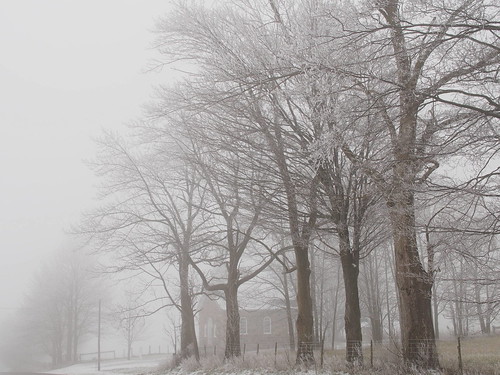
trees ontario canada church fog landscape hoarfrost sugarmaple waterlooregion wilmottownship olympusomdem5 stjohnsluthern
St. John's Lutheran
winter panorama snow ontario canada landscape frost hoarfrost gimp wellesleytownship waterlooregion mennonitefarm microsoftice oloneo olympusomdem5
Field of frost and fog
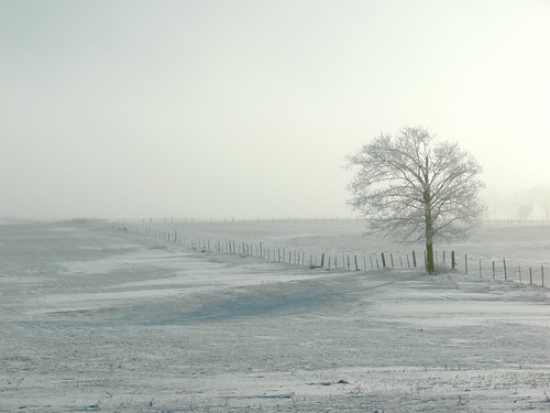
winter snow ontario canada fog landscape fences gimp fz30 silkypix panasoniclumixfz30 waterlooregion
Fog and frost - Lone tree
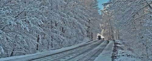
winter panorama snow ontario canada forest landscape gimp buggy mennonites wellesleytownship waterlooregion microsoftice oloneo olympusomdem5
Buggy in bush on Hackbart Road
winter panorama snow ontario canada landscape pond gimp wellesleytownship waterlooregion mennonitefarm microsoftice oloneo olympusomdem5
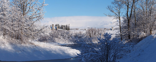
First snow - pond and farms
winter snow ontario landscape gimp mennonites silkypix pondhockey wellesleytownship panasoniclumixfz30 waterlooregion
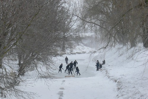
Sunday afternoon pick-up on Boomer Creek
ontario canada field geotagged farmers can waterloo hay waterloonorthwest geo:lat=4367277500 geo:lon=8071941833
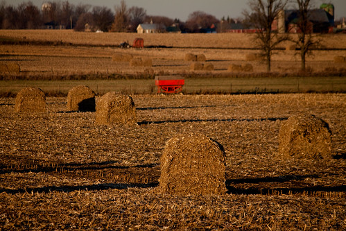
Hay Anyone-
winter panorama snow ontario canada landscape frost hoarfrost gimp buggy mennonites wellesleytownship waterlooregion microsoftice oloneo olympusomdem5
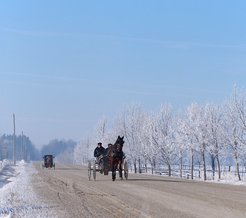
Sonntag Morgen
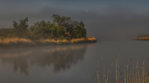
longexposure panorama ontario canada fog night landscape nightscape gimp moonlight glenallan startrails wellingtoncounty conestogoriver conestogariver microsoftice oloneo olympusomdem5 conestogariverproject
Full moon and a chance of frost
lines rural cut farm hay millbank
Lines of the Farm
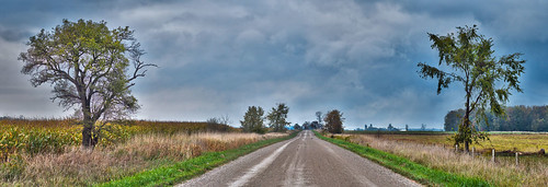
panorama ontario canada clouds landscape gimp wellesleytownship waterlooregion microsoftice oloneo olympusomdem5
Lichty Road after a rain
girl bike bicycle rural sheep farm kitchener amish riding millbank
Bike Ride past the Sheep
longexposure sunset ontario canada landscape nightscape glenallan wellingtoncounty panasoniclumixgh1 conestogariverproject
Sunset at the Princess Elizabeth Bridge
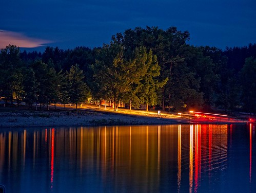
longexposure ontario canada night landscape lights nightscape conestogolake wellingtoncounty panasoniclumixgh1 conestogariverproject
Haulin' 'er out II