Elevation of Millbank, ON N0K, Canada
Location: Canada > Ontario > Perth County > Perth East >
Longitude: -80.834595
Latitude: 43.5695904
Elevation: 381m / 1250feet
Barometric Pressure: 97KPa
Elevation Map:
Satellite Map:
Related Photos:
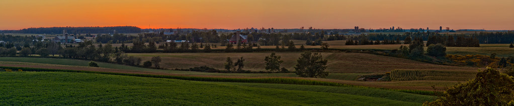
View from near Crosshill
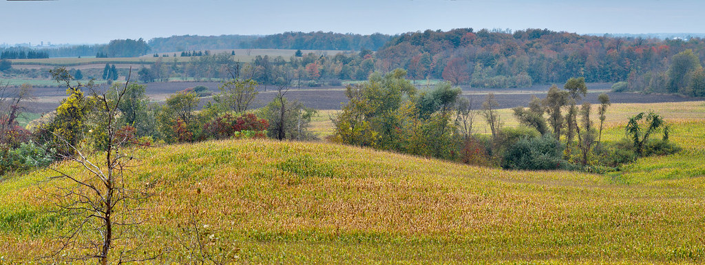
Crosshill oasis (right)
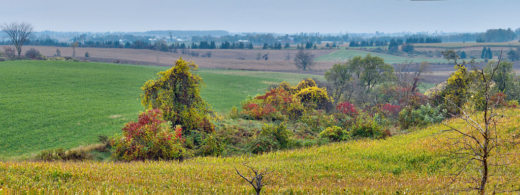
Crosshill oasis (left )
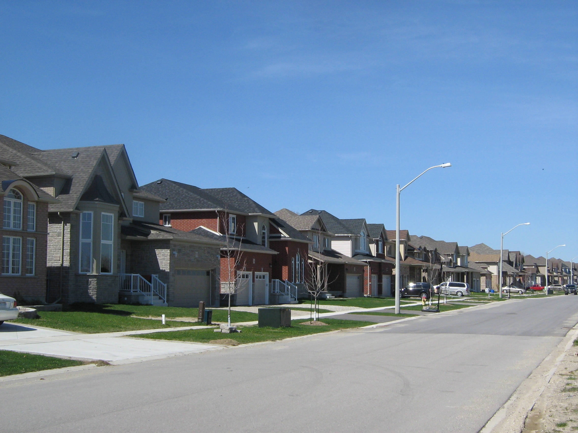
Schweitzer Crescent, Wellesley, Ontario, Canada (1)
View from Schweitzer Crescent, Wellesley, Ontario, Canada (2)

Summer Harvest
Full moon and a chance of frost

Lines of the Farm
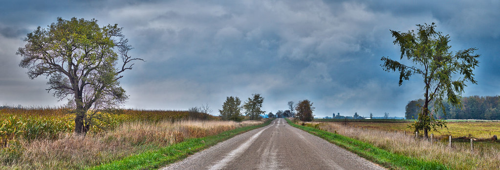
Lichty Road after a rain

Bike Ride past the Sheep

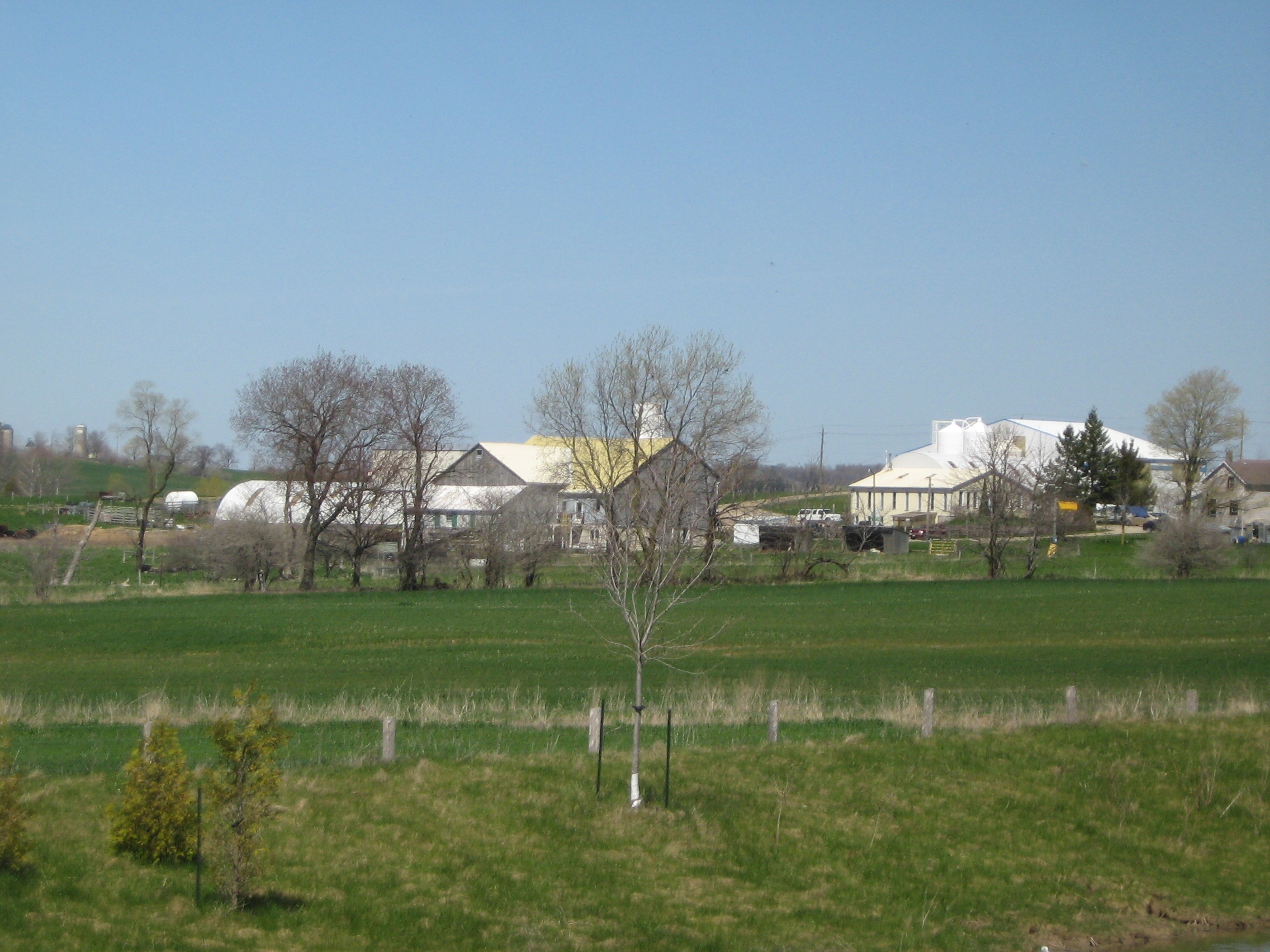
Farming Scene

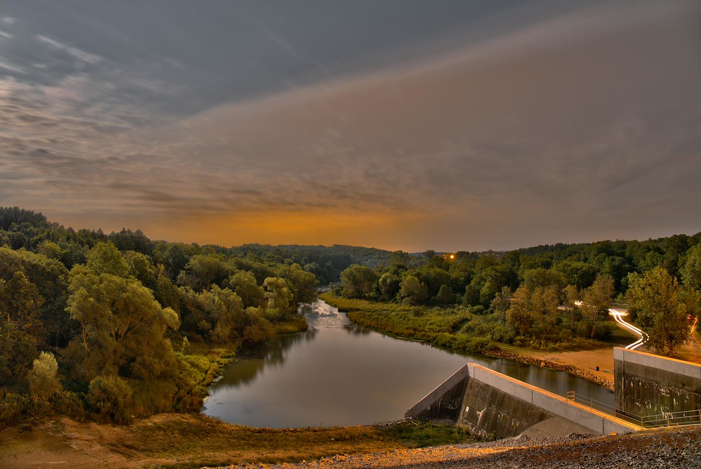
Sunset at the Princess Elizabeth Bridge
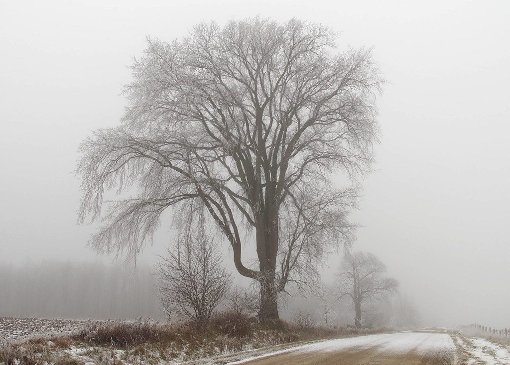
Roadside elm

Cow Guard

Haulin' 'er out II

St. John's Lutheran
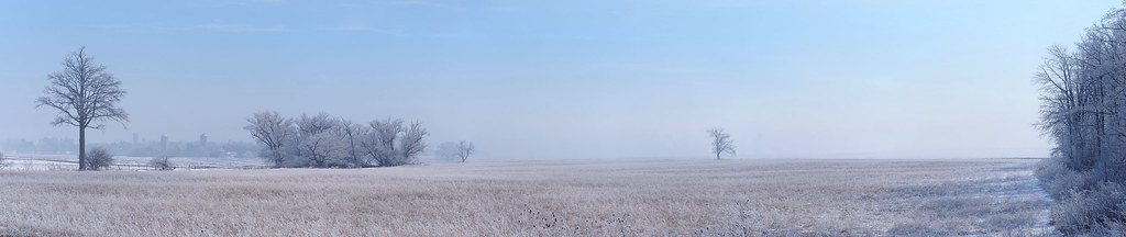
Field of frost and fog
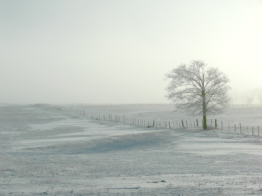
Fog and frost - Lone tree
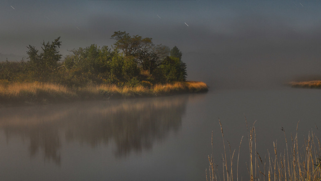
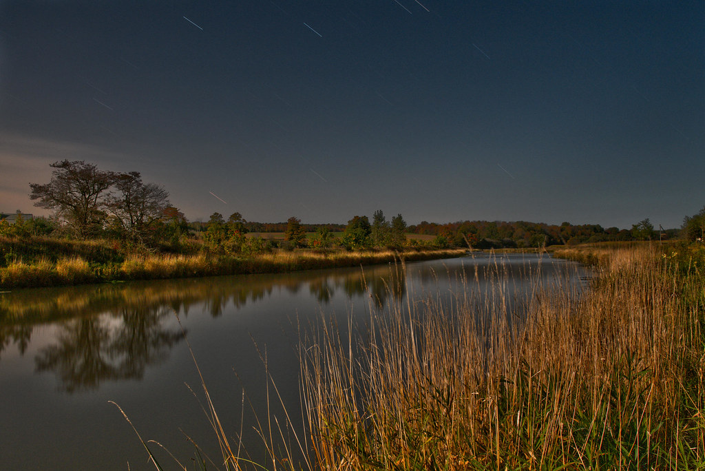
The outfall by moonlight
Buggy in bush on Hackbart Road
Up river from Princess Elizabeth Bridge
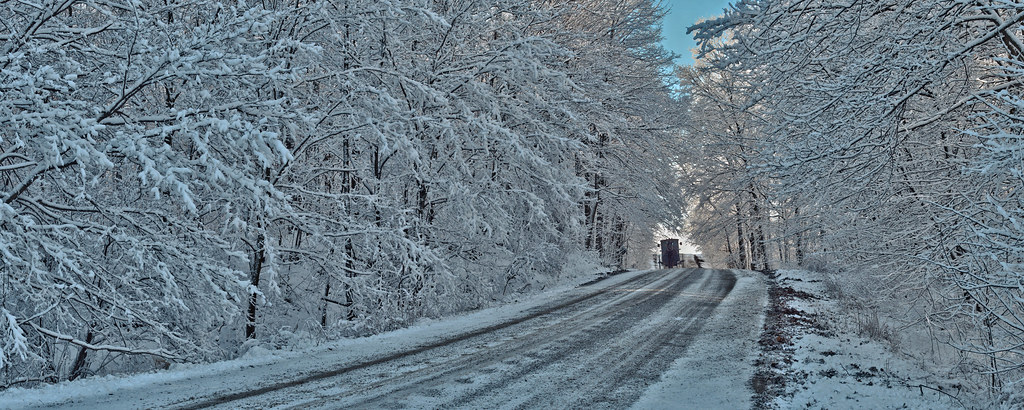
Snowy scene

Headland furrows

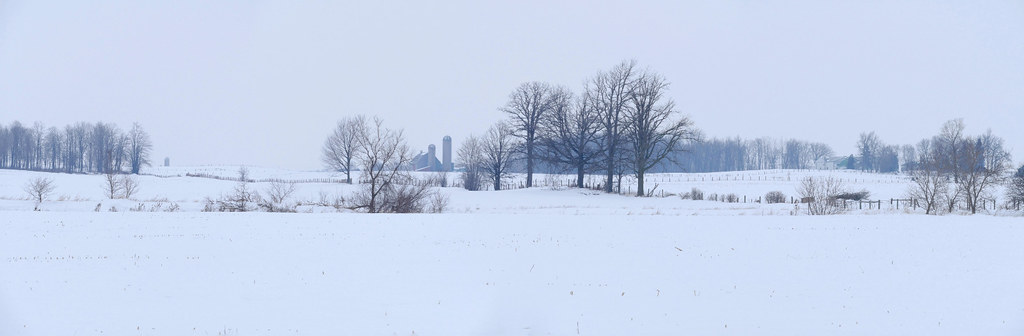
First snow - pond and farms
Topographic Map of Millbank, ON N0K, Canada
Find elevation by address:

Places in Millbank, ON N0K, Canada:
Places near Millbank, ON N0K, Canada:
Riverside St, Millbank, ON N0K 1L0, Canada
Wellesley
5582 Ament Line
King St, Wellesley, ON N0B 2T0, Canada
39 Lorraine Dr
Crosshill
50 Pine St
50 Pine St
50 Pine St
5244 Ament Line
5249 Ament Line
5249 Ament Line
5249 Ament Line
3745 Manser Rd
Linwood
3843 Manser Rd
5119 Ament Line
Wellesley
3378 Hutchison Rd
3378 Hutchison Rd
Recent Searches:
- Elevation of 6 Rue Jules Ferry, Beausoleil, France
- Elevation of Sattva Horizon, 4JC6+G9P, Vinayak Nagar, Kattigenahalli, Bengaluru, Karnataka, India
- Elevation of Great Brook Sports, Gold Star Hwy, Groton, CT, USA
- Elevation of 10 Mountain Laurels Dr, Nashua, NH, USA
- Elevation of 16 Gilboa Ln, Nashua, NH, USA
- Elevation of Laurel Rd, Townsend, TN, USA
- Elevation of 3 Nestling Wood Dr, Long Valley, NJ, USA
- Elevation of Ilungu, Tanzania
- Elevation of Yellow Springs Road, Yellow Springs Rd, Chester Springs, PA, USA
- Elevation of Rēzekne Municipality, Latvia