Elevation of Riverside Rd, Yakima, WA, USA
Location: United States > Washington > Kittitas County >
Longitude: -119.95259
Latitude: 46.777887
Elevation: 154m / 505feet
Barometric Pressure: 99KPa
Elevation Map:
Satellite Map:
Related Photos:
6-27-11 Beverly,WA
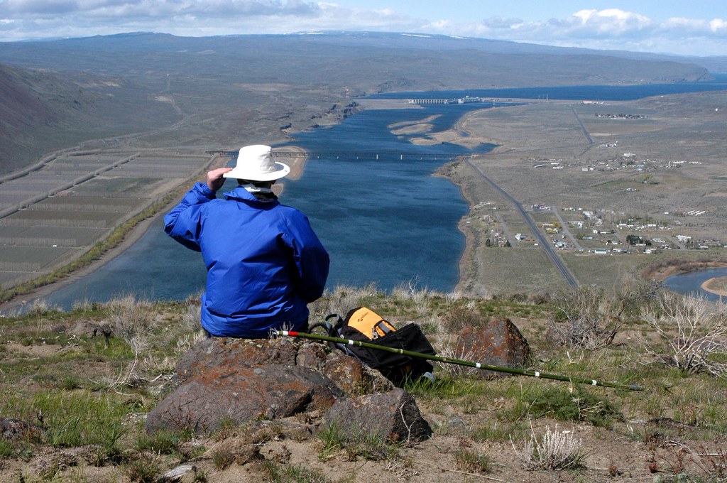
20040327_087...Self-portrait in the (windy) Saddle Mountains
6-27-11 Beverly,WA
Wanapum State Park

090531_024-View from Edison's Light
090531_022-View from Edison's Light
090531_023-View from Edison's Light

Eastern Washington Skies, 2013
Edgemont, Washington

Desert Yellow Fleabane (Erigeron linearis)

Blue Moon Over the Saddle Mountains, Washington, 2012
seasons pass and come again
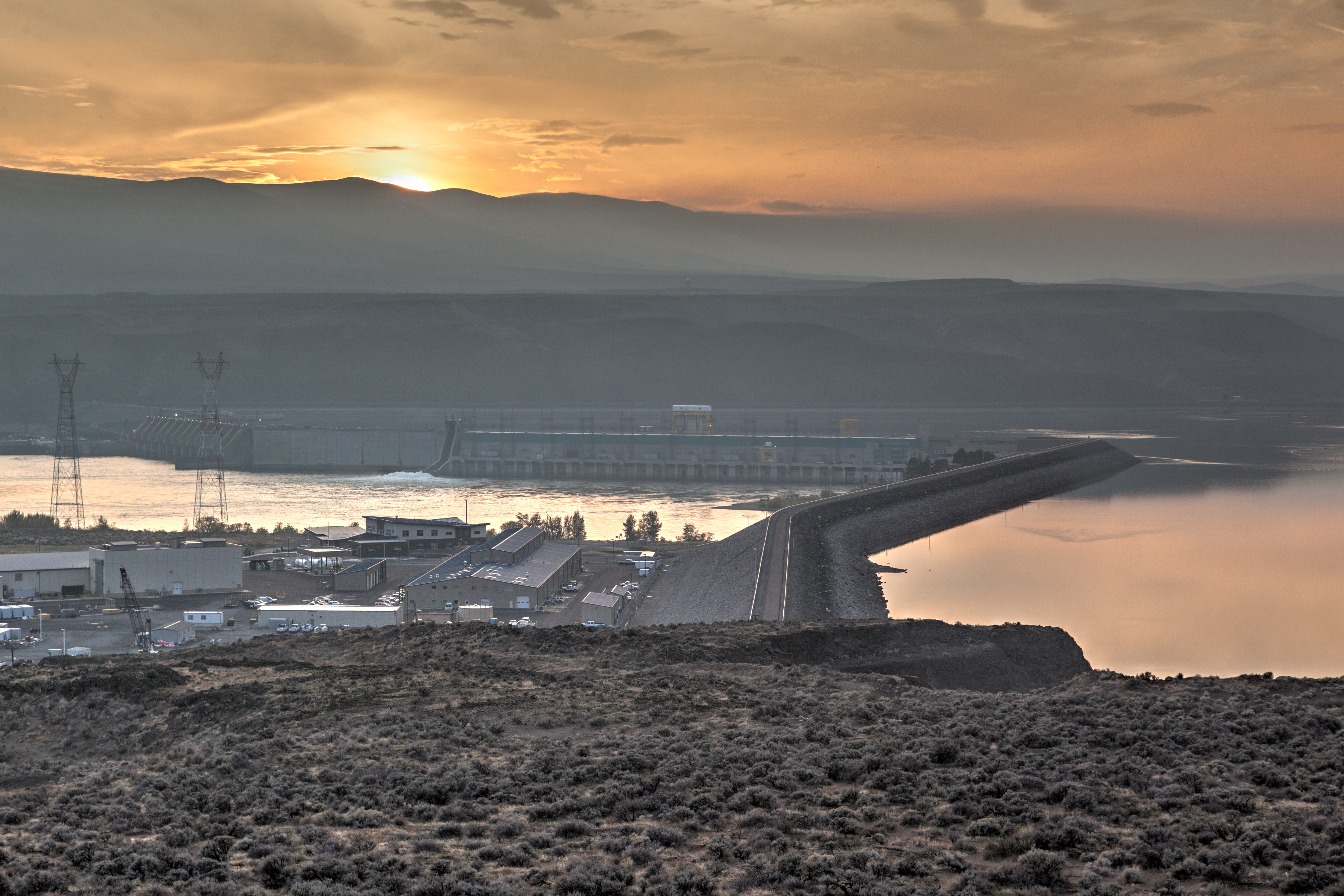
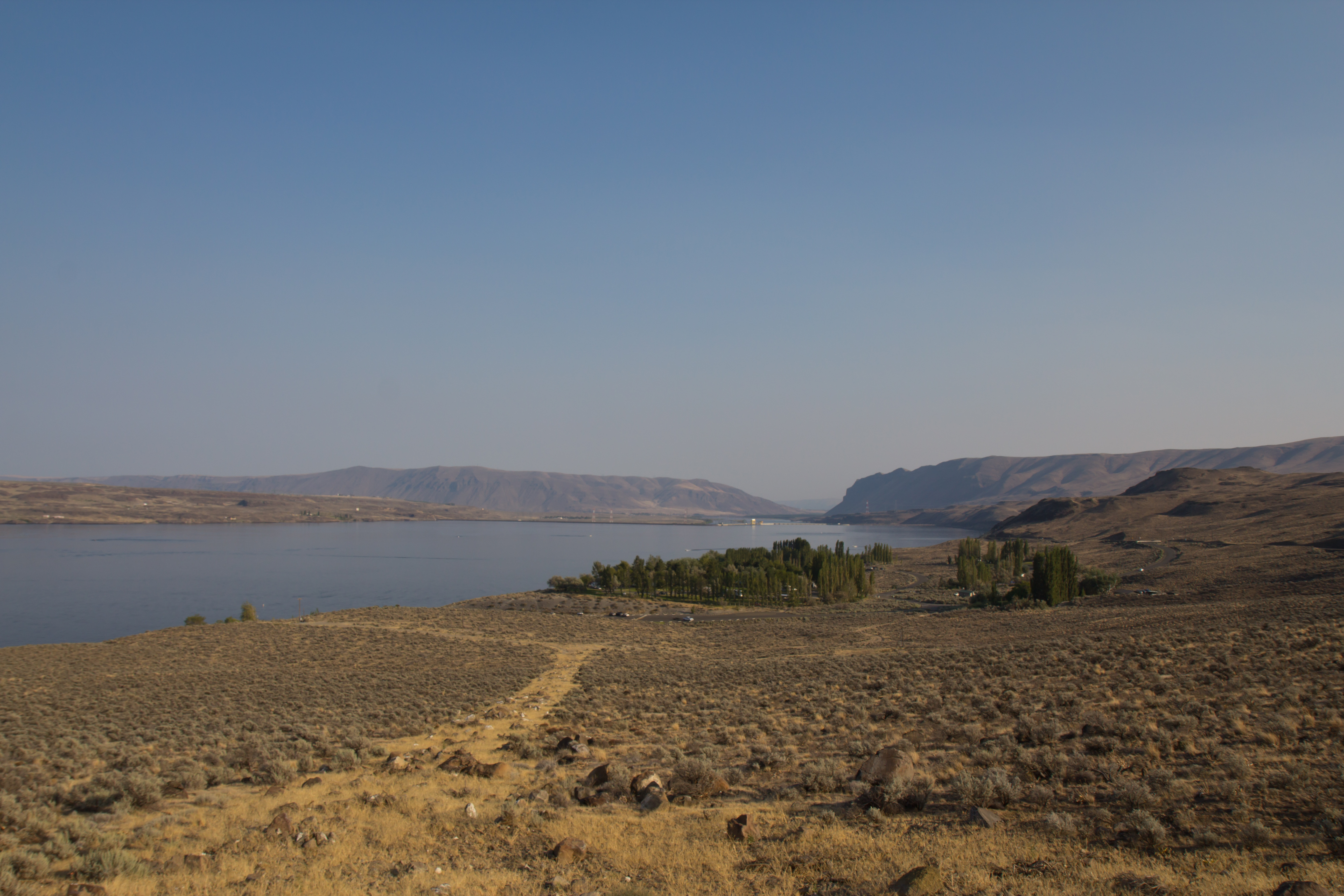
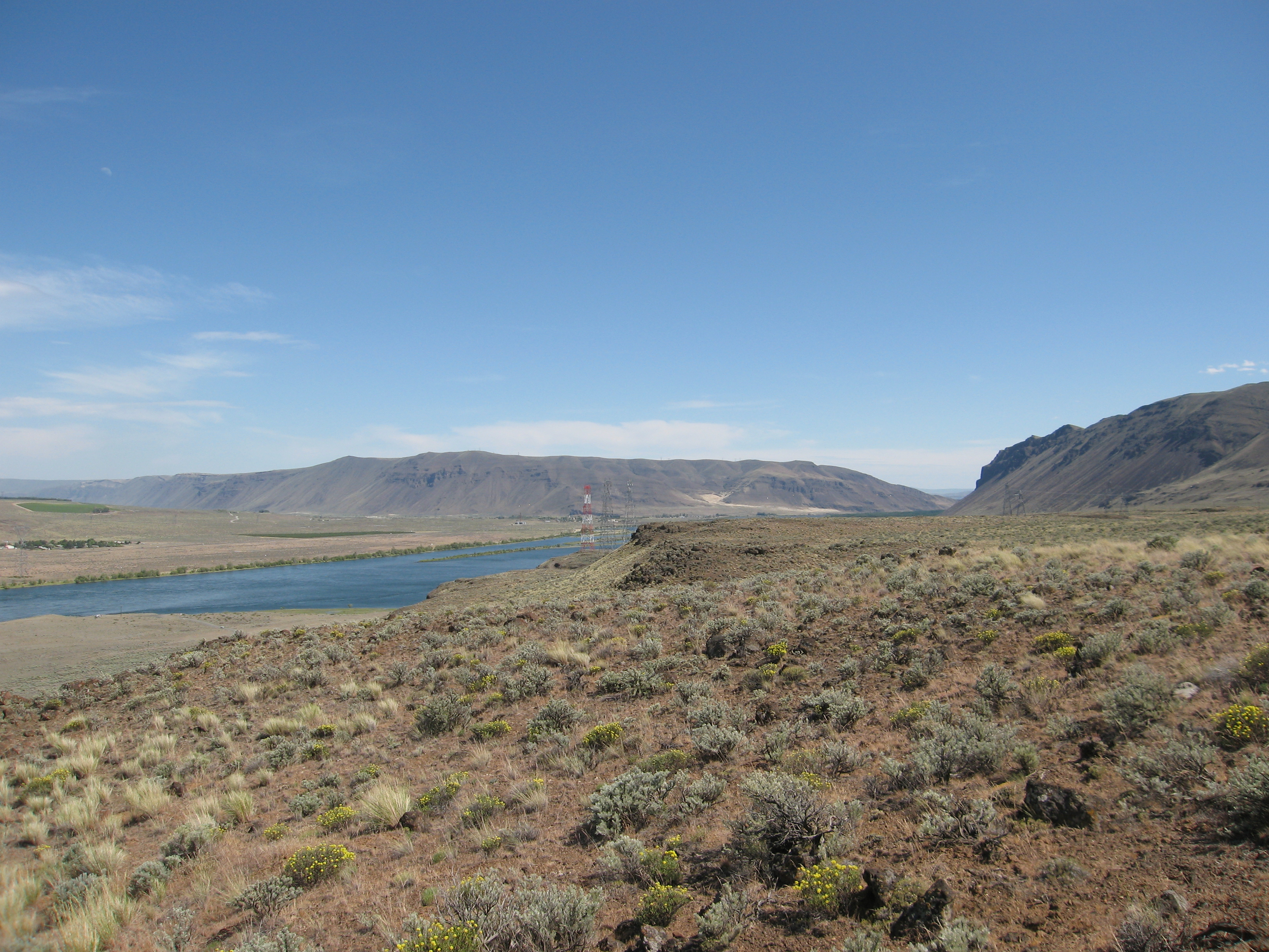
Wanapum Dam Overlook

Yakima FTX
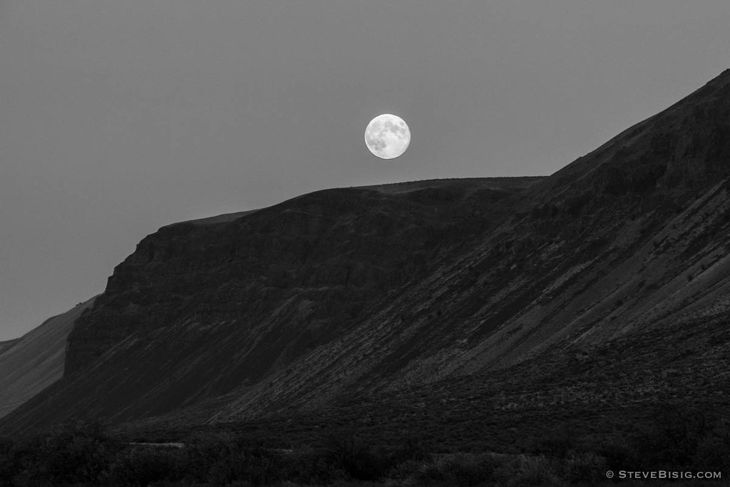
Blue Moon Over the Saddle Mountains, Washington, 2012

Warm Day
6-27-11 Beverly,WA
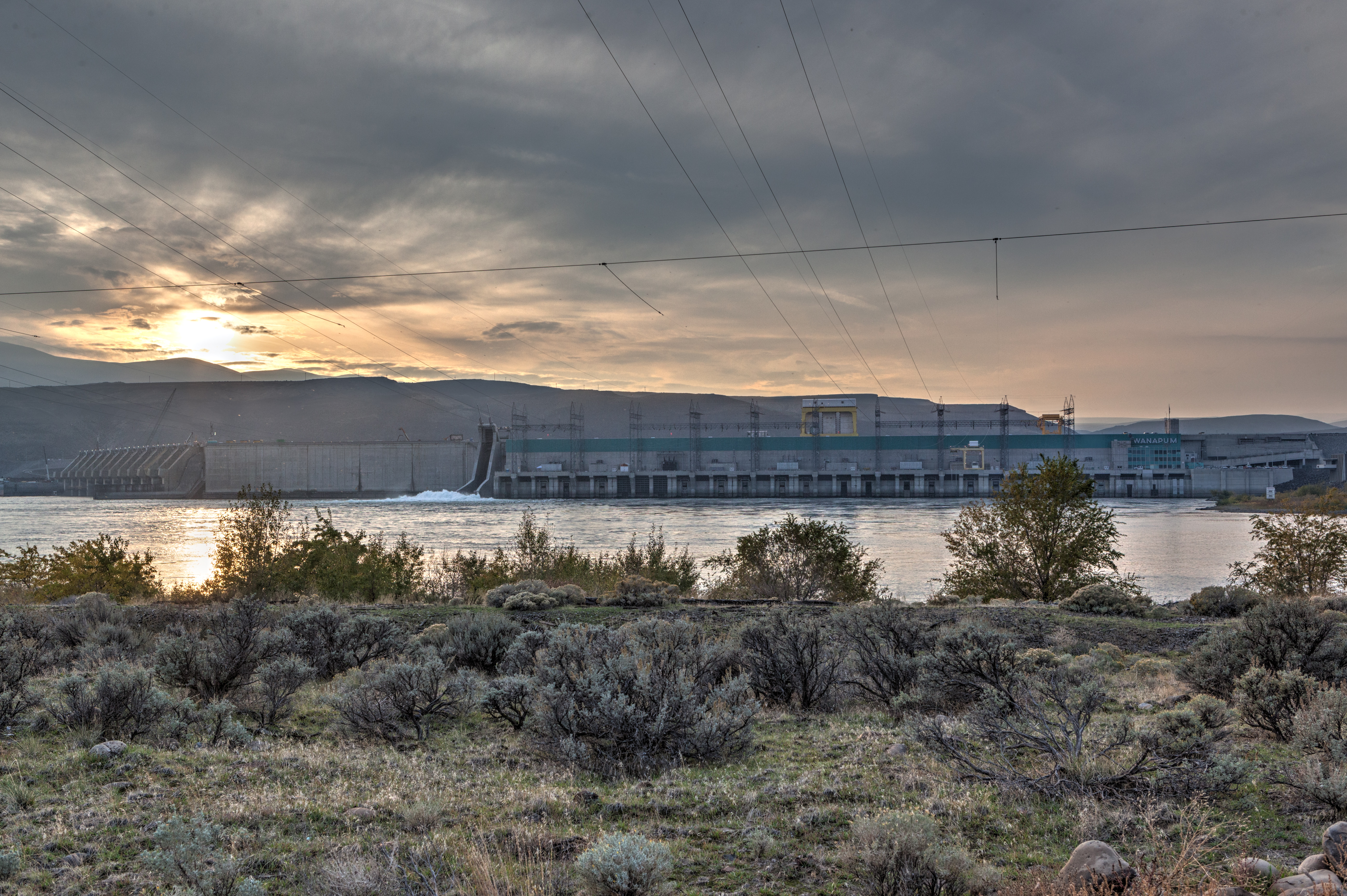
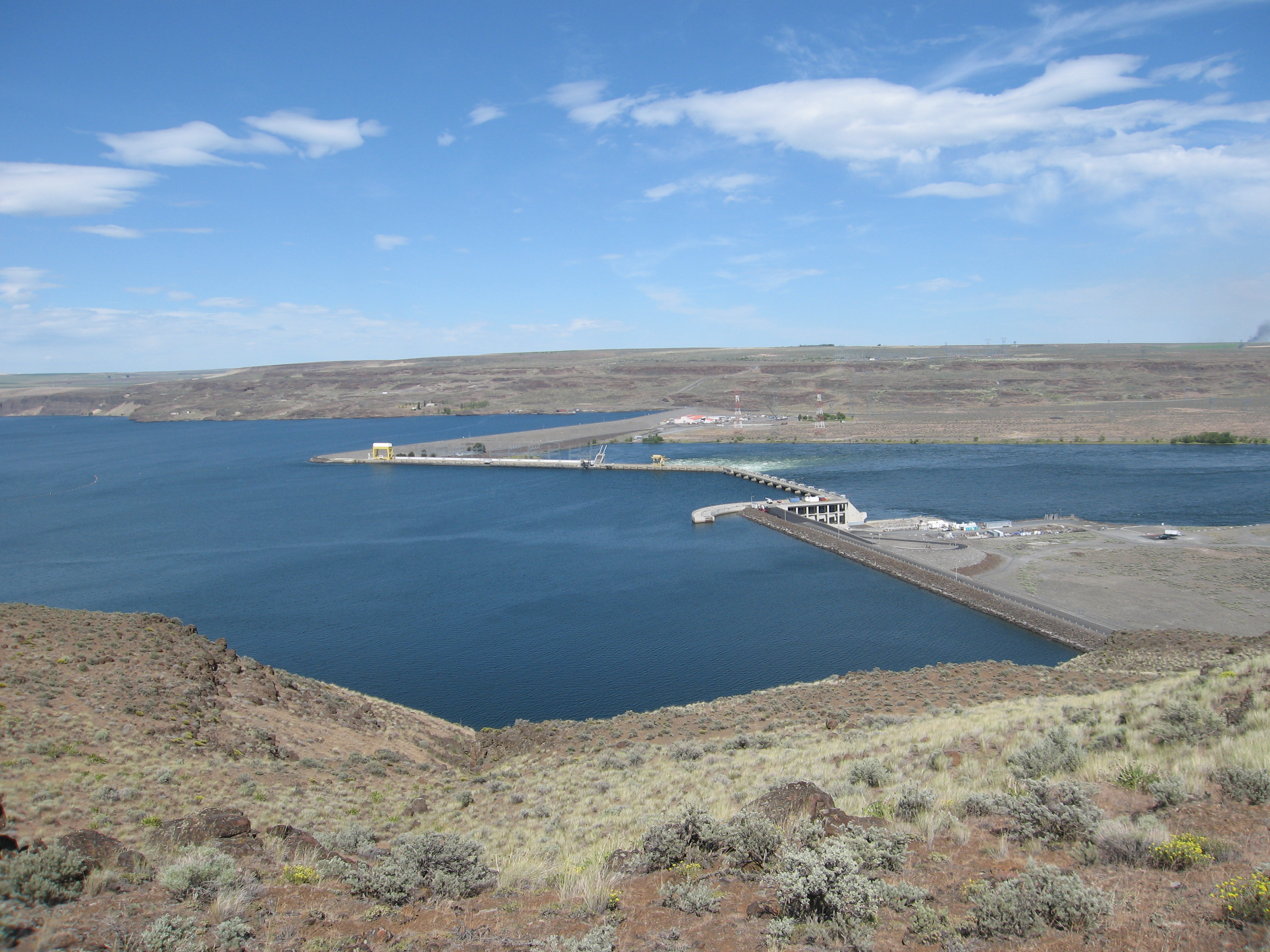
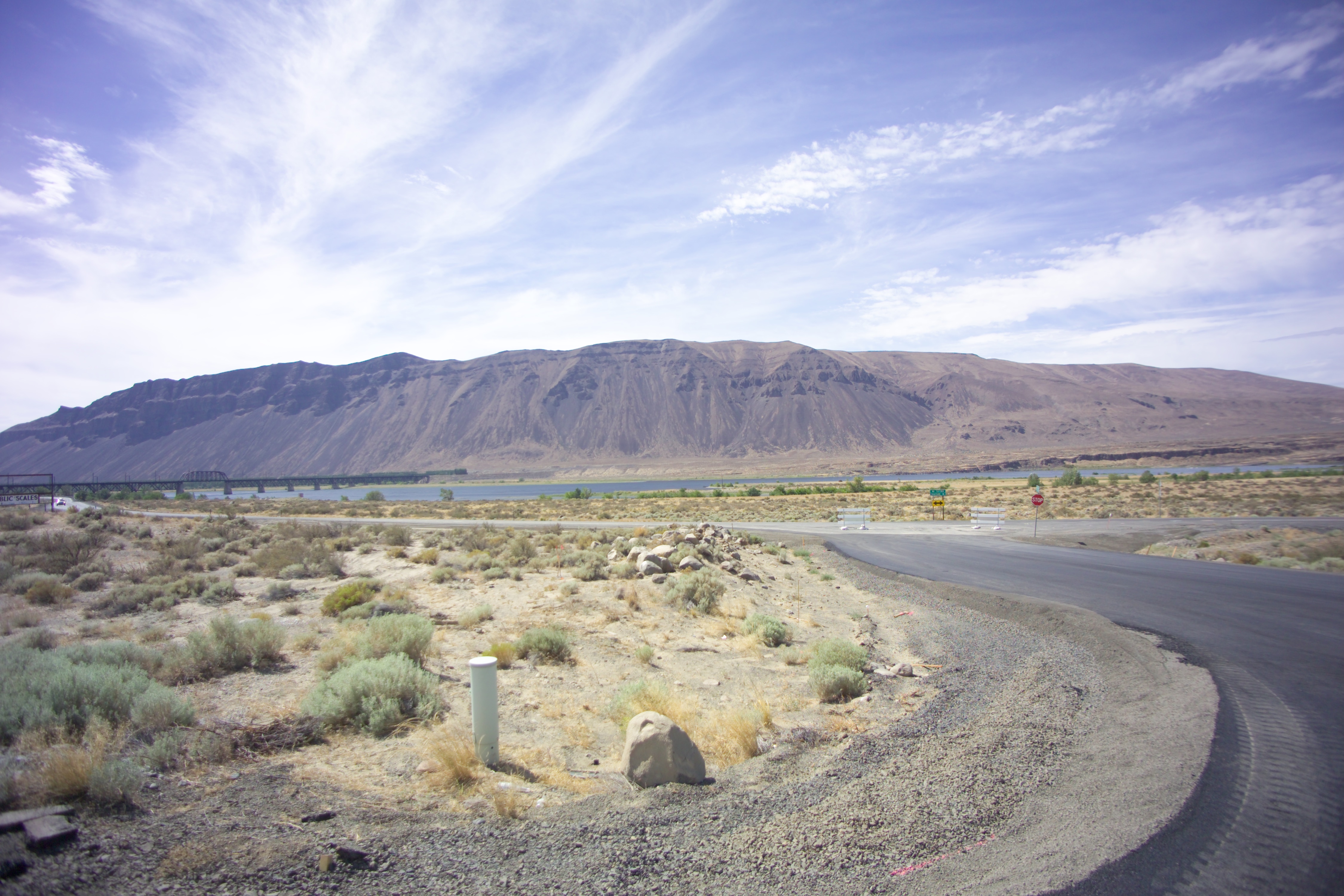
Wanapum Dam
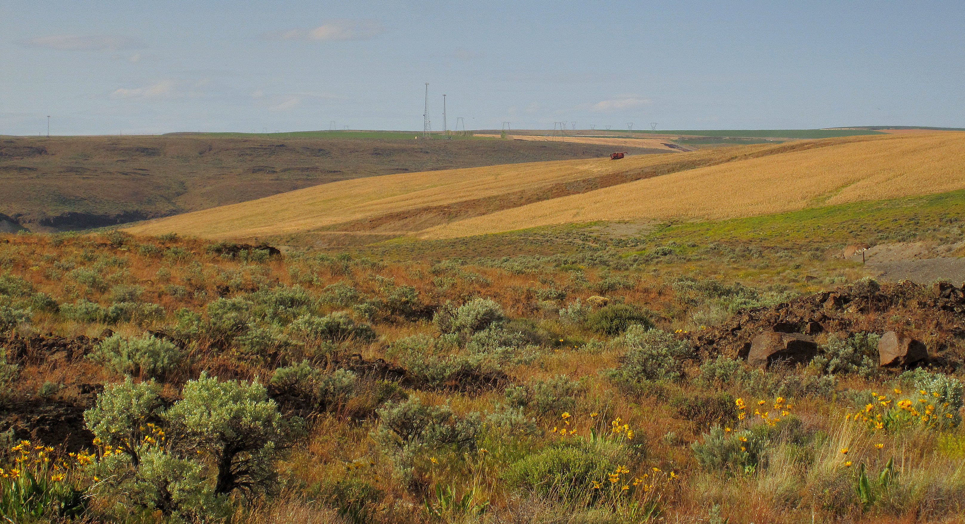
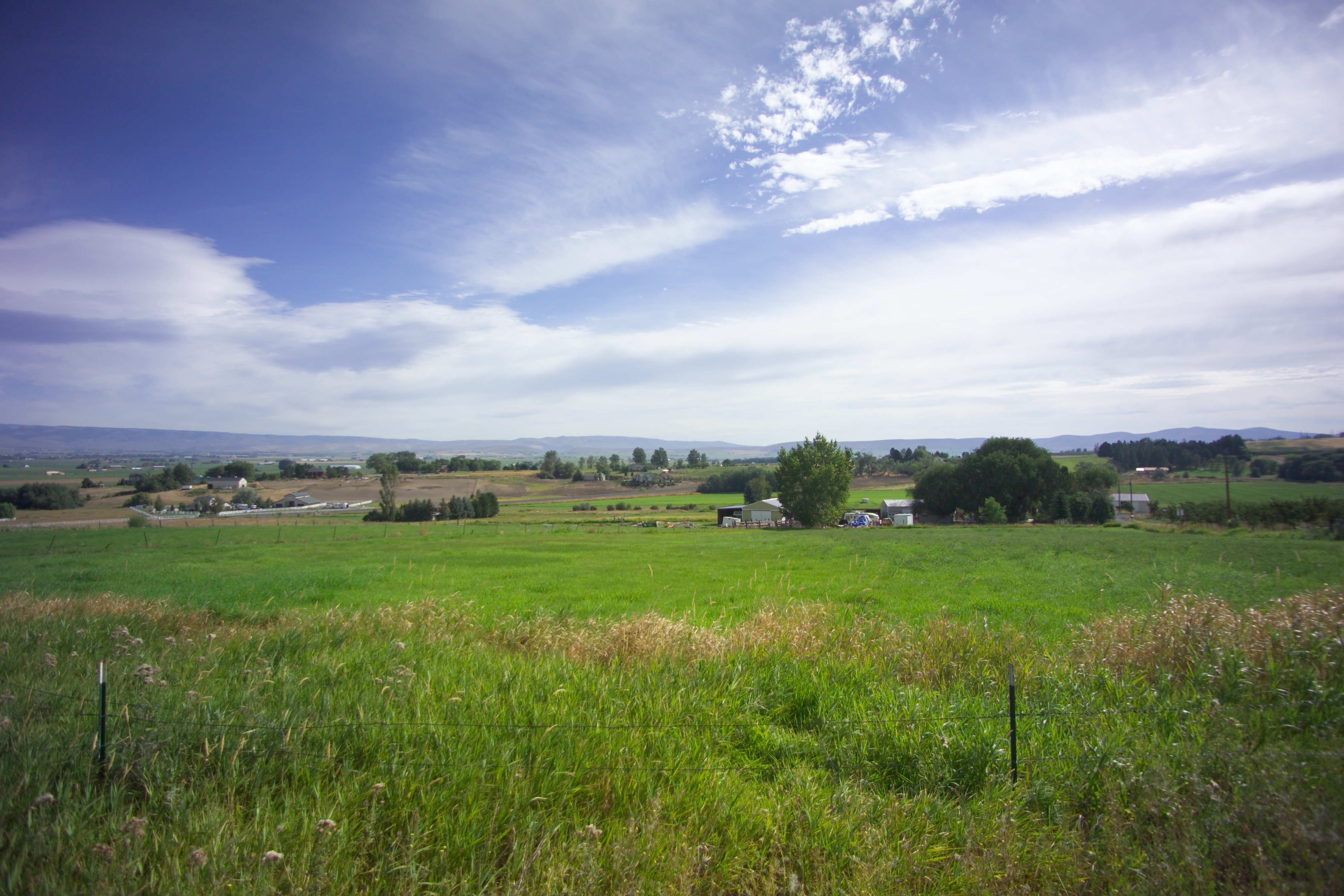
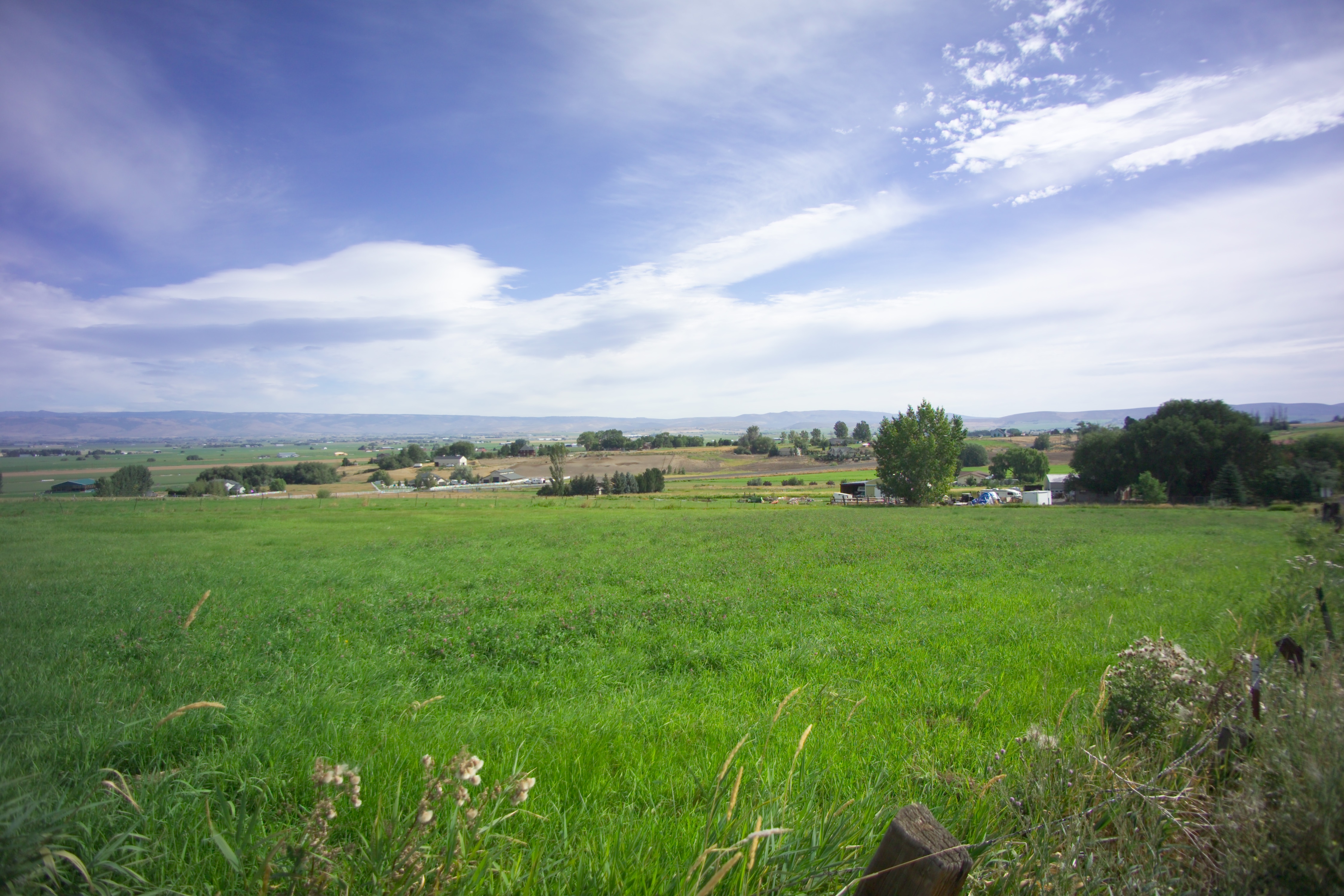
winter wheat

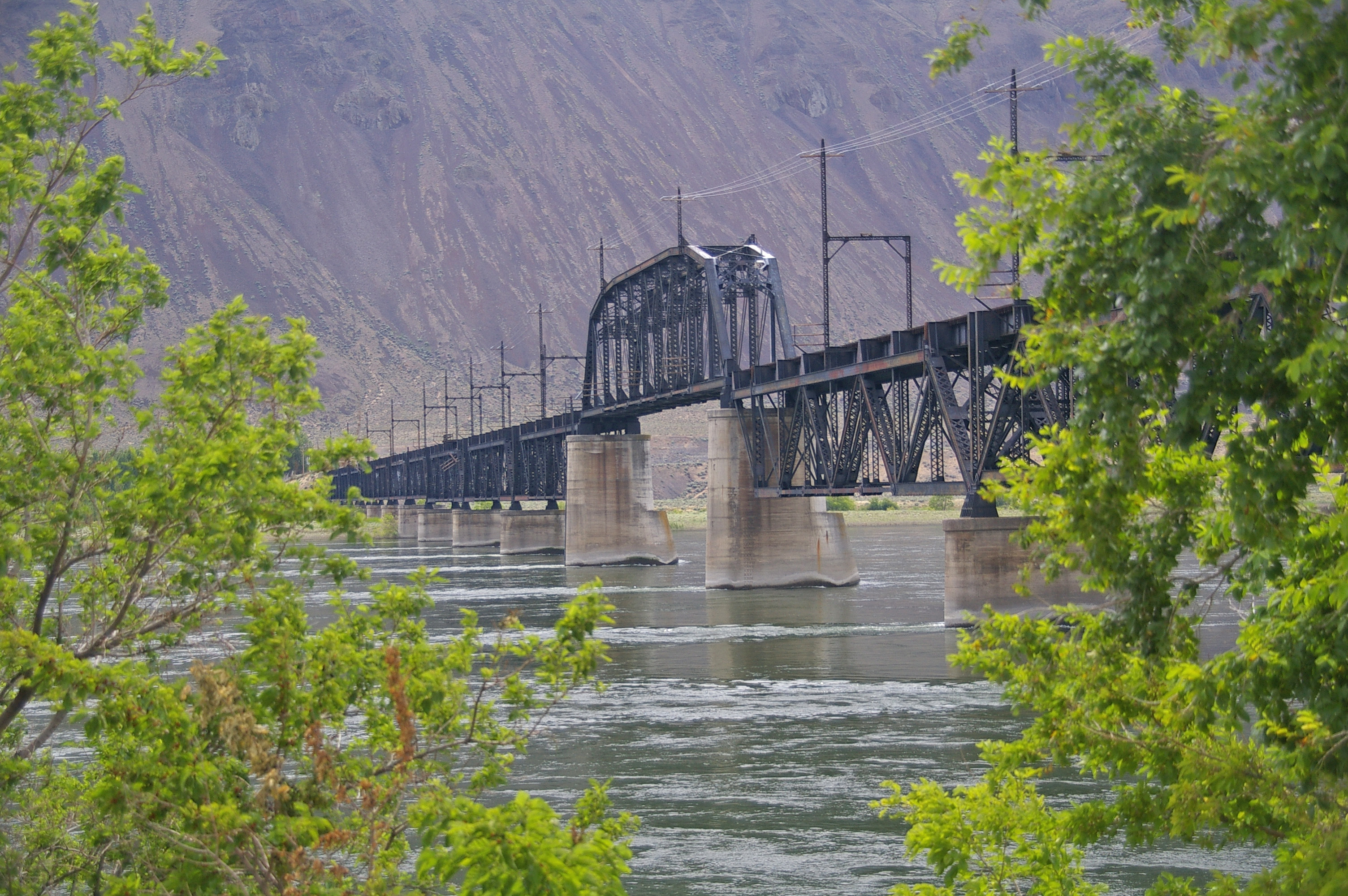
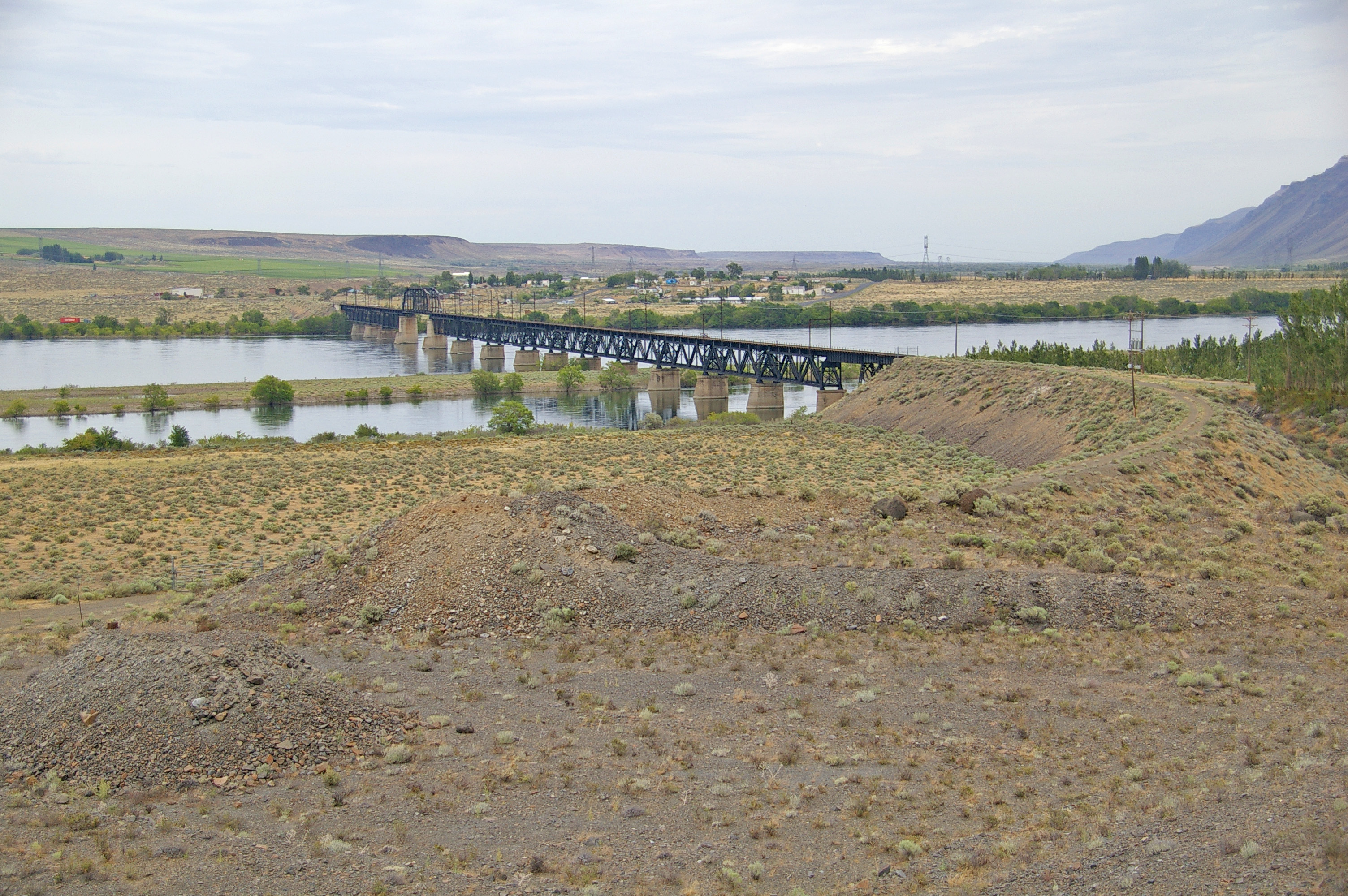
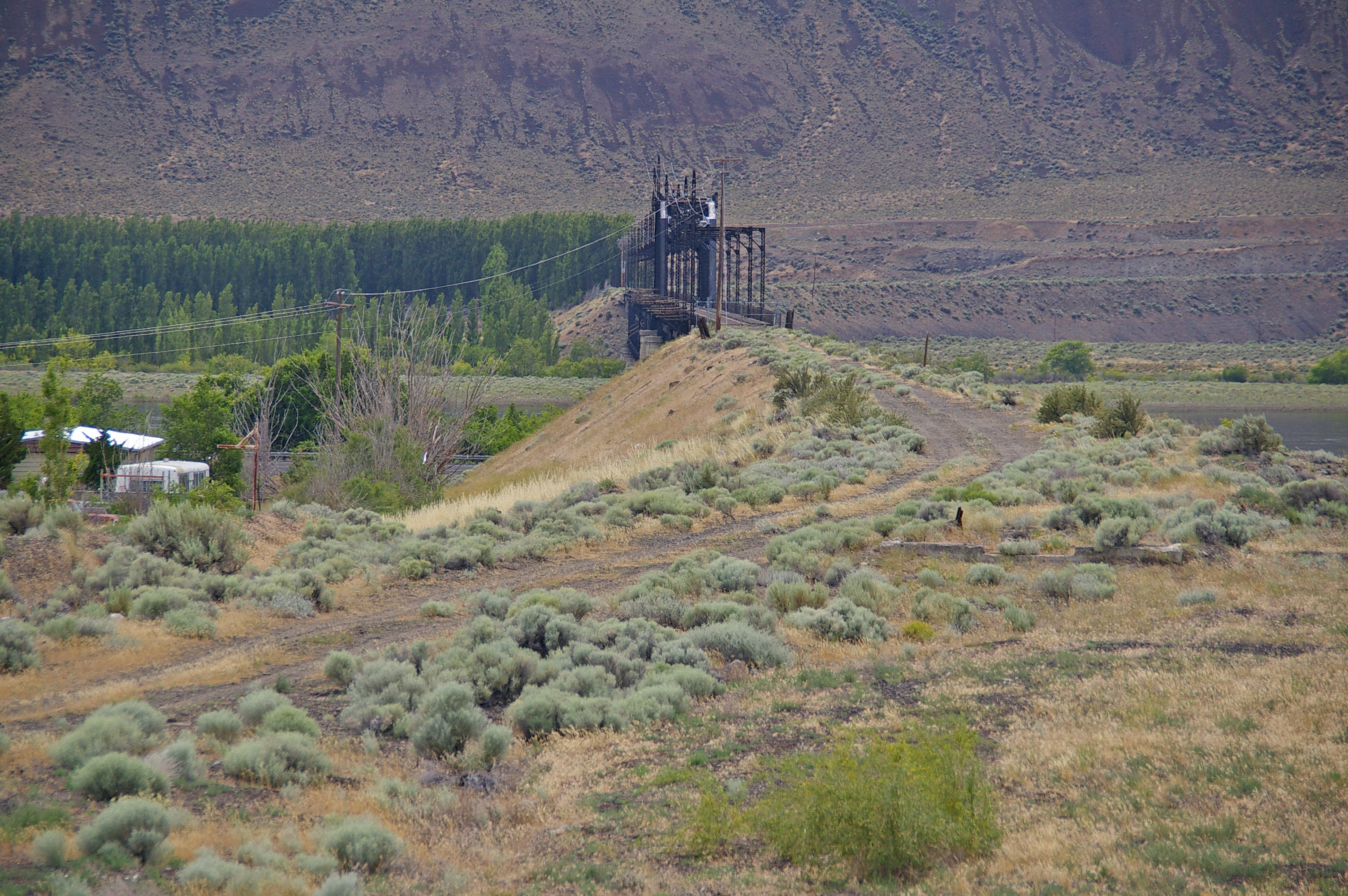
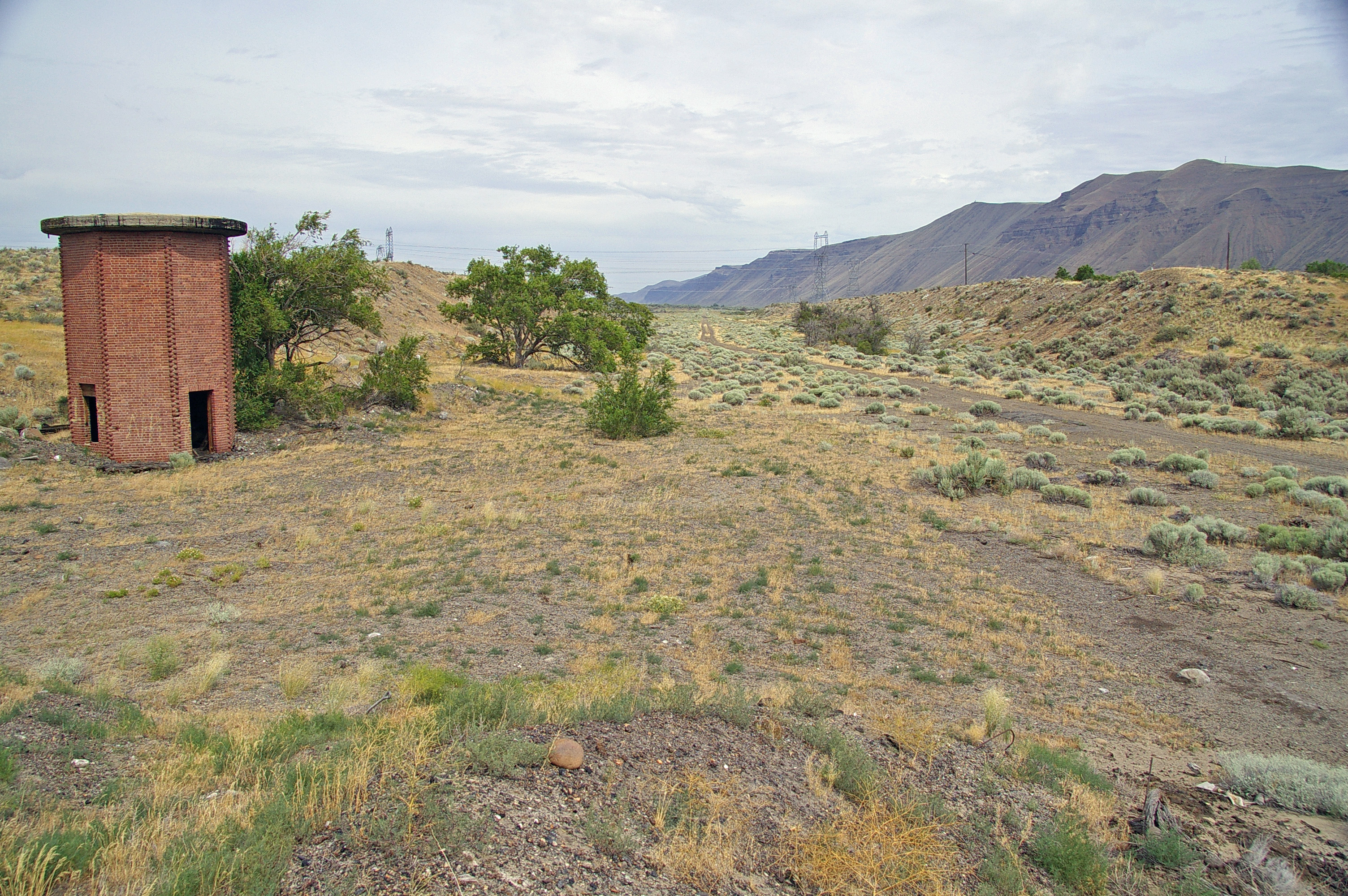
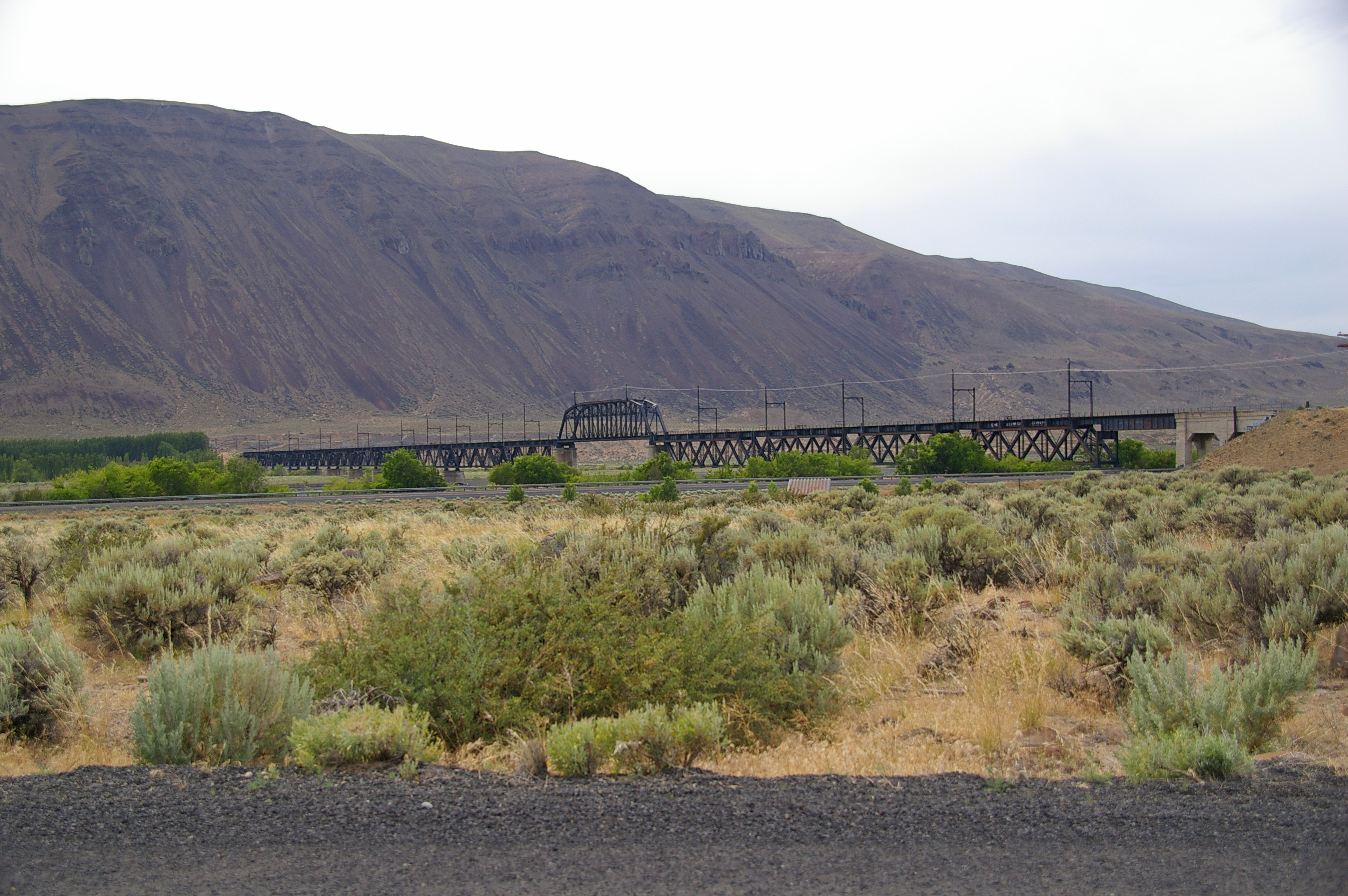
Beverly Railroad Bridge (Grant County and Kittitas County, Washington)
6-27-11 Beverly,WA
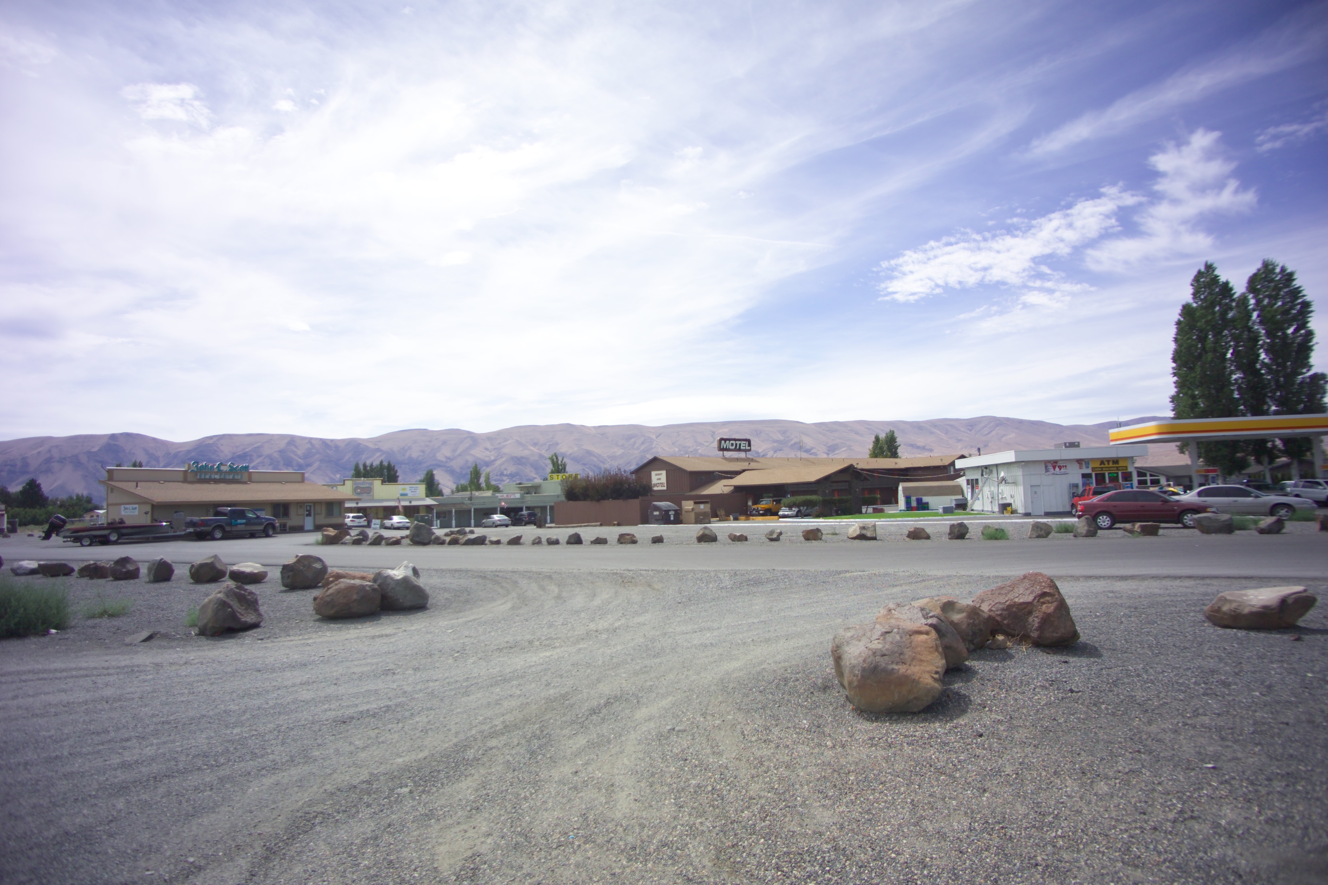
Beverly, Washington
Wampum Village, Washington
6-27-11 Beverly,WA
Edgemont, Washington
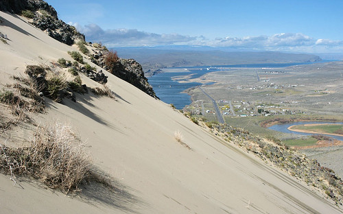
Saddle Mountain sand
Desert Aire, Washington
Topographic Map of Riverside Rd, Yakima, WA, USA
Find elevation by address:

Places near Riverside Rd, Yakima, WA, USA:
Beverly
Mattawa
WA-, Beverly, WA, USA
Apricot Pl S, Mattawa, WA, USA
Desert Aire
Vantage
81 Kittitas St
Old Vantage Highway
Umtanum Ridge
Wanapum Lake
Ryegrass Safety Rest Area Eastbound
1184 River Dr
George
Yakima River
160 Bohannon Rd N
160 Bohannon Rd N
Manastash Ridge
751 Busch Rd
751 Sun Acres Rd
9054 Crescent Bar Rd Nw Unit 13
Recent Searches:
- Elevation of Corso Fratelli Cairoli, 35, Macerata MC, Italy
- Elevation of Tallevast Rd, Sarasota, FL, USA
- Elevation of 4th St E, Sonoma, CA, USA
- Elevation of Black Hollow Rd, Pennsdale, PA, USA
- Elevation of Oakland Ave, Williamsport, PA, USA
- Elevation of Pedrógão Grande, Portugal
- Elevation of Klee Dr, Martinsburg, WV, USA
- Elevation of Via Roma, Pieranica CR, Italy
- Elevation of Tavkvetili Mountain, Georgia
- Elevation of Hartfords Bluff Cir, Mt Pleasant, SC, USA