Elevation of Wanapum Lake, Washington, USA
Location: United States > Washington >
Longitude: -120.01620
Latitude: 47.054572
Elevation: 183m / 600feet
Barometric Pressure: 99KPa
Elevation Map:
Satellite Map:
Related Photos:

Wild Horses ~ Washington State ~ USA ~ Overlook Site
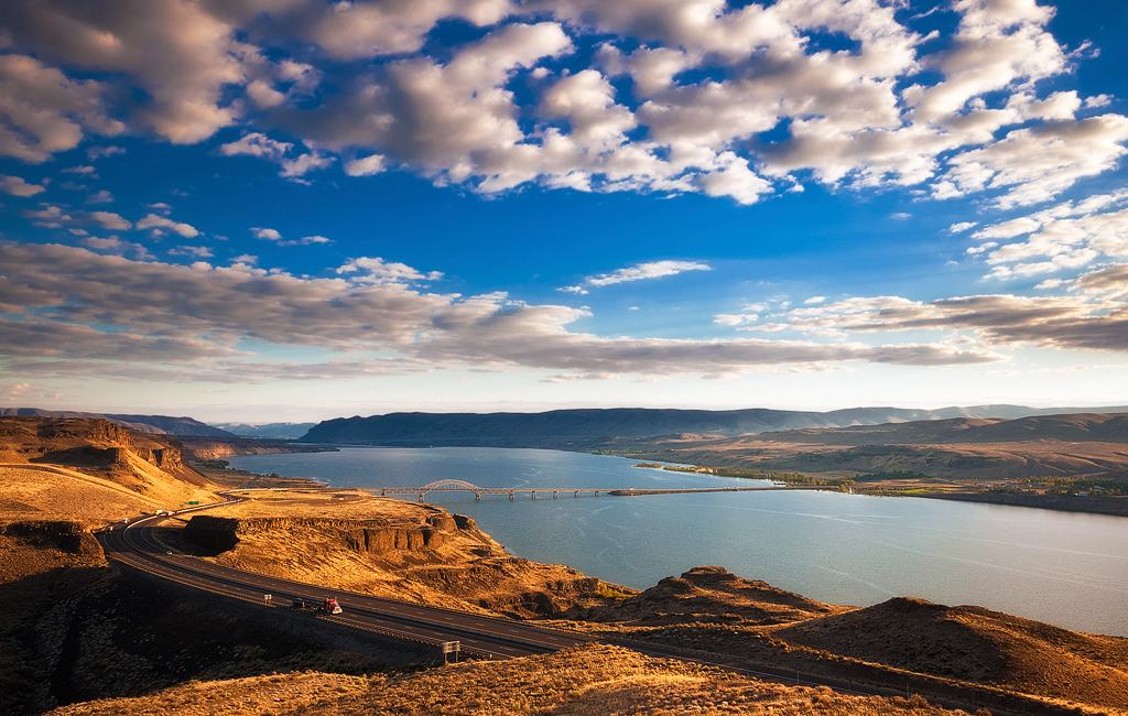
Vantage Viewpoint
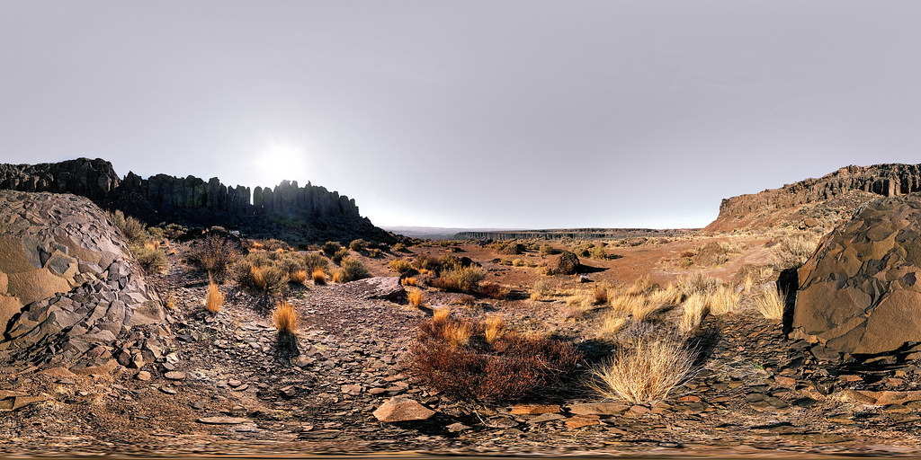
The Feathers - Basalt Formation in Frenchman Coulee

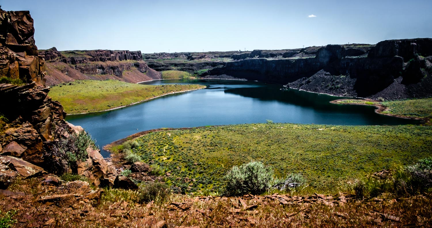
Lake, Potholes Coulee, Washington, Spring 2017
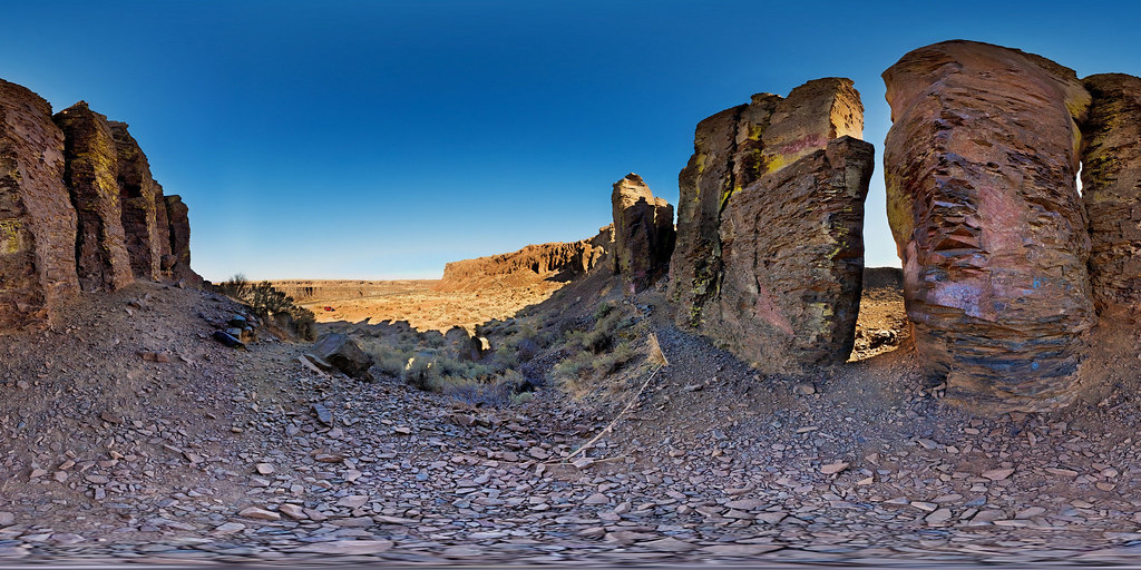
Peeking Through the Feathers
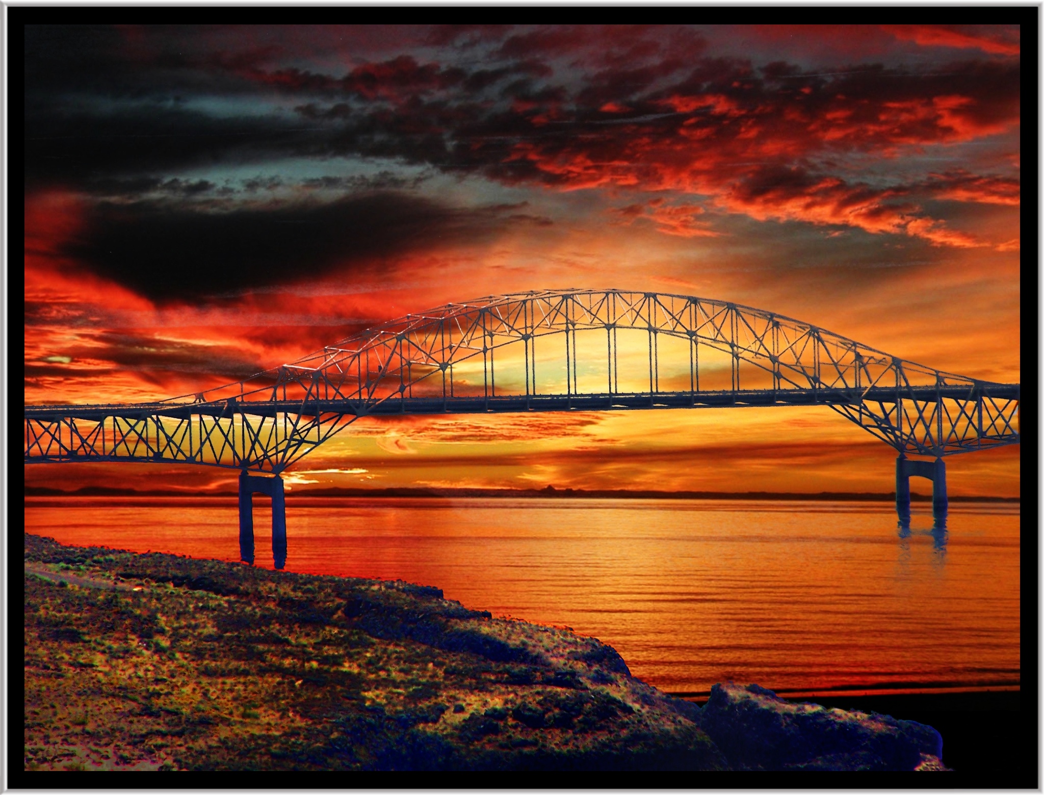
Vantage Bridge ~ Columbia River in Washington State ~ Series Going Home To Toronto Canada
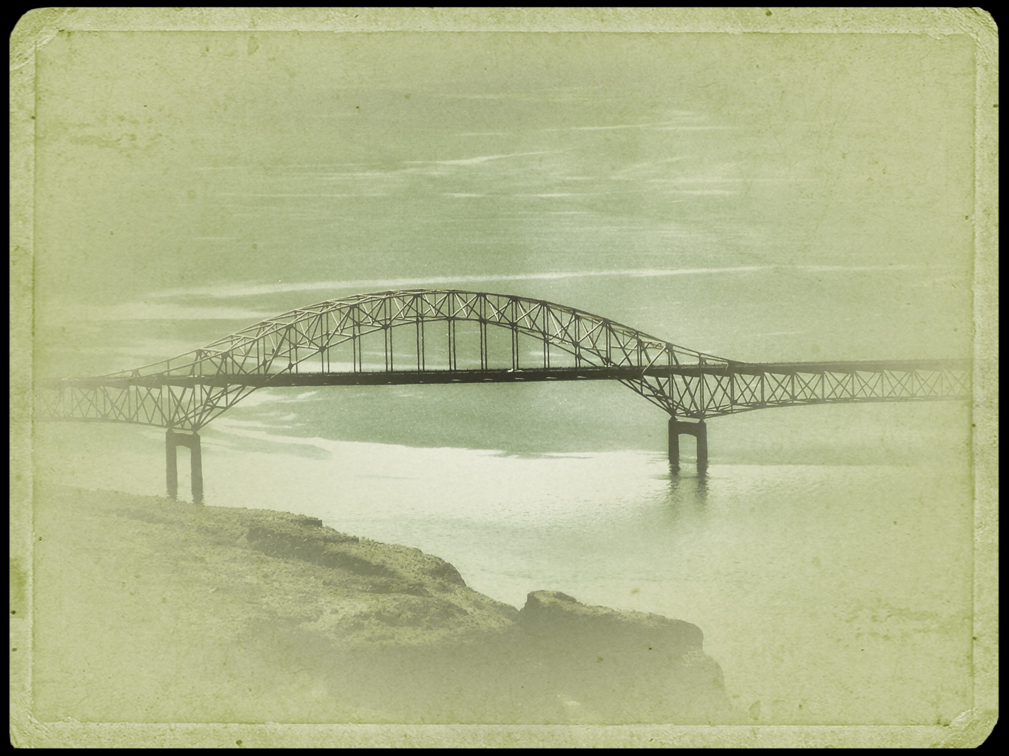
Vantage Washington ~ Vantage Bridge ~ Columbia River in Washington State ~ Foggy

Above Dusty Lake
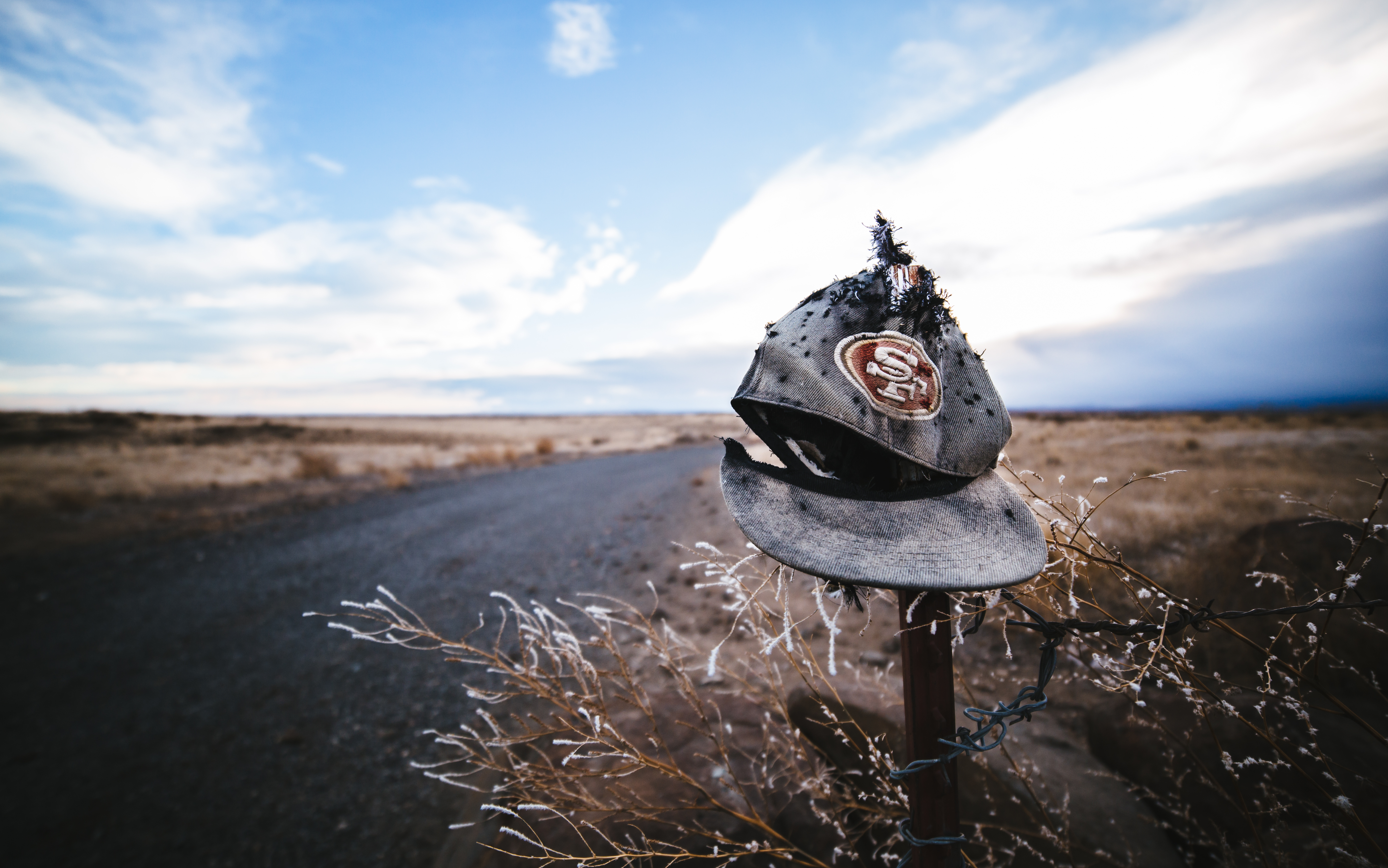
Not Super Bowl Bound
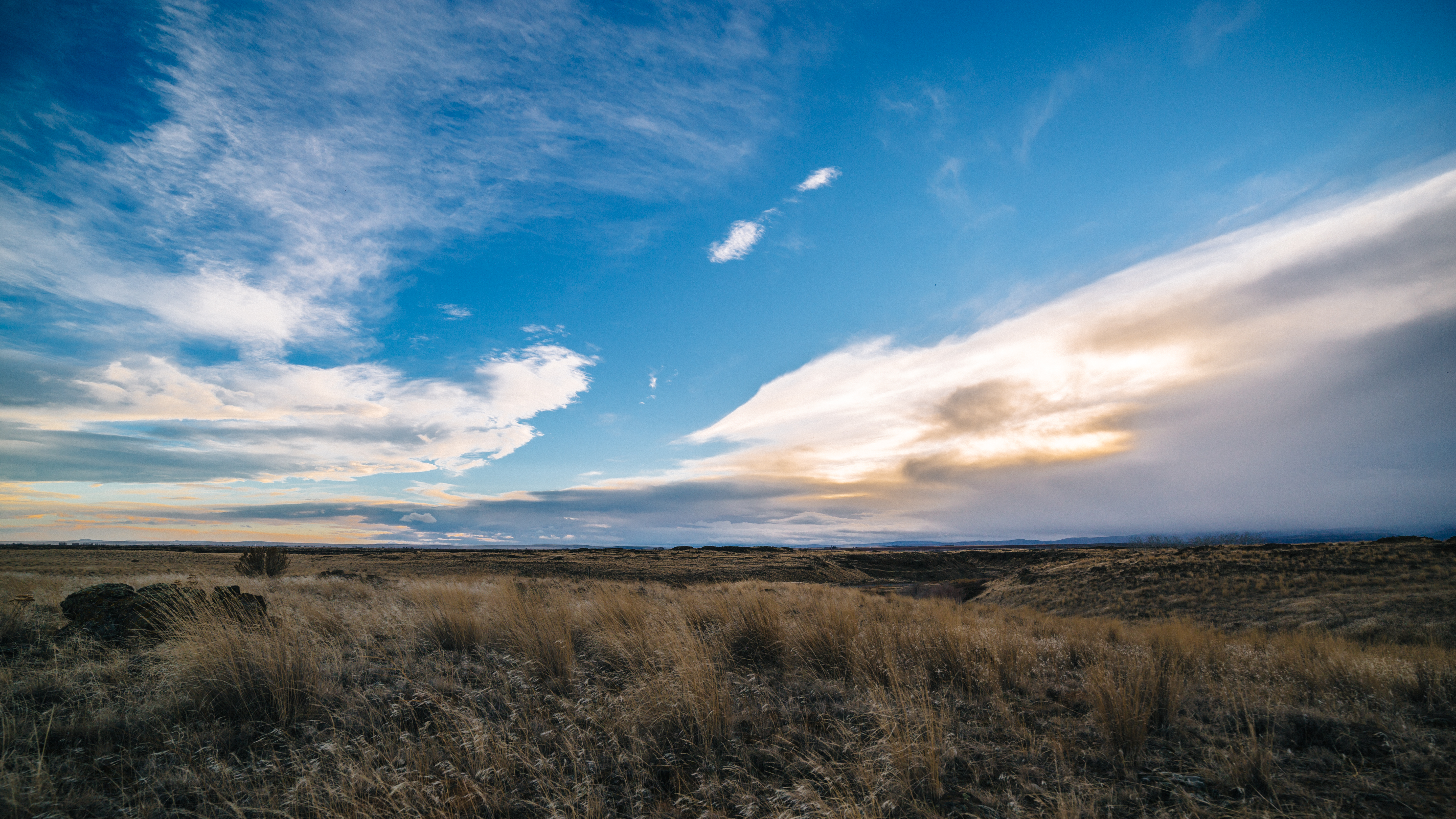
The Storm Warning

Vantage, Washington
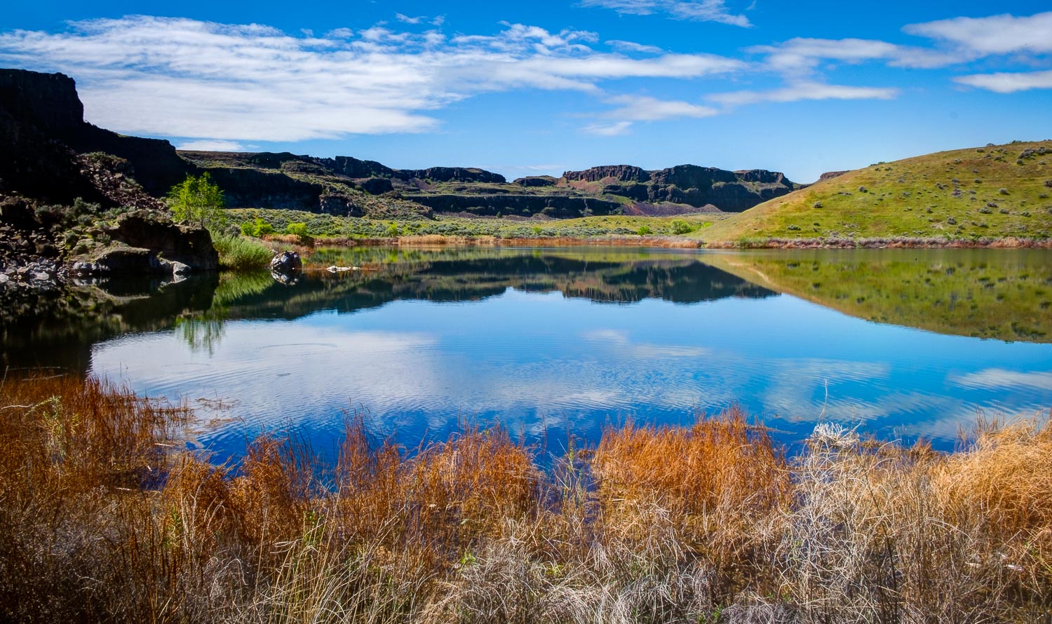
Dusty Lake
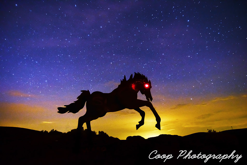
Wild Horse Monument Sundown
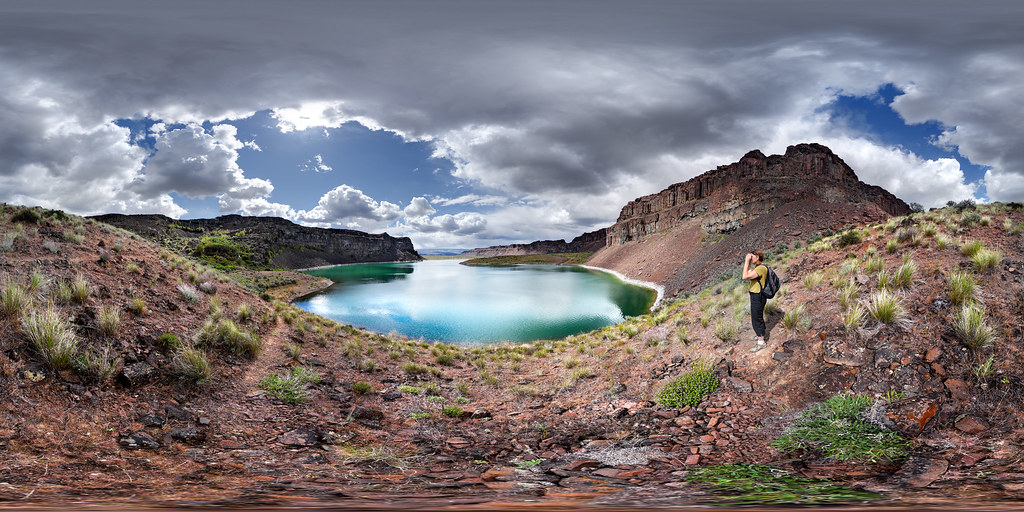
Dusty Lake, Potholes Coulee, Washington

Walking back to the campsite on the last night

Vantage Viewpoint
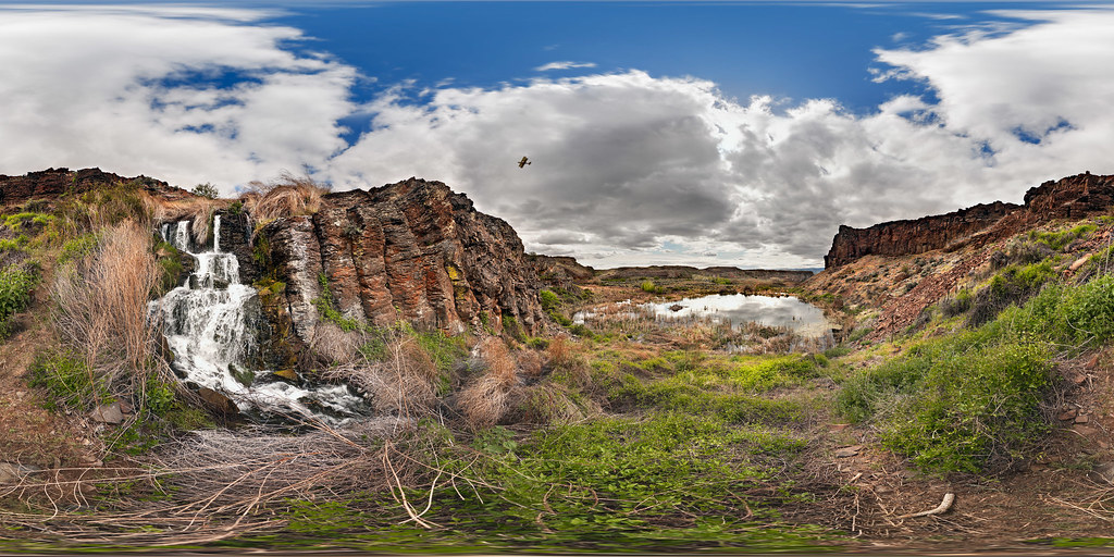
Potholes Coulee with Waterfall, Biplane, Beaver Lodge and Rain Approaching

Sunset at the Gorge

Vantage, Washington

Columbia River in Washington
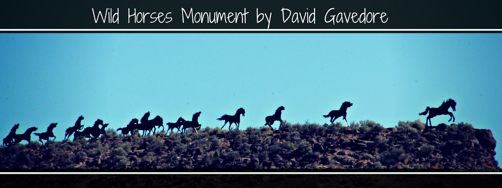
Wild Horses Monument~EXPLORED~
Whenever you call
Heavy Metal Stampede

Dusty Lake, Potholes Coulee, Washington, Spring 2017

Twilight Vantage

Spring Seep Lake, Potholes Coulee, Washington, 2017
Wanapum Vista

flickr_20160524_095308_IMG_5848-Pano
Waterfall Photographer

Ancient Lake Shoreline Study

A majestic poo

Coulee Waterfall
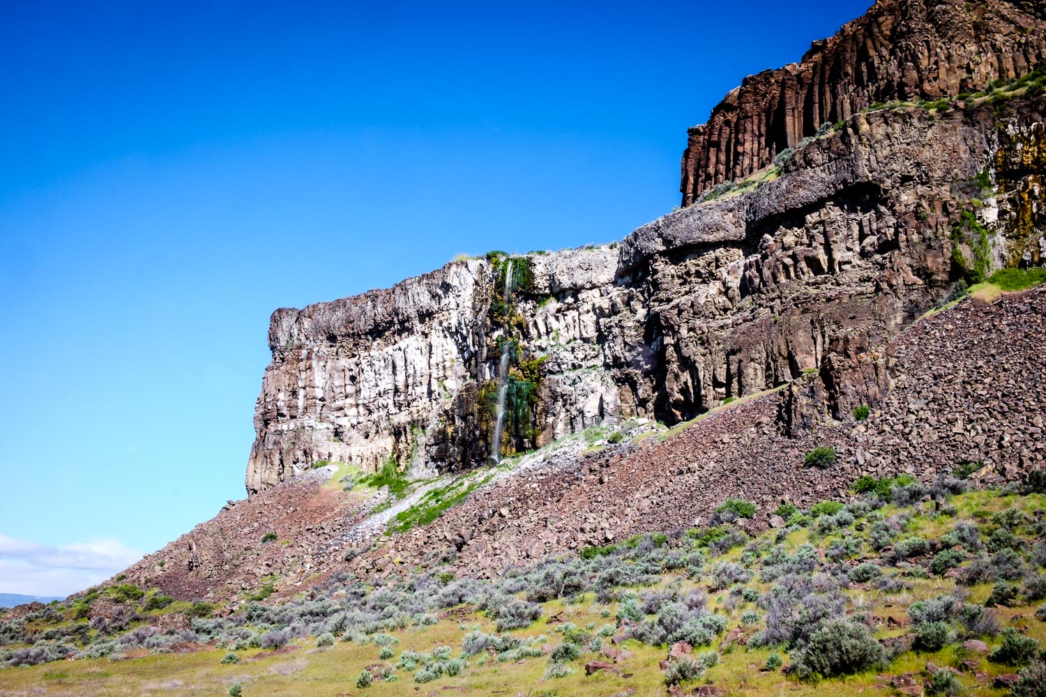
Coulee Waterfall
Ancient Lake

frenchman coulee
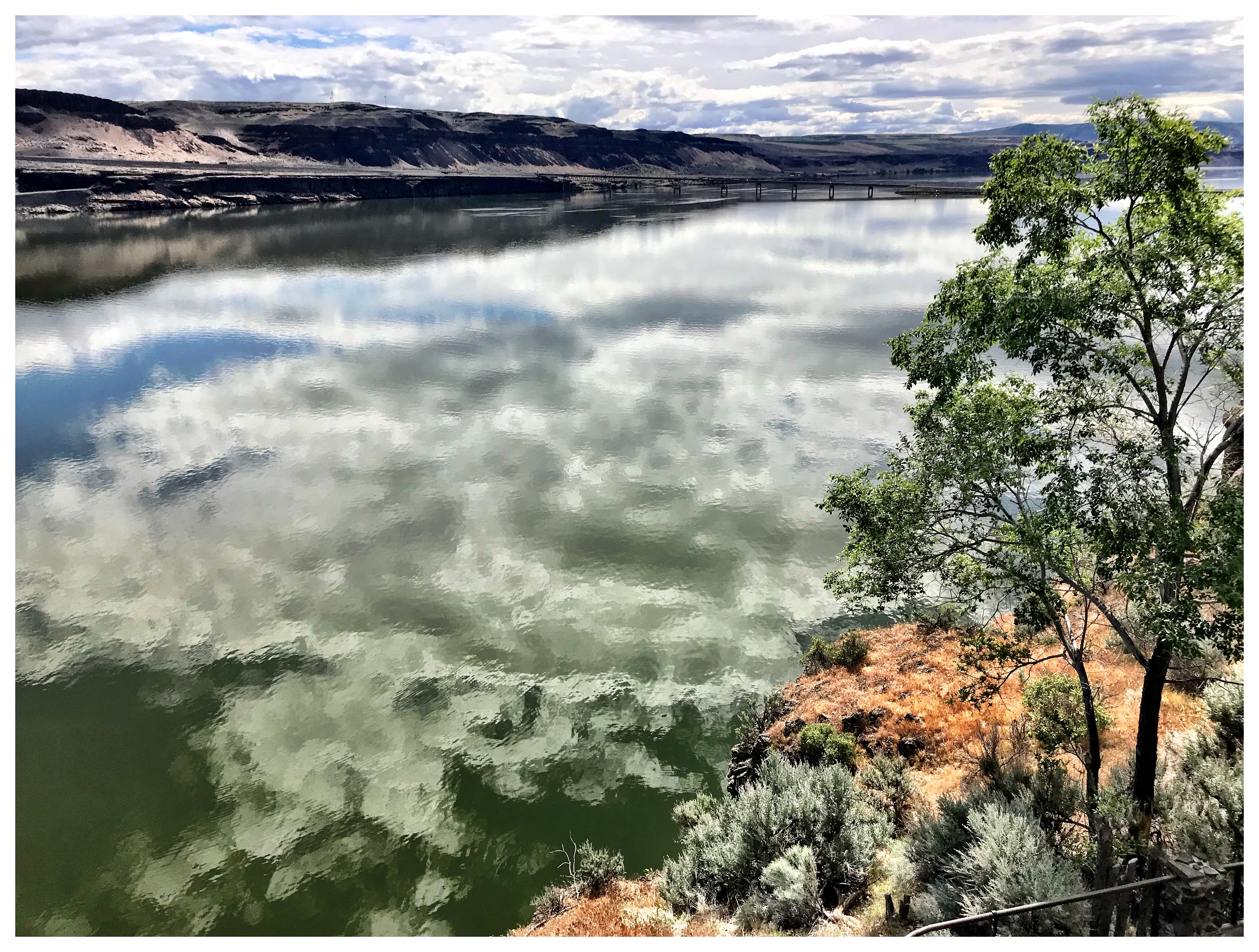
Columbia River Bridge at Vantage
Topographic Map of Wanapum Lake, Washington, USA
Find elevation by address:

Places near Wanapum Lake, Washington, USA:
1184 River Dr
Old Vantage Highway
81 Kittitas St
Vantage
George
9054 Crescent Bar Rd Nw Unit 13
9054 Crescent Bar Rd Nw
23572 Sunserra Loop #4
23572 Sunserra Loop #2
9252 Crescent Bar Rd Nw
Rd 9.7 Nw & Rd W 8 Nw
Rd 9.8 Nw & Rd W 8 Nw
Crescent Bar Rd NW, Quincy, WA, USA
Trinidad
WA-, Beverly, WA, USA
Ryegrass Safety Rest Area Eastbound
8524 Wa-281
Wa-281 & Rd 9 Nw
Beverly
24 F St Sw
Recent Searches:
- Elevation of Felindre, Swansea SA5 7LU, UK
- Elevation of Leyte Industrial Development Estate, Isabel, Leyte, Philippines
- Elevation of W Granada St, Tampa, FL, USA
- Elevation of Pykes Down, Ivybridge PL21 0BY, UK
- Elevation of Jalan Senandin, Lutong, Miri, Sarawak, Malaysia
- Elevation of Bilohirs'k
- Elevation of 30 Oak Lawn Dr, Barkhamsted, CT, USA
- Elevation of Luther Road, Luther Rd, Auburn, CA, USA
- Elevation of Unnamed Road, Respublika Severnaya Osetiya — Alaniya, Russia
- Elevation of Verkhny Fiagdon, North Ossetia–Alania Republic, Russia