Elevation of River Ridge Drive, River Ridge Dr, Fort Chiswell, VA, USA
Location: United States > Virginia > Wythe County > Fort Chiswell > Max Meadows >
Longitude: -80.839386
Latitude: 36.9003213
Elevation: 642m / 2106feet
Barometric Pressure: 94KPa
Elevation Map:
Satellite Map:
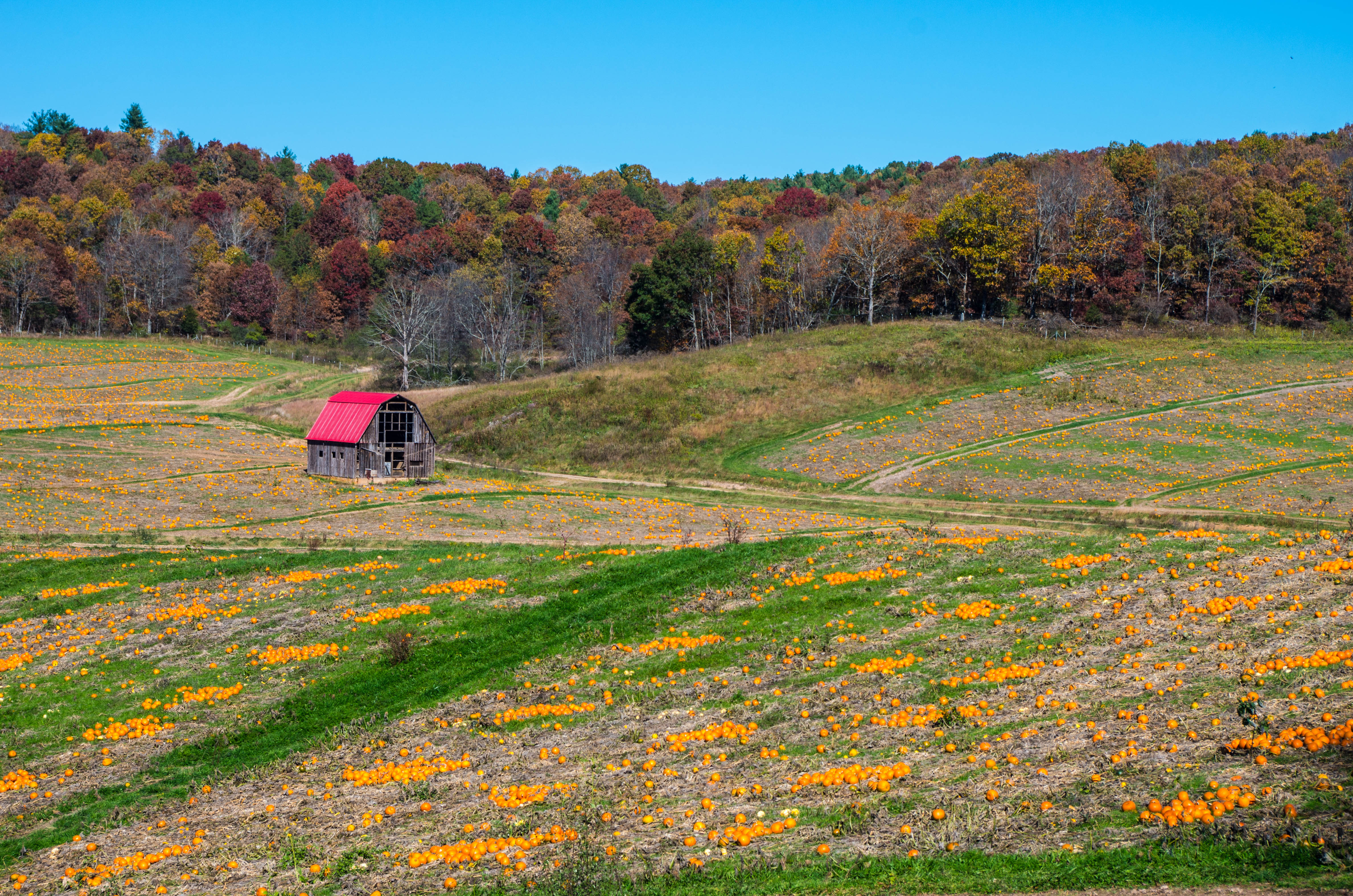
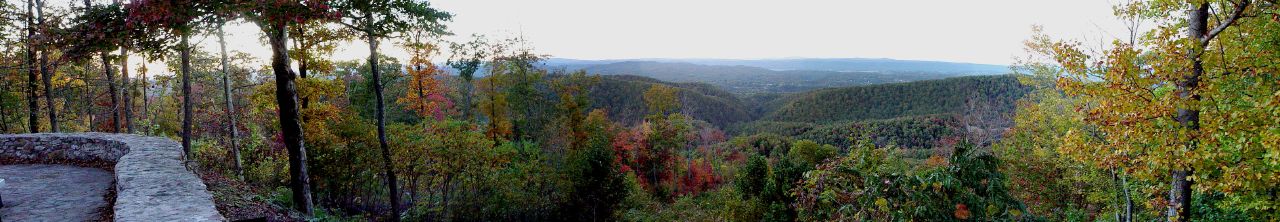
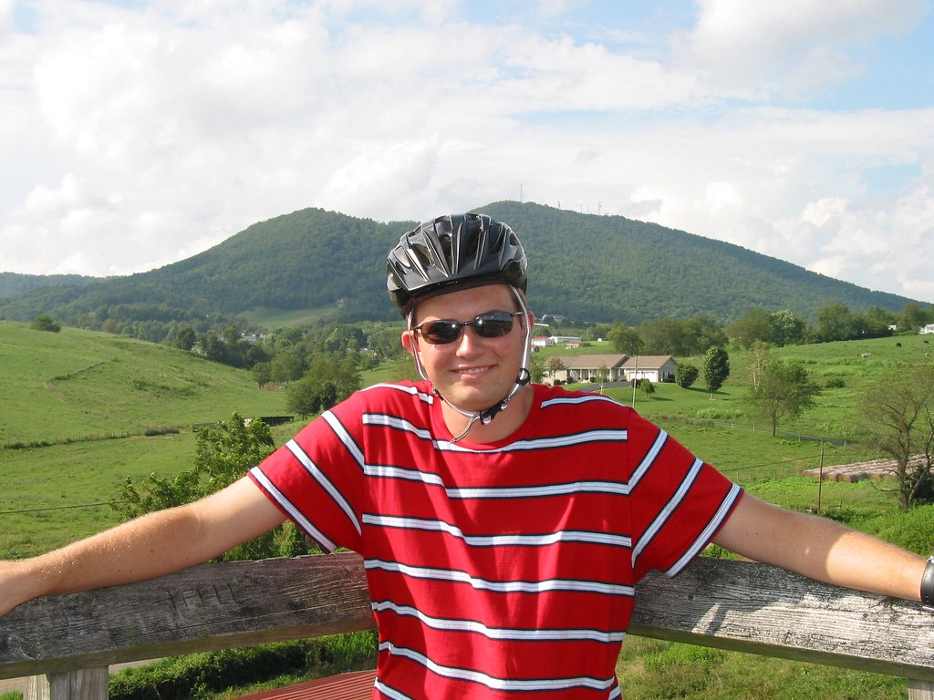
Related Photos:
#travel #wanderlust #trip #vacation #travelgram #holiday #instatravel #beautiful #travelling #instagood #vsco #photooftheday #tourism #usa #picoftheday #travelphotography #roadtrip #vscocam #view #traveling #summer #road #explore #driving #ontheroad #amer
New River Rail/Trail
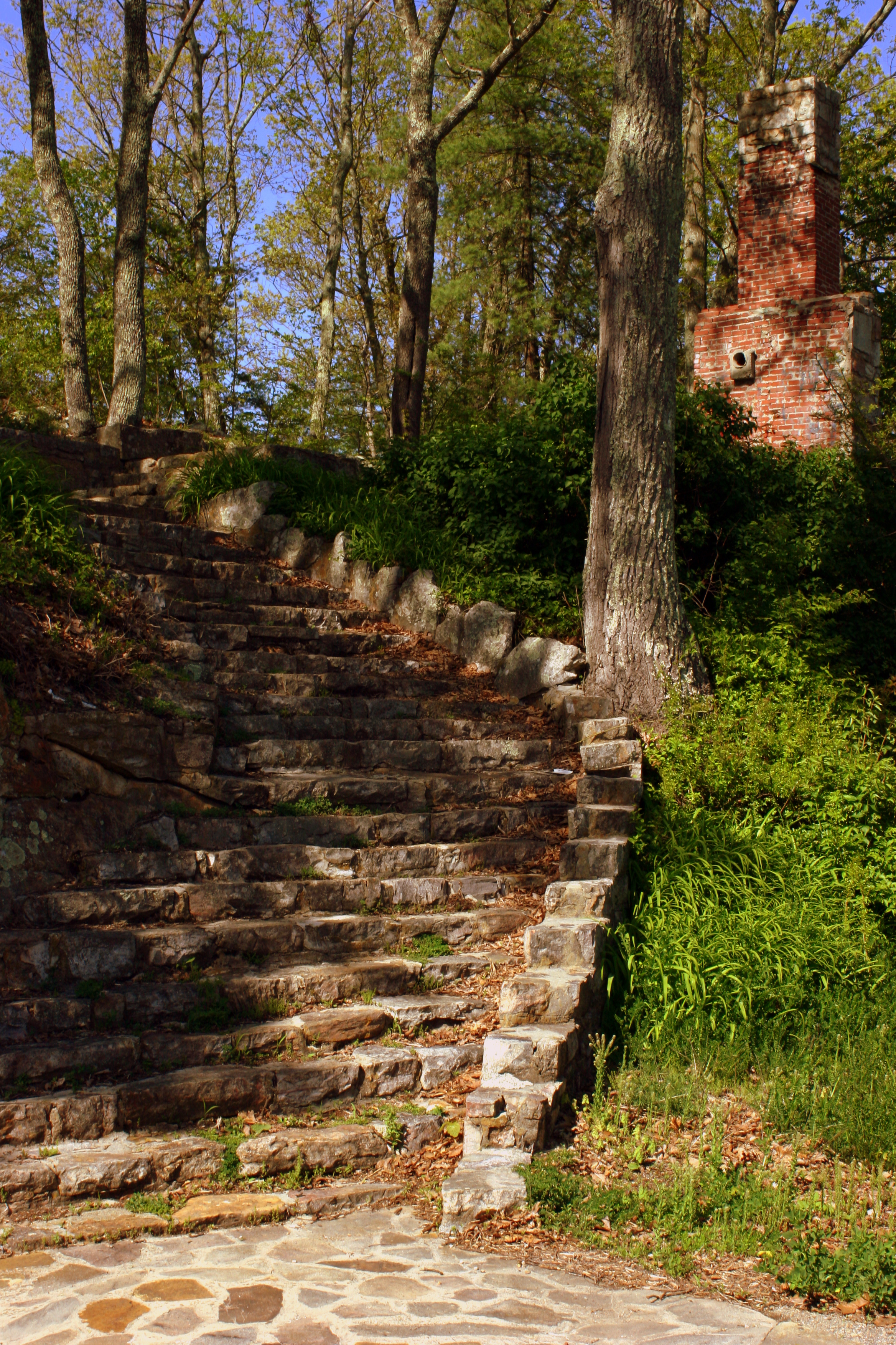
Steps to Nowhere - Draper Mountain, VA
View from Cobb House Bench
Shot Tower Historical State Park, Wythe County (Va.), 4 August 1978
What a nice view.

Cobb house bench view
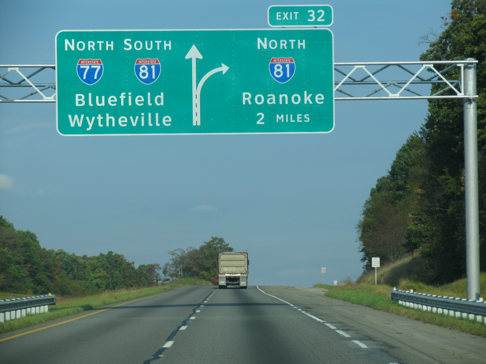
I-77 North Virginia - Exit 32

Thanks so much for all the views and subscribers!
View from 1st Bridge
New River Trail State Park

View from the parking lot
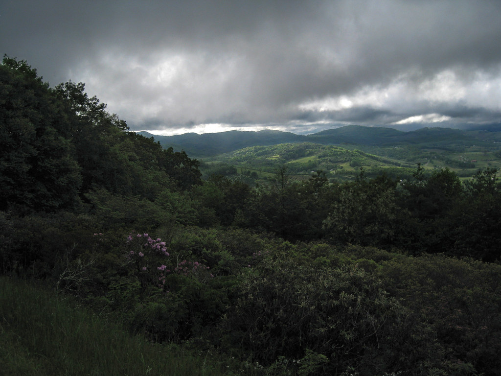
Blue Ridge Parkway View

morning at foster falls
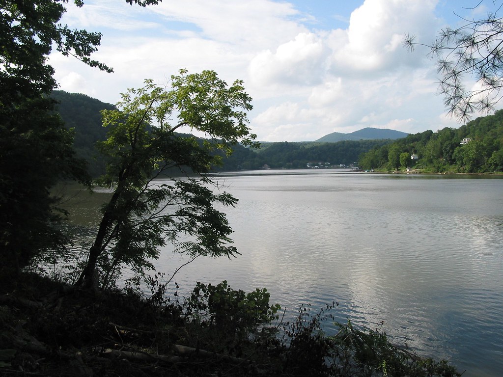
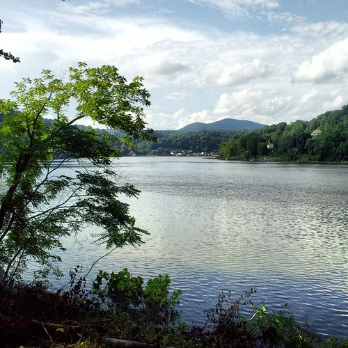
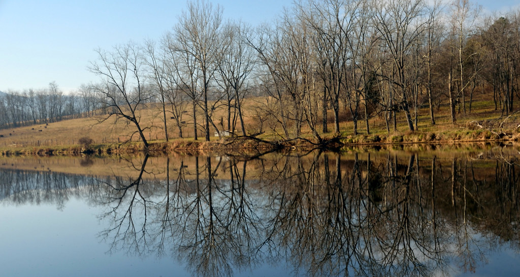
Claytor Lake, Va

Looking at New river from Cobb house

Scenic Virginia.

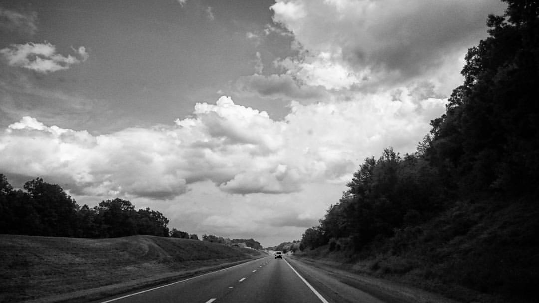
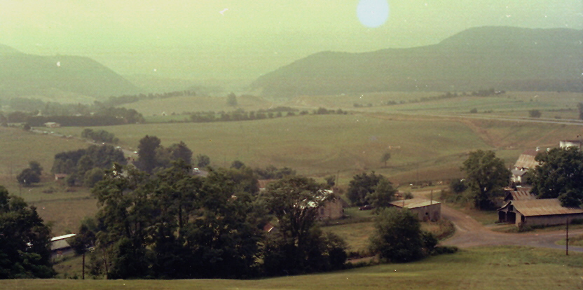
Countryside Along Interstate 77.
Robert D. Cook 2010 "Walking Home"
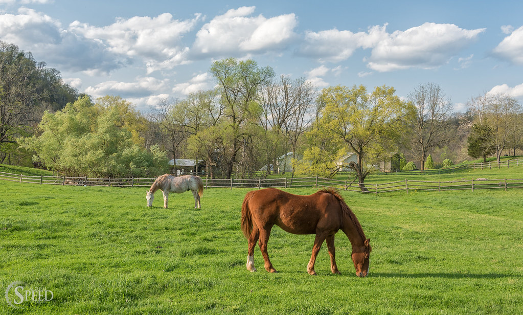
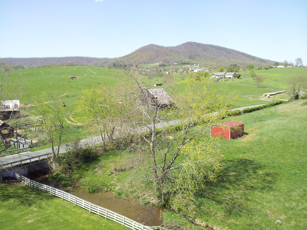
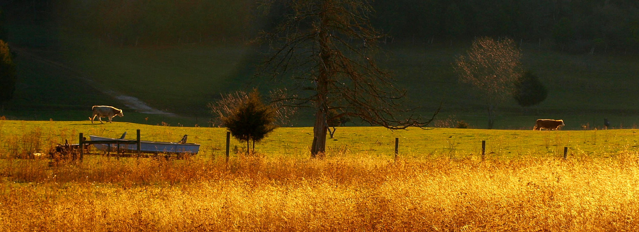
Springtime at Foster Falls Horse Livery
New River Trail 004
Robert D. Cook 2010
10-NewRiverFosterFalls
IMGP8023.jpg
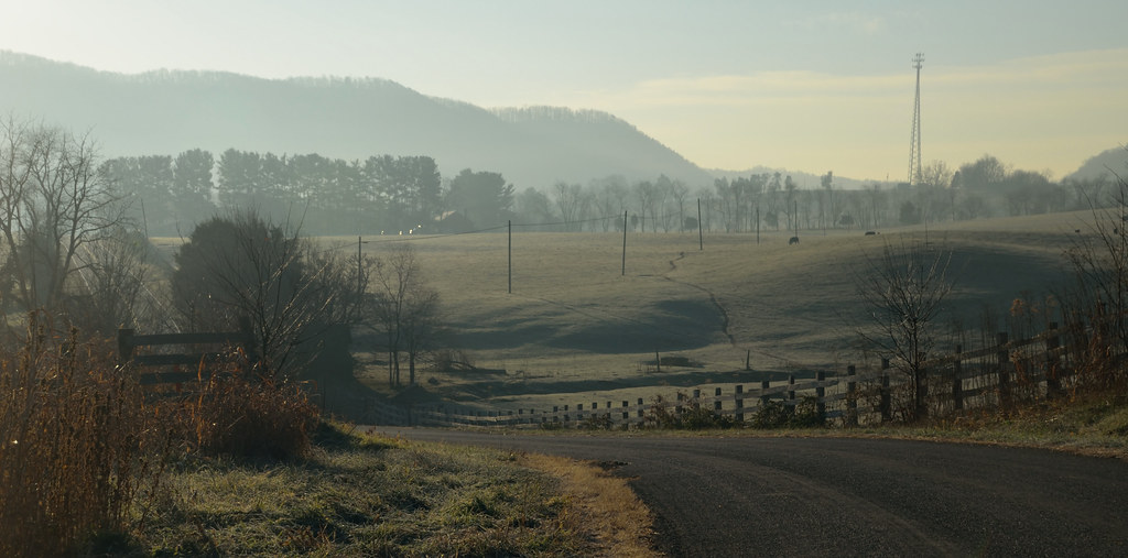
2-FrostyMorningNearShotTower

Biking the New River trail

iPhone 4S
Draper Valley Viewpoint
Jacob with the Flash Sloan Creek

Robert D. Cook 2010
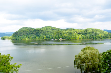
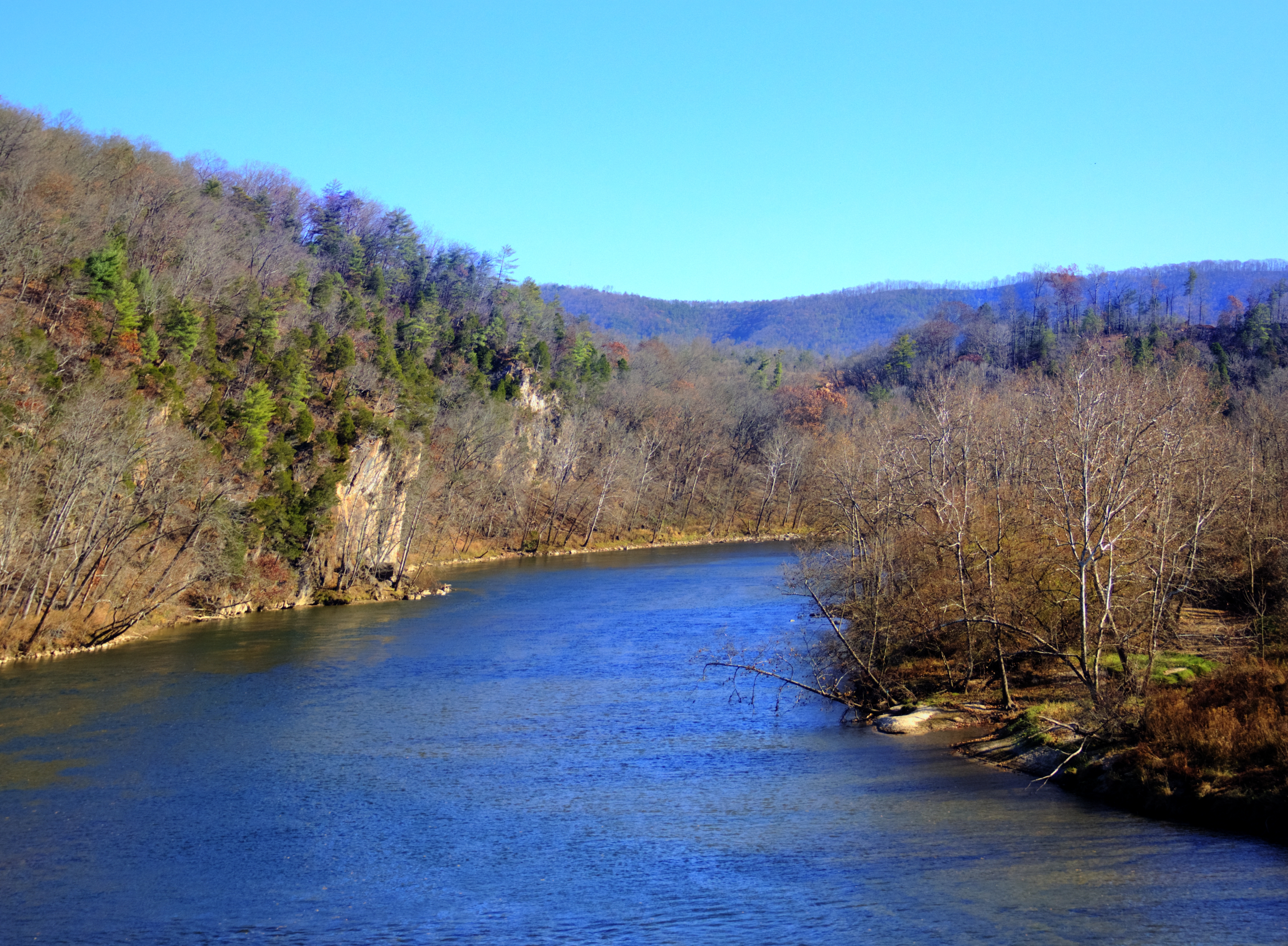
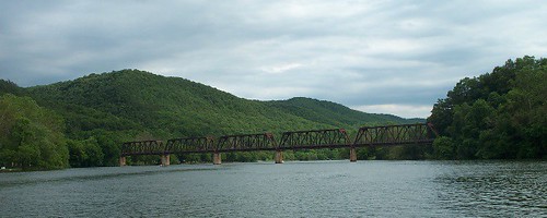
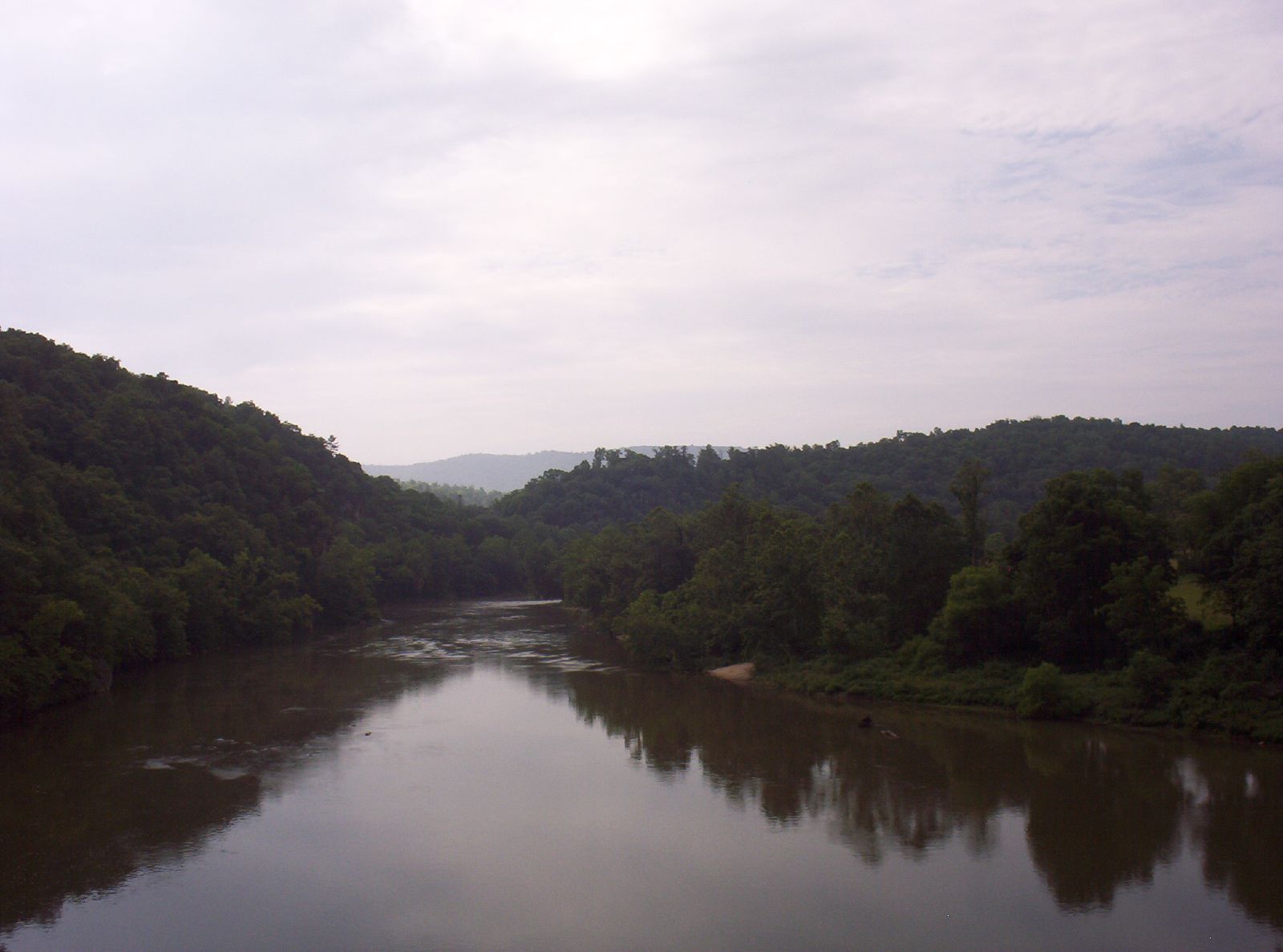
New River
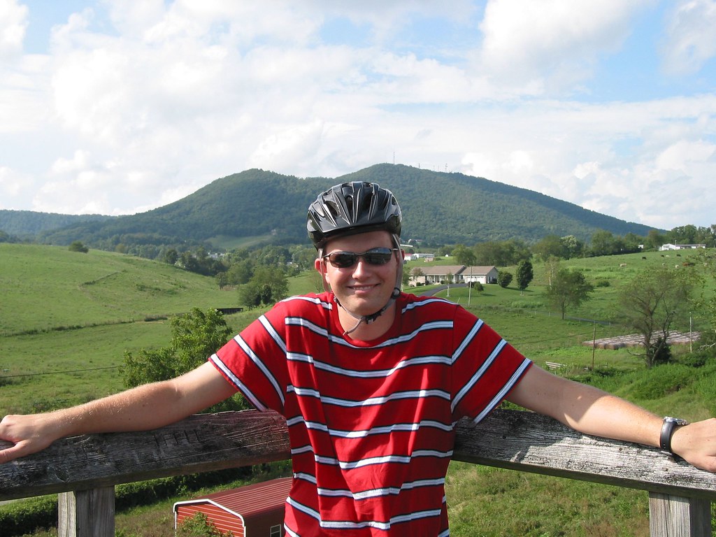
Jacob at Sloan Creek Bridge
Topographic Map of River Ridge Drive, River Ridge Dr, Fort Chiswell, VA, USA
Find elevation by address:

Places near River Ridge Drive, River Ridge Dr, Fort Chiswell, VA, USA:
116 Orphanage Dr
Barren Springs
615 Brown Town Rd
279 Laban Ln
Poplar Camp Mountain
Scratch Gravel Road
573 Hall Hollow Rd
611 Scratch Gravel Rd
9357 Poplar Camp Rd
758 Lumber Ln
8492 Poplar Camp Rd
2624 Scratch Gravel Rd
7908 Poplar Camp Rd
7908 Poplar Camp Rd
7908 Poplar Camp Rd
7908 Poplar Camp Rd
7908 Poplar Camp Rd
7908 Poplar Camp Rd
Wysor Hwy, Hillsville, VA, USA
2561 State Rd 745
Recent Searches:
- Elevation of Sadovaya Ulitsa, 20, Rezh, Sverdlovskaya oblast', Russia
- Elevation of Ulitsa Kalinina, 79, Rezh, Sverdlovskaya oblast', Russia
- Elevation of 72-31 Metropolitan Ave, Middle Village, NY, USA
- Elevation of 76 Metropolitan Ave, Brooklyn, NY, USA
- Elevation of Alisal Rd, Solvang, CA, USA
- Elevation of Vista Blvd, Sparks, NV, USA
- Elevation of 15th Ave SE, St. Petersburg, FL, USA
- Elevation of Beall Road, Beall Rd, Florida, USA
- Elevation of Leguwa, Nepal
- Elevation of County Rd, Enterprise, AL, USA