Elevation of River Rd, Equinunk, PA, USA
Location: United States > Pennsylvania > Wayne County > Manchester Township > Equinunk >
Longitude: -75.083686
Latitude: 41.811492
Elevation: 284m / 932feet
Barometric Pressure: 98KPa
Elevation Map:
Satellite Map:
Related Photos:

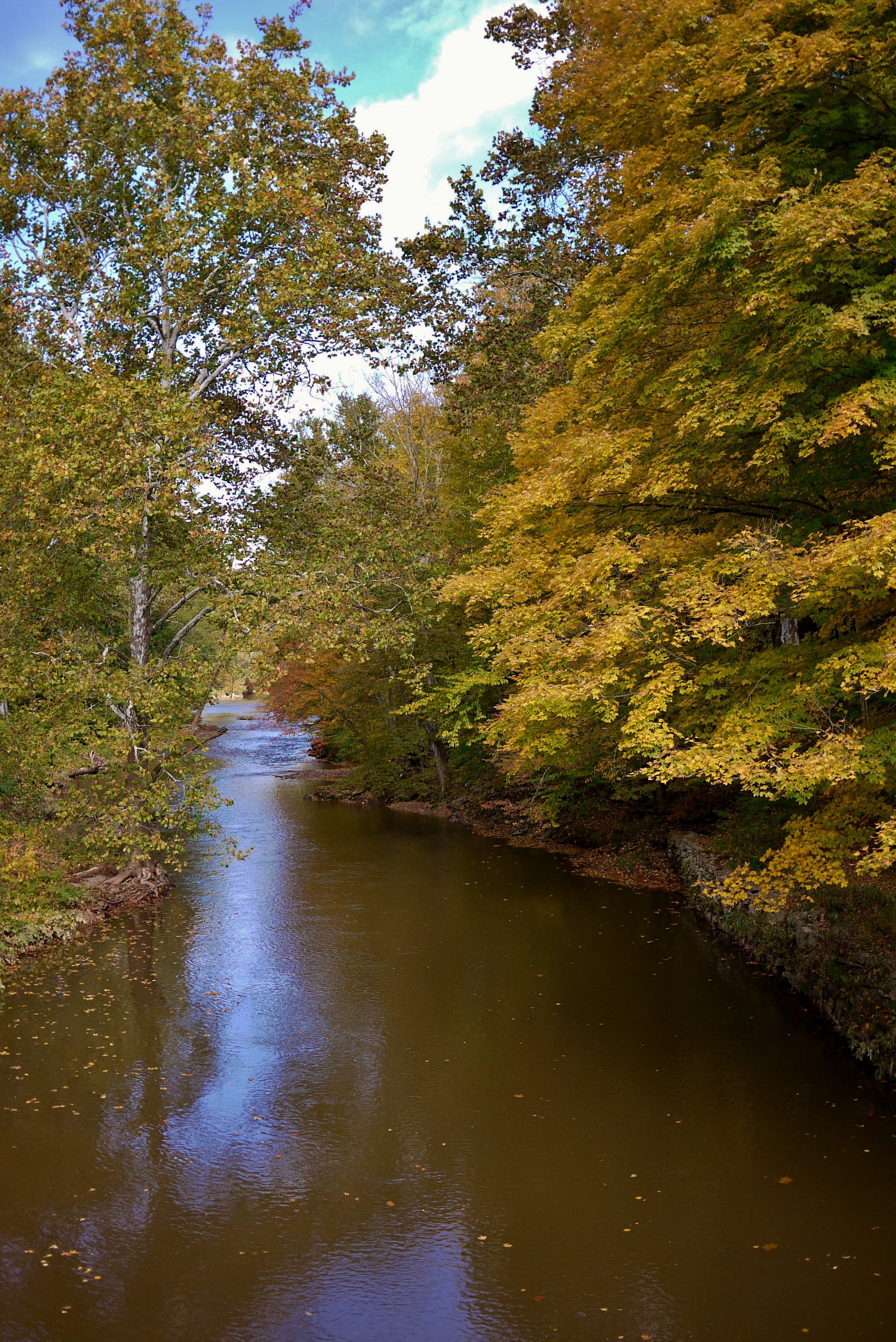
Evening At Stone Arch Bridge Park

Reflected Merganser Brood

View from the bridge
View from the Stone Arch Bridge
View from Skinners Falls campground

Pretty Morning View

View from the Stone Arch Bridge
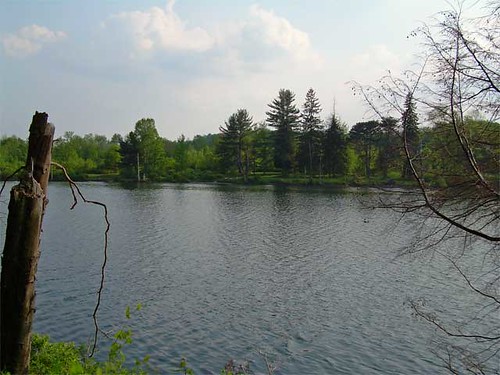
Lake view

Pretty Evening View
Former entrance to Green Acres

Pretty Evening View

Pretty Evening View
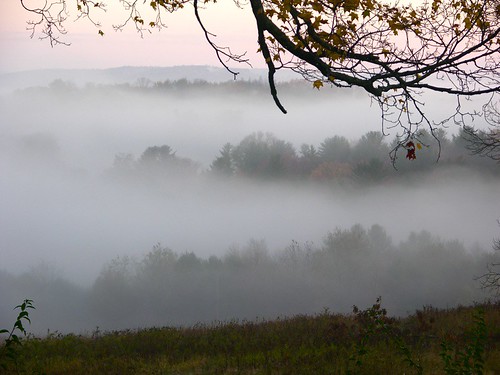
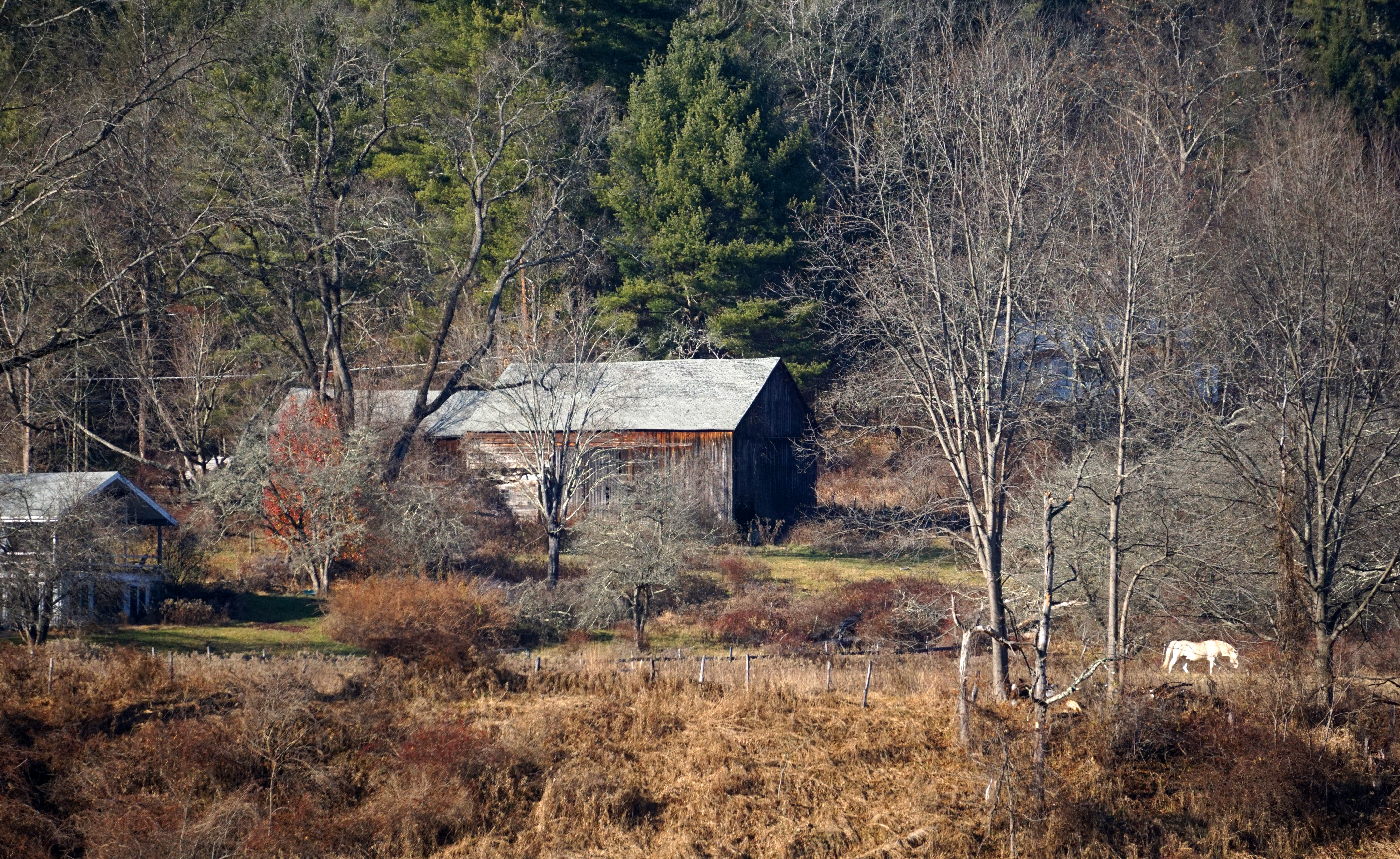
Fall Morning in the Countryside

Pretty Evening View
View at Skinner's Falls Campground

Pretty Morning View
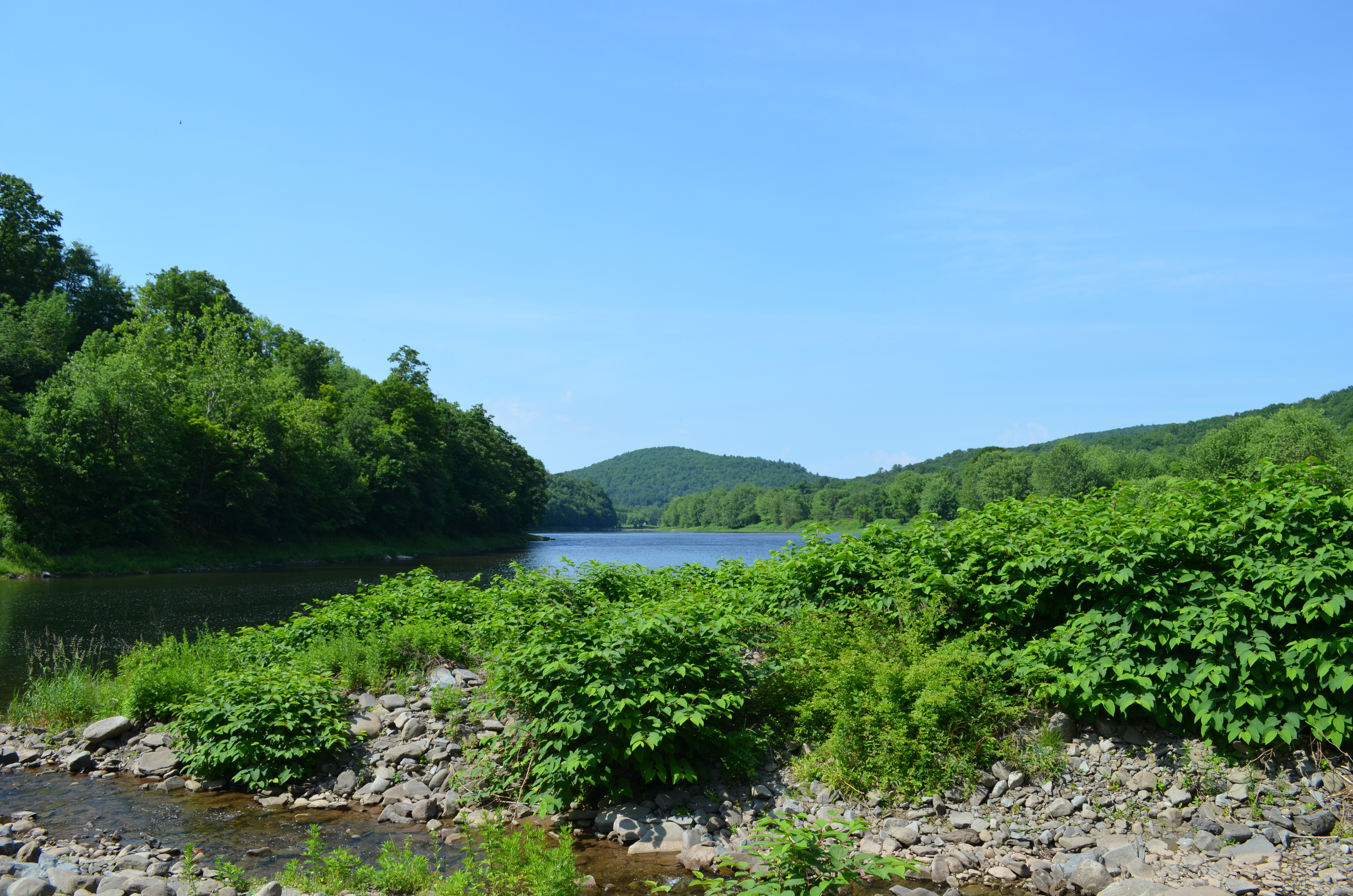
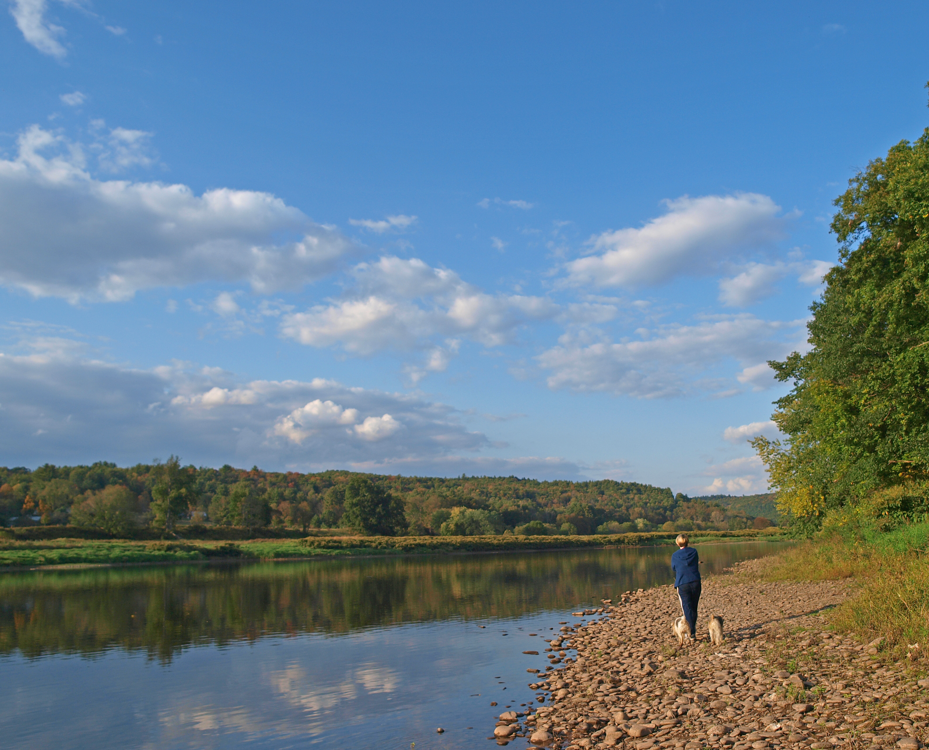
Delaware River View
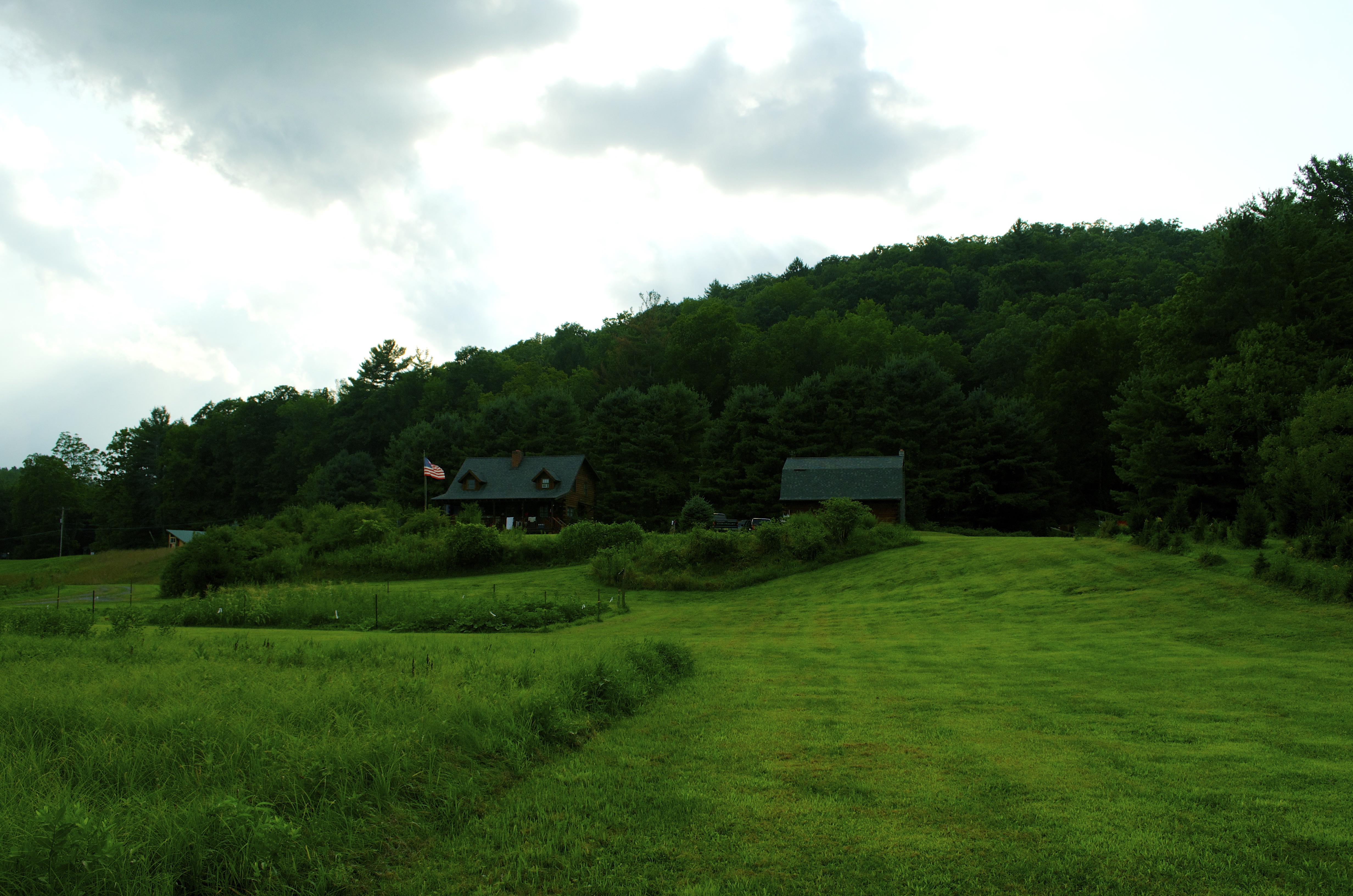
View of the cabin
Lake view

Pretty Evening View

Pretty Morning View
Laundry Brook

Making Hay
Deleware River from Skinners Falls Bridge
Standard Oil Pump Station - Cochecton, NY
_MG_0123_HDR.jpg

Up the river
After The Splash

River 2
Puddle Sunset

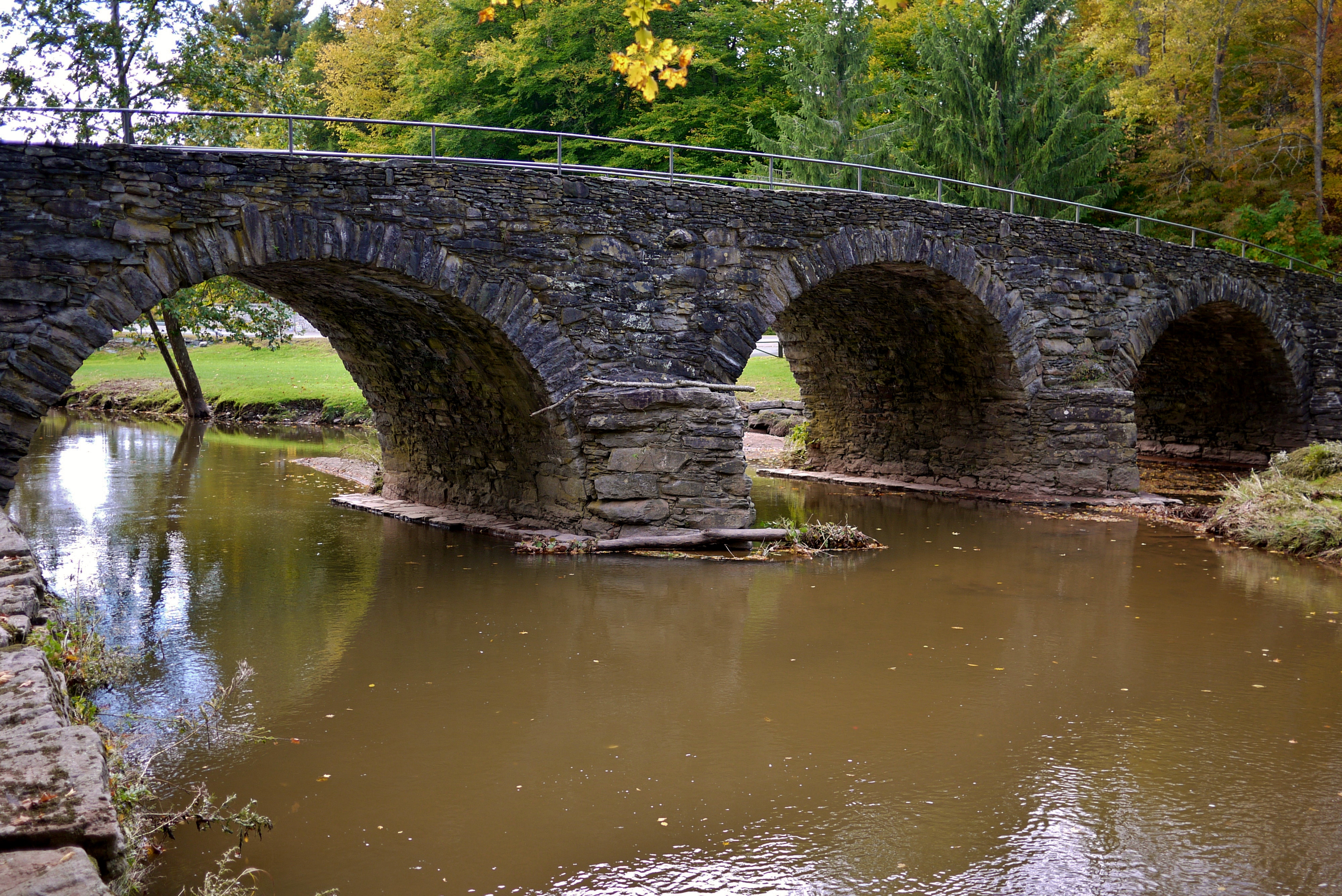
The Old Stone Arch Bridge
By the icy Delaware
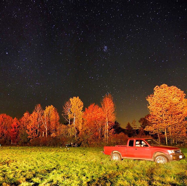
#stars above and #truck below. #eddieadamsworkshop #eddieadams #fall
Stone Arch Bridge
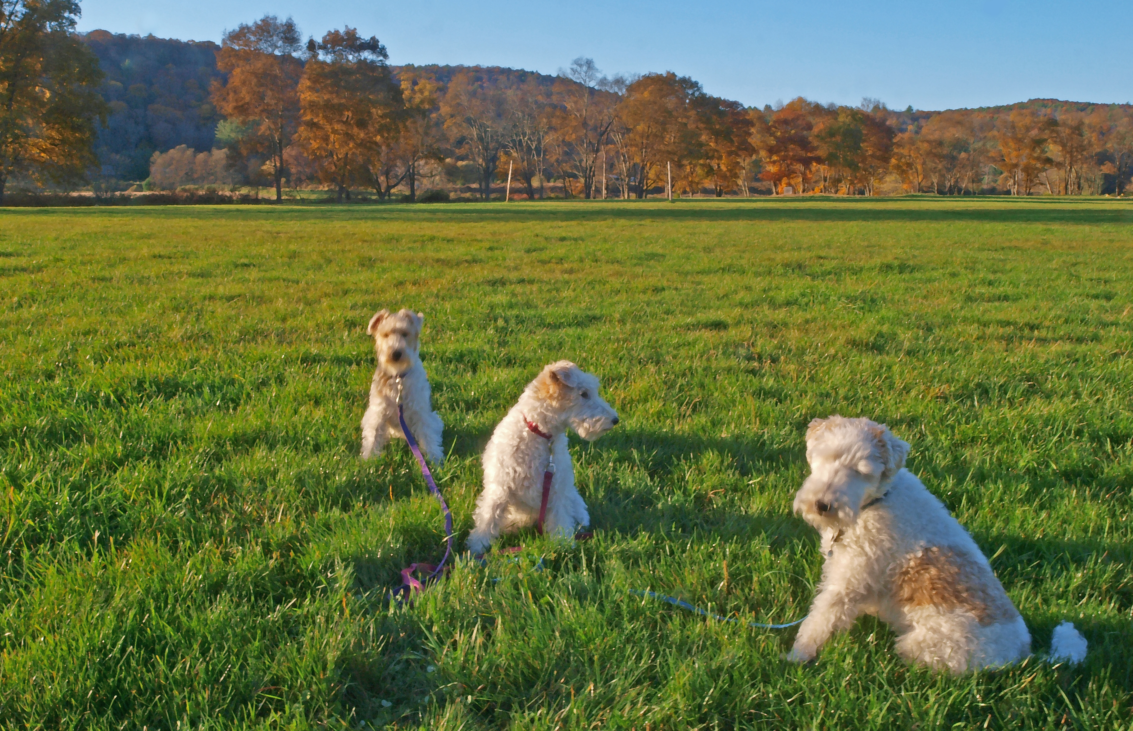
Ann, Annabella, and Chucho

MELISSA-TOMMY_04702-2.jpg

Can I help you?

The Old Stone Arch Bridge

20110102 032
Topographic Map of River Rd, Equinunk, PA, USA
Find elevation by address:

Places near River Rd, Equinunk, PA, USA:
Hankins
10482 Ny-97
299 Co Rd 132
River Rd, Equinunk, PA, USA
773 Co Rd 94
T-627
Callicoon
130 Hospital Rd
85 Old Rd, Damascus, PA, USA
Peterson Lake
72 Hortonville Main St, Callicoon, NY, USA
Hortonville
62 Layton Rd
Robisch Hill Road
157 Layton Rd
Delaware
North Branch
431 Bayer Rd
Manchester Township
Manchester Township
Recent Searches:
- Elevation of Warwick, RI, USA
- Elevation of Fern Rd, Whitmore, CA, USA
- Elevation of 62 Abbey St, Marshfield, MA, USA
- Elevation of Fernwood, Bradenton, FL, USA
- Elevation of Felindre, Swansea SA5 7LU, UK
- Elevation of Leyte Industrial Development Estate, Isabel, Leyte, Philippines
- Elevation of W Granada St, Tampa, FL, USA
- Elevation of Pykes Down, Ivybridge PL21 0BY, UK
- Elevation of Jalan Senandin, Lutong, Miri, Sarawak, Malaysia
- Elevation of Bilohirs'k