Elevation of Robisch Hill Road, Robisch Hill Rd, Delaware, NY, USA
Location: United States > New York > Sullivan County > Delaware > Callicoon >
Longitude: -75.014946
Latitude: 41.779495
Elevation: 389m / 1276feet
Barometric Pressure: 97KPa
Elevation Map:
Satellite Map:
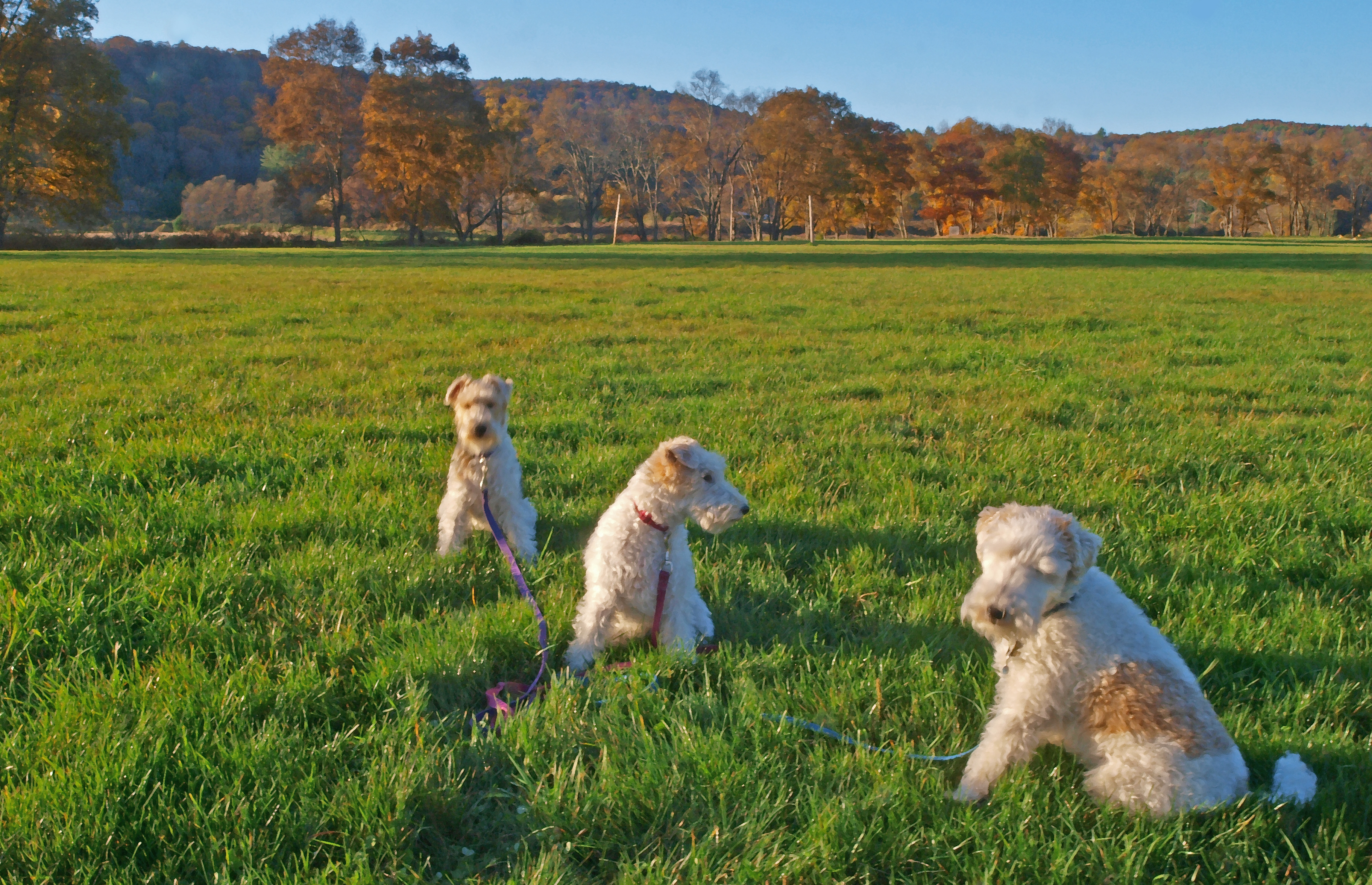
Related Photos:
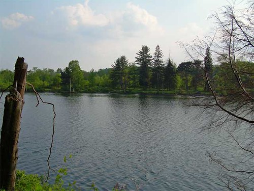
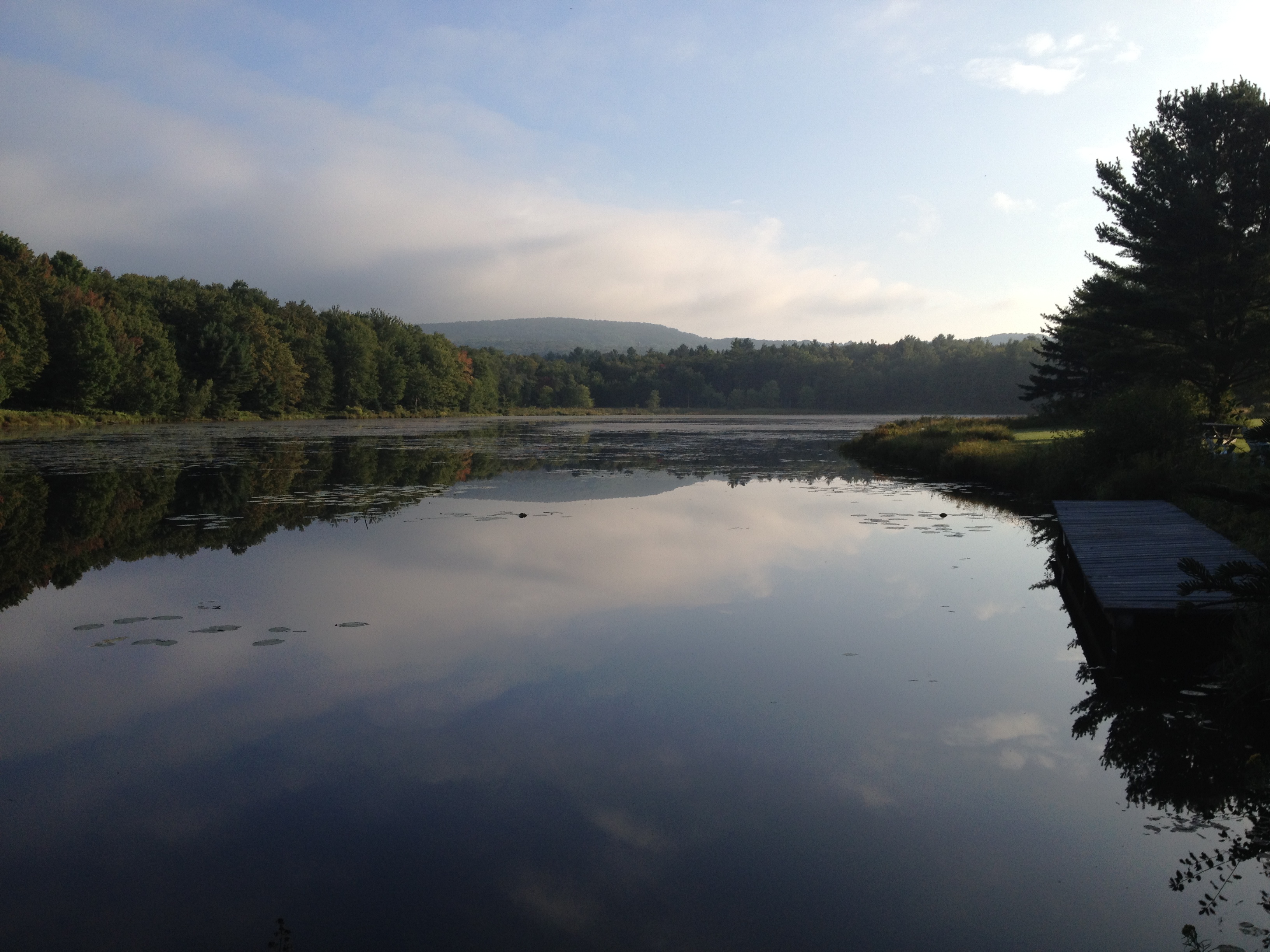
Lake view

Pull Up A Step And Have A Coke
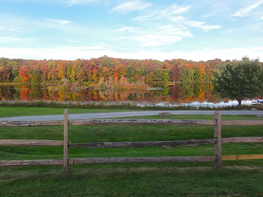
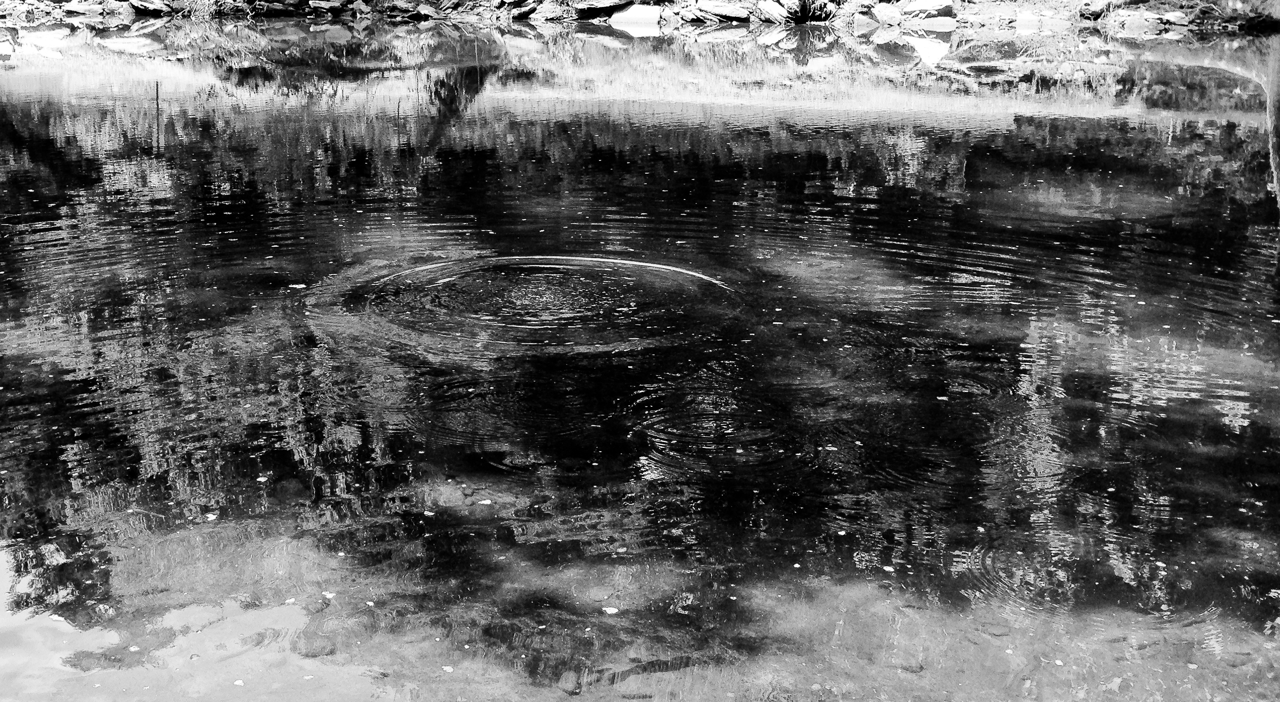
Autumn Pond
Chipinaw Waterfront and Pool (Taken from Pine Cove)

It's a better view than YouTube lol
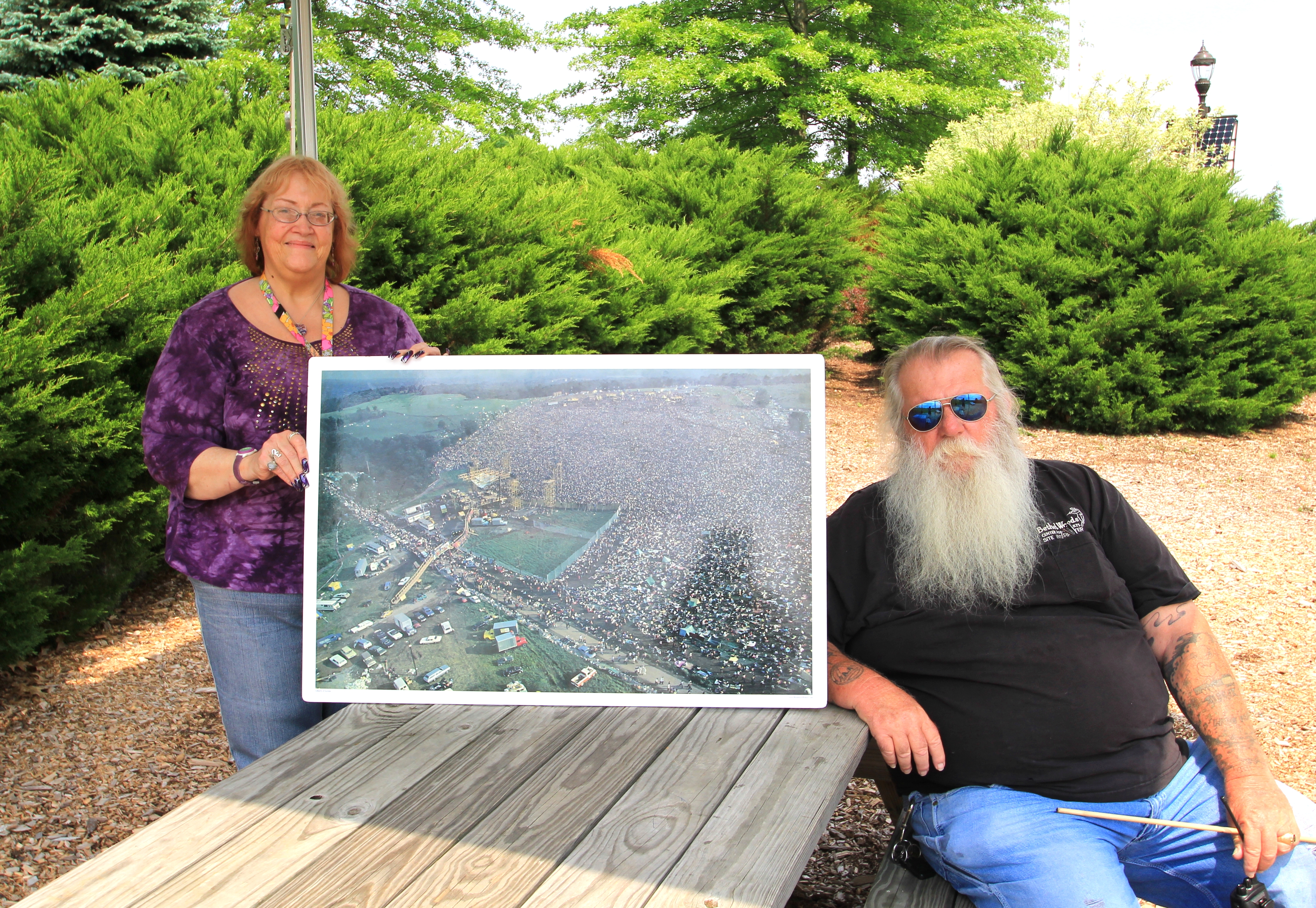
Representatives For Woodstock

Stephanie Grace

Pretty Morning View
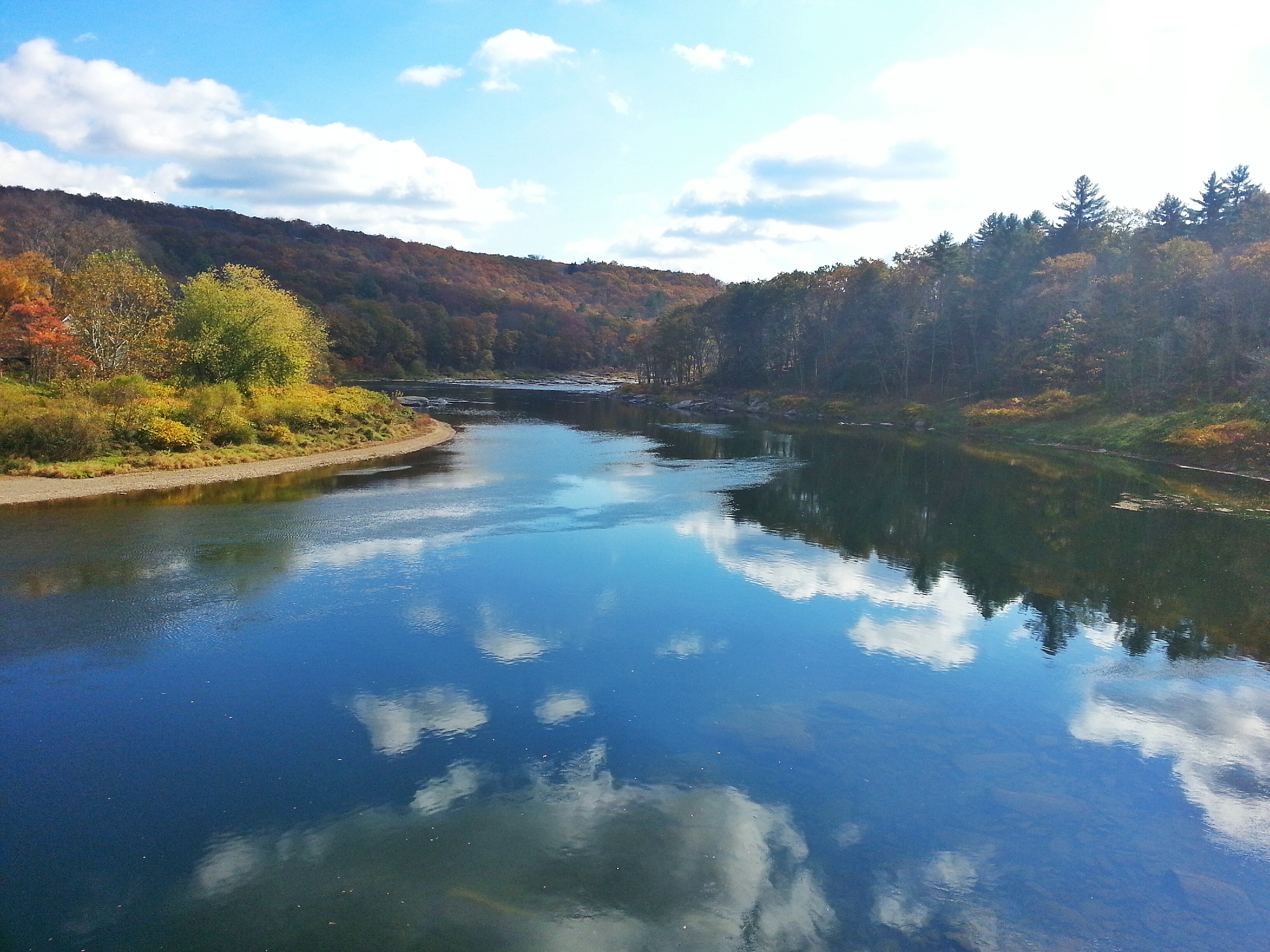
View from the Stone Arch Bridge

The Piano Player

Elton John Audience

View from the Stone Arch Bridge
Woodstock Vista

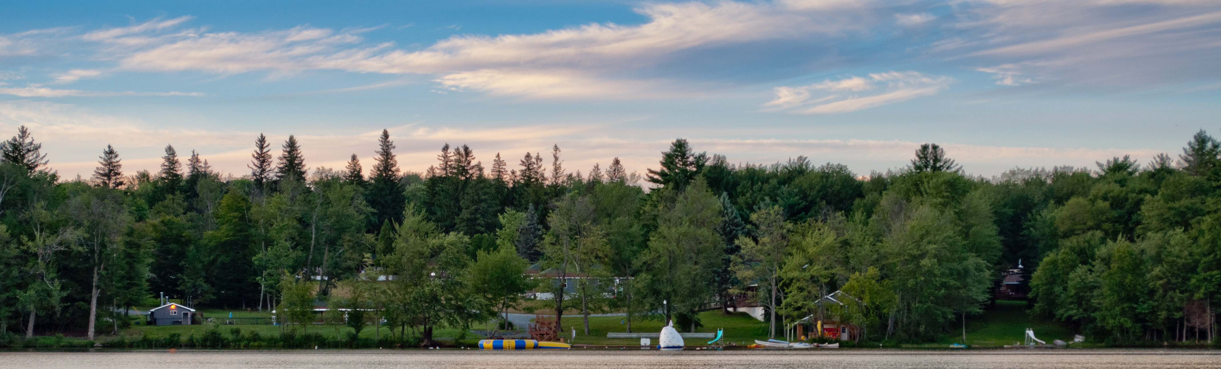
Pretty Evening View

Pretty Evening View

Pretty Evening View
Former entrance to Green Acres
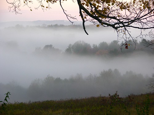
Fall Morning in the Countryside
View at Skinner's Falls Campground

Pretty Evening View
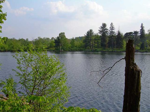
Lake view
Deleware River from Skinners Falls Bridge
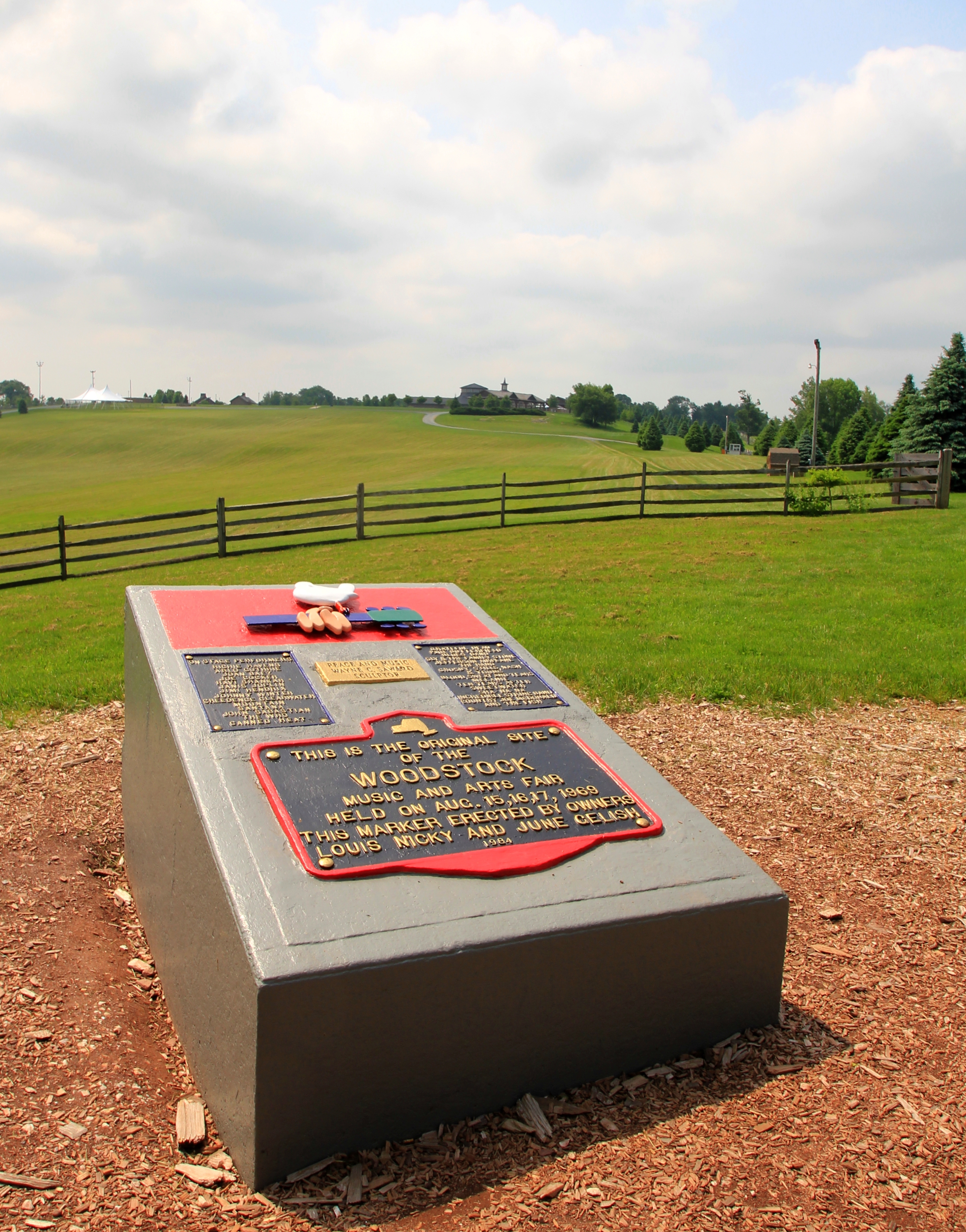
Woodstock Then And Now
Standard Oil Pump Station - Cochecton, NY
Laundry Brook
No Music - No Crowd - No Rain
_MG_0123_HDR.jpg

7/25/13 Brthel Woods
After The Splash

River 2

Can I help you?
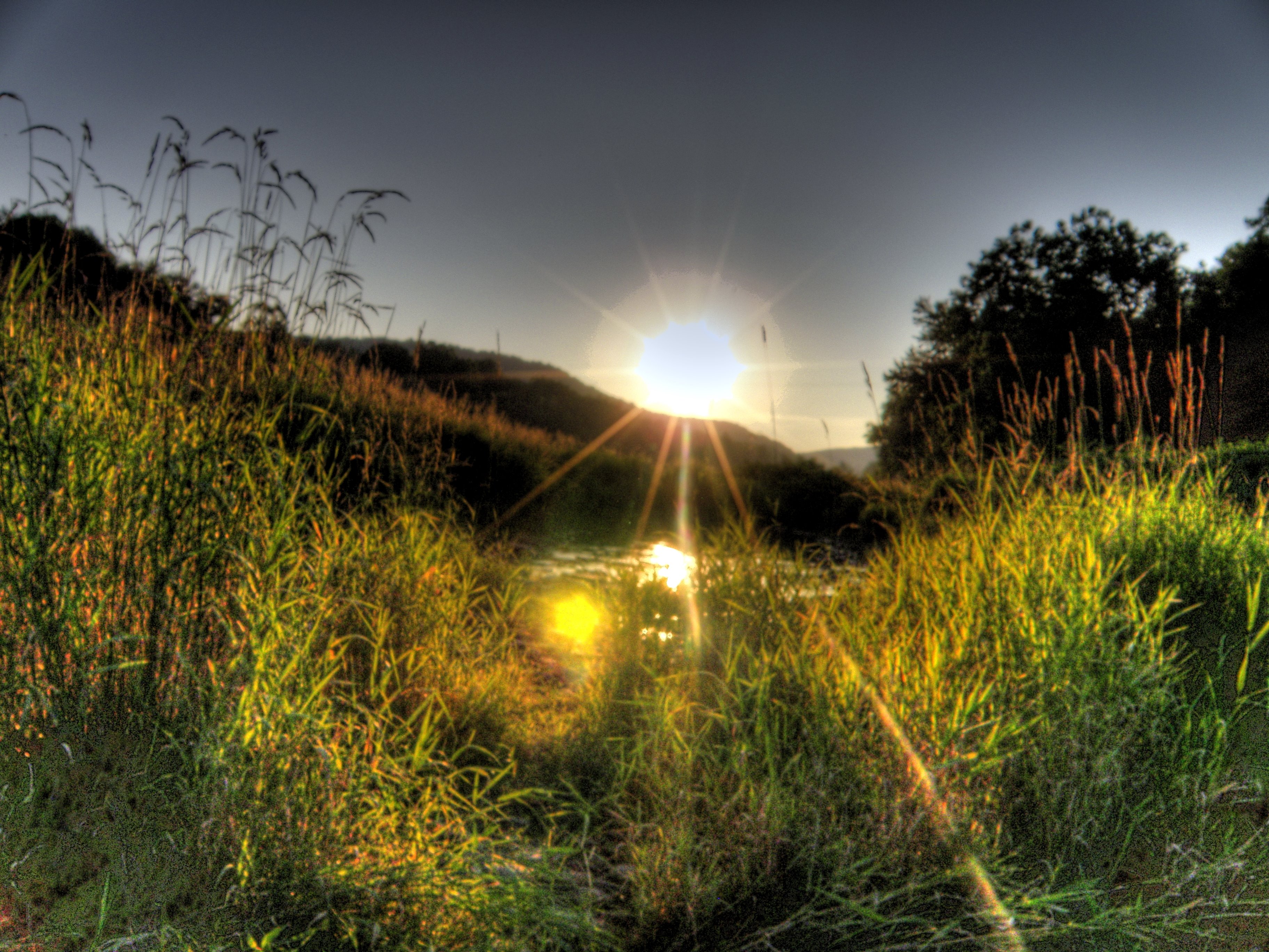
Puddle Sunset

Trying to remember
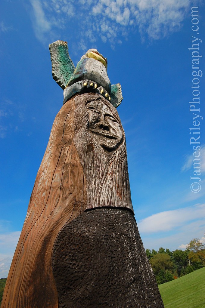
Janis Joplin on Woodstock Totem Pole
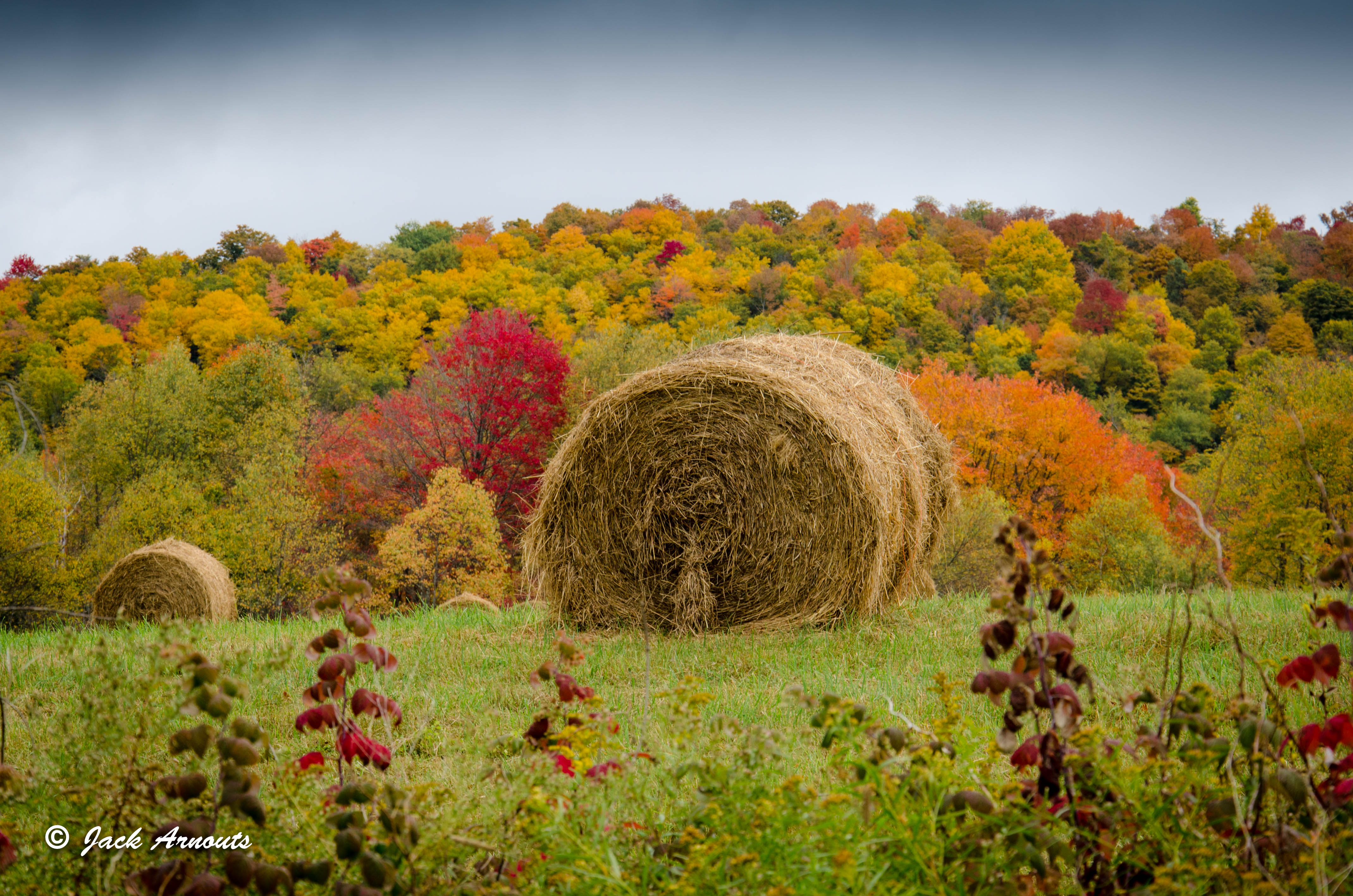
Making Hay
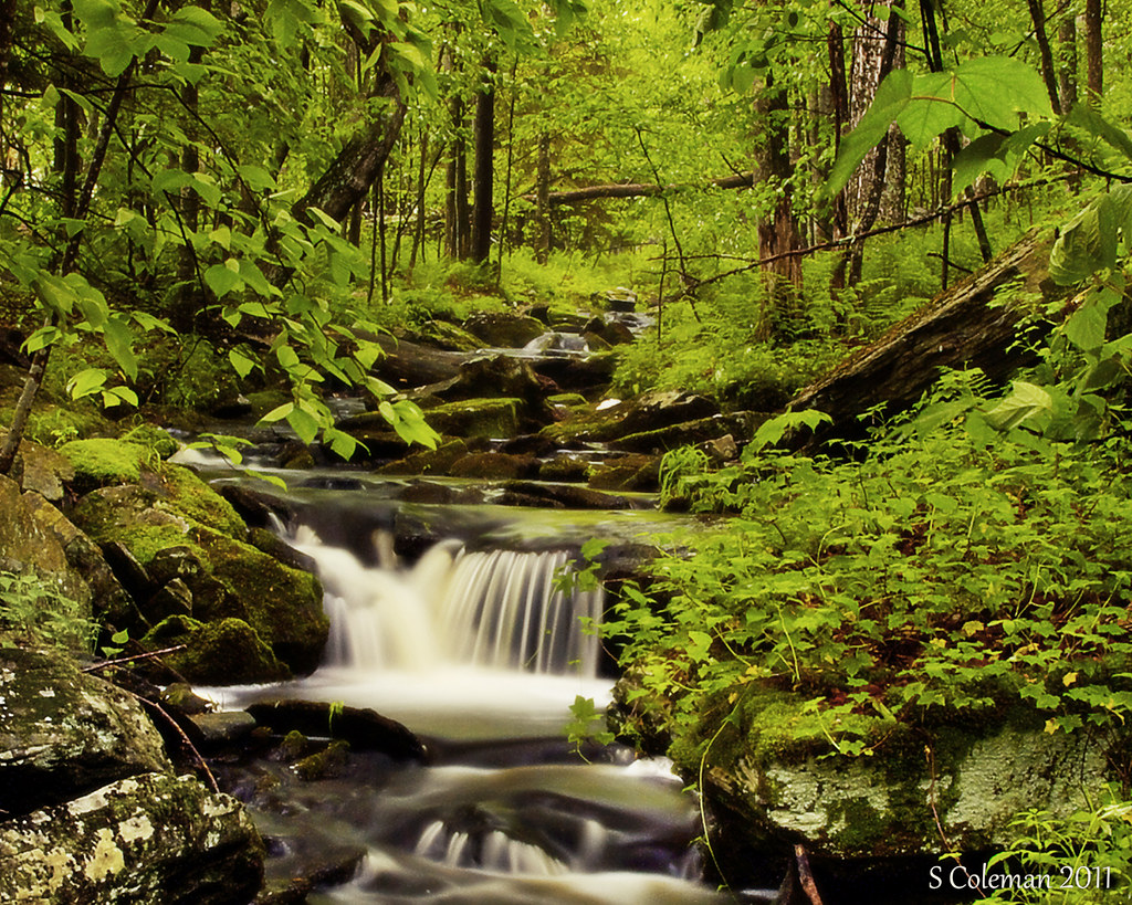
Miniature Niagara
Liberty NY lake marie
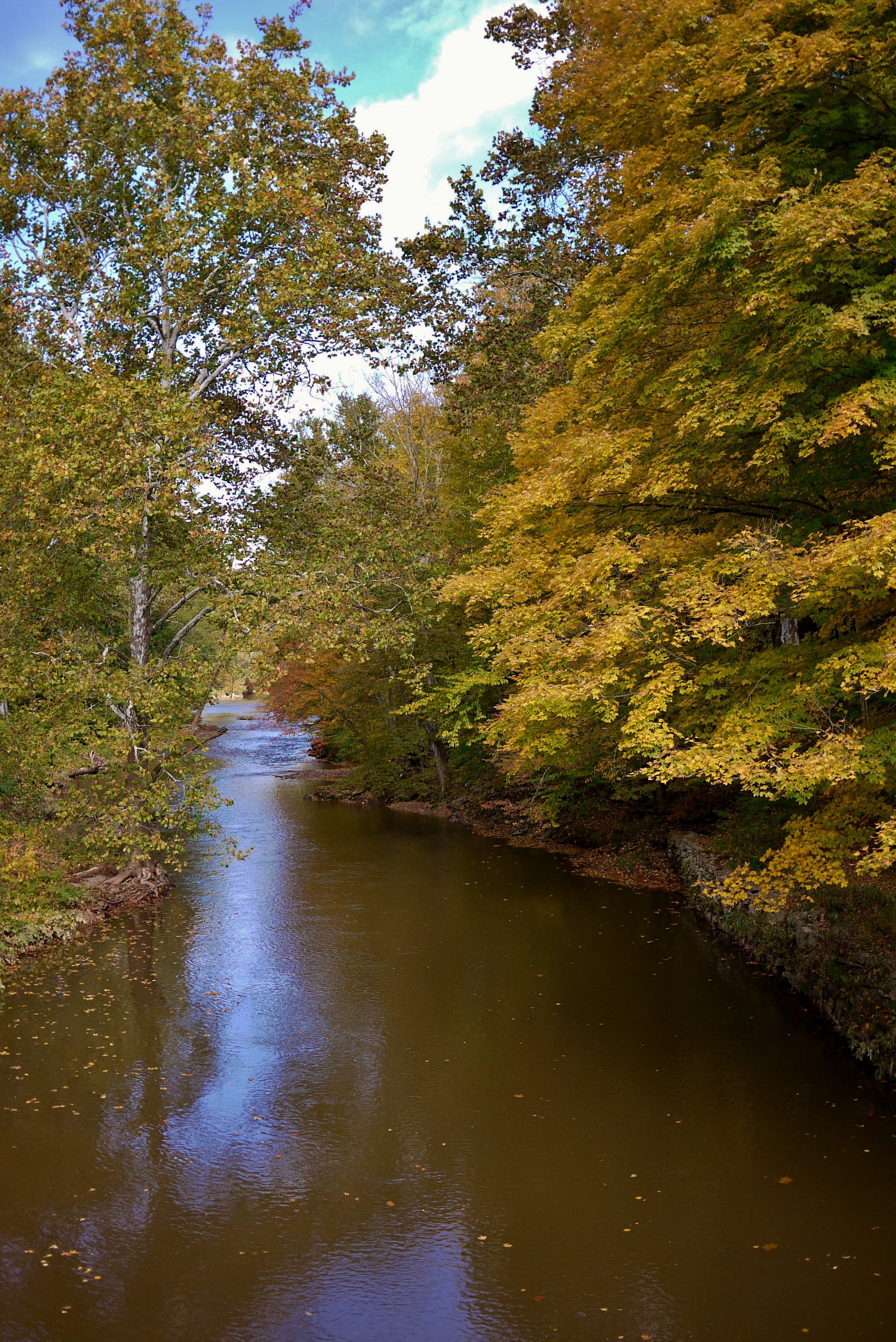
Delaware River at Callicoon
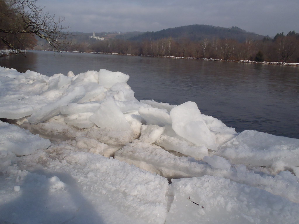
By the icy Delaware
Perry Road Cows
Topographic Map of Robisch Hill Road, Robisch Hill Rd, Delaware, NY, USA
Find elevation by address:

Places near Robisch Hill Road, Robisch Hill Rd, Delaware, NY, USA:
Delaware
Hortonville
72 Hortonville Main St, Callicoon, NY, USA
130 Hospital Rd
North Branch
Villa Vista Drive
Villa Vista Drive
Bldg 13
Reum Rd, Callicoon, NY, USA
Callicoon
431 Bayer Rd
541 Jeffersonville North Branch Rd
442 New Turnpike Rd
North Branch, NY, USA
395 New Turnpike Rd
395 New Turnpike Rd
10482 Ny-97
299 Co Rd 132
202 Jeffersonville North Branch Rd
773 Co Rd 94
Recent Searches:
- Elevation of Fernwood, Bradenton, FL, USA
- Elevation of Felindre, Swansea SA5 7LU, UK
- Elevation of Leyte Industrial Development Estate, Isabel, Leyte, Philippines
- Elevation of W Granada St, Tampa, FL, USA
- Elevation of Pykes Down, Ivybridge PL21 0BY, UK
- Elevation of Jalan Senandin, Lutong, Miri, Sarawak, Malaysia
- Elevation of Bilohirs'k
- Elevation of 30 Oak Lawn Dr, Barkhamsted, CT, USA
- Elevation of Luther Road, Luther Rd, Auburn, CA, USA
- Elevation of Unnamed Road, Respublika Severnaya Osetiya — Alaniya, Russia