Elevation of River Bluff Ave, Redlands, CA, USA

Location: United States > California > San Bernardino County > Redlands > Northwest Redlands >

Longitude: -117.20472

Latitude: 34.0881787

Elevation: 378m / 1240feet

Barometric Pressure: 97KPa

Elevation Map:

elevation map of River Bluff Ave, Redlands, CA, USA

Satellite Map:

Satellite map of River Bluff Ave, Redlands, CA, USA

Related Photos:

california night outdoors trains colton
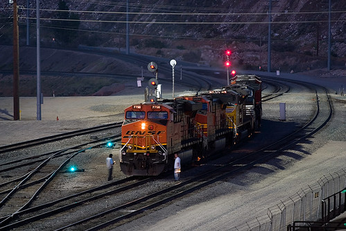
BNSF 7750 under the lights
california santafe trains colton atsf superc fp45
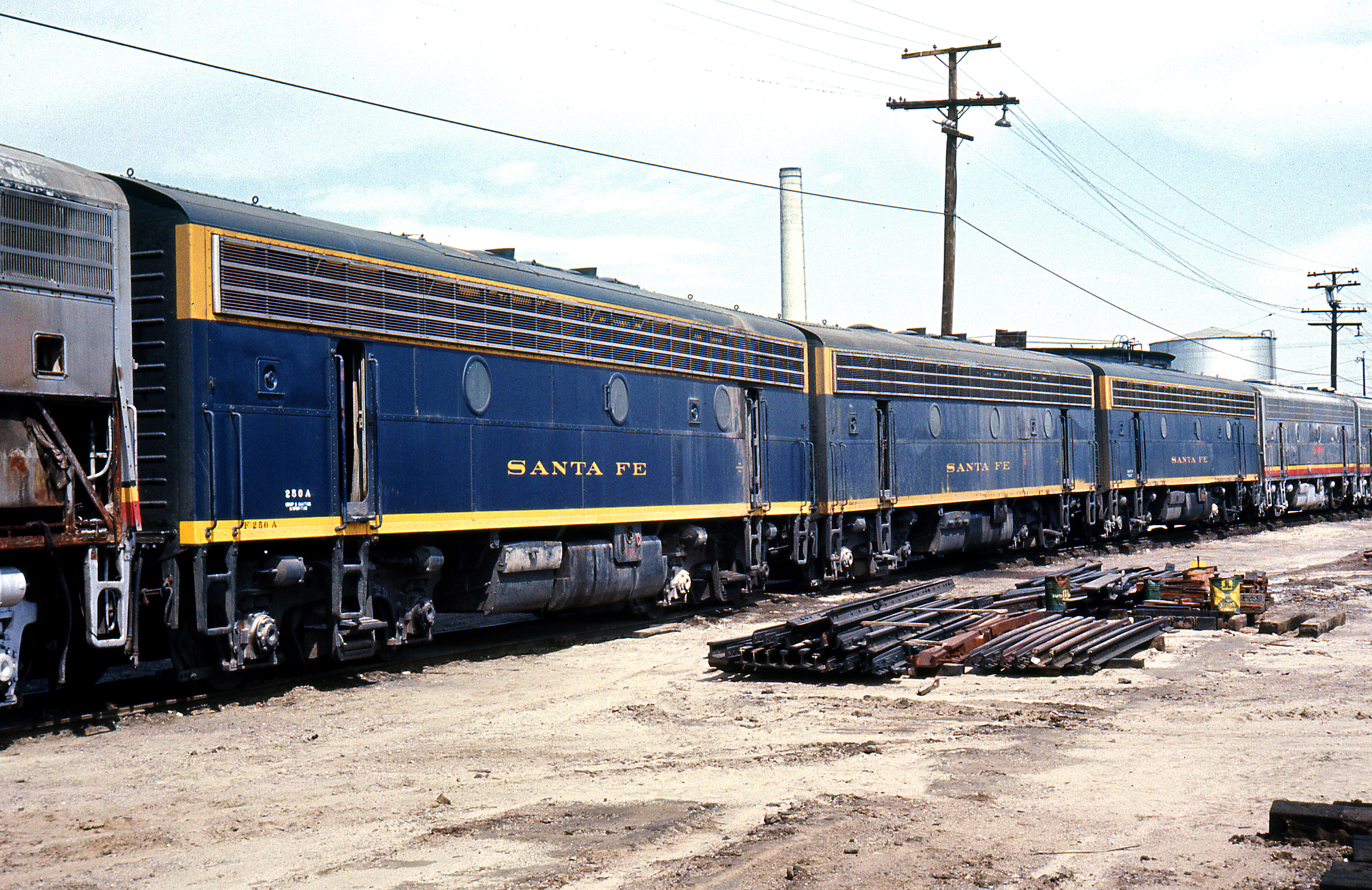
Better Blue Than Yellow Bonnet
california ca travel usa storm nature photoshop canon landscape photo interestingness interesting december day photographer riverside cs2 cloudy picture explore socal adobe southerncalifornia highdynamicrange blend adjust infocus inlandempire 2011 boxspringsmountain denoise 60d topazlabs photographersnaturecom davetoussaint photoengine mygearandme oloneo flickrstruereflection1
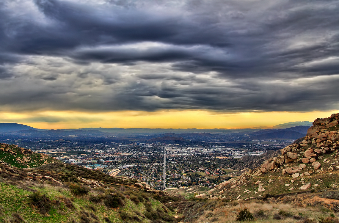
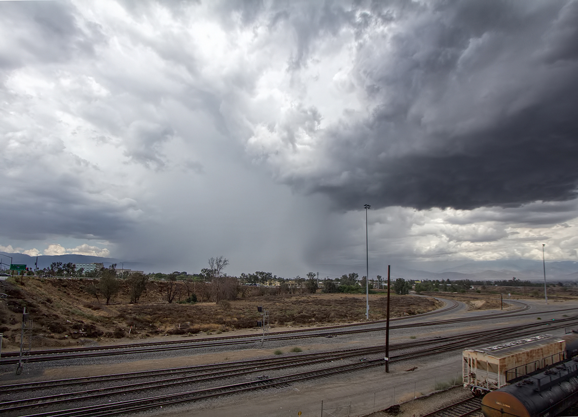
Storm over the Inland Empire
california canon socal canondslr railroads canon70200f4l railyards alltrains intothedarkness sbcusa
Three set to leave
california backlight canon outdoors lowlight socal colton unionpacific canondslr 2470l railroads railyards inlandempire alltrains twtme movingtrains sbcusa alltypesoftransport aphotographersnature kenszok
Local Departing at Sunset
california santafe trains shops rebuild railroads sanbernardino emd atsf rce f7b
Not So Beautiful Boosters
california up trains sp colton unionpacific southernpacific emd sdp35
UP X-1405W @ Colton
night canon outdoors nightimages colton unionpacific nightshots canondslr bnsf locomotives railroads canon70200f4l railyards alltrains alltypesoftransport
Side-by-Side
california sunset outdoors colton sbcusa
Clouds on Fire
california swimming canon outdoors socal 5d canon5d tcc swimmeet canondslr yucaipa kenszok theclaremontclub kszokphotography
Swim Lane
california night canon outdoors lowlight nightimages socal colton nightshots canondslr locomotives railroads railyards inlandempire alltrains intothedarkness sbcusa alltypesoftransport
Night Shift
california sunset color backlight canon outdoors lowlight sunsets socal unionpacific canondslr railroads railyards inlandempire sbcusa kenszok
Sunset Seen from Pepper Ave
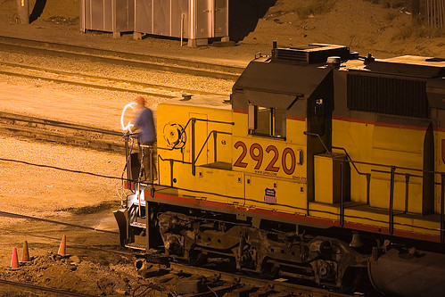
california train canon outdoors nightimages trains colton unionpacific nightshots canondslr railyards inlandempire alltrains trainsatnight intothedarkness railwayworker alltypesoftransport
Working at Night
california santafe up bench trains unionpacific rialto emd sd402 atsf seconddistrict kaisersteel coaltrains
View From a Bench
route66 wigwammotel tipi wigwam teepee motel reise travel usa sign schild sanbernardino kalifornien
Sleepee in a Teepee
california up trains unionpacific ge railroads sanbernardino cajonpass u50c
A Face Only UP Could Love
nikon san running springs d200 bernardino 2870mmf28d aplusphoto flickrlovers
A Mixture of Fog and Clouds
california camera signs postprocessed texture sign photoshop square concrete typography airport graphic eagle text letters norton sage bunker numbers signage type weathered airforce usaf processed vignette radar brac blockhouse typographic sanbernardino supersaturated inlandempire postprocessing reconaissance recon combatcamera lensblur secretrecipe digixpro eyetwist signaltonoise nortonafb prcssd eyetwistkevinballuff decomissionedairforcebase
prcssd. combat camera. san bernardino, ca. 2011.
california trains casco redlands amtrakspecialprsgep30chpoochel
ATK 714E @ El Casco
sevenoaksdam santaanariver
Santa Ana River Valley
airplane code event flickr:photoid=76170944 flickr:photoset=latrip1999 flickr:photosetid=1361042 event:code=199901a event:group=joes event:type=travel image:negpage=0288 image:roll=962 image:shot=6
Aerial shots Colorado/L.A. 1999
el casco california unitedstates us beaumont hill up union pacific yuma subdivision sub train coal railroad locomotive socal southern
Snaking Up Beaumont
california usa architecture canon landscape photo victorian historic bedbreakfast 2009 redlands 1890 turnofthecentury 40d moreymansion photographersnaturecom davetoussaint davetoussaintcom americasfavoritevictorian
Morey Mansion of Redlands
california sunset mountain forest landscape smog dusk photomerge 28 sanbernadino urbanlimit a 77 son y 1650m m
San Bernardino city and National Forest
california ca railroad travel sky usa cloud storm nature train photoshop canon landscape photo interestingness interesting day skies photographer cs2 picture rail september corporation explore adobe repair southerncalifornia facility hdr 2012 adjust infocus simplify gatx denoise 60d topazlabs photographersnaturecom davetoussaint photoengine oloneo
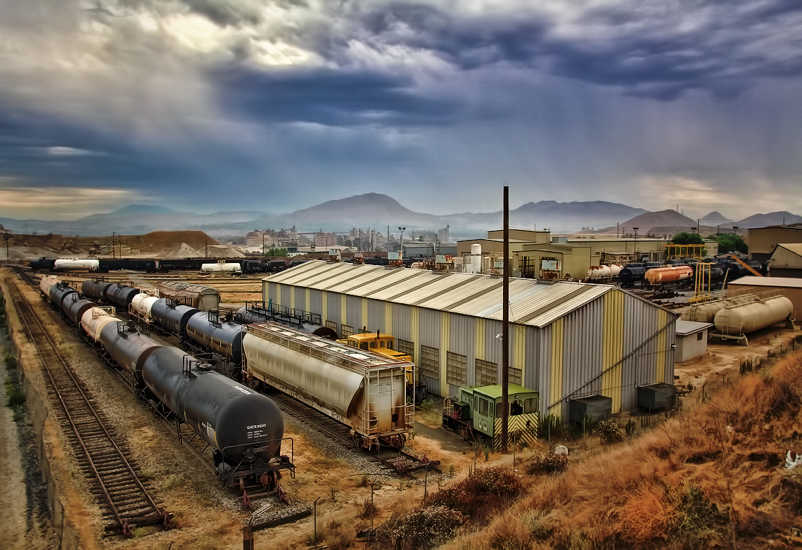
Storm over GATX in Colton
california ca travel summer usa storm nature rain weather photoshop canon landscape photo interestingness google interesting photographer cloudy picture clarity september explore socal adobe drought colton getty southerncalifornia adjust infocus 2014 inlandempire microburst cs6 denoise 60d topazlabs photographersnaturecom davetoussaint
Rain in SoCal?
california camera usa aviation aerial bigbearmountain project365 iphone4 337365 iphoneography 3652011
3.12.11 - Big Bear
family outdoors ranger box hiking cassie springs obie steffie muzzlehatch
iPhone pano: Box Springs Hike
california road bridge sky reflection wet water weather clouds landscape photography nikon unitedstates steel mentone partlycloudy sanbernardinocounty d7100
Garnet St. Bridge - Mentone, CA, USA
cliff lights city socal sunset blue
Overlooking the Inland Empire
california longexposure sky grass clouds unitedstates 52weeks sigma1020mmf456 calimesa nd110 52weekproject
the view from here [7:52]
sanbernardino california unitedstatesofamerica us
Metrolink San Bernardino Downtown Station
light cars night highway long exposure trails freeway trucks
Good Intentions
california travel usa nature canon landscape photo picture photographers depot metrolink bnsf westbound 2010 sanbernardino burlingtonnorthernsantafe 40d lightpower photographersnaturecom davetoussaint davetoussaintcom cajonsubdivision redlandslocal c44d9
Lightpower at San Bernardino Depot
trees summer field fire destruction smoke flames hills burning ash highway38 wildfire naturaldisaster mentone yucaipa outofcontrol
Fireside, the Burning
San Timoteo Nature Trail
california up san pacific hill union el canyon casco yuma beaumont subdivision timoteo sd70ace c45accte zmqlc
UP 7492
square lofi squareformat iphoneography instagramapp uploaded:by=instagram foursquare:venue=500b1edae4b0ddfaa6ed263f
#sanbernardinomountains #mountains #runningsprings #hwy18
california longexposure water river landscape photography nikon rocks stream unitedstates nationalforest mentone sanbernardinocounty ndfilter d7000
Mill Creek - Mentone, CA, USA
cliff sunset mountains socal rimoftheworld blue
Rim of the World Highway