Elevation map of Rio Blanco County, CO, USA
Location: United States > Colorado >
Longitude: -108.23775
Latitude: 39.9814297
Elevation: 1884m / 6181feet
Barometric Pressure: 81KPa
Elevation Map:
Satellite Map:
Related Photos:
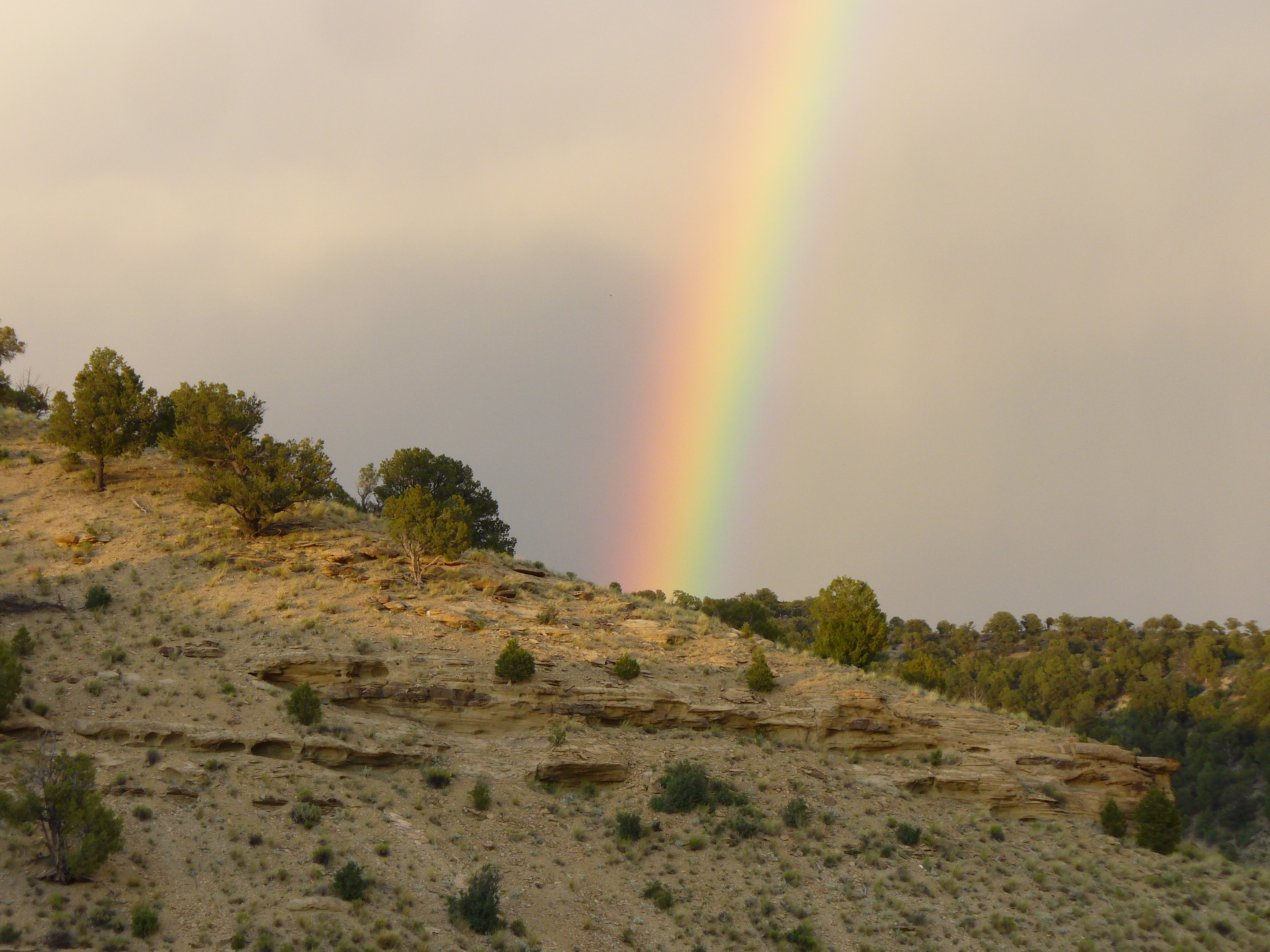
little hills rainbow 2
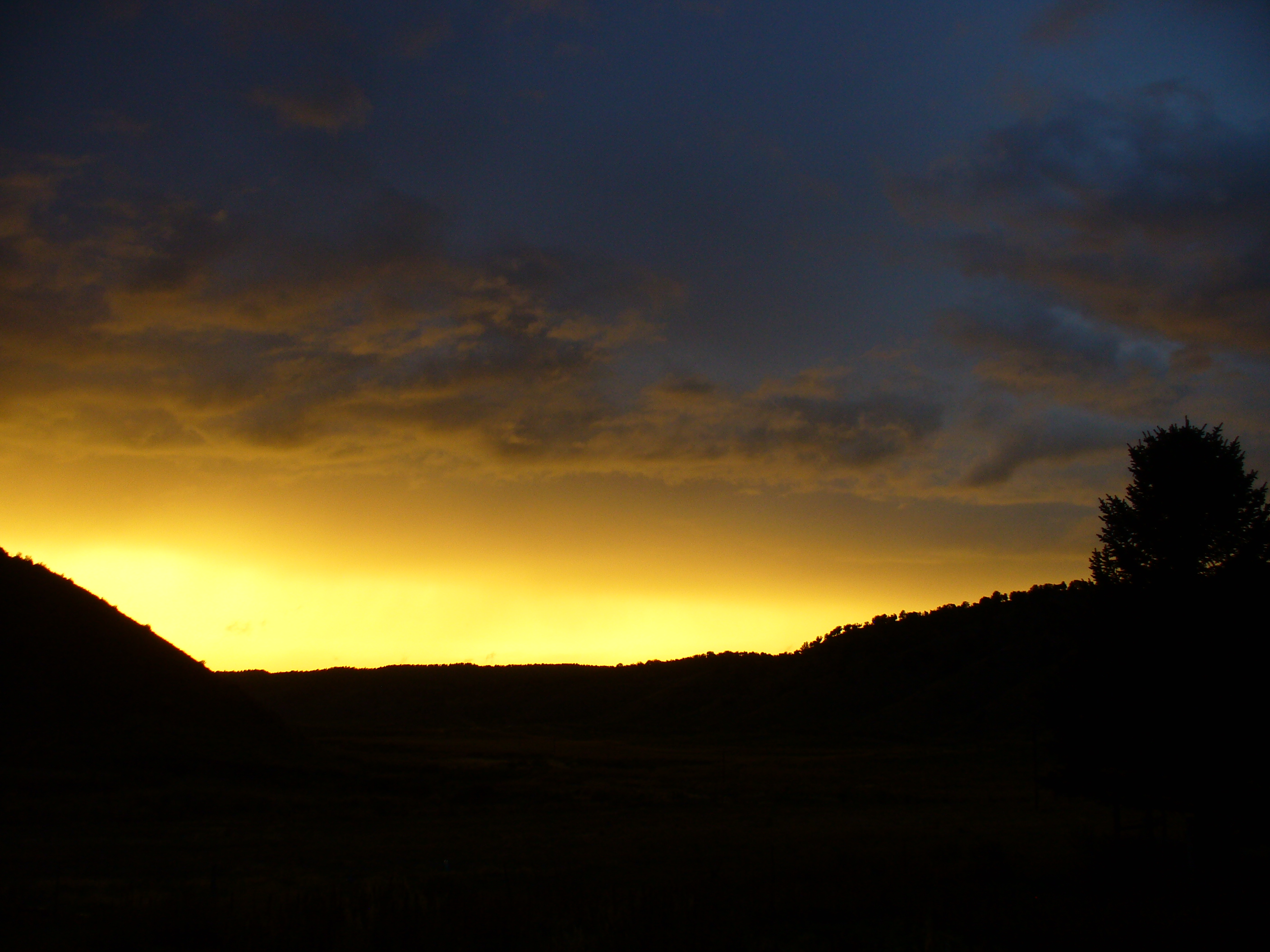
Little Hills sunset
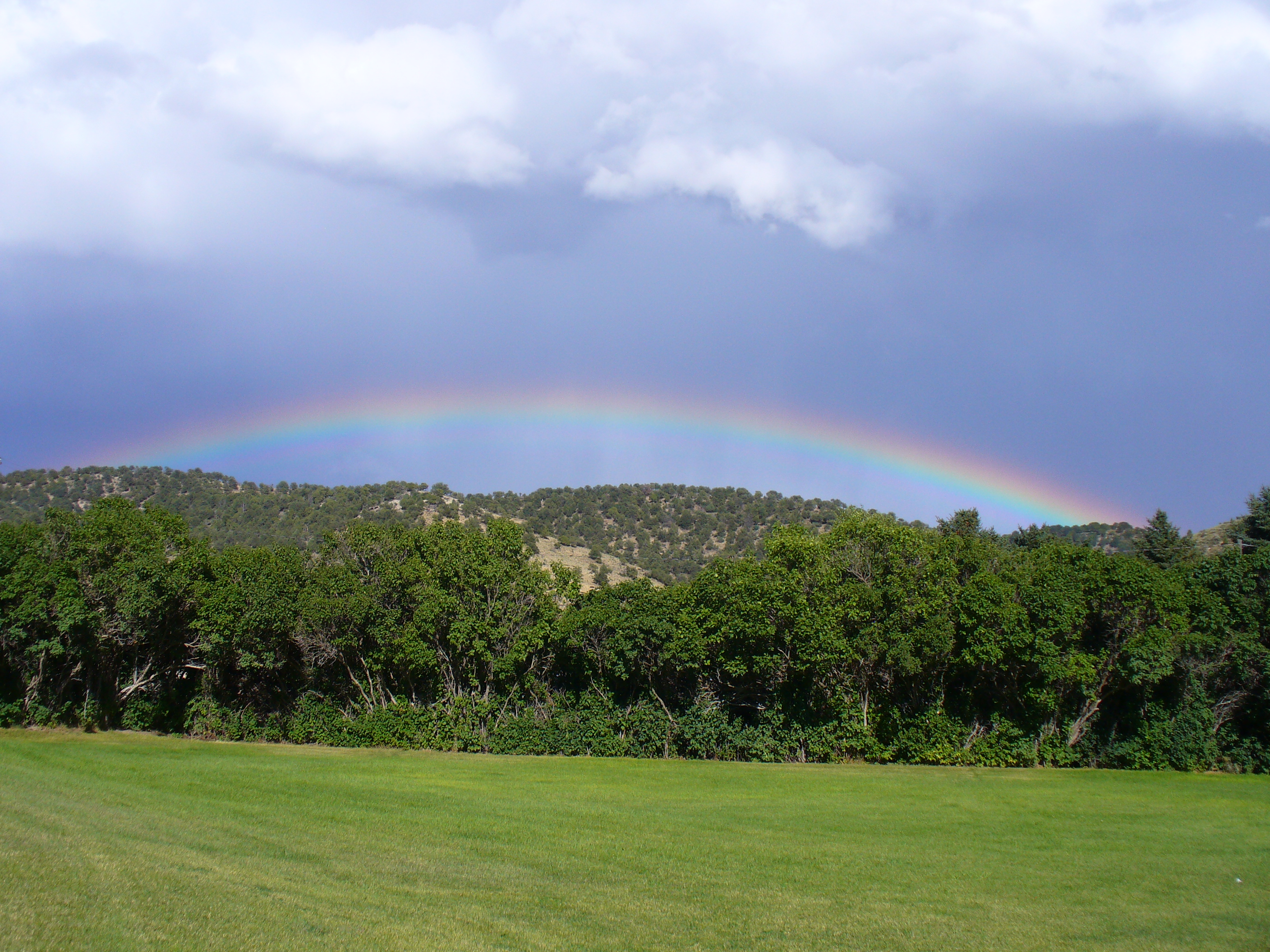
Little Hills rainbow
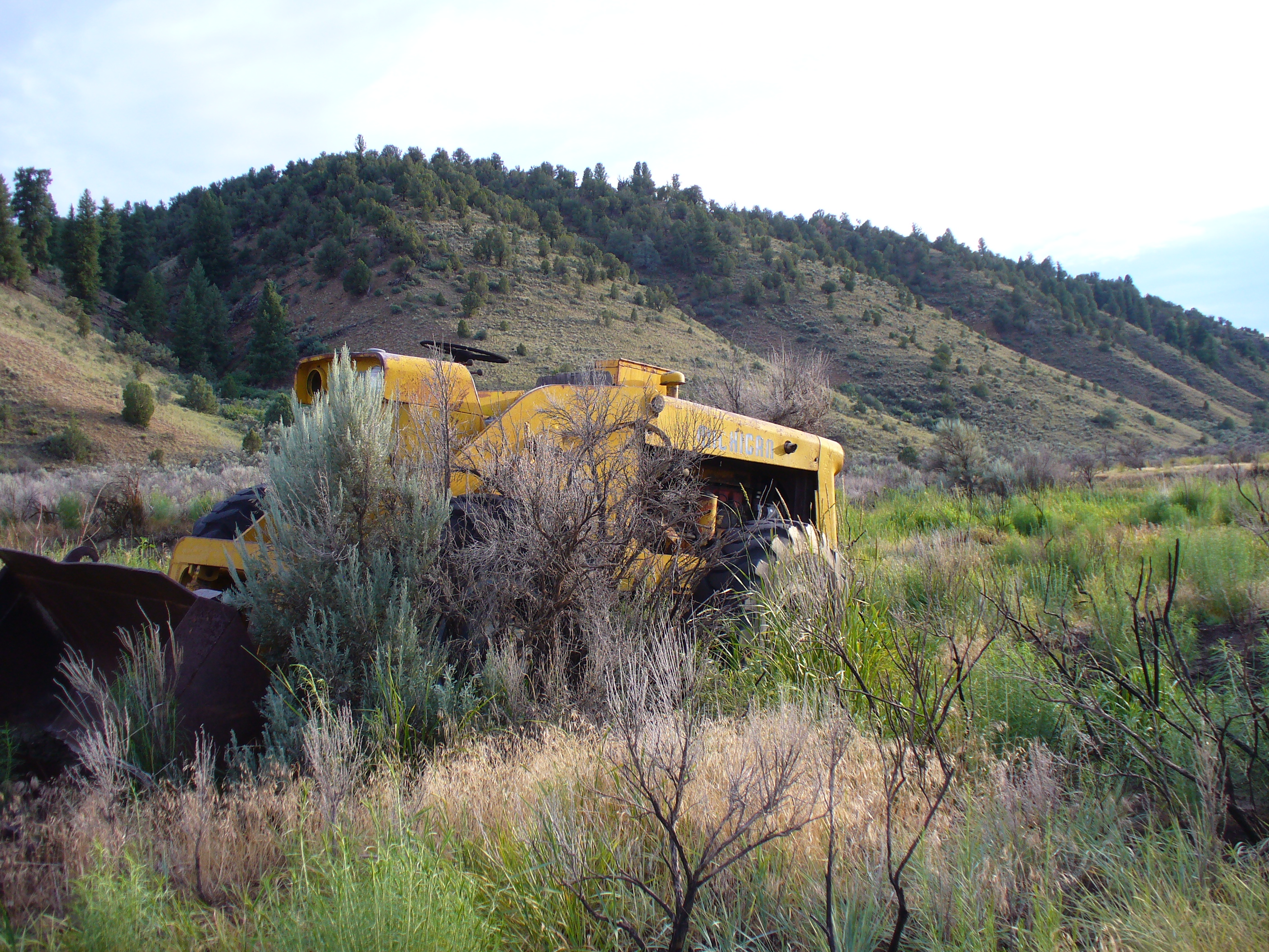
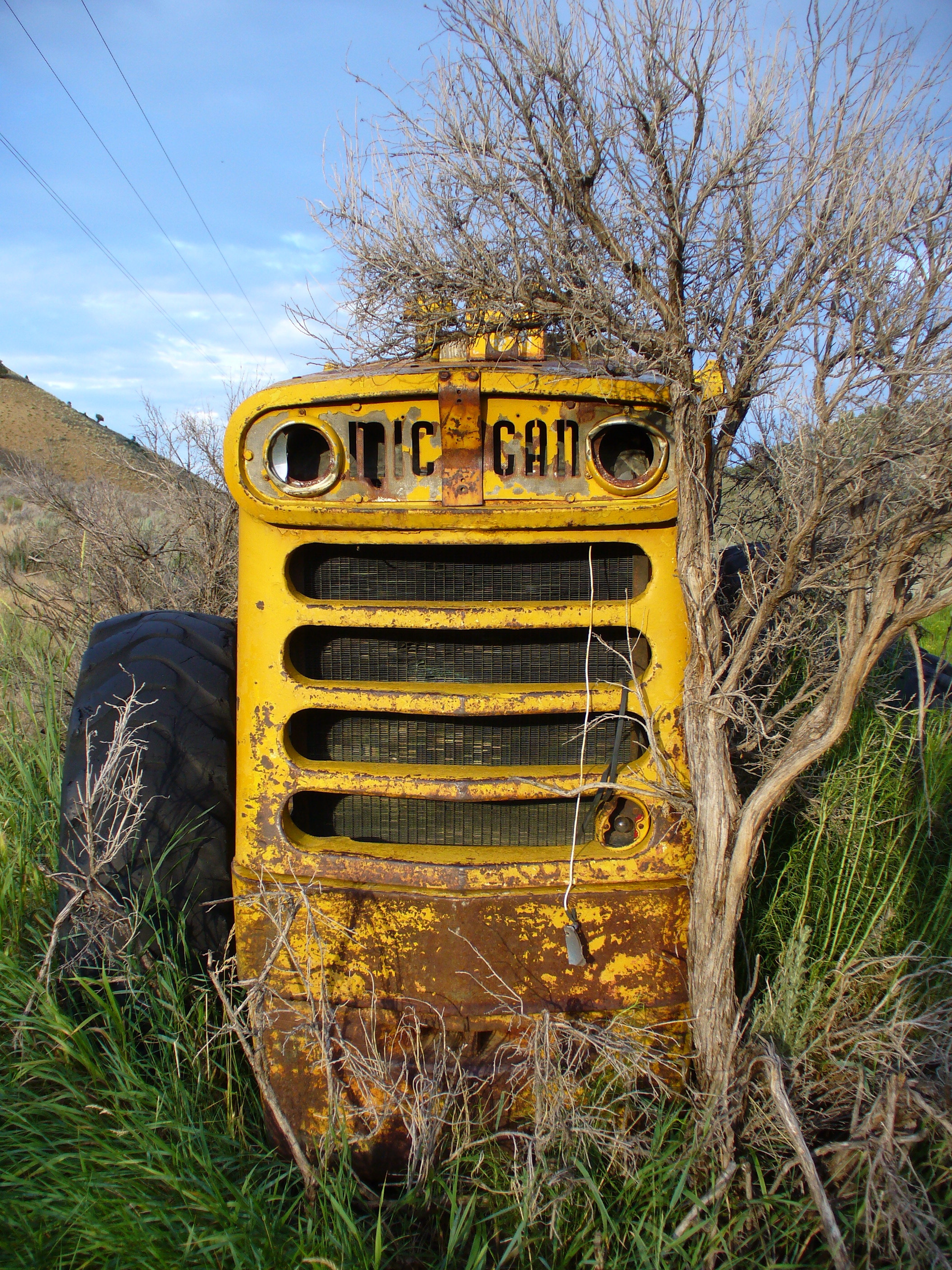
tractor vs sagebrush 7/2010c
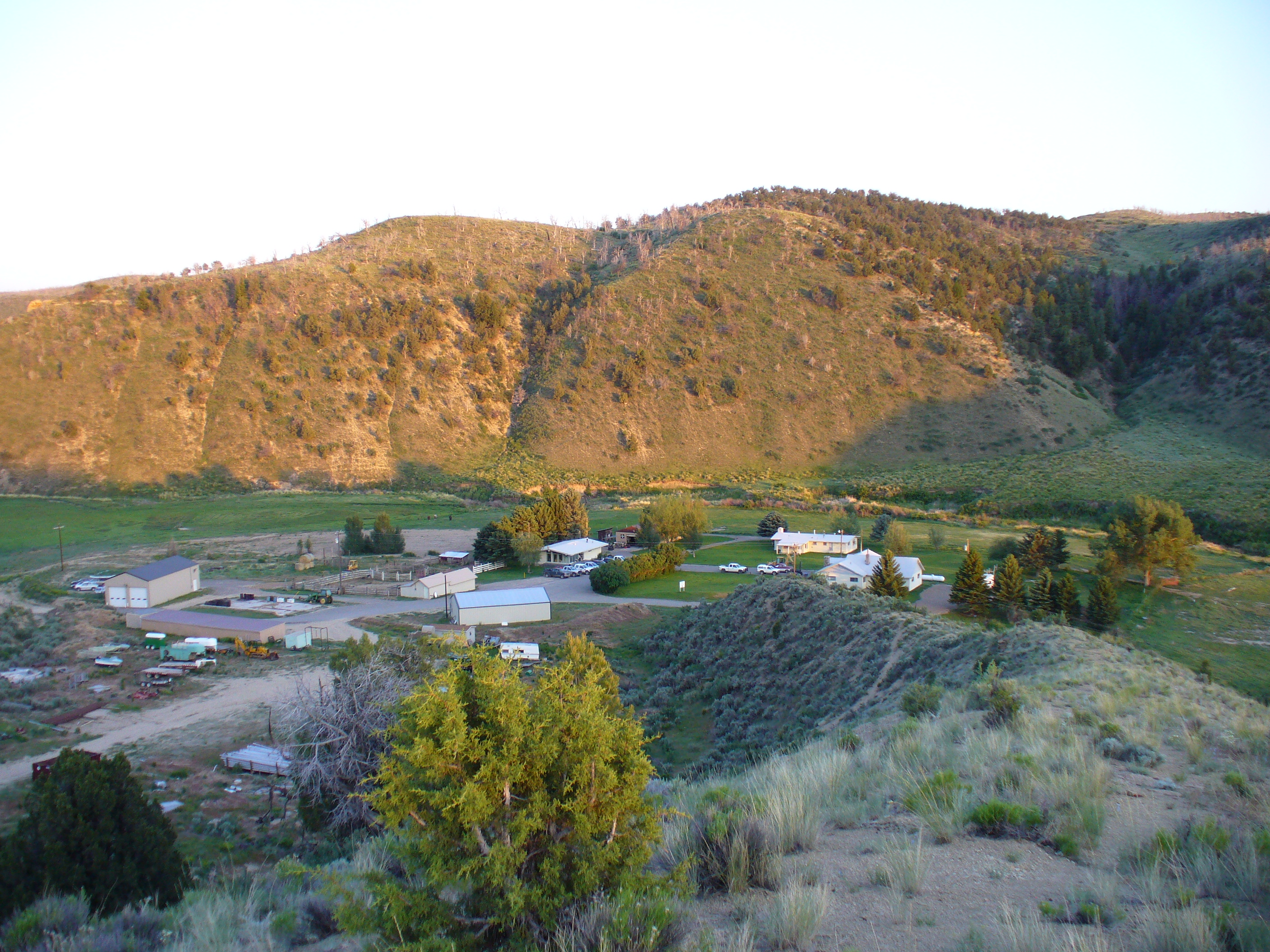
Little Hills Game Experiment Station 6/2010
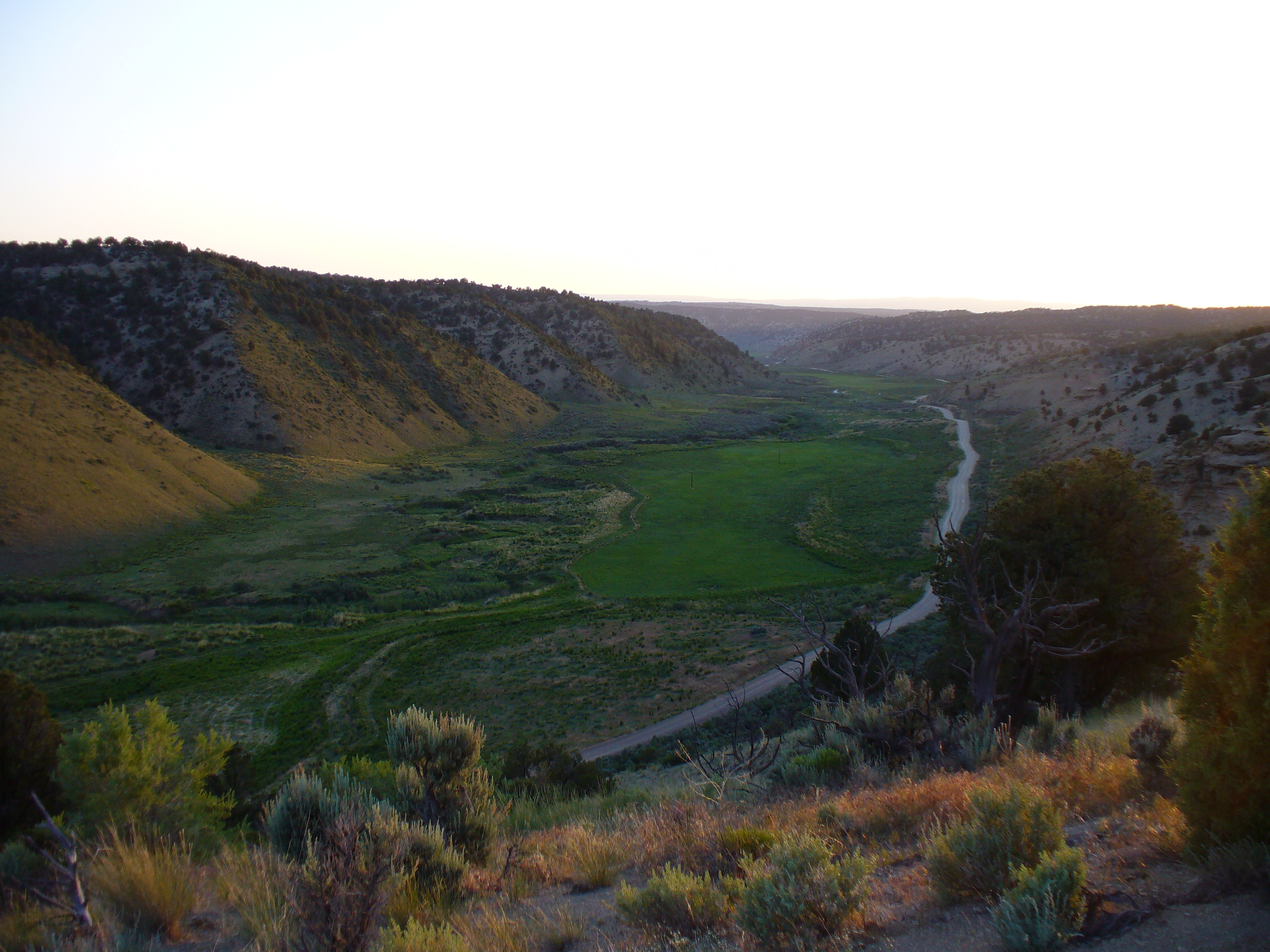
Little hills 6/2010
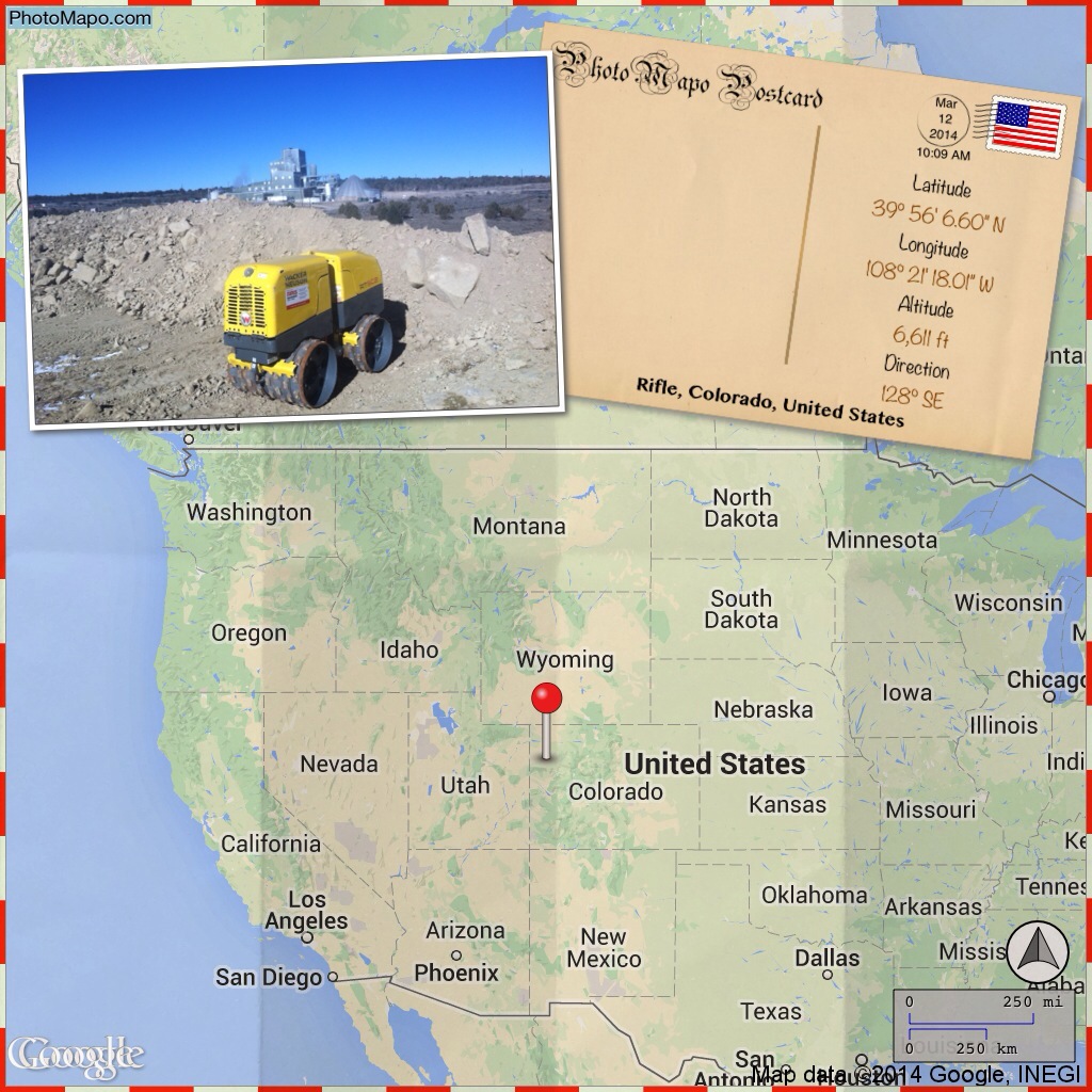
Rifle, CO, United States

Heron on the White River

1st pumpkin pie

1st pumpkin

some cats

nomming my finger

The orange one

The siamese-looking one

the black one

dad, a mom, some kids

grinning radish
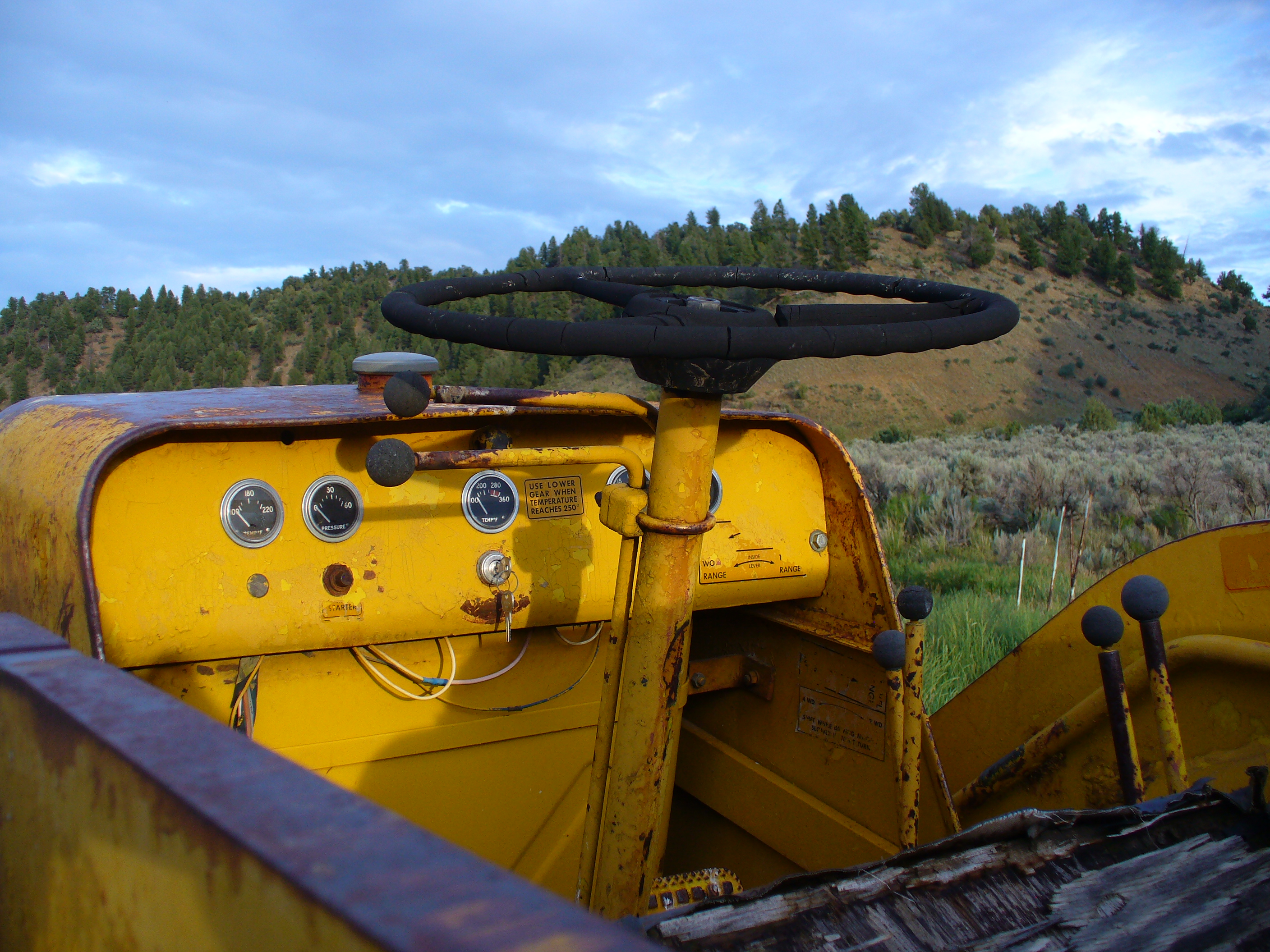
tractor vs sagebrush 7/2010d
tractor vs sagebrush 7/2010b

tractor vs sagebrush 7/2010a

hiding behind dad

shy brothers 2
Topographic Map of Rio Blanco County, CO, USA
Find elevation by address:

Places in Rio Blanco County, CO, USA:
Rangely
Pagoda Peak
North Little Marvine Peak
South Little Marvine Peak
Big Marvine Peak
White River City
Places near Rio Blanco County, CO, USA:
White River City
Colorado 64
CO-64, Meeker, CO, USA
Gray Hills Hp
Unnamed Road
Elk Mountain Inn
Meeker
Escarpment Peak
Devils Hole Mountain
8617 County Rd 8
Juniper Mountain
Cross Mountain Ranch
Axial
Maybell
Parachute
68 Meadow Creek Dr
Co Rd, Rifle, CO, USA
8968 Co Rd 300
165 Bellis St
Aldrich Lakes
Recent Searches:
- Elevation of Corso Fratelli Cairoli, 35, Macerata MC, Italy
- Elevation of Tallevast Rd, Sarasota, FL, USA
- Elevation of 4th St E, Sonoma, CA, USA
- Elevation of Black Hollow Rd, Pennsdale, PA, USA
- Elevation of Oakland Ave, Williamsport, PA, USA
- Elevation of Pedrógão Grande, Portugal
- Elevation of Klee Dr, Martinsburg, WV, USA
- Elevation of Via Roma, Pieranica CR, Italy
- Elevation of Tavkvetili Mountain, Georgia
- Elevation of Hartfords Bluff Cir, Mt Pleasant, SC, USA