Elevation of Rigel Ave, Lompoc, CA, USA
Location: United States > California > Santa Barbara County > Lompoc >
Longitude: -120.46669
Latitude: 34.708334
Elevation: 114m / 374feet
Barometric Pressure: 100KPa
Elevation Map:
Satellite Map:
Related Photos:

NASA's OCO-2 satellite launch tonight had to be rescheduled 24 hours due to a cooling system issue. "@IamOCO2: So disappointed that we didn't go. Same time same place tomorrow folks! _#OCO2"_#NASASocial#
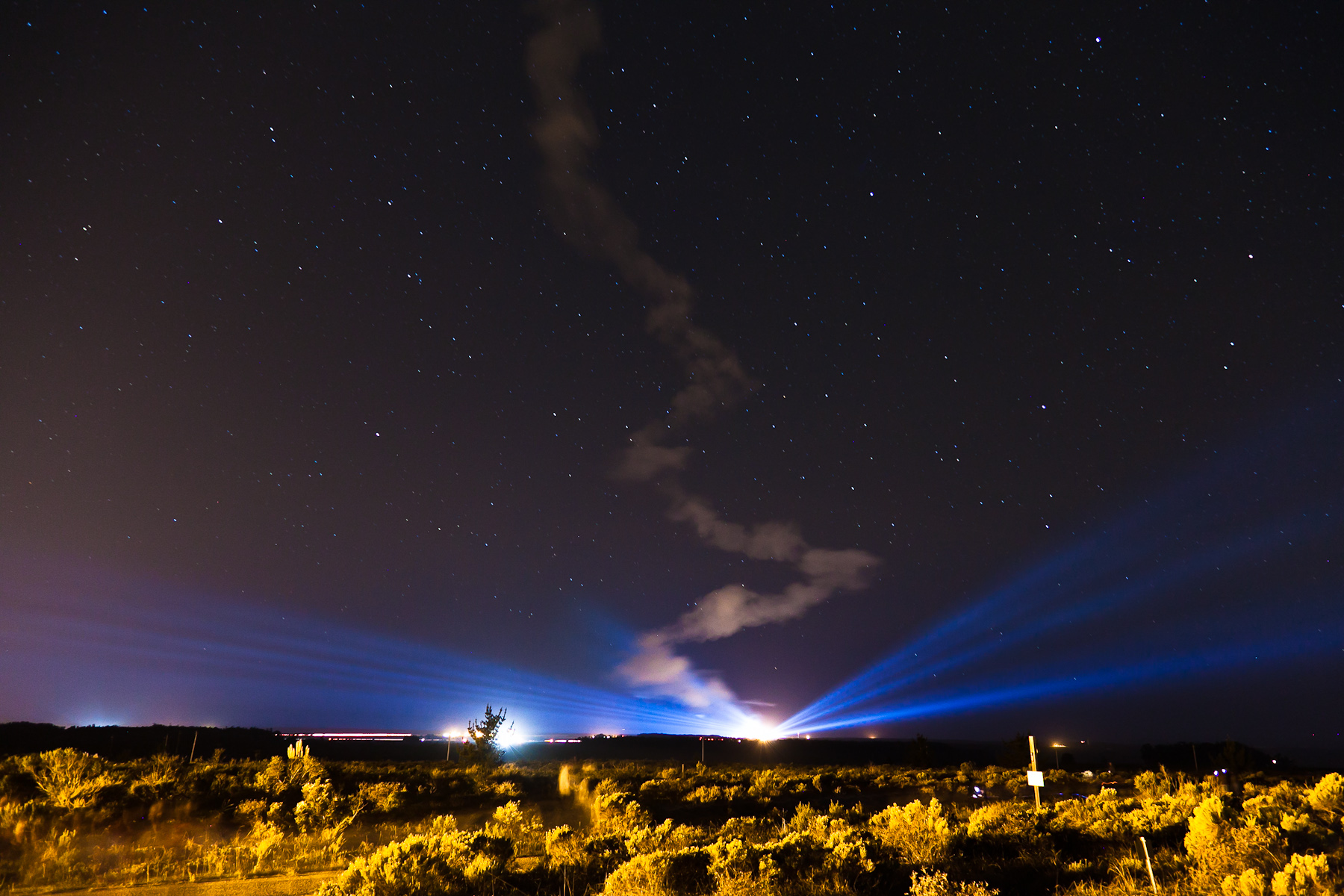
Ad Astra
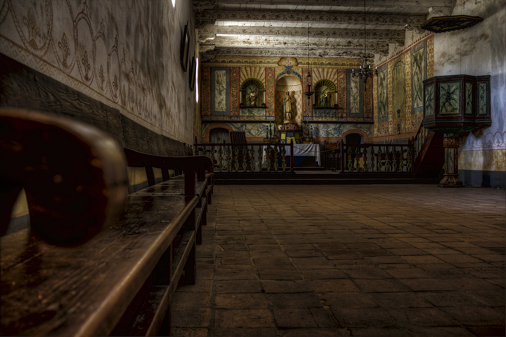
Church Altar View, Mission La Purisima Concepcion, Lompoc CA (C61_3802-3804-cus-LR-NS-PS)
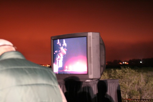
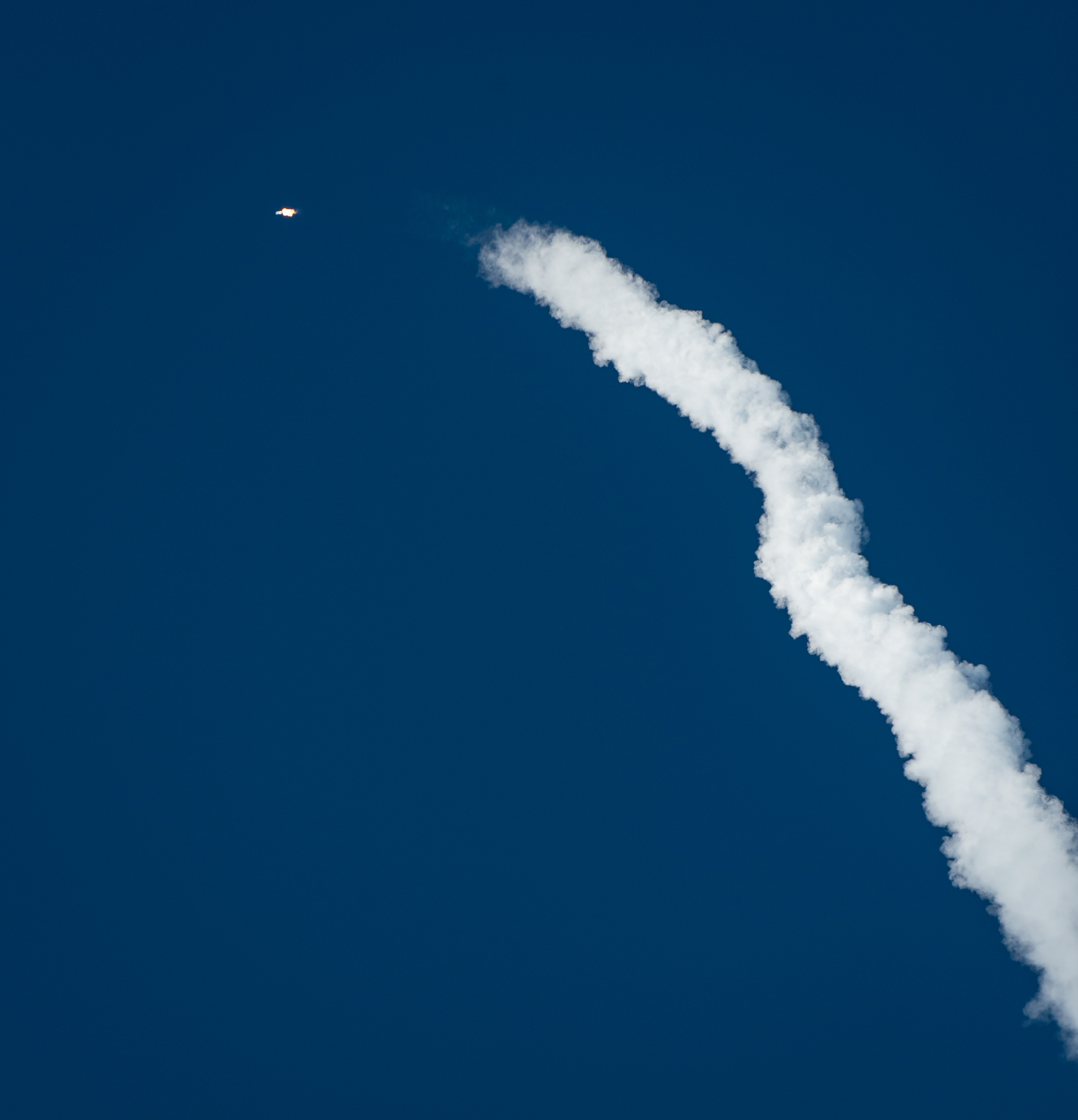
View of the launch
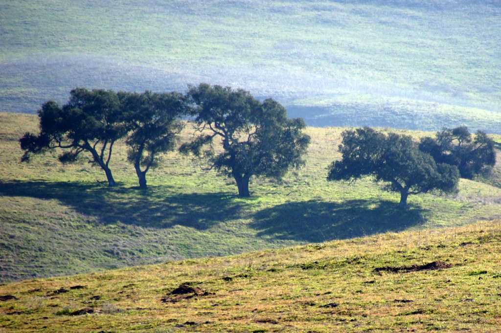
Before The Haze Burns Off
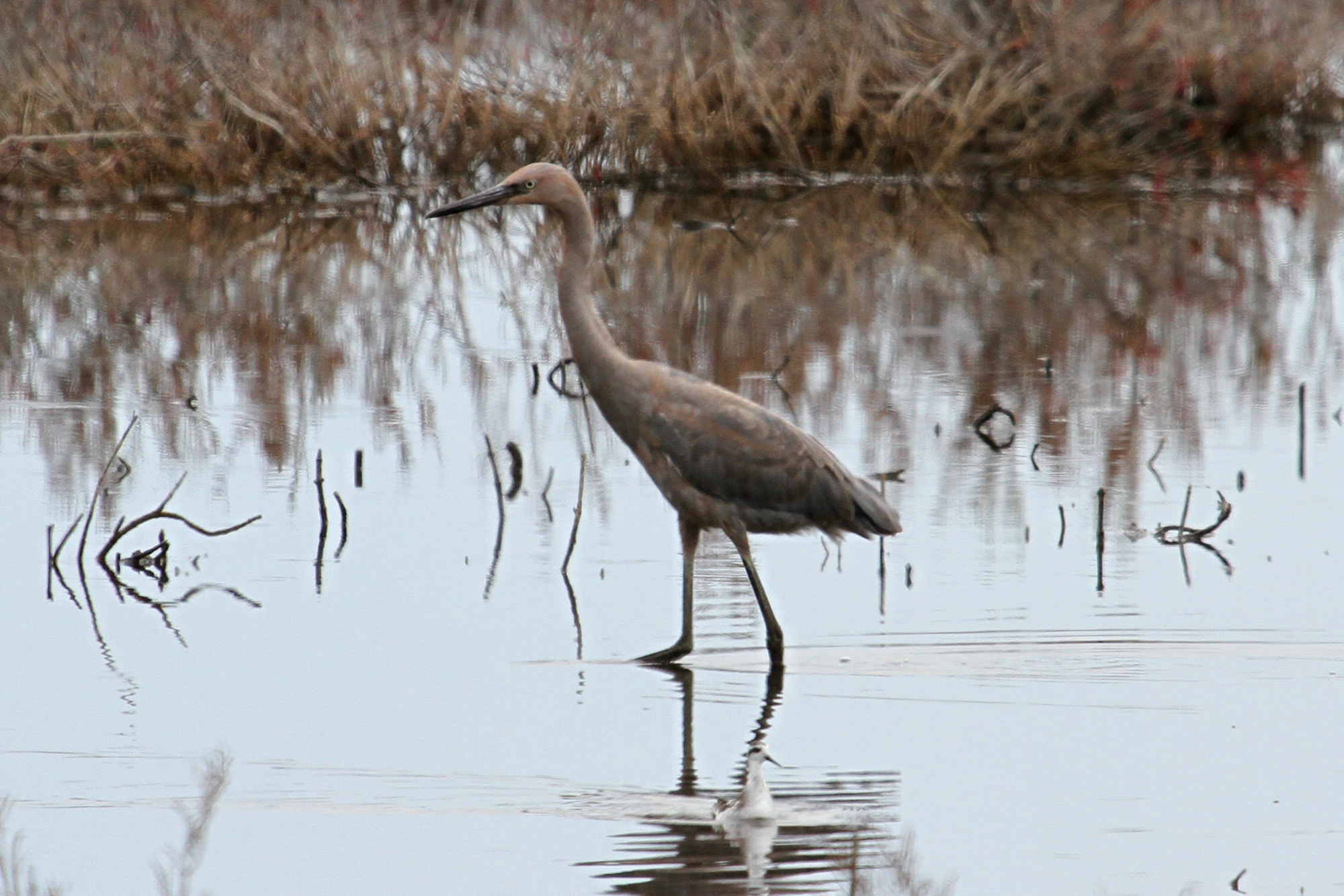
Reddish Egret (Egretta rufescens)

Surf Beach and Vandenberg Air Force Base, Lompoc, California
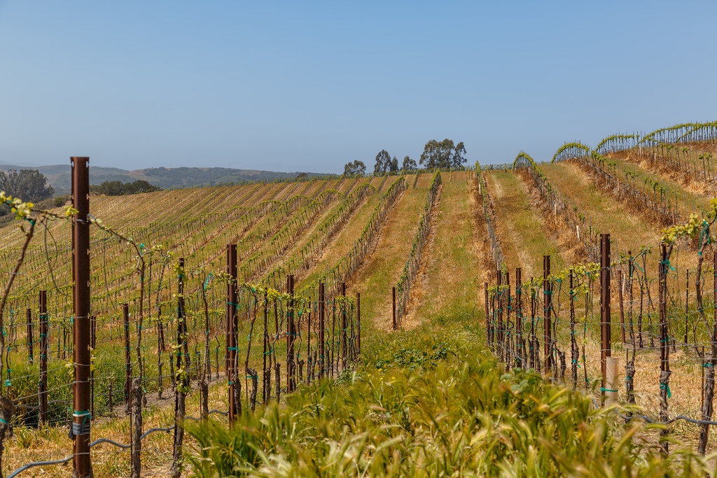
Early Spring at Babcock Winery and Vineyards
Wonderful view
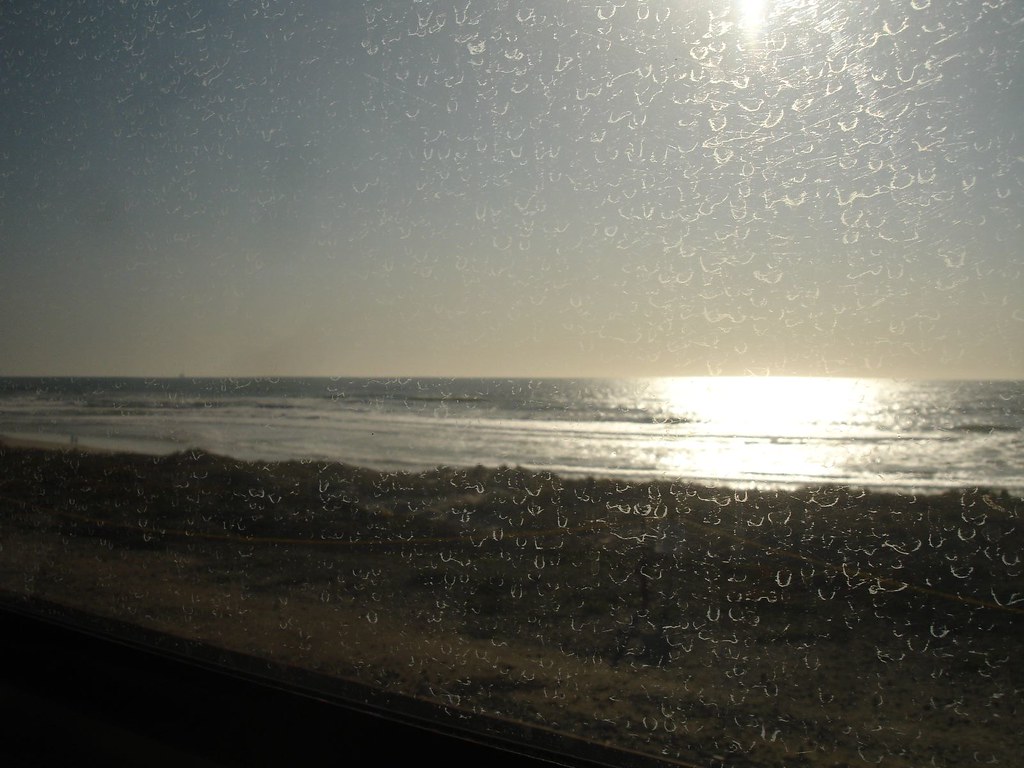
Views from the lounge car. #amtrak #california #beach #nature #travel

Orbital Sciences Vandenberg Tour (201302110007HQ)
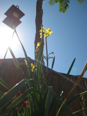
ANTS EYE VIEW
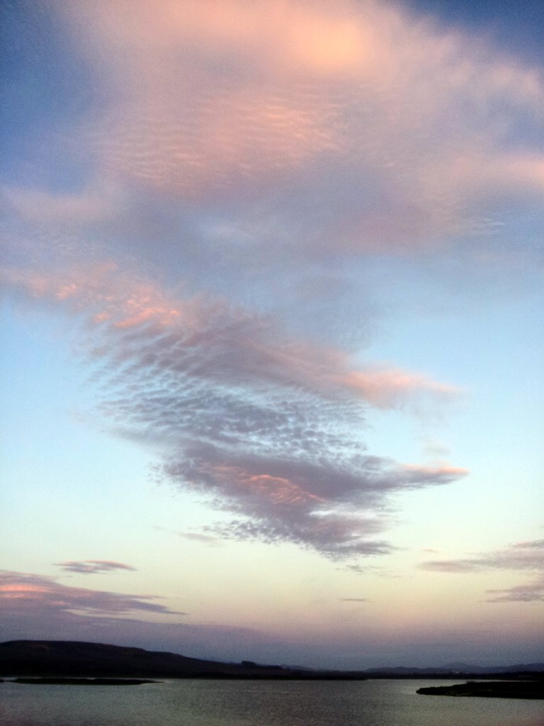
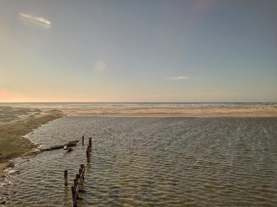
Sunset at Ocean Beach Park

View on walk

Orbital Sciences Vandenberg Tour (201302110011HQ)
The Overlook at Hilliard Bruce Vineyard

Melville Winery and Vinyards
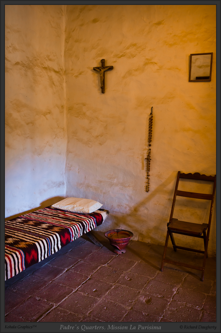
Padre's quarters, Mission La Purisima

La Purisima altar, portrait - HDR
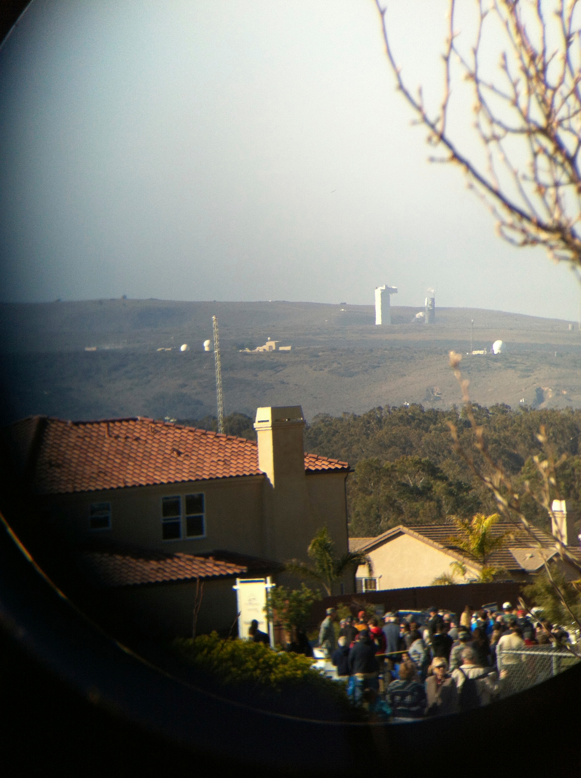
the view of the launch through binoculars

Padre room and side exit

Excuse Me While I Kiss The Sky
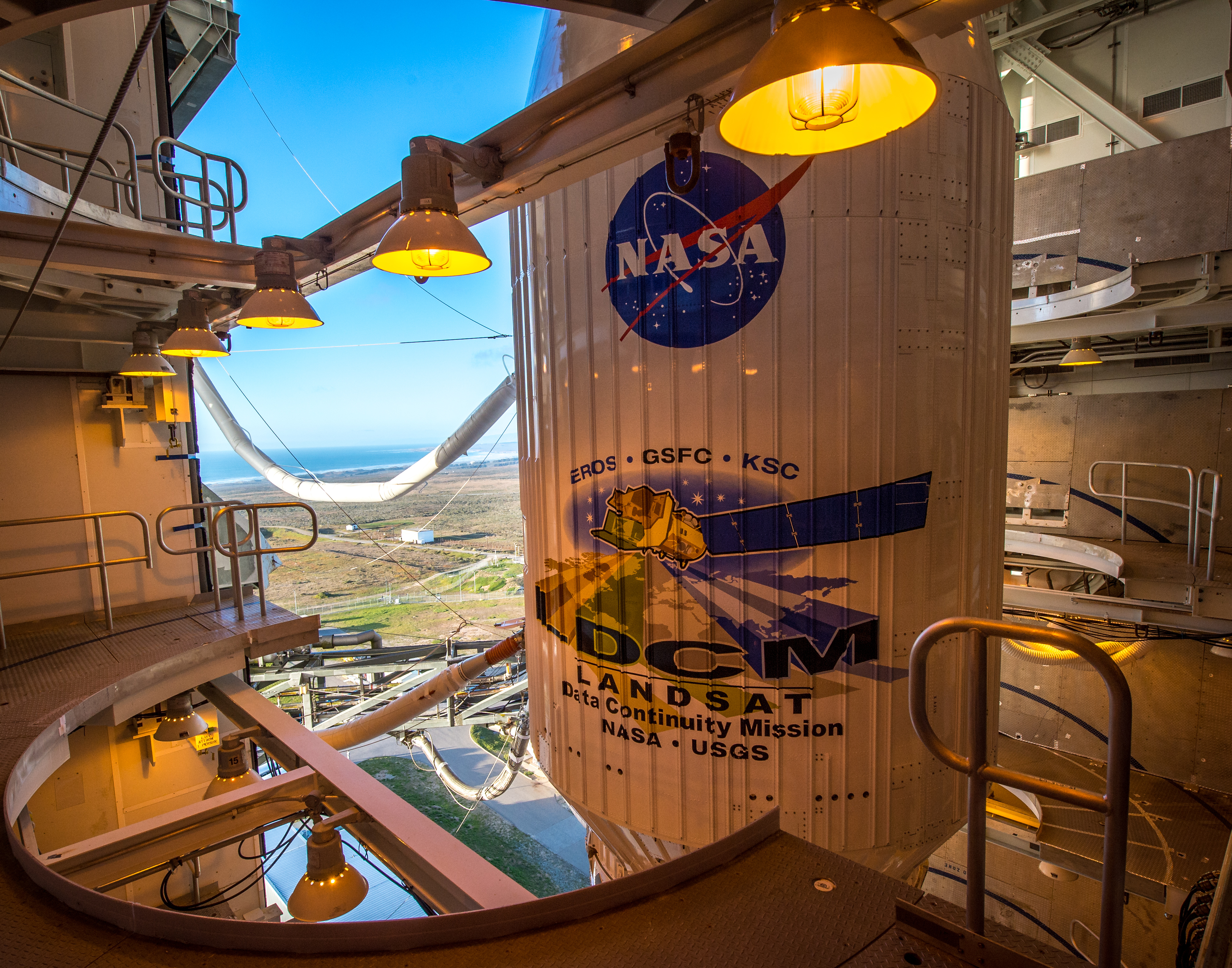
LDCM Prelaunch (201302100012HQ)
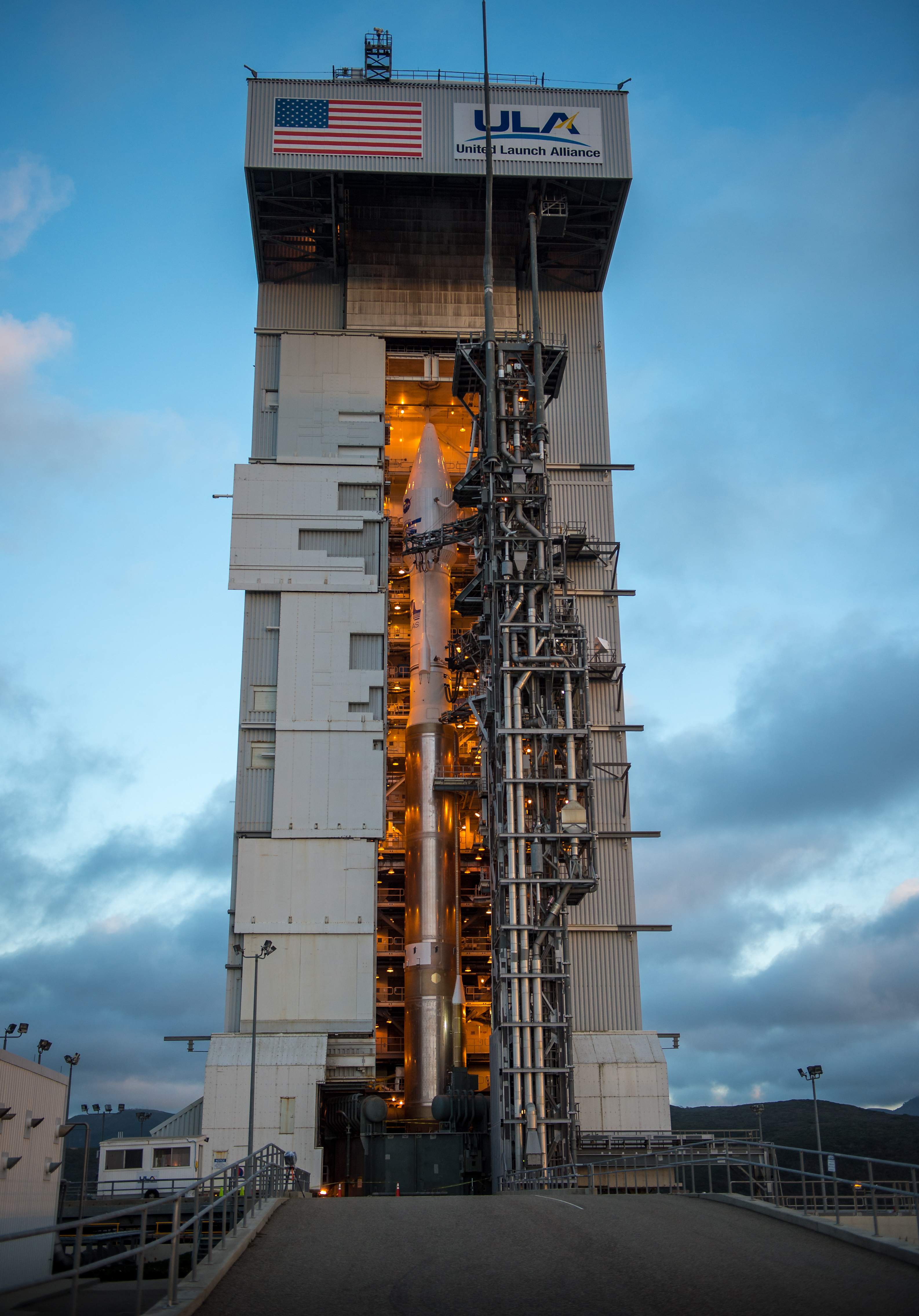
LDCM Prelaunch (201302100013HQ)

Landsat NASA Social (201302100001HQ)

Fire in the sky

La Purisima Mission State Park
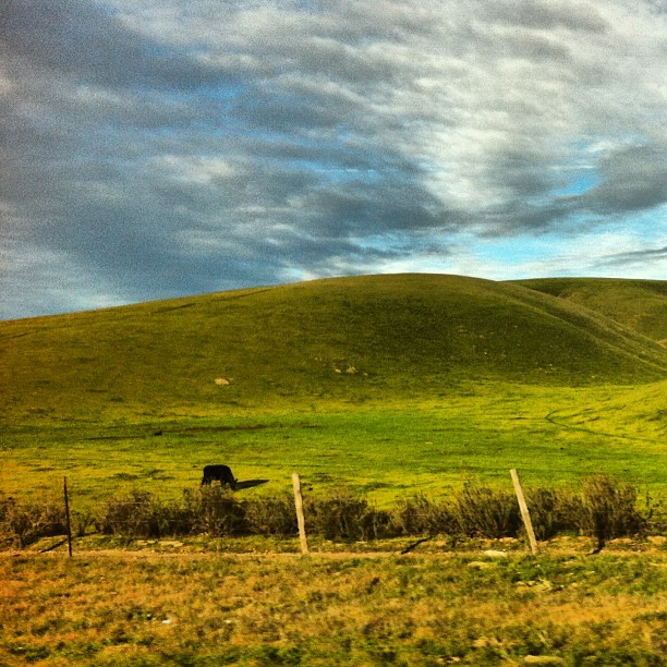
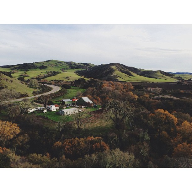
From #city #life to #country #living and #cows
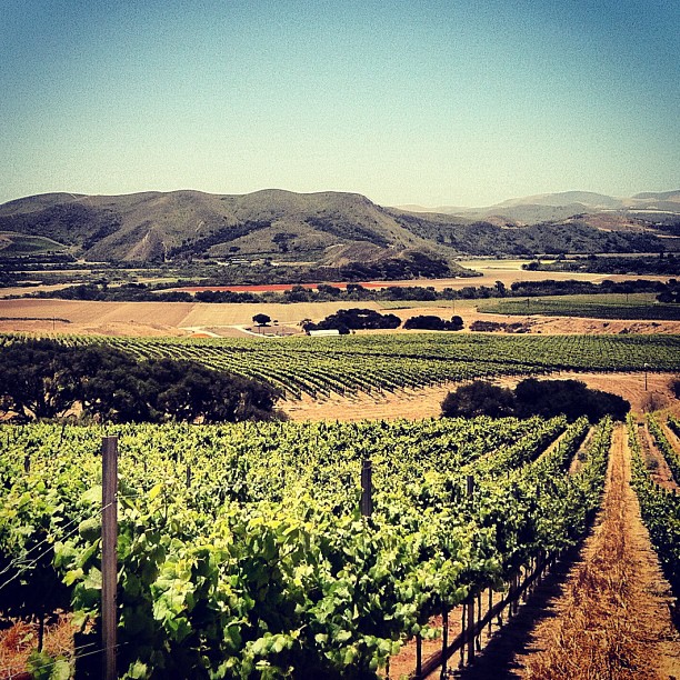
Pinot Noir... It's coming...
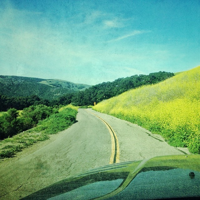
Hwy 1 winds through the southern hills of Lompoc, California.
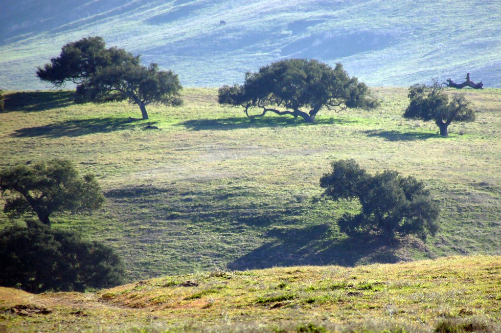
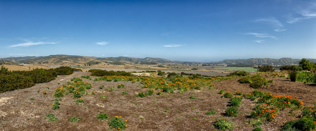
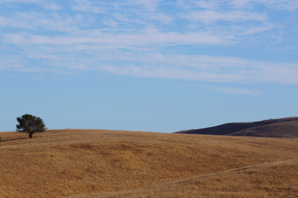
California Coastal Rangeland
enroute to Jalama...
Color For Peggy
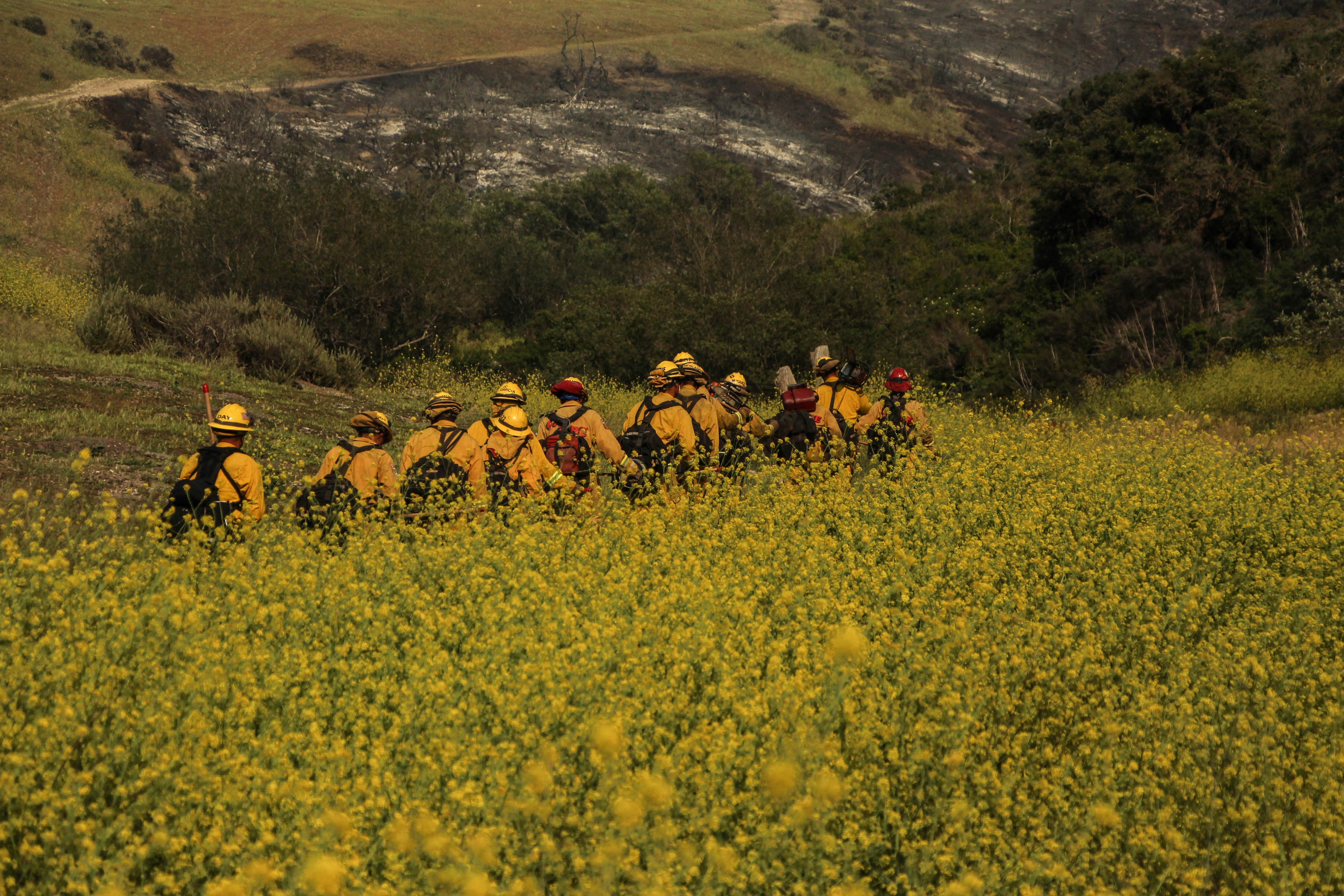
Miguelito Fire

Scenes from the SoCal Coast
LDCM Launch (201302110005HQ)

Surf, CA
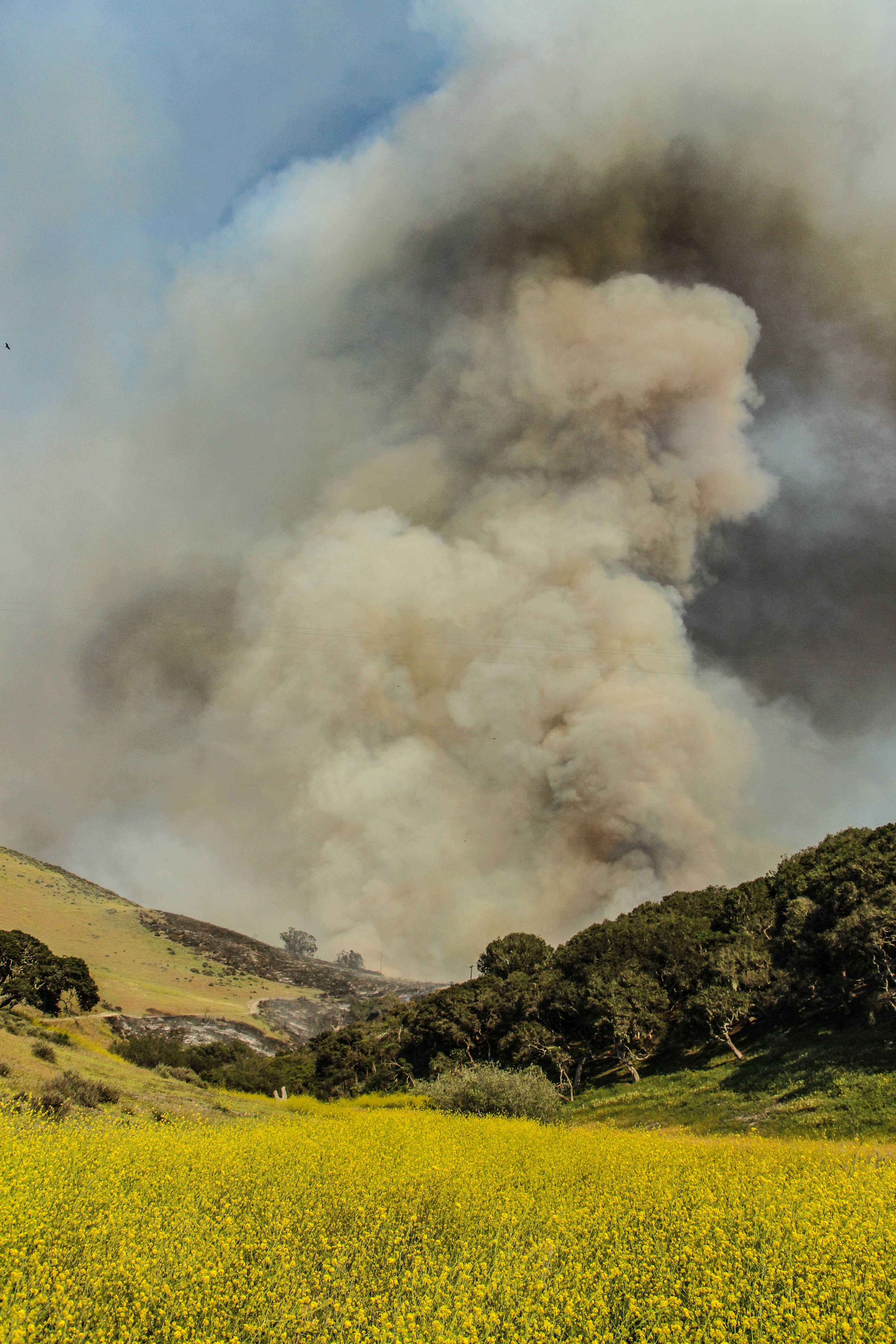
Miguelito Fire
Topographic Map of Rigel Ave, Lompoc, CA, USA
Find elevation by address:

Places near Rigel Ave, Lompoc, CA, USA:
Vandenberg Village
300 Burton Mesa Blvd
697 Mercury Ave
Chandler Dr, Lompoc, CA, USA
500 Cooper Dr
1344 Marigold Way
1117 N H St
900 N H St
1105 N Poppy St
East Cherry Avenue
Lompoc
Vandenberg Air Force Base
New Mexico Ave & 13th St
2900 Flora
W Ocean Ave, Lompoc, CA, USA
890 Lasalle Canyon Rd
Vandenberg Air Force Base
Bell St, Los Alamos, CA, USA
Los Alamos
Recent Searches:
- Elevation of 6 Rue Jules Ferry, Beausoleil, France
- Elevation of Sattva Horizon, 4JC6+G9P, Vinayak Nagar, Kattigenahalli, Bengaluru, Karnataka, India
- Elevation of Great Brook Sports, Gold Star Hwy, Groton, CT, USA
- Elevation of 10 Mountain Laurels Dr, Nashua, NH, USA
- Elevation of 16 Gilboa Ln, Nashua, NH, USA
- Elevation of Laurel Rd, Townsend, TN, USA
- Elevation of 3 Nestling Wood Dr, Long Valley, NJ, USA
- Elevation of Ilungu, Tanzania
- Elevation of Yellow Springs Road, Yellow Springs Rd, Chester Springs, PA, USA
- Elevation of Rēzekne Municipality, Latvia