Elevation of Flora, Lompoc, CA, USA
Location: United States > California > Santa Barbara County > Lompoc >
Longitude: -120.39245
Latitude: 34.6876136
Elevation: 148m / 486feet
Barometric Pressure: 100KPa
Elevation Map:
Satellite Map:
Related Photos:

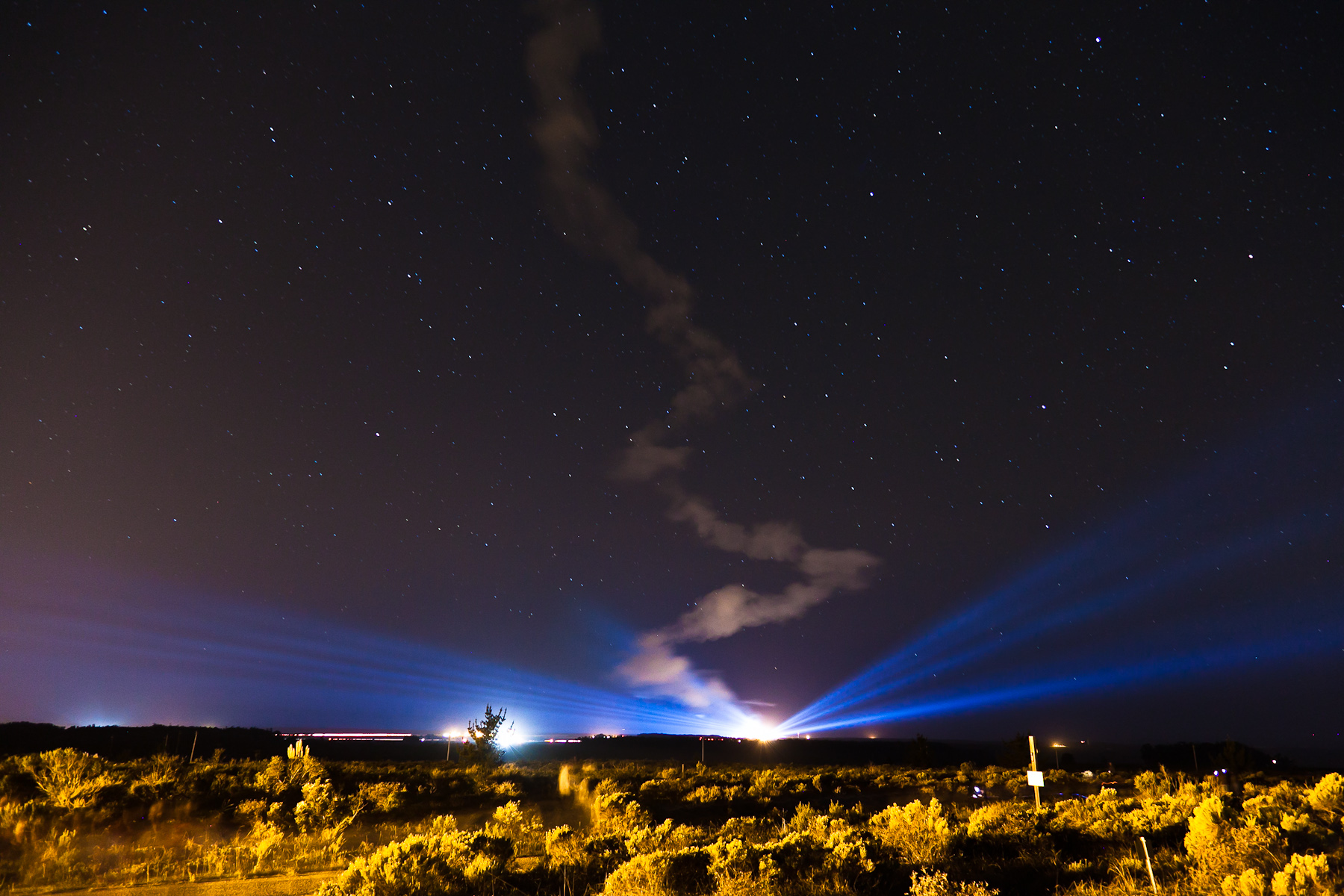
NASA's OCO-2 satellite launch tonight had to be rescheduled 24 hours due to a cooling system issue. "@IamOCO2: So disappointed that we didn't go. Same time same place tomorrow folks! _#OCO2"_#NASASocial#
Ad Astra
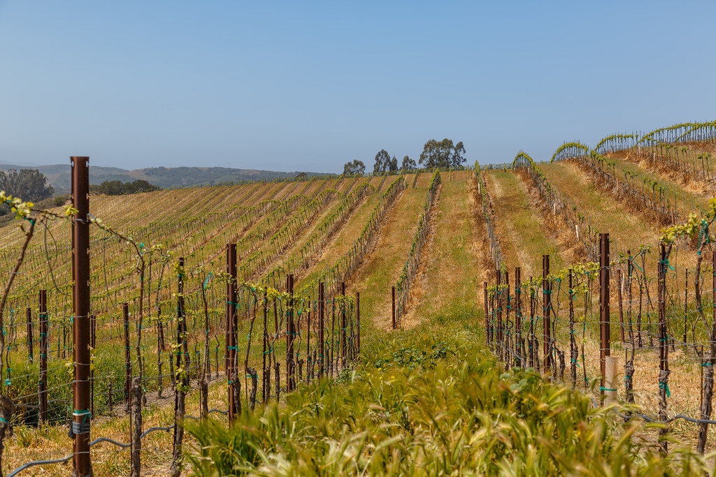
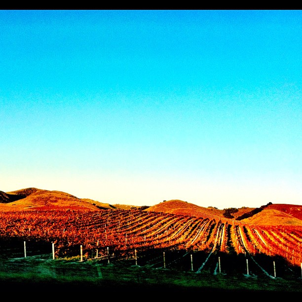
Early Spring at Babcock Winery and Vineyards
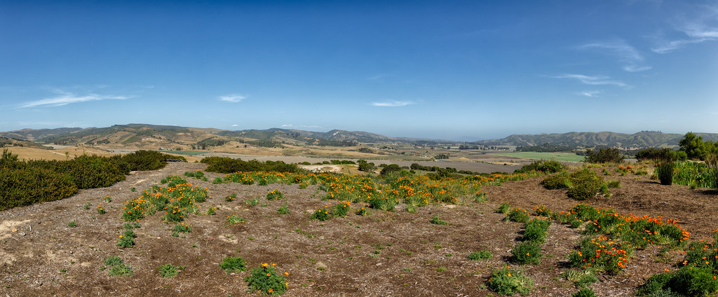
The Overlook at Hilliard Bruce Vineyard
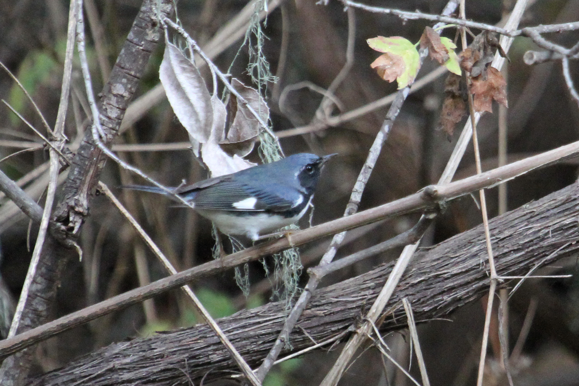
Black-throated Blue Warbler (Setophaga caerulescens)
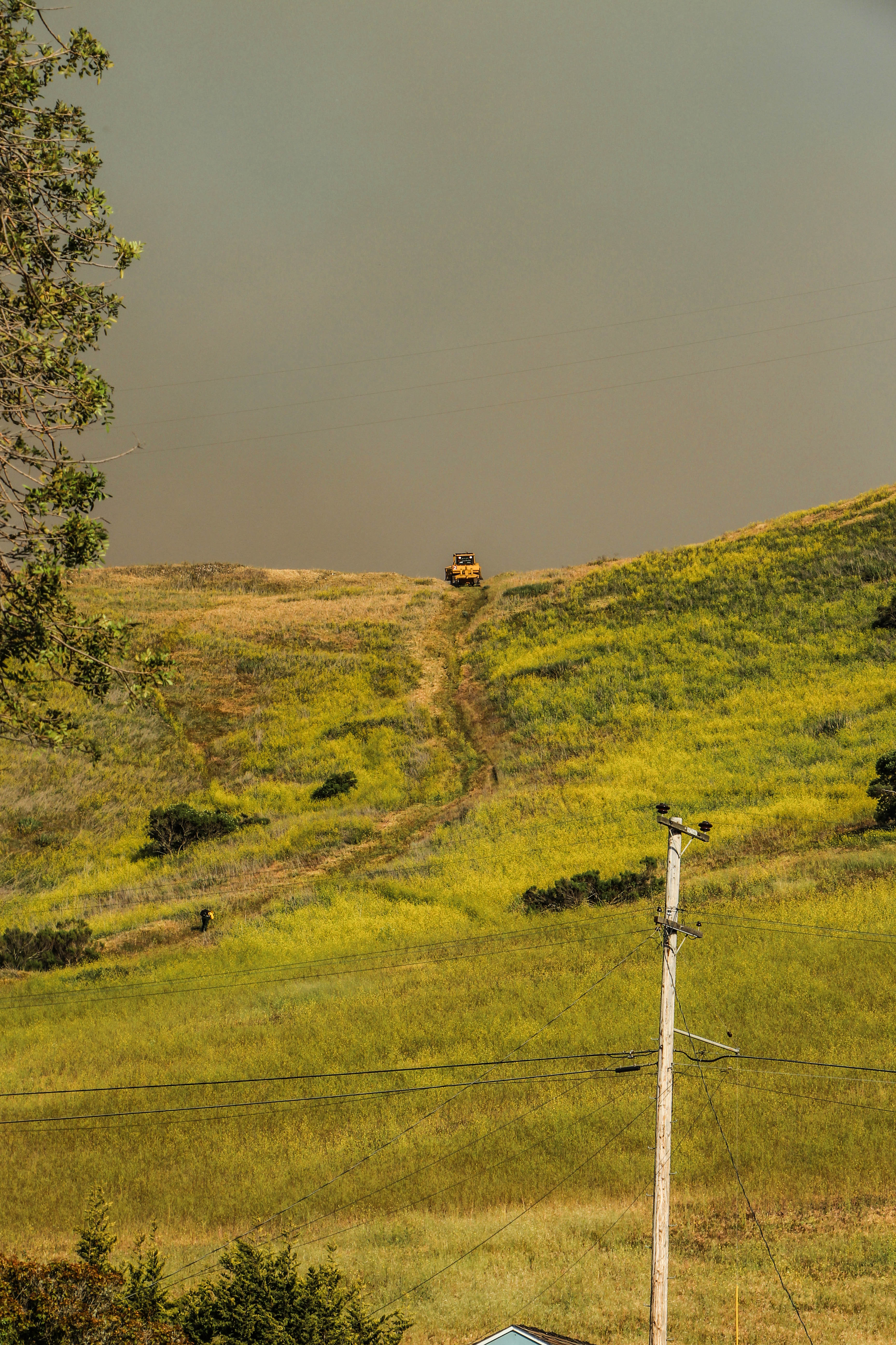
Before The Haze Burns Off
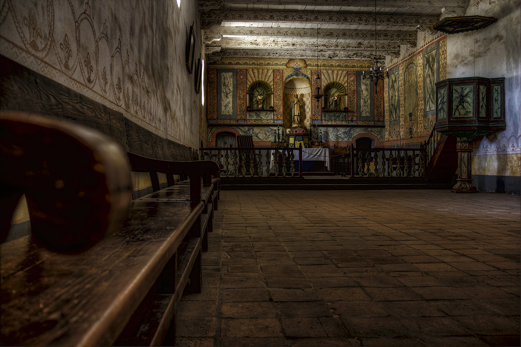
Church Altar View, Mission La Purisima Concepcion, Lompoc CA (C61_3802-3804-cus-LR-NS-PS)
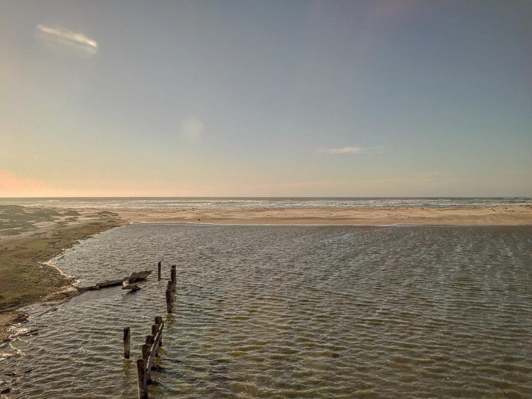
Views from the lounge car. #amtrak #california #beach #nature #travel
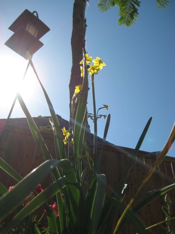
ANTS EYE VIEW

Altar, Mission La Purisima Concepcion, Lompoc CA (C61_3805-3807-cus-LR-NS-PS)

View on walk
2013-02-26_12-53-25_474
view from sanford tasting room

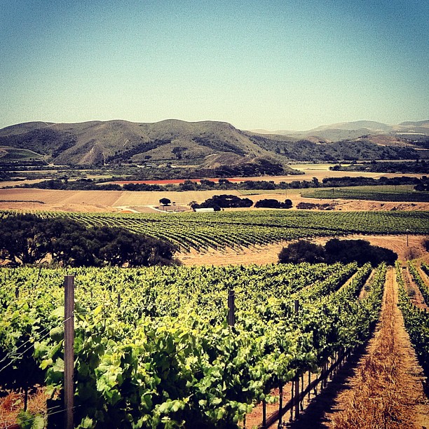
Melville Winery and Vinyards

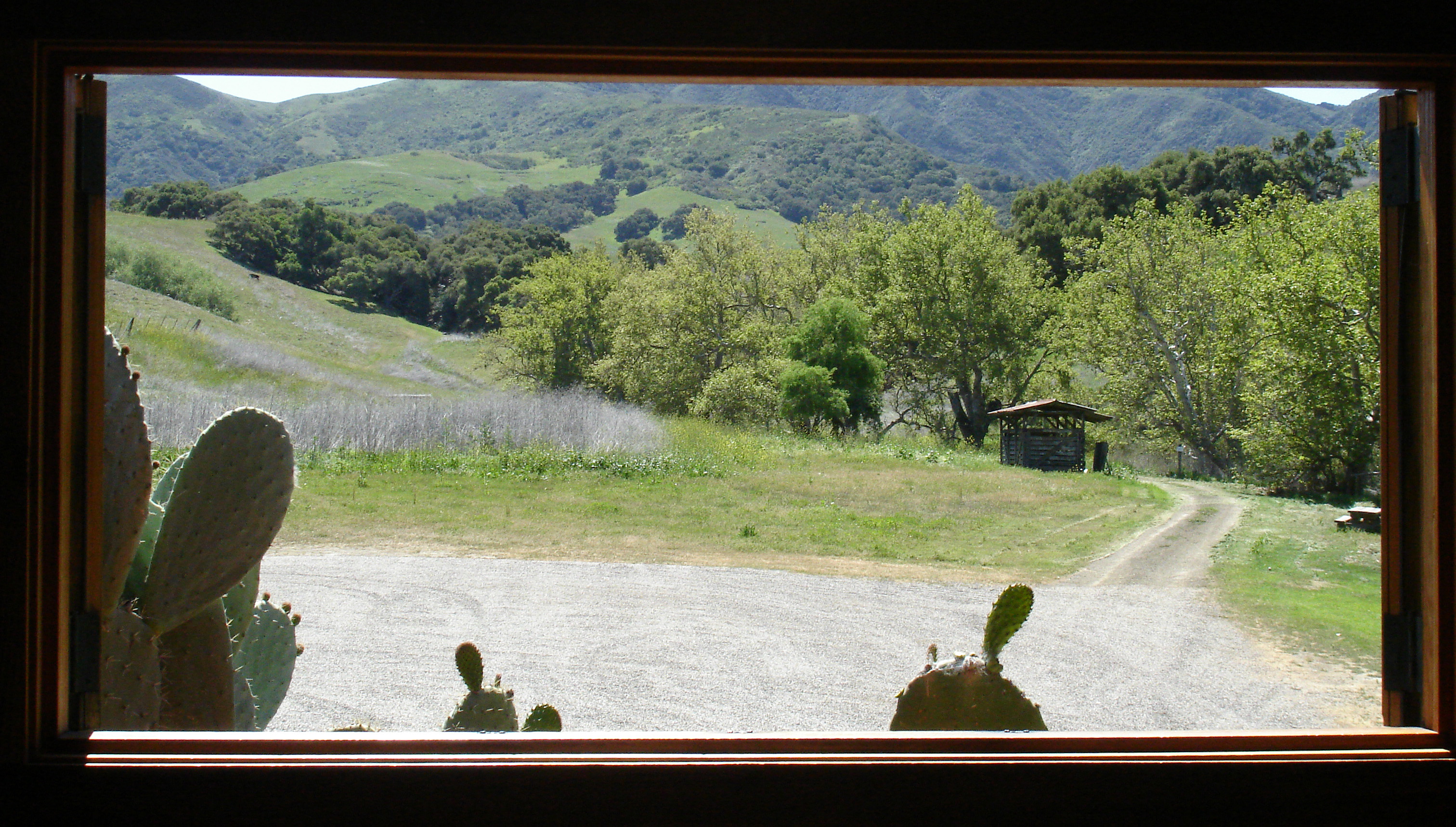
A view dear to my heart
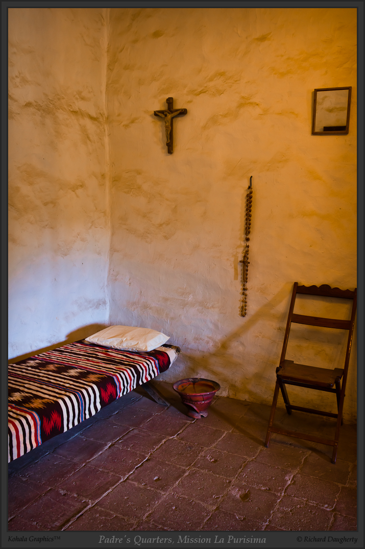
Padre's quarters, Mission La Purisima

La Purisima altar, portrait - HDR

Padre room and side exit
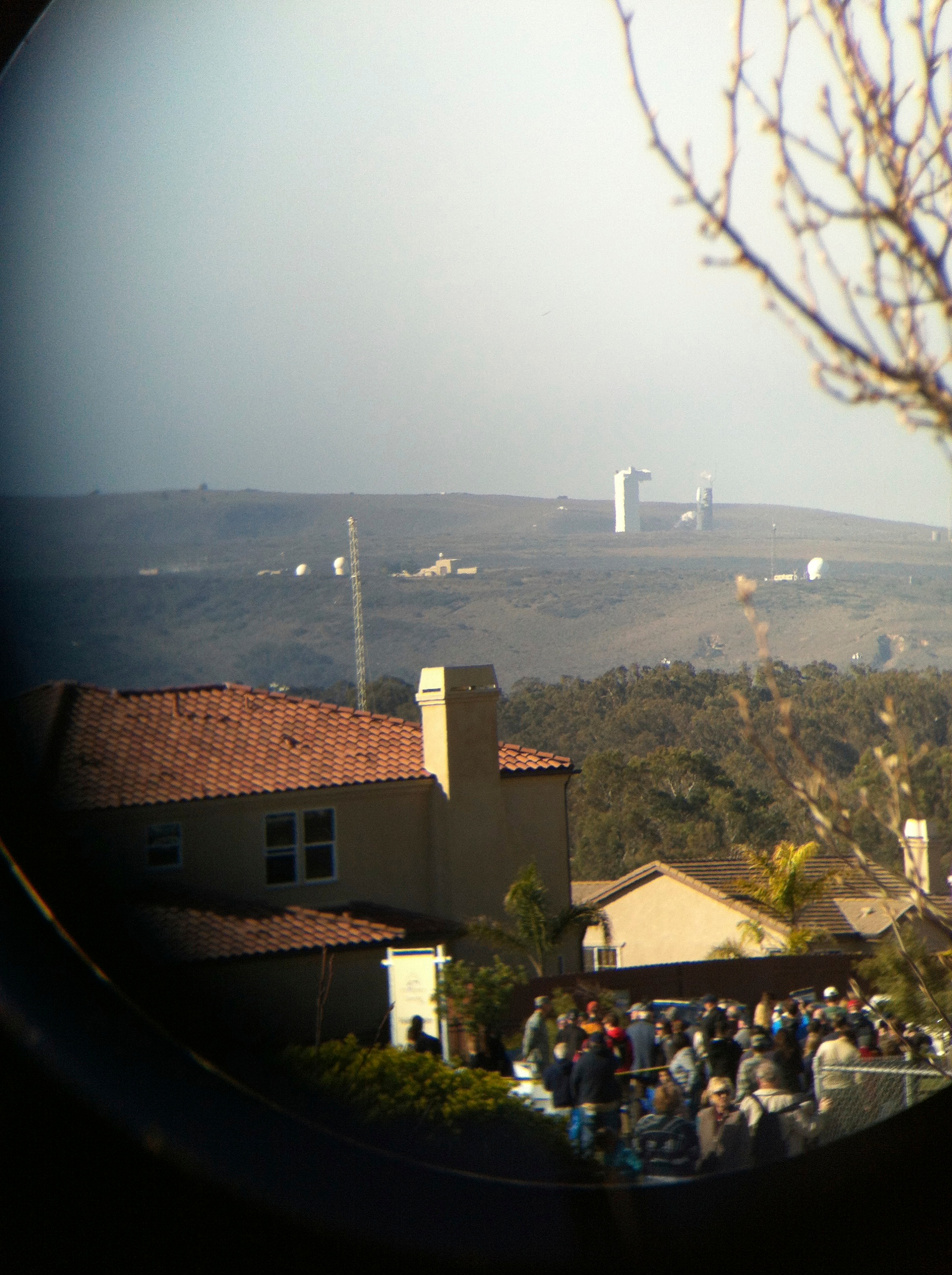
the view of the launch through binoculars

East colonnade, padres' quarters
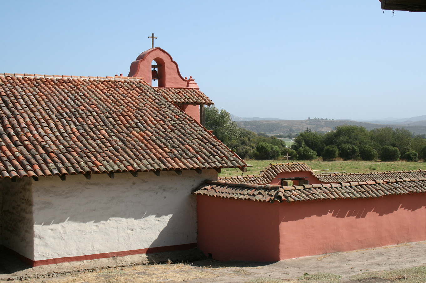
Bell tower and cemetery, La Purisima
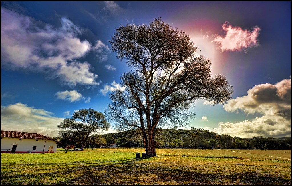
La Purisima Mission State Park
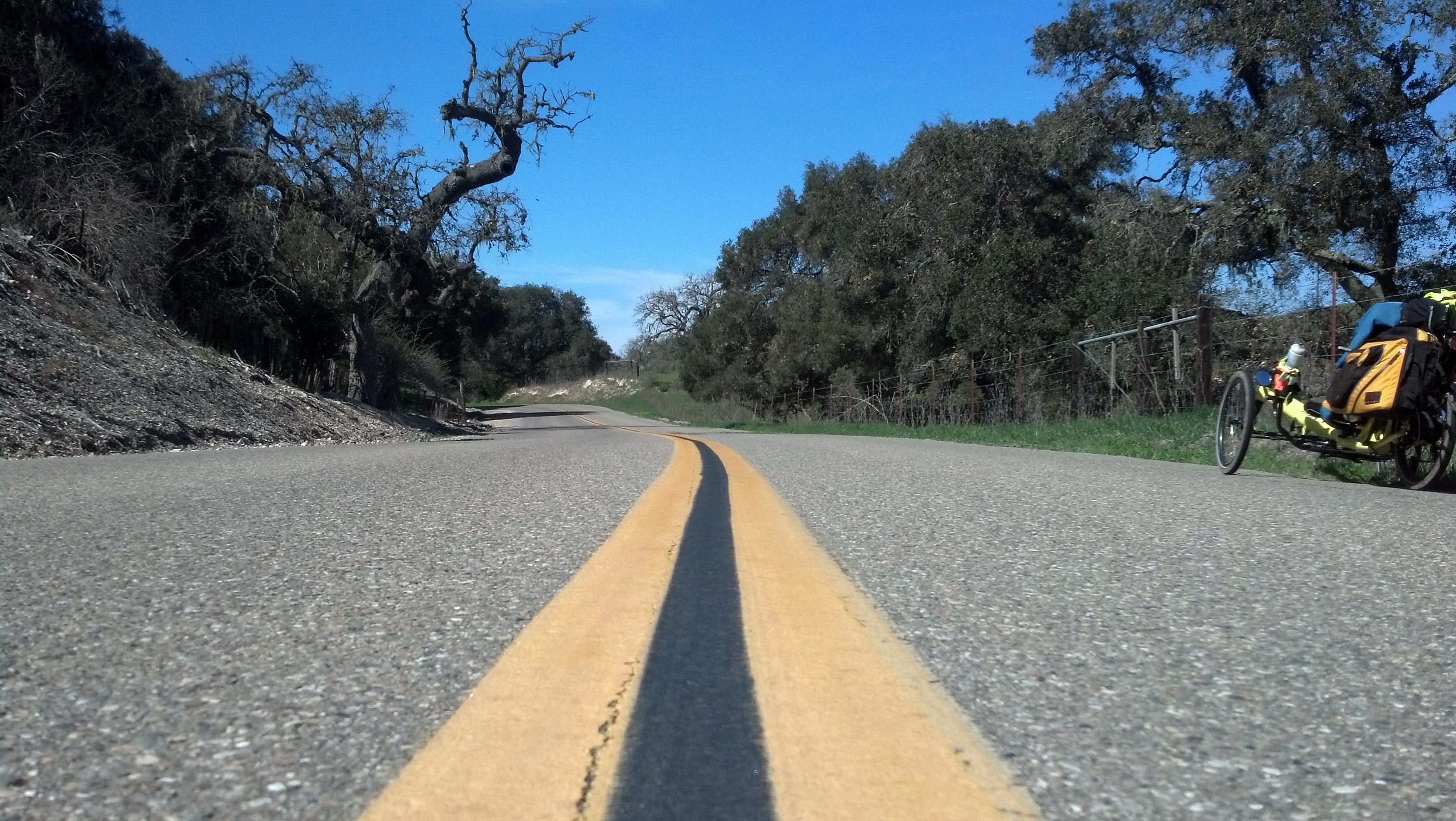
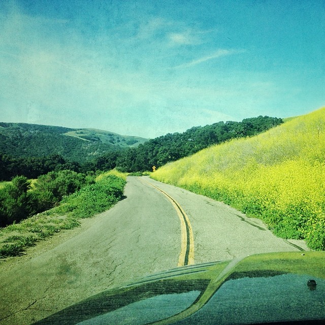
Hwy 1 winds through the southern hills of Lompoc, California.
Excuse Me While I Kiss The Sky
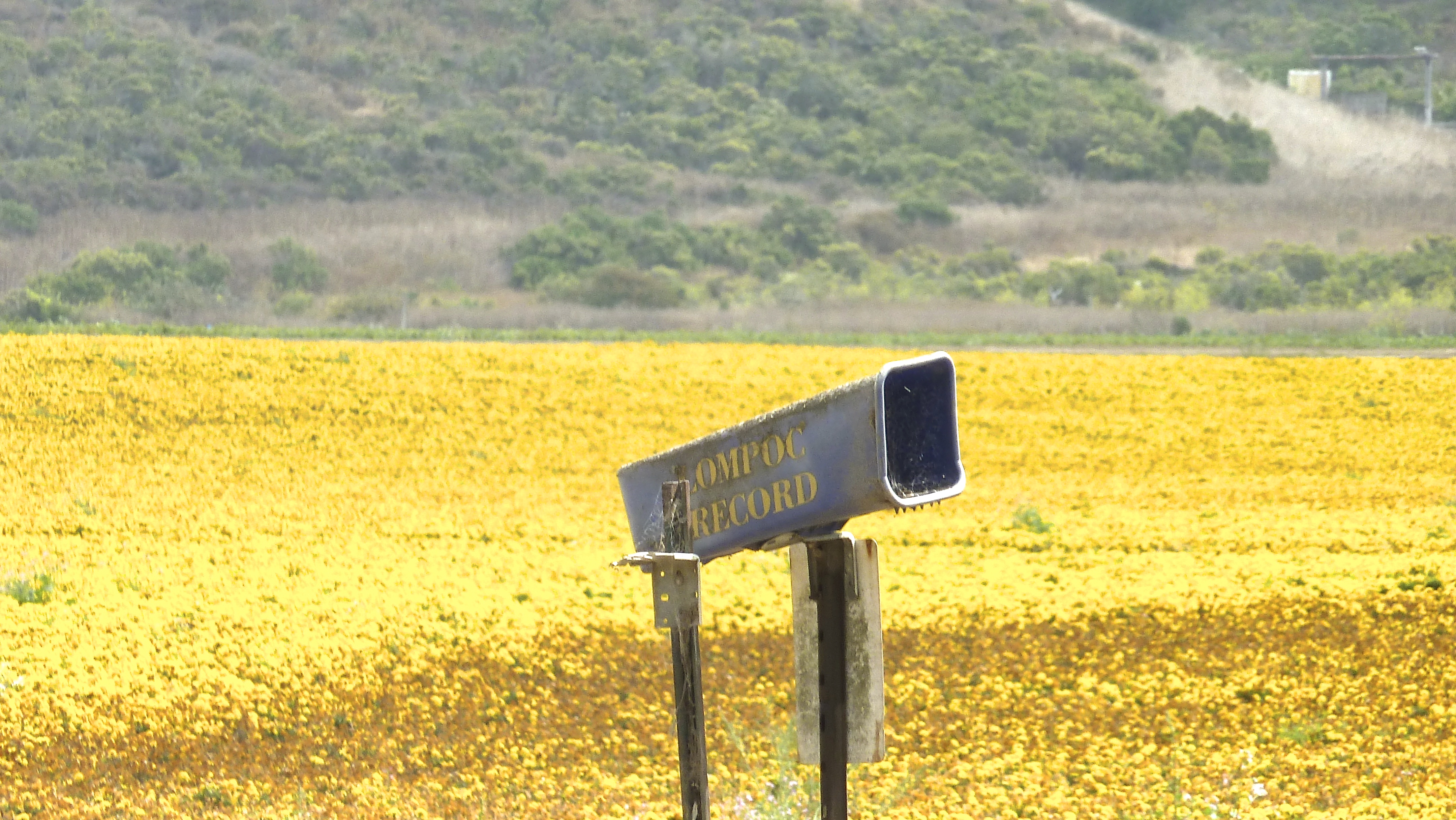
Color For Peggy
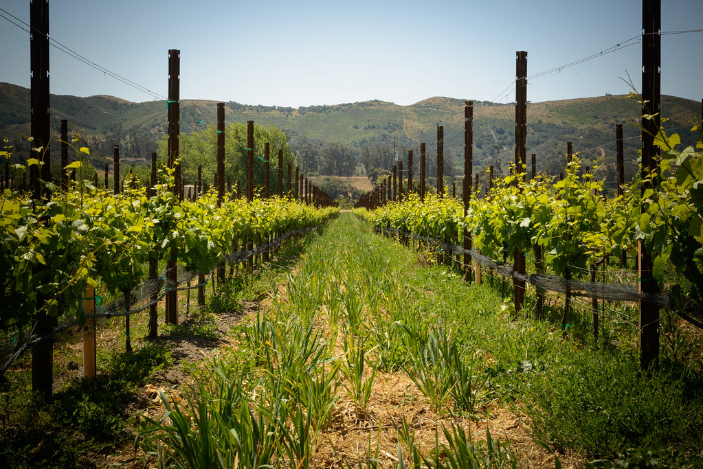
melville rows
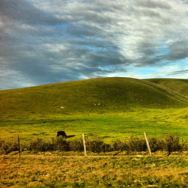
From #city #life to #country #living and #cows

Fish on.
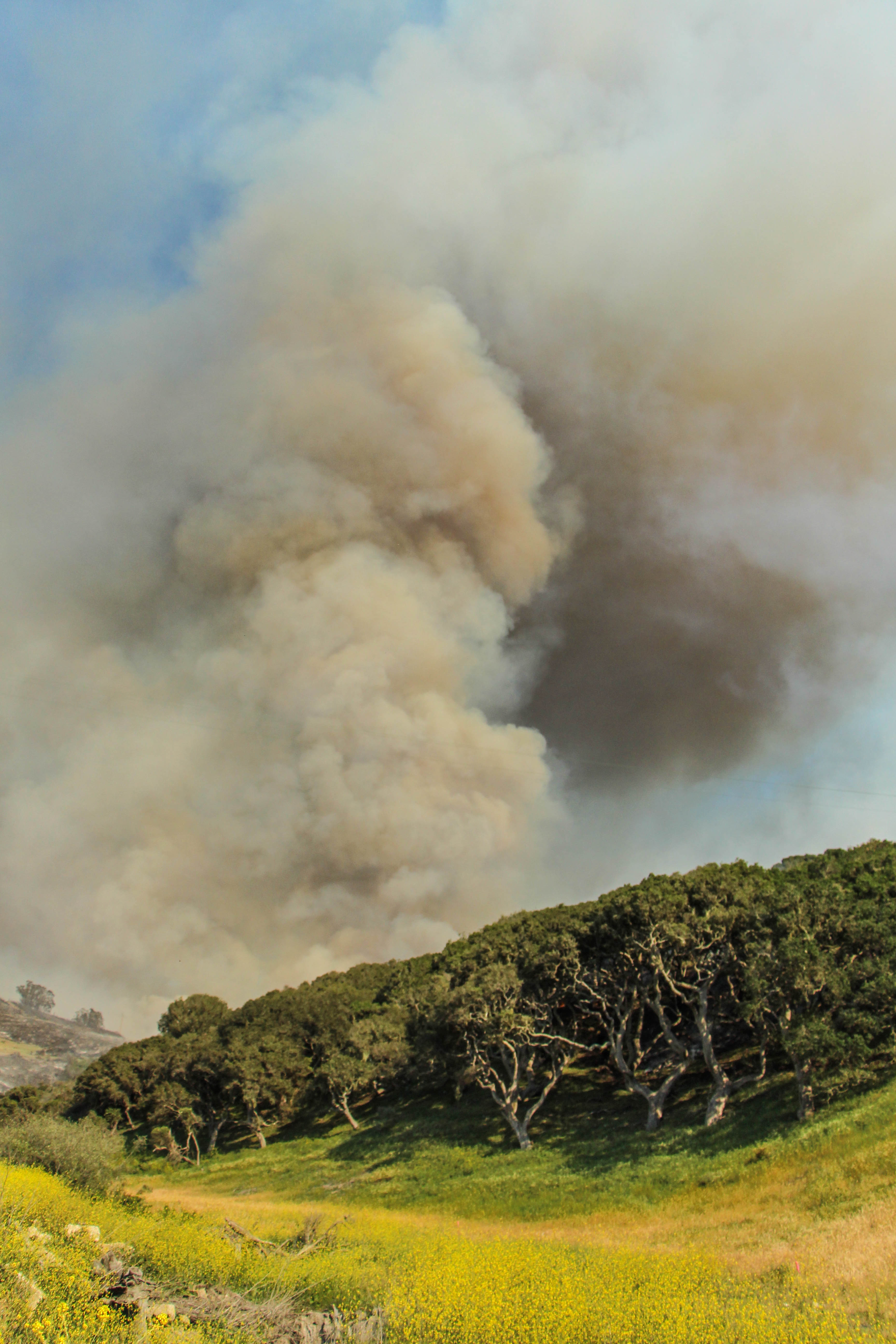
Miguelito Fire

Miguelito Fire

101 N, Santa Barbara county
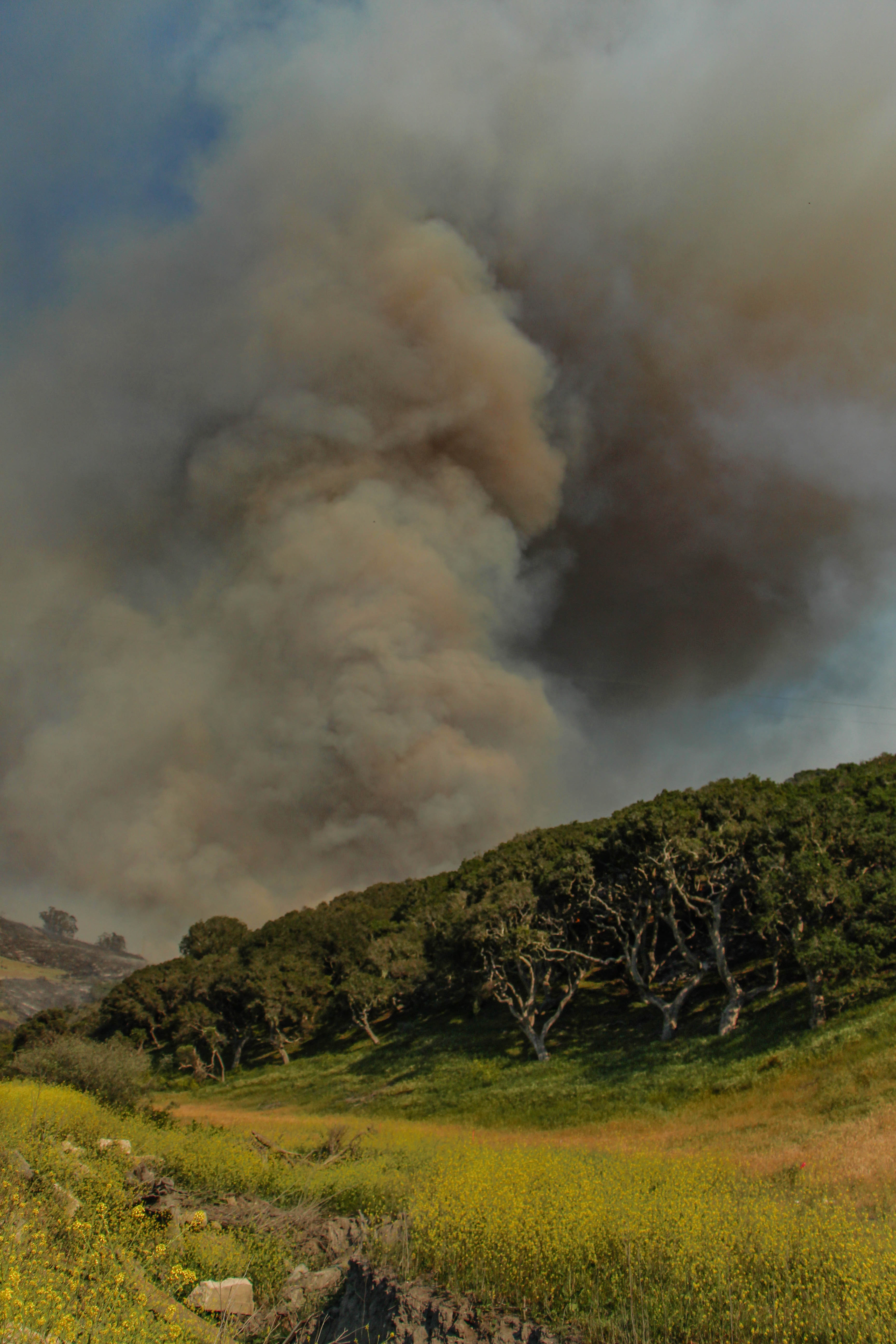
Miguelito Fire
enroute to Jalama...
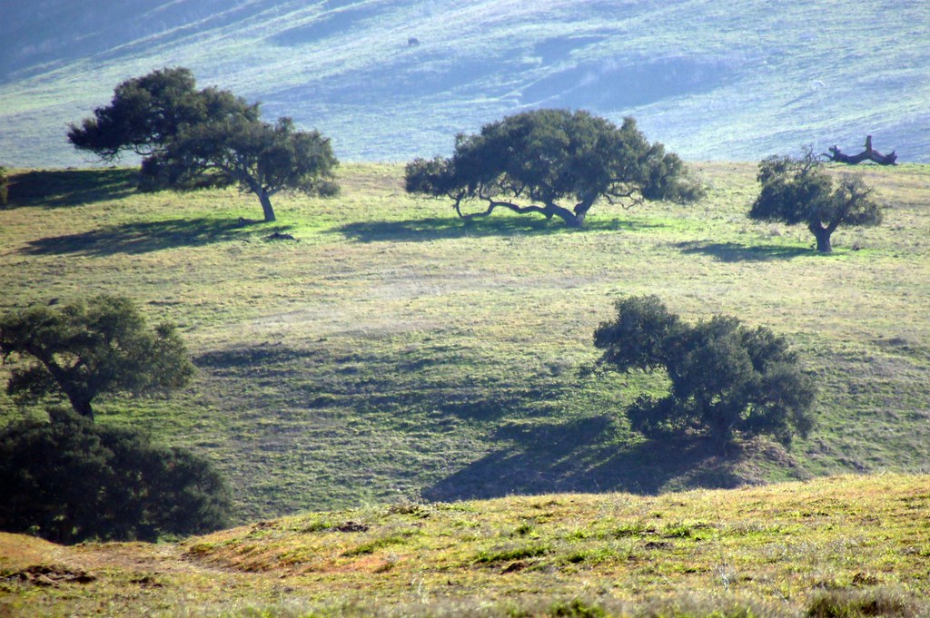
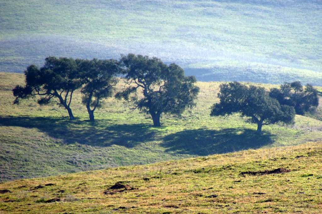
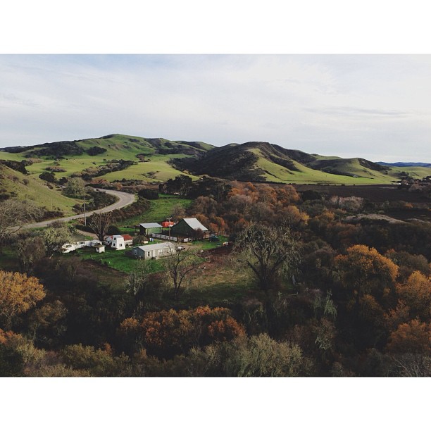
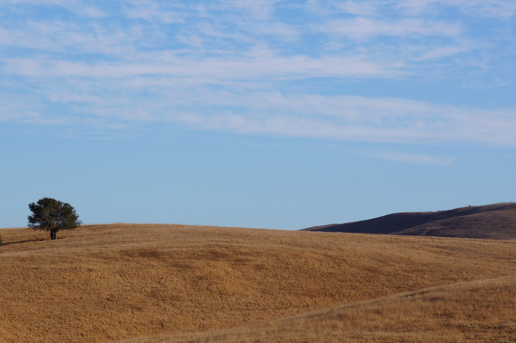
California Coastal Rangeland
101 FTW

On the Road to SLO
P1000912 2
Miguelito Fire
Pinot Noir... It's coming...
Topographic Map of Flora, Lompoc, CA, USA
Find elevation by address:

Places near Flora, Lompoc, CA, USA:
Chandler Dr, Lompoc, CA, USA
East Cherry Avenue
1105 N Poppy St
500 Cooper Dr
1117 N H St
900 N H St
Rigel Ave, Lompoc, CA, USA
300 Burton Mesa Blvd
697 Mercury Ave
Vandenberg Village
Lompoc
1344 Marigold Way
Bell St, Los Alamos, CA, USA
Los Alamos
W Ocean Ave, Lompoc, CA, USA
Vandenberg Air Force Base
890 Lasalle Canyon Rd
New Mexico Ave & 13th St
Vandenberg Air Force Base
Recent Searches:
- Elevation of 6 Rue Jules Ferry, Beausoleil, France
- Elevation of Sattva Horizon, 4JC6+G9P, Vinayak Nagar, Kattigenahalli, Bengaluru, Karnataka, India
- Elevation of Great Brook Sports, Gold Star Hwy, Groton, CT, USA
- Elevation of 10 Mountain Laurels Dr, Nashua, NH, USA
- Elevation of 16 Gilboa Ln, Nashua, NH, USA
- Elevation of Laurel Rd, Townsend, TN, USA
- Elevation of 3 Nestling Wood Dr, Long Valley, NJ, USA
- Elevation of Ilungu, Tanzania
- Elevation of Yellow Springs Road, Yellow Springs Rd, Chester Springs, PA, USA
- Elevation of Rēzekne Municipality, Latvia