Elevation of Ri-56 Hyōgomachi, Hakui-shi, Ishikawa-ken -, Japan
Location: Japan > Ishikawa Prefecture > Hakui >
Longitude: 136.781768
Latitude: 36.883378
Elevation: 7m / 23feet
Barometric Pressure: 101KPa
Elevation Map:
Satellite Map:
Related Photos:
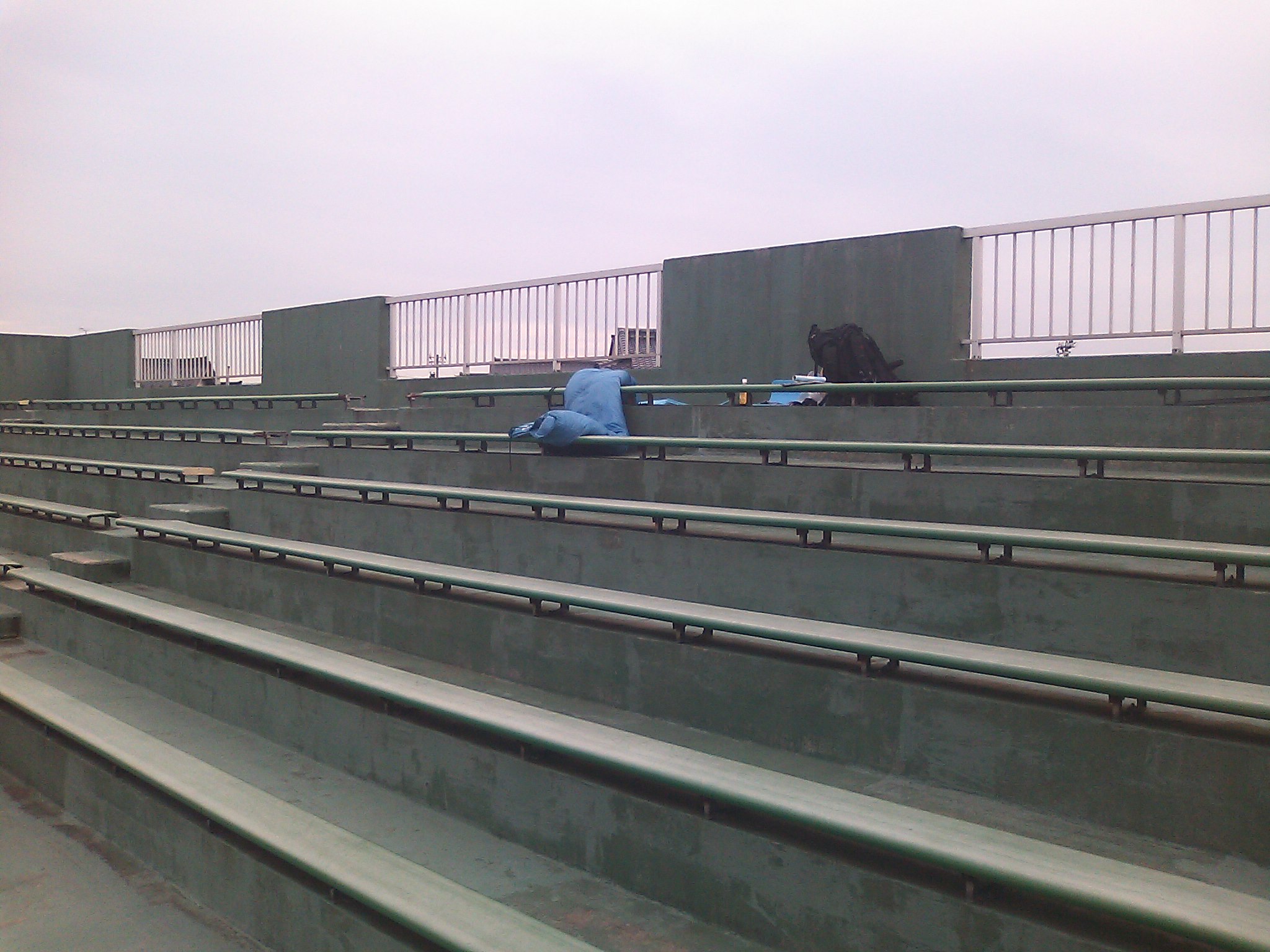
Baseball field, Hakui city
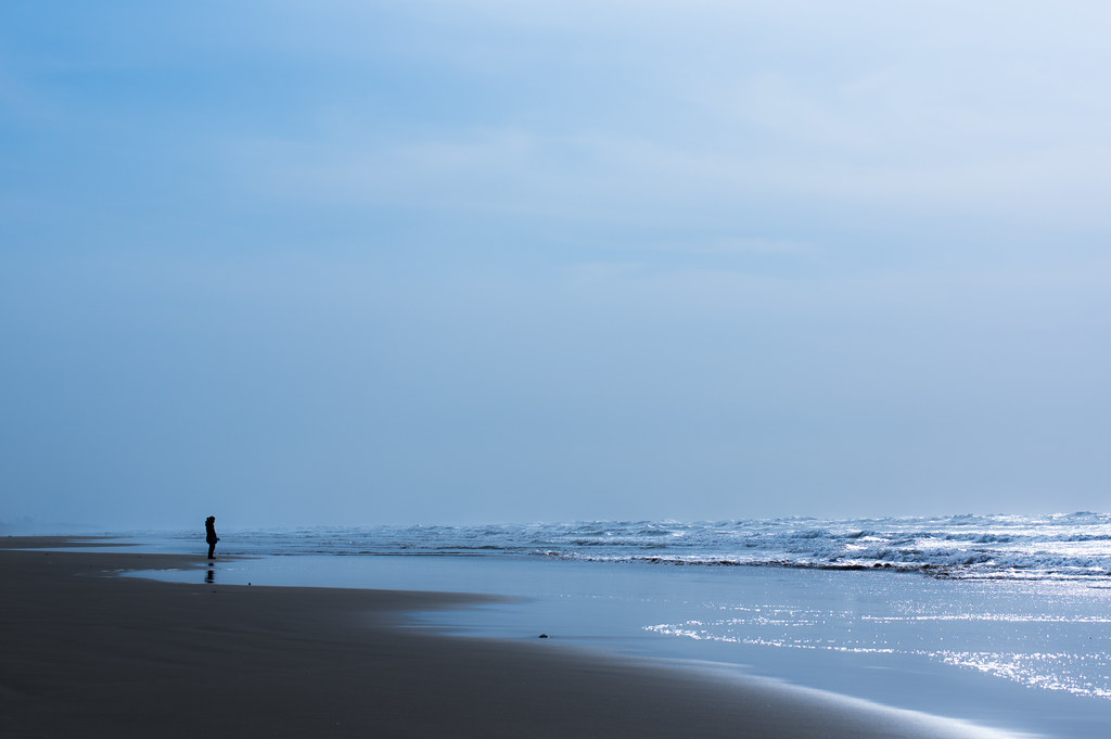
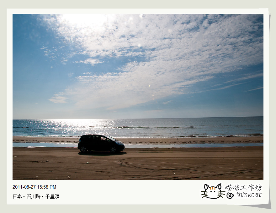
Planet of water
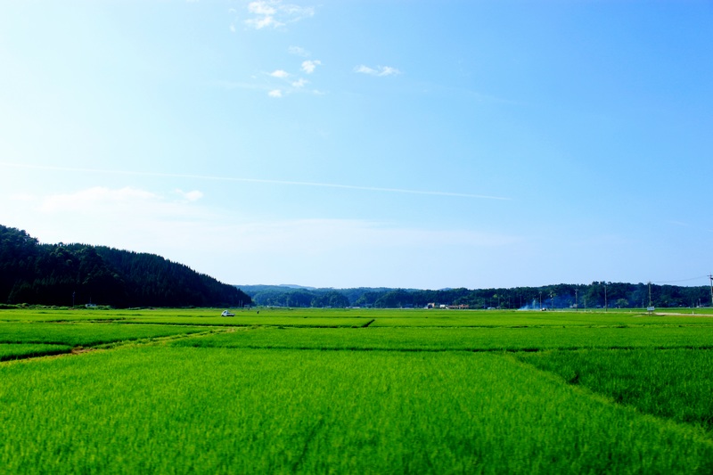
能登半島

白鳥、いた…
十年ぶり
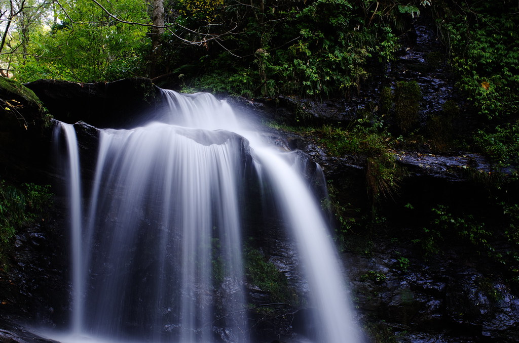
Kinokubo Otaki
DSC_6922.jpg
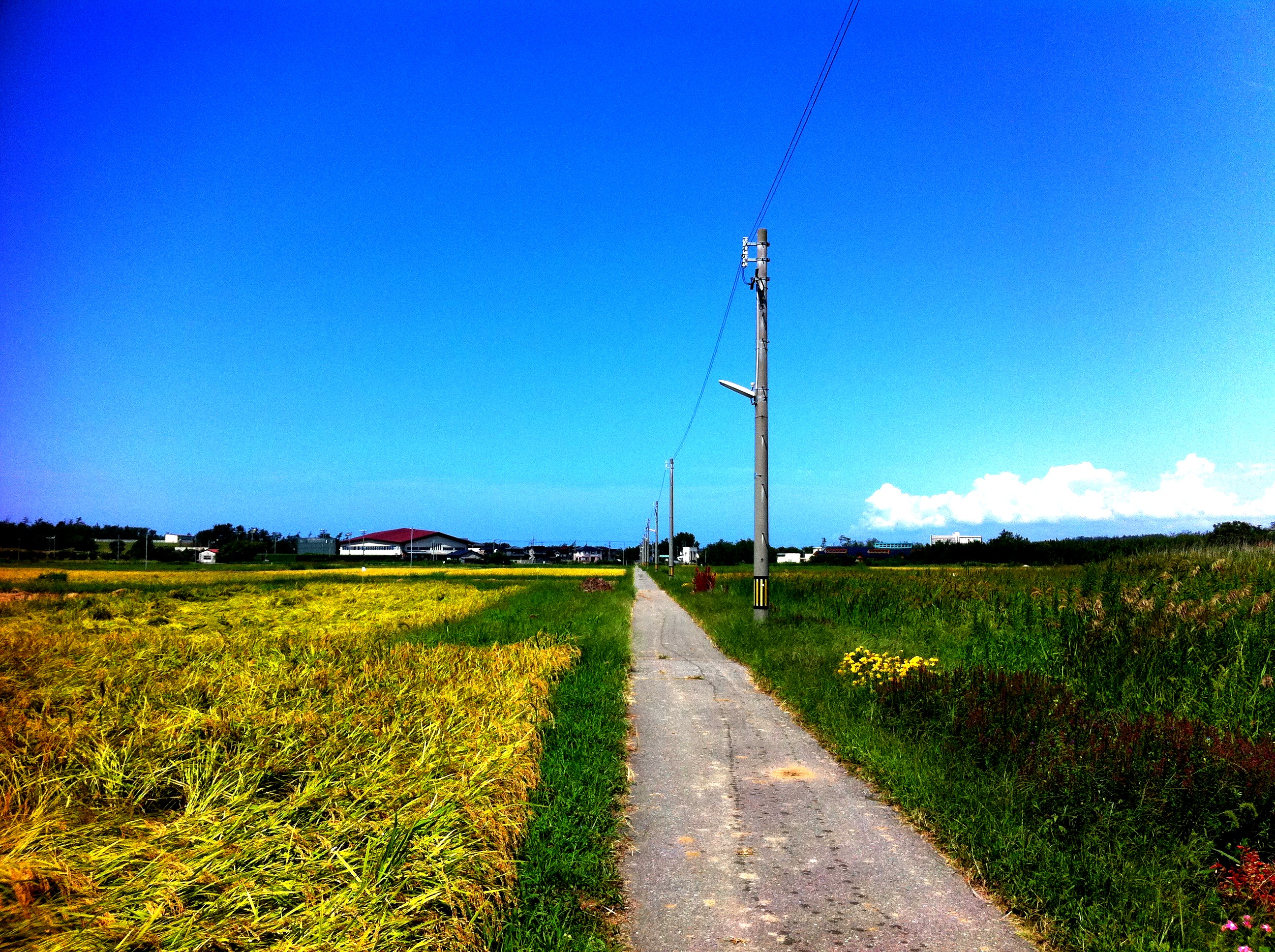
ひとりツール・ド・のと 2011
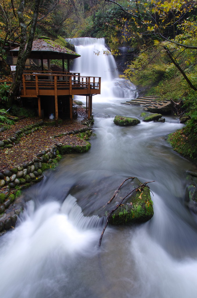
Kinokubo Ootaki
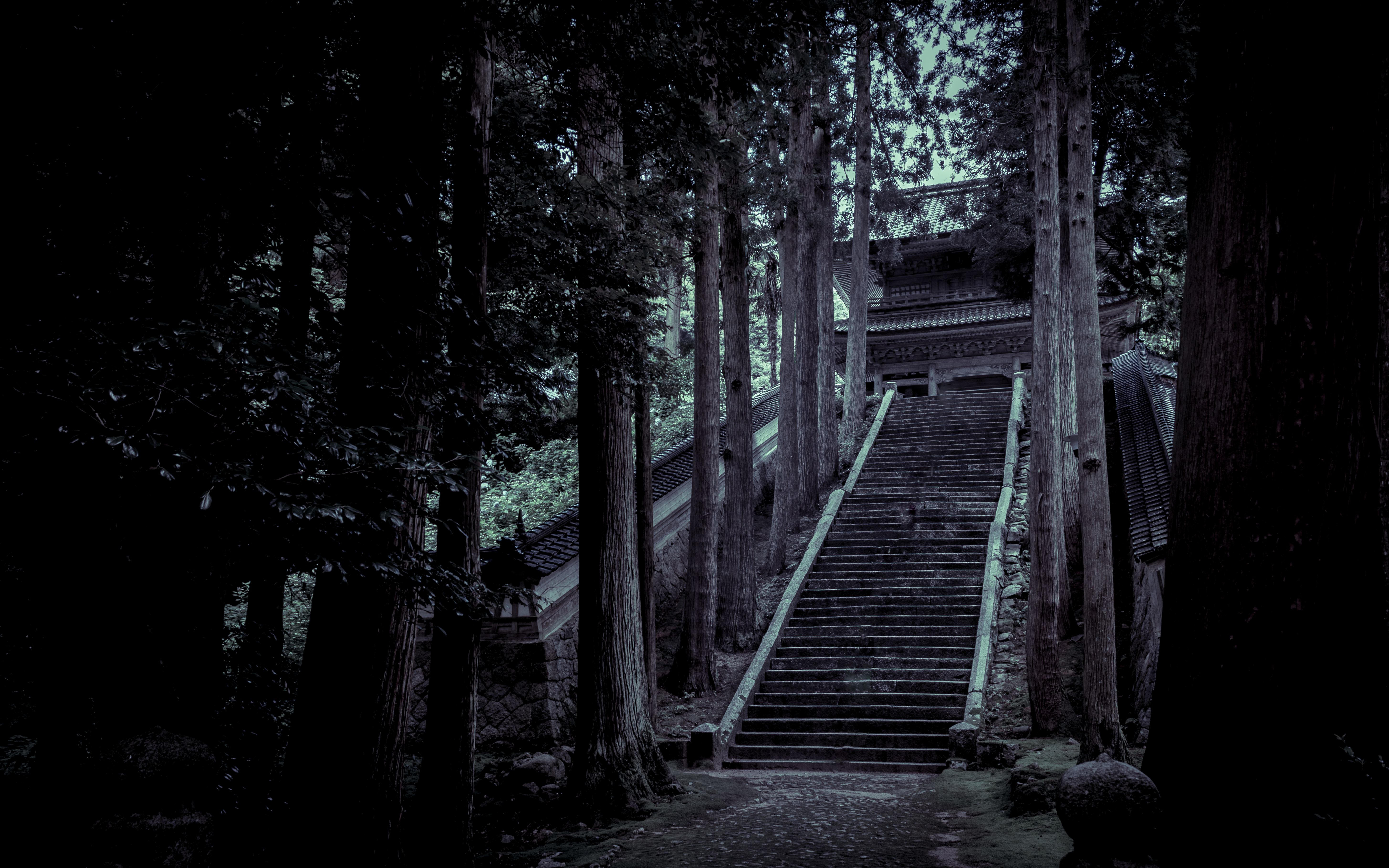
永光寺 山門
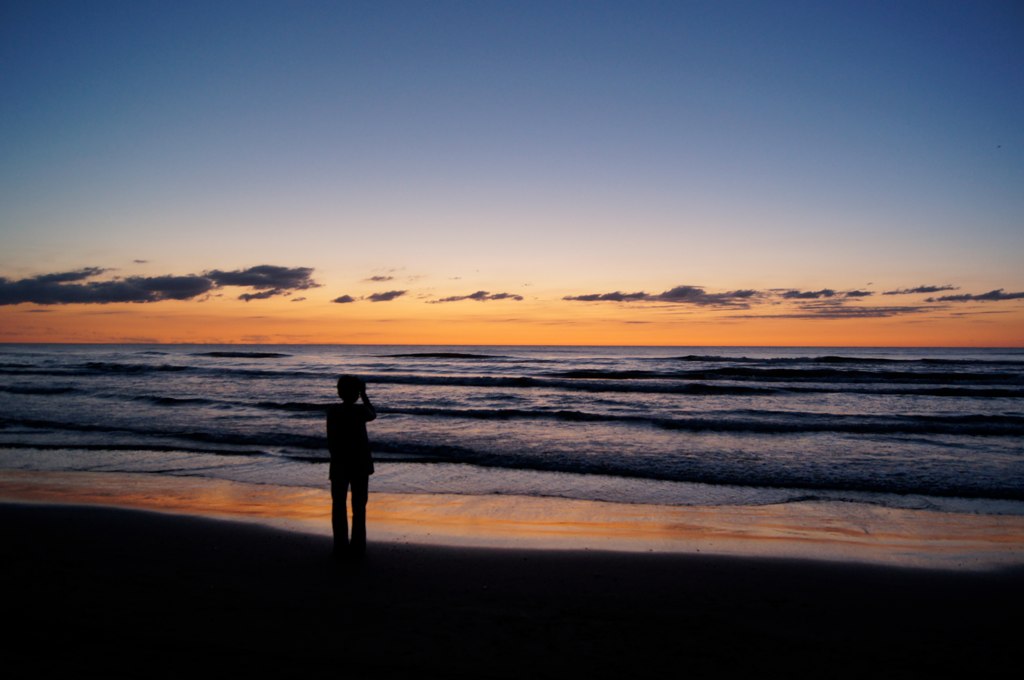
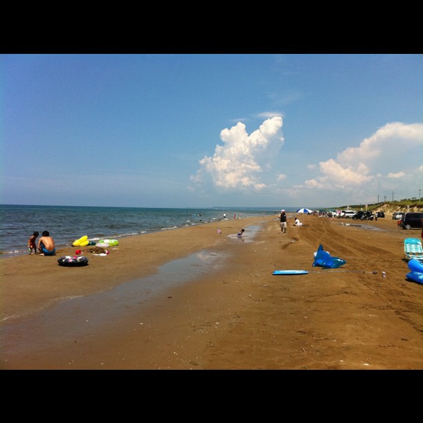
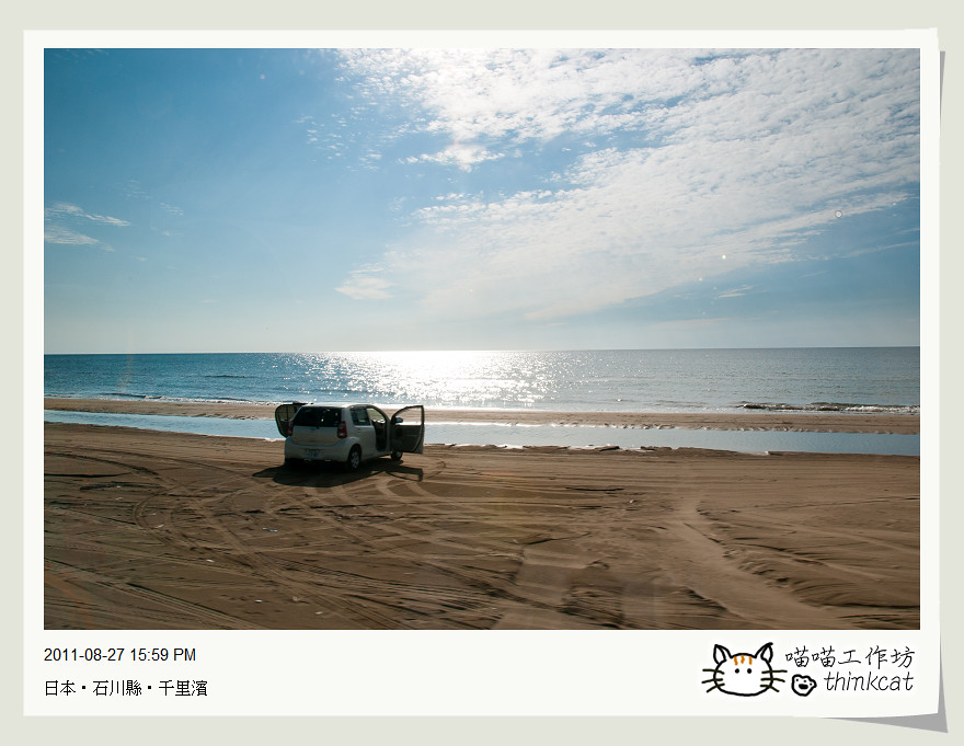
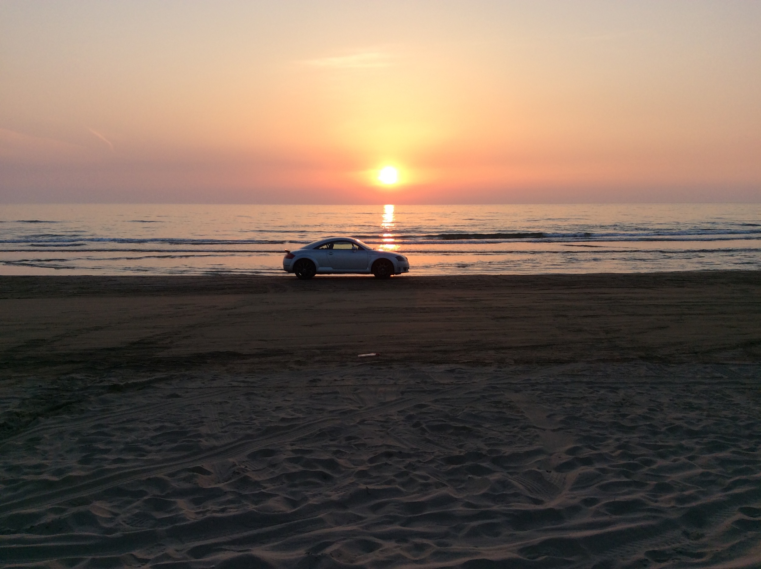
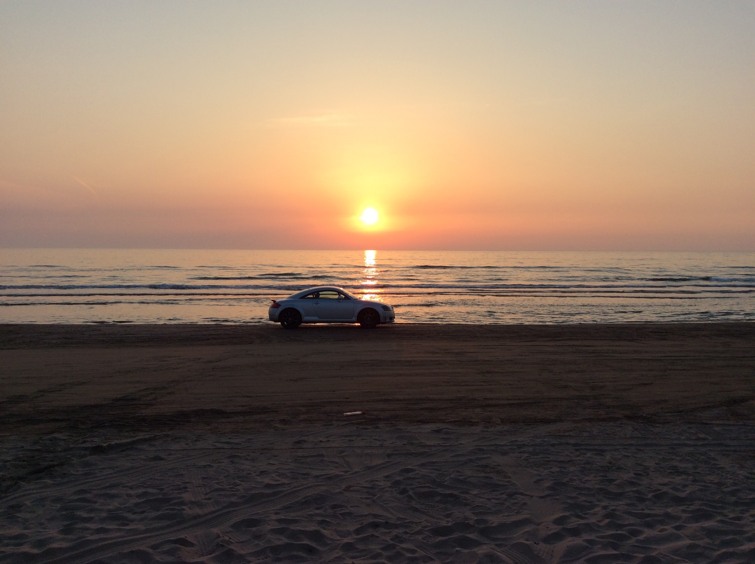
Sunset in the sand

白鳥が見たいという母。ネットでは2月末から北帰が始まってるとの事でもういないかと思ったけれど、数羽だけ残っていました。その数羽もこの後、鳴き交わして飛び立っていきました、また来年〜( ´ ▽ ` )ノ
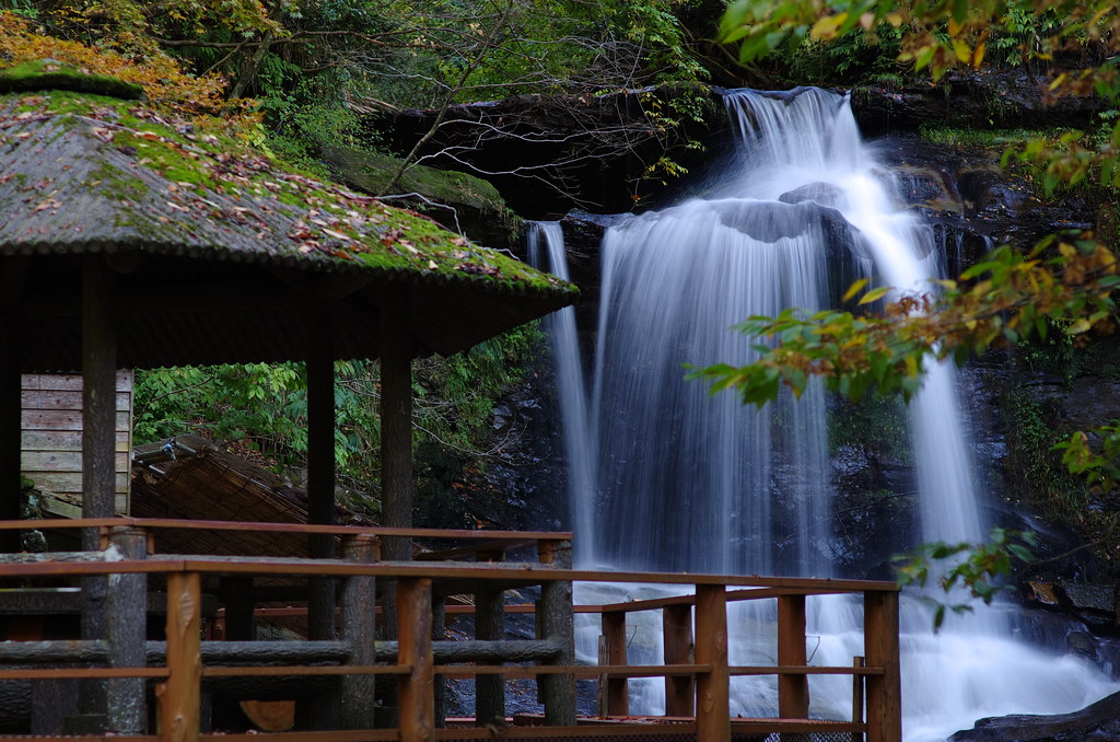
Kinokubo Otaki - 2

DSC_6906.jpg

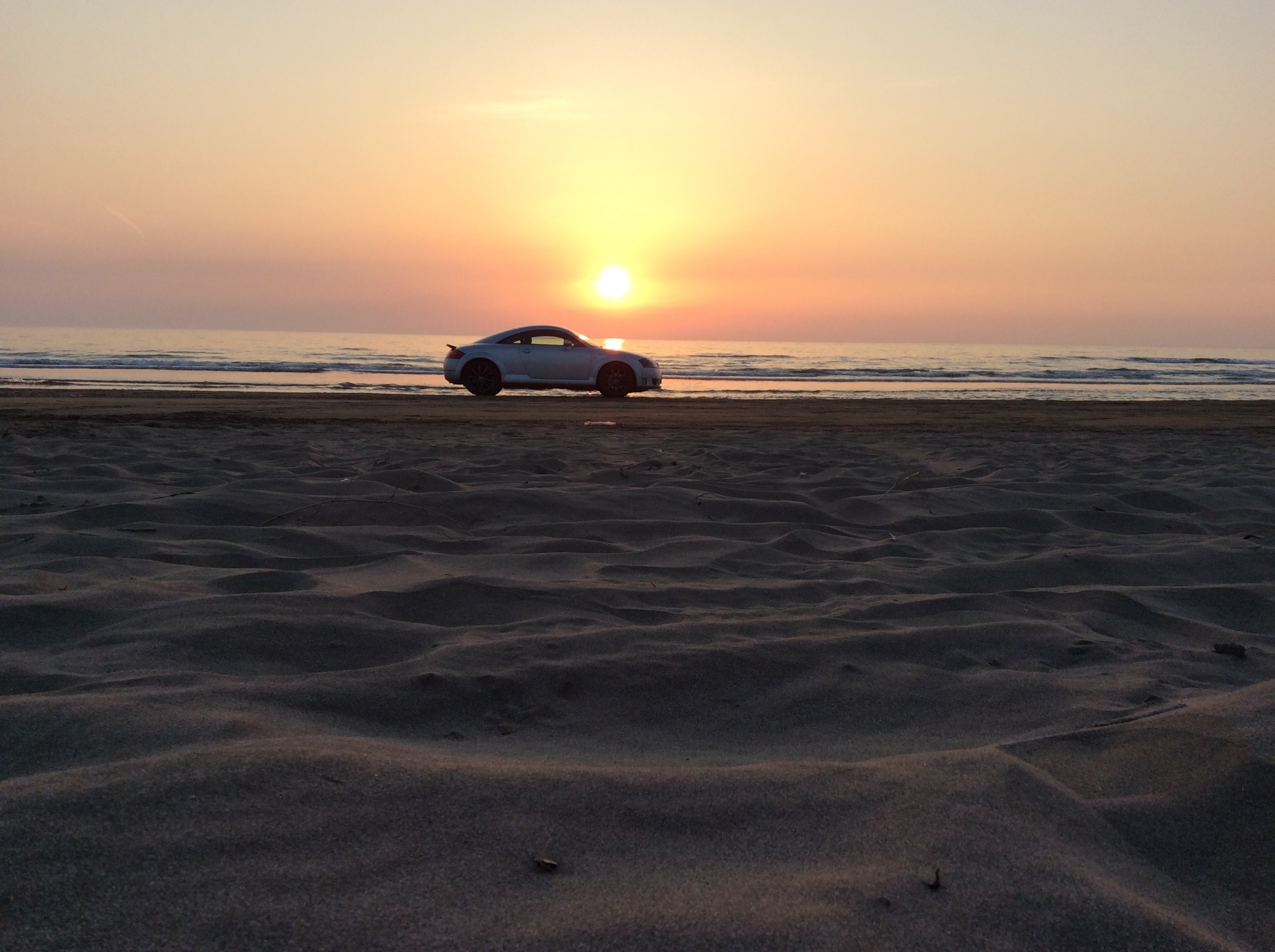
残念ながら今日の夕日は水平線上の雲間に消えてききました。海に落ちる夕日が見たかった〜(^^;; #イマソラ #imasora #空 #sky #夕日 #夕陽 #夕焼 #夕焼け #sunset
すべての写真-47
DSC_6919.jpg

閉鎖ちうにつき、徒歩で撮影ちう(笑)
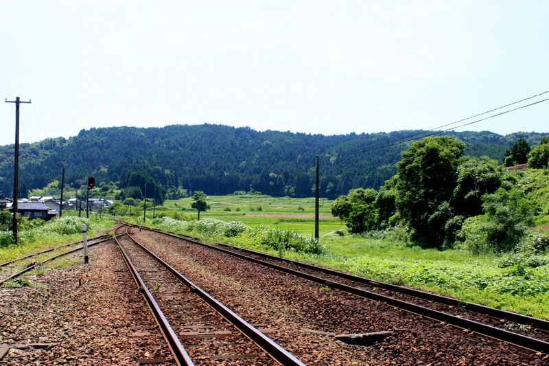
能登半島
すべての写真-48
すべての写真-45
avant le Typhon
Topographic Map of Ri-56 Hyōgomachi, Hakui-shi, Ishikawa-ken -, Japan
Find elevation by address:

Places near Ri-56 Hyōgomachi, Hakui-shi, Ishikawa-ken -, Japan:
Hakui
A--3 Asahimachi, Hakui-shi, Ishikawa-ken -, Japan
Hakui District
Hodatsushimizu
Ri-15 Hijirikawa, Hōdatsushimizu-chō, Hakui-gun, Ishikawa-ken -, Japan
E-6 Mukose, Hōdatsushimizu-chō, Hakui-gun, Ishikawa-ken -, Japan
ま2
Shika
Taniya, Himi-shi, Toyama-ken -, Japan
Re--7 Yokoyama, Kahoku-shi, Ishikawa-ken -, Japan
5-3 Yoshikawa, Nakanoto-machi, Kashima-gun, Ishikawa-ken -, Japan
Kashima District
Nakanoto
Kahoku
47-2 Wakabadai, Shika-machi, Hakui-gun, Ishikawa-ken -, Japan
Kanō, Himi-shi, Toyama-ken -, Japan
Himi
U-17 Funabashi, Tsubata-machi, Kahoku-gun, Ishikawa-ken -, Japan
3-30 Asahigaoka, Himi-shi, Toyama-ken -, Japan
Kahoku District
Recent Searches:
- Elevation of 72-31 Metropolitan Ave, Middle Village, NY, USA
- Elevation of 76 Metropolitan Ave, Brooklyn, NY, USA
- Elevation of Alisal Rd, Solvang, CA, USA
- Elevation of Vista Blvd, Sparks, NV, USA
- Elevation of 15th Ave SE, St. Petersburg, FL, USA
- Elevation of Beall Road, Beall Rd, Florida, USA
- Elevation of Leguwa, Nepal
- Elevation of County Rd, Enterprise, AL, USA
- Elevation of Kolchuginsky District, Vladimir Oblast, Russia
- Elevation of Shustino, Vladimir Oblast, Russia