Elevation of E-6 Mukose, Hōdatsushimizu-chō, Hakui-gun, Ishikawa-ken -, Japan
Location: Japan > Ishikawa Prefecture > Hakui District > Hodatsushimizu >
Longitude: 136.829610
Latitude: 36.8620963
Elevation: 28m / 92feet
Barometric Pressure: 101KPa
Elevation Map:
Satellite Map:
Related Photos:
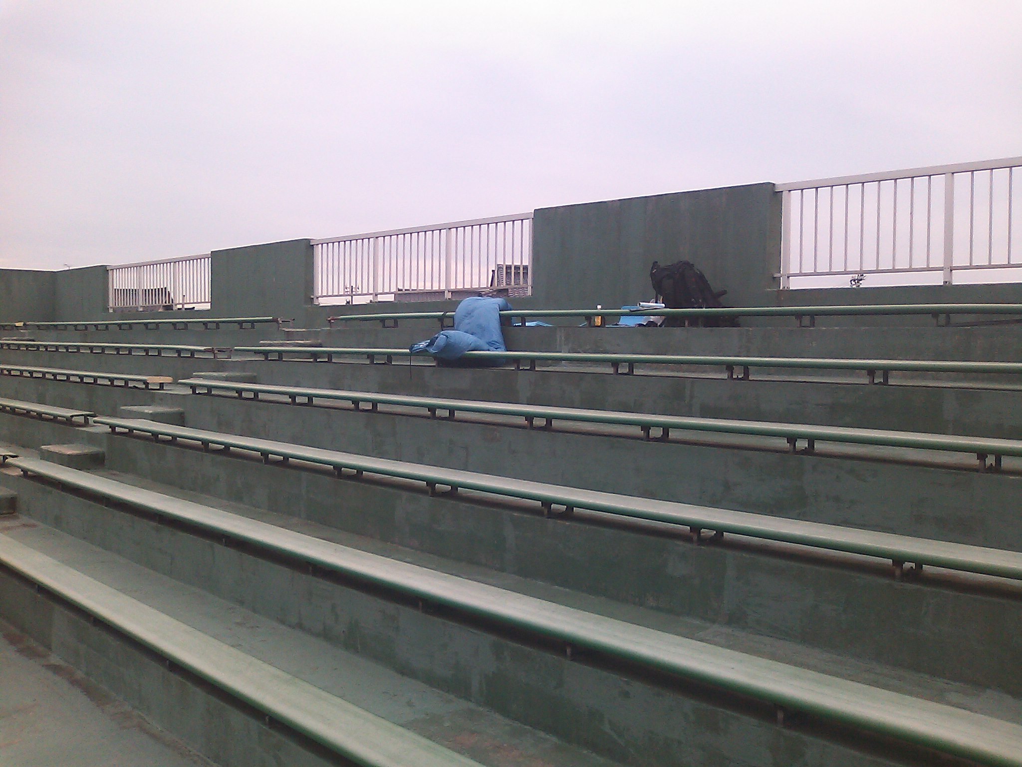
Baseball field, Hakui city

Tateyama-Renpou viewed from Himi mashie
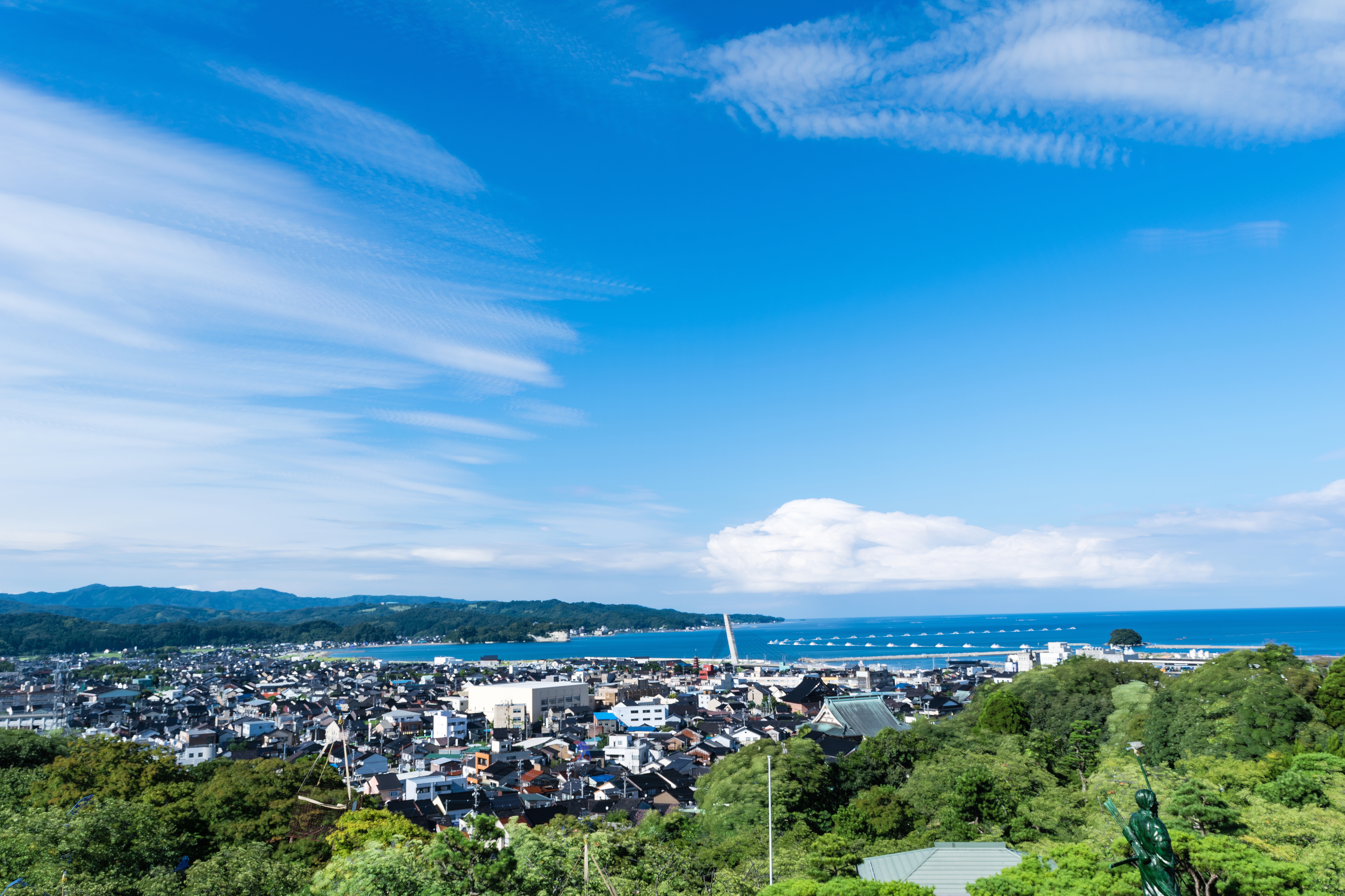
View from asahiyama park observatory
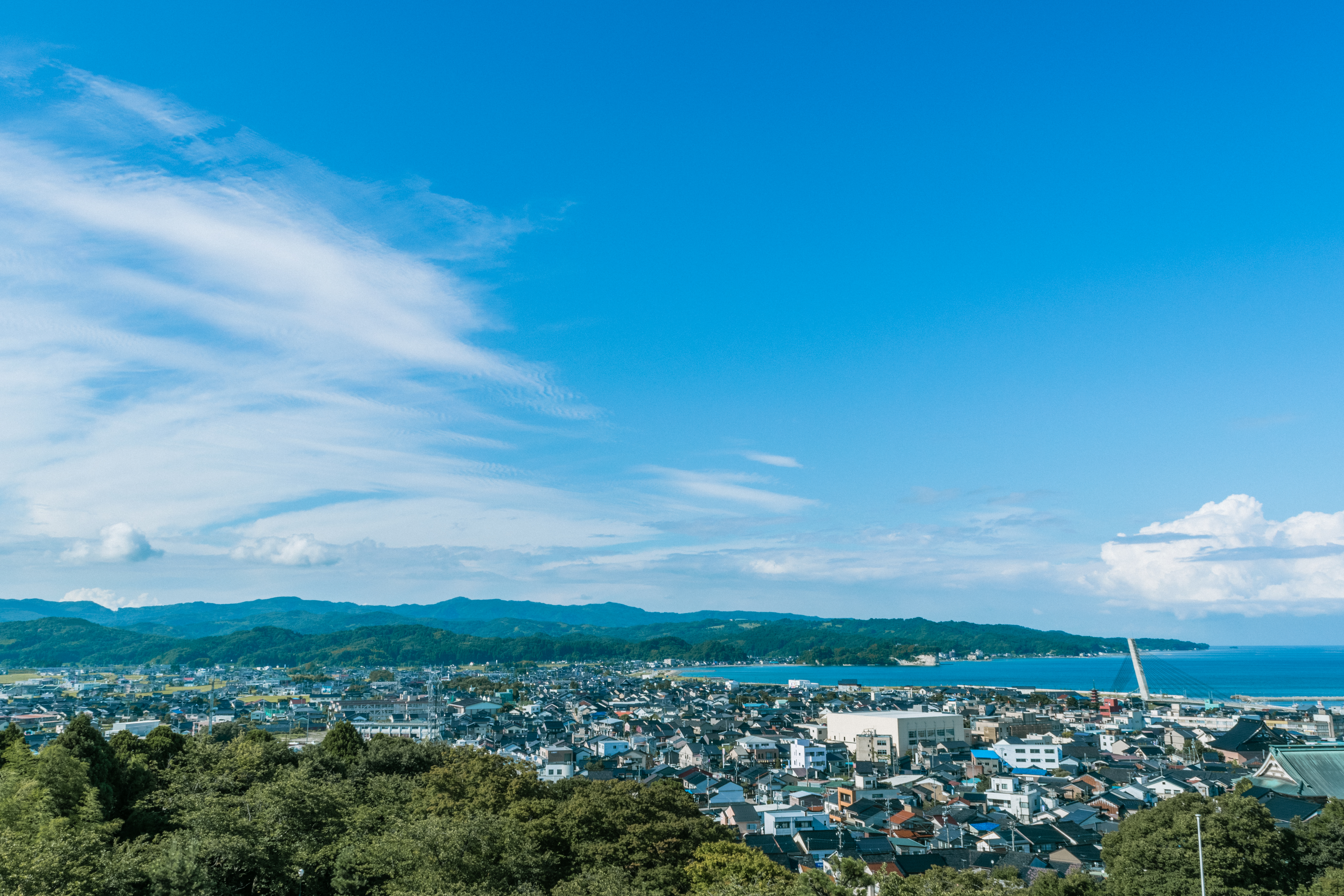
View from asahiyama park observatory

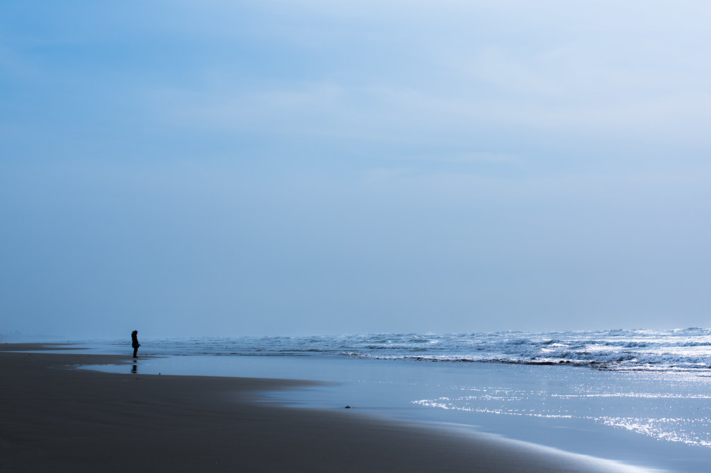
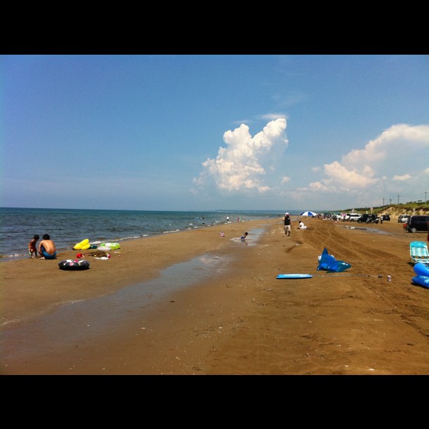
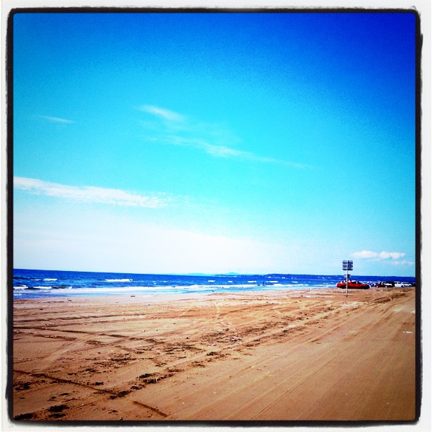
la plage

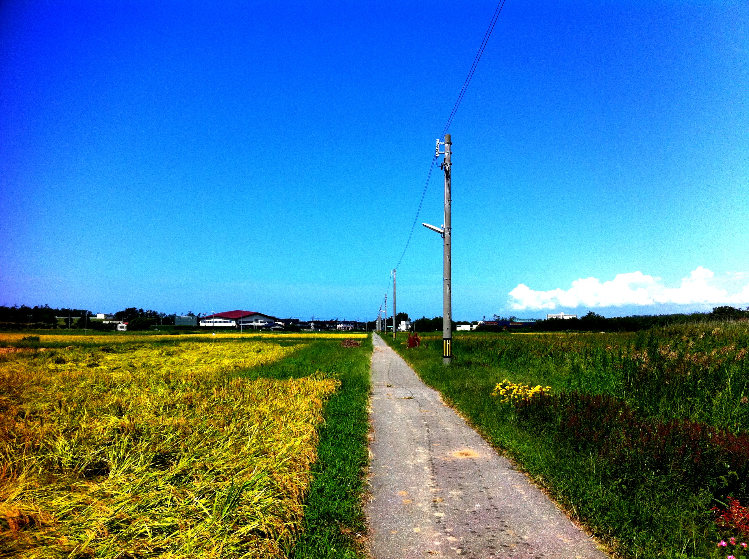
Cool Zone
Planet of water
能登半島

白鳥、いた…
十年ぶり
DSC_6922.jpg
ひとりツール・ド・のと 2011
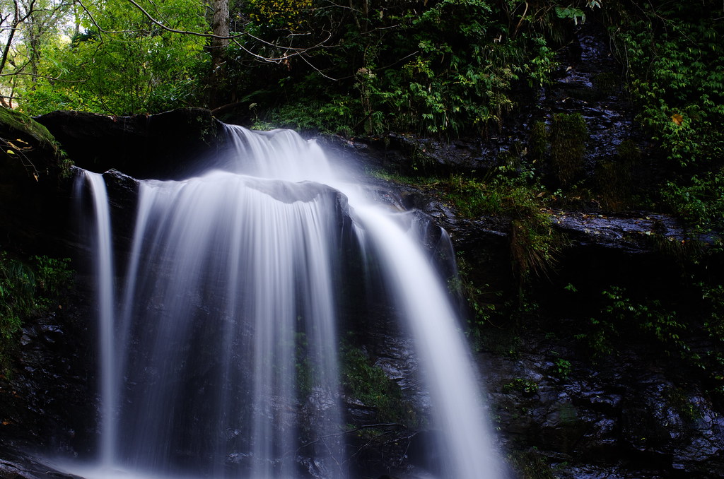
Kinokubo Otaki
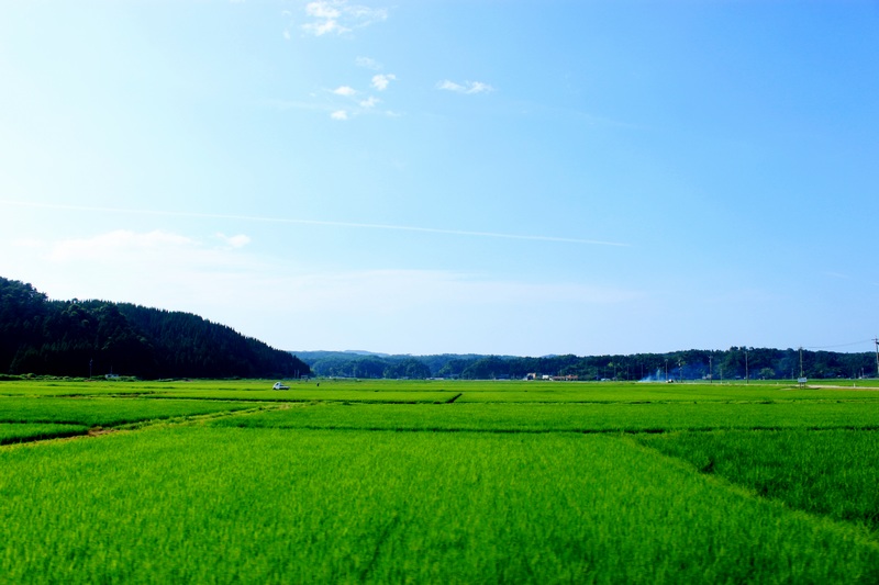
快晴~!
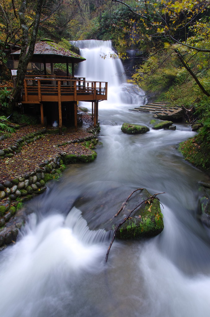
Kinokubo Ootaki
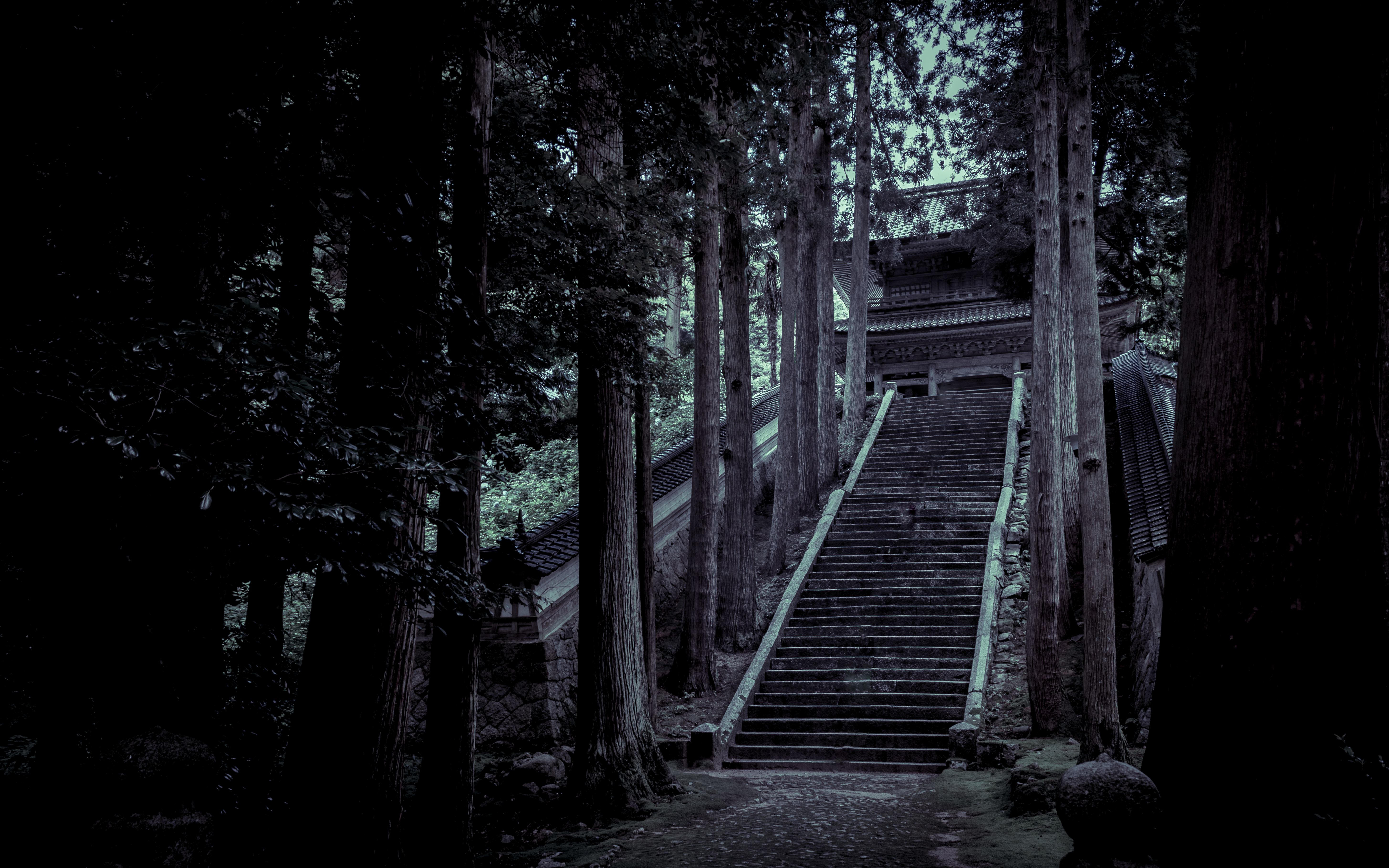
永光寺 山門

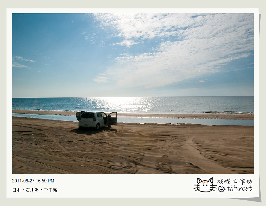
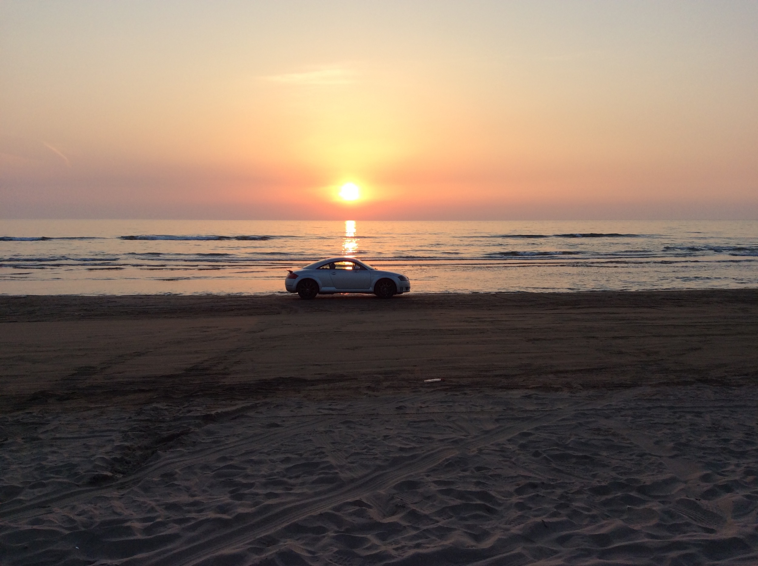
Sunset in the sand

白鳥が見たいという母。ネットでは2月末から北帰が始まってるとの事でもういないかと思ったけれど、数羽だけ残っていました。その数羽もこの後、鳴き交わして飛び立っていきました、また来年〜( ´ ▽ ` )ノ

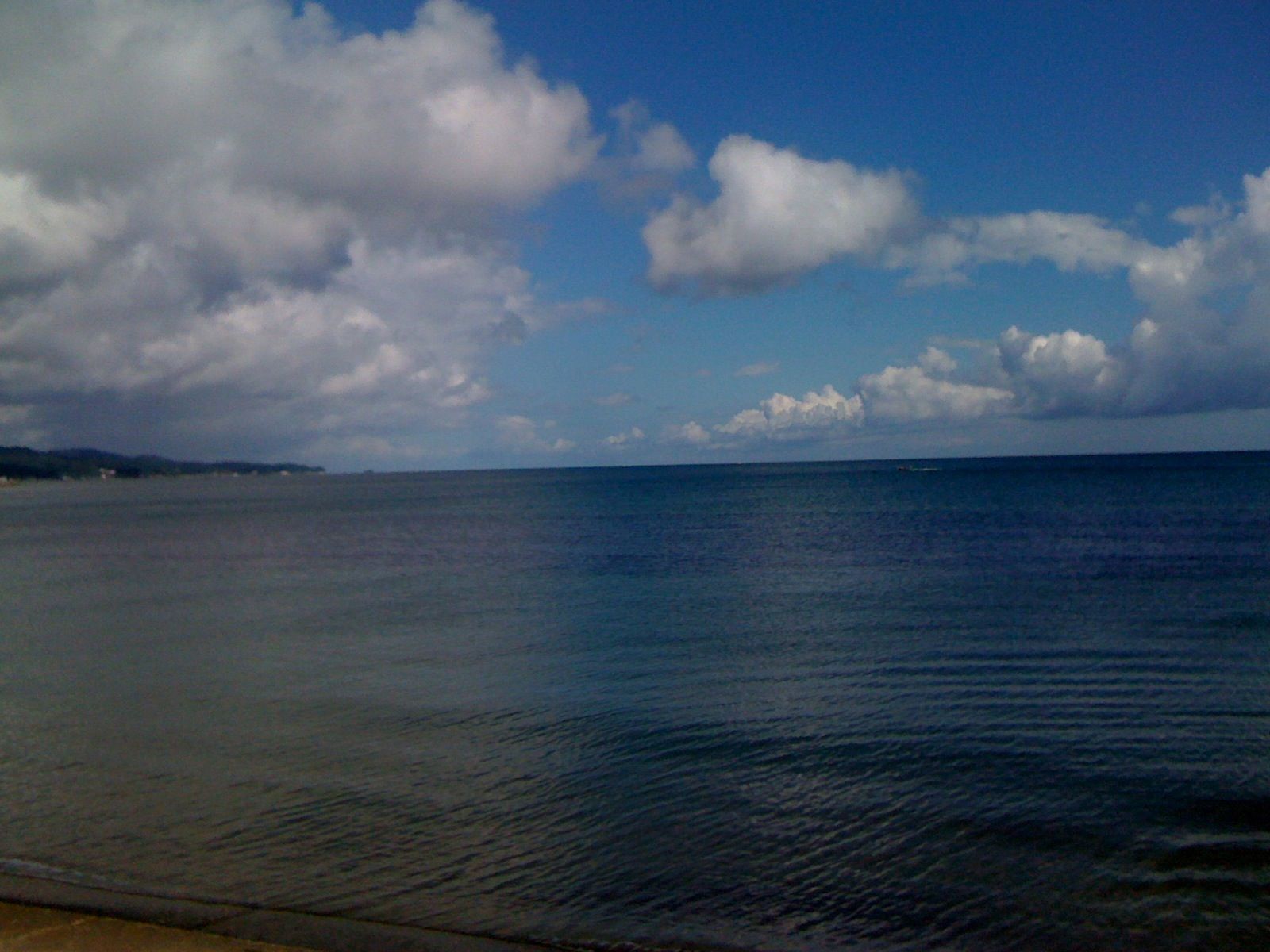
朝の富山湾
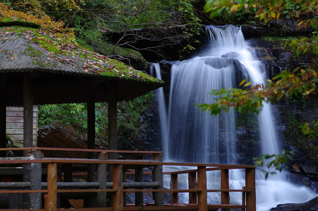
Kinokubo Otaki - 2

DSC_6906.jpg

残念ながら今日の夕日は水平線上の雲間に消えてききました。海に落ちる夕日が見たかった〜(^^;; #イマソラ #imasora #空 #sky #夕日 #夕陽 #夕焼 #夕焼け #sunset
すべての写真-49
氷見港

すべての写真-1970
Topographic Map of E-6 Mukose, Hōdatsushimizu-chō, Hakui-gun, Ishikawa-ken -, Japan
Find elevation by address:

Places near E-6 Mukose, Hōdatsushimizu-chō, Hakui-gun, Ishikawa-ken -, Japan:
Hakui District
Ri-15 Hijirikawa, Hōdatsushimizu-chō, Hakui-gun, Ishikawa-ken -, Japan
Hodatsushimizu
Ri-56 Hyōgomachi, Hakui-shi, Ishikawa-ken -, Japan
Hakui
A--3 Asahimachi, Hakui-shi, Ishikawa-ken -, Japan
Taniya, Himi-shi, Toyama-ken -, Japan
ま2
5-3 Yoshikawa, Nakanoto-machi, Kashima-gun, Ishikawa-ken -, Japan
Kashima District
Kanō, Himi-shi, Toyama-ken -, Japan
Himi
Nakanoto
Shika
3-30 Asahigaoka, Himi-shi, Toyama-ken -, Japan
Re--7 Yokoyama, Kahoku-shi, Ishikawa-ken -, Japan
52 Fukuokamachi Ōtaki, Takaoka-shi, Toyama-ken -, Japan
Kahoku
2-26 Honmachi, Oyabe-shi, Toyama-ken -, Japan
Oyabe
Recent Searches:
- Elevation of Congressional Dr, Stevensville, MD, USA
- Elevation of Bellview Rd, McLean, VA, USA
- Elevation of Stage Island Rd, Chatham, MA, USA
- Elevation of Shibuya Scramble Crossing, 21 Udagawacho, Shibuya City, Tokyo -, Japan
- Elevation of Jadagoniai, Kaunas District Municipality, Lithuania
- Elevation of Pagonija rock, Kranto 7-oji g. 8"N, Kaunas, Lithuania
- Elevation of Co Rd 87, Jamestown, CO, USA
- Elevation of Tenjo, Cundinamarca, Colombia
- Elevation of Côte-des-Neiges, Montreal, QC H4A 3J6, Canada
- Elevation of Bobcat Dr, Helena, MT, USA