Elevation of Rexford, MT, USA
Location: United States > Montana >
Longitude: -115.17211
Latitude: 48.899408
Elevation: 776m / 2546feet
Barometric Pressure: 92KPa
Elevation Map:
Satellite Map:
Related Photos:
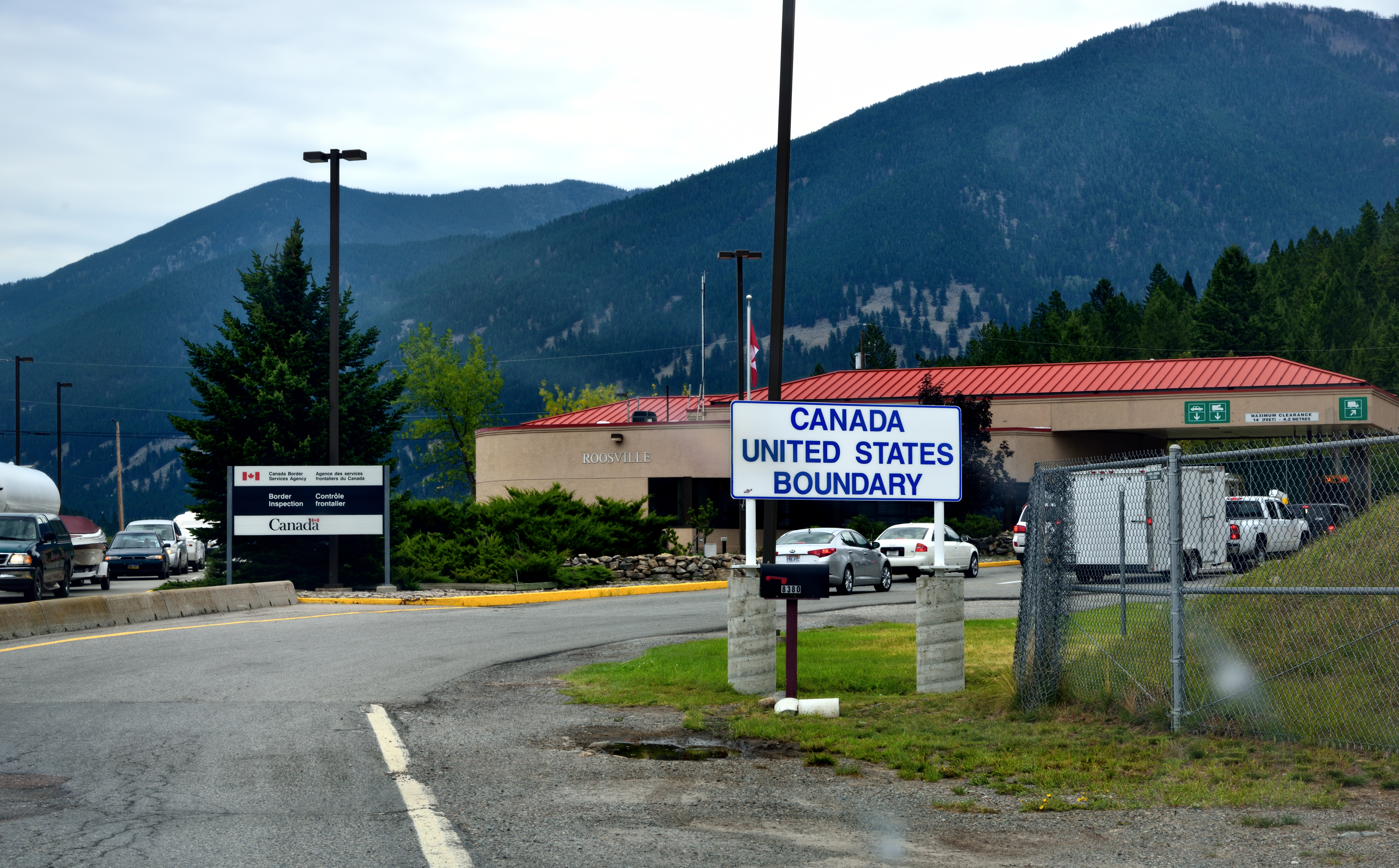
Crossing into Canada...
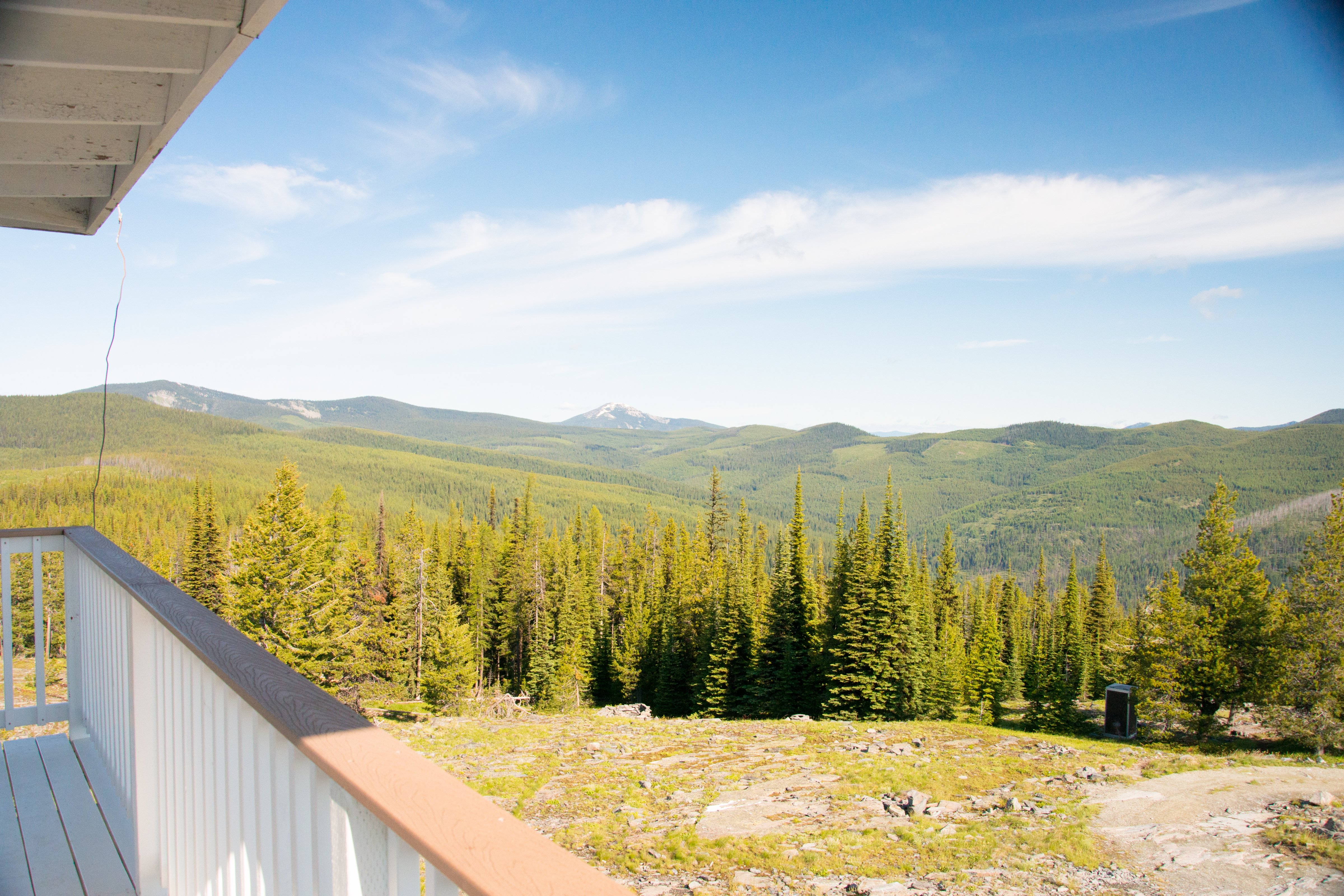
The view west towards Mt. Henry from the Webb Mountain Fire Lookout on the Kootenai National Forest (day)
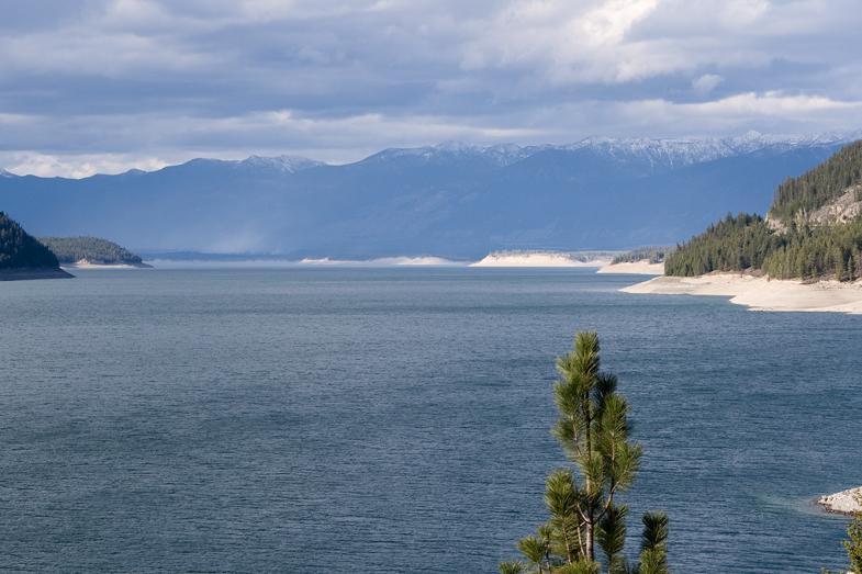
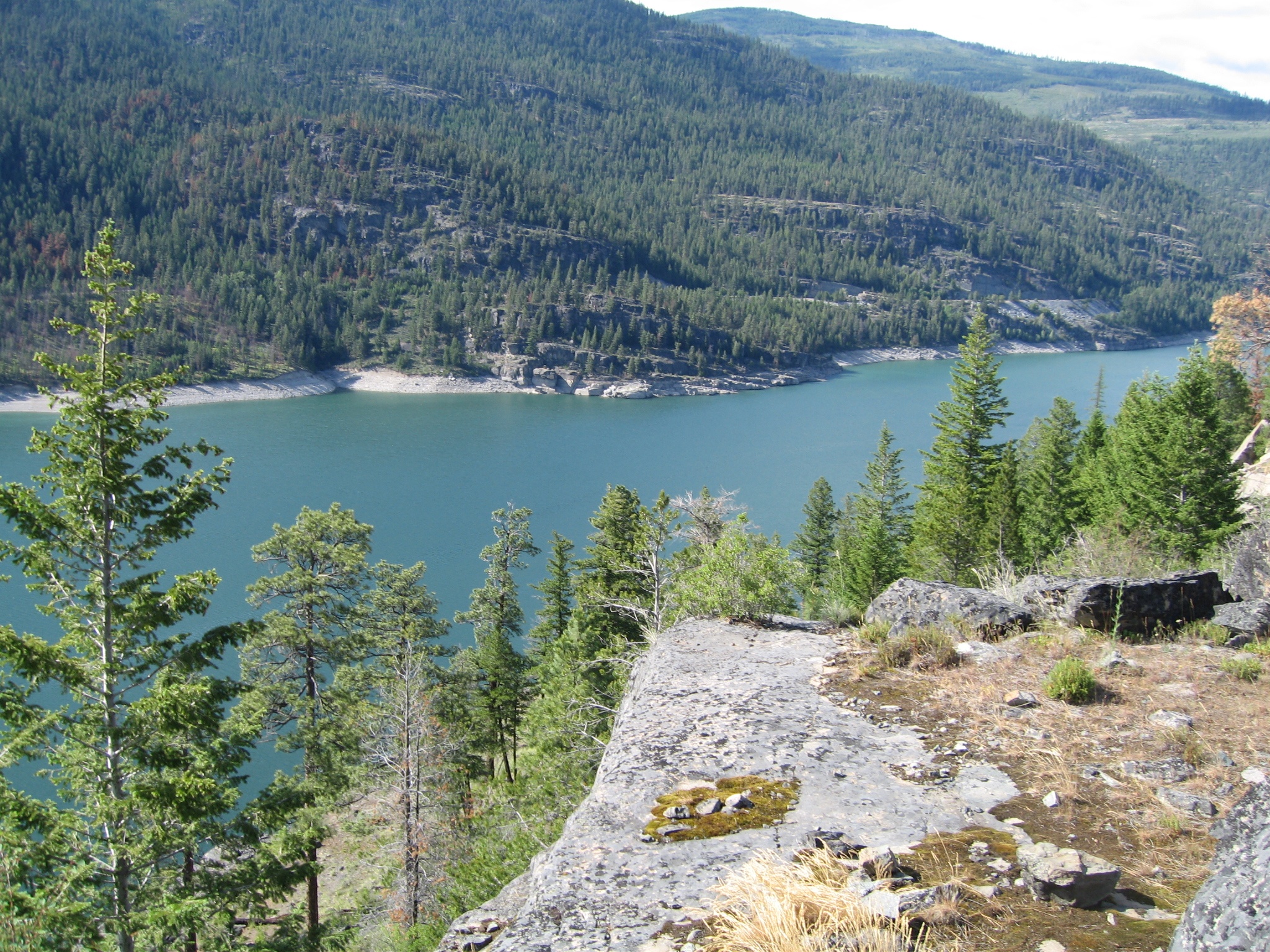
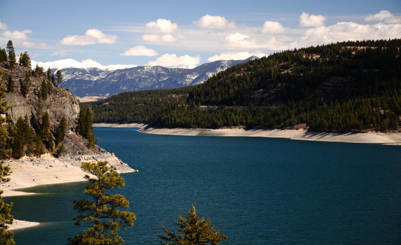
Koocanusa Lake view taken from the bridge
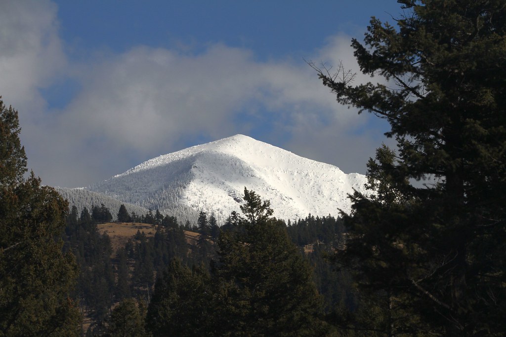
Mt Mahaney
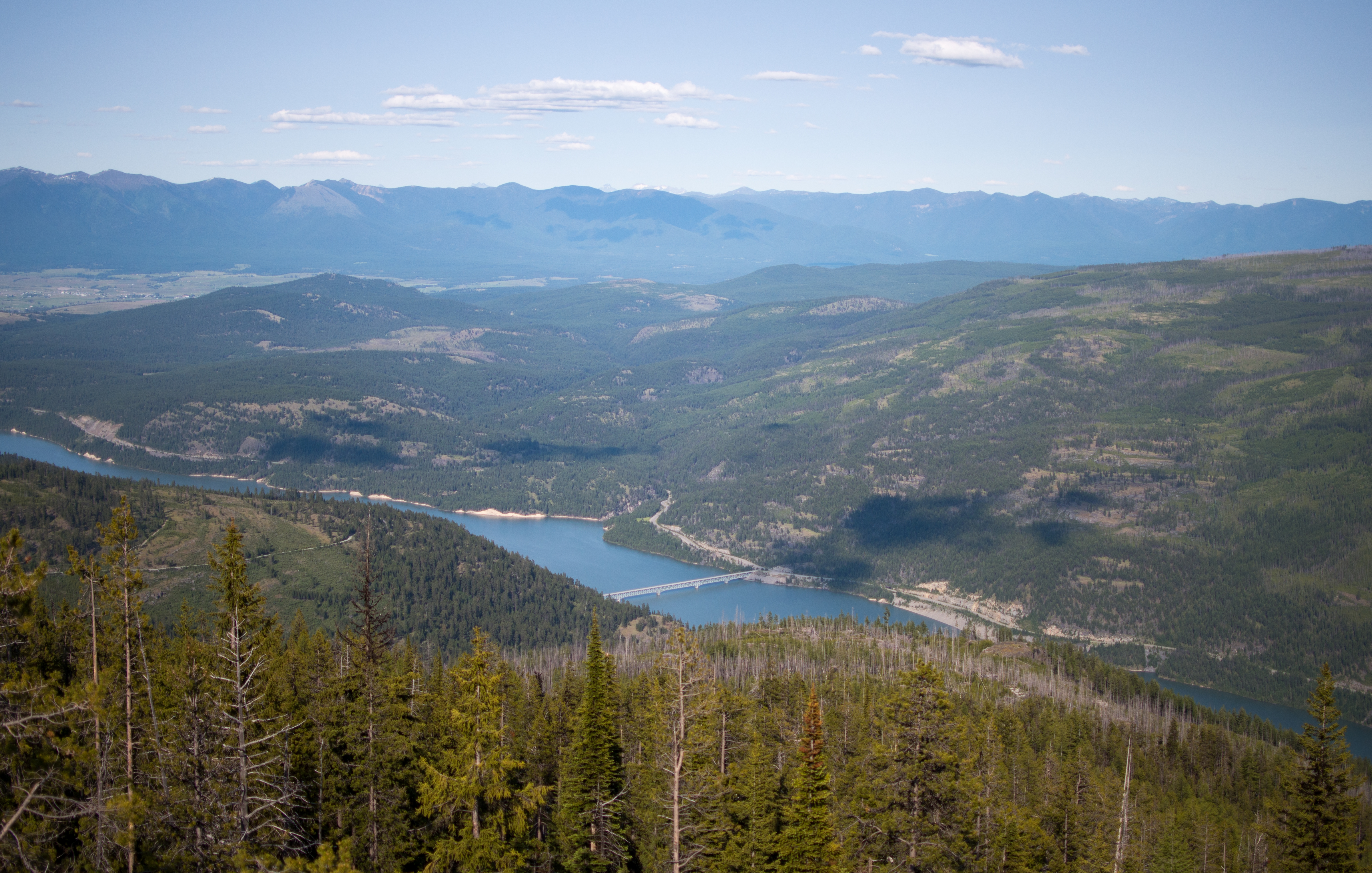
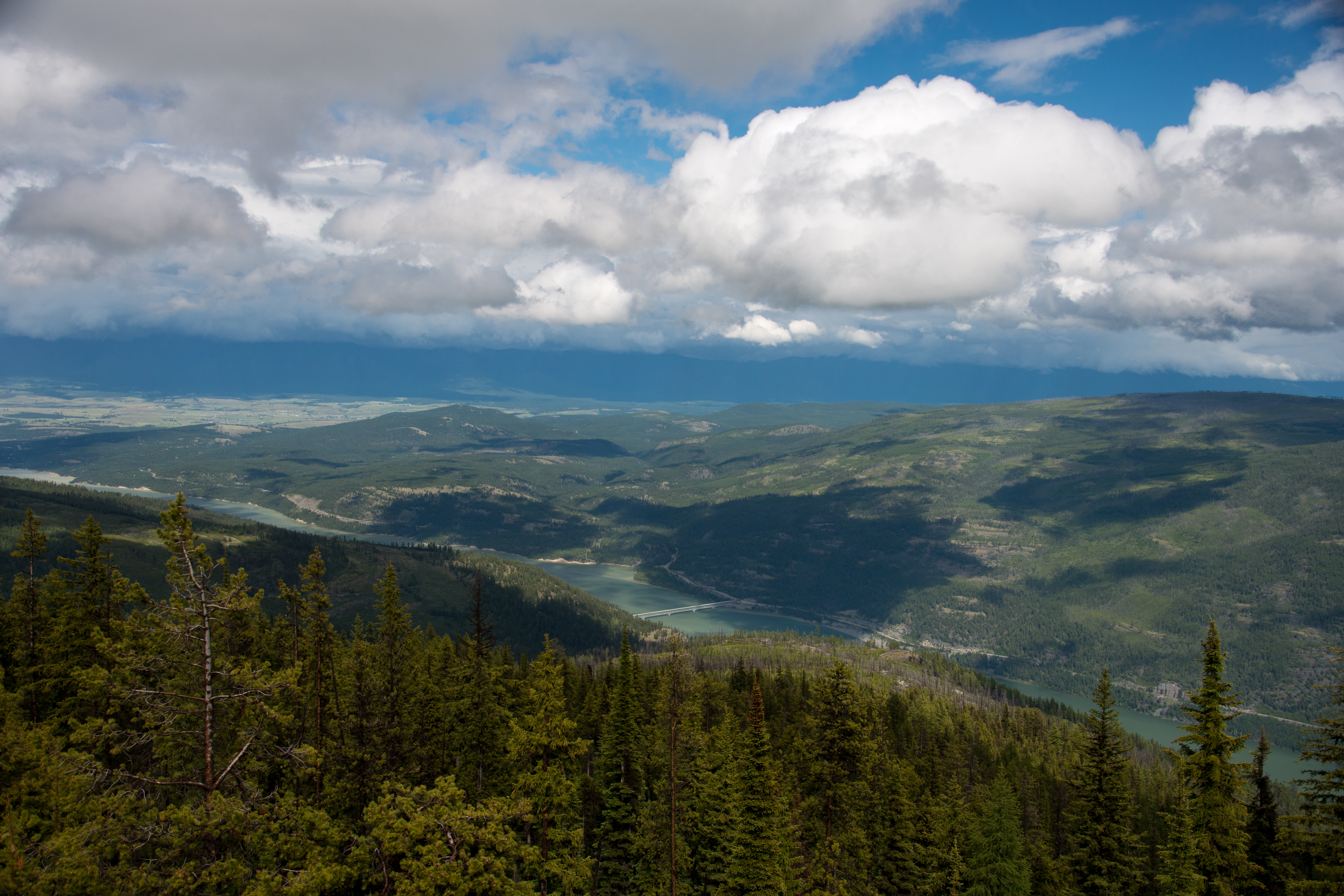
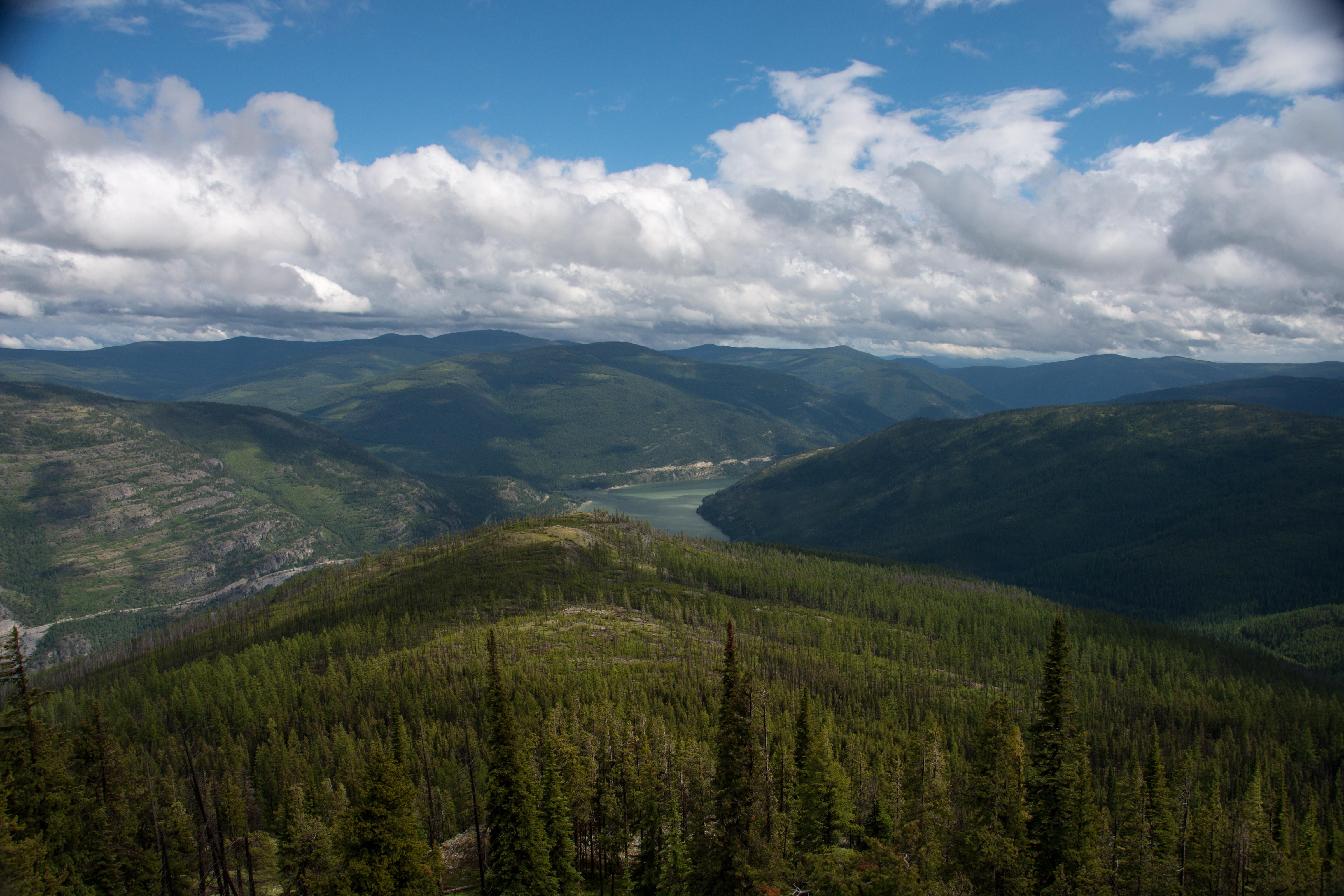
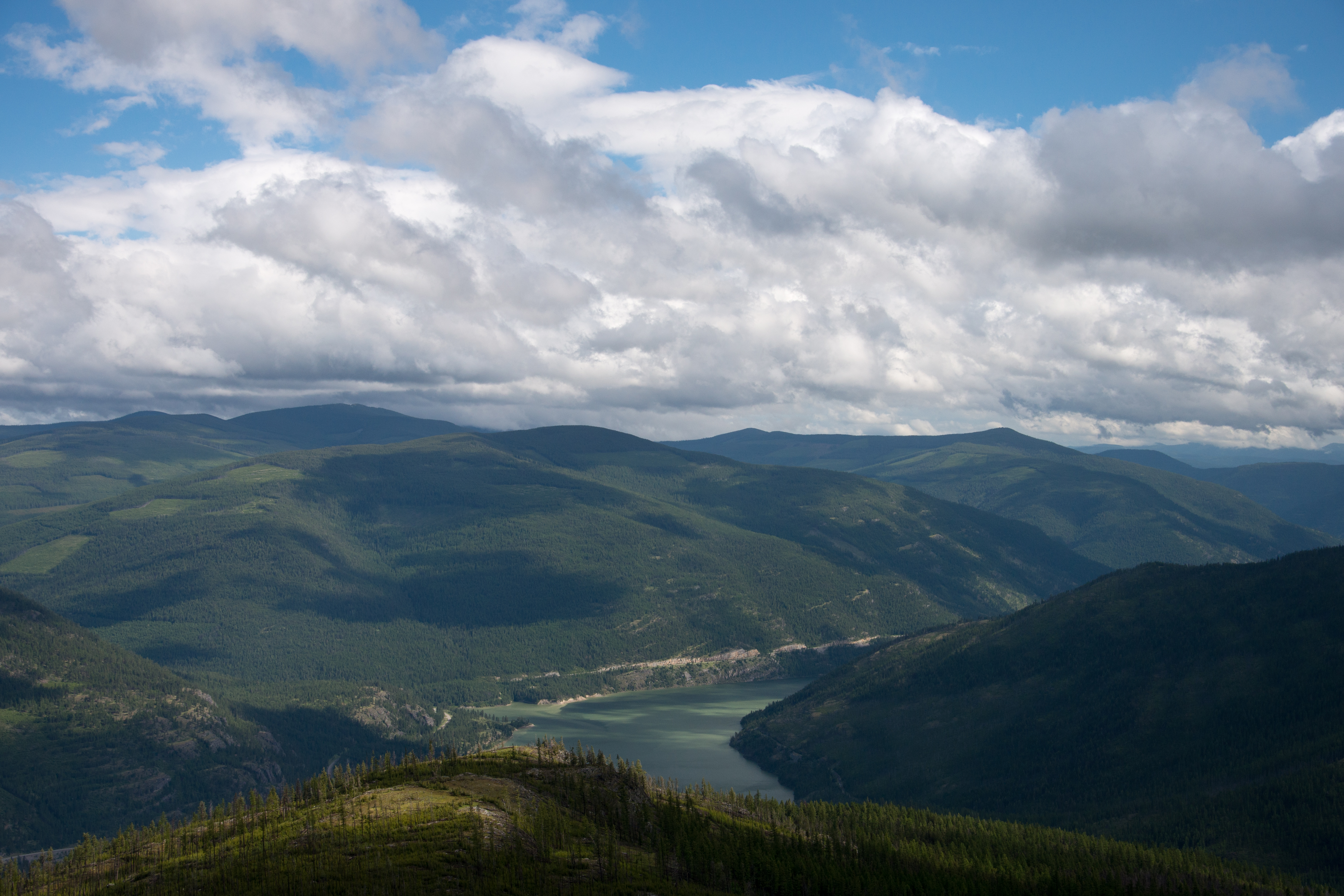
Lake Koocanusa, Rexford, and Eureka Montana from Webb Mountain Lookout on the Kootenai National Forest

Sunset Koocanusa
First rays of sun
Highway 37, MT
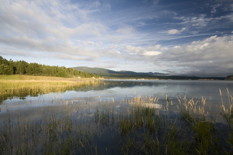
Sophie Lake at sunrise

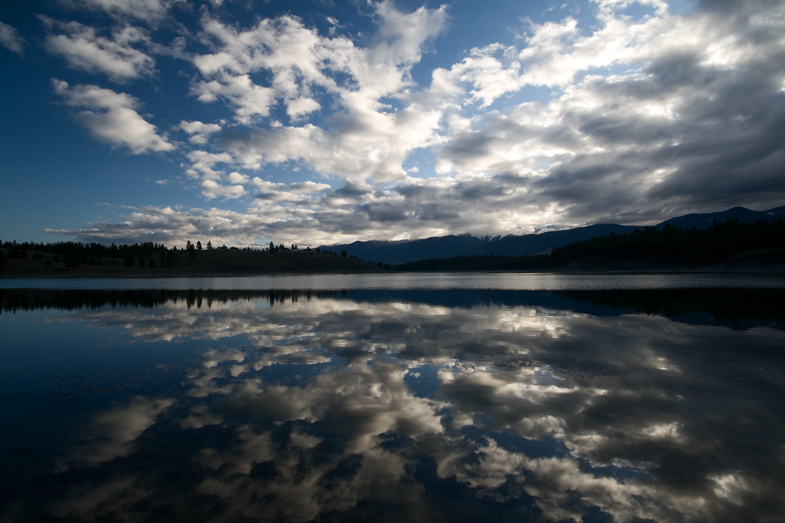
Sunset on Koocanusa Lake
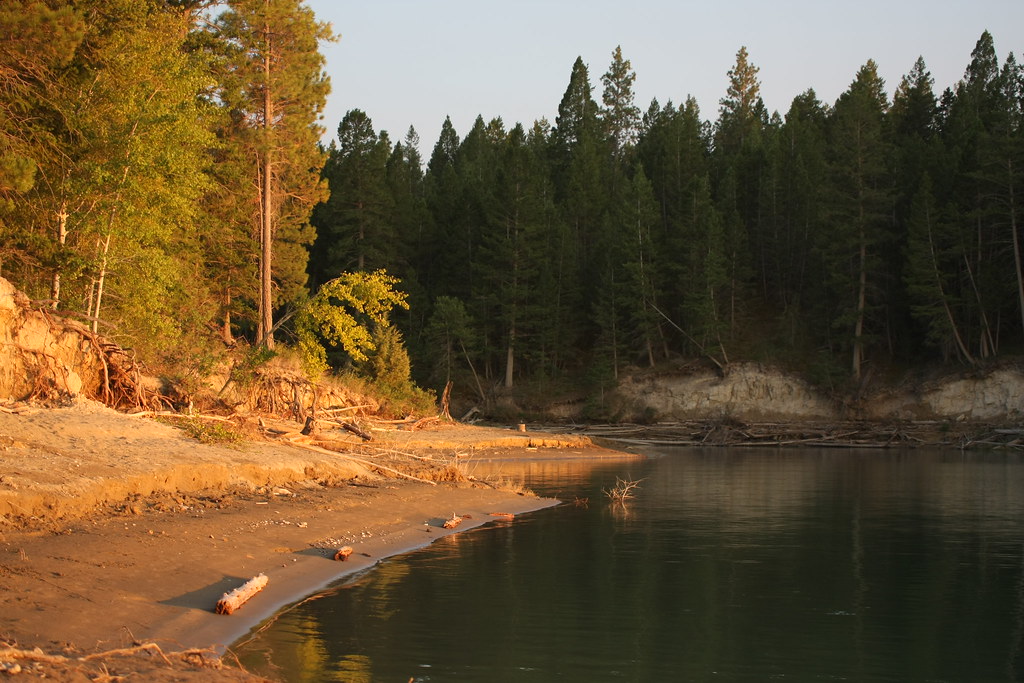
Sandy Shores
DSC_0093.jpg
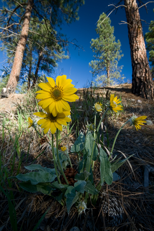
Balsamroot flowers
Light behind the Trees
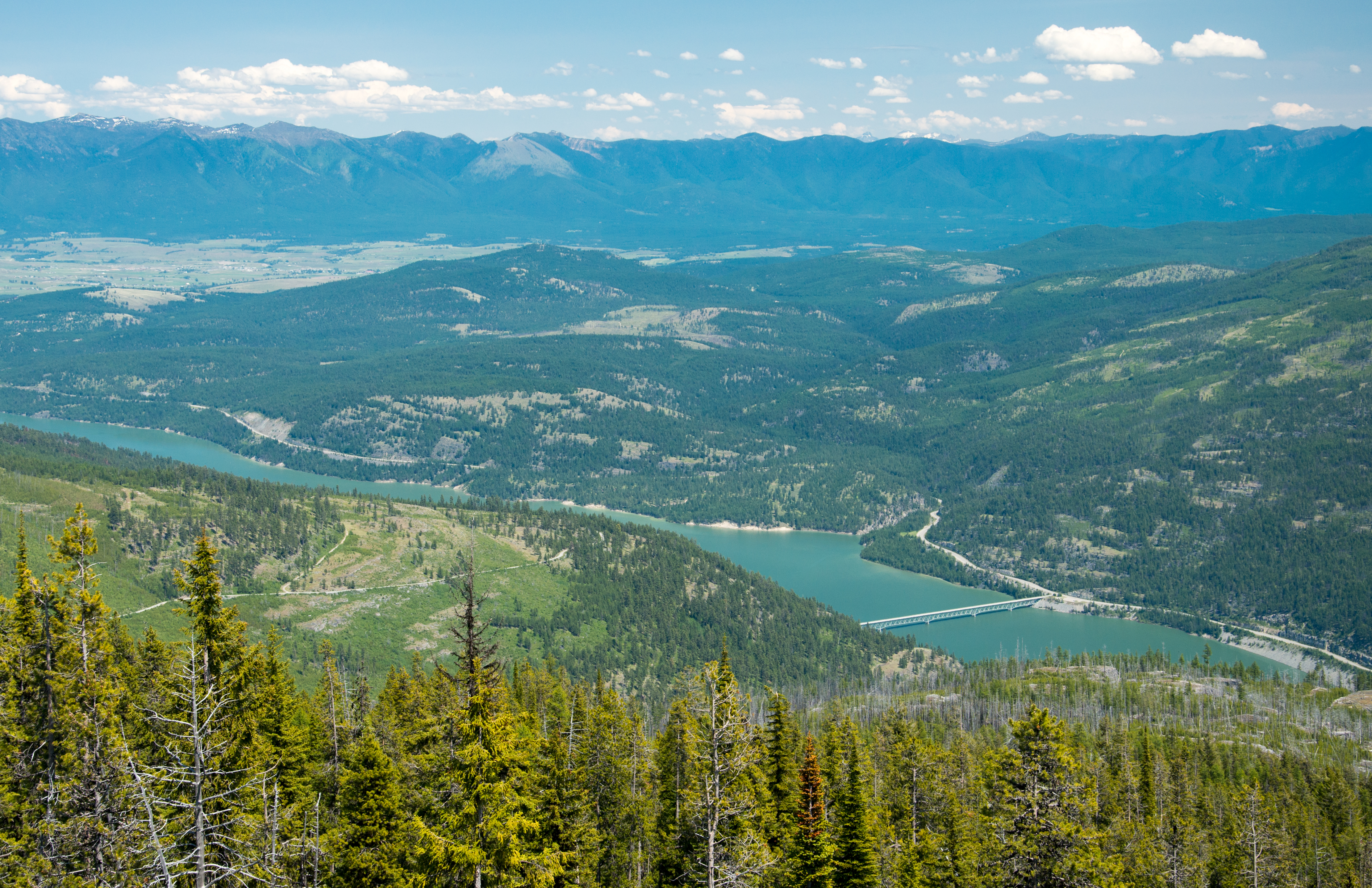
Rolling hills and Lake Koocanusa from Webb Mountain Lookout, Kootenai National Forest in Northwest Montana

Sunset in mono
Lake Koocanusa, Rexford, Eureka, and the Ten Lakes Scenic Area from Webb Mountain Fire Lookout
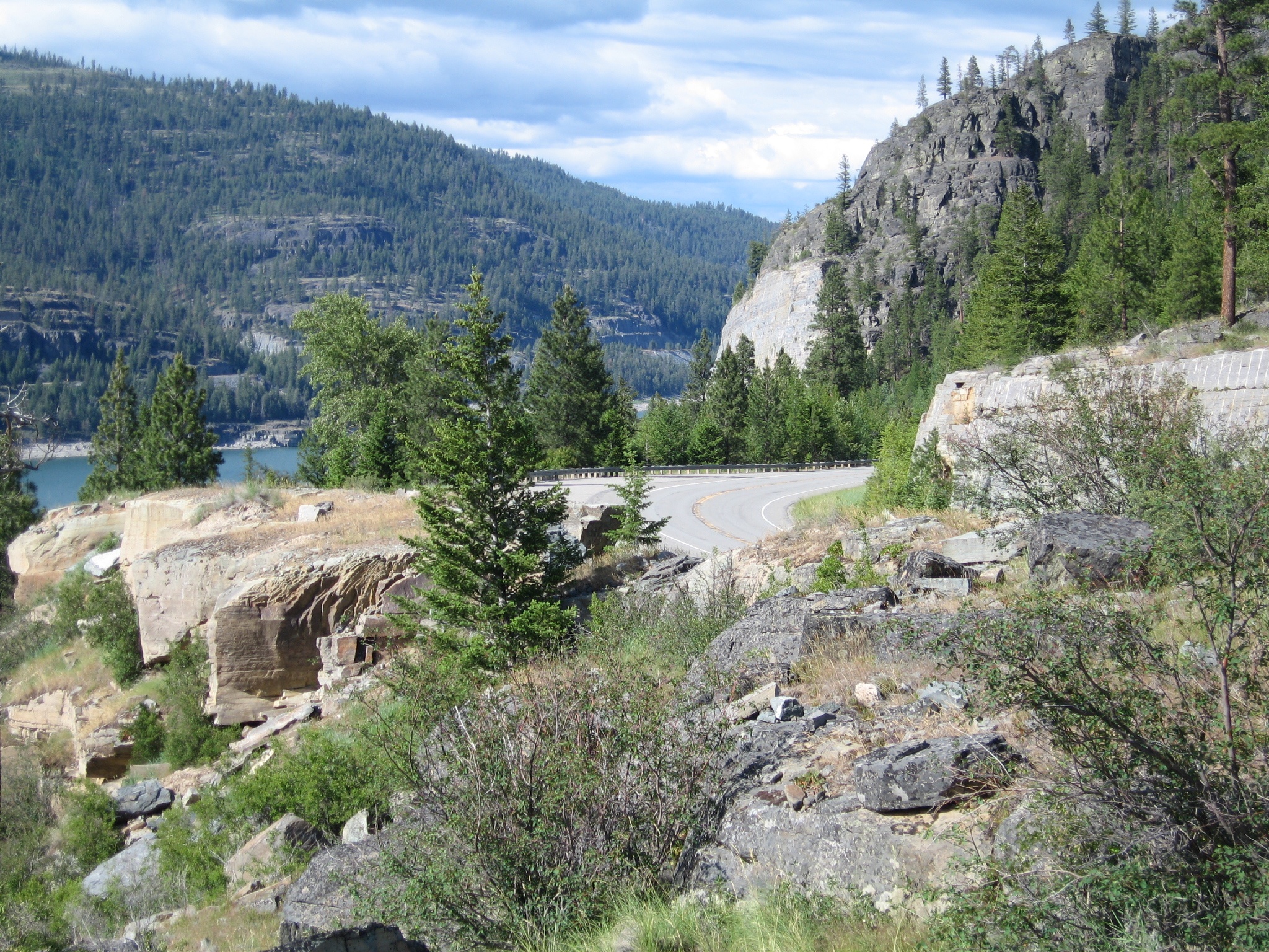
Looking north from the west side of the Lake Koocanusa Bridge, Montana Highway 37 is visible in the center of the photo on the other side of the lake
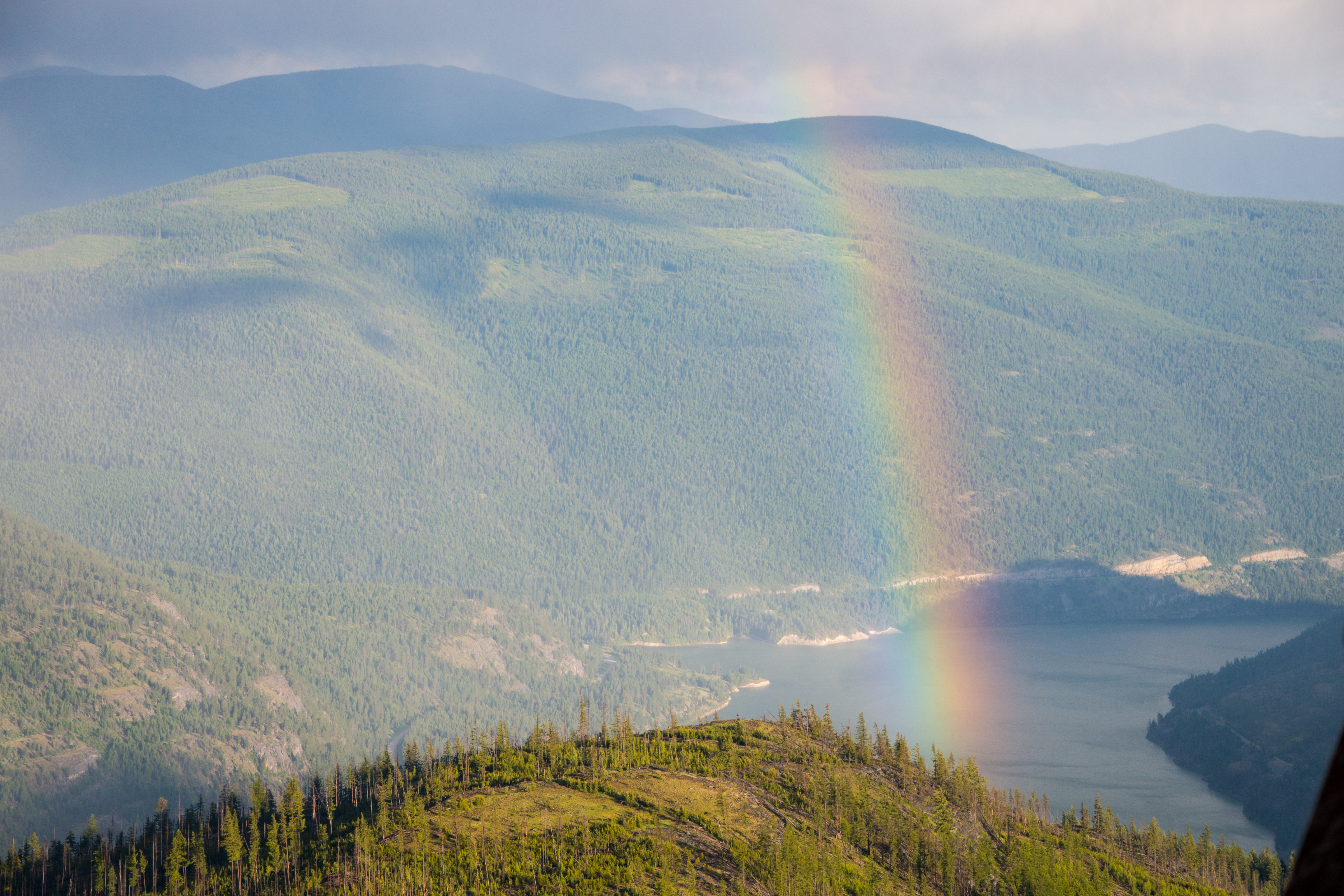
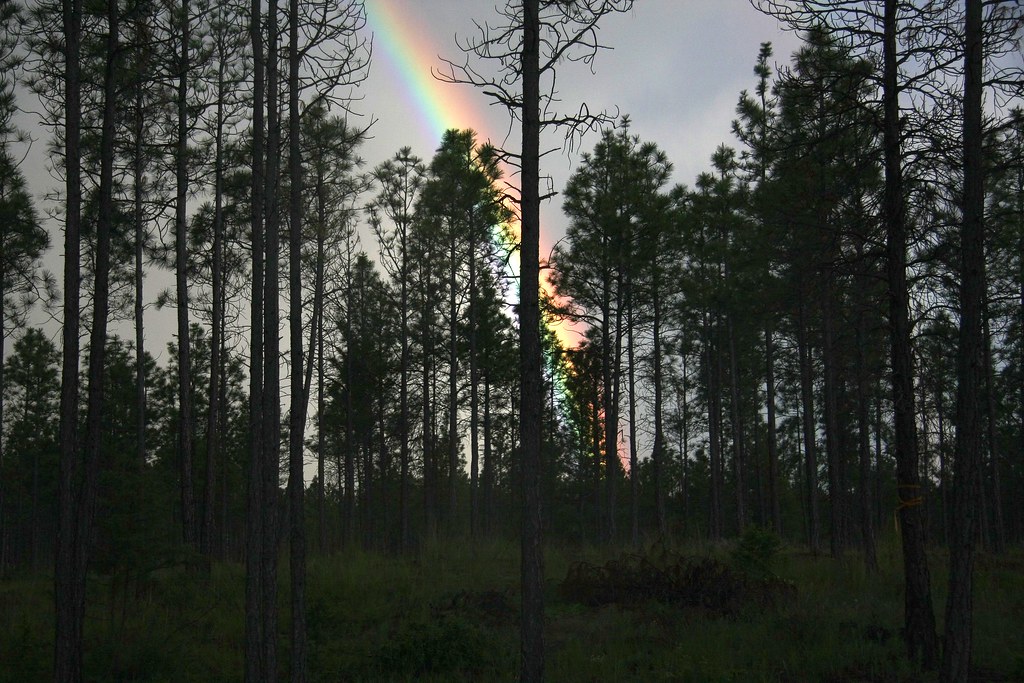
After the storm - a rainbow lingers over Lake Koocanusa, from Webb Mountain Lookout in Northwest Montana
Lake Koocanusa from Webb Mountain Lookout, Kootenai National Forest
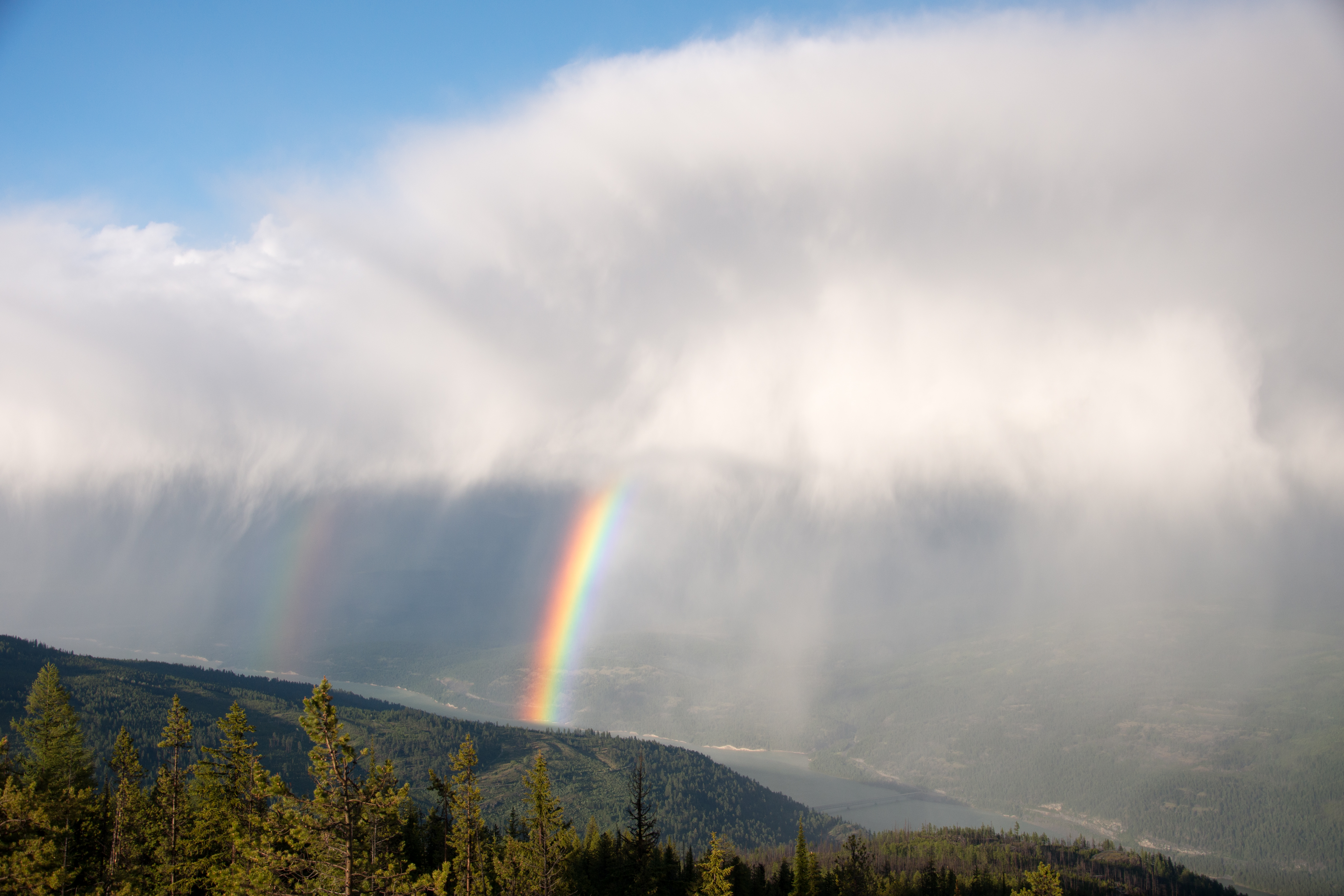
A double rainbow over Lake Koocanusa from Webb Mountain Lookout
the road ahead

Sunset over Koocanusa Lake
Topographic Map of Rexford, MT, USA
Find elevation by address:

Places in Rexford, MT, USA:
Places near Rexford, MT, USA:
Rexford Bench Campground
63 Bobsled Run
882 Gut Creek Rd
3205 Othorp Lake Rd
3205 Othorp Lake Rd
563 Elk Run Dr
1617 Virginia Hill Rd
Indian Springs Ranch
Eureka
Newgate
467 Costich Lake Dr
Roosville
264 Gould Rd
Independence Peak
Grasmere
Ksanka Peak
Eureka, MT, USA
Poorman Mountain
Galton Range
Saint Clair Peak
Recent Searches:
- Elevation of Corso Fratelli Cairoli, 35, Macerata MC, Italy
- Elevation of Tallevast Rd, Sarasota, FL, USA
- Elevation of 4th St E, Sonoma, CA, USA
- Elevation of Black Hollow Rd, Pennsdale, PA, USA
- Elevation of Oakland Ave, Williamsport, PA, USA
- Elevation of Pedrógão Grande, Portugal
- Elevation of Klee Dr, Martinsburg, WV, USA
- Elevation of Via Roma, Pieranica CR, Italy
- Elevation of Tavkvetili Mountain, Georgia
- Elevation of Hartfords Bluff Cir, Mt Pleasant, SC, USA