Elevation of Rexburg, ID, USA
Location: United States > Idaho > Madison County >
Longitude: -111.79242
Latitude: 43.8231096
Elevation: 1482m / 4862feet
Barometric Pressure: 85KPa
Elevation Map:
Satellite Map:
Related Photos:
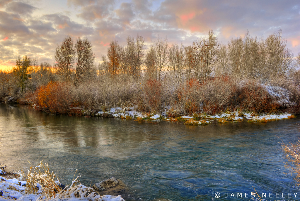
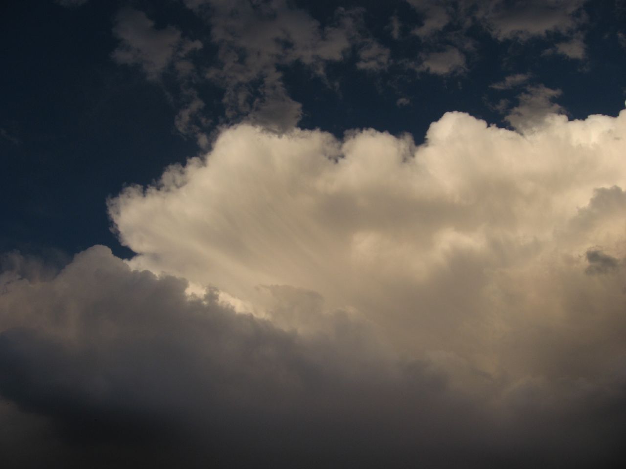
Soft and Cold

Sappy Pine Cone
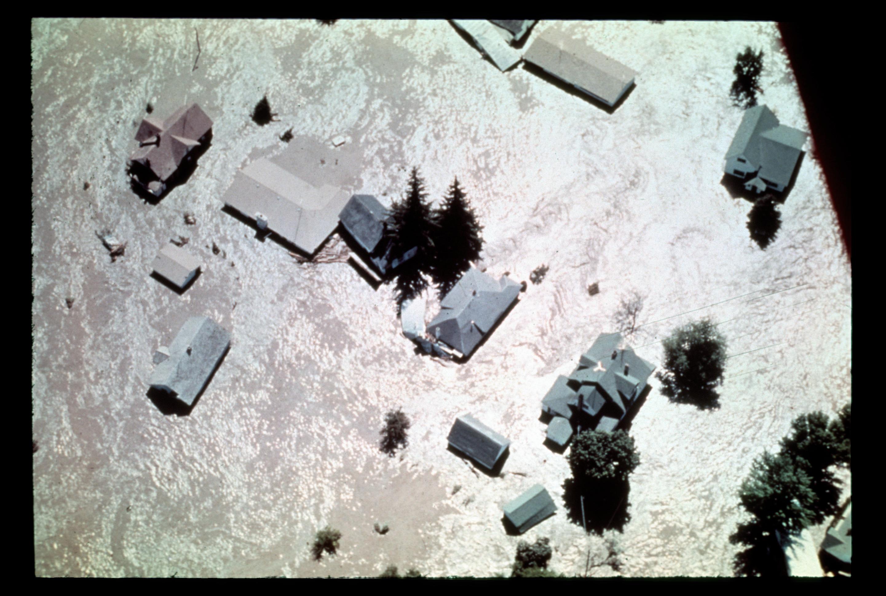
[IDAHO-L-0013] Teton Dam Flood - Wilford
[IDAHO-L-0014] Teton Dam Flood - Wilford

Climbing Couple
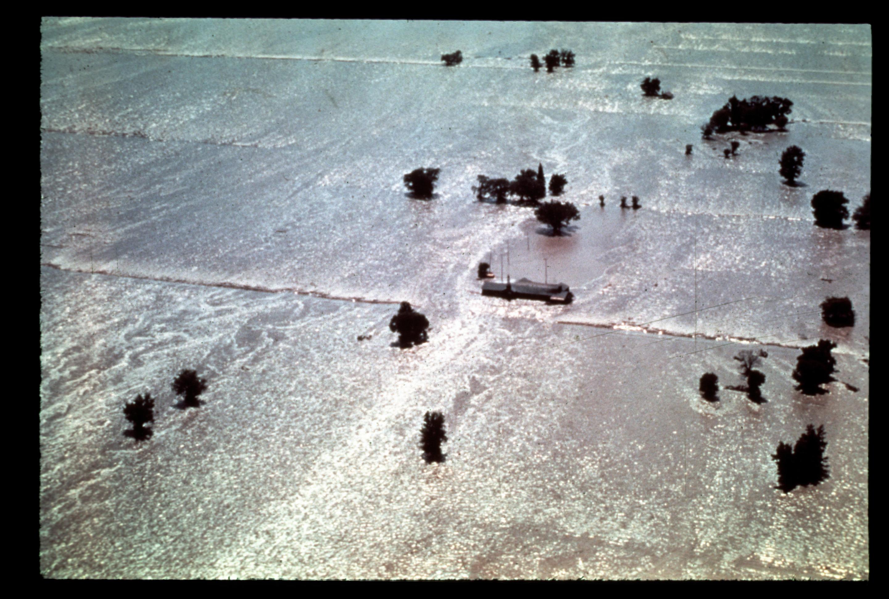
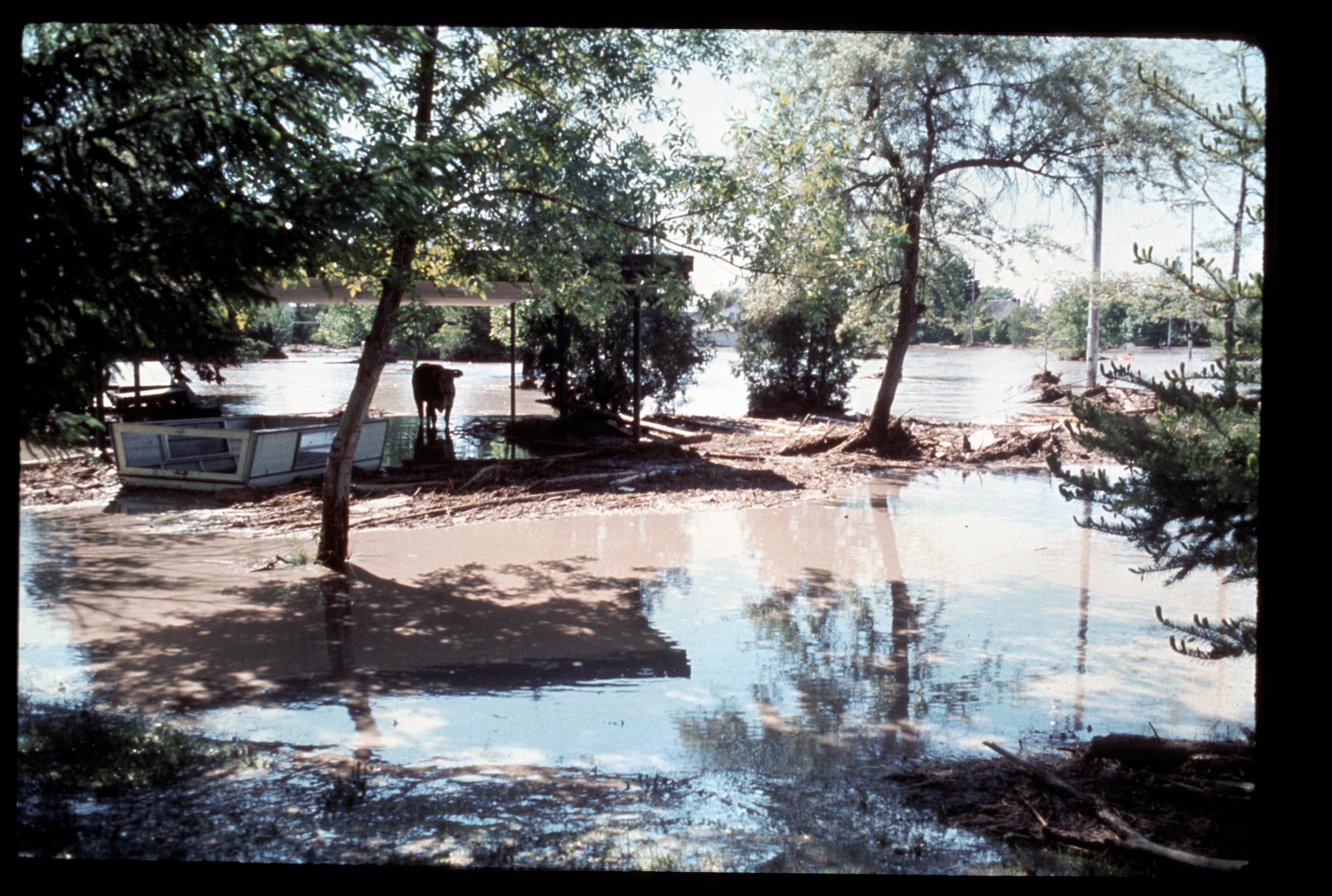
[IDAHO-L-0028] Teton Dam Flood - Rexburg
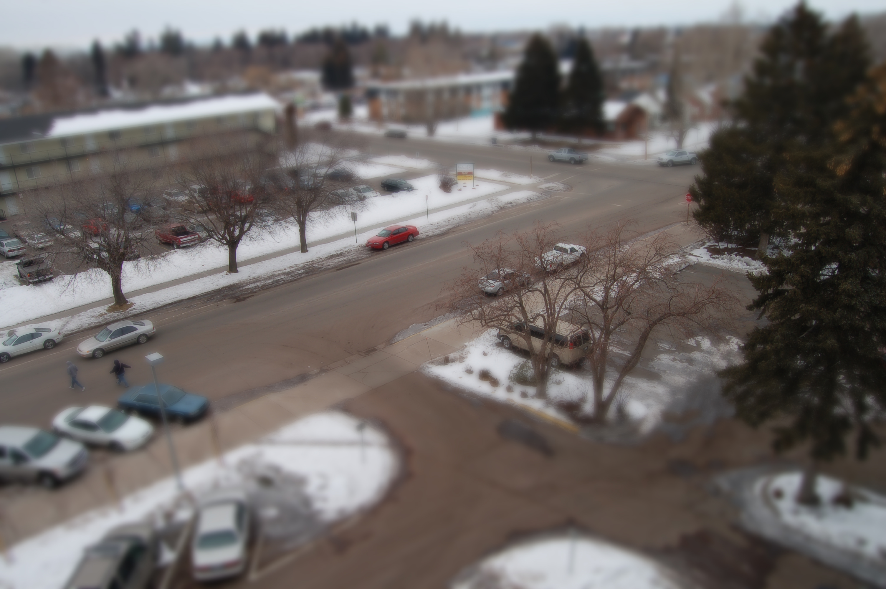
Miniature Rexburg

Lion Head
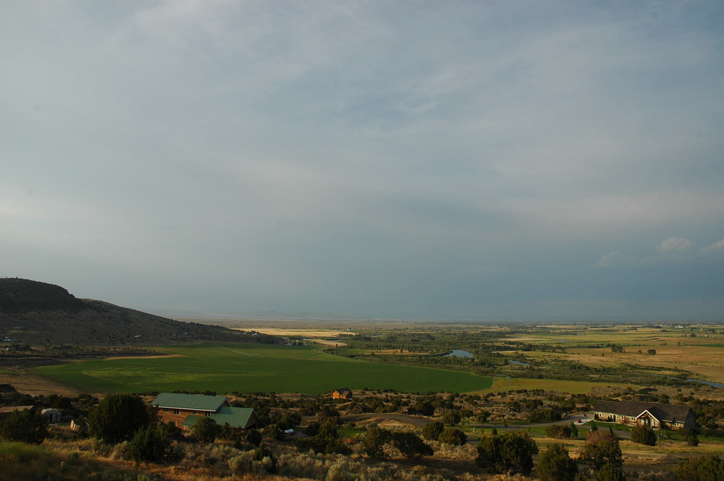
From one Butte to Another

Mother & Daughter
Blue Pink Sky

Rexburg is a pretty place too. #rexburg #idaho #landscape #sky #mountains #clouds #crops
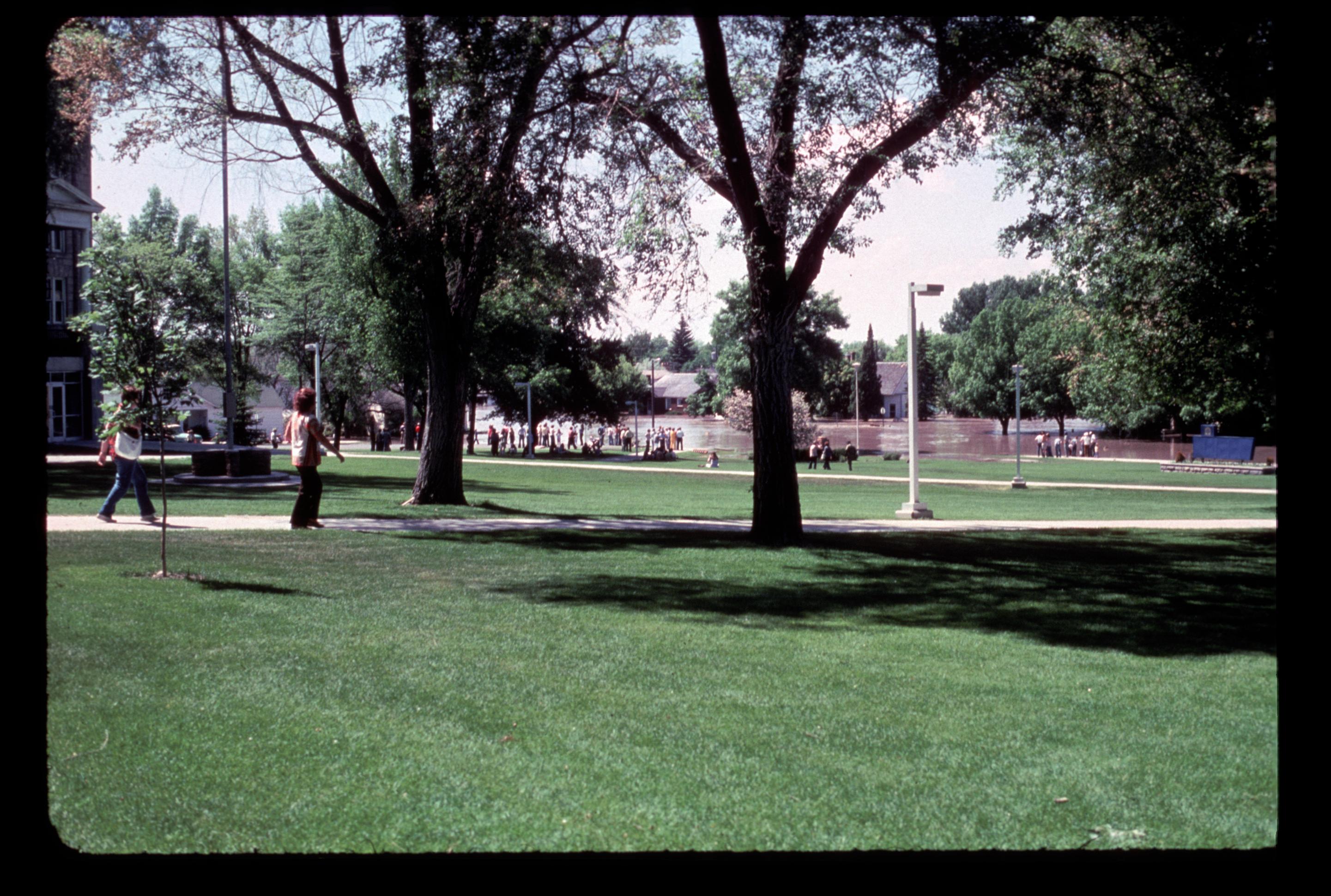
[IDAHO-L-0045] Teton Dam Flood - Rexburg
Sunset Thunderclouds, BYU-Idaho, Rexburg, Idaho

Rusty Car Field
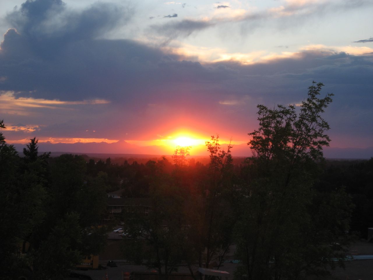
Sunset, BYU-Idaho, Rexburg, Idaho
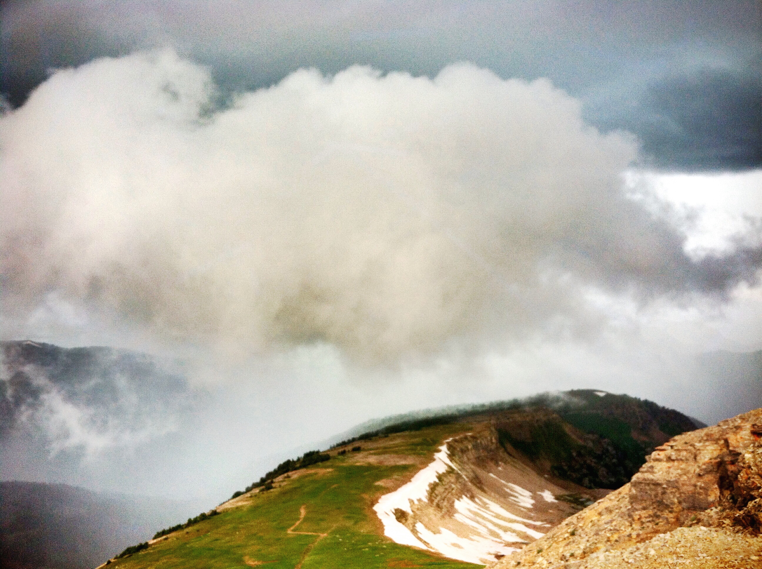
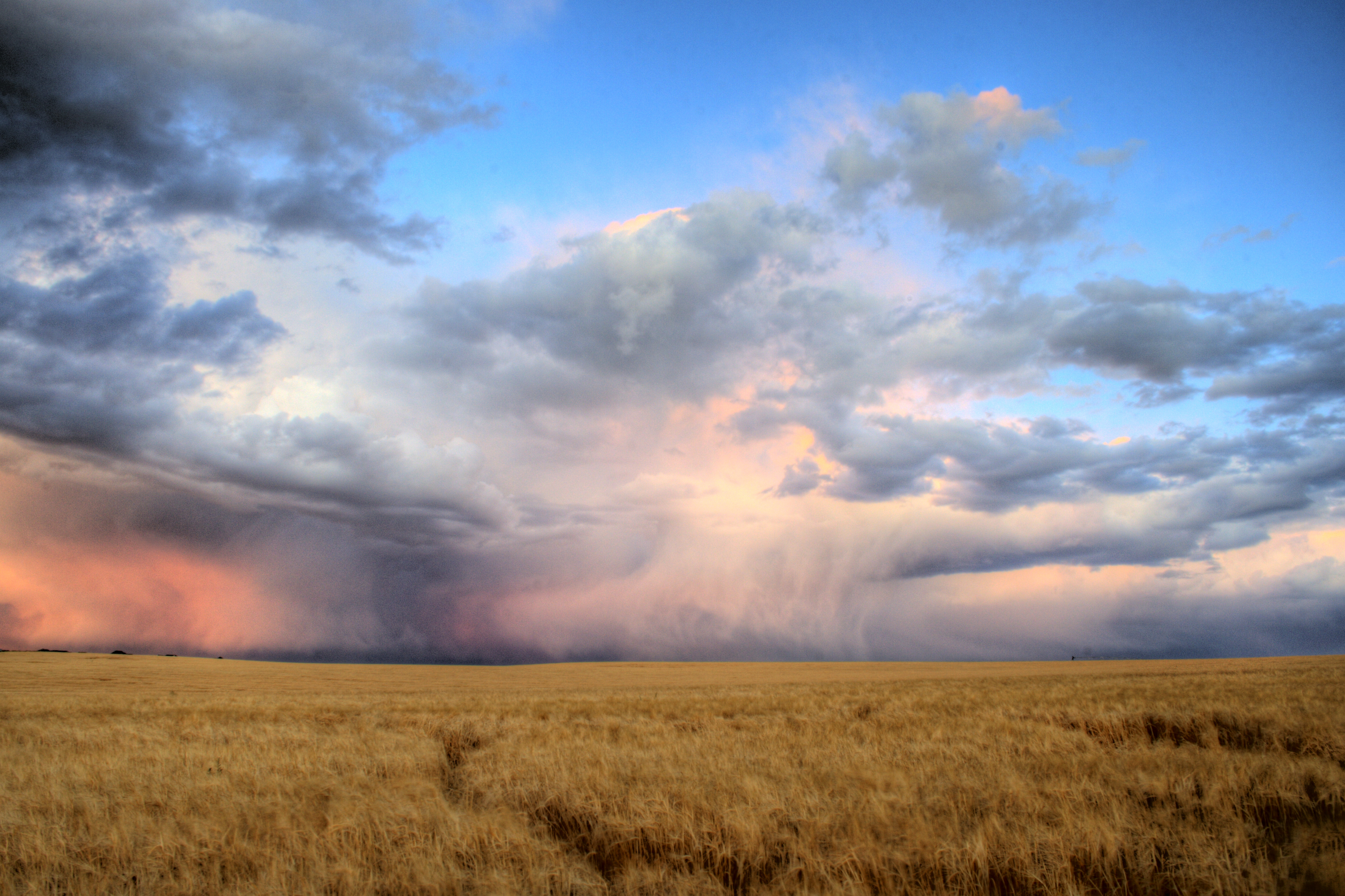
Incoming storm from the west

The Menan Buttes outside of Rexburg, Idaho. They are extinct volcanoes.
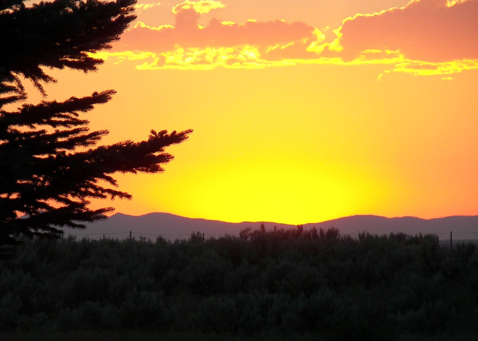
post sunset
The Windows XP Field of Idaho
Tiny Farm House

Hunting beaver. No, really.
Menan Butte

Edit_IMG_1166_Two Guardians
One of my favorite aerial shots around Rexburg. BTS: I had to explain to a police officer what I was doing there. I must have looked like a big threat to the town. He was really cool though. #rexburg #idaho #lds #temple #aerial #flying #airshots #drone #

Ghost Campus

Egin in Winter
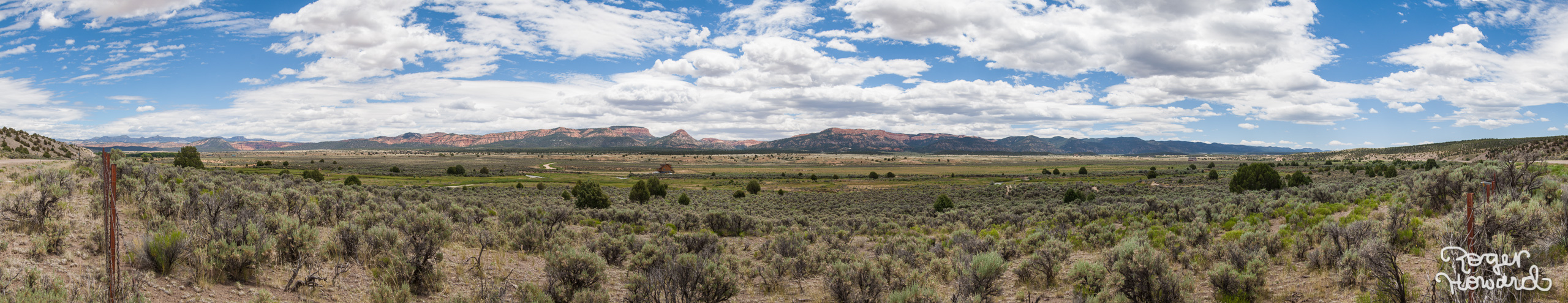
20140627 Idaho Pano 1
Topographic Map of Rexburg, ID, USA
Find elevation by address:

Places in Rexburg, ID, USA:
E S, Rexburg, ID, USA
N W, Rexburg, ID, USA
Taylor Ln, Rexburg, ID, USA
S W, Rexburg, ID, USA
ID-33, Rexburg, ID, USA
S W, Rexburg, ID, USA
Places near Rexburg, ID, USA:
Rexburg, Id - Byu Idaho
350 W 5th S
322 W 2nd N
558 Park St
Main Street Diamonds
Rexburg Rapids
750 S 2nd E
South 7th West
South 7th West
South 7th West
N W, Rexburg, ID, USA
Sugar City
5 E Center St, Sugar City, ID, USA
2839 E 1000 N
Taylor Ln, Rexburg, ID, USA
South 700 West
S W, Rexburg, ID, USA
3452 S 4300 W
Lyman
S W, Rexburg, ID, USA
Recent Searches:
- Elevation of Côte-des-Neiges, Montreal, QC H4A 3J6, Canada
- Elevation of Bobcat Dr, Helena, MT, USA
- Elevation of Zu den Ihlowbergen, Althüttendorf, Germany
- Elevation of Badaber, Peshawar, Khyber Pakhtunkhwa, Pakistan
- Elevation of SE Heron Loop, Lincoln City, OR, USA
- Elevation of Slanický ostrov, 01 Námestovo, Slovakia
- Elevation of Spaceport America, Co Rd A, Truth or Consequences, NM, USA
- Elevation of Warwick, RI, USA
- Elevation of Fern Rd, Whitmore, CA, USA
- Elevation of 62 Abbey St, Marshfield, MA, USA