Elevation of Madison County, ID, USA
Location: United States > Idaho >
Longitude: -111.55837
Latitude: 43.7508332
Elevation: 1912m / 6273feet
Barometric Pressure: 80KPa
Elevation Map:
Satellite Map:
Related Photos:
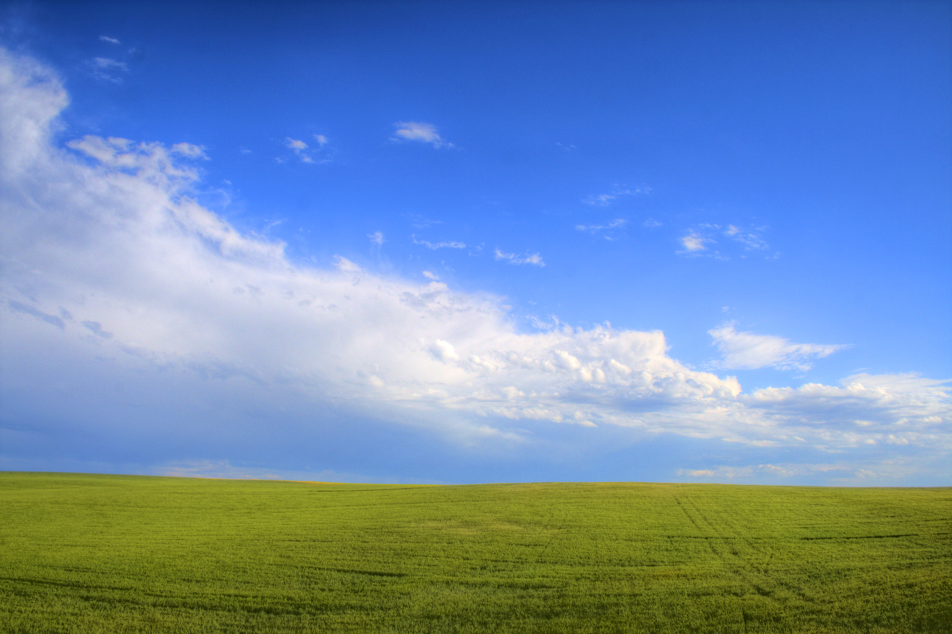
The Windows XP Field of Idaho
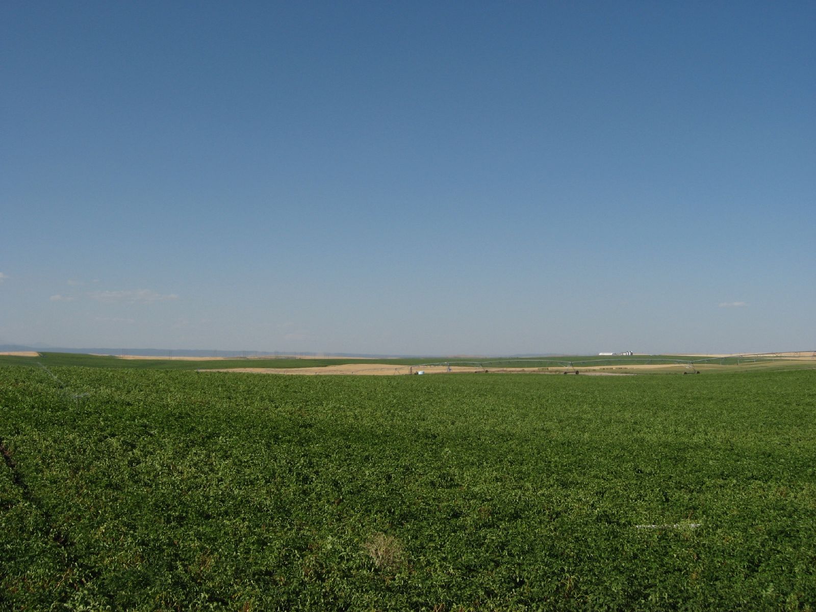
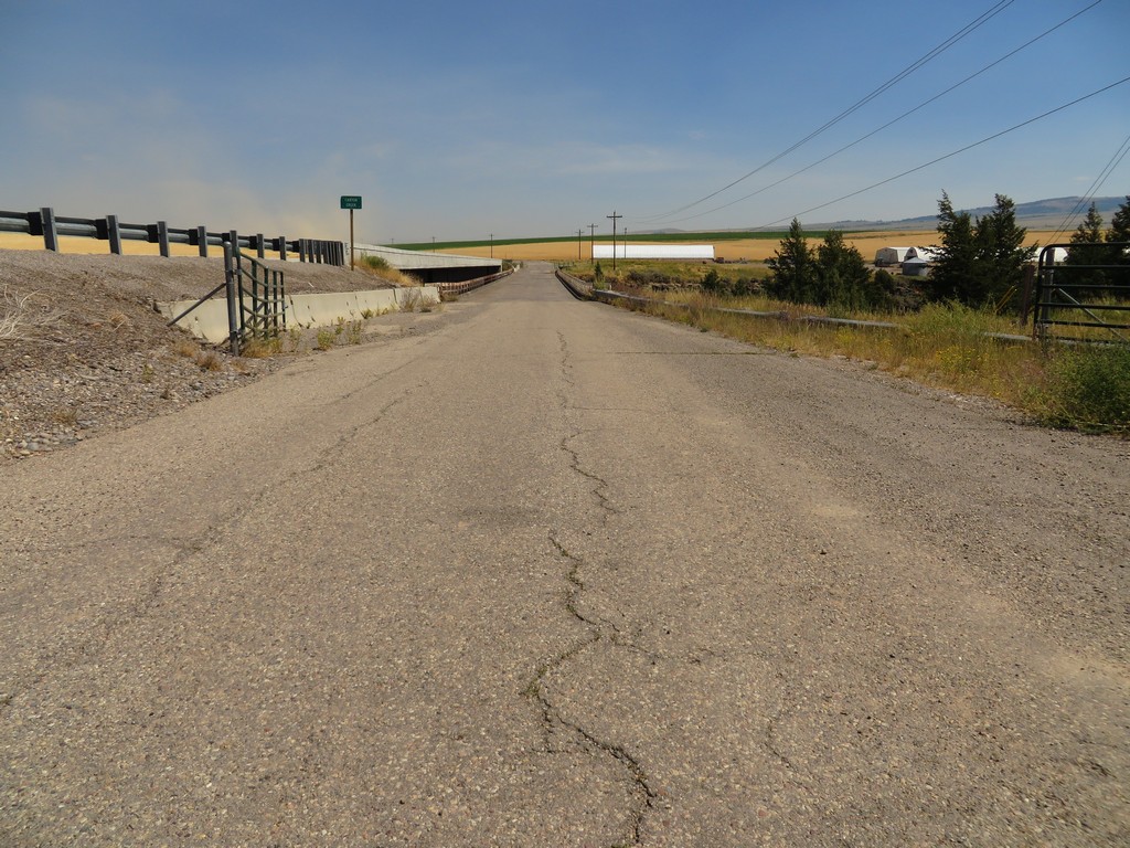
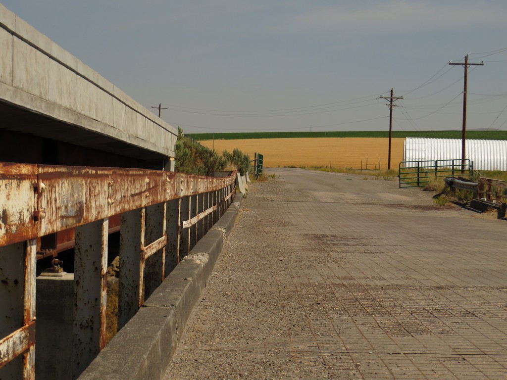
Idaho State Highway 33 Northeast of Rexburg, Idaho
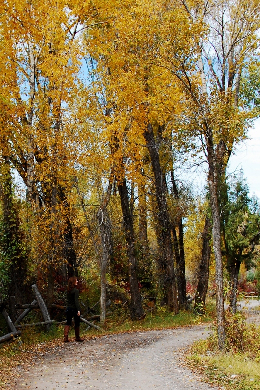
A walk in the woods

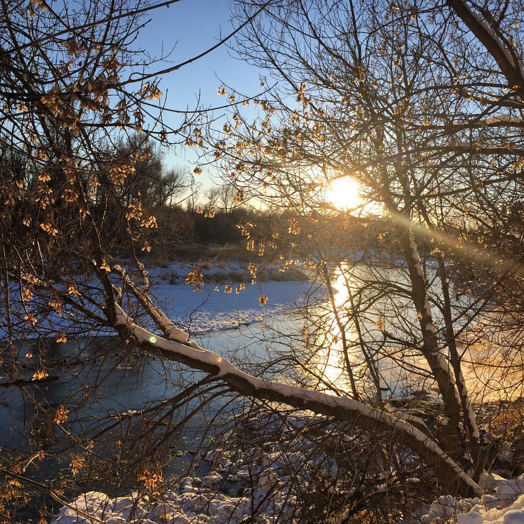
Camping on the south fork of the Snake River, Idaho.
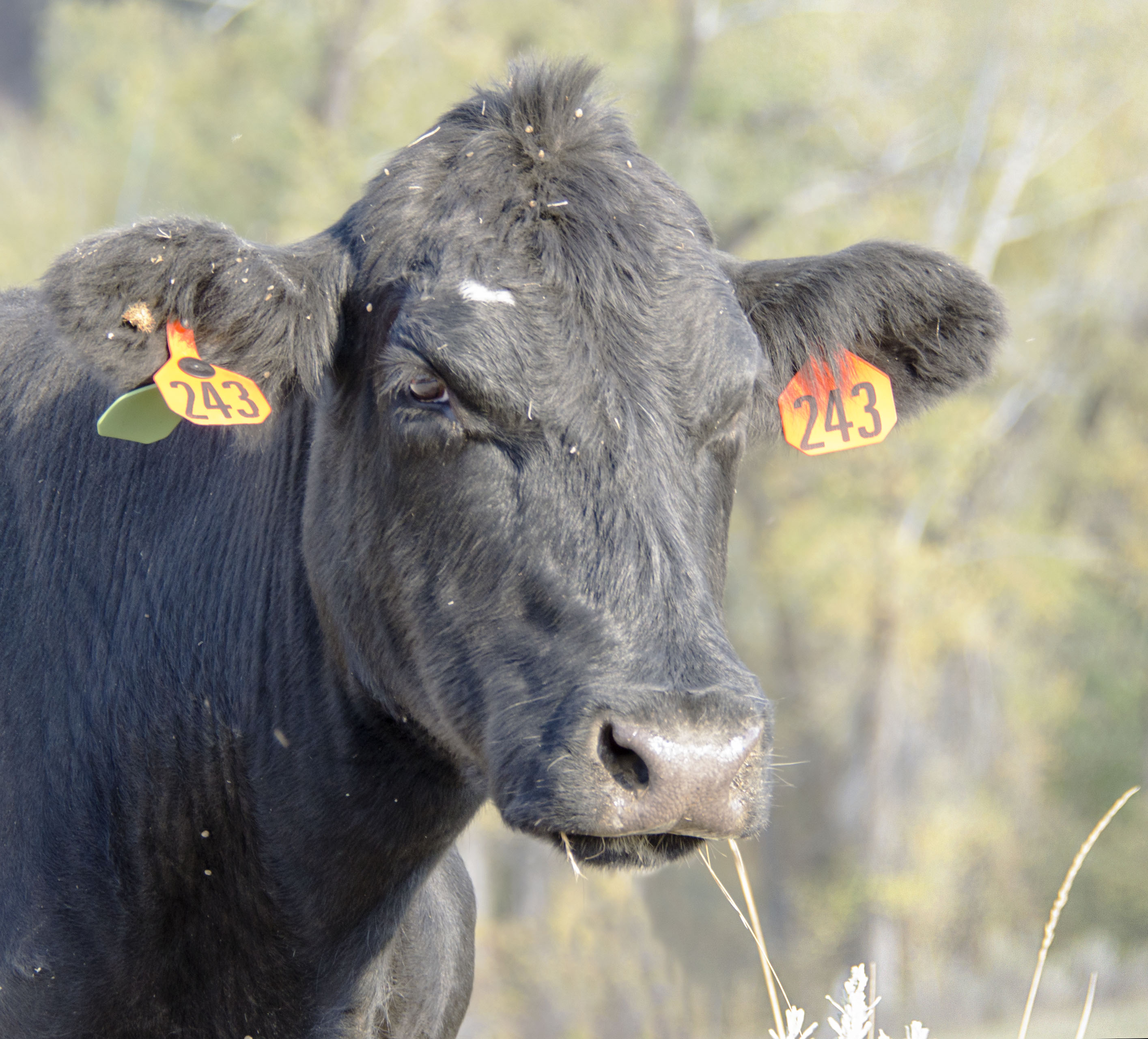
Good Mooo-ning! I udderly miss you all!
Canyon Creek 1

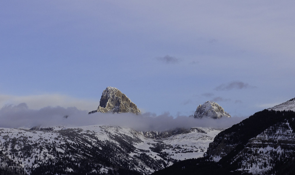
Life is not a one-way street!

Lunch break. #skiing #lodge #tiredpuppies #holidays #idaho #easternidaho
Nuff said. #Idaho #heisehotsprings #thanksgiving #optoutside
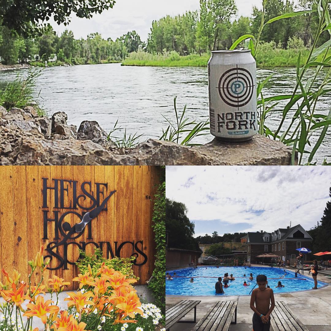
Not a bad way to spend the day. @PayetteBrewing #hotsprings #craftbeer
Chase_Ryan_Assignment2.jpg
Canyon Creek 2
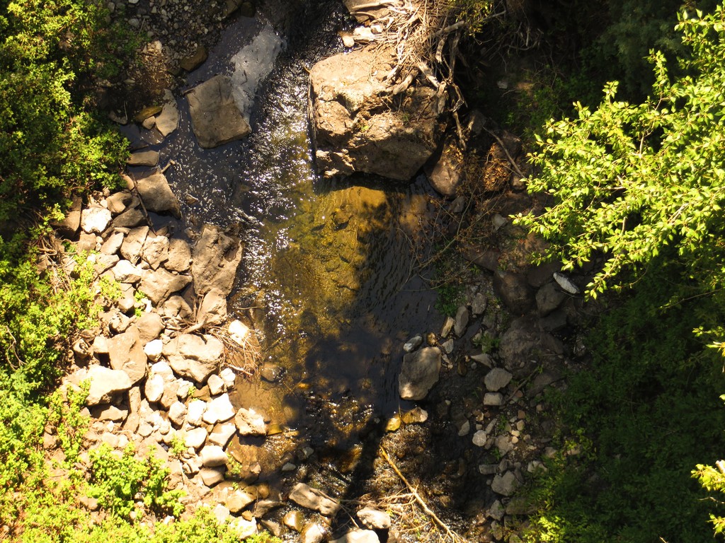
Canyon Creek 4
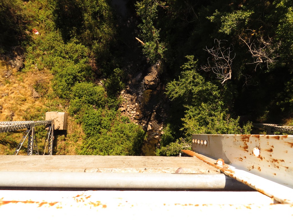
Canyon Creek 3

Family Photo
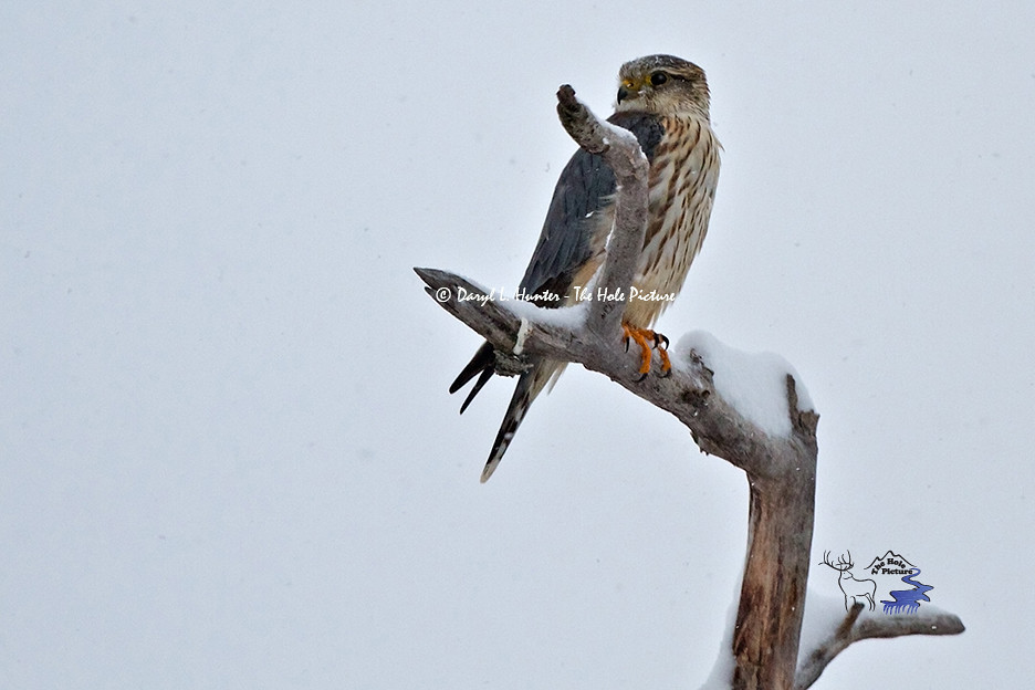
Female Merlin Falcon
Nuthatch in Glass

Same lost hat I saw last year
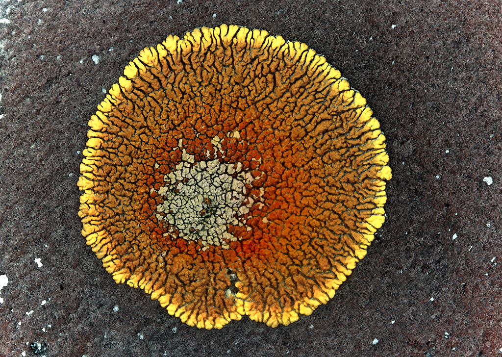
supernova surrounded by stars
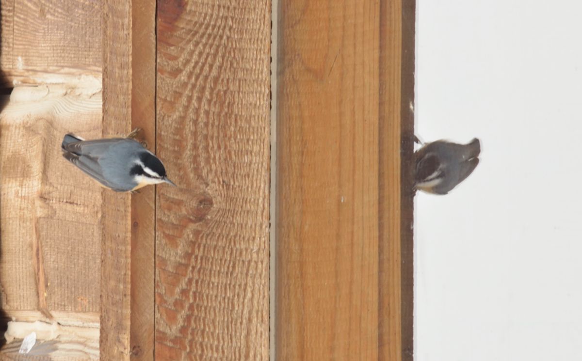
Peeking Out
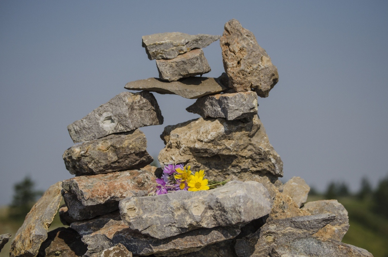
The Monument

Walker Idaho

A river runs through it. #flyfishing #idaho
Topographic Map of Madison County, ID, USA
Find elevation by address:

Places in Madison County, ID, USA:
Places near Madison County, ID, USA:
E N, Teton, ID, USA
Green Canyon Hot Springs
ID-33, Rexburg, ID, USA
Newdale
Kelly Island Campground
E S, Rexburg, ID, USA
44 Main St, Teton, ID, USA
Teton
N E, Ririe, ID, USA
14195 N 175 E
2839 E 1000 N
E S, Rexburg, ID, USA
E N, Rigby, ID, USA
317 Teton Hwy
10260 S 600 E
5 E Center St, Sugar City, ID, USA
Sugar City
South 7th West
South 7th West
South 7th West
Recent Searches:
- Elevation of Zimmer Trail, Pennsylvania, USA
- Elevation of 87 Kilmartin Ave, Bristol, CT, USA
- Elevation of Honghe National Nature Reserve, QP95+PJP, Tongjiang, Heilongjiang, Jiamusi, Heilongjiang, China
- Elevation of Hercules Dr, Colorado Springs, CO, USA
- Elevation of Szlak pieszy czarny, Poland
- Elevation of Griffing Blvd, Biscayne Park, FL, USA
- Elevation of Kreuzburger Weg 13, Düsseldorf, Germany
- Elevation of Gateway Blvd SE, Canton, OH, USA
- Elevation of East W.T. Harris Boulevard, E W.T. Harris Blvd, Charlotte, NC, USA
- Elevation of West Sugar Creek, Charlotte, NC, USA