Elevation of Revava
Longitude: 35.129583
Latitude: 32.11871
Elevation: 452m / 1483feet
Barometric Pressure: 96KPa
Elevation Map:
Satellite Map:
Related Photos:
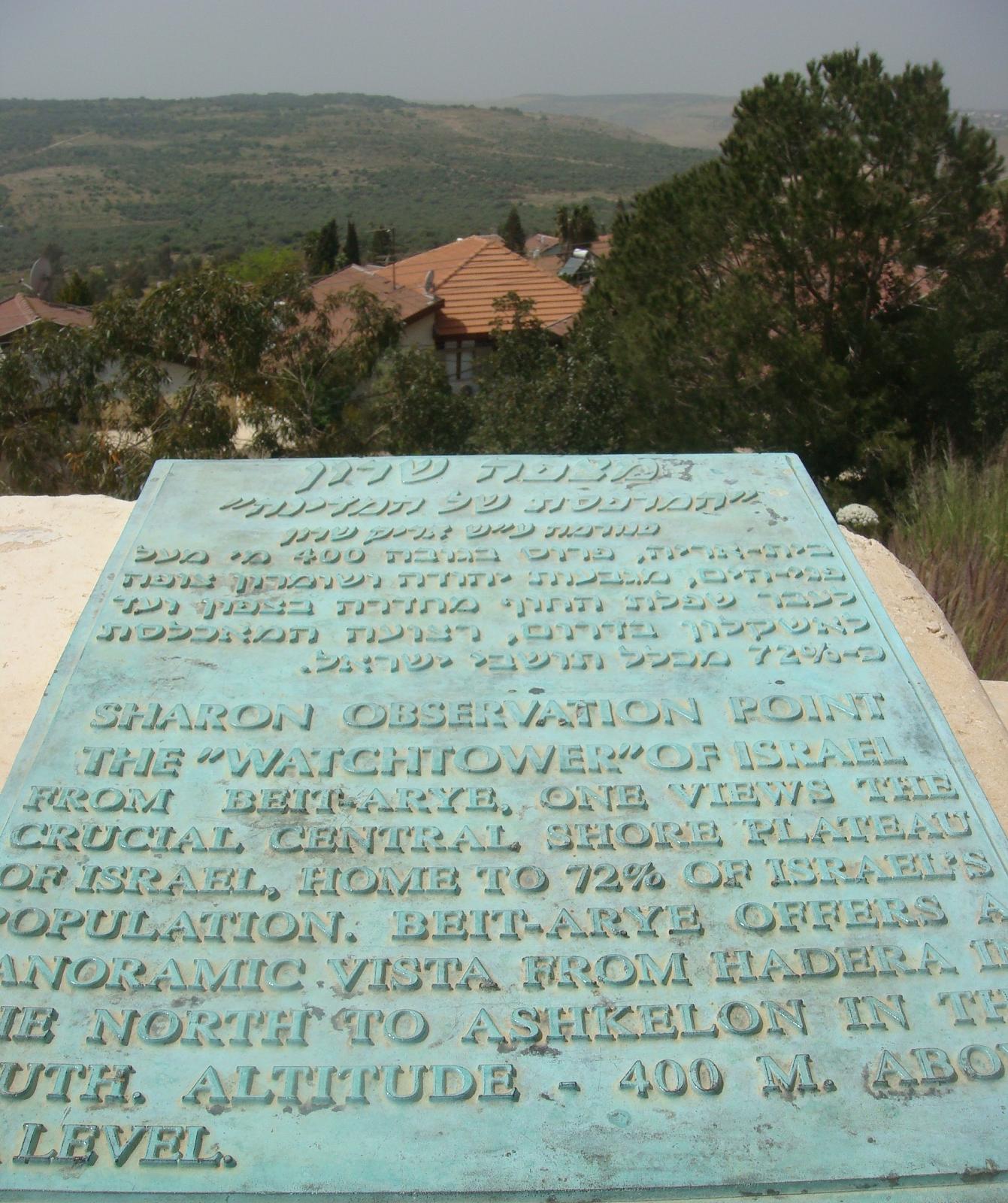
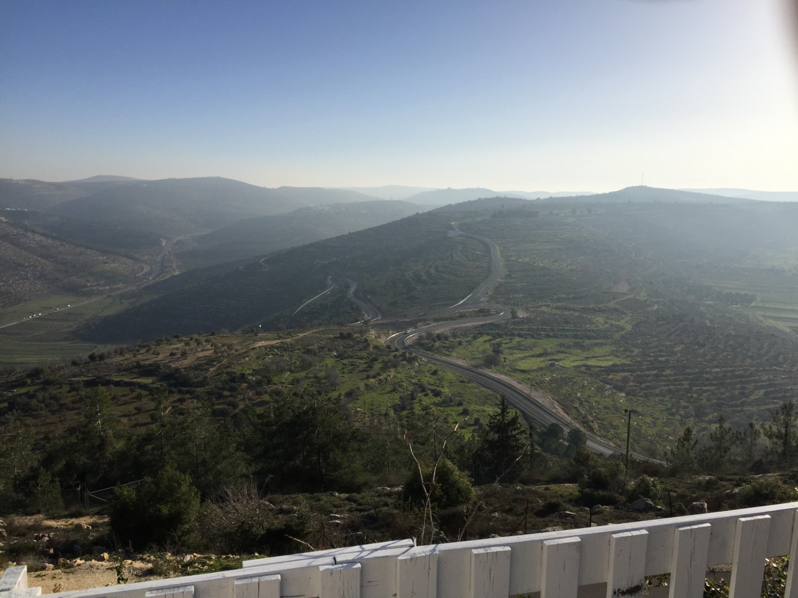
Observation point in Bet Arieh

view of Rawabi

Nablus Panoramic

Lubban. Showing zig-zag motor road
His view

Clouds over Hills

View from Ir David

Nablus, Westbank, Israel

Israel 2011

Cave Tomb

Bashar Masri, developer of Rawabi meets with us to talk with us about his vision for the city.

Pretty sunset from the boat last night at 9:10pm! Loving all the late night and early morning light.

#sunset #january #11 #2016

Lonely Tree in Yizhar I ●S95●
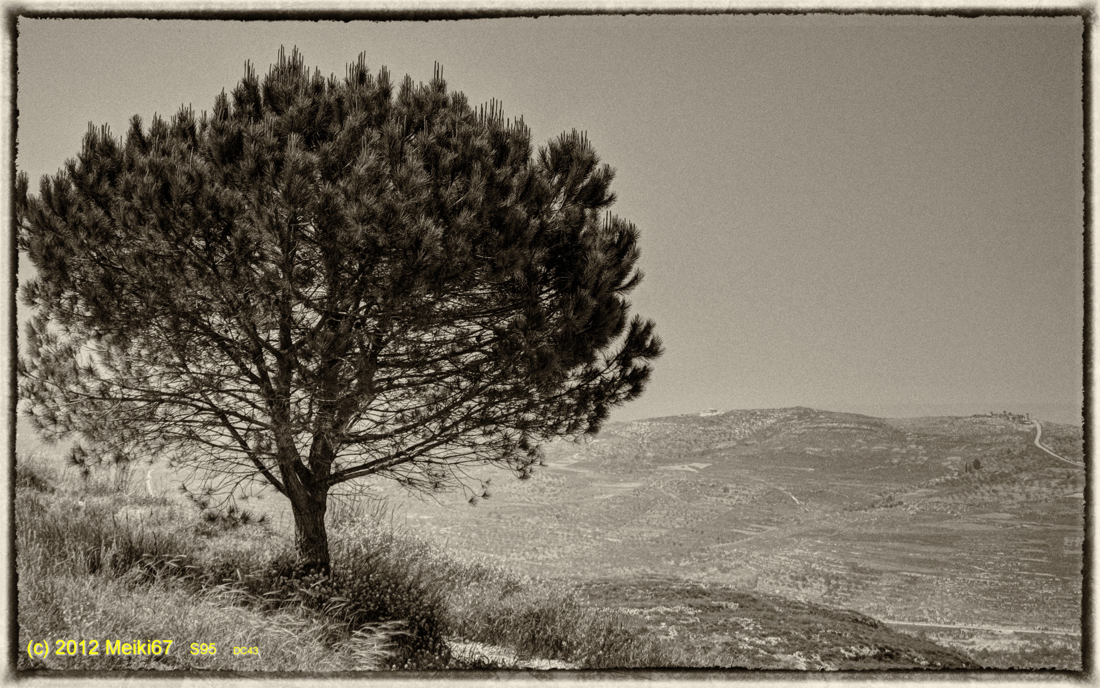
Lonely Tree in Yizhar II ●S95●

Palestine Feb-10.jpg

130704 Nablus

Israel 2011

Jerusalem, July 2013

Land of Honey

Samaritan village, near Nablus

Вид на деревни в Самарии

Asphodelus ramosus

I hate municipal tax but I like the output :-)
Topographic Map of Revava
Find elevation by address:

Places near Revava:
At Tall
Yakir
Immanuel
Alei Zahav
Pedu'el
Elkana
Sha'arei Tikva
Halamish
Beit Aryeh-ofarim
Rantis
Petach Tikva
Shoham
Petah Tikva
Altalef Street
40, Ben-Gurion Airport, Israel
Yehud-monosson
Yehud
Beilinson
Kiryat Ono
Harimon St 45
Recent Searches:
- Elevation of 7 Waterfall Way, Tomball, TX, USA
- Elevation of SW 57th Ave, Portland, OR, USA
- Elevation of Crocker Dr, Vacaville, CA, USA
- Elevation of Pu Ngaol Community Meeting Hall, HWHM+3X7, Krong Saen Monourom, Cambodia
- Elevation of Royal Ontario Museum, Queens Park, Toronto, ON M5S 2C6, Canada
- Elevation of Groblershoop, South Africa
- Elevation of Power Generation Enterprises | Industrial Diesel Generators, Oak Ave, Canyon Country, CA, USA
- Elevation of Chesaw Rd, Oroville, WA, USA
- Elevation of N, Mt Pleasant, UT, USA
- Elevation of 6 Rue Jules Ferry, Beausoleil, France