Elevation of Immanuel
Longitude: 35.136036
Latitude: 32.160688
Elevation: 401m / 1316feet
Barometric Pressure: 97KPa
Elevation Map:
Satellite Map:
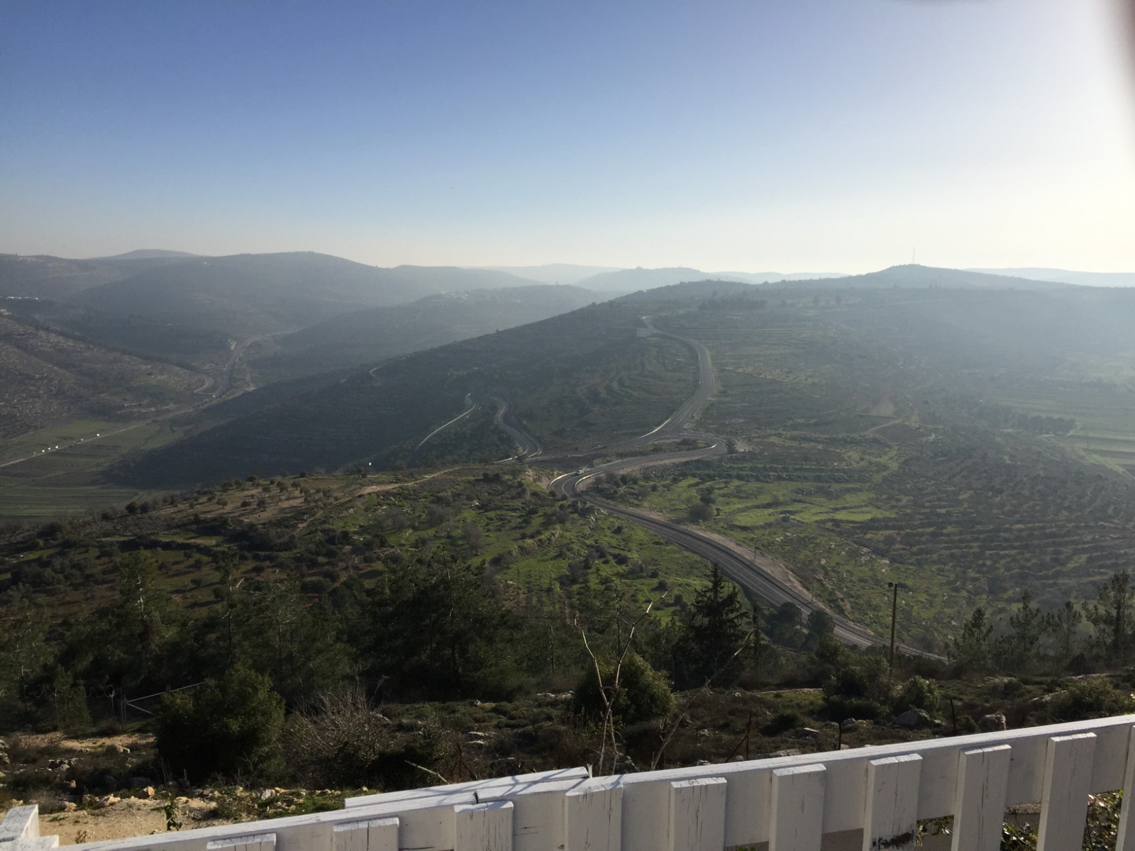
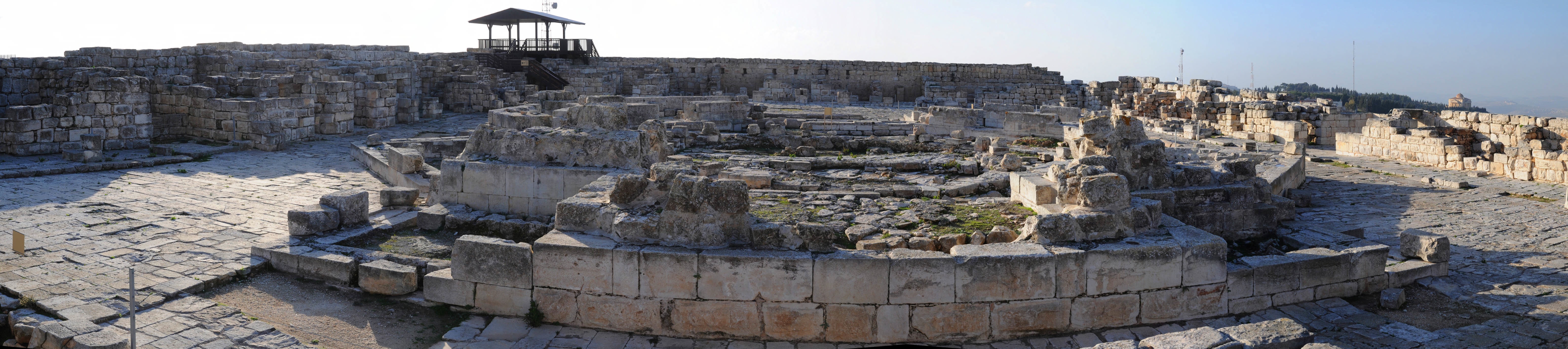
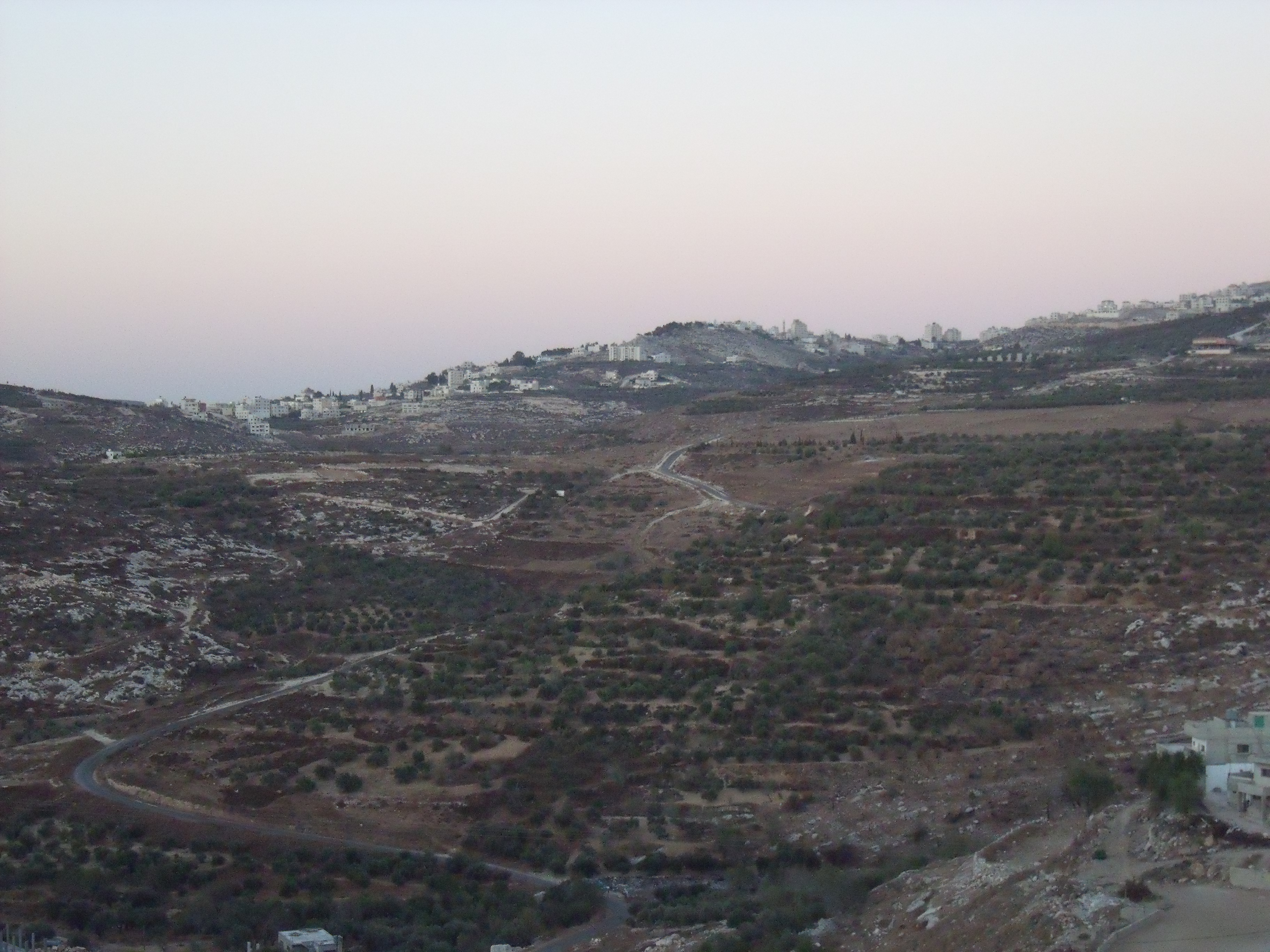
Related Photos:

Nablus Panoramic

Lubban. Showing zig-zag motor road
His view

Clouds over Hills

View from Ir David

Nablus (PS)

Nablus From Gerzim Mountain

View from old train station

Nablus city

Nablus city

Packing soap

Nablus Kindergarten

Nablus city

The boys are back in town

Making soap

Tourist Information

View of Hong Kong, from Nablus

Nablus & Gerizim, looking S.E.

Nablus. Showing slope of Ebal

Misty view over Nablus

Gerzim Mountain

Lonely Tree in Yizhar I ●S95●
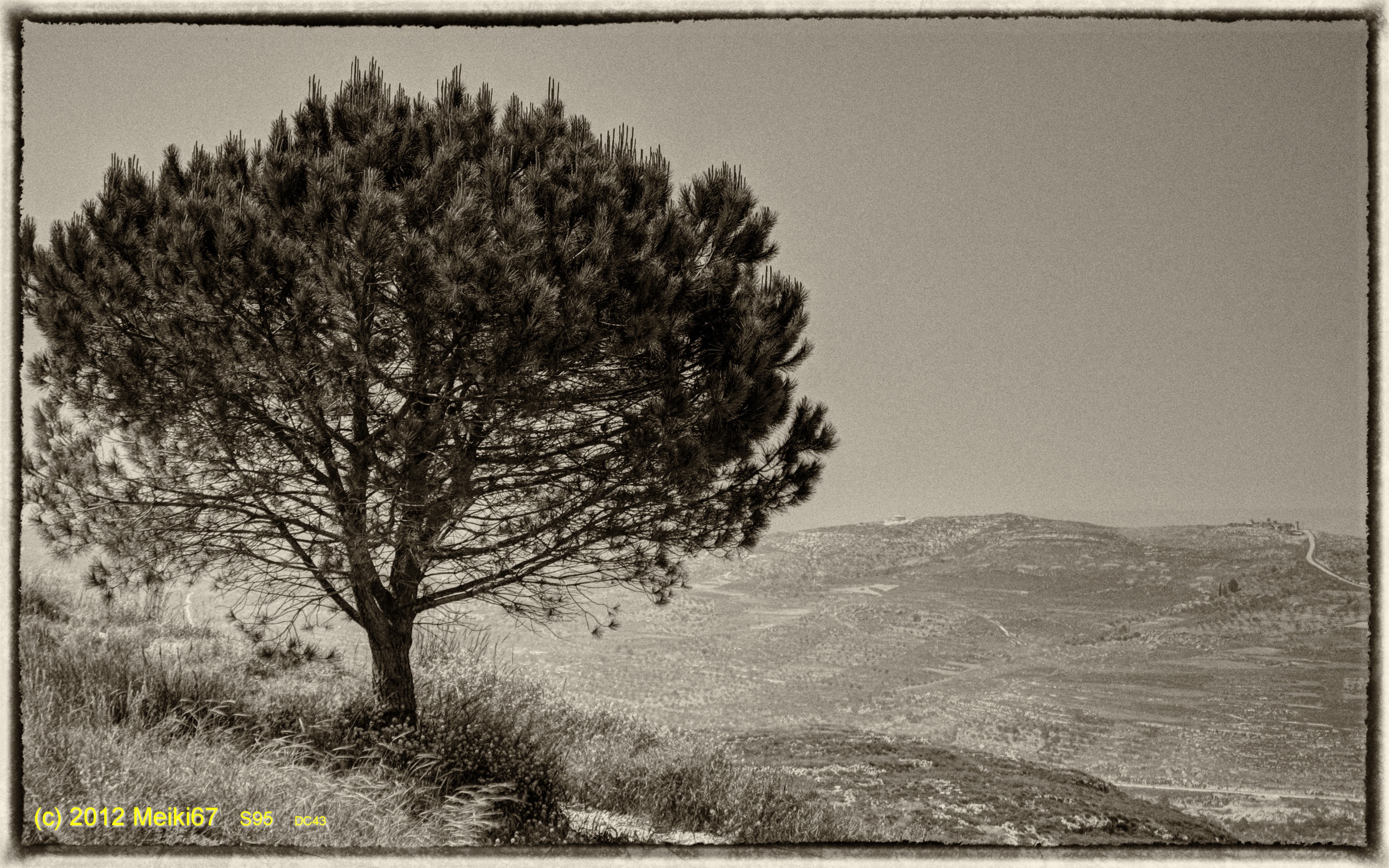
Lonely Tree in Yizhar II ●S95●

Ramallah - Nablus Biking round trip 121 km

Palestine Feb-10.jpg

130704 Nablus

Shechem / Tell Balata Canaanite Ruins

Israel 2011

Nablus, Westbank, Israel

Israel 2011
DSC_3061-7

Jerusalem, July 2013

Looking down on ancient Shechem where lies Jacobs Well and Joseph's Tomb.

Nablus sarra

Samaritan Mount Gerizim
Nablus sarra

Samaritan Mount Gerizim
Topographic Map of Immanuel
Find elevation by address:

Places near Immanuel:
Yakir
Revava
At Tall
Alei Zahav
Elkana
Sha'arei Tikva
Pedu'el
Beit Aryeh-ofarim
Halamish
Rantis
Petach Tikva
Shoham
Petah Tikva
Altalef Street
Yehud-monosson
40, Ben-Gurion Airport, Israel
Beilinson
Yehud
Herzliya
Harimon St 45
Recent Searches:
- Elevation of 7 Waterfall Way, Tomball, TX, USA
- Elevation of SW 57th Ave, Portland, OR, USA
- Elevation of Crocker Dr, Vacaville, CA, USA
- Elevation of Pu Ngaol Community Meeting Hall, HWHM+3X7, Krong Saen Monourom, Cambodia
- Elevation of Royal Ontario Museum, Queens Park, Toronto, ON M5S 2C6, Canada
- Elevation of Groblershoop, South Africa
- Elevation of Power Generation Enterprises | Industrial Diesel Generators, Oak Ave, Canyon Country, CA, USA
- Elevation of Chesaw Rd, Oroville, WA, USA
- Elevation of N, Mt Pleasant, UT, USA
- Elevation of 6 Rue Jules Ferry, Beausoleil, France