Elevation of Reum Rd, Callicoon, NY, USA
Location: United States > New York > Sullivan County > Delaware > Callicoon >
Longitude: -74.982283
Latitude: 41.758029
Elevation: 385m / 1263feet
Barometric Pressure: 97KPa
Elevation Map:
Satellite Map:
Related Photos:
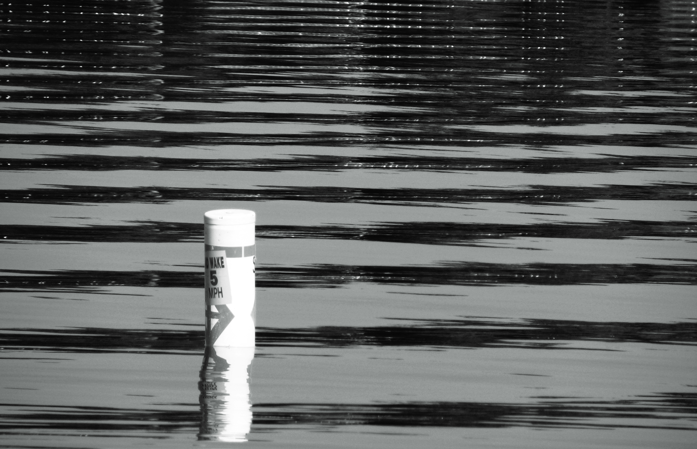
5mph Wake

Evening At Stone Arch Bridge Park
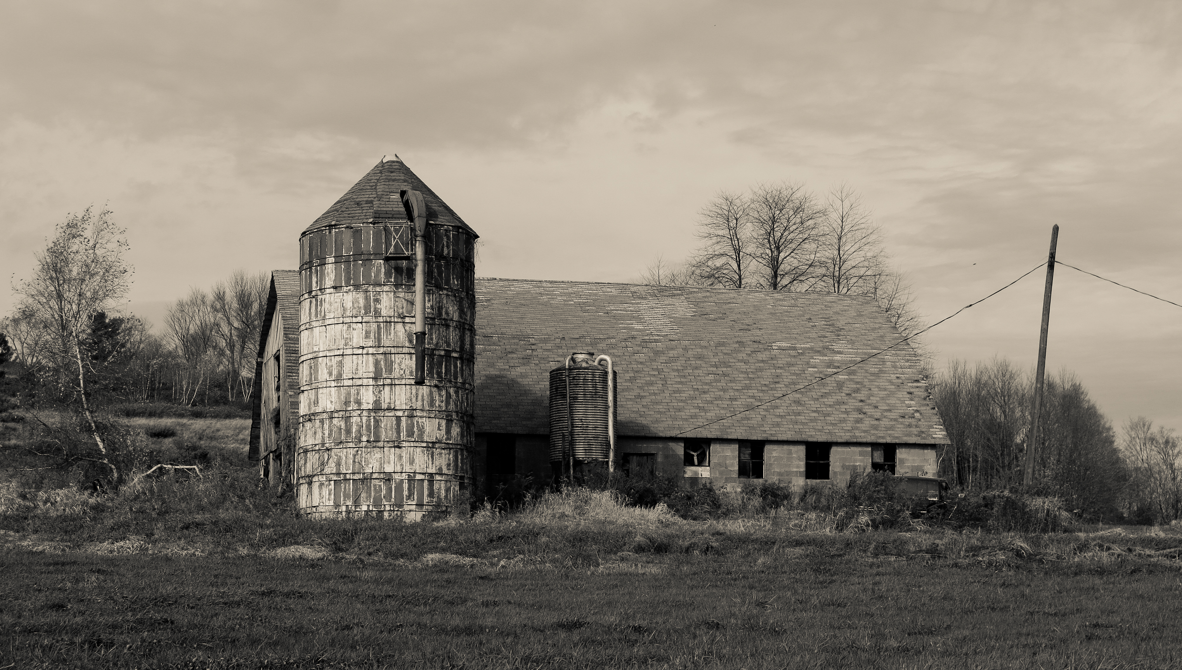
Silo And Barn
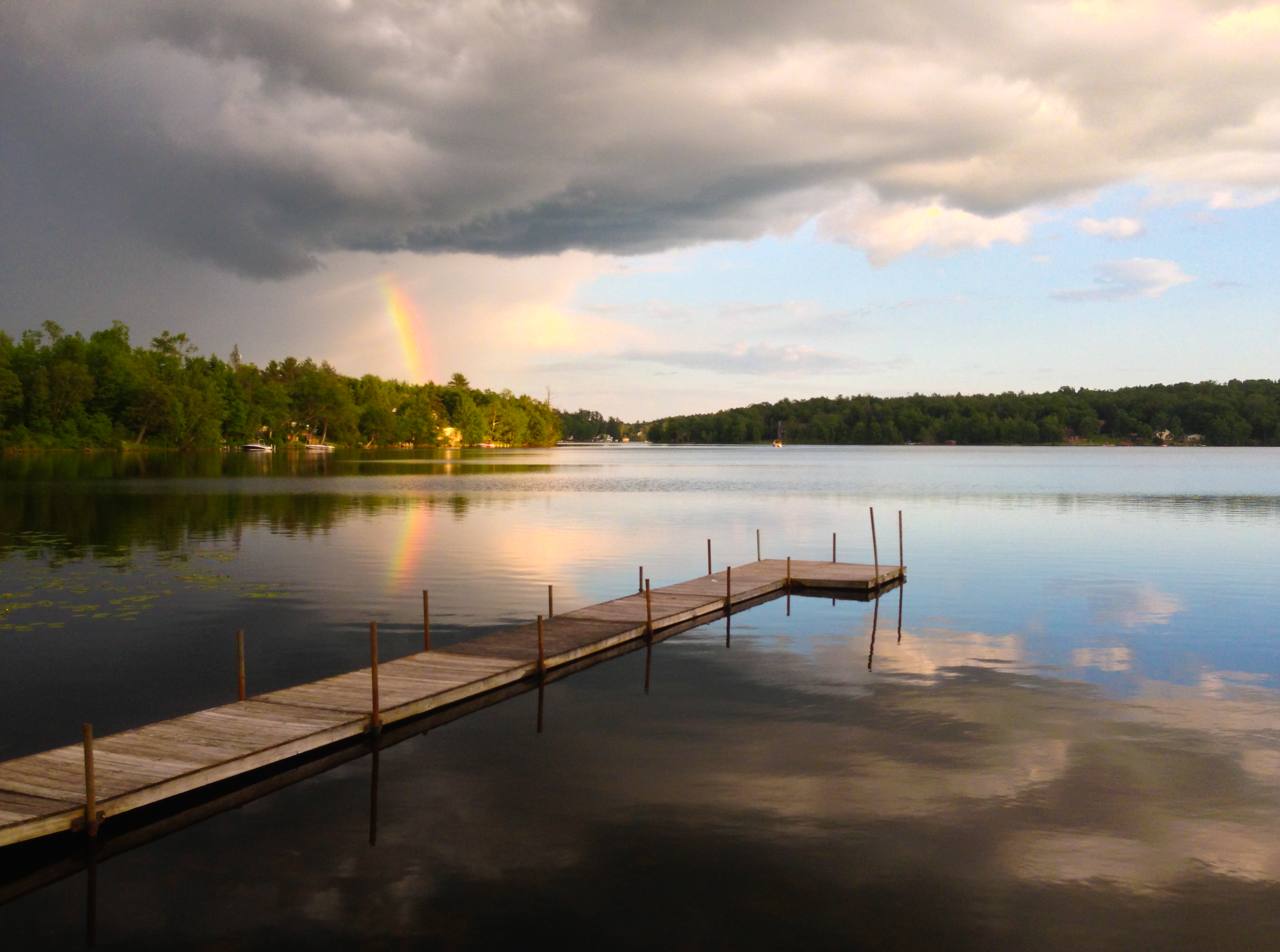
Partial Rainbow Over Kauneonga Lake
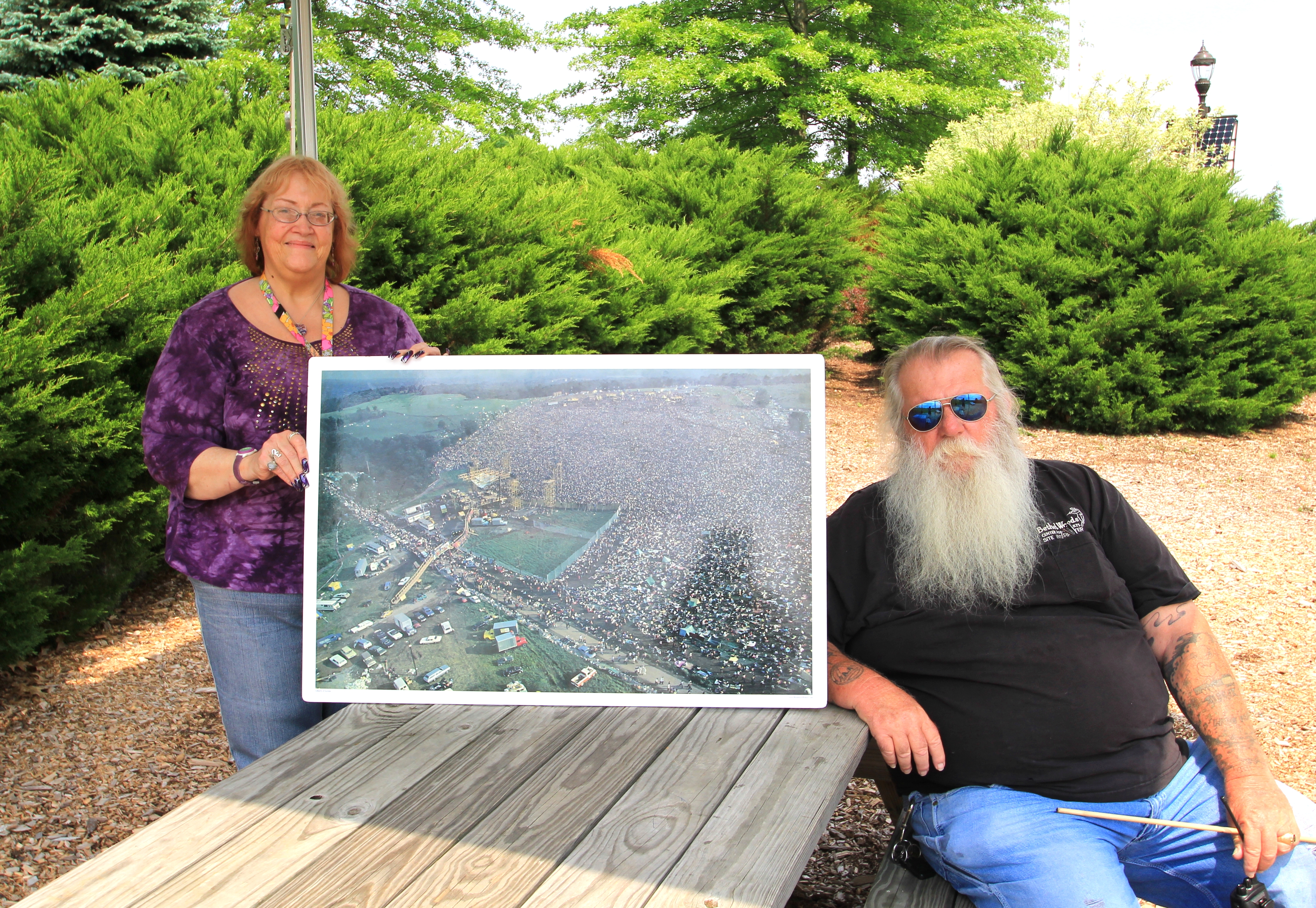
Representatives For Woodstock
Lake Kabau Dam

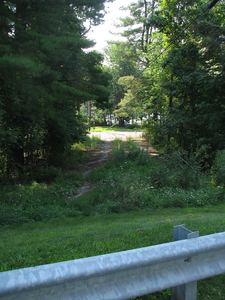
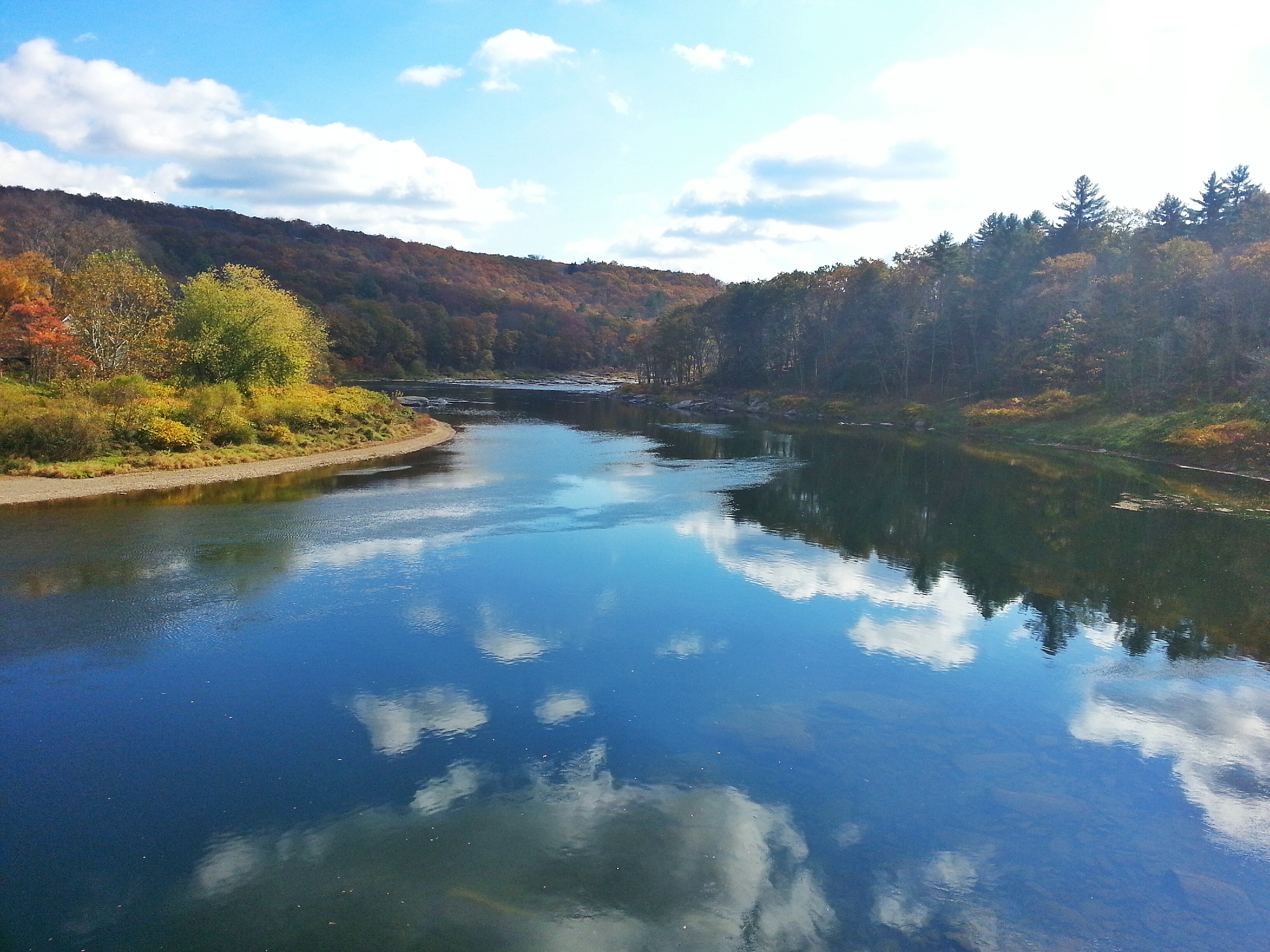
View from the bridge
View from the Stone Arch Bridge
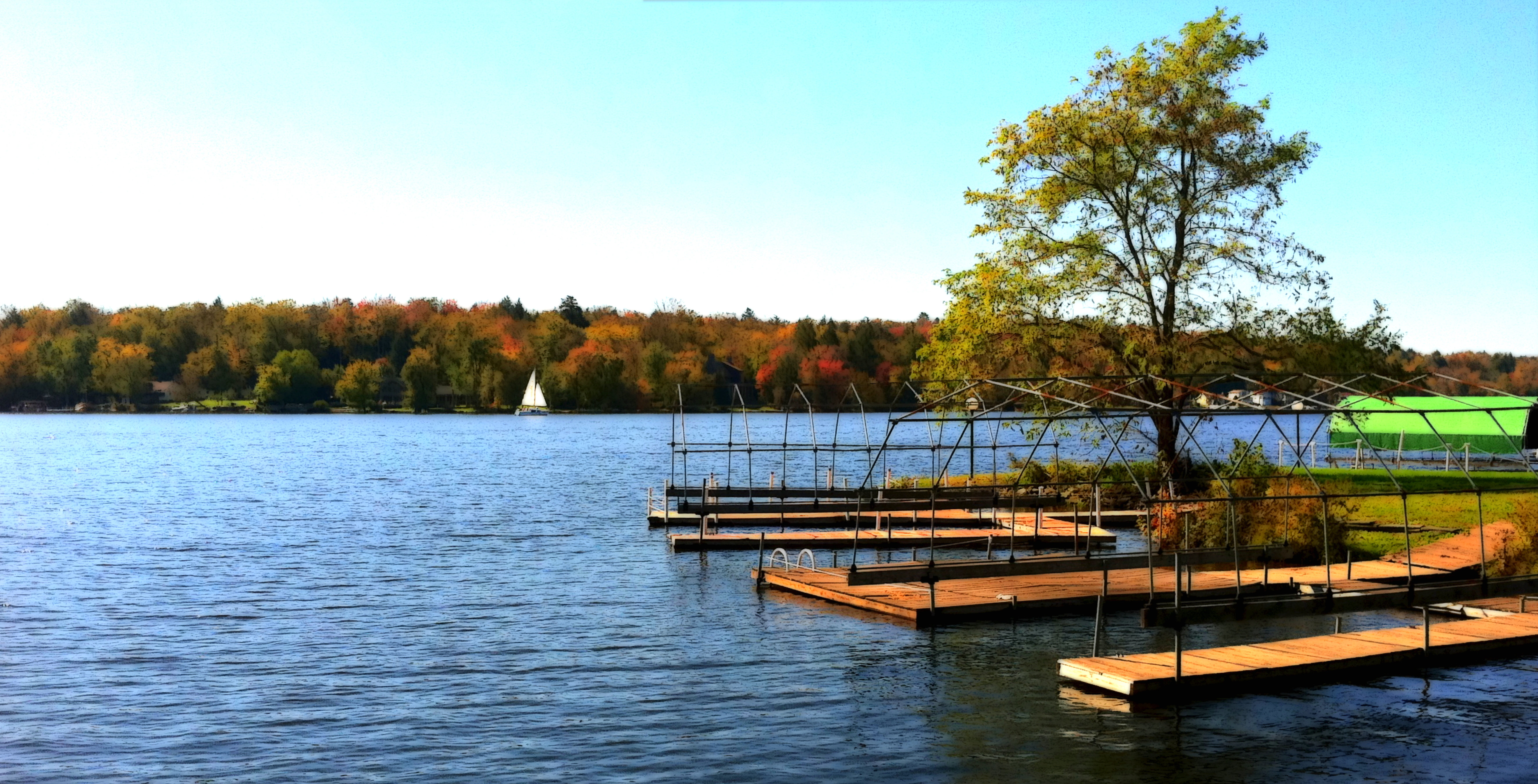
Kauneonga Lake Docks on a Fall Day

Pull Up A Step And Have A Coke

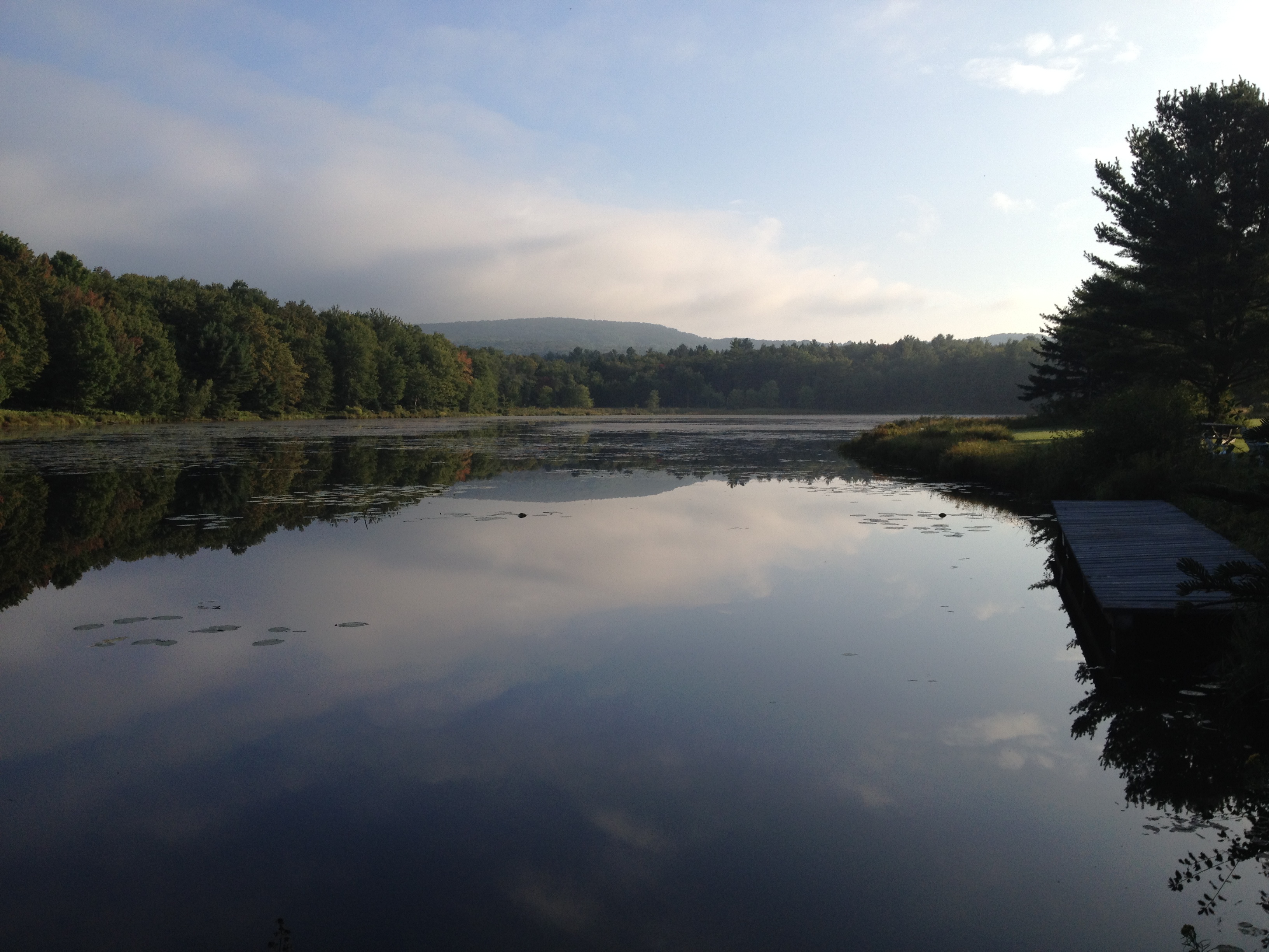
Pretty Morning View

View from the Stone Arch Bridge
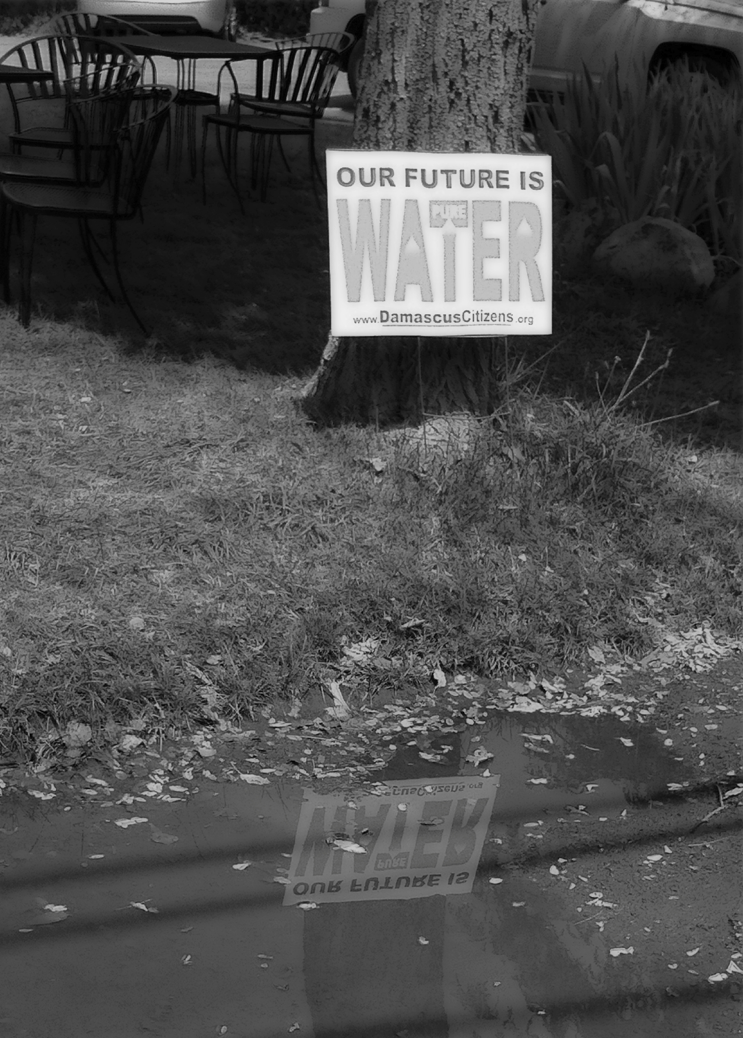
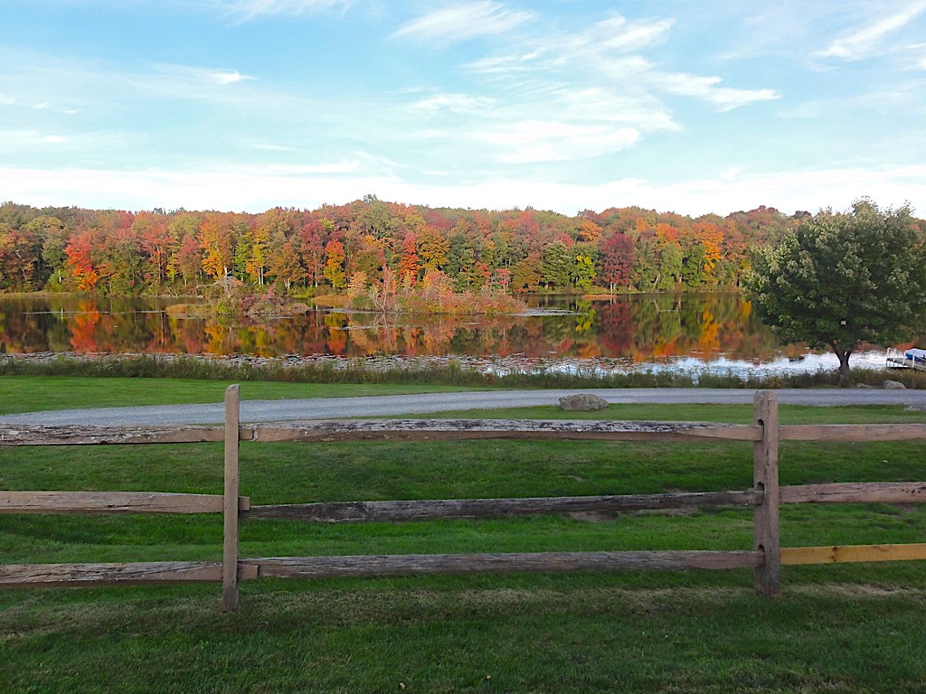
A Reflection Of Our Future Water
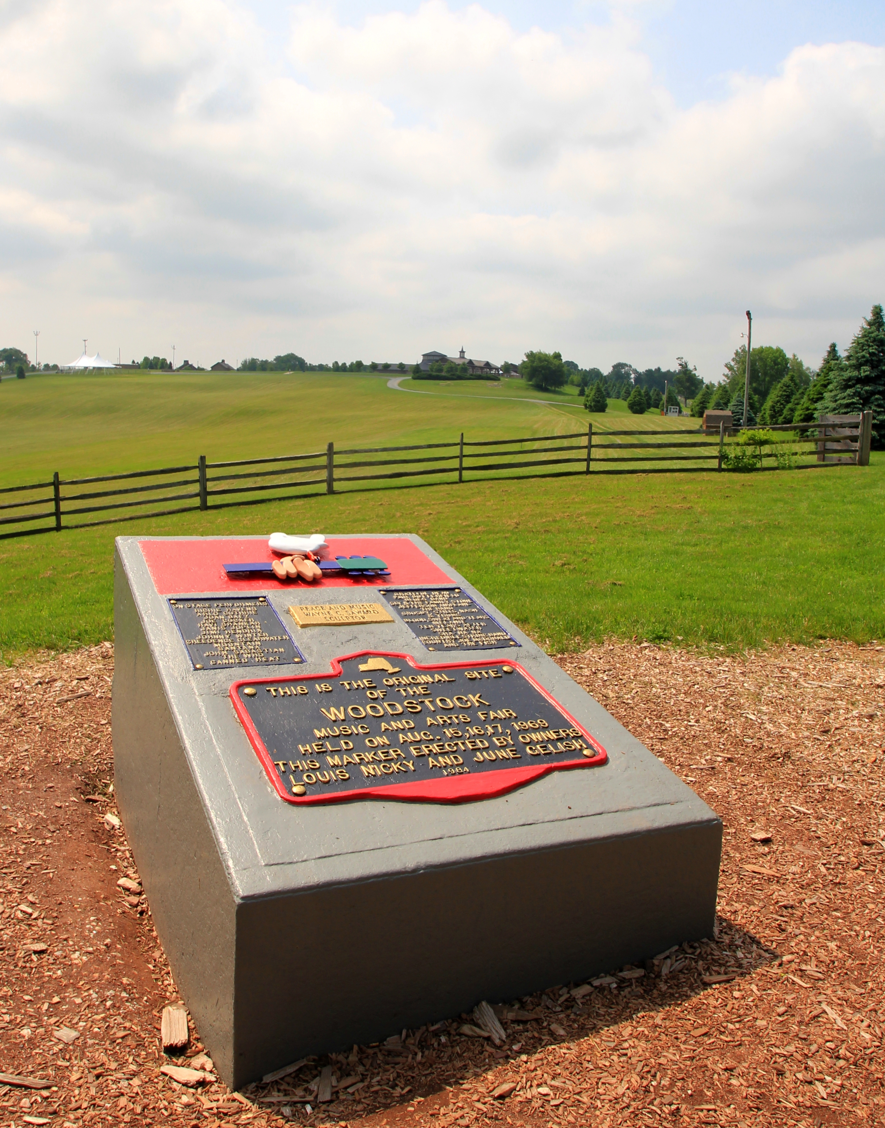
Woodstock Then And Now
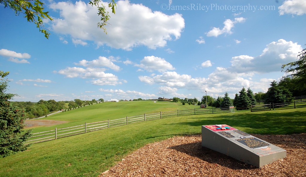
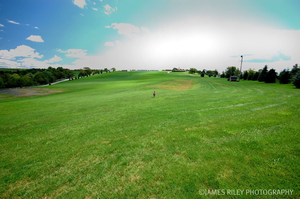
Woodstock Vista

Fishing From Atlantis
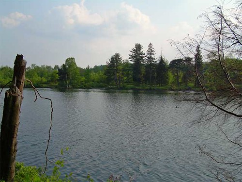
Lake view

Pretty Evening View
Narrowsburg Nights
Former entrance to Green Acres

Pretty Evening View
Laundry Brook

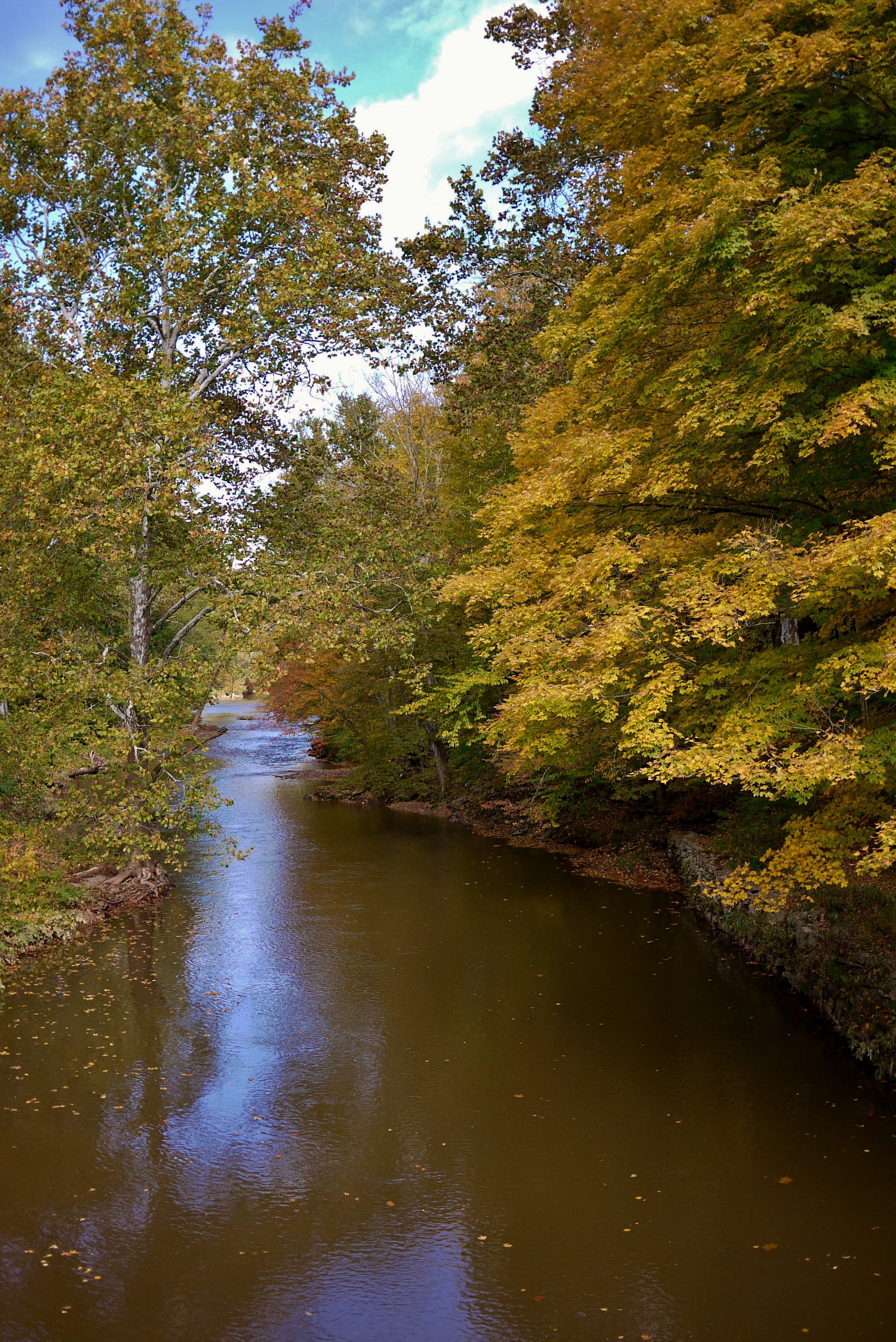
Up the river

Docked On Kauneonga Lake

River 2

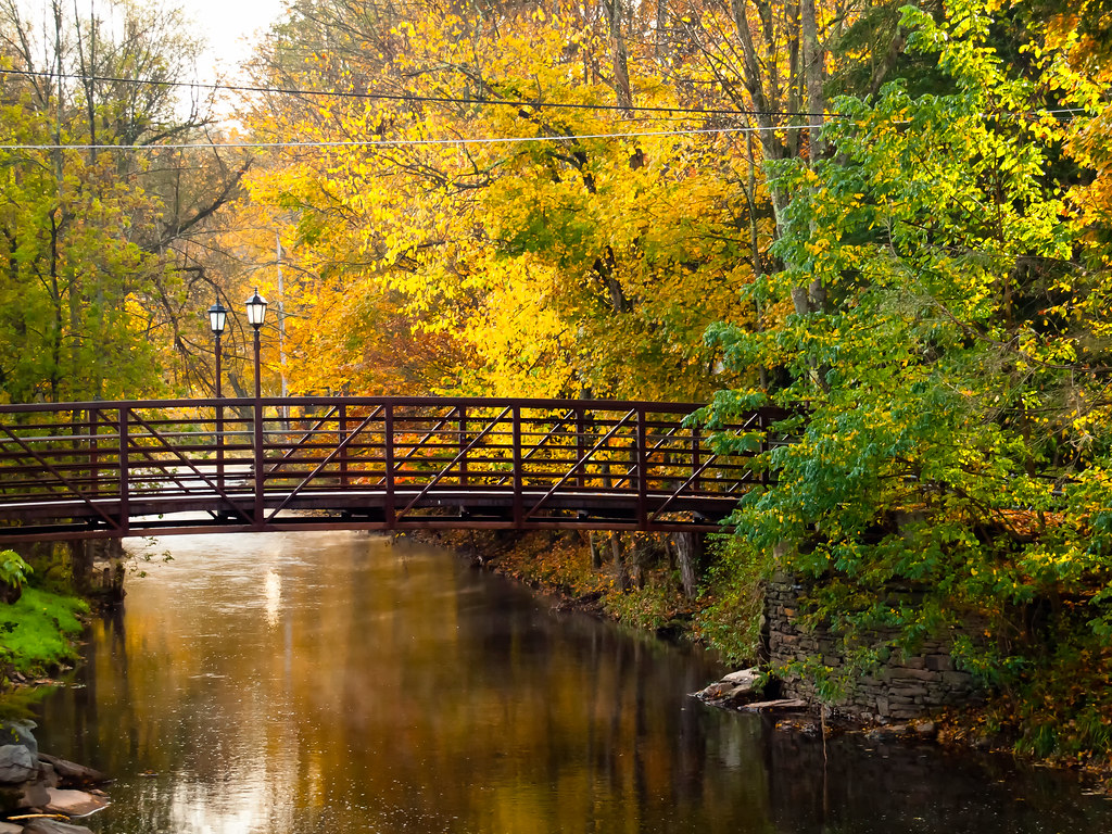
The Old Stone Arch Bridge

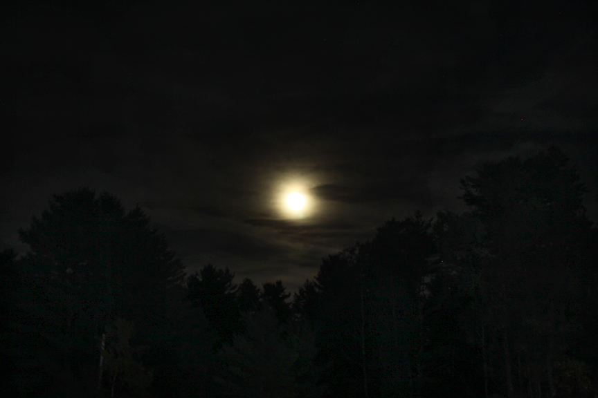
Losing Daylight Over White Lake
Liberty NY lake marie
Autumn Pond
Lake Superior boat launch, Bethel, NY
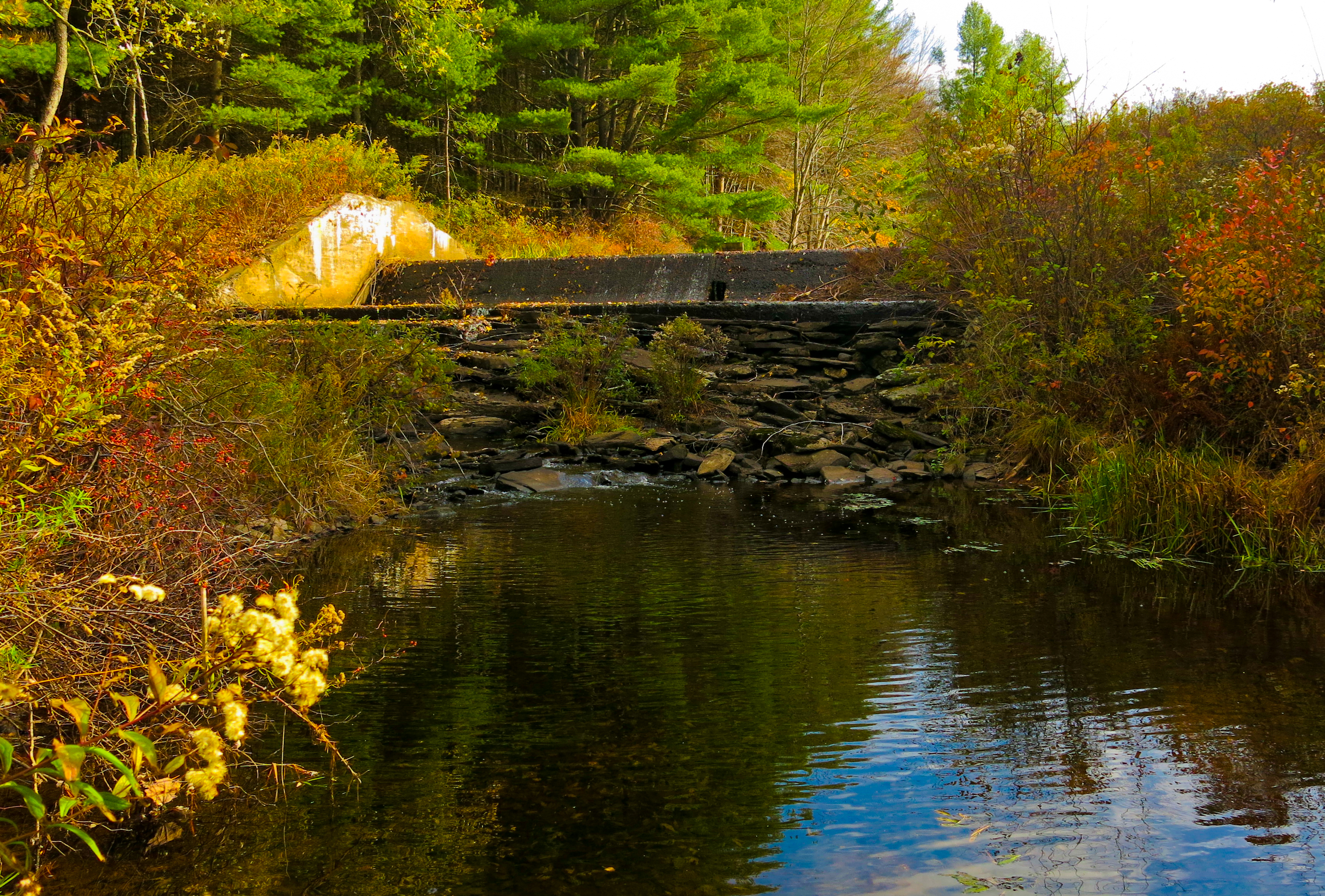
Stone Arch Bridge
Ann, Annabella, and Chucho
1969 Woodstock Totem Pole TP
Woodstock Bowl
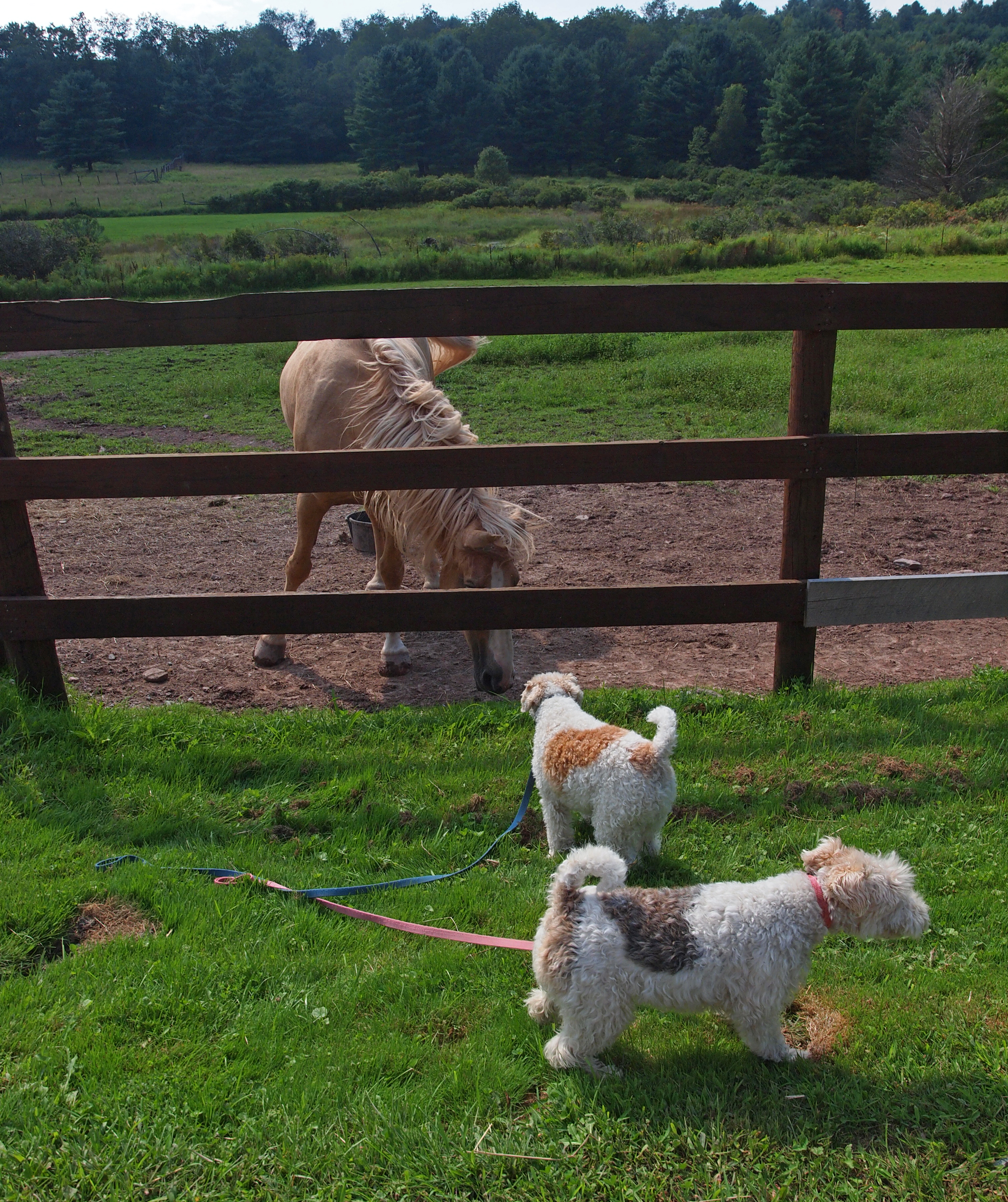
Meeting a horse

Bethel, Woodstock NY
No Music - No Crowd - No Rain
_MG_0123_HDR.jpg
Deleware River from Skinners Falls Bridge
Topographic Map of Reum Rd, Callicoon, NY, USA
Find elevation by address:

Places near Reum Rd, Callicoon, NY, USA:
Villa Vista Drive
Villa Vista Drive
Bldg 13
Delaware
Kenoza Lake, NY, USA
Robisch Hill Road
202 Jeffersonville North Branch Rd
6134 Ny-52
Hortonville
72 Hortonville Main St, Callicoon, NY, USA
442 New Turnpike Rd
541 Jeffersonville North Branch Rd
North Branch
NY-52, Cochecton, NY, USA
395 New Turnpike Rd
395 New Turnpike Rd
6 Mill St
Jeffersonville
867 Swiss Hill Rd N
Cochecton
Recent Searches:
- Elevation of Corso Fratelli Cairoli, 35, Macerata MC, Italy
- Elevation of Tallevast Rd, Sarasota, FL, USA
- Elevation of 4th St E, Sonoma, CA, USA
- Elevation of Black Hollow Rd, Pennsdale, PA, USA
- Elevation of Oakland Ave, Williamsport, PA, USA
- Elevation of Pedrógão Grande, Portugal
- Elevation of Klee Dr, Martinsburg, WV, USA
- Elevation of Via Roma, Pieranica CR, Italy
- Elevation of Tavkvetili Mountain, Georgia
- Elevation of Hartfords Bluff Cir, Mt Pleasant, SC, USA