Elevation of Rensselaer, MO, USA
Location: United States > Missouri > Ralls County > Clay Township >
Longitude: -91.544599
Latitude: 39.6705995
Elevation: 214m / 702feet
Barometric Pressure: 99KPa
Elevation Map:
Satellite Map:
Related Photos:

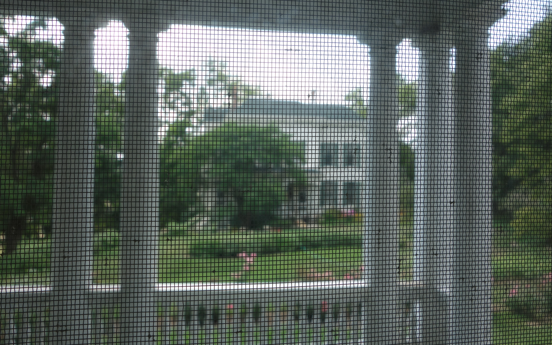
View from my porch.
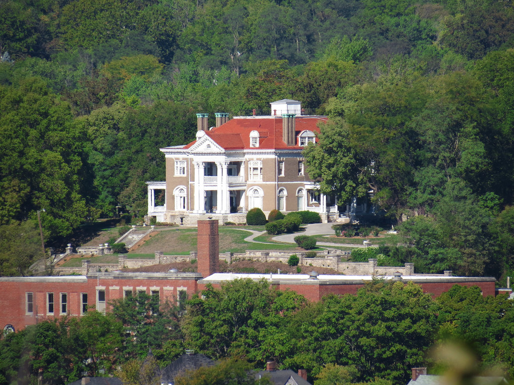
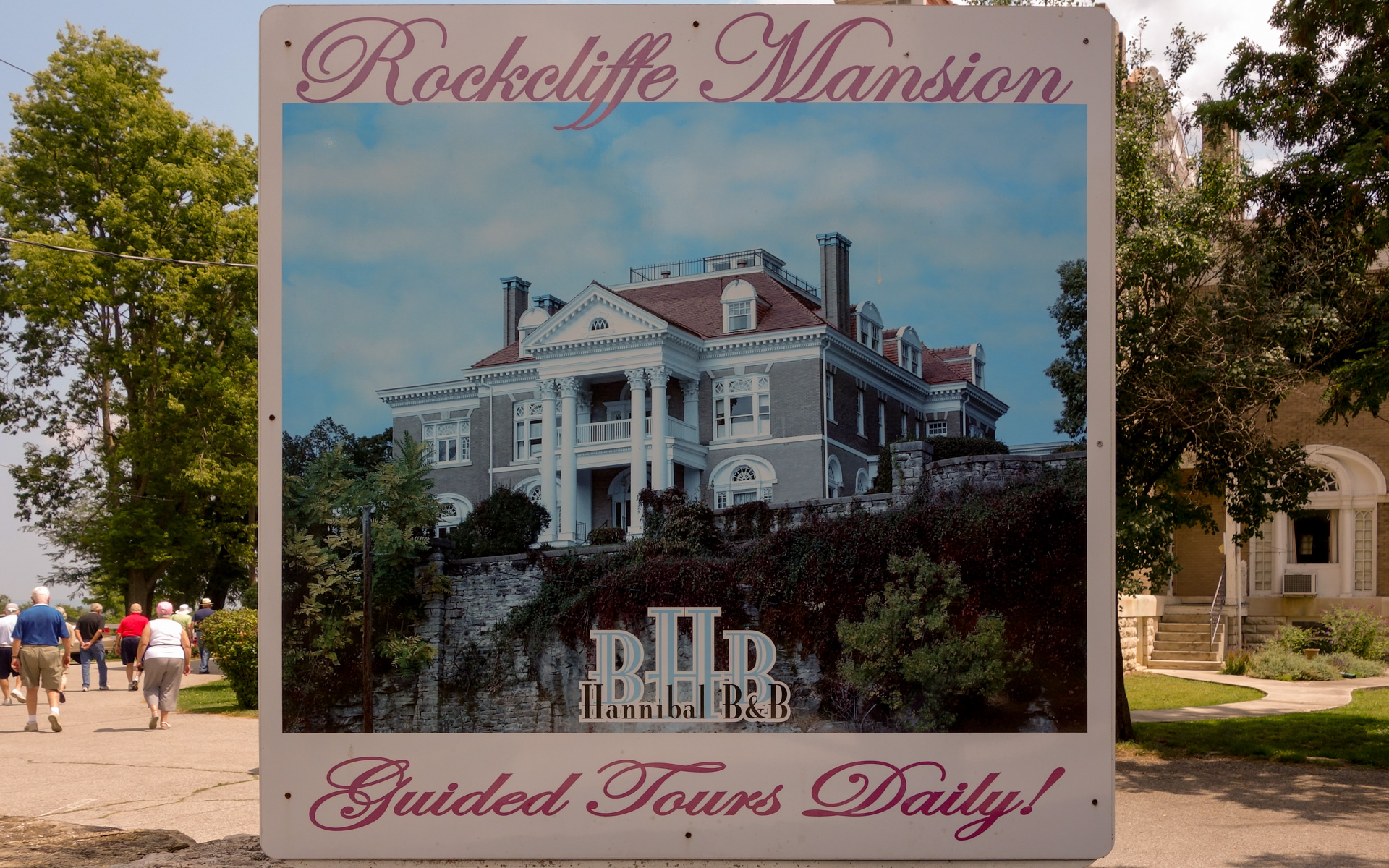
Rockcliffe Mansion
The Mansion viewed from Bird Street
Sunroom view of House that was Moved

Bradford L Graham
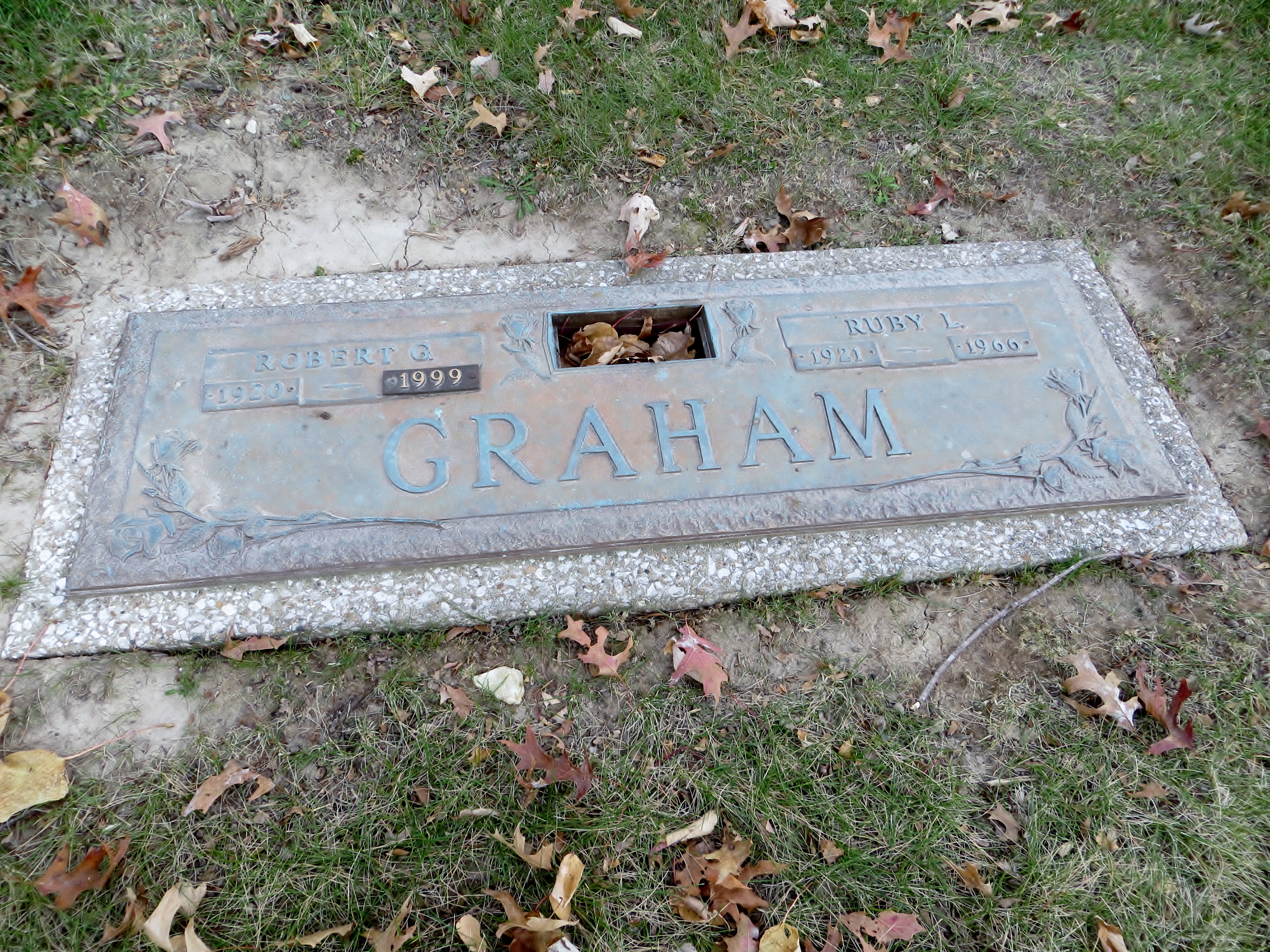
Robert G Graham
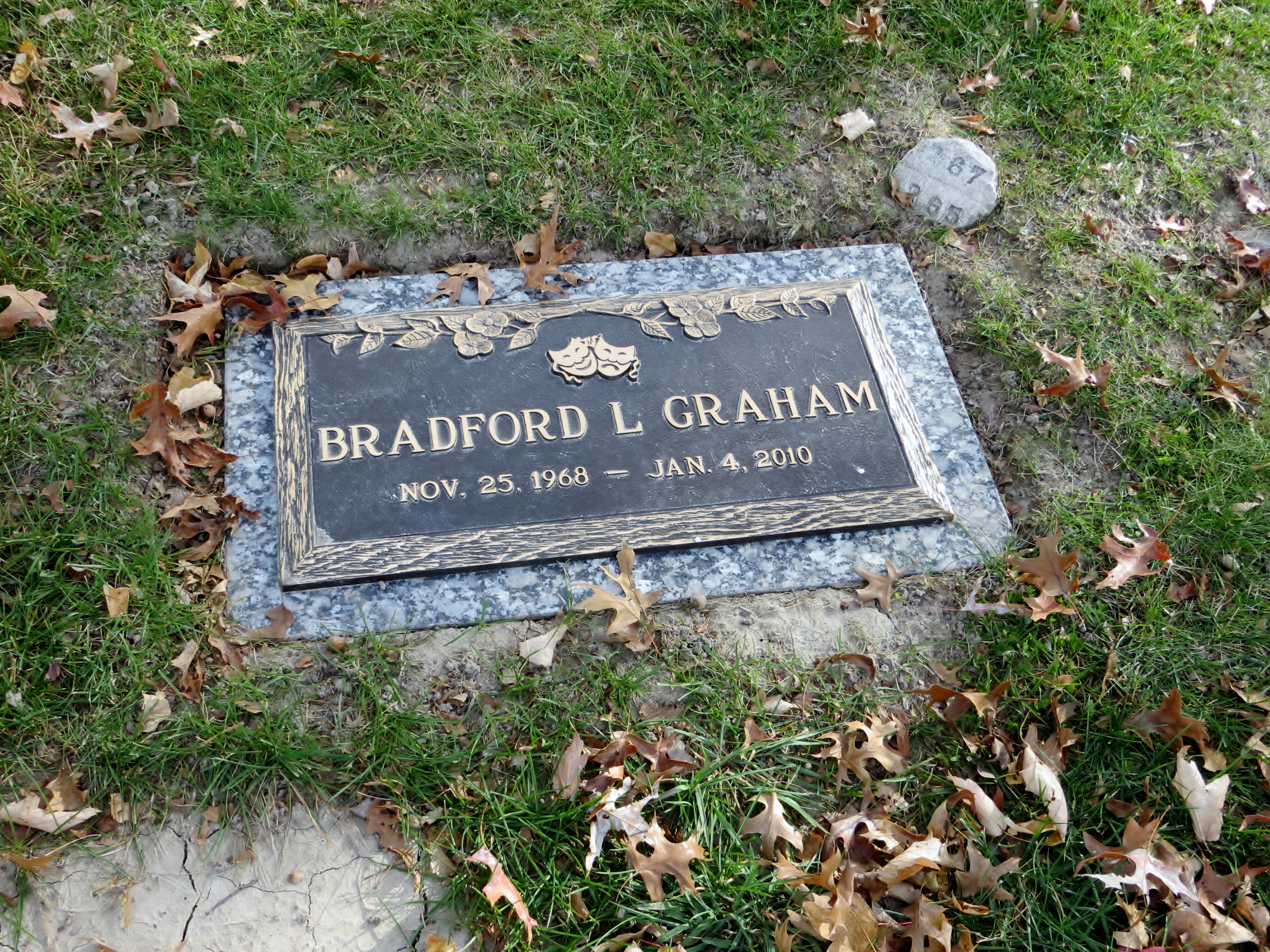
Bradford L Graham
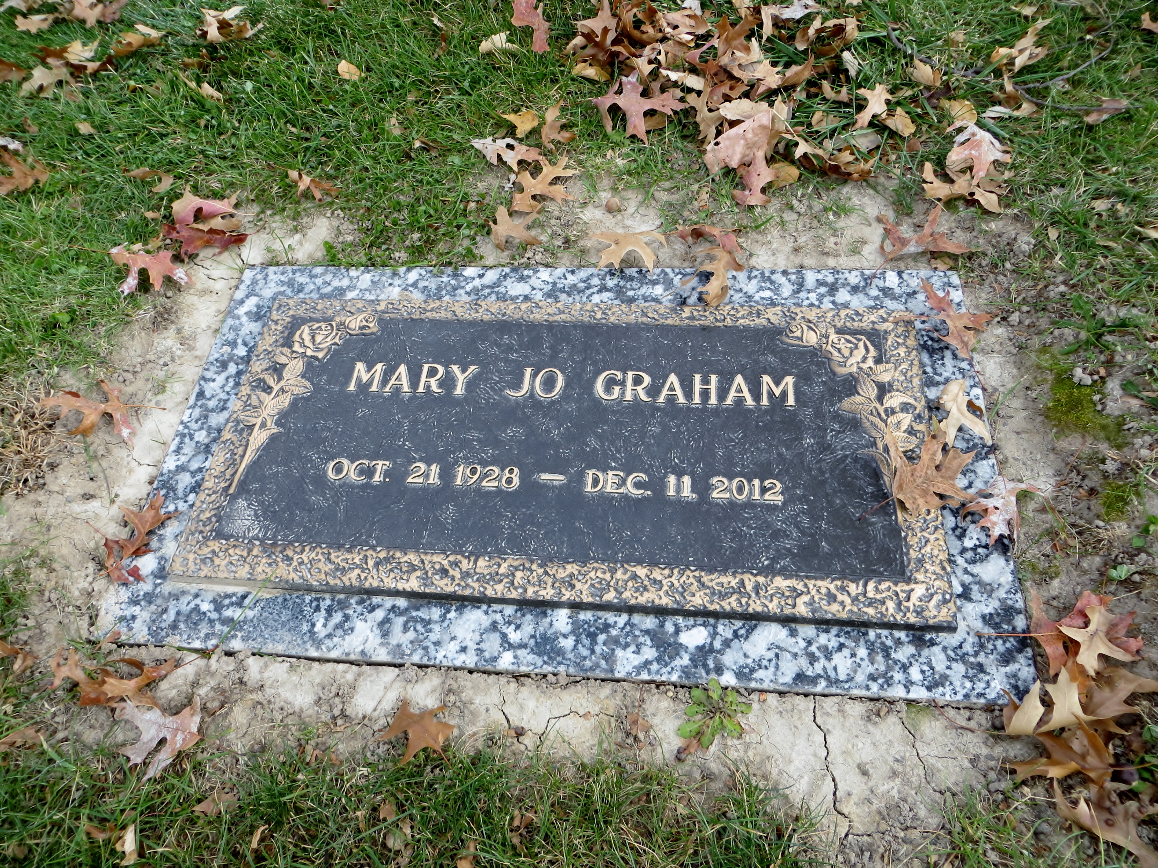
Mary Jo Graham
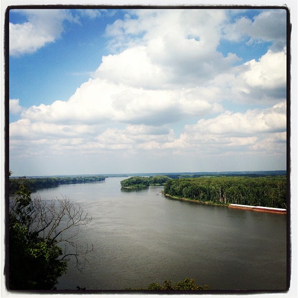
The Mississippi River! #explore #wild #whereintheworldisdean #rivers #ruralamerica #travel #photography #picoftheday #amazing #small_towns #america #adventure #allshots_ #fun #followme #hope #history #hannibal #canoe #cool #instacool #beauty #mississippir

In the Woods
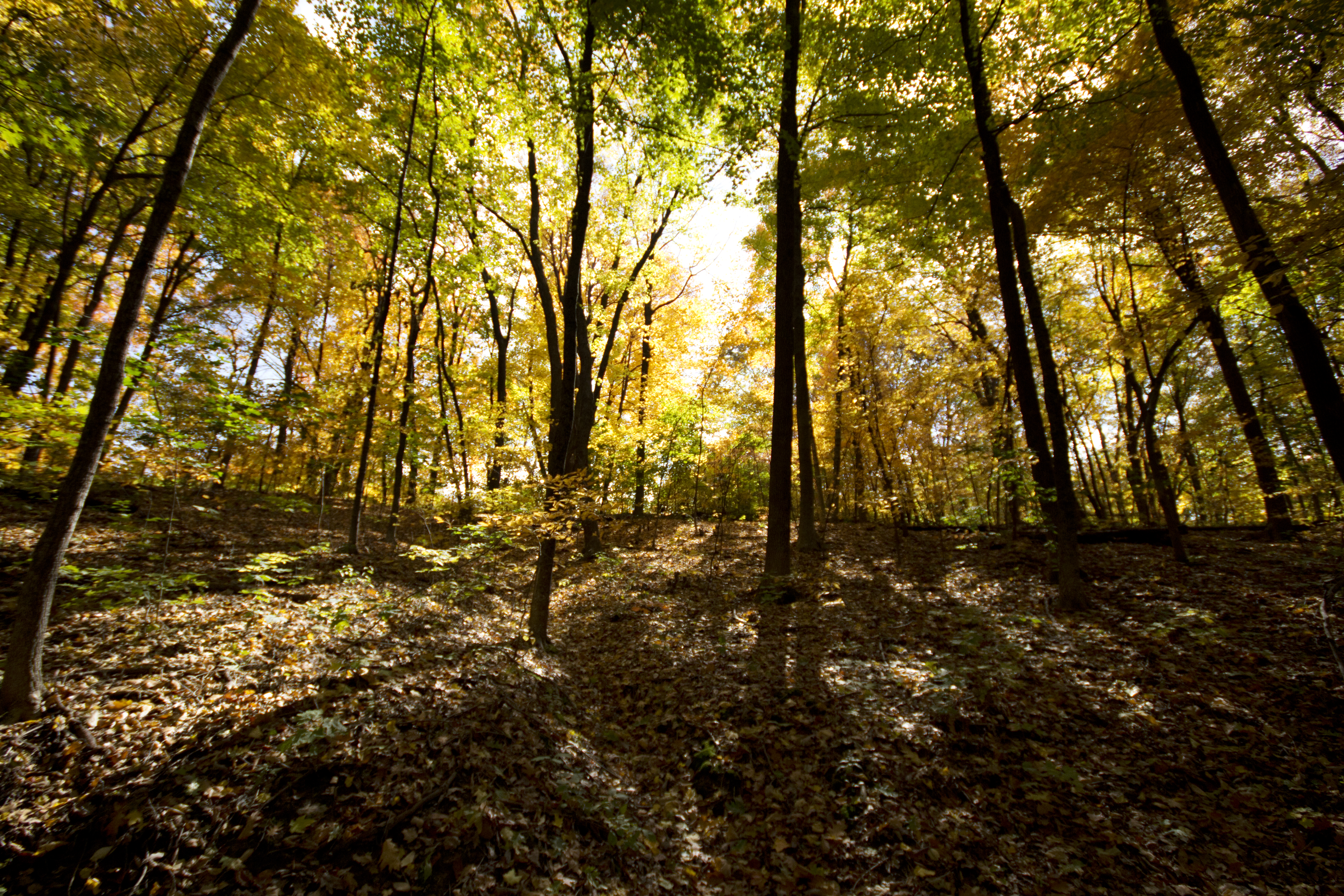
Light Through the Trees

Hannibal MO

Hannibal MO

20110401.NewLeaves1.HannibalMO
Winter Landscape
You'll come down, like you always did
20110209.WintersLace.HannibalMO
Weekend getaway to Hannibal, MO - August 2015
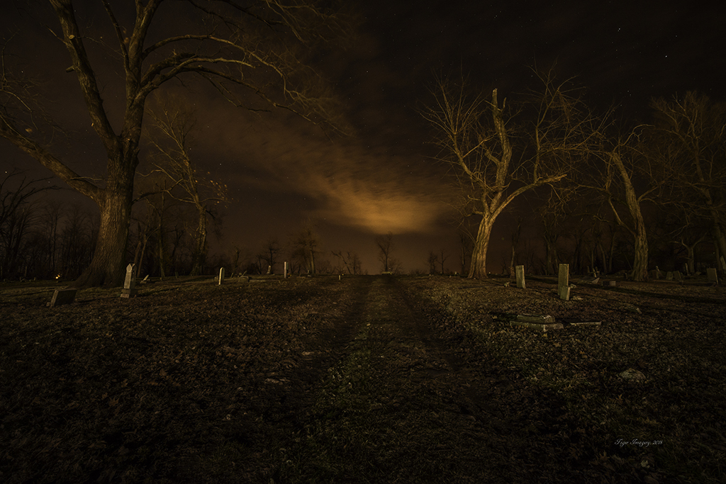
Old Baptist Cemetery

Man and Nature
Topographic Map of Rensselaer, MO, USA
Find elevation by address:

Places in Rensselaer, MO, USA:
Places near Rensselaer, MO, USA:
49384 Lake Shore Dr
State Hwy H, Hannibal, MO, USA
51741 Big Creek Ln
51741 Big Creek Ln
Clay Township
Hannibal Regional Hospital
Mt Zion Rd, Hannibal, MO, USA
Miller Township
Missouri J, Monroe City, MO, USA
Mt Zion Rd, Hannibal, MO, USA
W Ross St, Palmyra, MO, USA
Ralls County
Hannibal, MO, USA
Palmyra
State Hwy C, Palmyra, MO, USA
Liberty Township
Landing Ln, Monroe City, MO, USA
MO-, Palmyra, MO, USA
Monroe City
N Main St, Monroe City, MO, USA
Recent Searches:
- Elevation of Co Rd 87, Jamestown, CO, USA
- Elevation of Tenjo, Cundinamarca, Colombia
- Elevation of Côte-des-Neiges, Montreal, QC H4A 3J6, Canada
- Elevation of Bobcat Dr, Helena, MT, USA
- Elevation of Zu den Ihlowbergen, Althüttendorf, Germany
- Elevation of Badaber, Peshawar, Khyber Pakhtunkhwa, Pakistan
- Elevation of SE Heron Loop, Lincoln City, OR, USA
- Elevation of Slanický ostrov, 01 Námestovo, Slovakia
- Elevation of Spaceport America, Co Rd A, Truth or Consequences, NM, USA
- Elevation of Warwick, RI, USA