Elevation of Clay Township, MO, USA
Location: United States > Missouri > Ralls County >
Longitude: -91.462804
Latitude: 39.6632809
Elevation: 207m / 679feet
Barometric Pressure: 99KPa
Elevation Map:
Satellite Map:
Related Photos:
Lover's Leap

View from my porch.
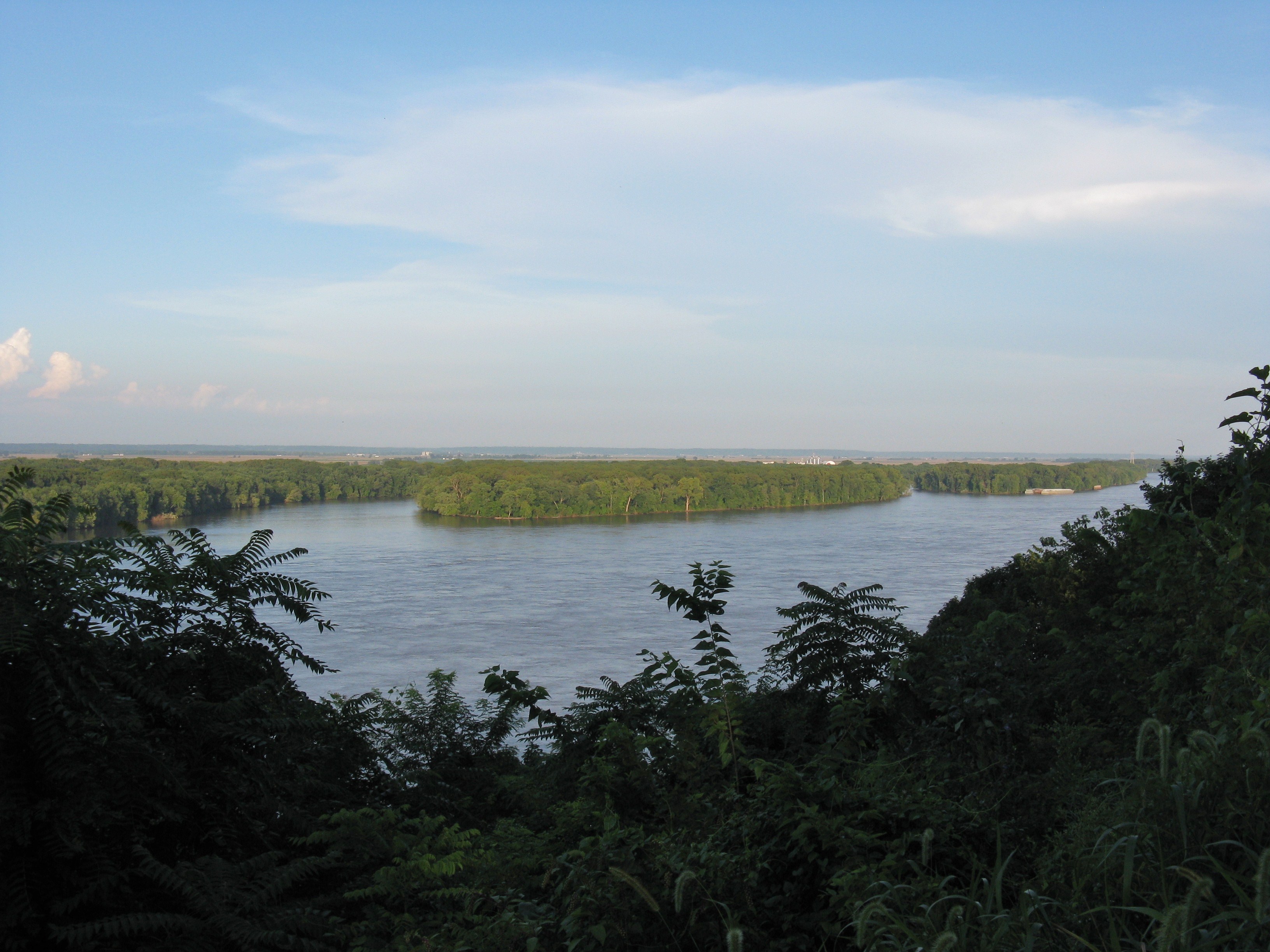
Mississippi River at Hannibal
Mississippi Vista

Lighthouse Overlooking Hannibal

Hannibal Detail
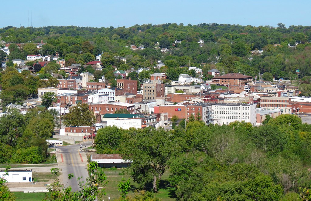
Hannibal MO
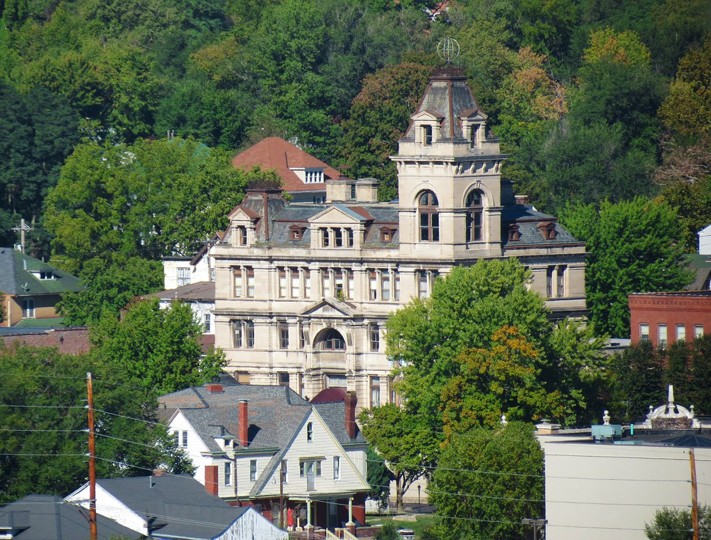
Hannibal Federal Building
Lover's Leap Pano
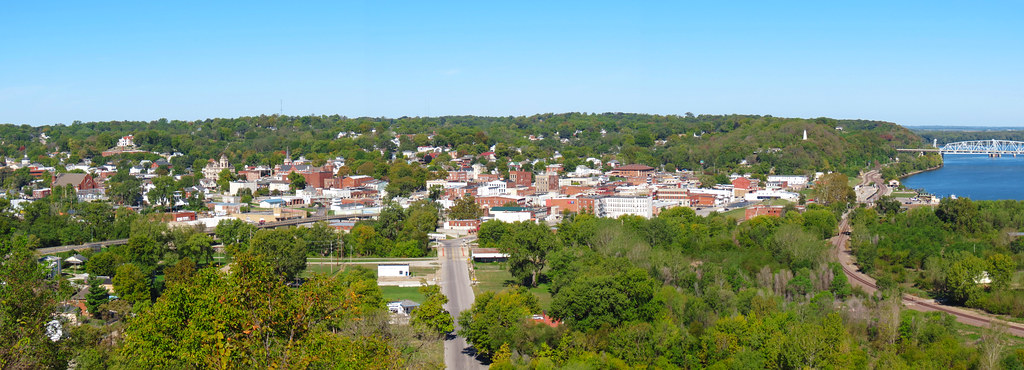
Bird's Eye View of Downtown Hannibal
Jackson Island
Rockcliffe Mansion
View of Hannibal MO from Lovers' Leap
Cardiff Hill View
View of Hannibal MO from Lovers' Leap
View of Hannibal MO from Lovers' Leap
View of Hannibal MO from Lovers' Leap
River Boat
View From the Nursery

The Mansion viewed from Bird Street
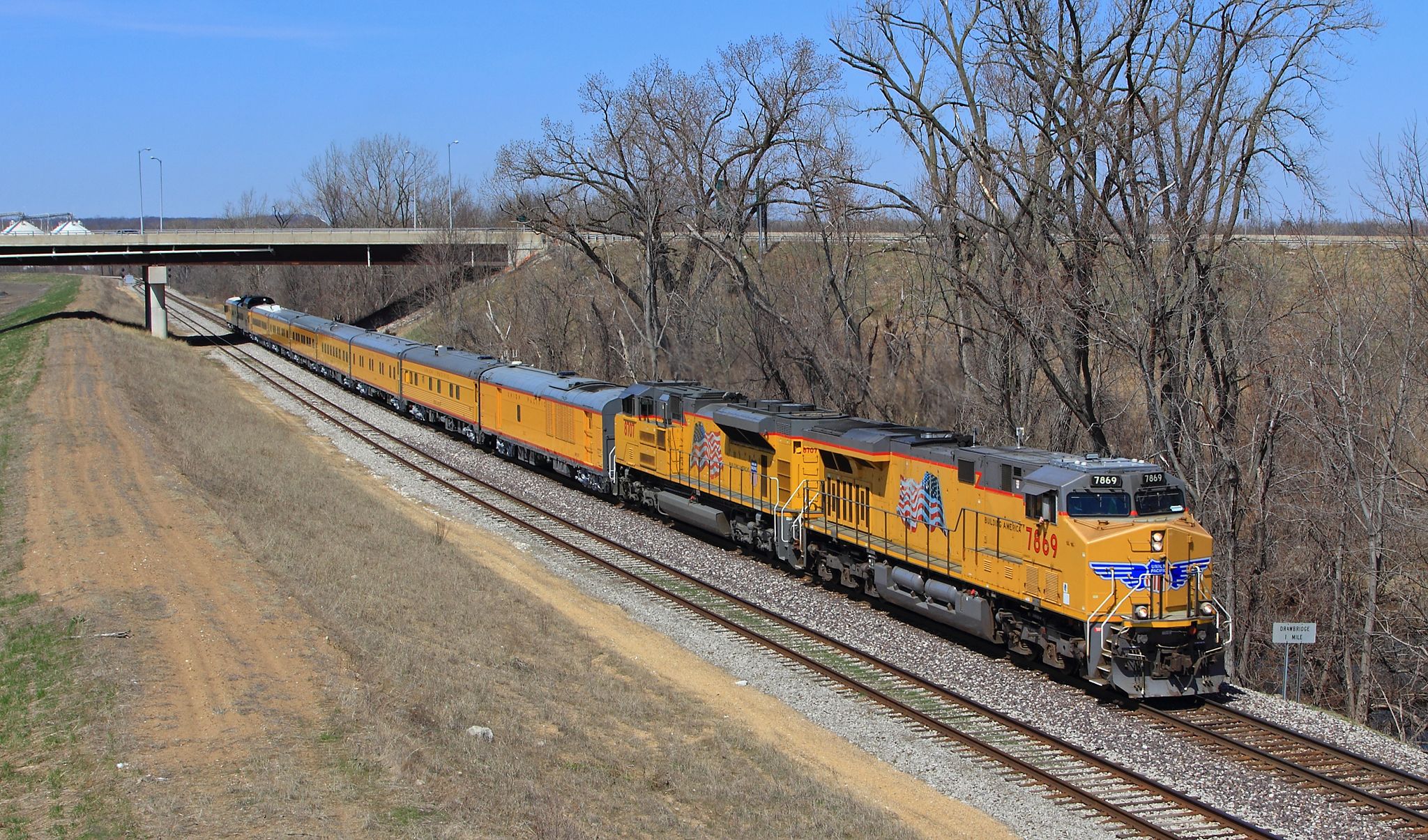
UP Inspection Train at East Hannibal - Pt. 2
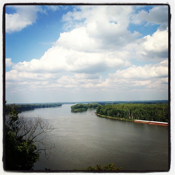
The Mississippi River! #explore #wild #whereintheworldisdean #rivers #ruralamerica #travel #photography #picoftheday #amazing #small_towns #america #adventure #allshots_ #fun #followme #hope #history #hannibal #canoe #cool #instacool #beauty #mississippir

In the Woods

Camera Roll-683
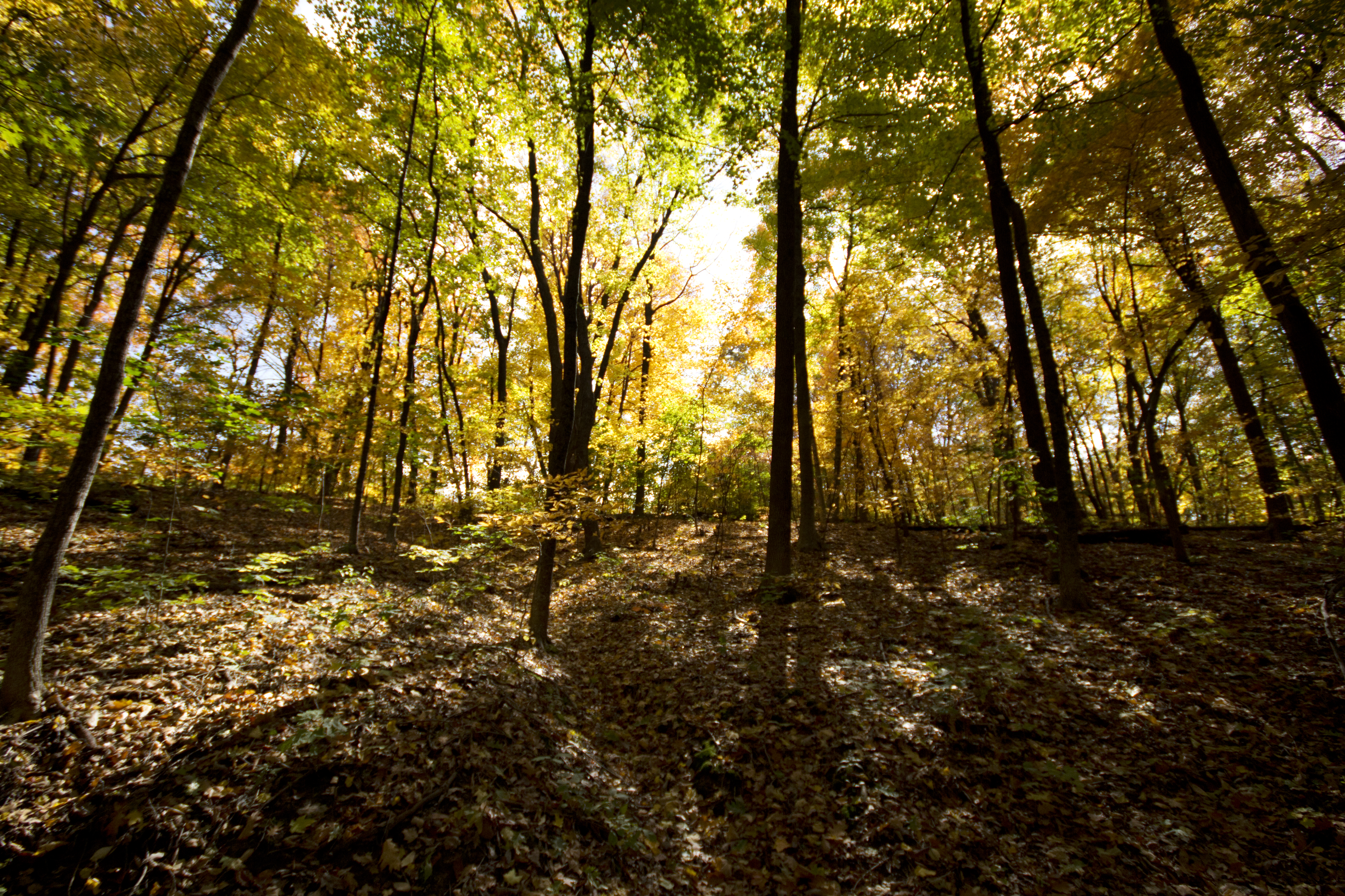
Light Through the Trees

Excursion Boat "Mark Twain", Hannibal MO

Hannibal MO

Hannibal MO
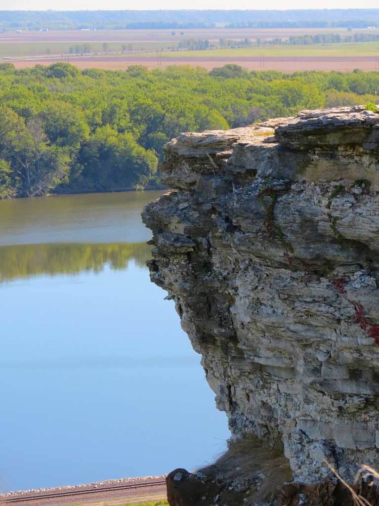
Lover's Leap
Lover's Leap 2012
Hannibal MO
Hannibal MO
Hannibal MO

Flowing Movement
Hannibal on the River

20110401.NewLeaves1.HannibalMO
Wabash Bridge, Hannibal, Marion County (Mo.), 15 May 1982
Lover's Leap
Winter Landscape
Topographic Map of Clay Township, MO, USA
Find elevation by address:

Places in Clay Township, MO, USA:
Places near Clay Township, MO, USA:
51741 Big Creek Ln
51741 Big Creek Ln
Hannibal Regional Hospital
Hannibal, MO, USA
Mt Zion Rd, Hannibal, MO, USA
State Hwy H, Hannibal, MO, USA
49384 Lake Shore Dr
Mt Zion Rd, Hannibal, MO, USA
Rensselaer
Miller Township
MO-, Palmyra, MO, USA
Liberty Township
Palmyra
W Ross St, Palmyra, MO, USA
Ralls County
Co Rd, Palmyra, MO, USA
State Hwy C, Palmyra, MO, USA
Missouri J, Monroe City, MO, USA
Ward Island Rd, Quincy, IL, USA
Landing Ln, Monroe City, MO, USA
Recent Searches:
- Elevation of Shibuya Scramble Crossing, 21 Udagawacho, Shibuya City, Tokyo -, Japan
- Elevation of Jadagoniai, Kaunas District Municipality, Lithuania
- Elevation of Pagonija rock, Kranto 7-oji g. 8"N, Kaunas, Lithuania
- Elevation of Co Rd 87, Jamestown, CO, USA
- Elevation of Tenjo, Cundinamarca, Colombia
- Elevation of Côte-des-Neiges, Montreal, QC H4A 3J6, Canada
- Elevation of Bobcat Dr, Helena, MT, USA
- Elevation of Zu den Ihlowbergen, Althüttendorf, Germany
- Elevation of Badaber, Peshawar, Khyber Pakhtunkhwa, Pakistan
- Elevation of SE Heron Loop, Lincoln City, OR, USA