Elevation of Regidina, Ethiopia
Location: Ethiopia > Southern Nations, Nationalities, And People's Region > Alaba >
Longitude: 38.1424438
Latitude: 7.4319356
Elevation: 1890m / 6201feet
Barometric Pressure: 81KPa
Elevation Map:
Satellite Map:
Related Photos:

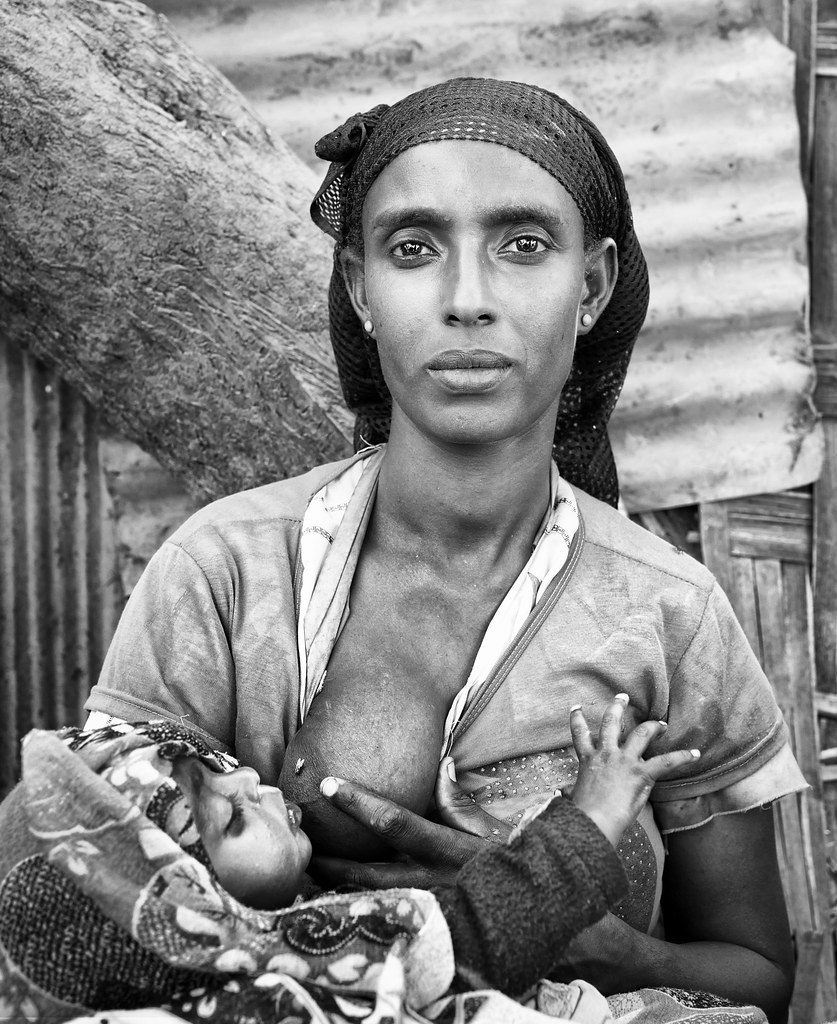
Pappa Time

Pappa Time

Pappa Time

Street scene

ethiopia - omo valley
ethiopia - omo valley

ethiopia - omo valley

Halaba Irmans

Animal Market
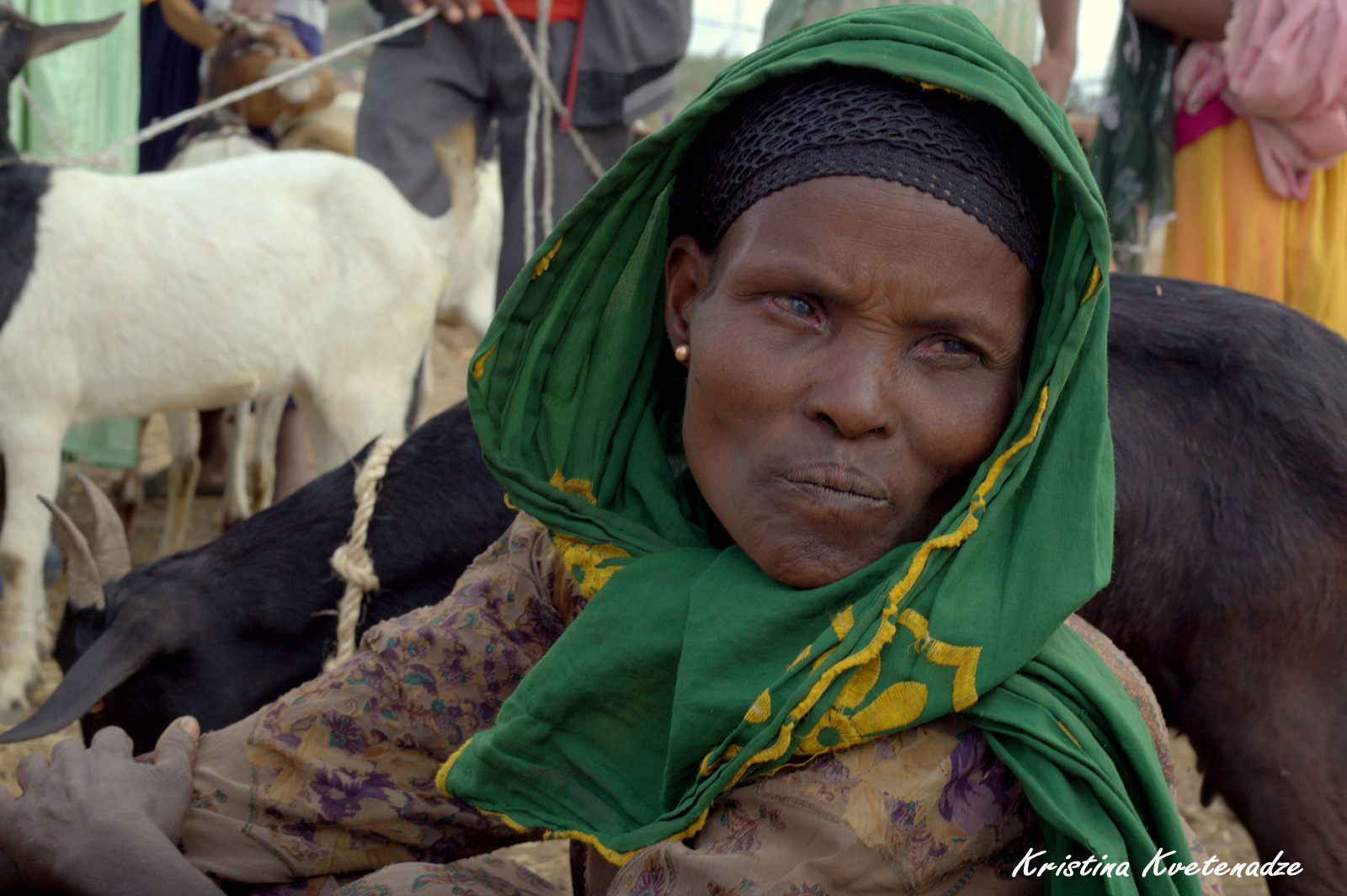
Ethiopian women on the animal market

In the village
ETP-2210-20130115.jpg

ETP-2209-20130115.jpg

ETP-2208-20130115.jpg

Street scene

father and son

ETP-2211-20130115.jpg
Topographic Map of Regidina, Ethiopia
Find elevation by address:

Places near Regidina, Ethiopia:
Regdina
Alaba
Chitu
Sebu Seboka
East Shewa
Shala Lake
Jido
Hawassa Tabor Highschool
Awassa
Awasa Town
አርሲ ነገሌ ፡፡
Langano Lake
Tiya
Qoqa Negewo
Koka Reservoir
Recent Searches:
- Elevation of Congressional Dr, Stevensville, MD, USA
- Elevation of Bellview Rd, McLean, VA, USA
- Elevation of Stage Island Rd, Chatham, MA, USA
- Elevation of Shibuya Scramble Crossing, 21 Udagawacho, Shibuya City, Tokyo -, Japan
- Elevation of Jadagoniai, Kaunas District Municipality, Lithuania
- Elevation of Pagonija rock, Kranto 7-oji g. 8"N, Kaunas, Lithuania
- Elevation of Co Rd 87, Jamestown, CO, USA
- Elevation of Tenjo, Cundinamarca, Colombia
- Elevation of Côte-des-Neiges, Montreal, QC H4A 3J6, Canada
- Elevation of Bobcat Dr, Helena, MT, USA