Elevation of Chitu, Ethiopia
Location: Ethiopia > Oromia > East Shewa > Sebu Seboka >
Longitude: 38.4205695
Latitude: 7.4049326
Elevation: -10000m / -32808feet
Barometric Pressure: 295KPa
Elevation Map:
Satellite Map:
Related Photos:

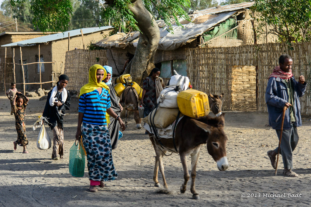
ETP-2267-20130115.jpg

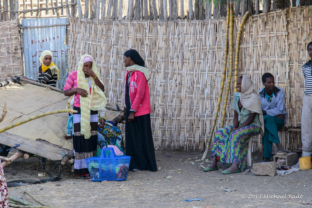
ETP-2261-20130115.jpg

ETP-2272-20130115.jpg

ETP-2271-20130115.jpg

ETP-2270-20130115.jpg

ETP-2269-20130115.jpg

ETP-2268-20130115.jpg

ETP-2265-20130115.jpg

ETP-2264-20130115.jpg

ETP-2260-20130115.jpg

ETP-2259-20130115.jpg

ETP-2258-20130115.jpg

ETP-2257-20130115.jpg
ETP-2256-20130115.jpg

ETP-2255-20130115.jpg

ETP-2254-20130115.jpg
ETP-2253-20130115.jpg

ETP-2251-20130115.jpg

ETP-2250-20130115.jpg

ETP-2242-20130115.jpg

ETP-2241-20130115.jpg
Topographic Map of Chitu, Ethiopia
Find elevation by address:

Places near Chitu, Ethiopia:
Sebu Seboka
East Shewa
Shala Lake
Alaba
Regidina
Regdina
Jido
አርሲ ነገሌ ፡፡
Awassa
Awasa Town
Hawassa Tabor Highschool
Langano Lake
Tiya
Qoqa Negewo
Koka Reservoir
Recent Searches:
- Elevation of Tenjo, Cundinamarca, Colombia
- Elevation of Côte-des-Neiges, Montreal, QC H4A 3J6, Canada
- Elevation of Bobcat Dr, Helena, MT, USA
- Elevation of Zu den Ihlowbergen, Althüttendorf, Germany
- Elevation of Badaber, Peshawar, Khyber Pakhtunkhwa, Pakistan
- Elevation of SE Heron Loop, Lincoln City, OR, USA
- Elevation of Slanický ostrov, 01 Námestovo, Slovakia
- Elevation of Spaceport America, Co Rd A, Truth or Consequences, NM, USA
- Elevation of Warwick, RI, USA
- Elevation of Fern Rd, Whitmore, CA, USA