Elevation of Redington Rd, Benson, AZ, USA
Location: United States > Arizona > Pima County > Benson >
Longitude: -110.49664
Latitude: 32.500642
Elevation: 842m / 2762feet
Barometric Pressure: 92KPa
Elevation Map:
Satellite Map:
Related Photos:
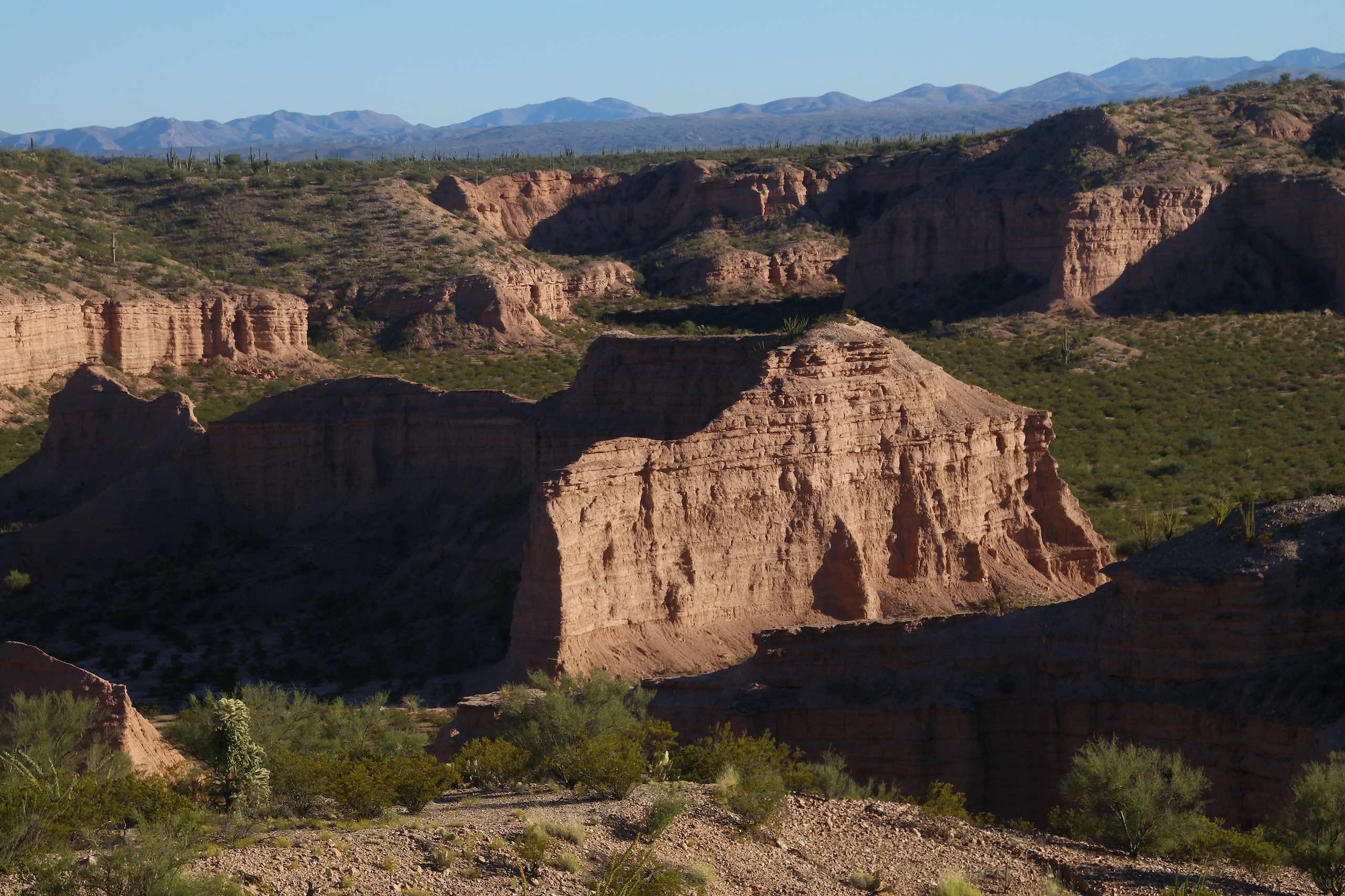
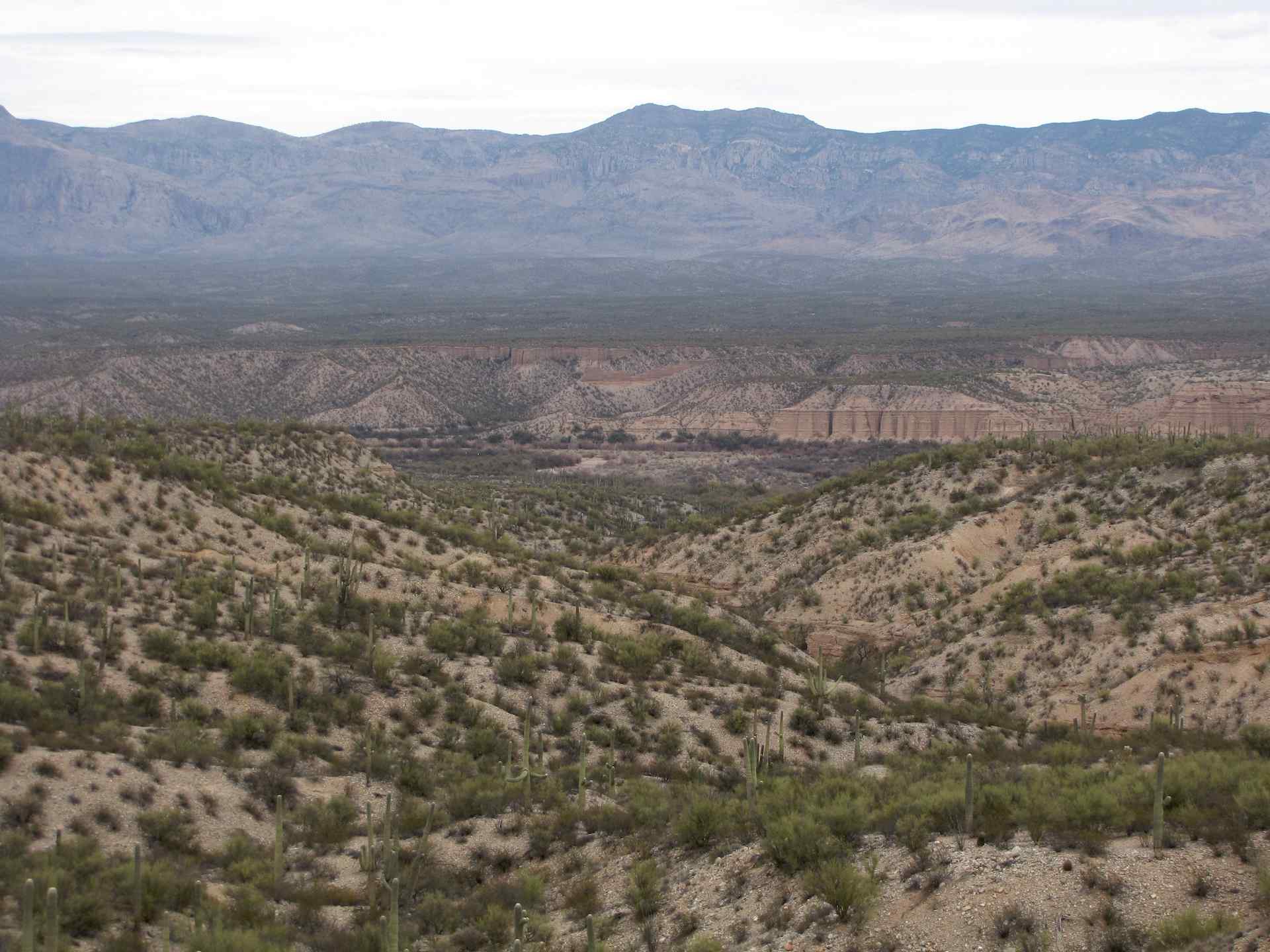
View over Second Canyon Wash, N of Redington, AZ
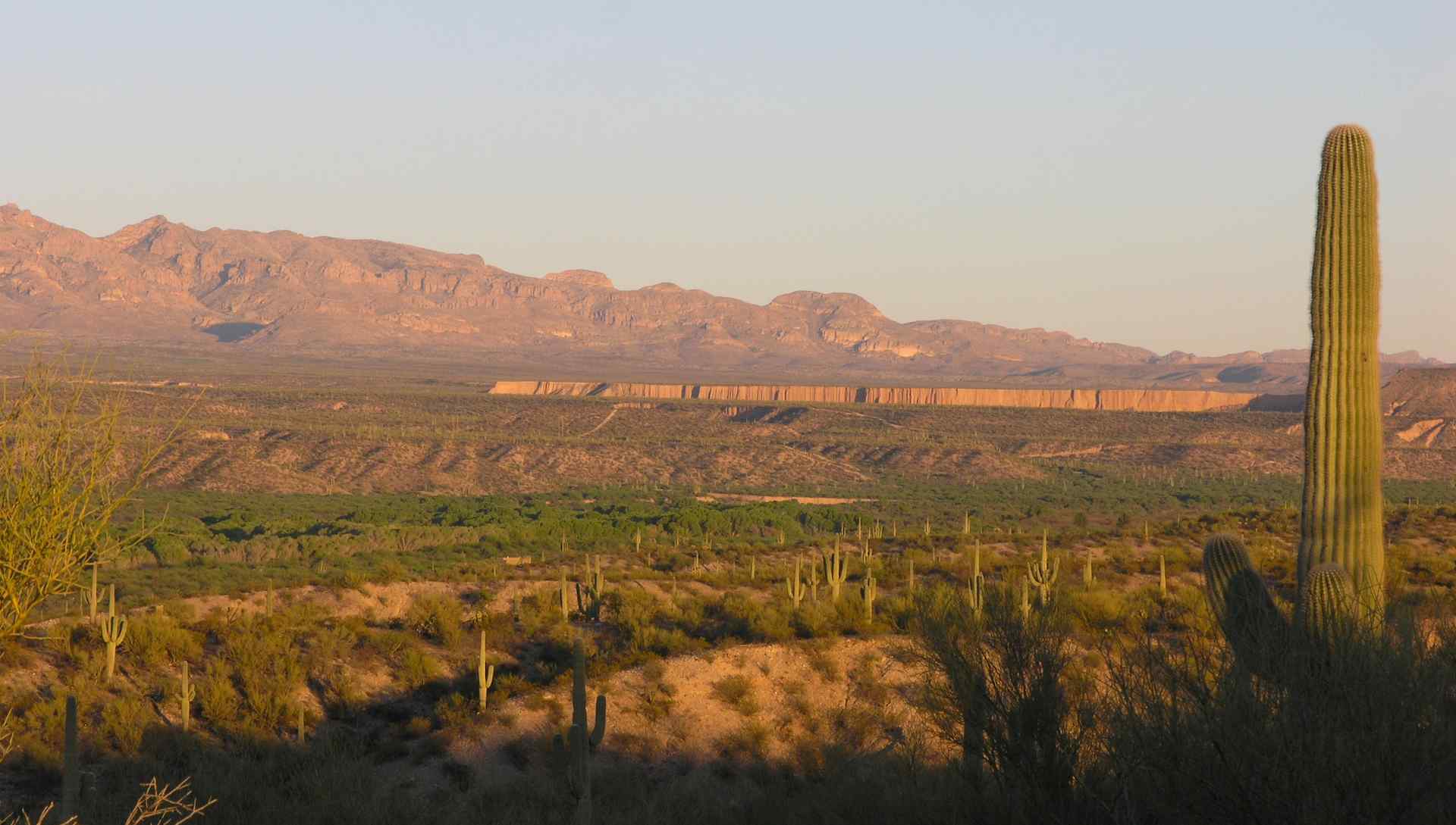
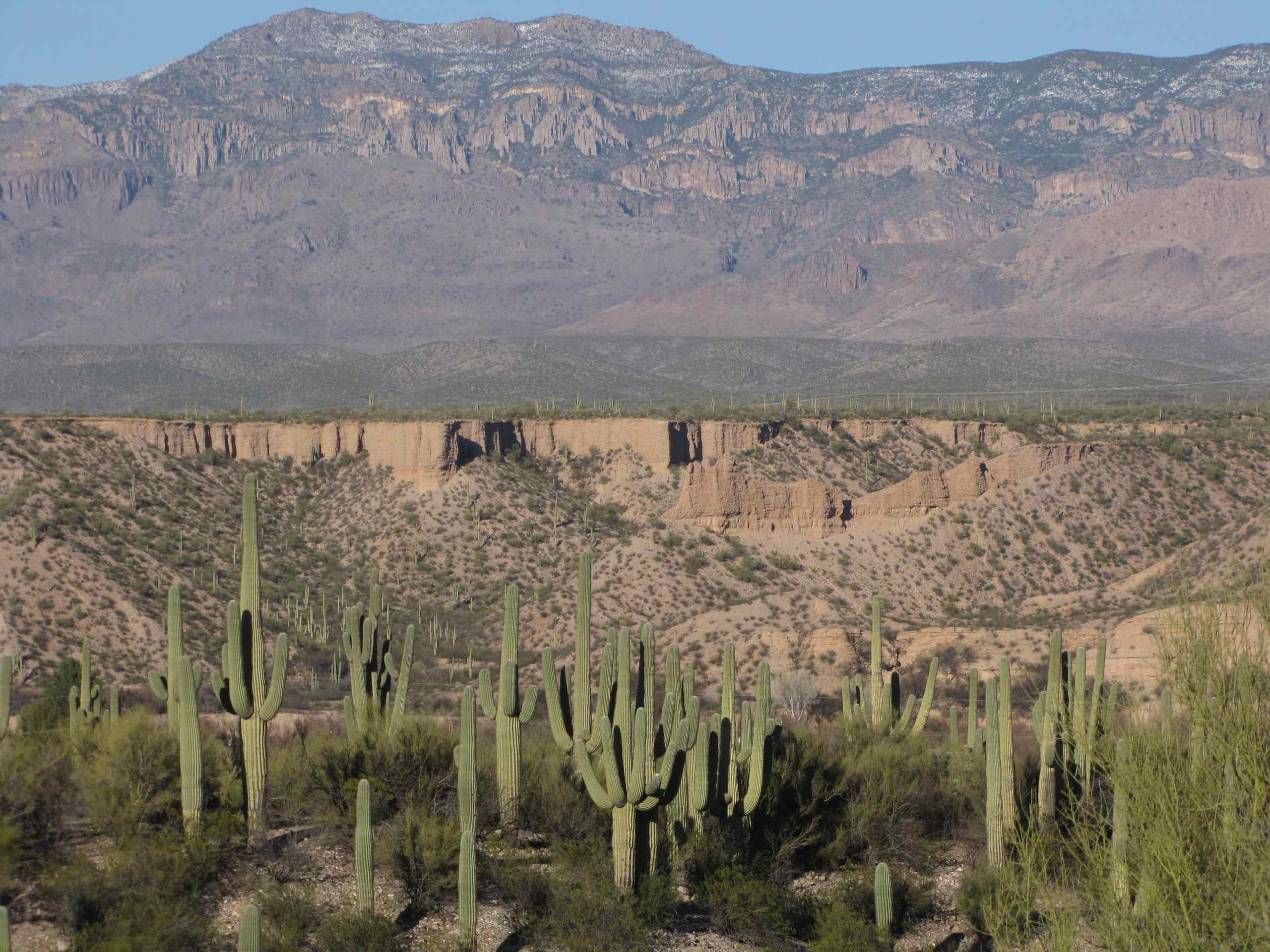
View of Galiuro Mountains and San Pedro River valley
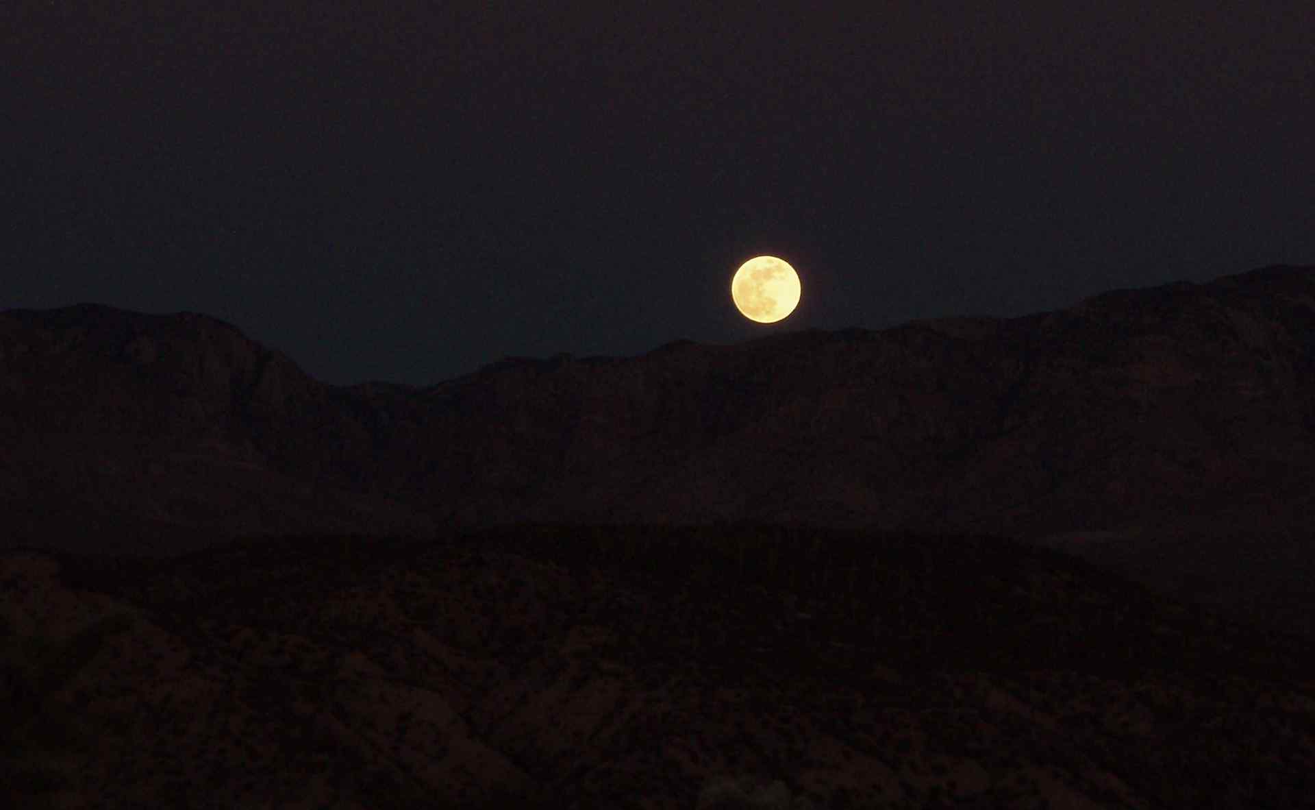
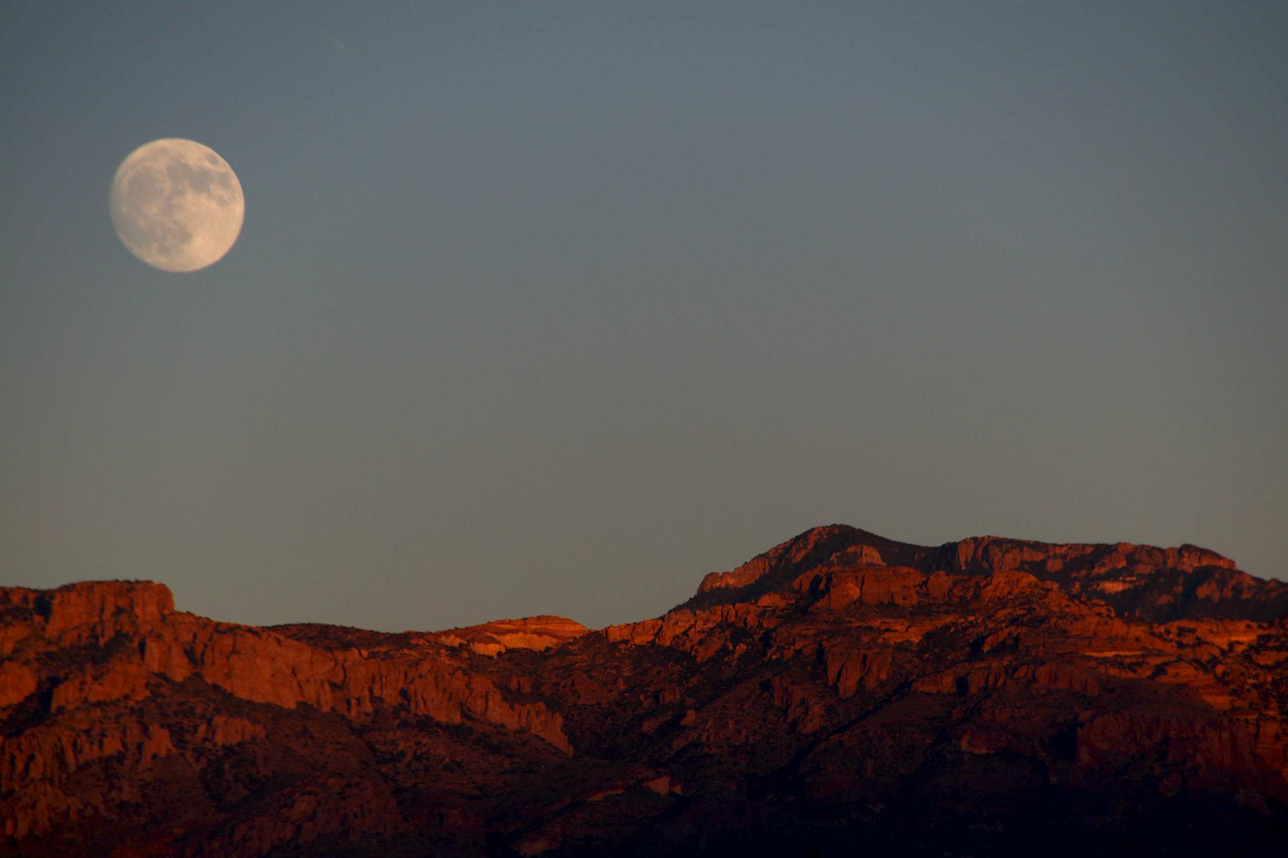
View of full moon over Galiuro Mountains, SE of San Manuel, AZ
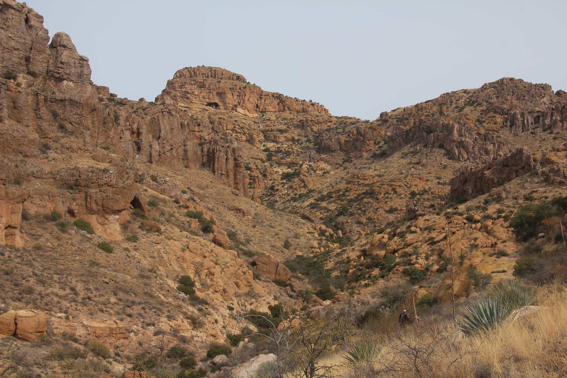
Far view of Changuinha Cave; Galiuro Mountains, E of Redington, AZ

View of small canyon and San Pedro River Valley, S of Kielberg Canyon; SE of San Manuel, AZ

Small wash and hills; SE of San Manuel, AZ
View of San Pedro River Valley and Kielberg Canyon from mesa S of Alder Wash, SE of San Manuel, AZ
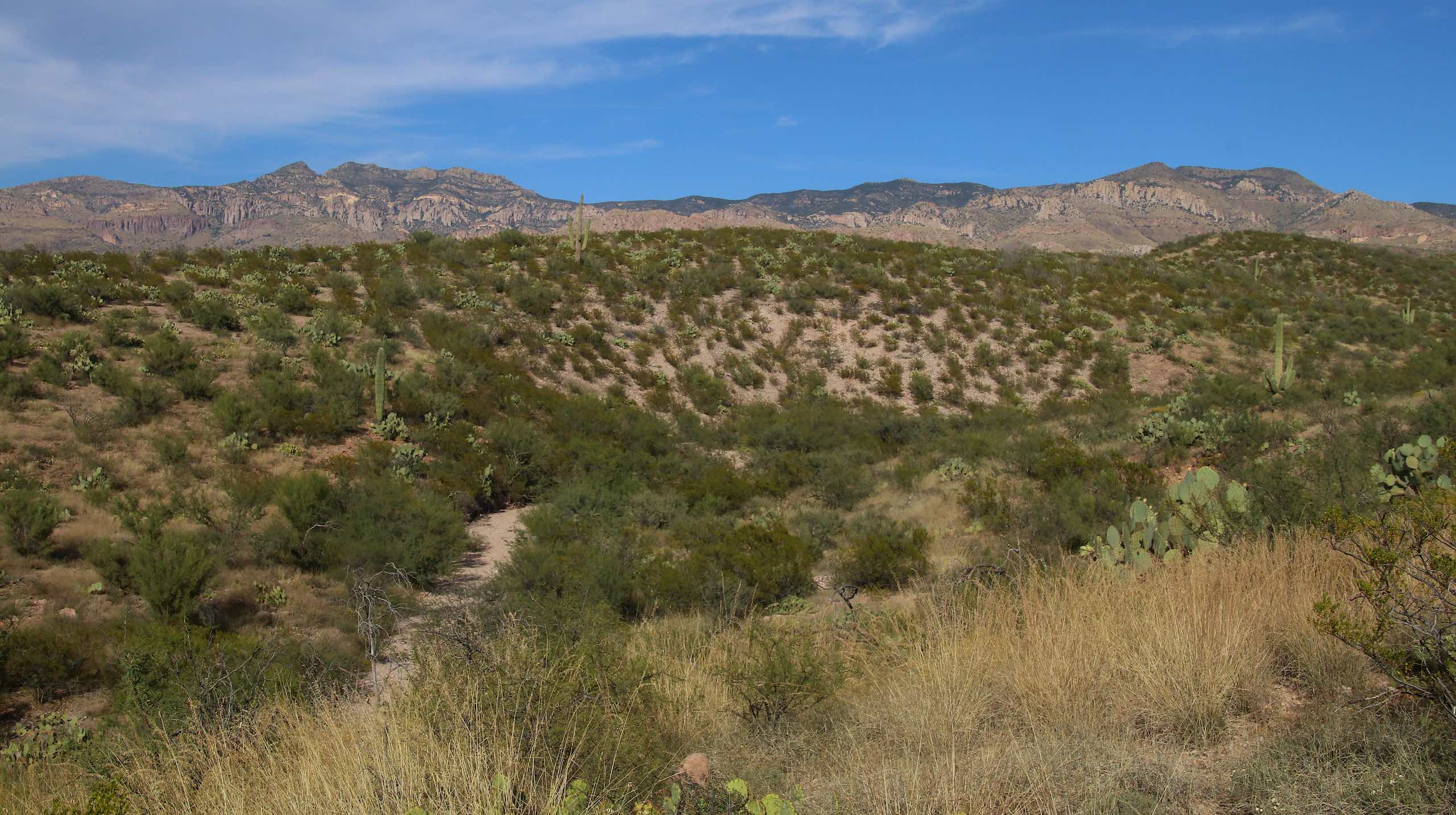
Desert View
View from E side of San Pedro River, S of Kielberg Canyon, SE of San Manuel, AZ
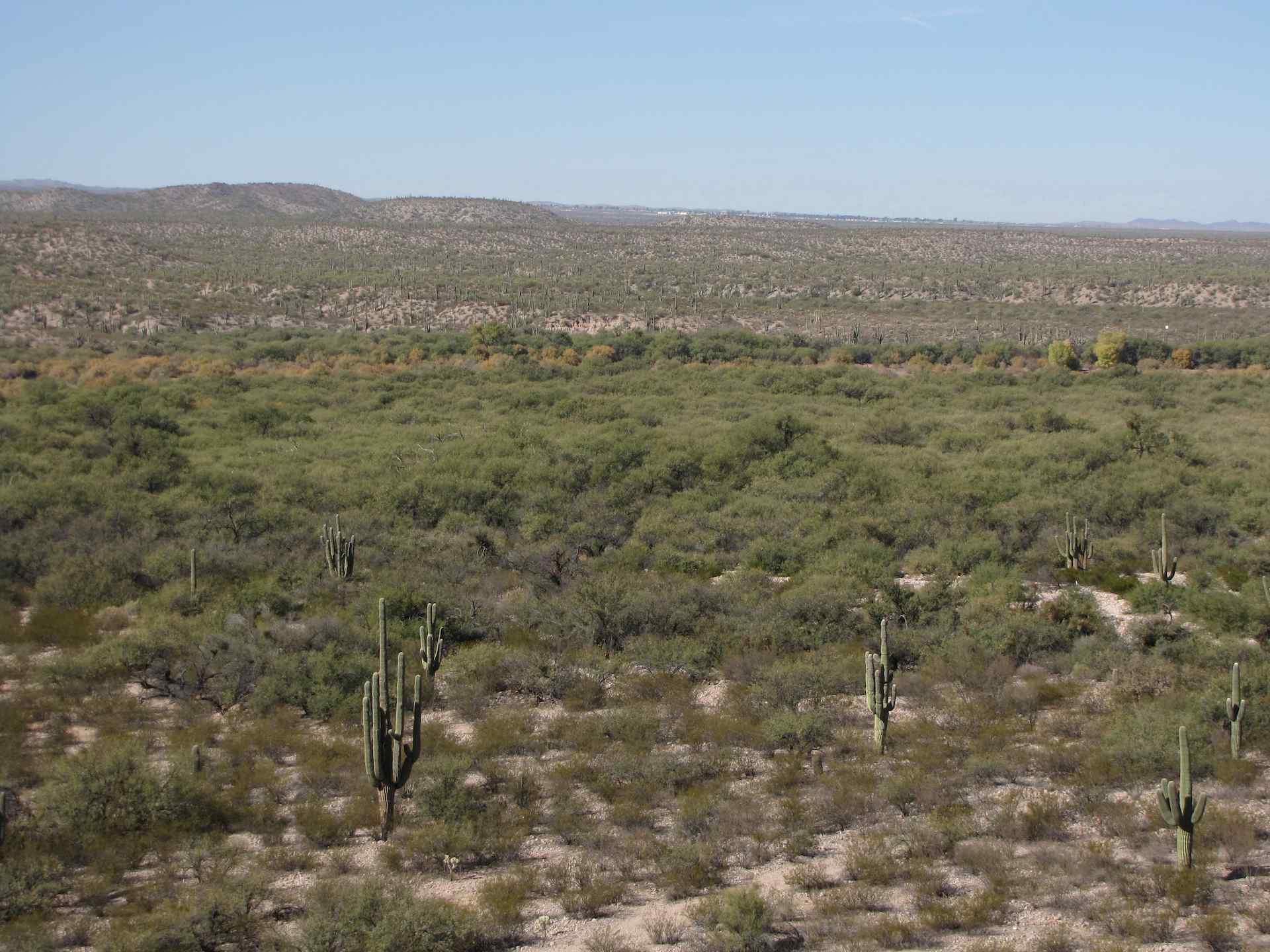
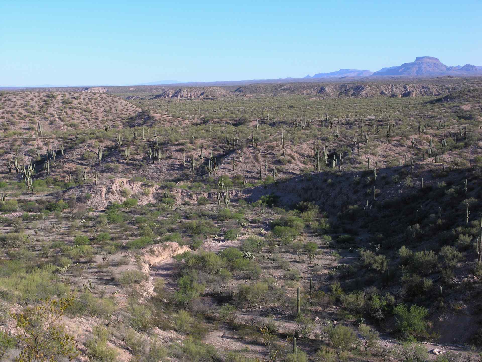
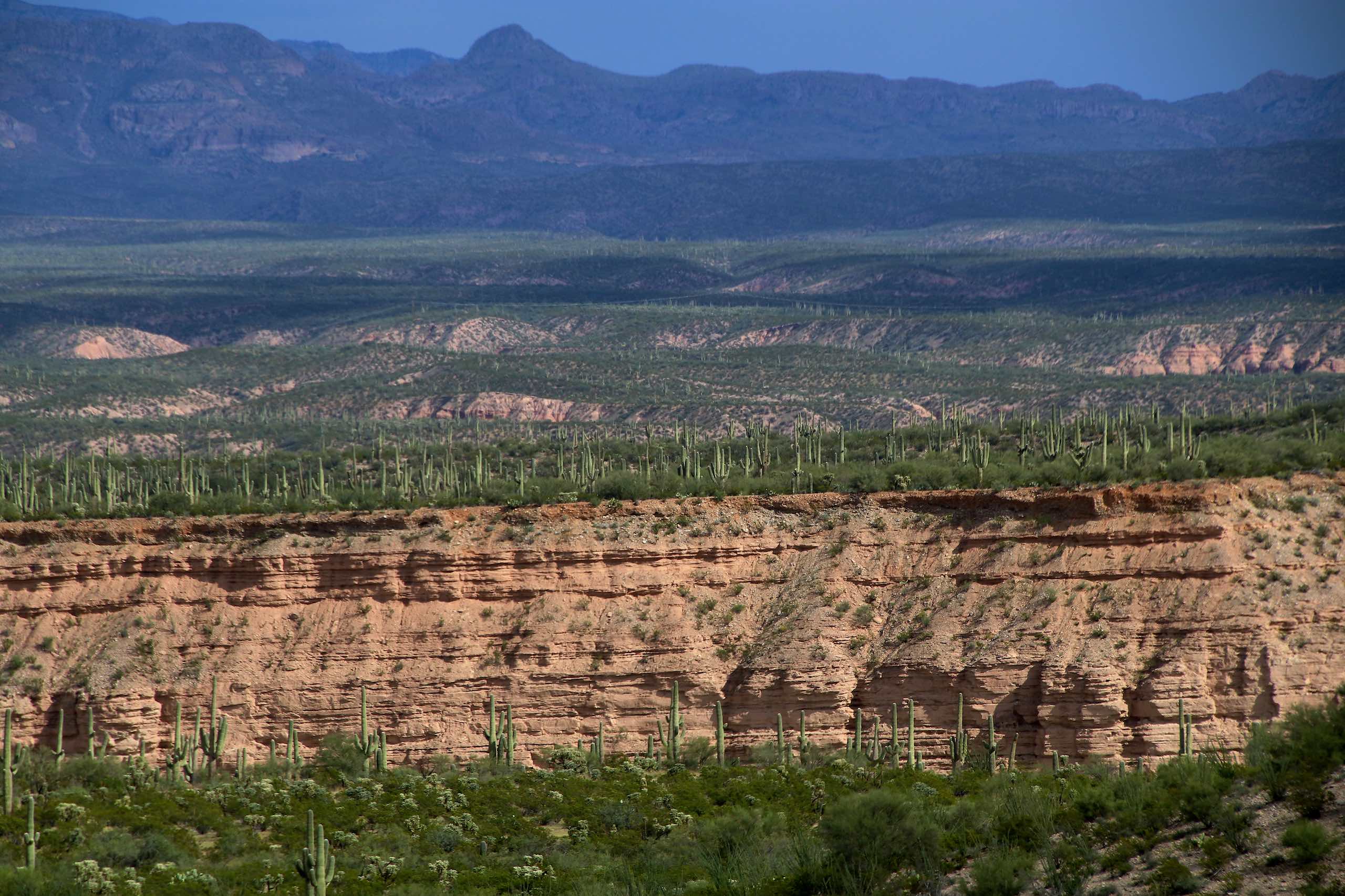
San Pedro River and Mesquite Forest with Saguaros; SE of San Manuel, AZ
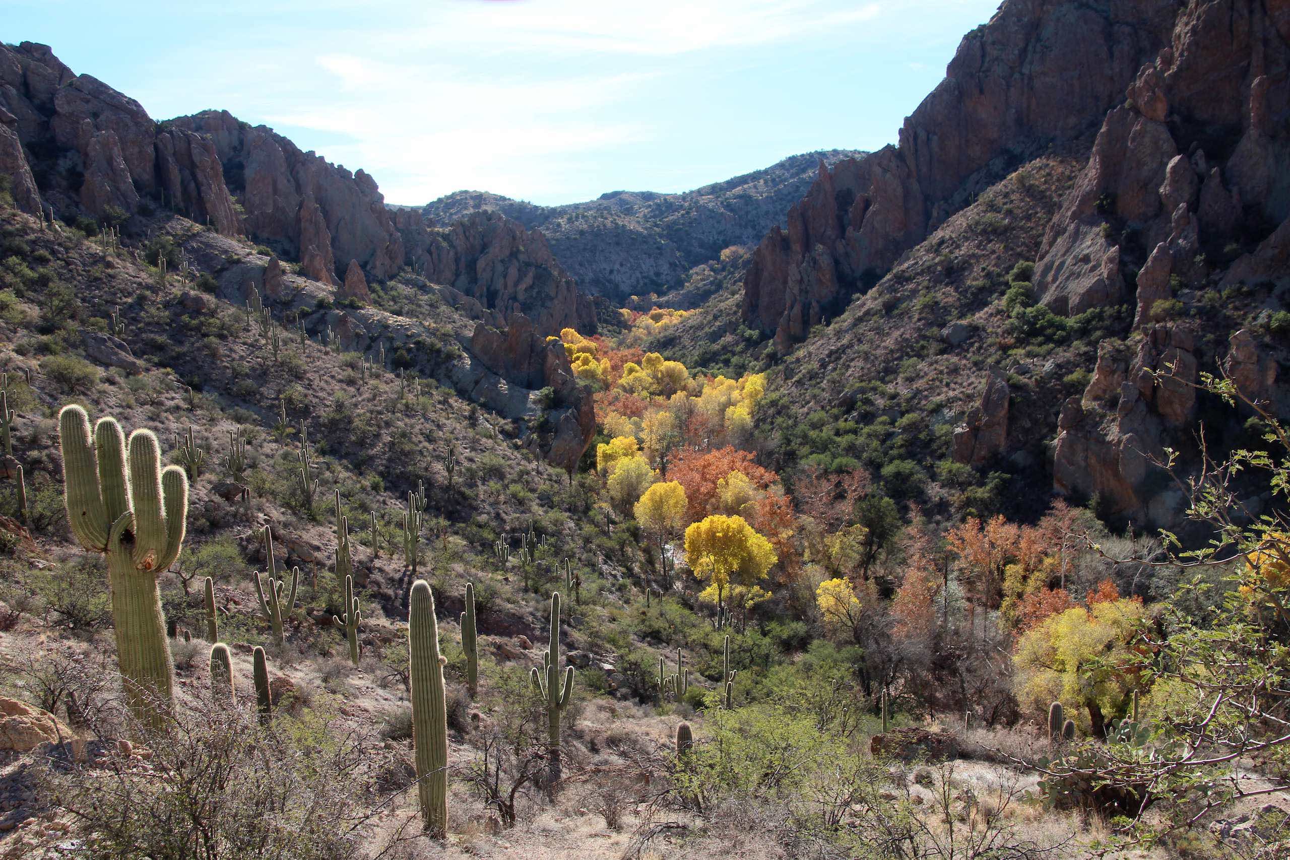
View into Redfield Canyon from the N side, Galiuro Mountains, E of Redington, AZ

View of turning Cottonwood leaves in San Pedro Valley from road up Cienega Wash, Galiuro Mountains, E of San Manuel, AZ
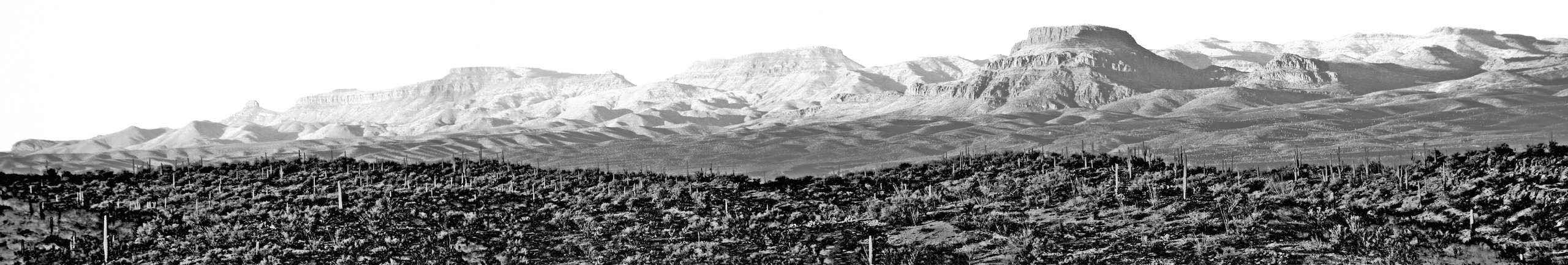
Panoramic View of Galiuro Mountains from Soaptree Yucca Flats, W of Redington, AZ
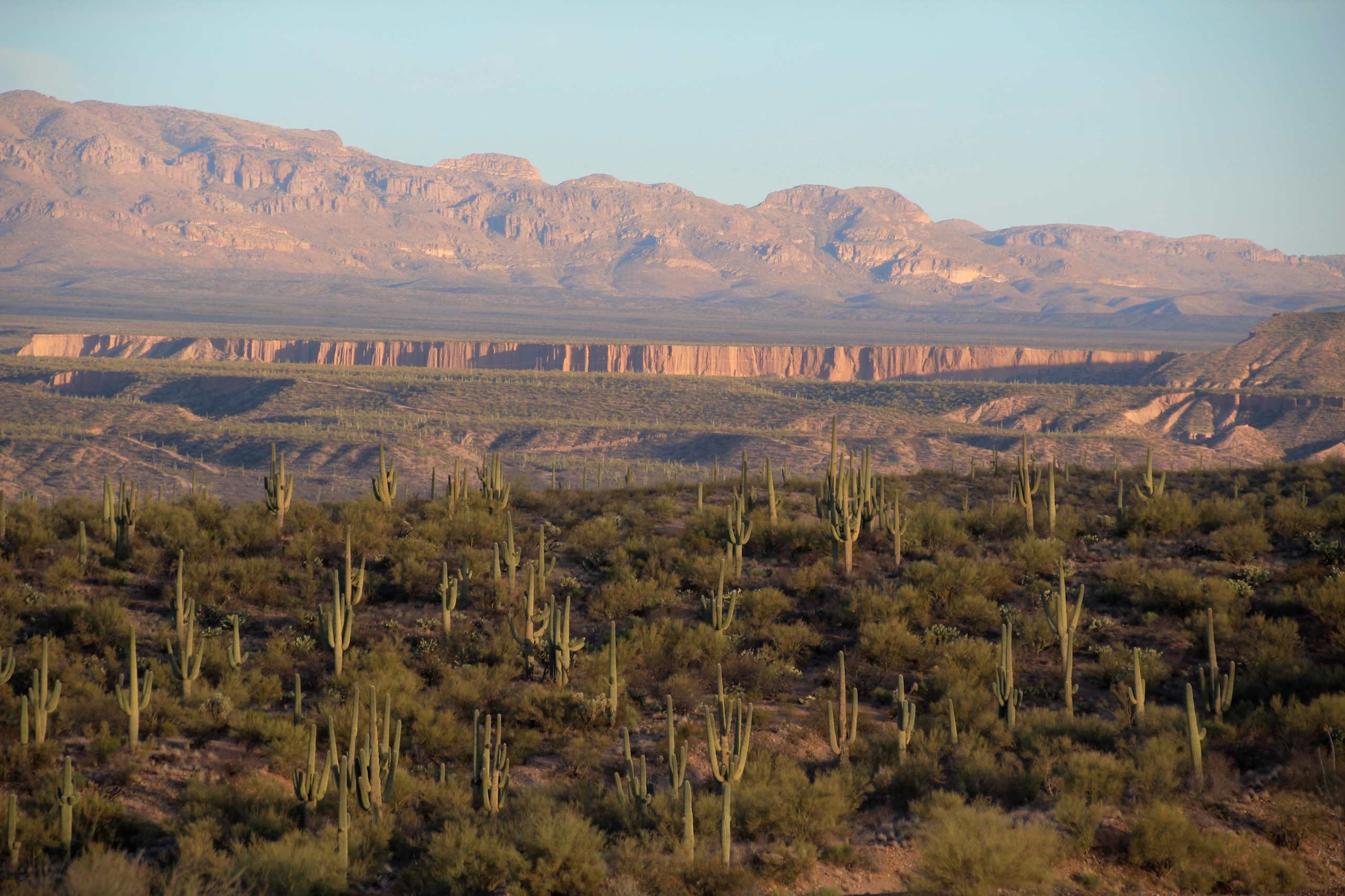
View of Galiuro Mountains and Lower Kielberg Canyon in the background; near San Manuel, AZ
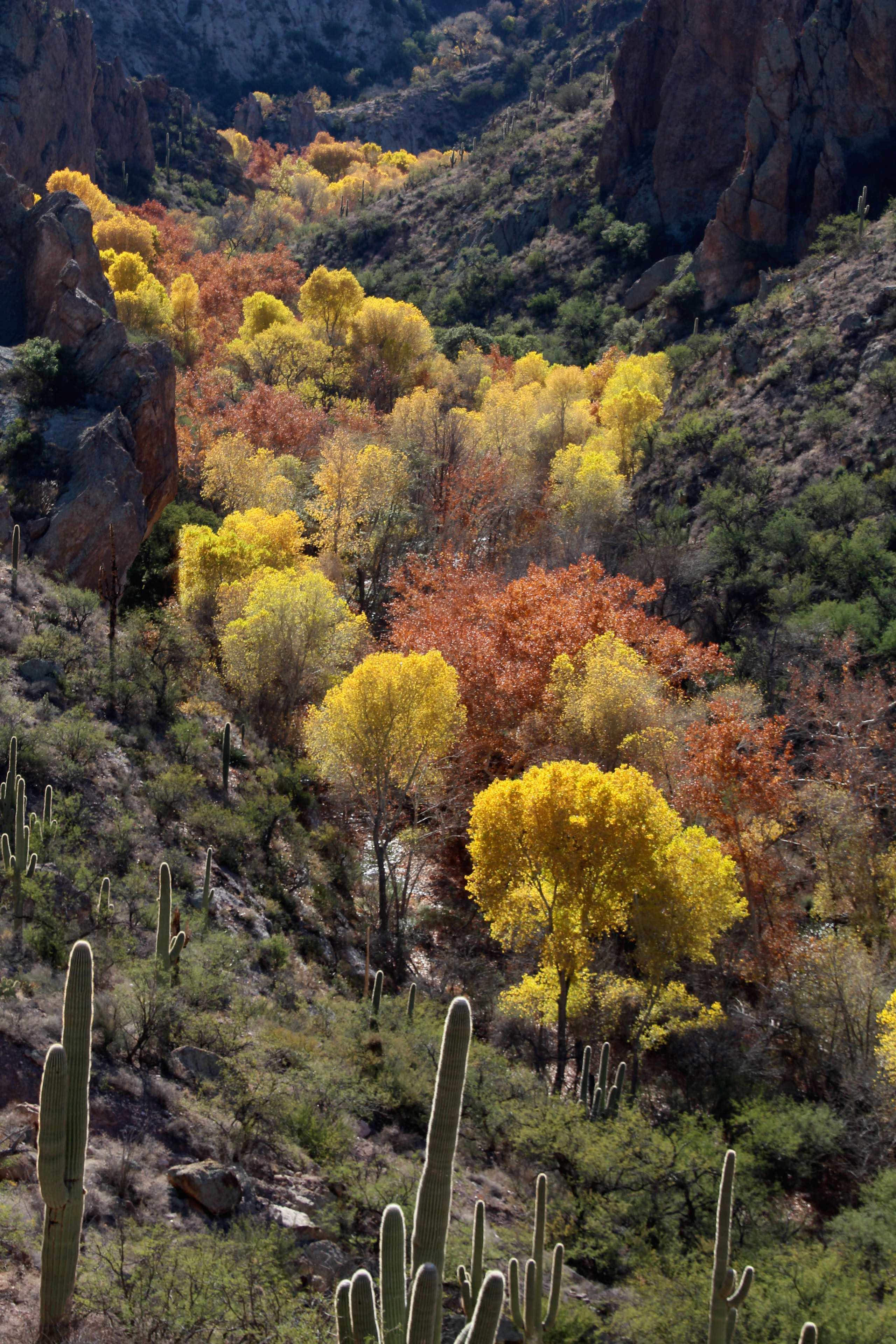
Autumn in Redfield Canyon, Galiuro Mountains, E of Redington, AZ
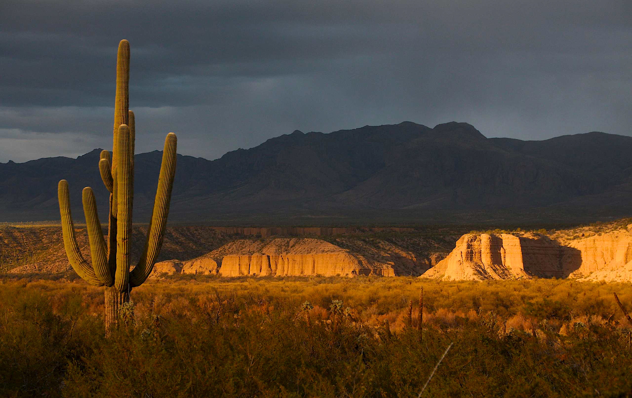
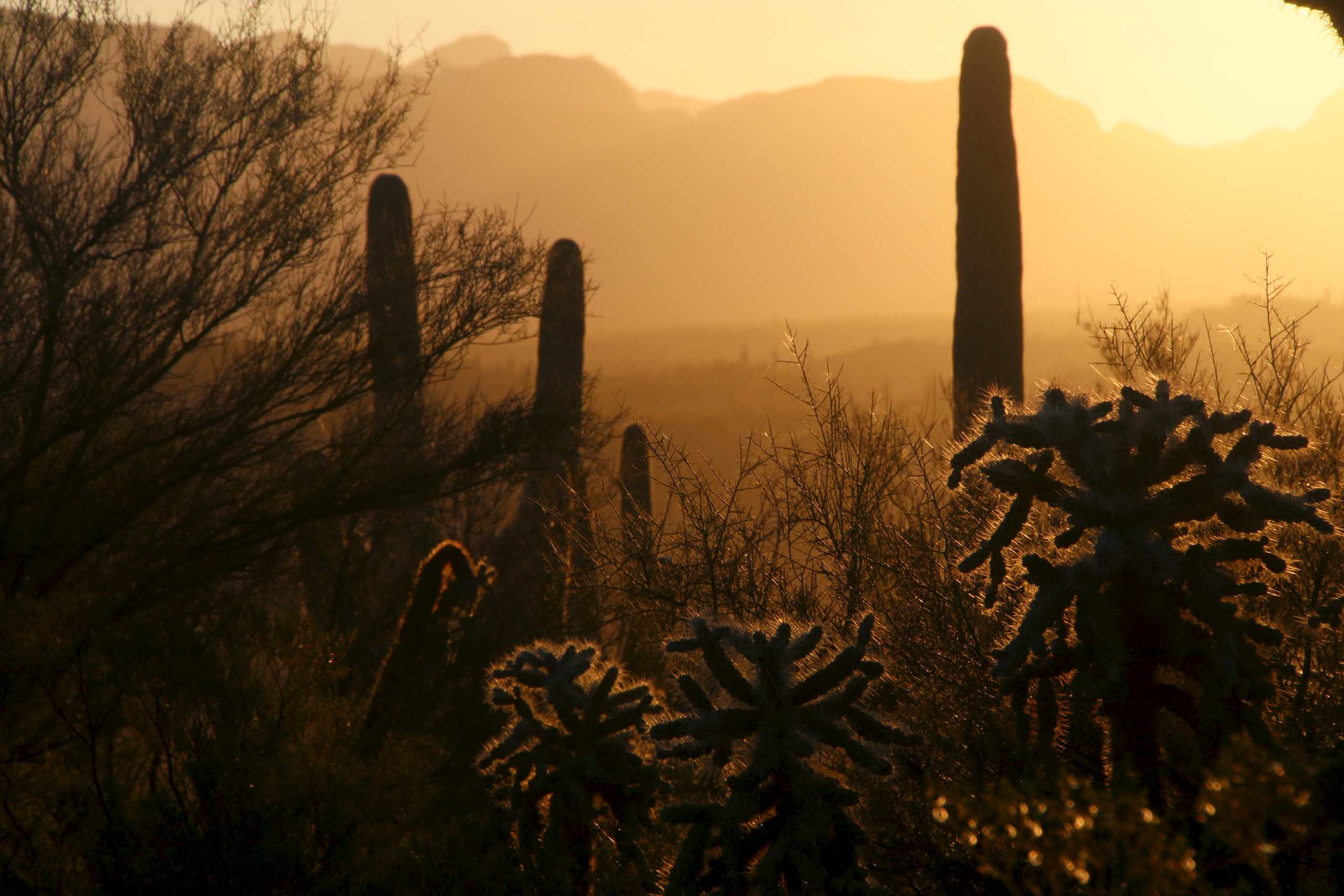
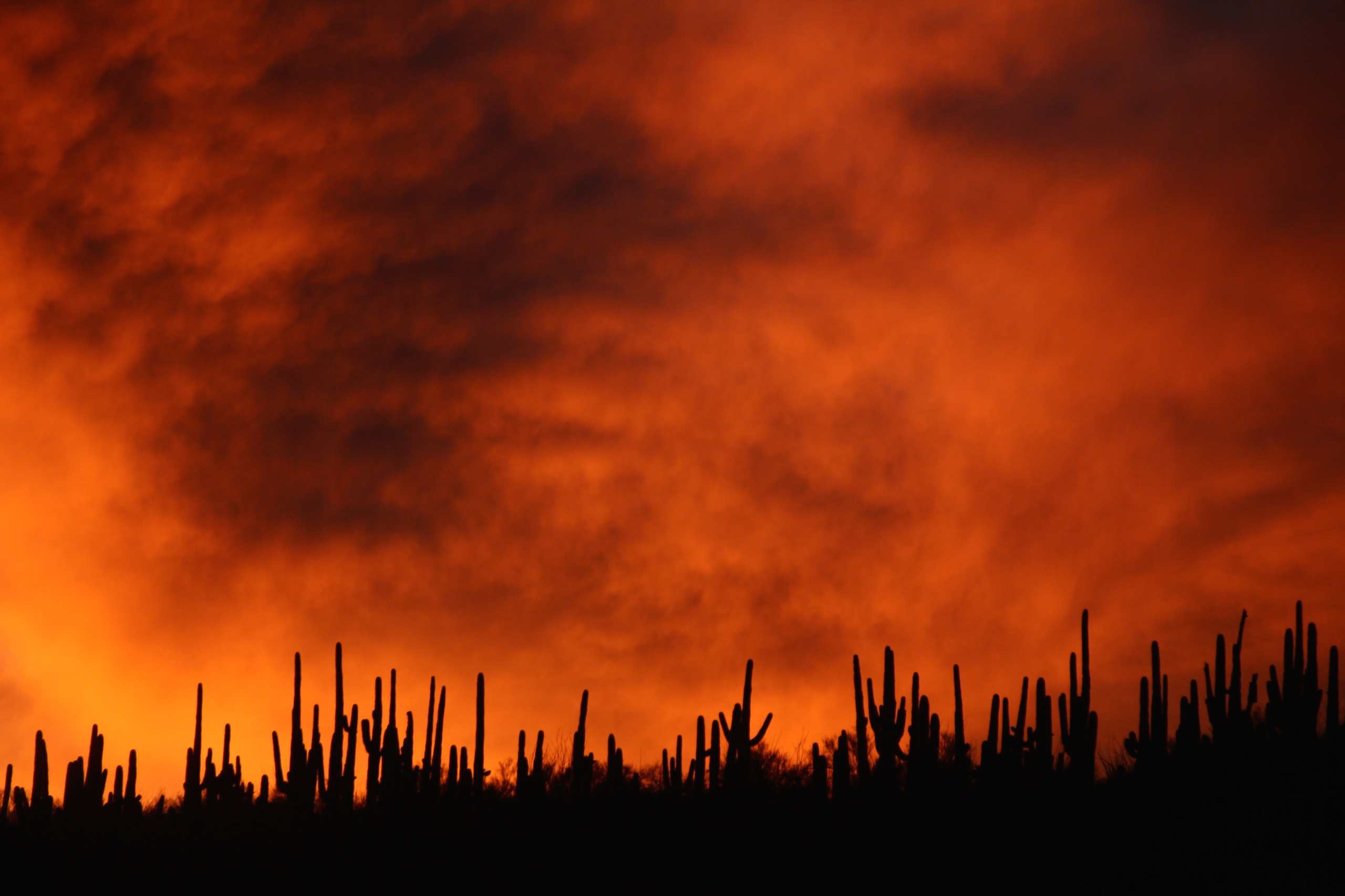
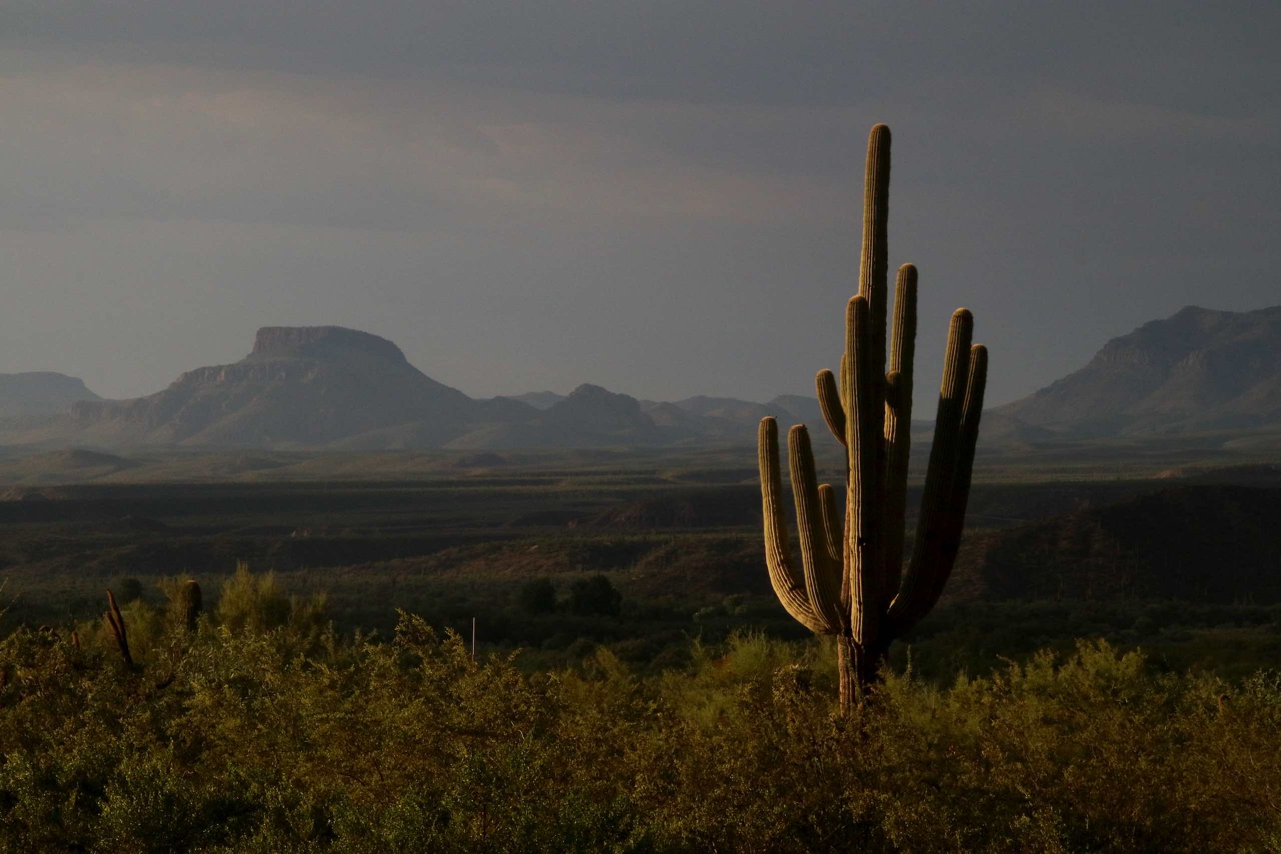
View of the Galiuro Mountains and Saguaro Cacti at sunset; San Pedro River Valley, AZ
Sombrero Butte, San Pedro River Valley, AZ
Alder Wash walls, San Pedro River Valley, Arizona

View of snow capped Galiuro Mountains; SE of San Manuel, AZ
View of Sagauro Cacti and San Pedro Valley at dawn; SE of San Manuel, AZ
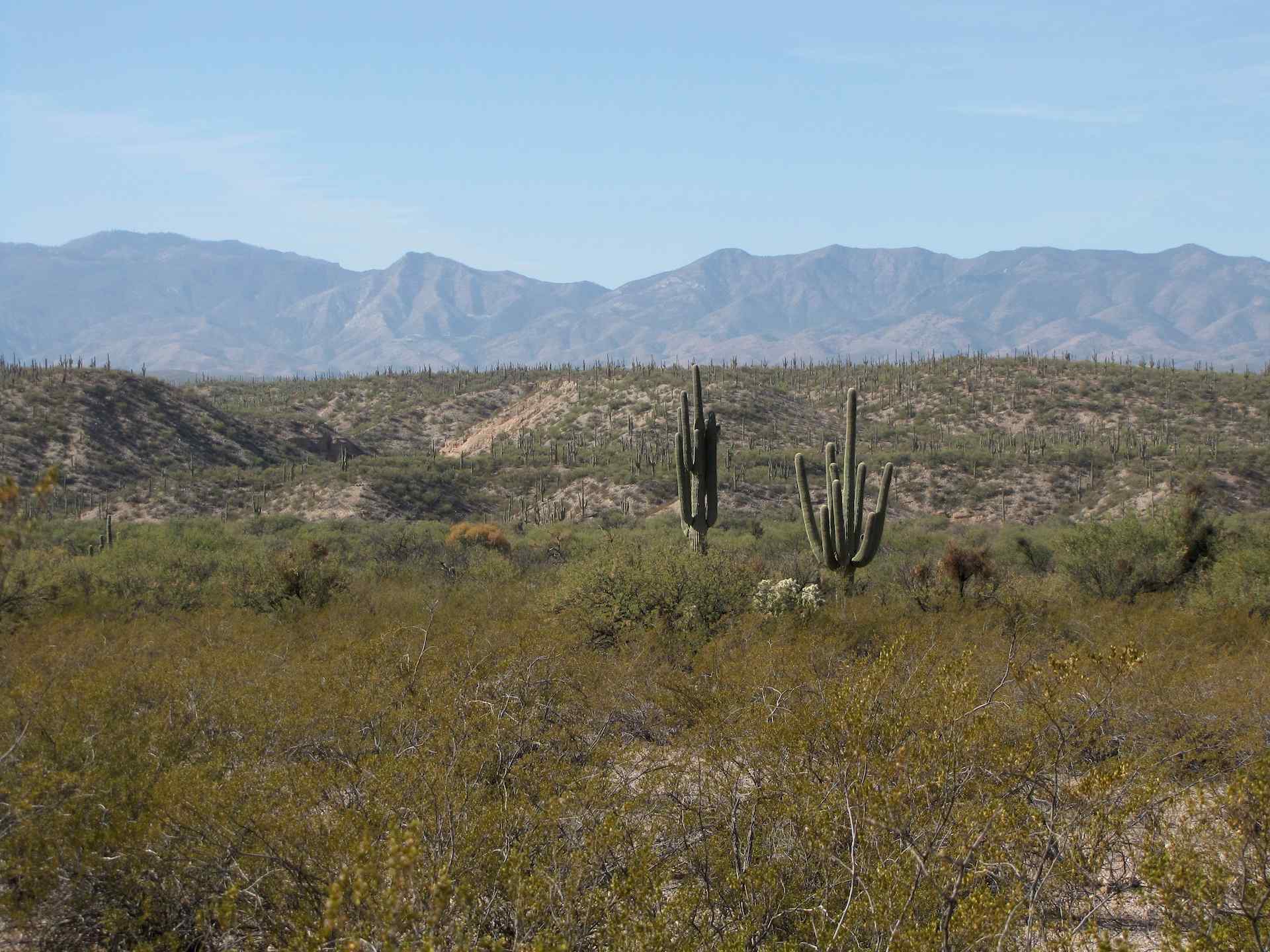
Saguaro Cacti in small wash ("Hunter's Wash") just S of Alder Wash with view of Galiuro Mountain s and entrance to Kielberg Canyon behind; SE of San Manuel, AZ
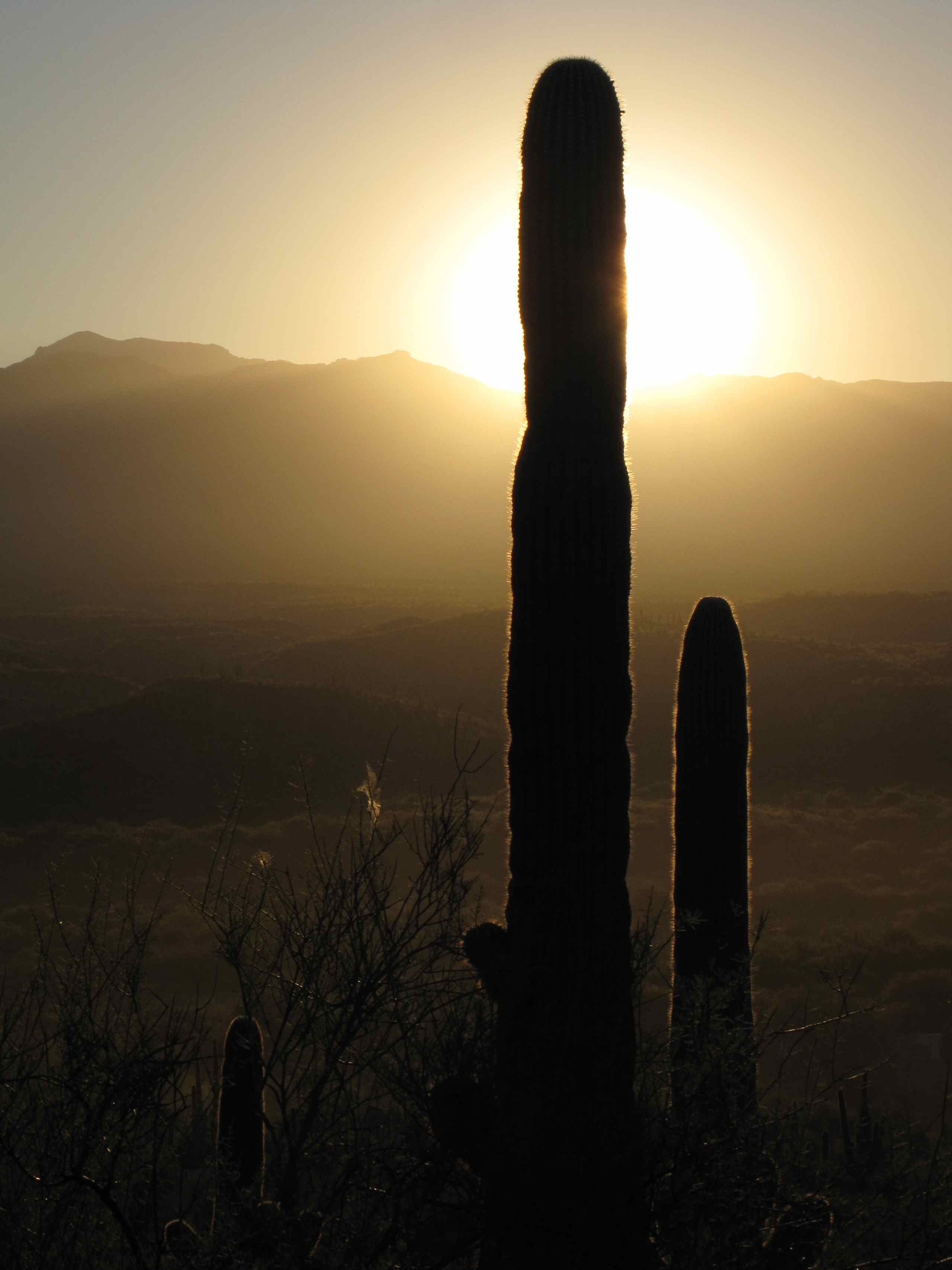
Sunrise in San Pedro River Valley, Arizona
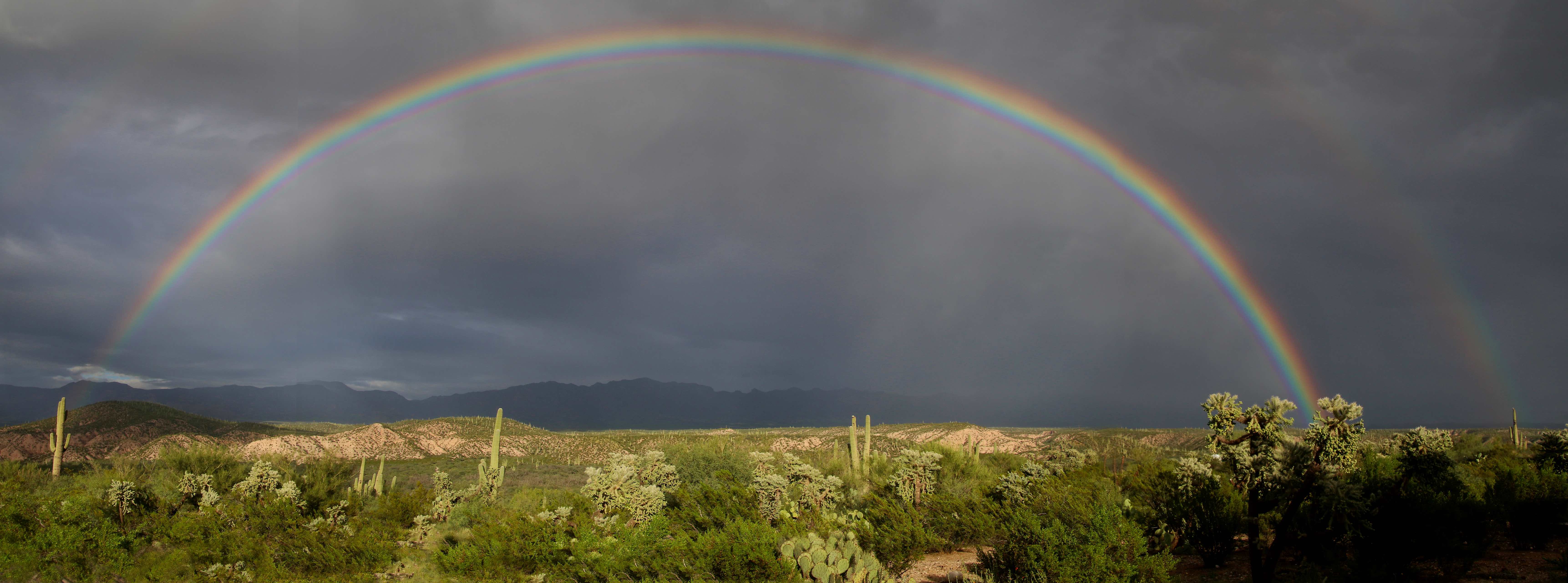
Rainbow over the San Pedro River Valley, SE of San Manuel, AZ

Sunset over the Galiuro Mountains
Small wash N of Kielberg Canyon, San Pedro River Valley, AZ
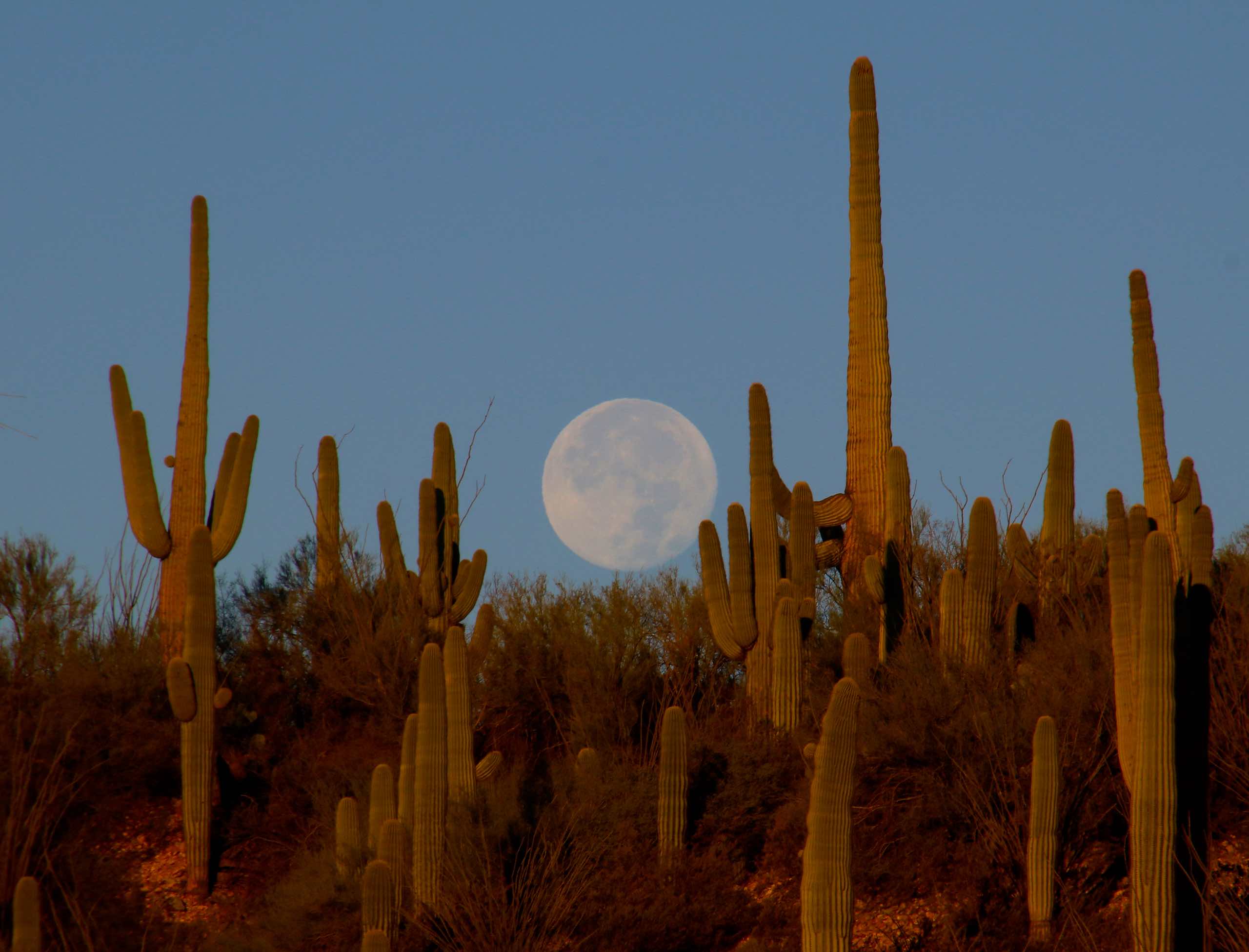
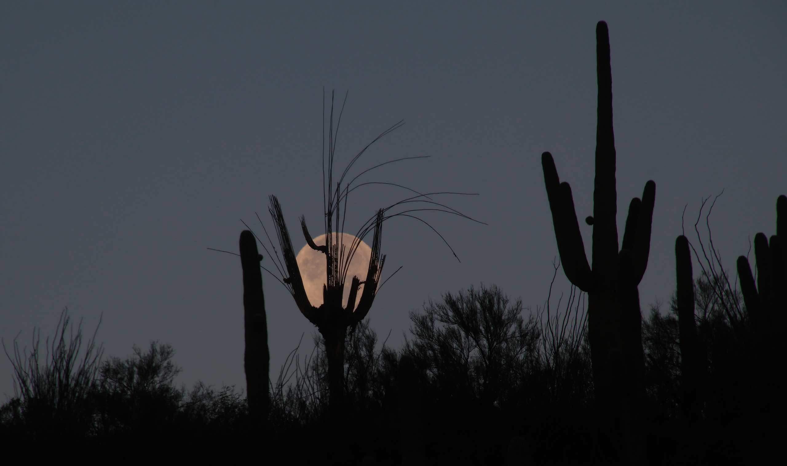
Moonrise over the Galiuro Mountains
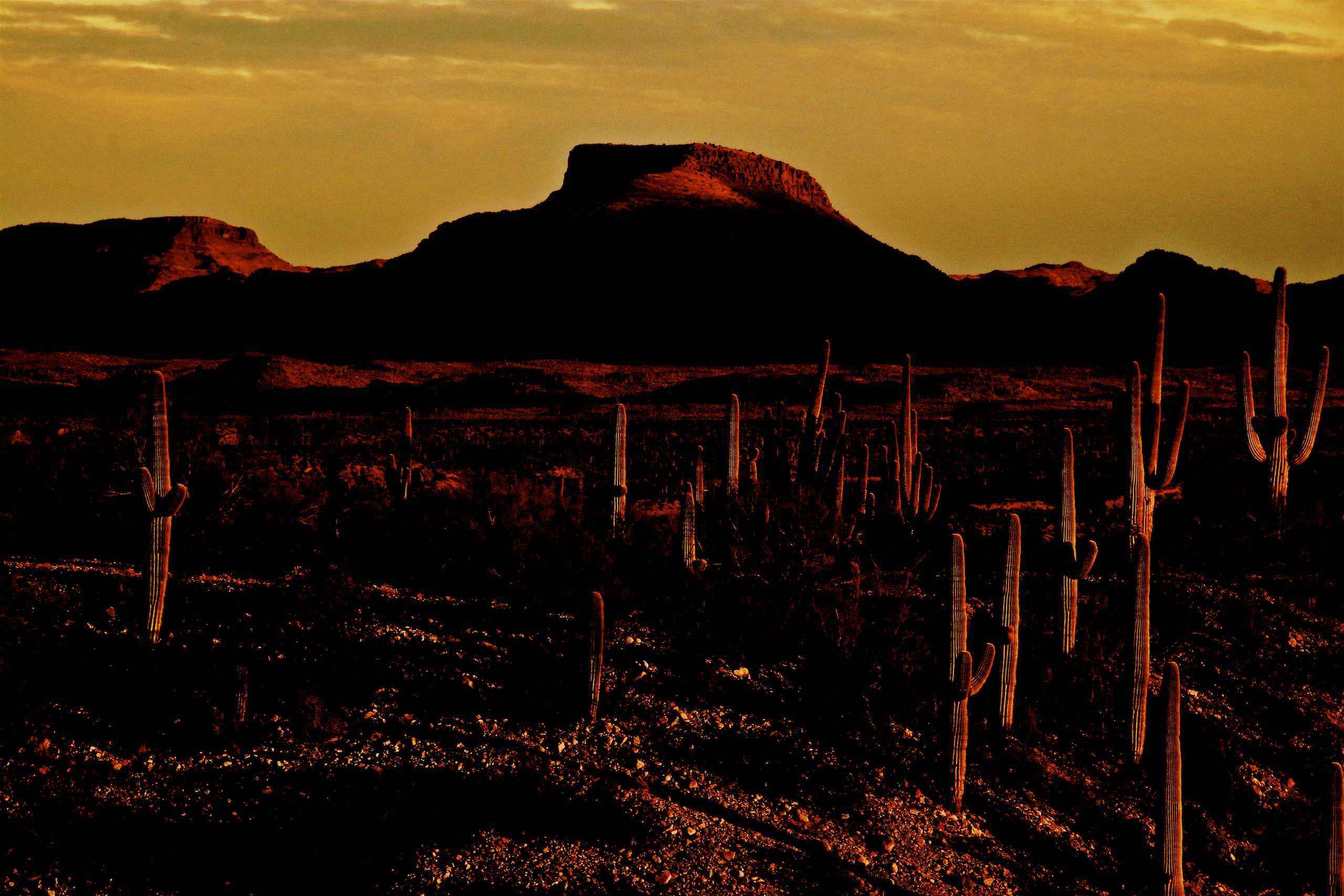
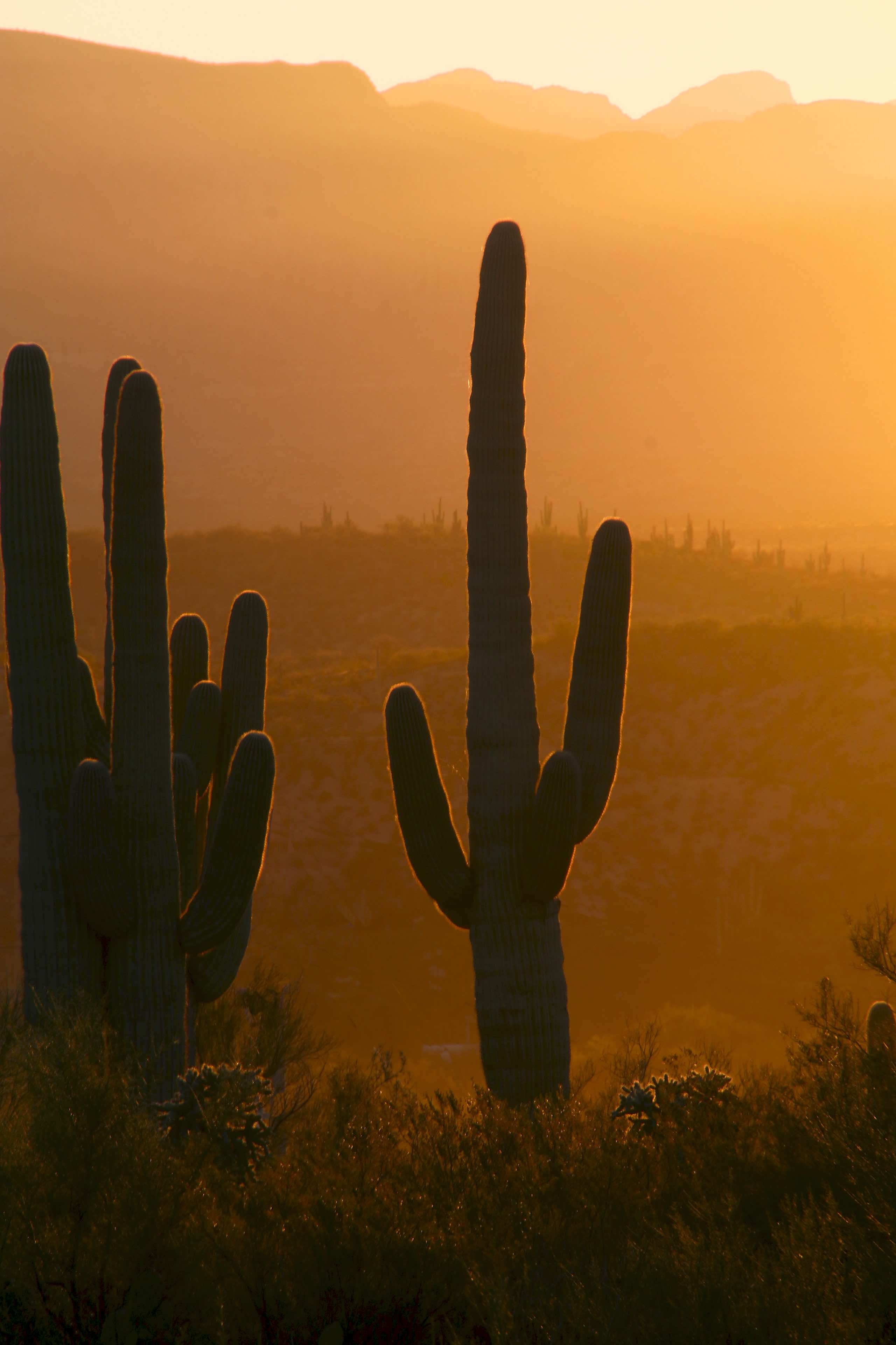
Sunset over Saguaro Cacti - San Pedro River Valley
Saguaro Cacti at sunrise; San Pedro River Valley, Arizona
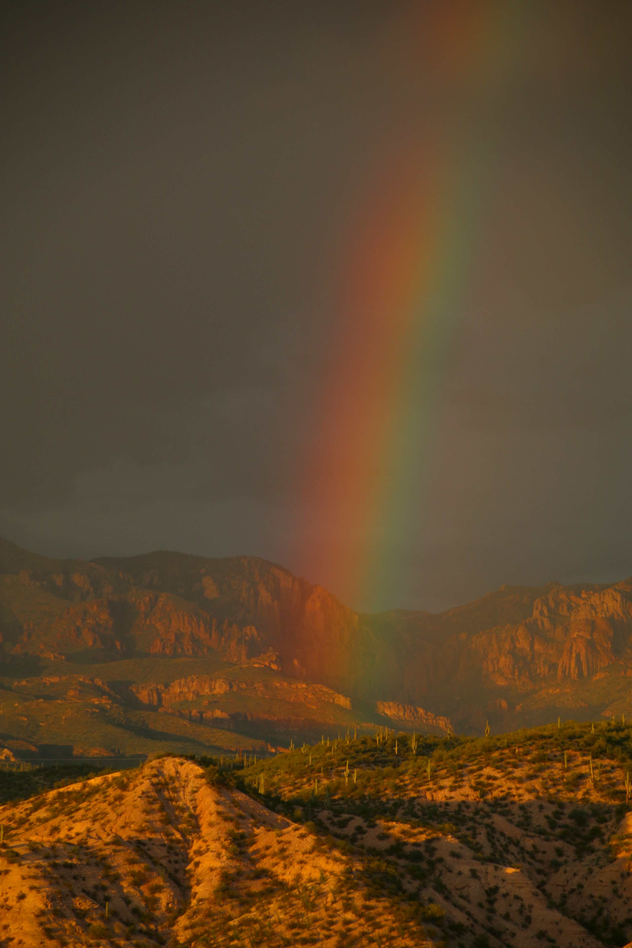
Sunset with rainbow over the Galiuro Mountains; San Pedro River Valley, AZ
Sunrise with a setting "Super Moon" over Saguaro Cacti; San Pedro River Valley, Arizona
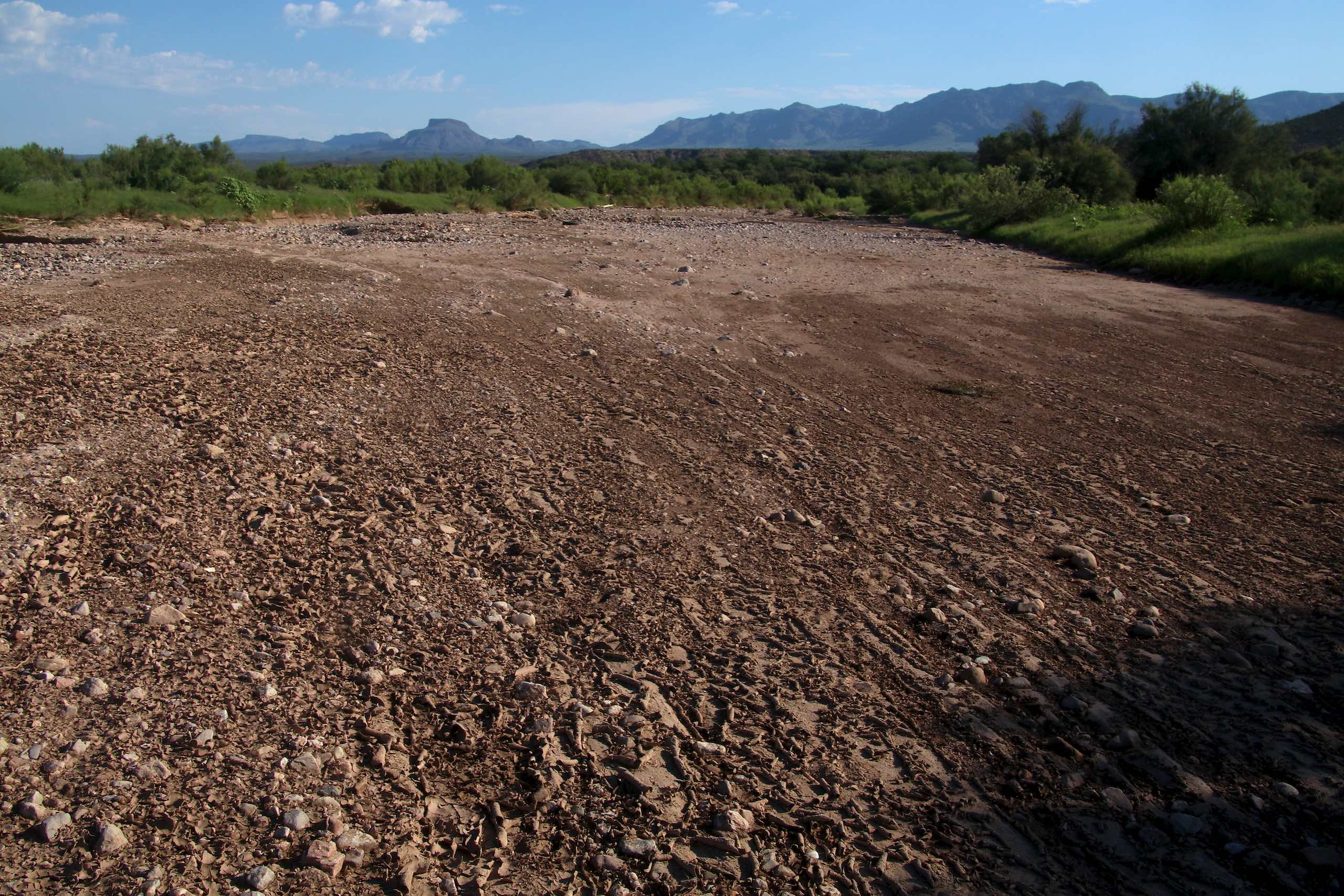
San Pedro Riverbed; San Pedro River Valley, AZ
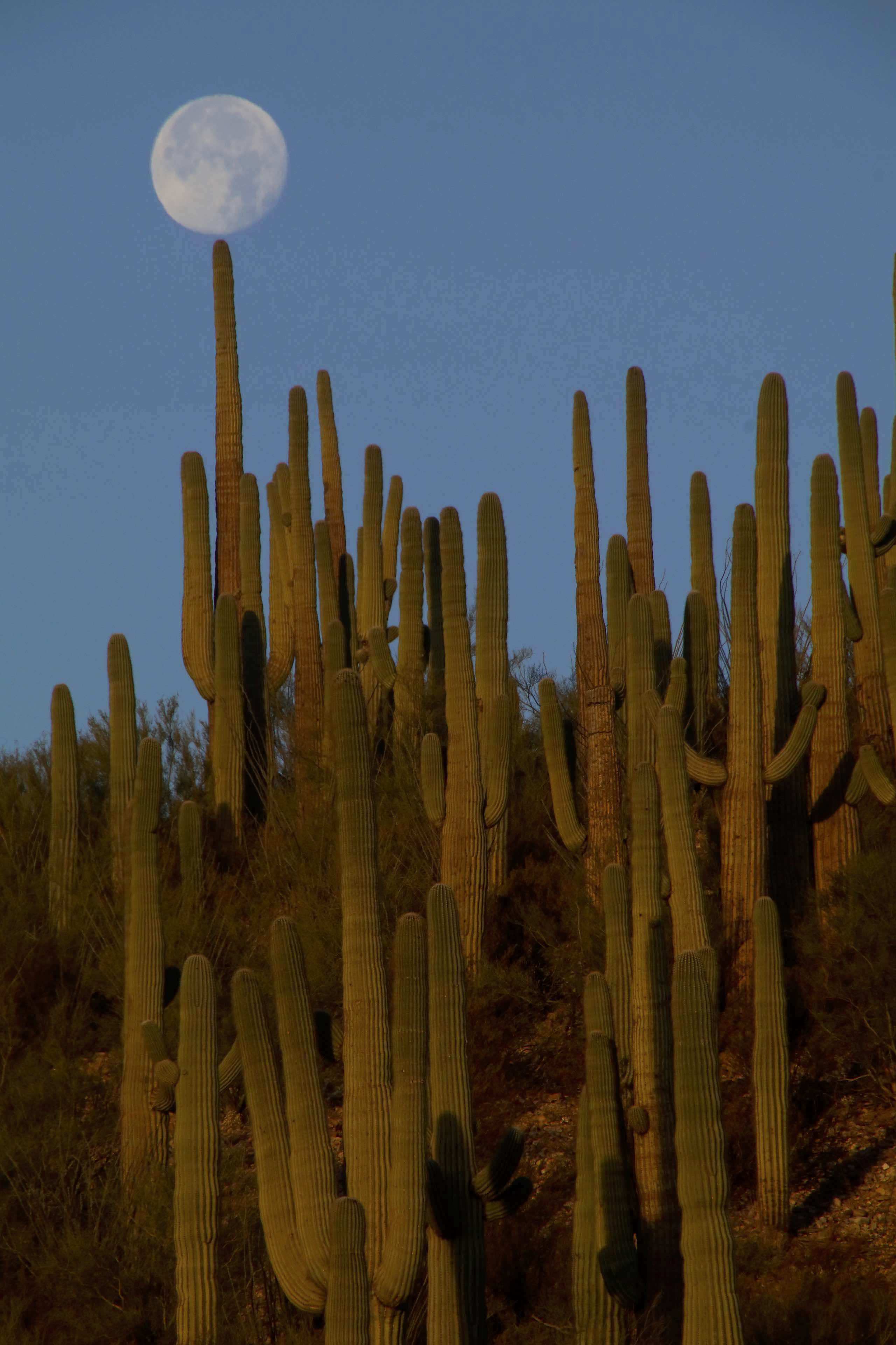
Balancing full moon over Saguaro Cacti, San Pedro River Valley, AZ
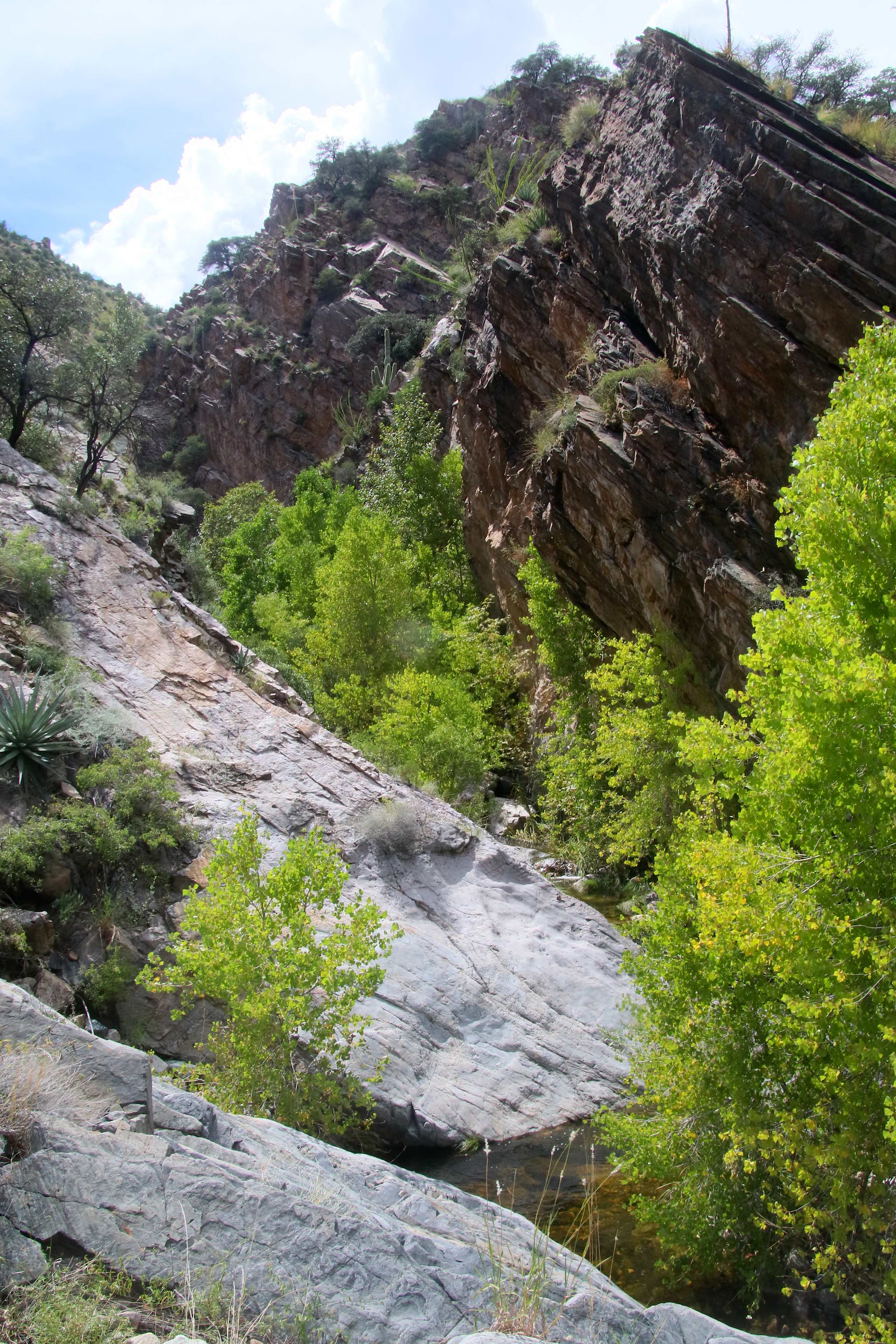
Edgar Canyon, W of Davis Spring, Coronado NF, W of Redington, AZ
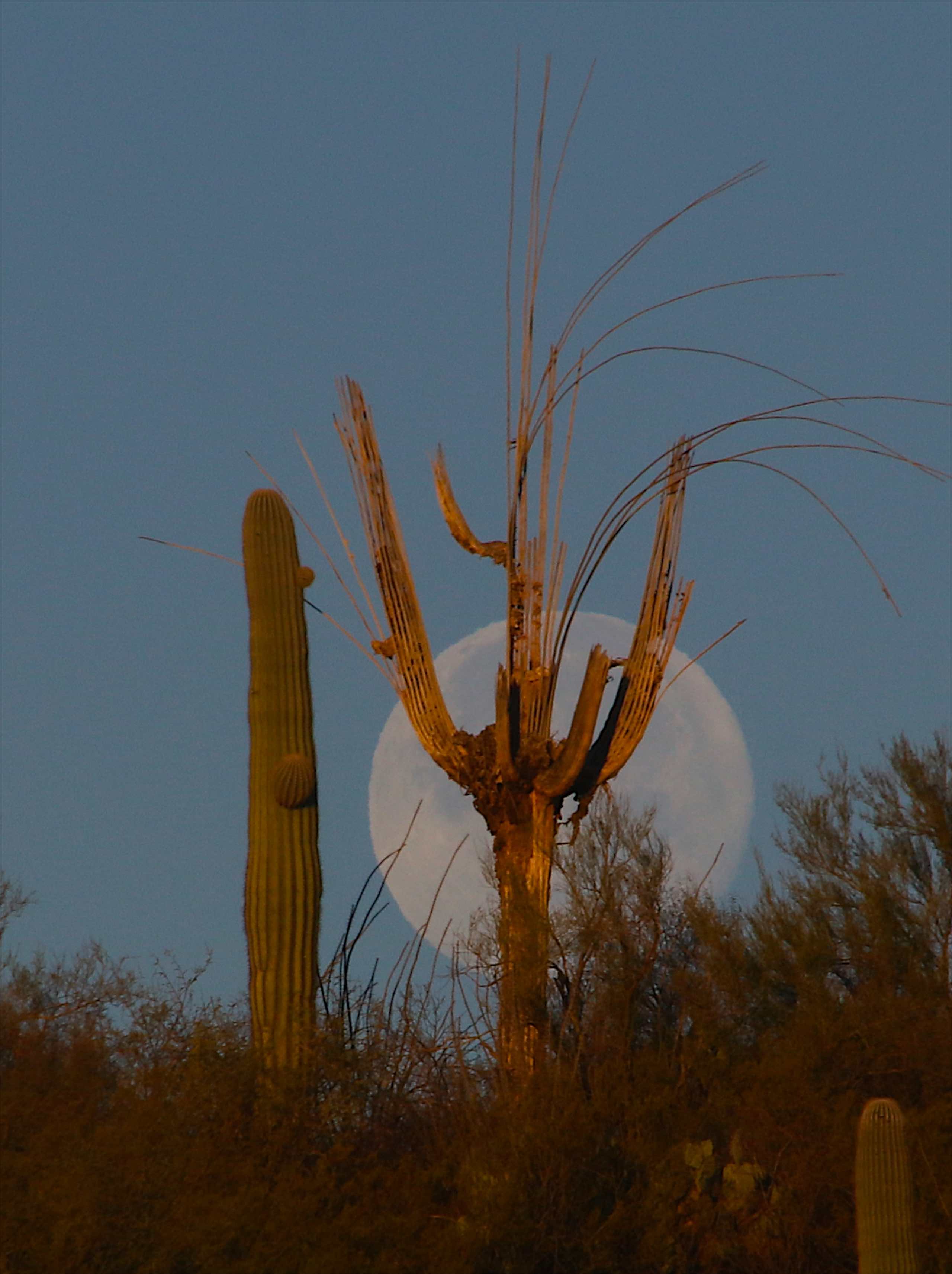
Setting "Super Moon" over Saguaro Cacti skeleton; San Pedro River Valley, Arizona
Setting "Super Moon" over Saguaro Cacti; San Pedro River Valley, Arizona
Sunset with rainclouds; San Pedro River Valley, AZ
Topographic Map of Redington Rd, Benson, AZ, USA
Find elevation by address:

Places near Redington Rd, Benson, AZ, USA:
16701 N San Pedro River Rd
16755 Redington Rd
San Manuel
406 S Ave B
905 W 3rd Ave
620 W 3rd Ave
603 W 4th Ave
East Vanessa Way
33800 S Cody Hills Rd
North Redington Road
North Redington Road
North Redington Road
North Redington Road
North Redington Road
33989 S Apache Girl Trail
Bassett Peak
35406 S Mt Lemmon Rd
Willow Canyon
Mount Bigelow
Kennedy Peak
Recent Searches:
- Elevation of N, Mt Pleasant, UT, USA
- Elevation of 6 Rue Jules Ferry, Beausoleil, France
- Elevation of Sattva Horizon, 4JC6+G9P, Vinayak Nagar, Kattigenahalli, Bengaluru, Karnataka, India
- Elevation of Great Brook Sports, Gold Star Hwy, Groton, CT, USA
- Elevation of 10 Mountain Laurels Dr, Nashua, NH, USA
- Elevation of 16 Gilboa Ln, Nashua, NH, USA
- Elevation of Laurel Rd, Townsend, TN, USA
- Elevation of 3 Nestling Wood Dr, Long Valley, NJ, USA
- Elevation of Ilungu, Tanzania
- Elevation of Yellow Springs Road, Yellow Springs Rd, Chester Springs, PA, USA