Elevation of W 3rd Ave, San Manuel, AZ, USA
Location: United States > Arizona > Pinal County > San Manuel >
Longitude: -110.63674
Latitude: 32.6018058
Elevation: 1069m / 3507feet
Barometric Pressure: 89KPa
Elevation Map:
Satellite Map:
Related Photos:
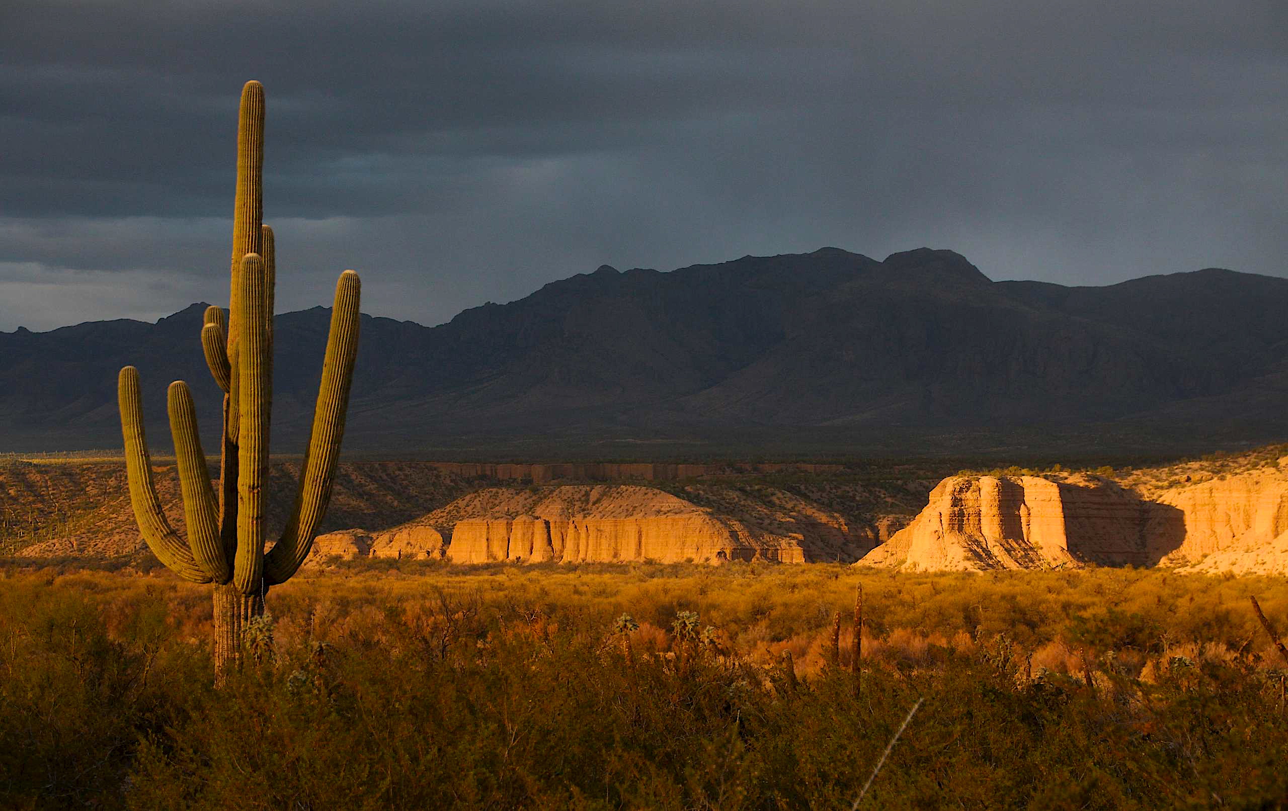
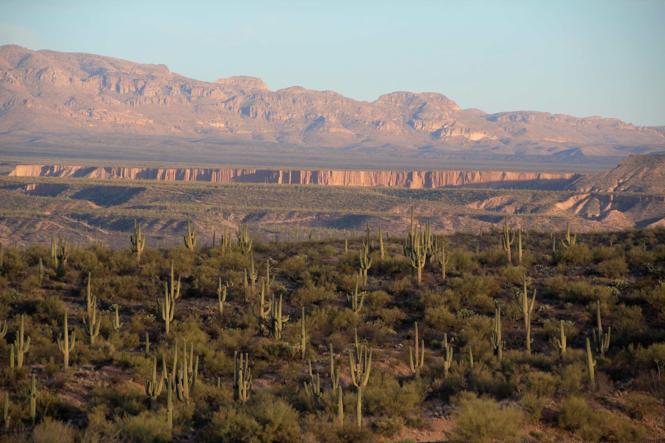
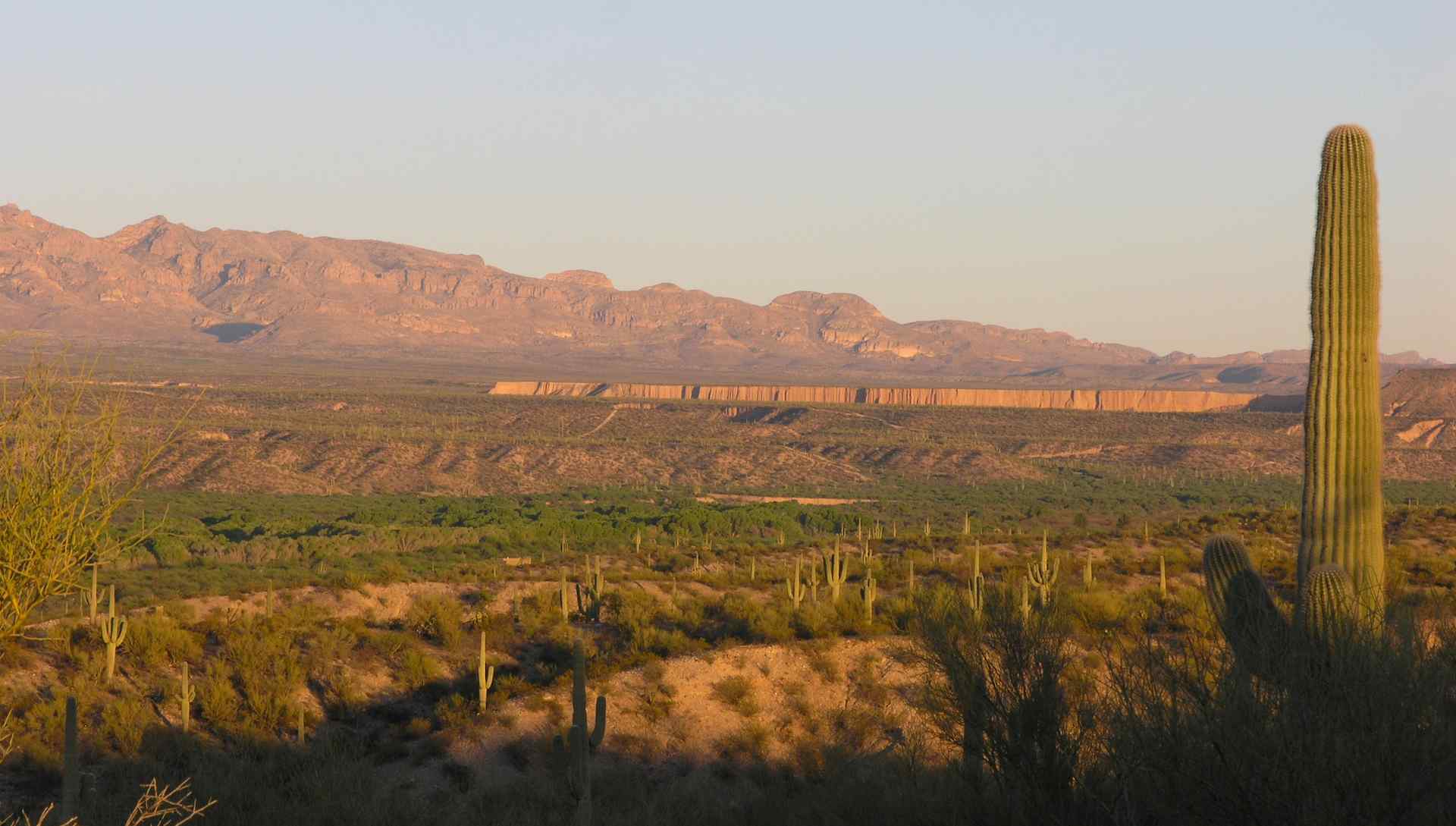
View of the Galiuro Mountains and Saguaro Cacti at sunset; San Pedro River Valley, AZ

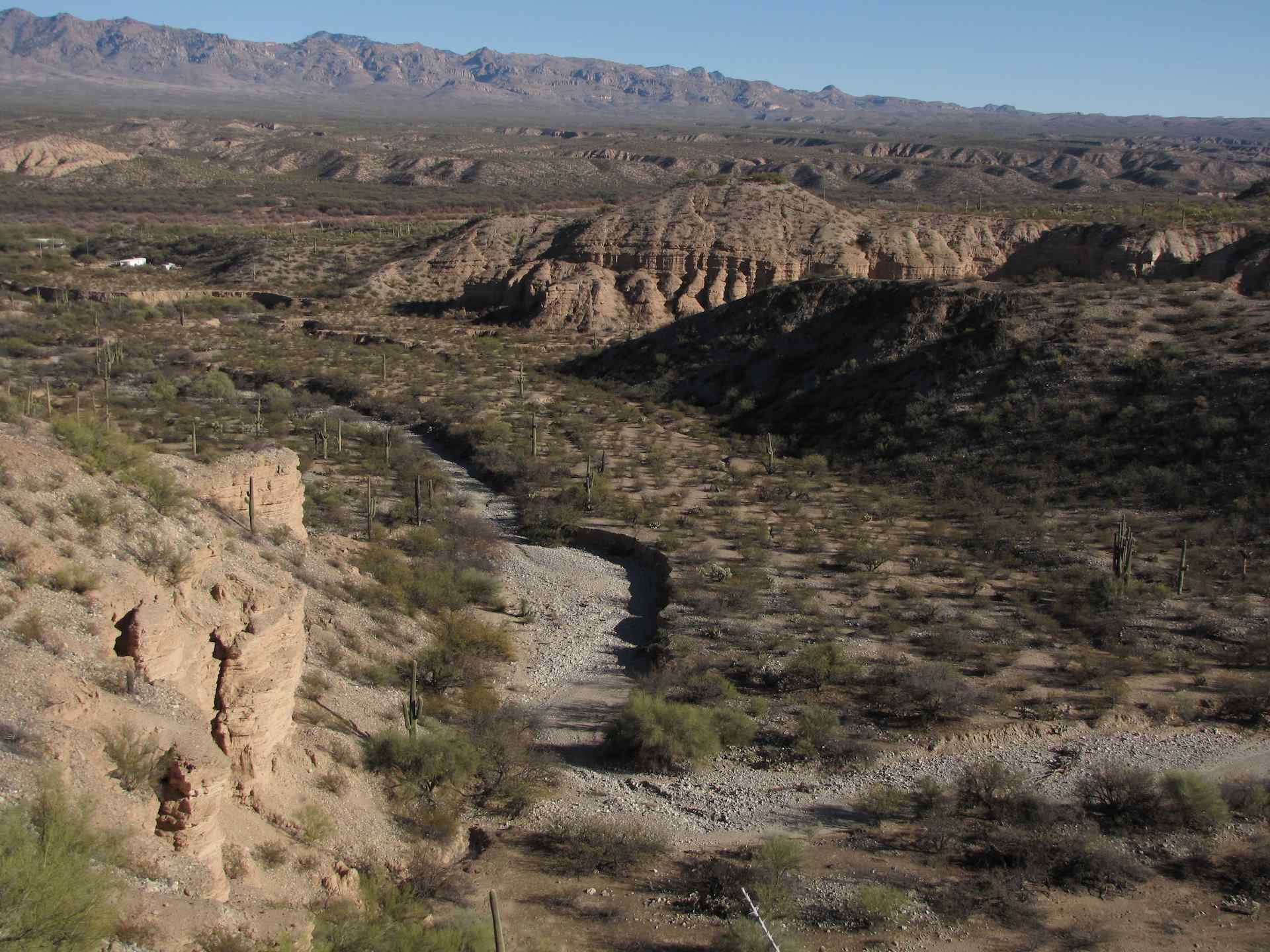
View of lower Kielberg Canyon, from ridge N of Kielberg Canyon, SE of San Manuel, AZ
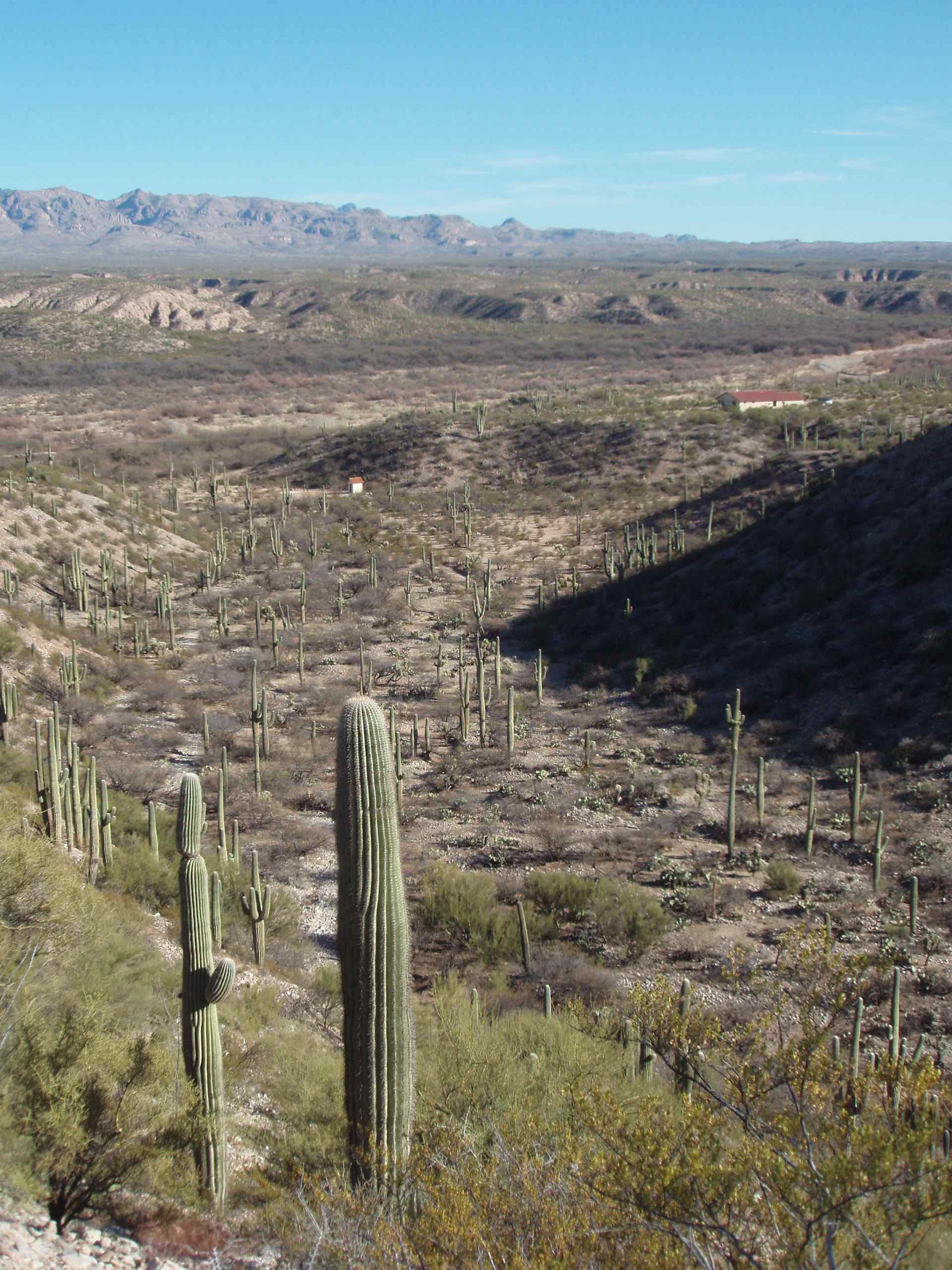
Saguaro Cacti in small wash ("Hunter's Wash") just S of Alder Wash with view of Galiuro Mountain s and entrance to Kielberg Canyon behind; SE of San Manuel, AZ
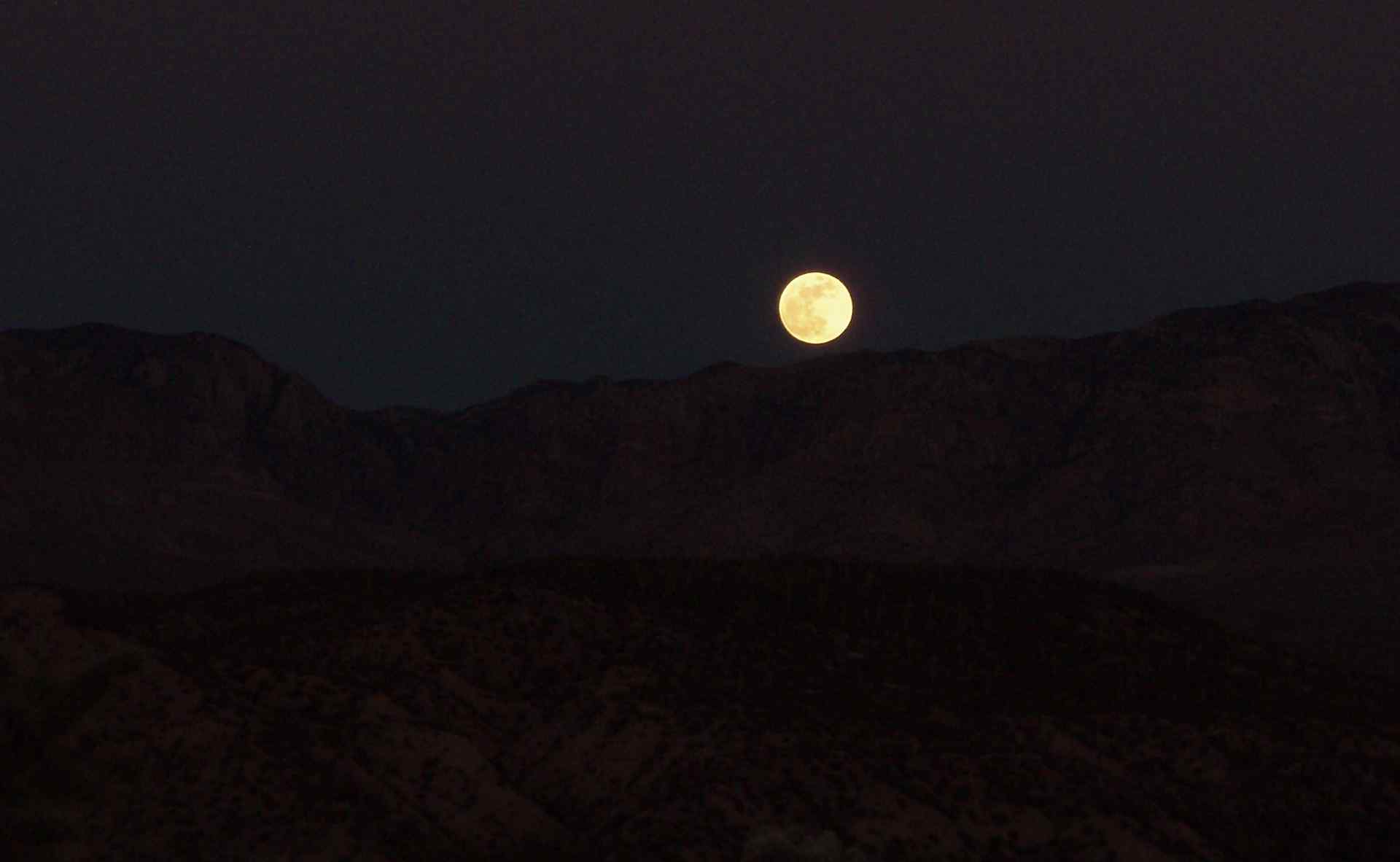
View of full moon over Galiuro Mountains, SE of San Manuel, AZ
New Year's view of snow on Galiuro Mountians from Sacaton Ranch Road, N of Kielberg Canyon, SE of San Manuel, AZ
View of Wash and San Pedro Valley with Galiuro Mountains behind; SE Arizona
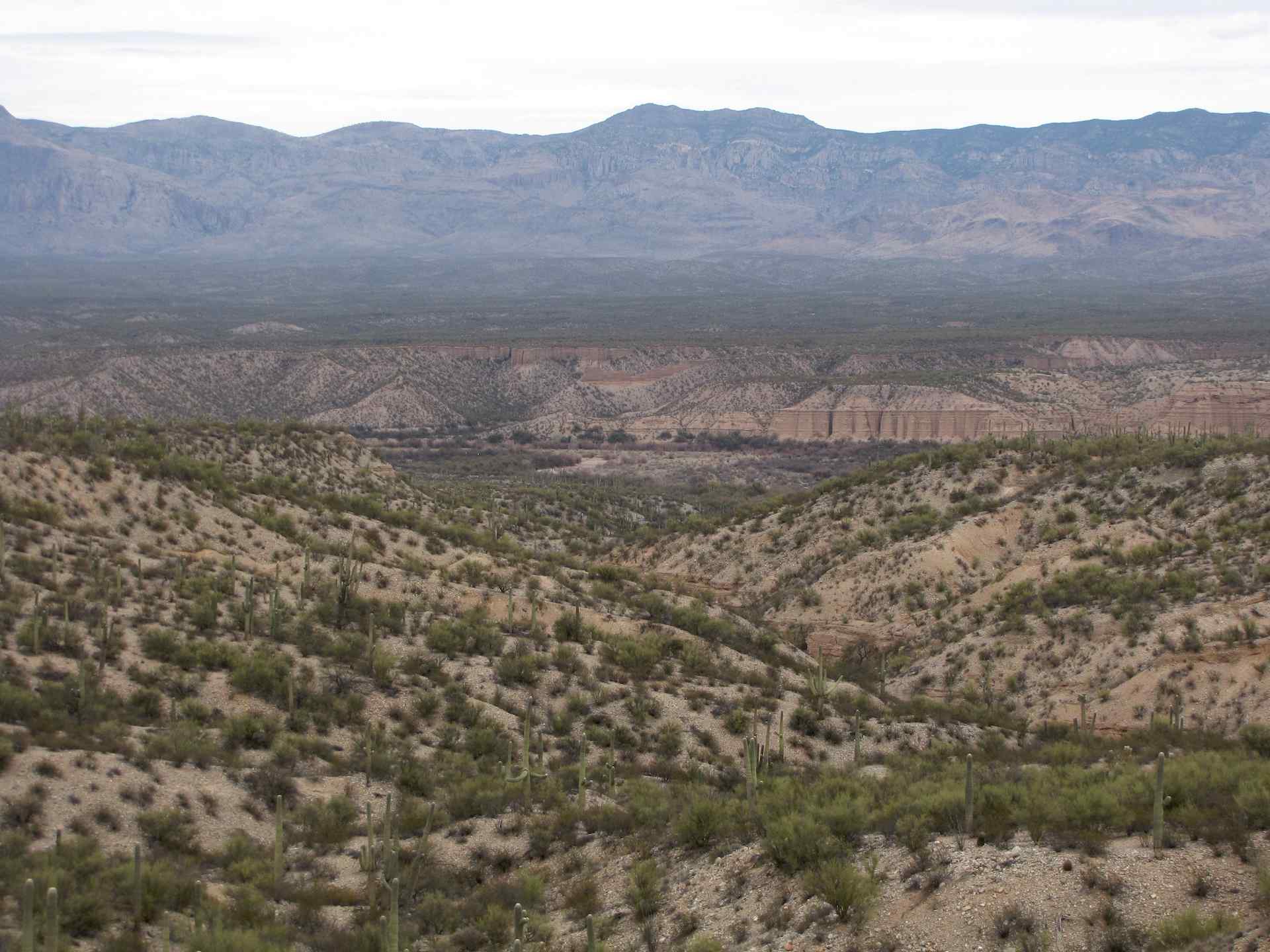
View of San Pedro River Valley and Kielberg Canyon from mesa S of Alder Wash, SE of San Manuel, AZ
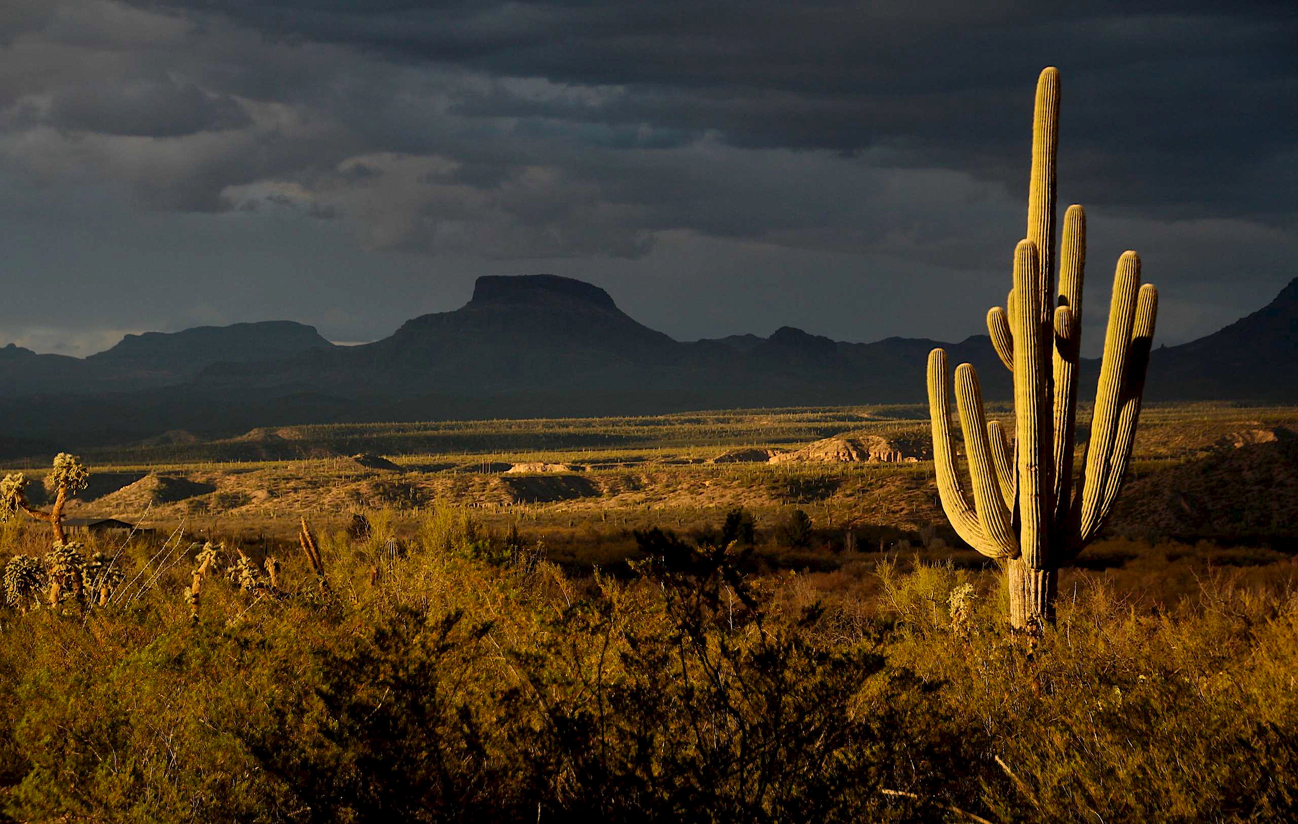
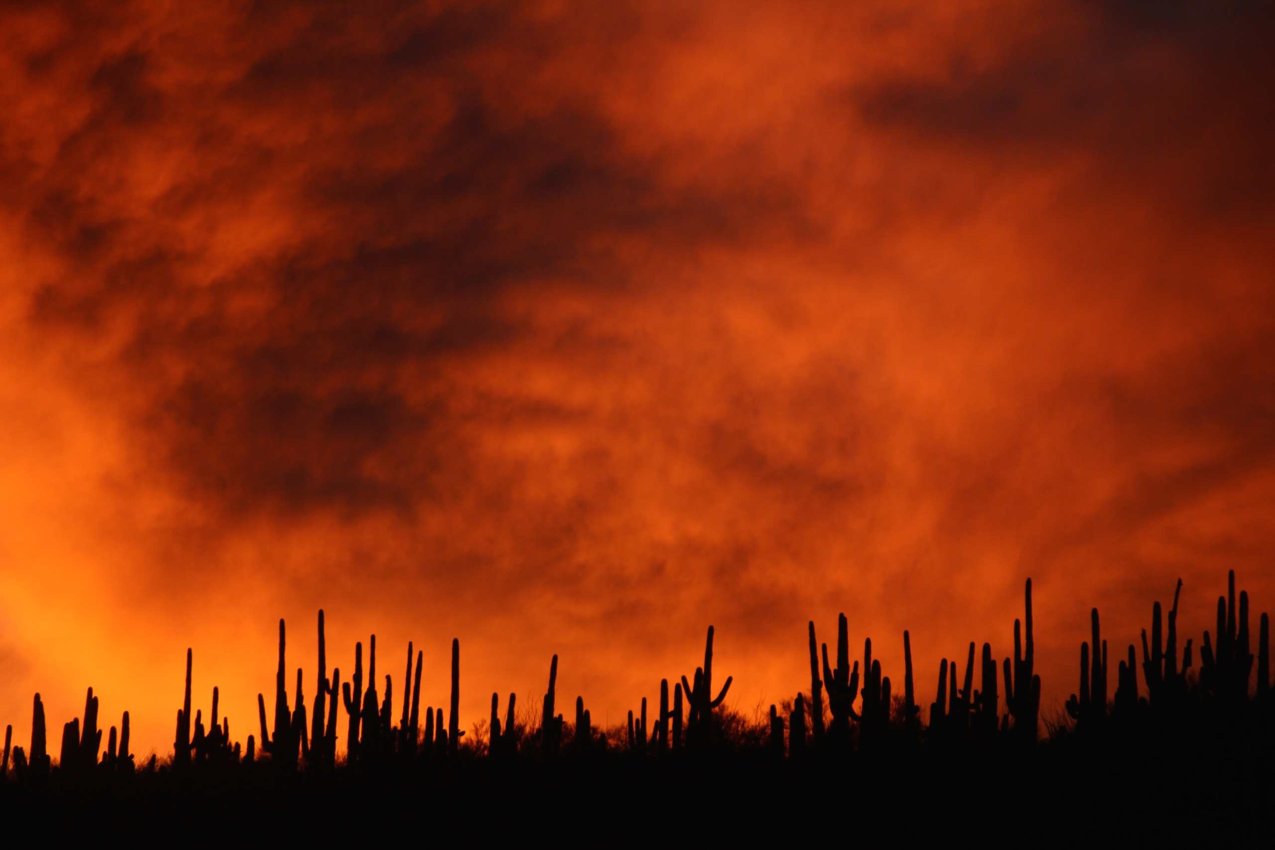
View of the Galiuro Mountains and Saguaro Cacti at sunset; San Pedro River Valley, SE of San Manuel, AZ
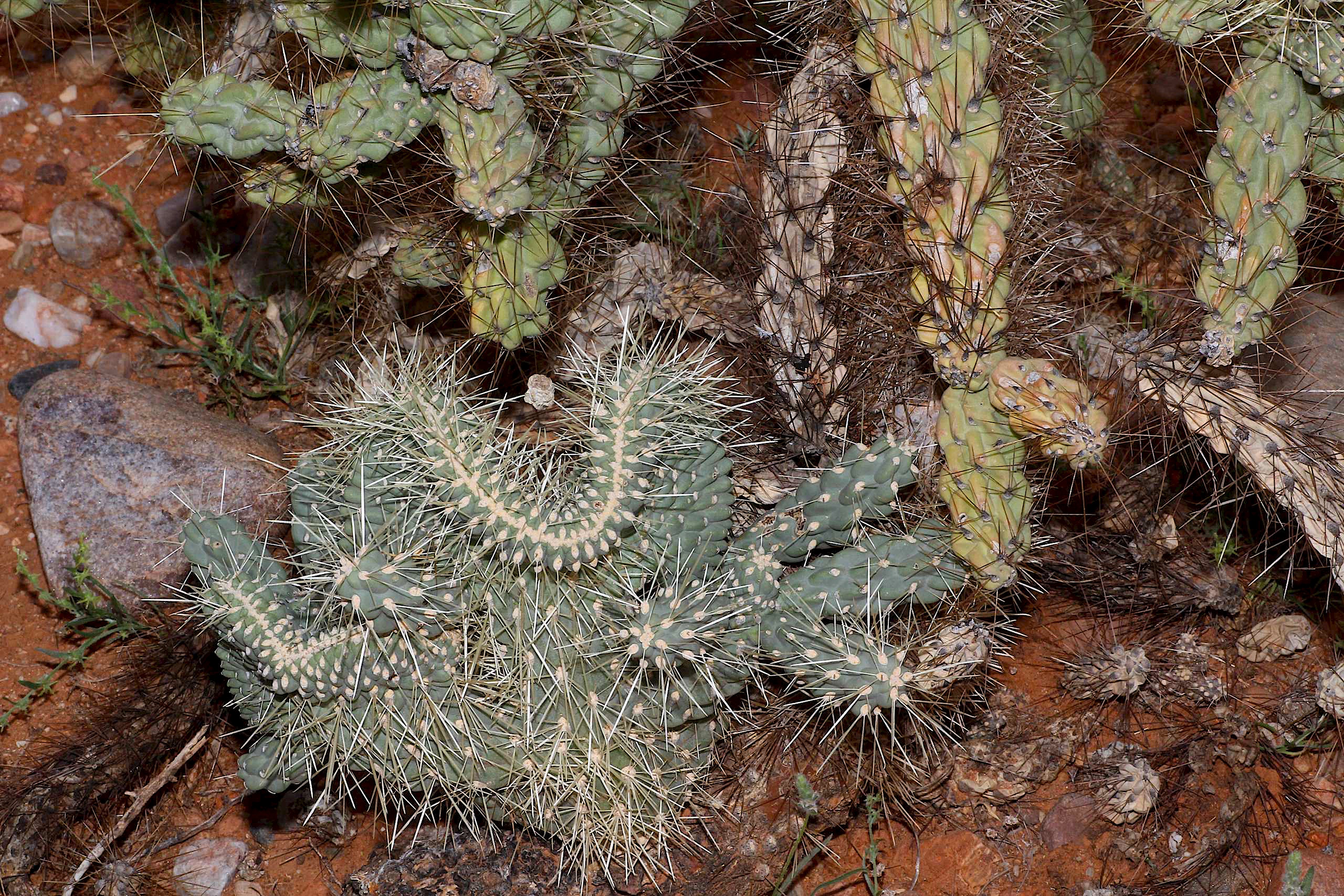
Crested Jumping Cholla Cactus (Cylindropuntia fulgida - Chain-fruit Cholla) - another view , San Pedro River Valley, AZ
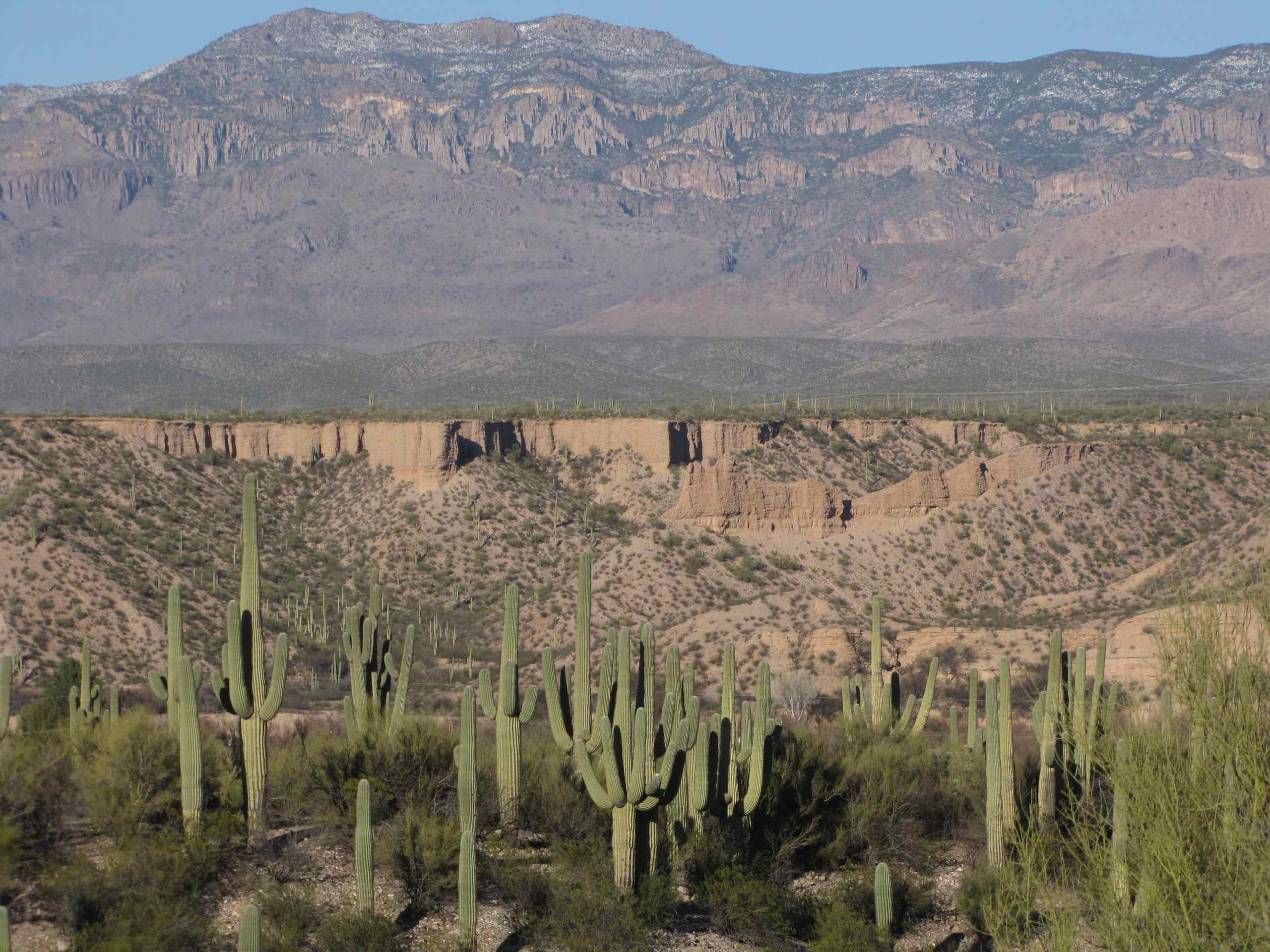
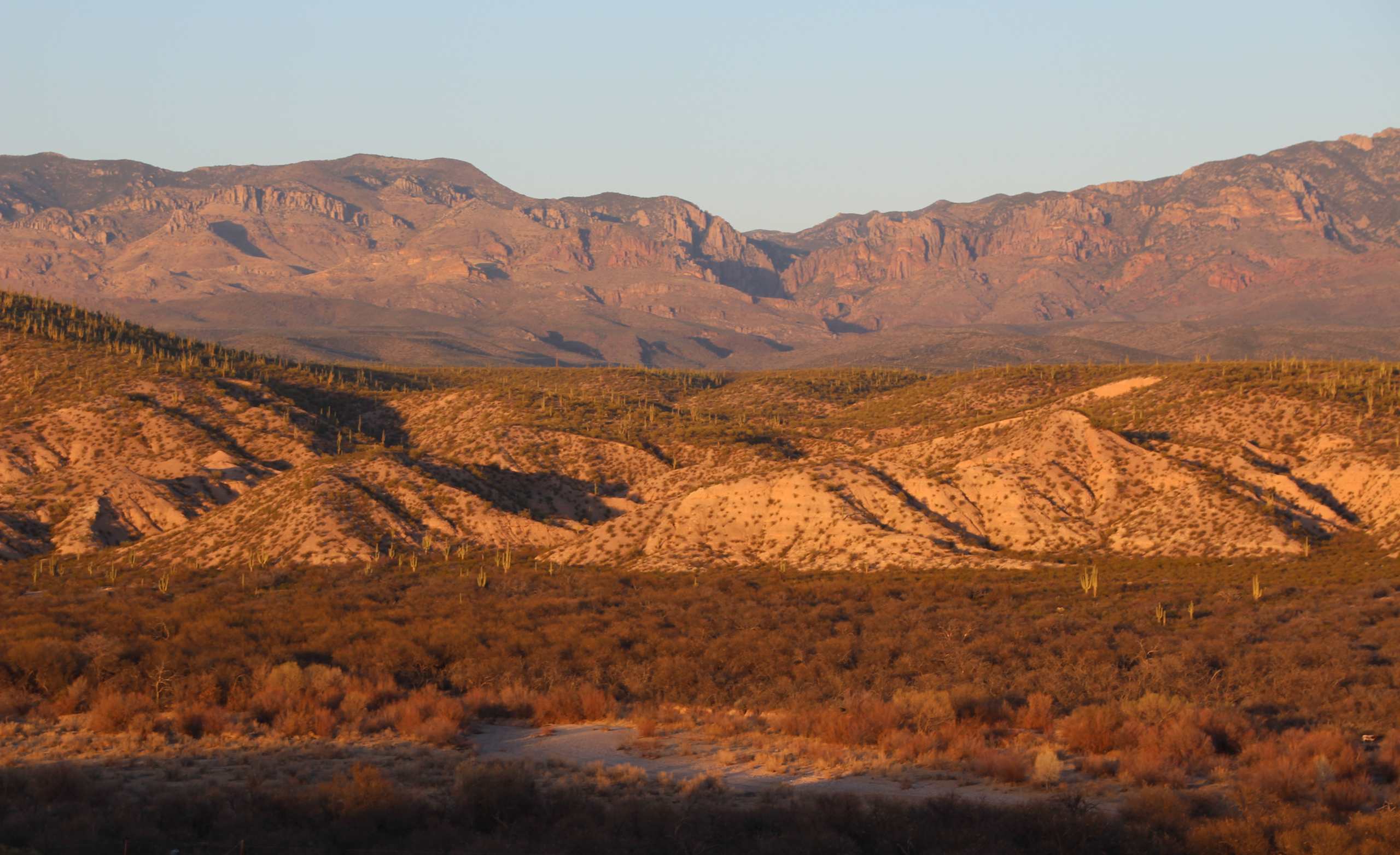
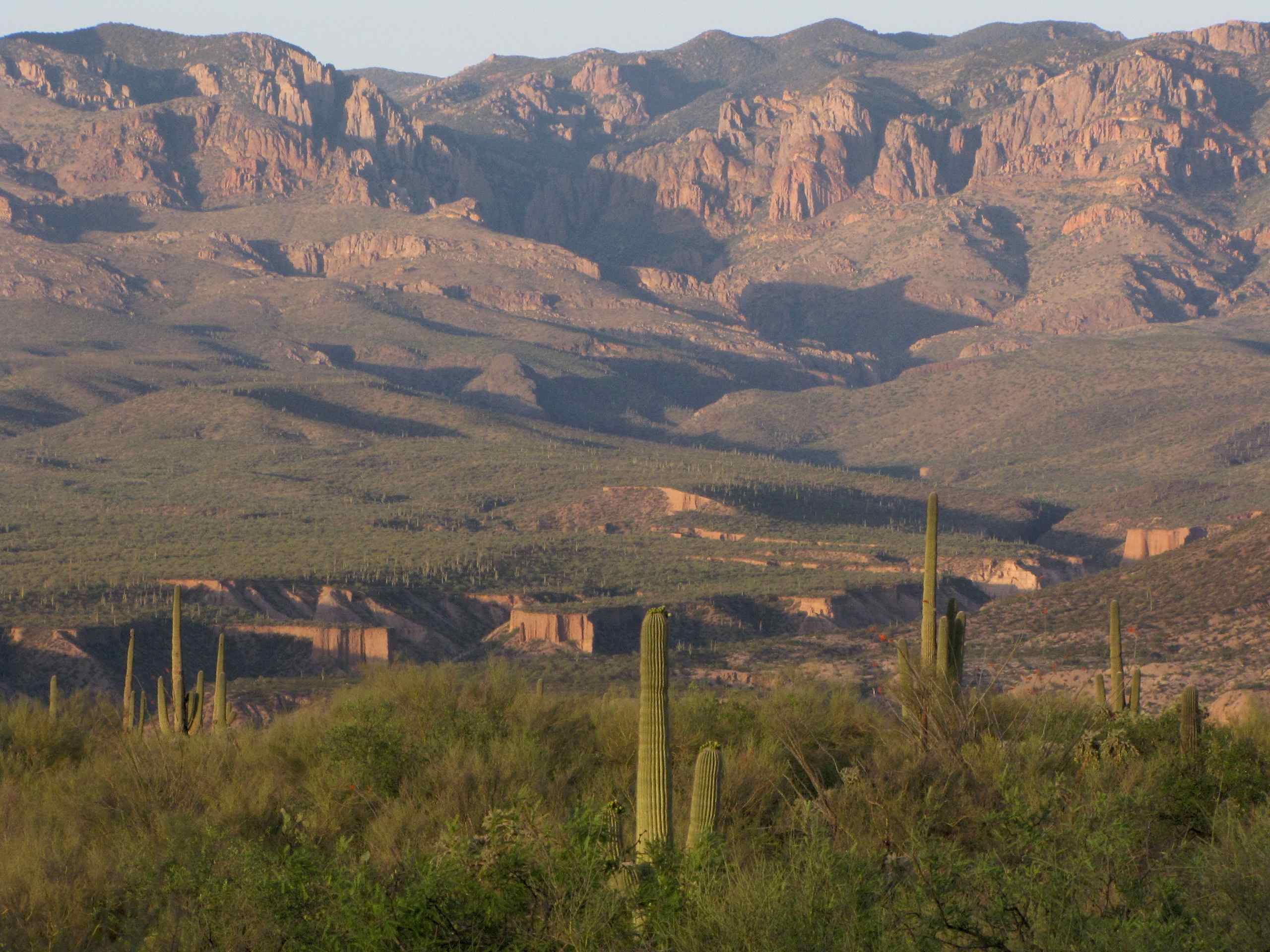
View of Galiuro Mountains and Lower Kielberg Canyon in the background; near San Manuel, AZ
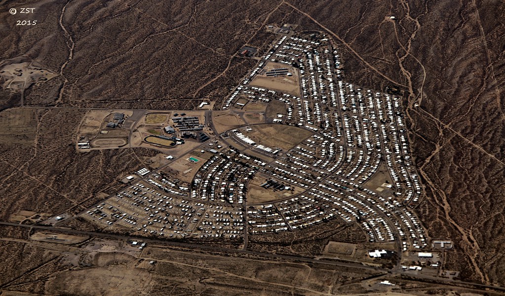
San Manuel, AZ

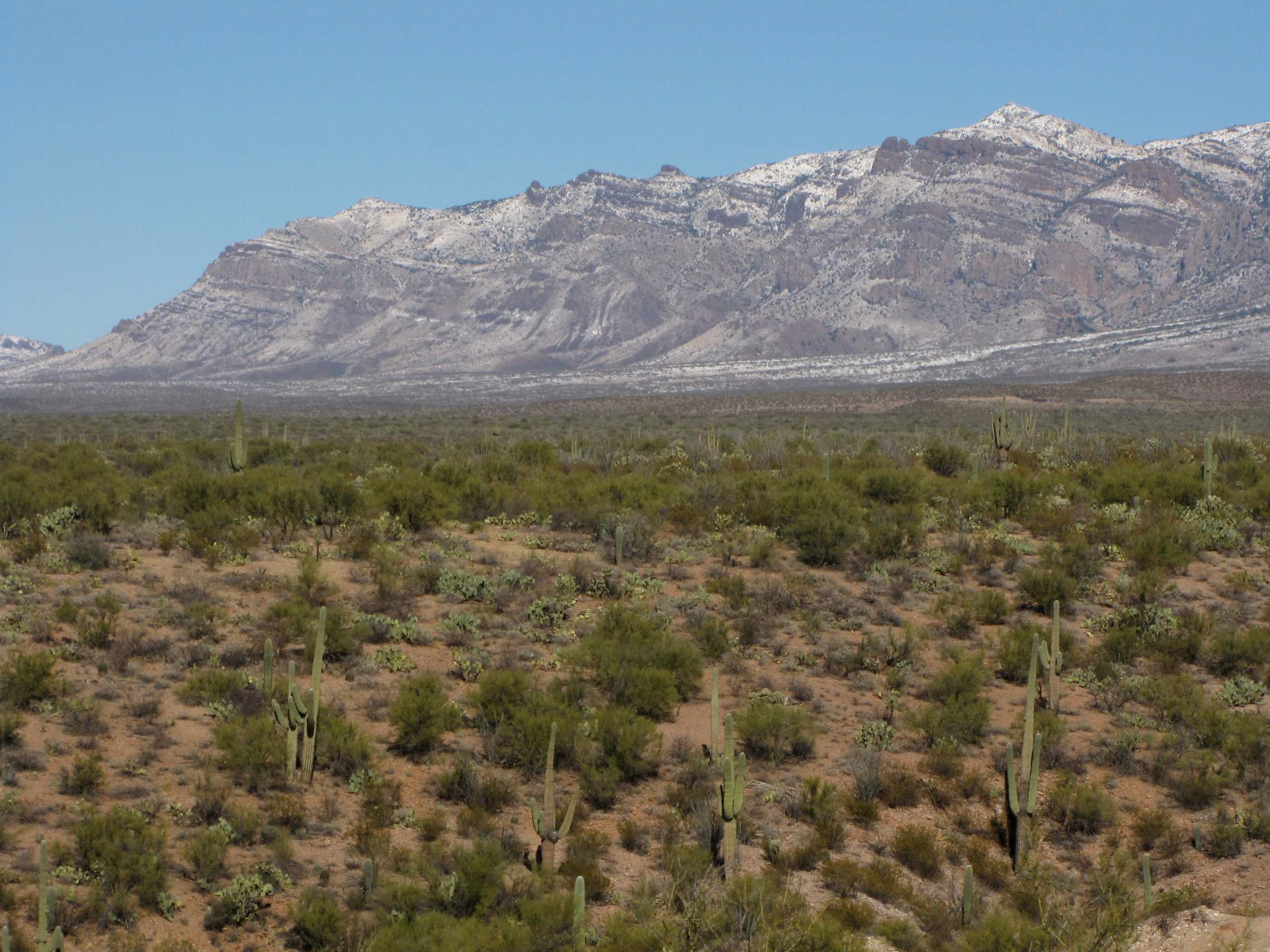
View of snow capped Galiuro Mountains; SE of San Manuel, AZ

View of turning Cottonwood leaves in San Pedro Valley from road up Cienega Wash, Galiuro Mountains, E of San Manuel, AZ
View of San Pedro River Valley and Galiuro Mountains near sunset; SE of San Manuel, AZ

View of San Pedro valley with mesquite trees turning color; from Sacaton Ranch Road, SE of San Manuel, AZ
View of Sagauro Cacti and San Pedro Valley at dawn; SE of San Manuel, AZ
View of Galiuro Mountains and San Pedro River valley
View of Kielberg Canyon and Galiuro Mountains from ridge N of Alder Wash, SE of San Manuel, AZ
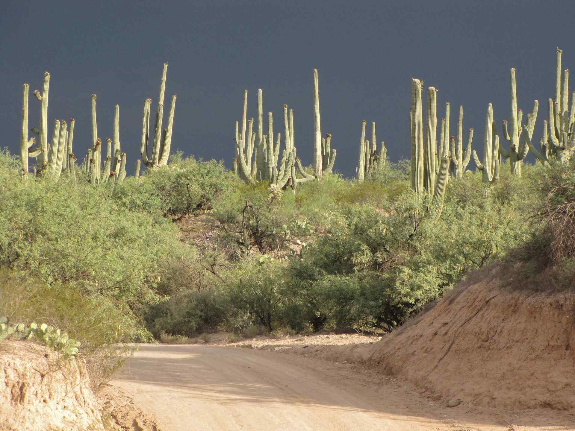
Saguaro Cacti in sunshine before a storm - SE Arizona
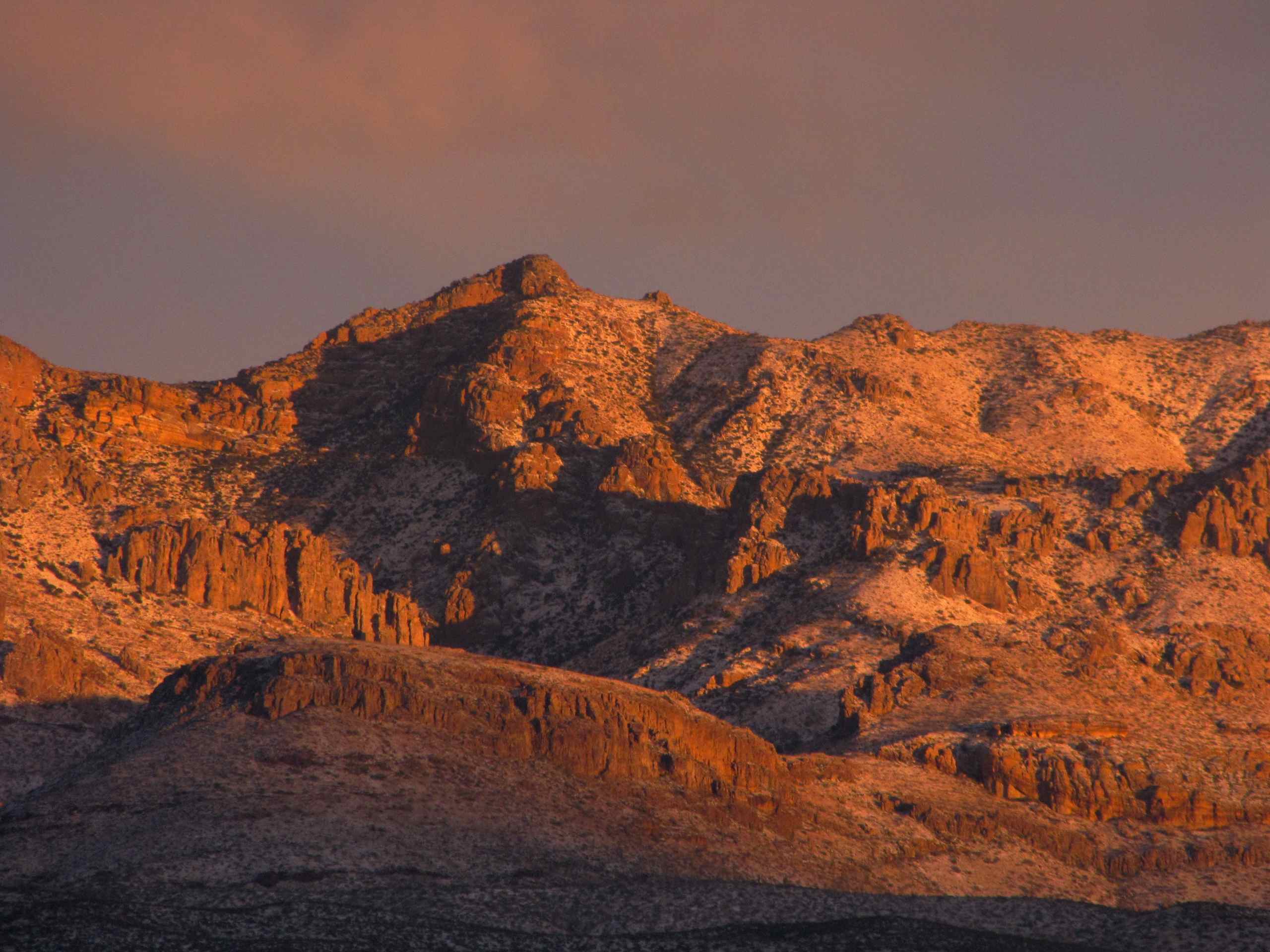
View of snow capped Galiuro Mountains and Kielberg Canyon; SE of San Manuel, AZ

Catching air
Sunset over Saguaro Cacti - San Pedro River Valley

Flowering Ocotillo (Fouquieria splendens); San Pedro River Valley, AZ
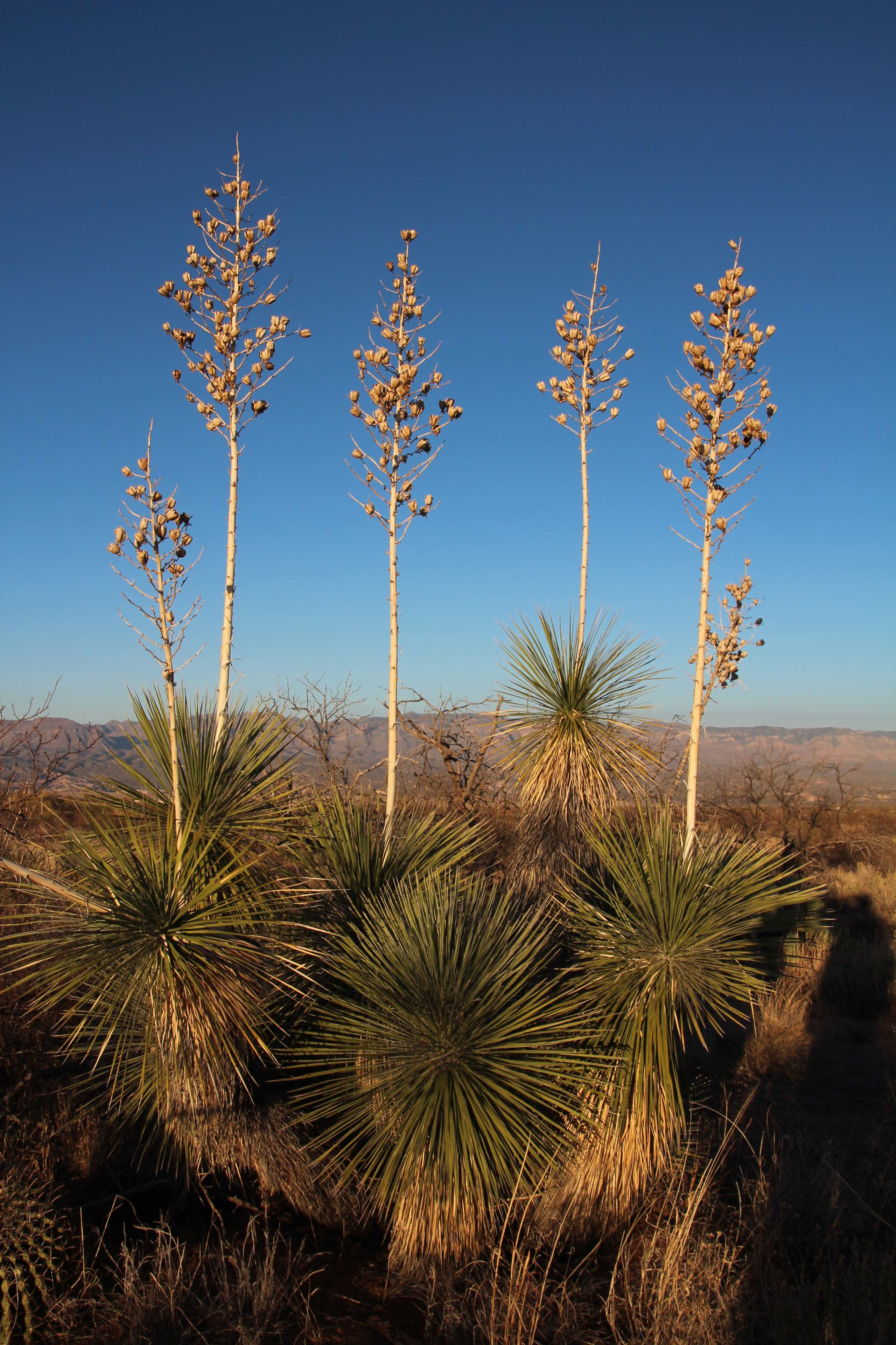
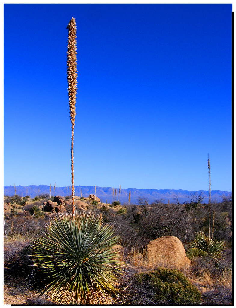
Soaptree Yucca (Yucca elata - Palmilla); S of San Manuel, AZ
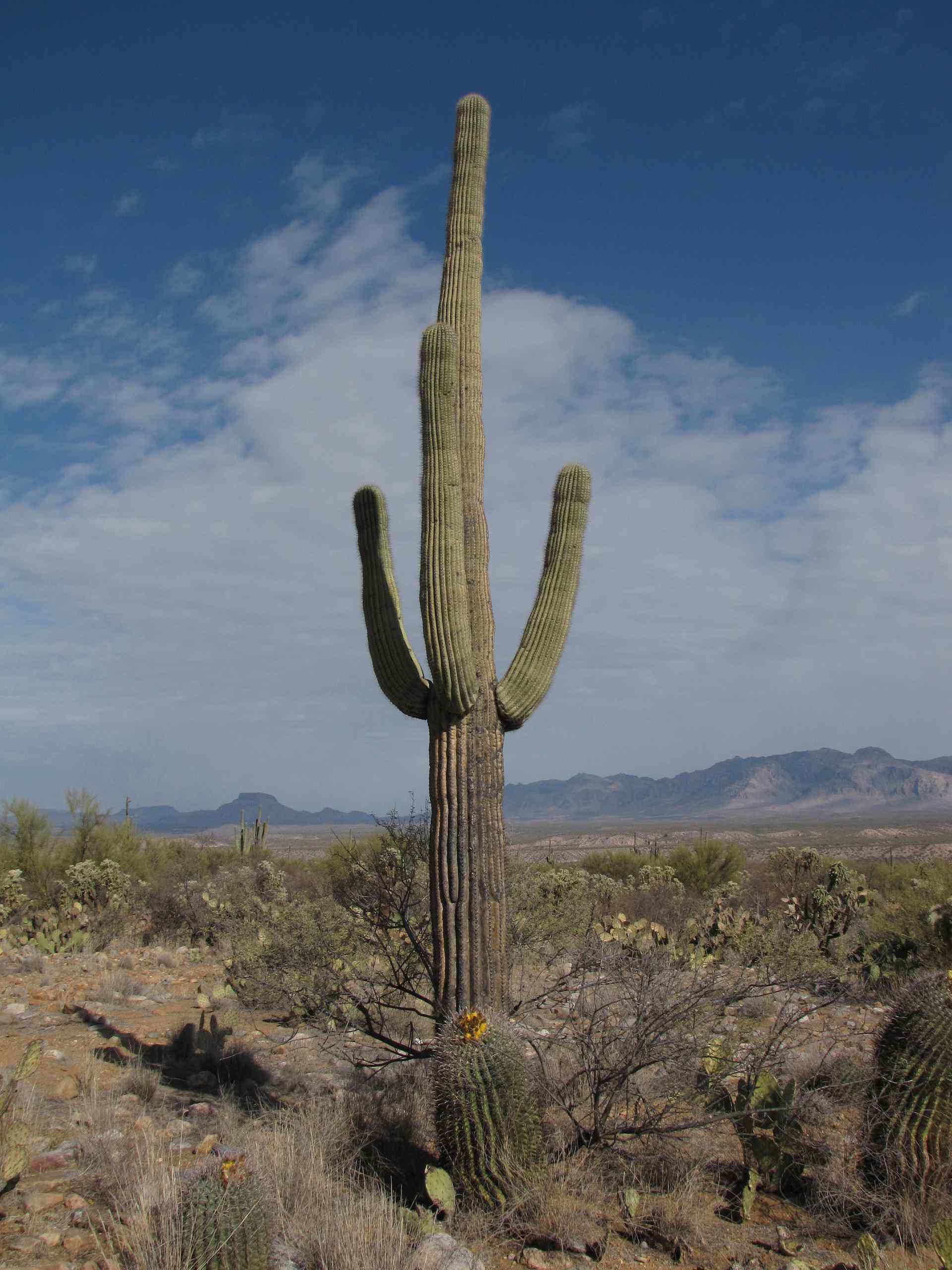
Saguaro Cactus; Alder Wash, SE of San Manuel, AZ

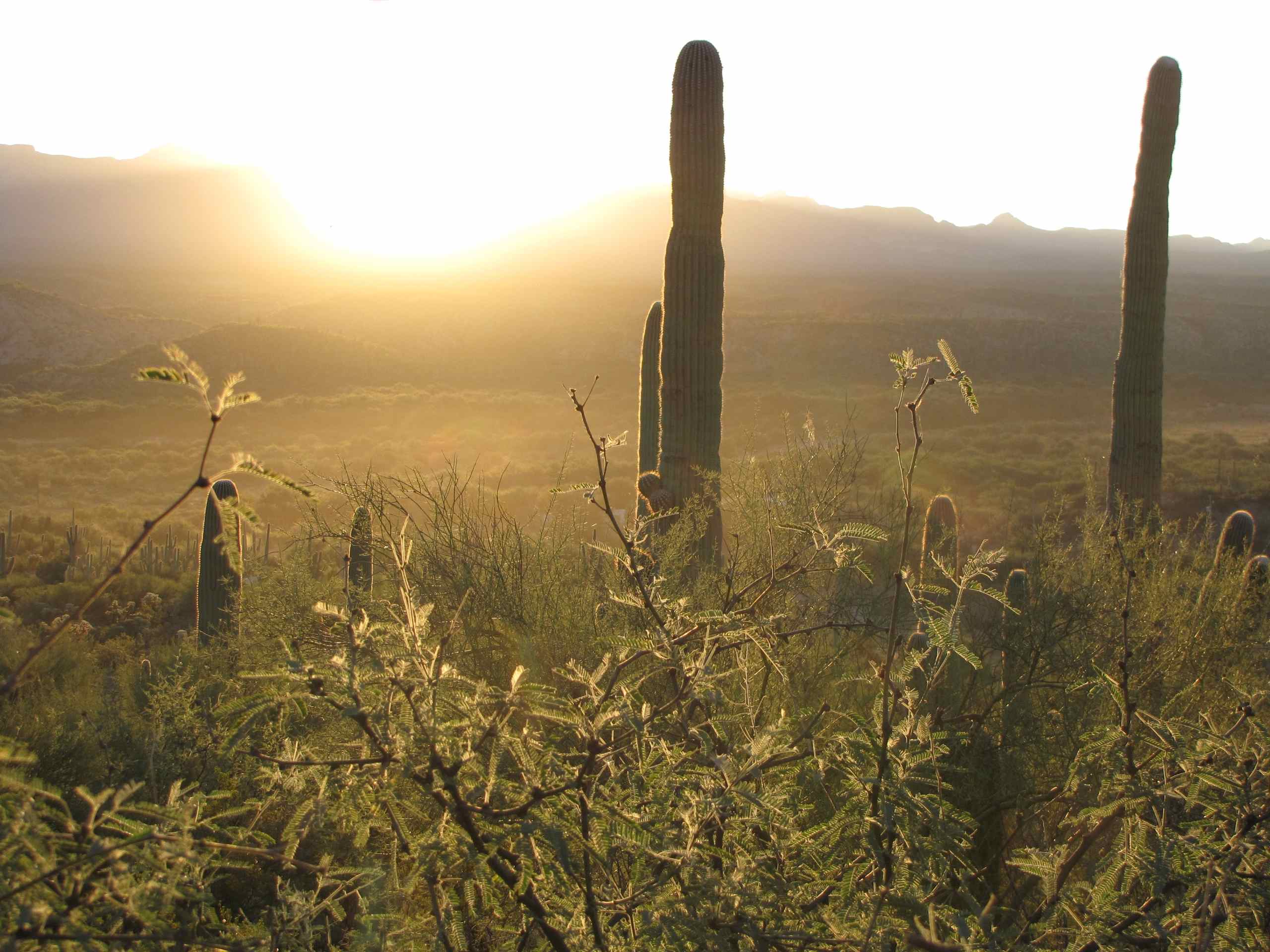
Setting sun on Saguaro Cacti and Galiuro Mountains behind; SE of San Manuel, AZ
Soaptree Yucca (Yucca elata - Palmilla); wash N of San Manuel, AZ
San Pedro River Valley, SE of San Manuel, AZ
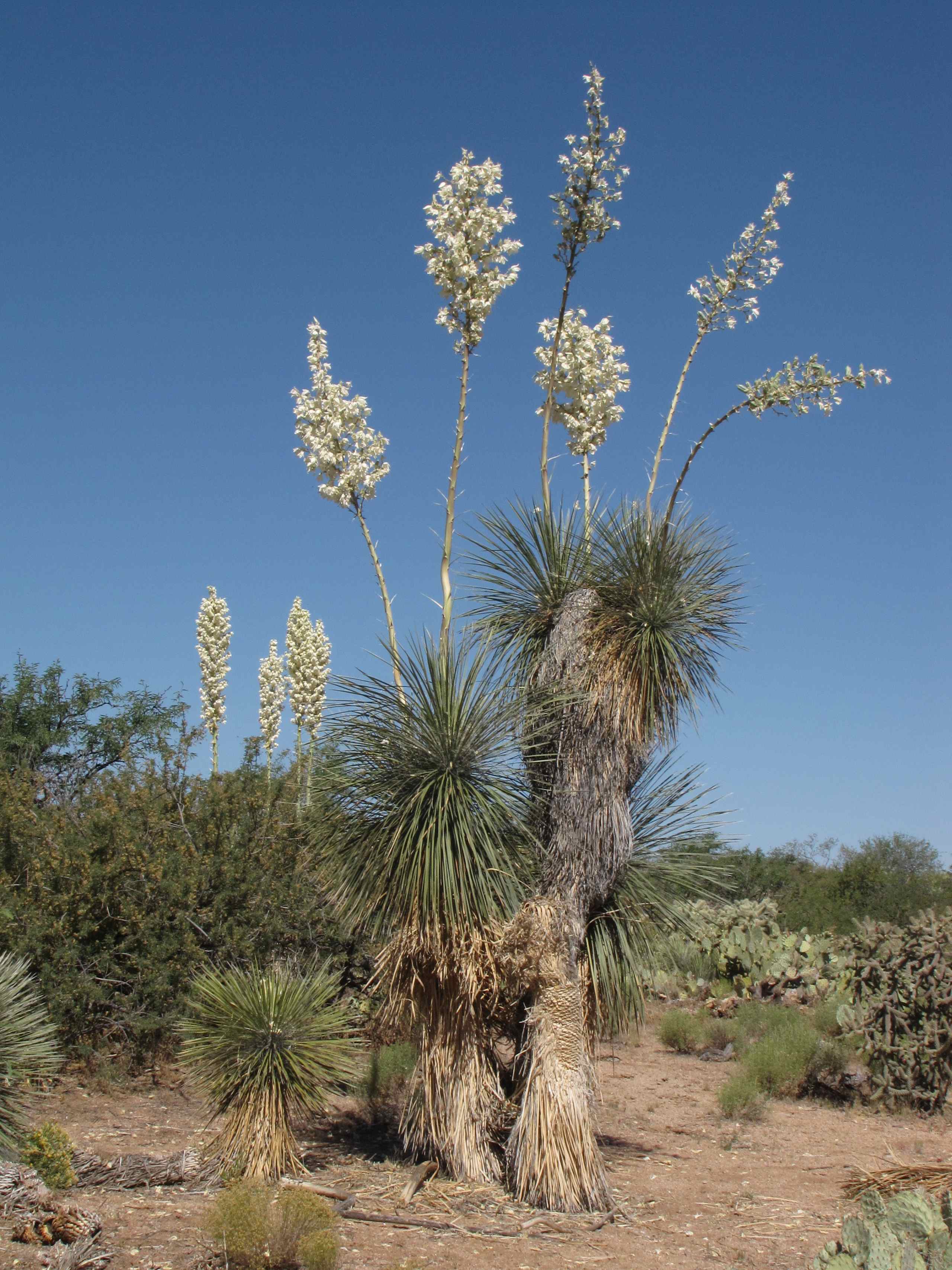
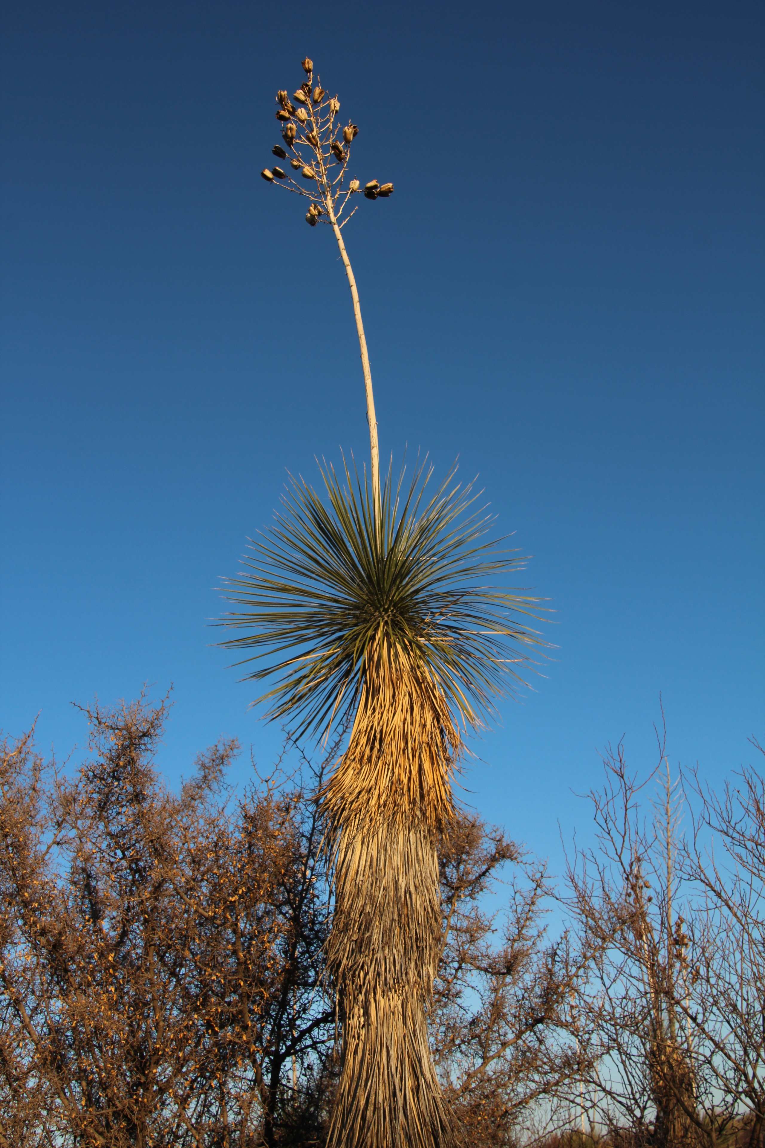
Flowering Soaptree Yucca (Yucca elata); desert W of San Manuel, AZ

Sunset over the Galiuro Mountains
Pointing at the Sky

Oracle Ridge Trail
Topographic Map of W 3rd Ave, San Manuel, AZ, USA
Find elevation by address:

Places near W 3rd Ave, San Manuel, AZ, USA:
905 W 3rd Ave
603 W 4th Ave
San Manuel
406 S Ave B
North Redington Road
North Redington Road
North Redington Road
North Redington Road
North Redington Road
East Vanessa Way
33800 S Cody Hills Rd
33989 S Apache Girl Trail
86160 E Bentwood St
35406 S Mt Lemmon Rd
Oracle State Park
33550 S Highjinks Rd
Main St, Mammoth, AZ, USA
Mammoth
500 N Cody Loop Rd
333 N John Adams St
Recent Searches:
- Elevation of Zimmer Trail, Pennsylvania, USA
- Elevation of 87 Kilmartin Ave, Bristol, CT, USA
- Elevation of Honghe National Nature Reserve, QP95+PJP, Tongjiang, Heilongjiang, Jiamusi, Heilongjiang, China
- Elevation of Hercules Dr, Colorado Springs, CO, USA
- Elevation of Szlak pieszy czarny, Poland
- Elevation of Griffing Blvd, Biscayne Park, FL, USA
- Elevation of Kreuzburger Weg 13, Düsseldorf, Germany
- Elevation of Gateway Blvd SE, Canton, OH, USA
- Elevation of East W.T. Harris Boulevard, E W.T. Harris Blvd, Charlotte, NC, USA
- Elevation of West Sugar Creek, Charlotte, NC, USA