Elevation of Red Stripe Township, AR, USA
Location: United States > Arkansas > Stone County >
Longitude: -91.939243
Latitude: 35.8233239
Elevation: 188m / 617feet
Barometric Pressure: 99KPa
Elevation Map:
Satellite Map:
Related Photos:
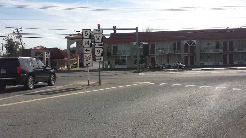
5/9 Split
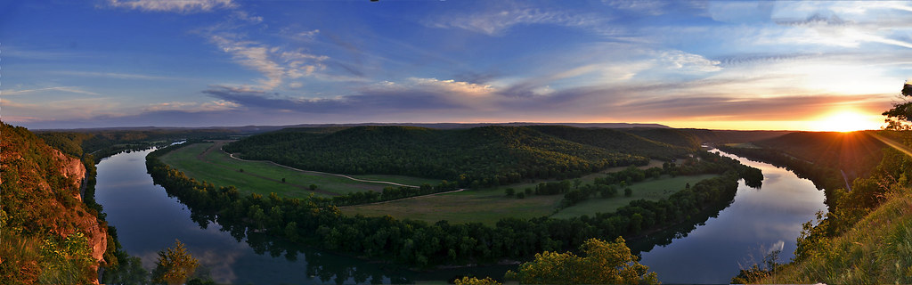
A Bend in the River a view from Painters Bluff in Arkansas (Press "L")
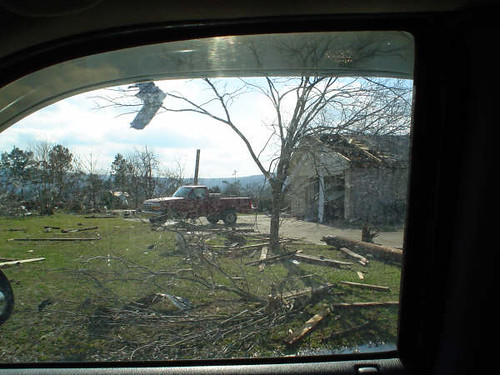
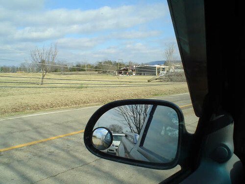
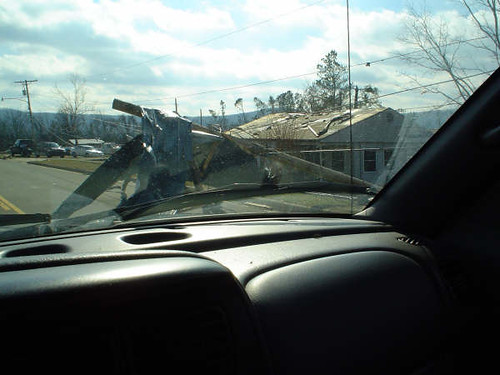
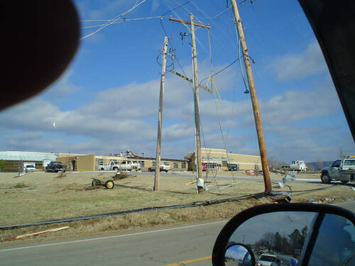
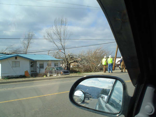
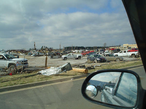
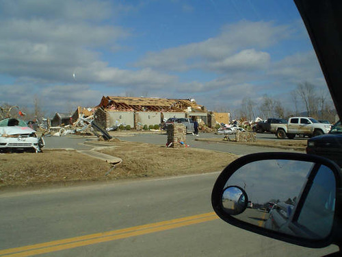
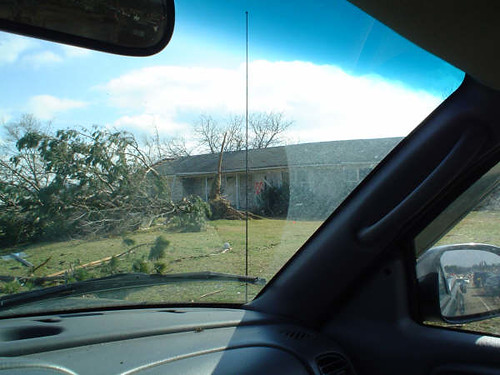
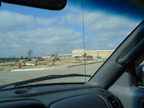
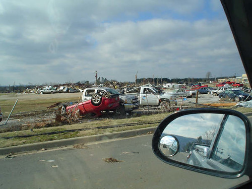
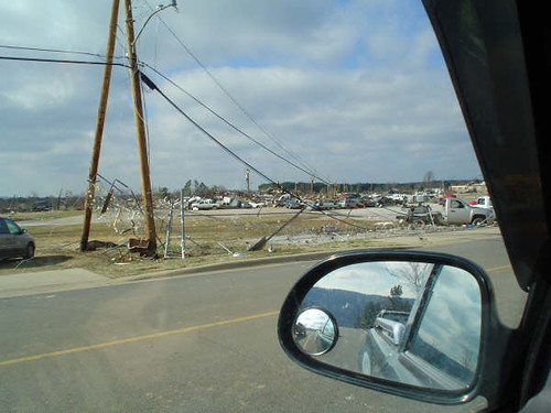
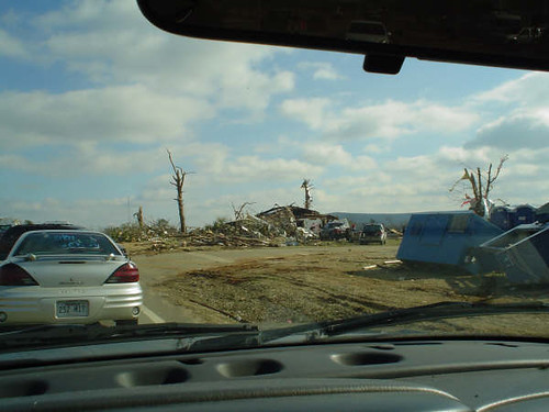
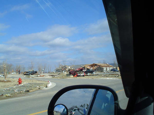
Mt. View Tornado (45)

Mt. View Tornado (14)
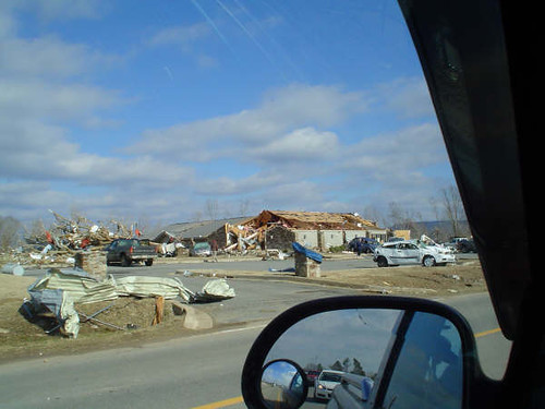
Mt. View Tornado (39)
Mt. View Tornado (26)
Mt. View Tornado (49)
Mt. View Tornado (31)
Mt. View Tornado (4)
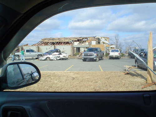
Mt. View Tornado (16)
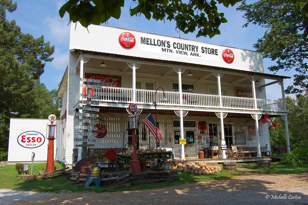
Mellon's Country Store
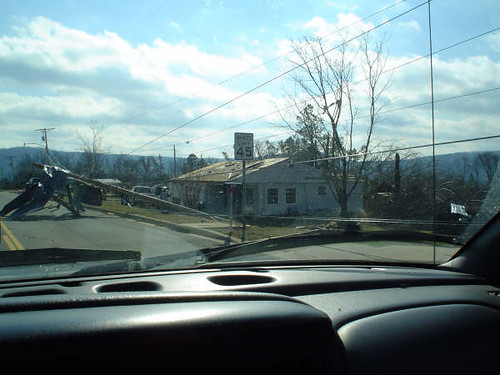
Mt. View Tornado (48)
Mt. View Tornado (23)
Mt. View Tornado (9)
Mt. View Tornado (40)
Mt. View Tornado (43)
Mt. View Tornado (19)
Mt. View Tornado (8)
Mt. View Tornado (6)
Mt. View Tornado (32)
Mt. View Tornado (37)
_NEJ4396_20090202_091918.JPG
_NEJ4415_20090202_092518.JPG
_NEJ4384_20090202_091636.JPG
_NEJ4385_20090202_091644.JPG
_NEJ4387_20090202_091718.JPG
_NEJ4381_20090202_091530.JPG
_NEJ4409_20090202_092342.JPG
_NEJ4406_20090202_092214.JPG
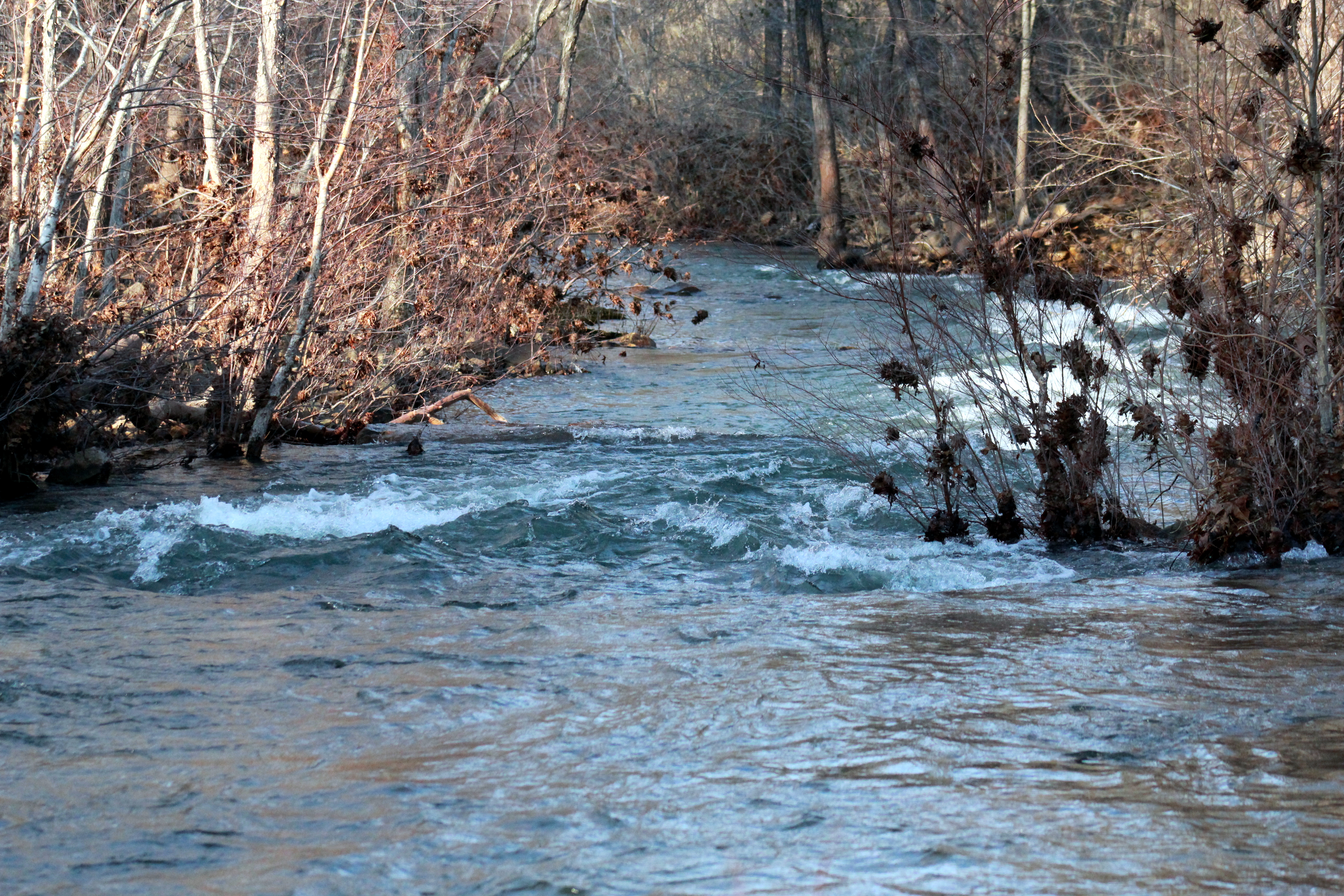
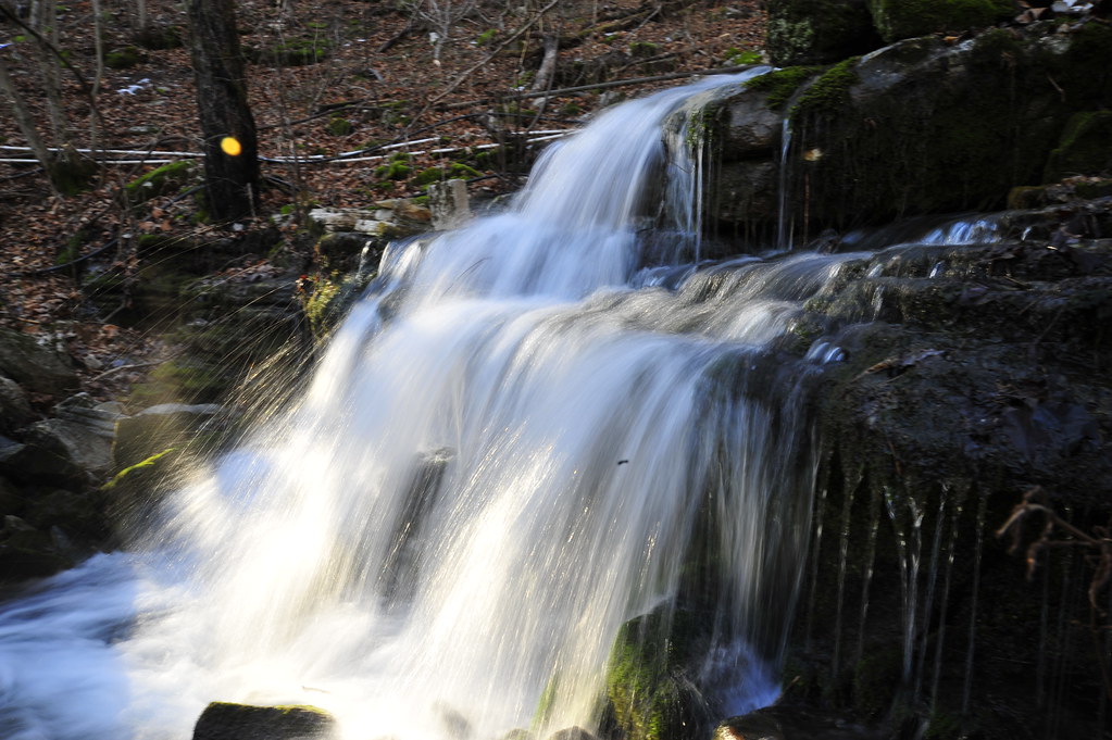
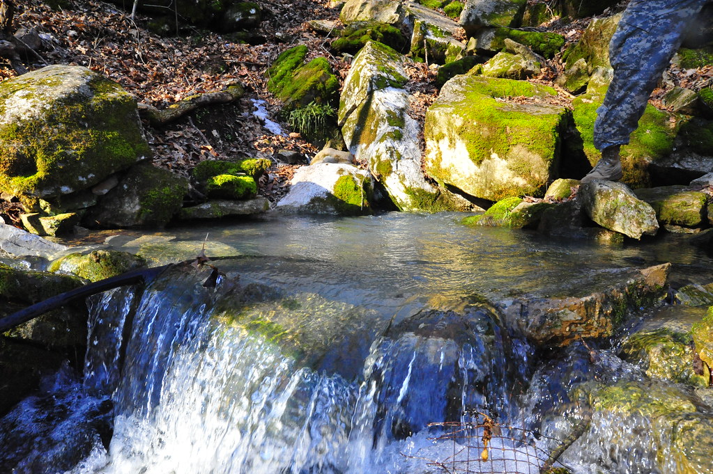
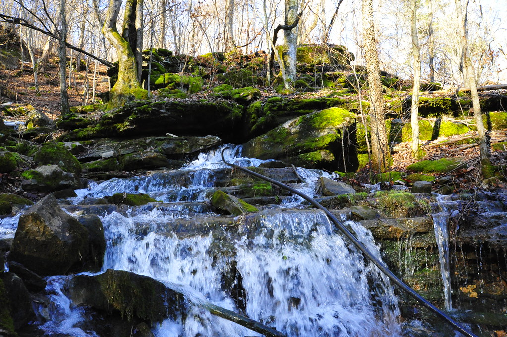
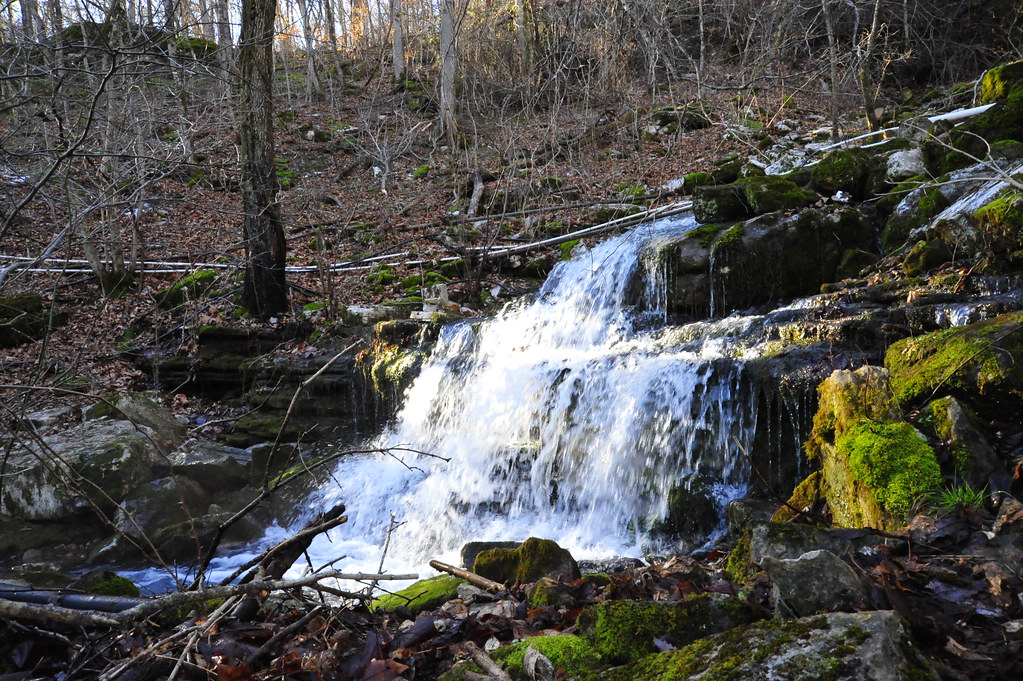
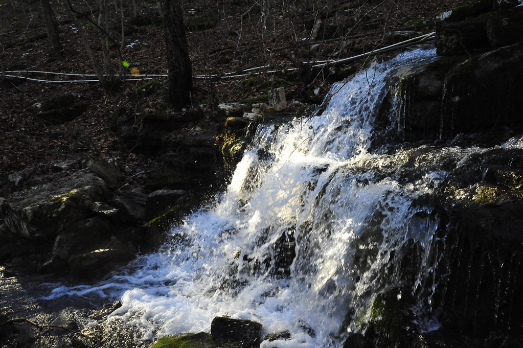
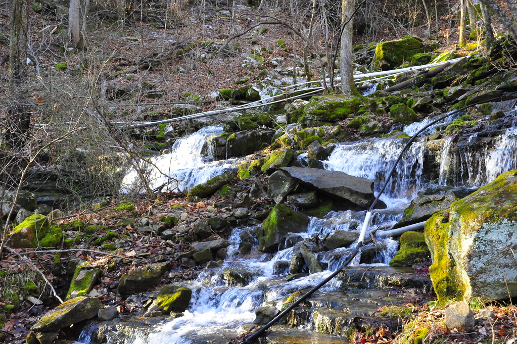
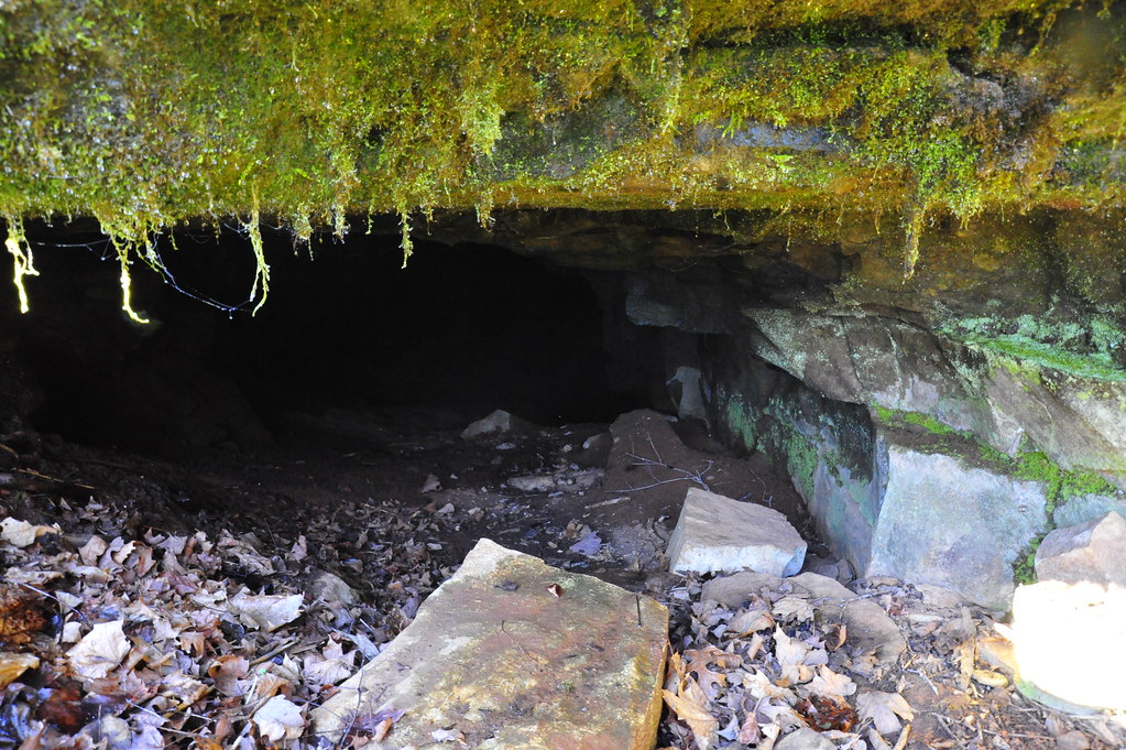
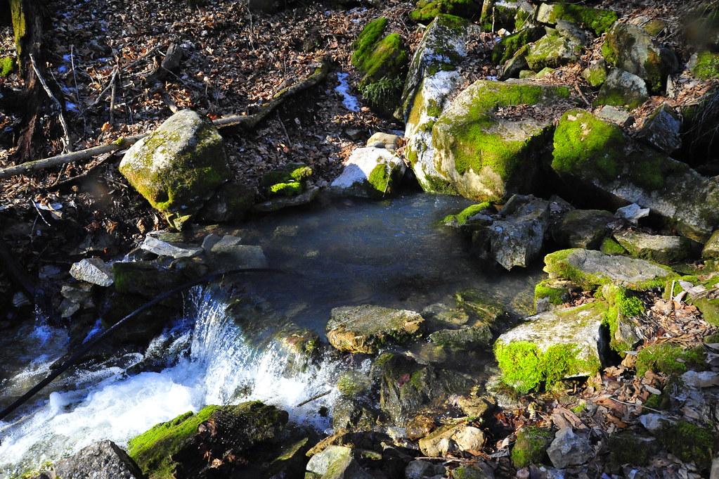
Marcella Creek 2
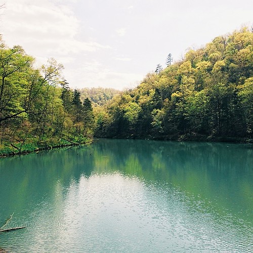
Spring waters
Topographic Map of Red Stripe Township, AR, USA
Find elevation by address:

Places in Red Stripe Township, AR, USA:
Places near Red Stripe Township, AR, USA:
Pleasant Grove
AR-14, Pleasant Grove, AR, USA
Tuttle Ridge Rd, Mountain View, AR, USA
436 Ben Cartwright Ln
183 Petters Rd
Kahoka Road
Marcella
Arbana Township
2327 Cove Rd
Marcella Township
Dog Young Road
155 Lower Yorktown Dr
2046 Misenheimer Rd
542 Jimmy Mitchell Rd
618 Ar-5
Bryan Township
103 Jennifer Ln
660 Prince Loop
Prim Rd, Prim, AR, USA
Prim
Recent Searches:
- Elevation of Elwyn Dr, Roanoke Rapids, NC, USA
- Elevation of Congressional Dr, Stevensville, MD, USA
- Elevation of Bellview Rd, McLean, VA, USA
- Elevation of Stage Island Rd, Chatham, MA, USA
- Elevation of Shibuya Scramble Crossing, 21 Udagawacho, Shibuya City, Tokyo -, Japan
- Elevation of Jadagoniai, Kaunas District Municipality, Lithuania
- Elevation of Pagonija rock, Kranto 7-oji g. 8"N, Kaunas, Lithuania
- Elevation of Co Rd 87, Jamestown, CO, USA
- Elevation of Tenjo, Cundinamarca, Colombia
- Elevation of Côte-des-Neiges, Montreal, QC H4A 3J6, Canada