Elevation of Prim, AR, USA
Location: United States > Arkansas > Cleburne County > Sugar Camp Township >
Longitude: -92.108203
Latitude: 35.6936734
Elevation: 370m / 1214feet
Barometric Pressure: 97KPa
Elevation Map:
Satellite Map:
Related Photos:
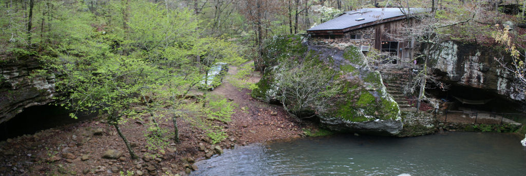
View from the waterfall
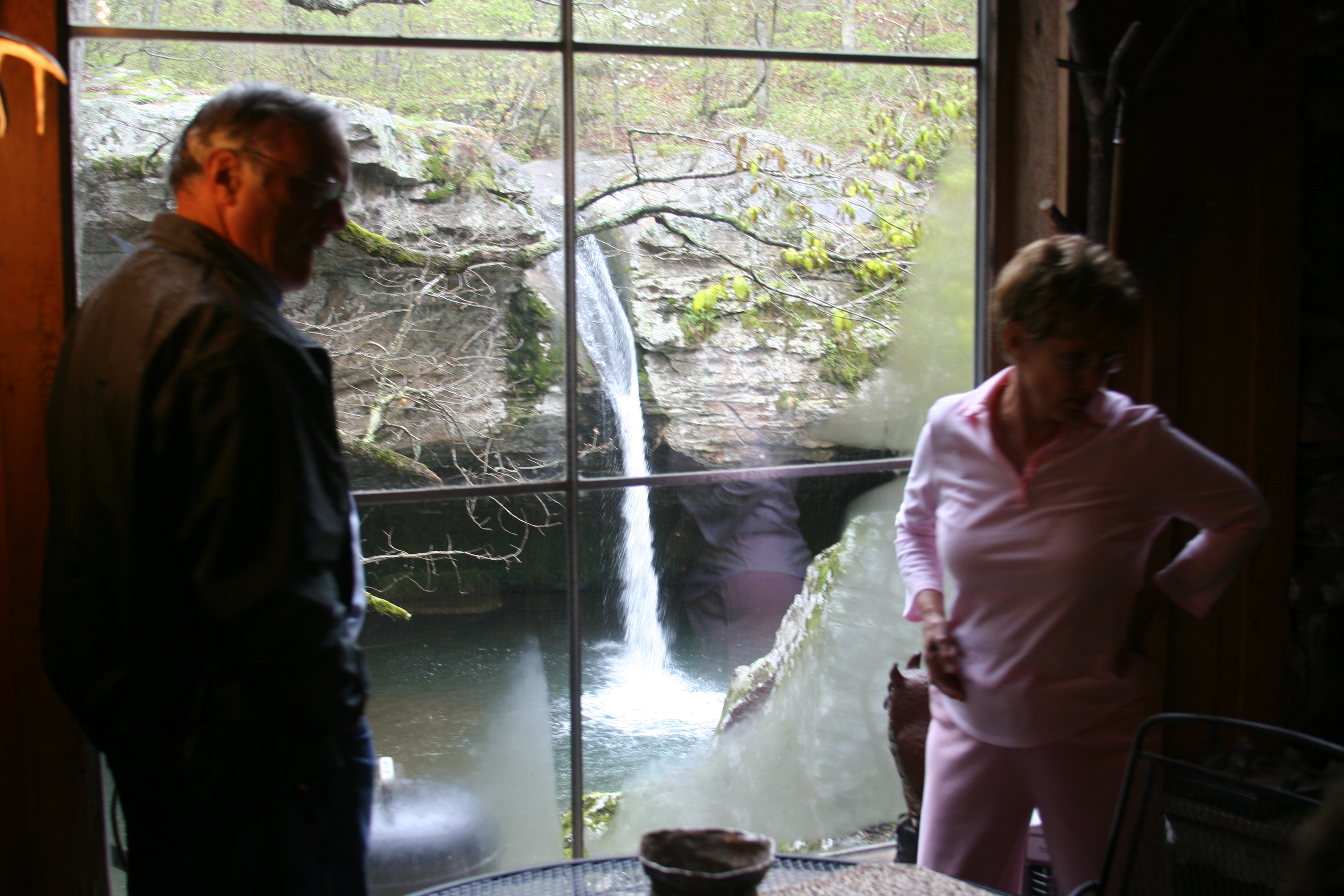
Window View

Cabin 2 View
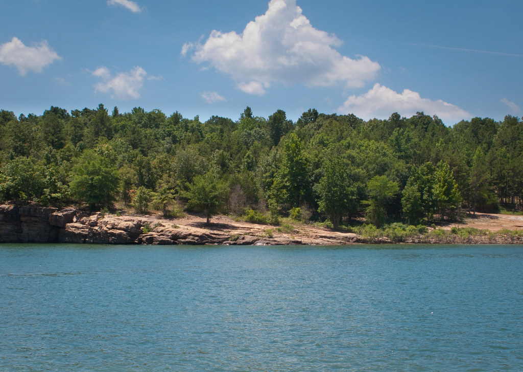
Arkansas Carp and Scenes-3
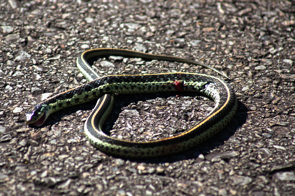
Garter Snake

Devil's Fork Sunset
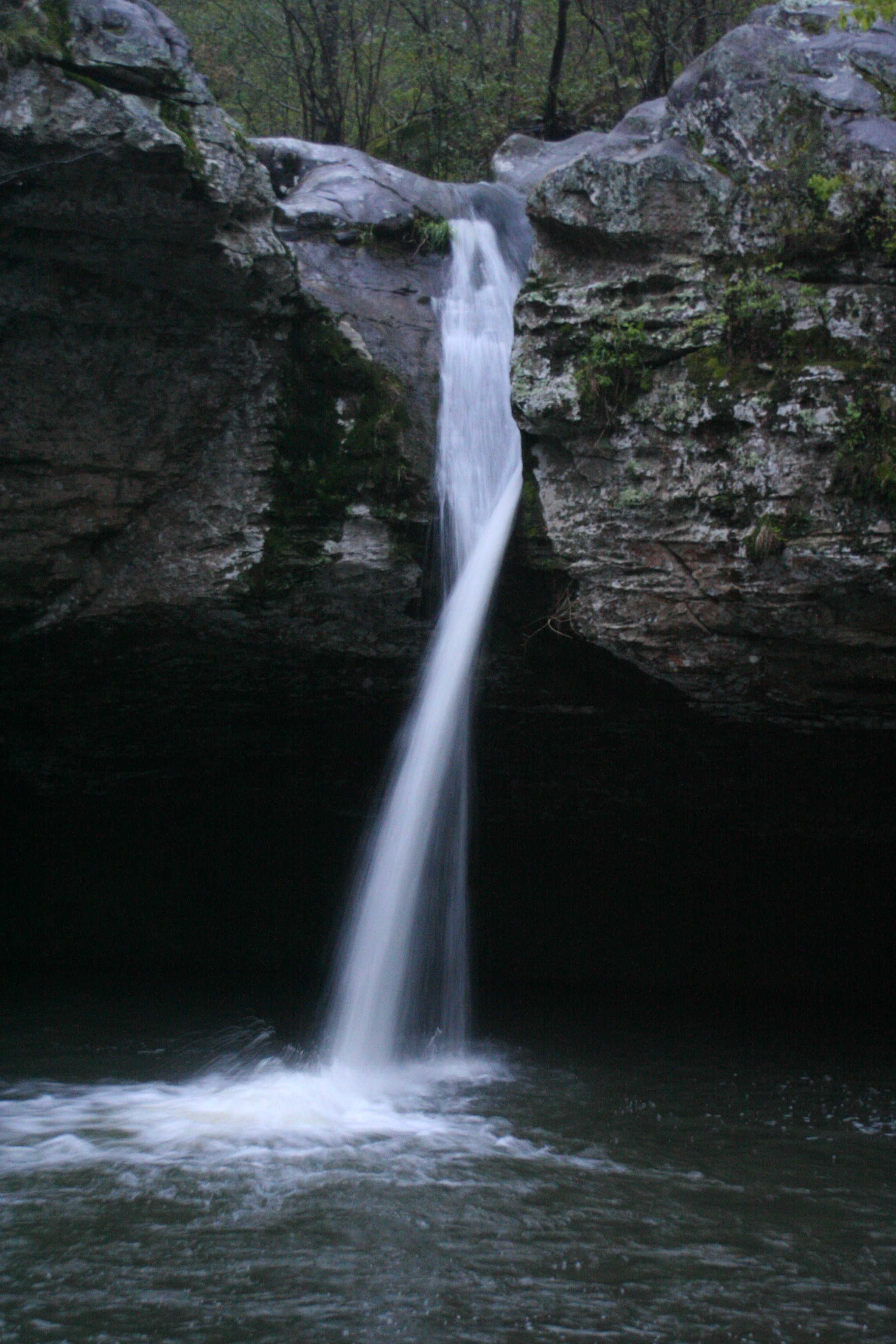
Water Fall shot
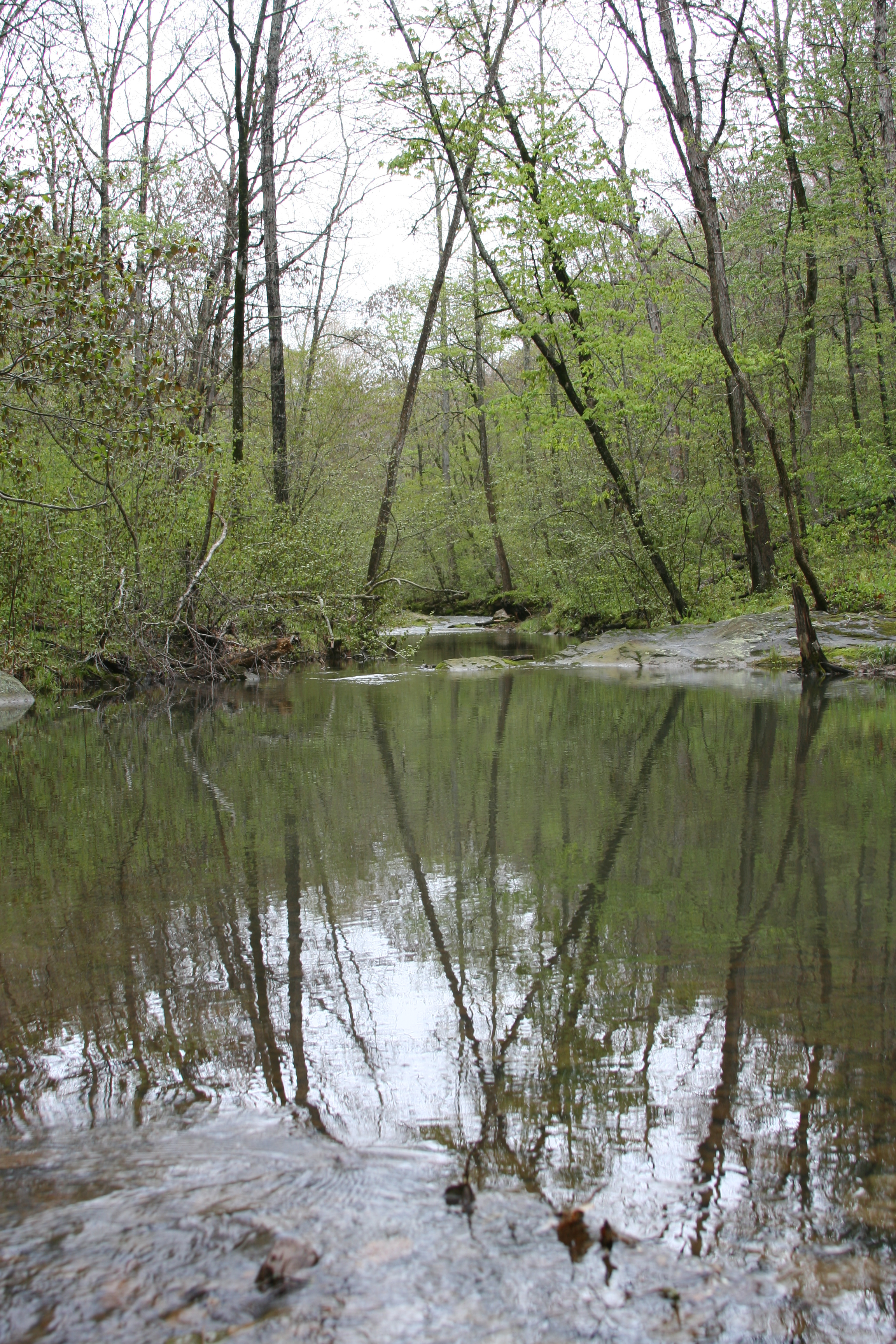
Reflection Pool
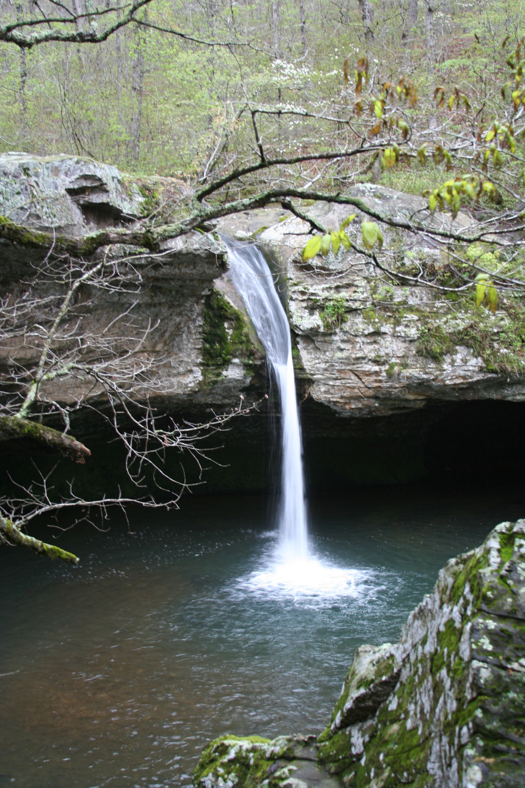
Water Fall
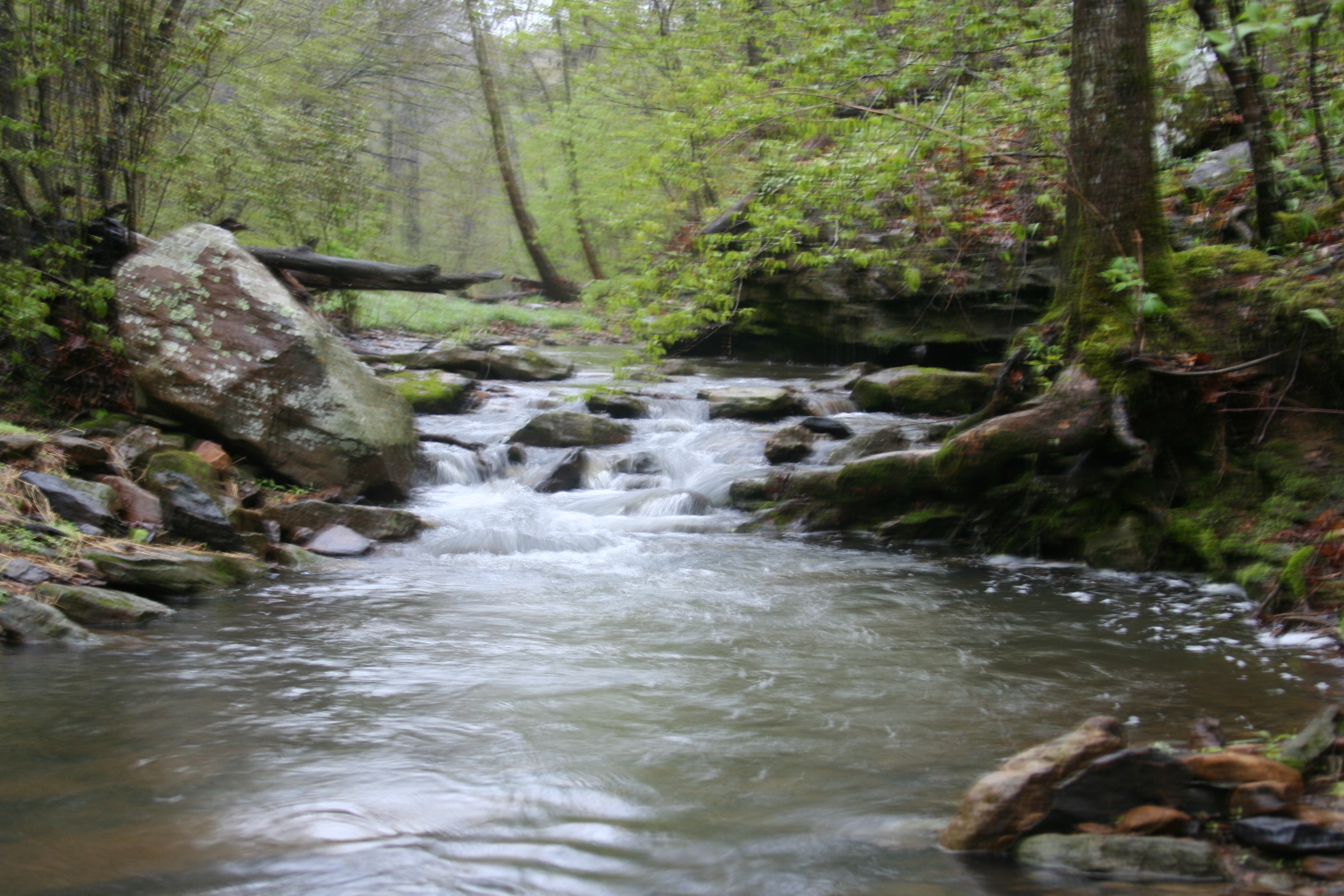
Stream again..

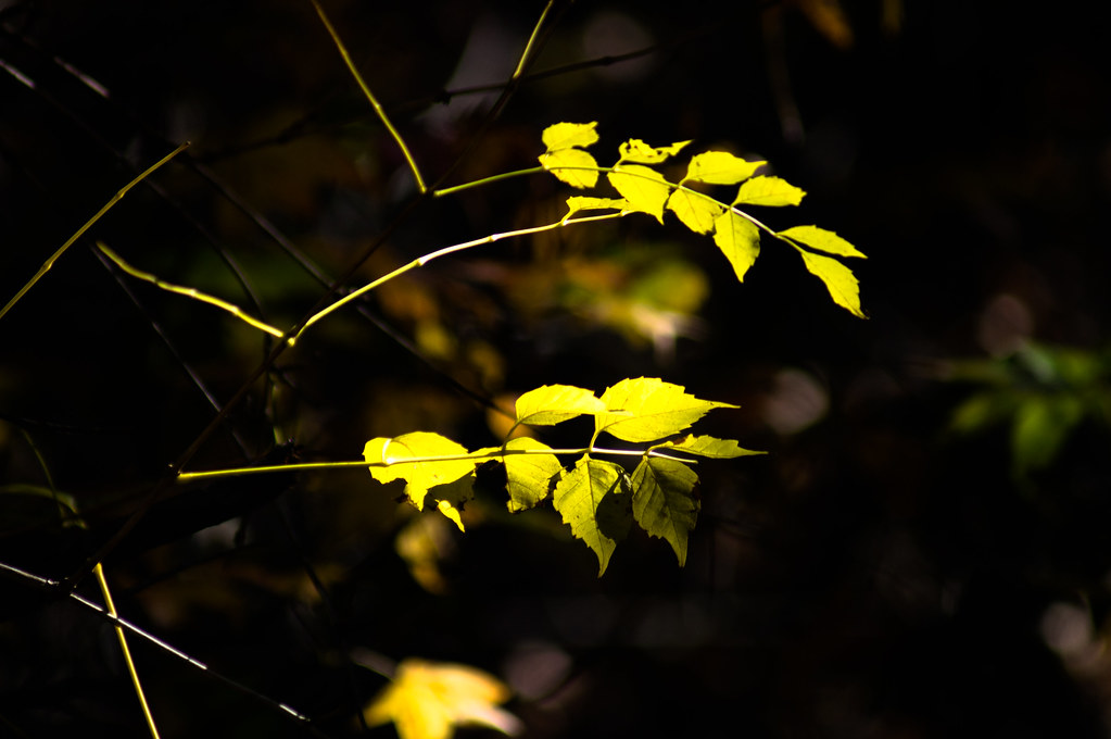
Field Grass
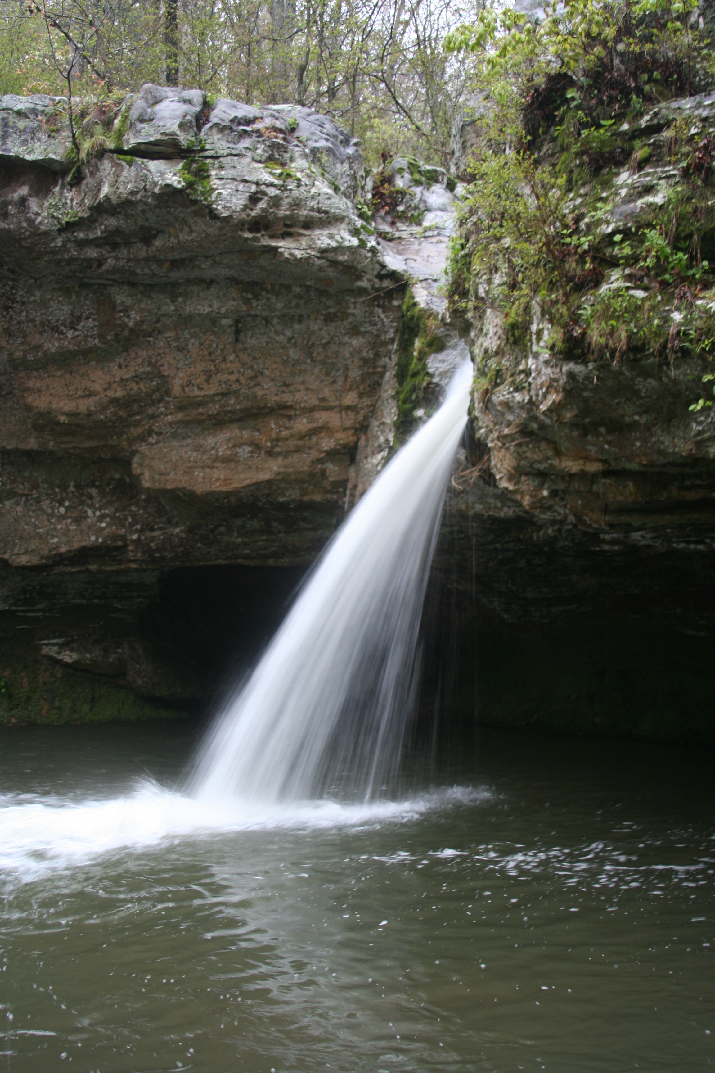
Water fall.
i'm on a float
Topographic Map of Prim, AR, USA
Find elevation by address:

Places in Prim, AR, USA:
Places near Prim, AR, USA:
Prim Rd, Prim, AR, USA
Bryan Township
660 Prince Loop
Dog Young Road
542 Jimmy Mitchell Rd
2046 Misenheimer Rd
Arbana Township
103 Jennifer Ln
618 Ar-5
436 Ben Cartwright Ln
Tuttle Ridge Rd, Mountain View, AR, USA
183 Petters Rd
2327 Cove Rd
Kahoka Road
Red Stripe Township
Marcella Township
Pleasant Grove
AR-14, Pleasant Grove, AR, USA
Marcella
155 Lower Yorktown Dr
Recent Searches:
- Elevation of Elwyn Dr, Roanoke Rapids, NC, USA
- Elevation of Congressional Dr, Stevensville, MD, USA
- Elevation of Bellview Rd, McLean, VA, USA
- Elevation of Stage Island Rd, Chatham, MA, USA
- Elevation of Shibuya Scramble Crossing, 21 Udagawacho, Shibuya City, Tokyo -, Japan
- Elevation of Jadagoniai, Kaunas District Municipality, Lithuania
- Elevation of Pagonija rock, Kranto 7-oji g. 8"N, Kaunas, Lithuania
- Elevation of Co Rd 87, Jamestown, CO, USA
- Elevation of Tenjo, Cundinamarca, Colombia
- Elevation of Côte-des-Neiges, Montreal, QC H4A 3J6, Canada