Elevation of Red Mountain, CA, USA
Location: United States > California > San Bernardino County >
Longitude: -117.61672
Latitude: 35.3582966
Elevation: 1098m / 3602feet
Barometric Pressure: 89KPa
Elevation Map:
Satellite Map:
Related Photos:
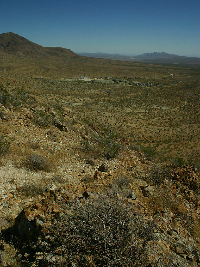
view over red mountain
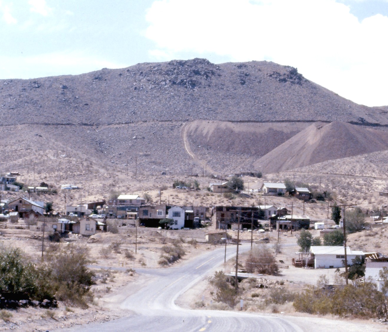
Randsburg Ghost Town, CA 1987
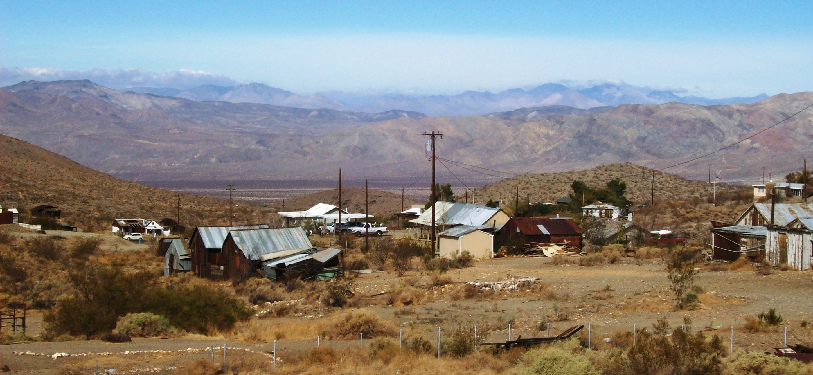
Reminders of a mining history long past at Randsburg, CA - randsburg11
Topographic Map of Red Mountain, CA, USA
Find elevation by address:

Places near Red Mountain, CA, USA:
Broadway Ave, Johannesburg, CA, USA
Johannesburg
Randsburg
Garlock Rd, Randsburg, CA, USA
H Park
Friends Of Amateur Rocketry
Old Garlock
2298 Camino El Canon
2298 Camino El Canon
2113 Camino El Canon
San Bernardino Road
Trona Road
Ridgecrest Heights
701 E Church Ave
359 E Robertson Rd
2199 Coral Ave
2199 Coral Ave
343 S Margalo St
Saltdale
Ridgecrest
Recent Searches:
- Elevation of Corso Fratelli Cairoli, 35, Macerata MC, Italy
- Elevation of Tallevast Rd, Sarasota, FL, USA
- Elevation of 4th St E, Sonoma, CA, USA
- Elevation of Black Hollow Rd, Pennsdale, PA, USA
- Elevation of Oakland Ave, Williamsport, PA, USA
- Elevation of Pedrógão Grande, Portugal
- Elevation of Klee Dr, Martinsburg, WV, USA
- Elevation of Via Roma, Pieranica CR, Italy
- Elevation of Tavkvetili Mountain, Georgia
- Elevation of Hartfords Bluff Cir, Mt Pleasant, SC, USA