Elevation of Garlock Rd, Randsburg, CA, USA
Location: United States > California > Kern County > Randsburg >
Longitude: -117.78994
Latitude: 35.404085
Elevation: 667m / 2188feet
Barometric Pressure: 94KPa
Elevation Map:
Satellite Map:
Related Photos:
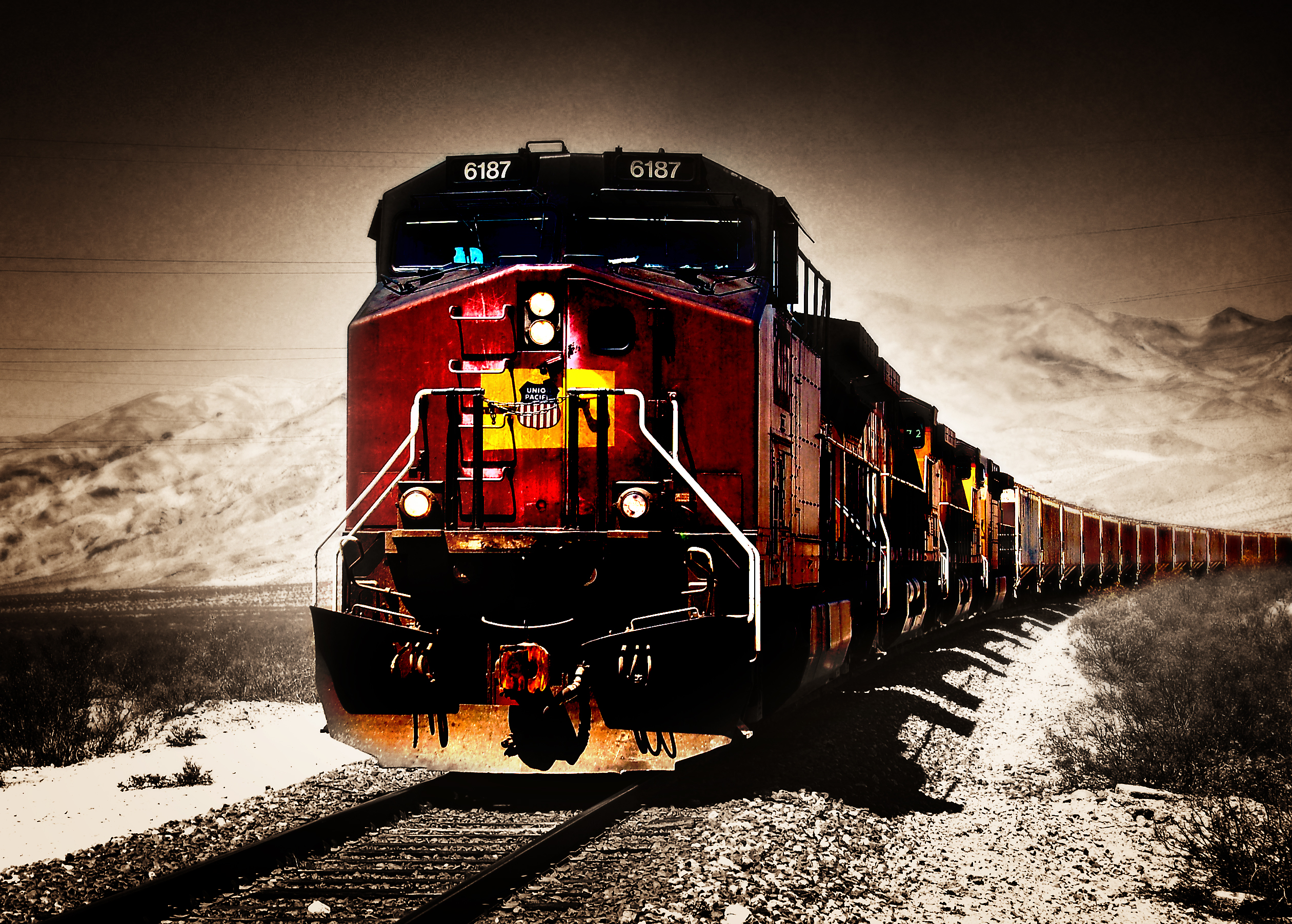
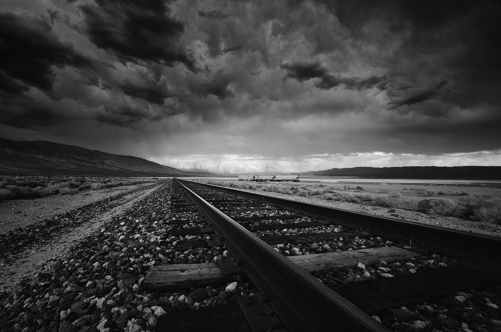
Locomotive Breath
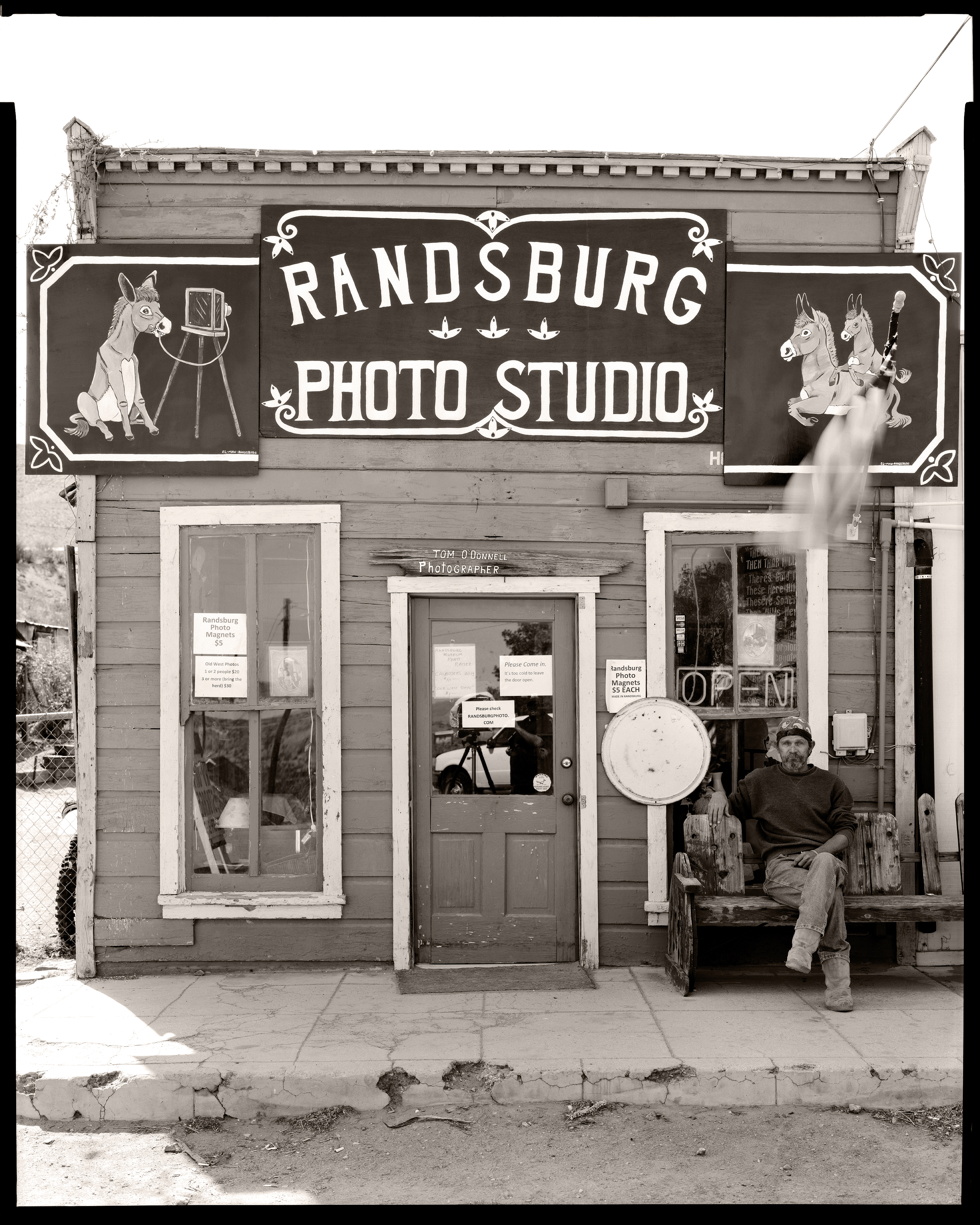
Randsburg Photo Studio
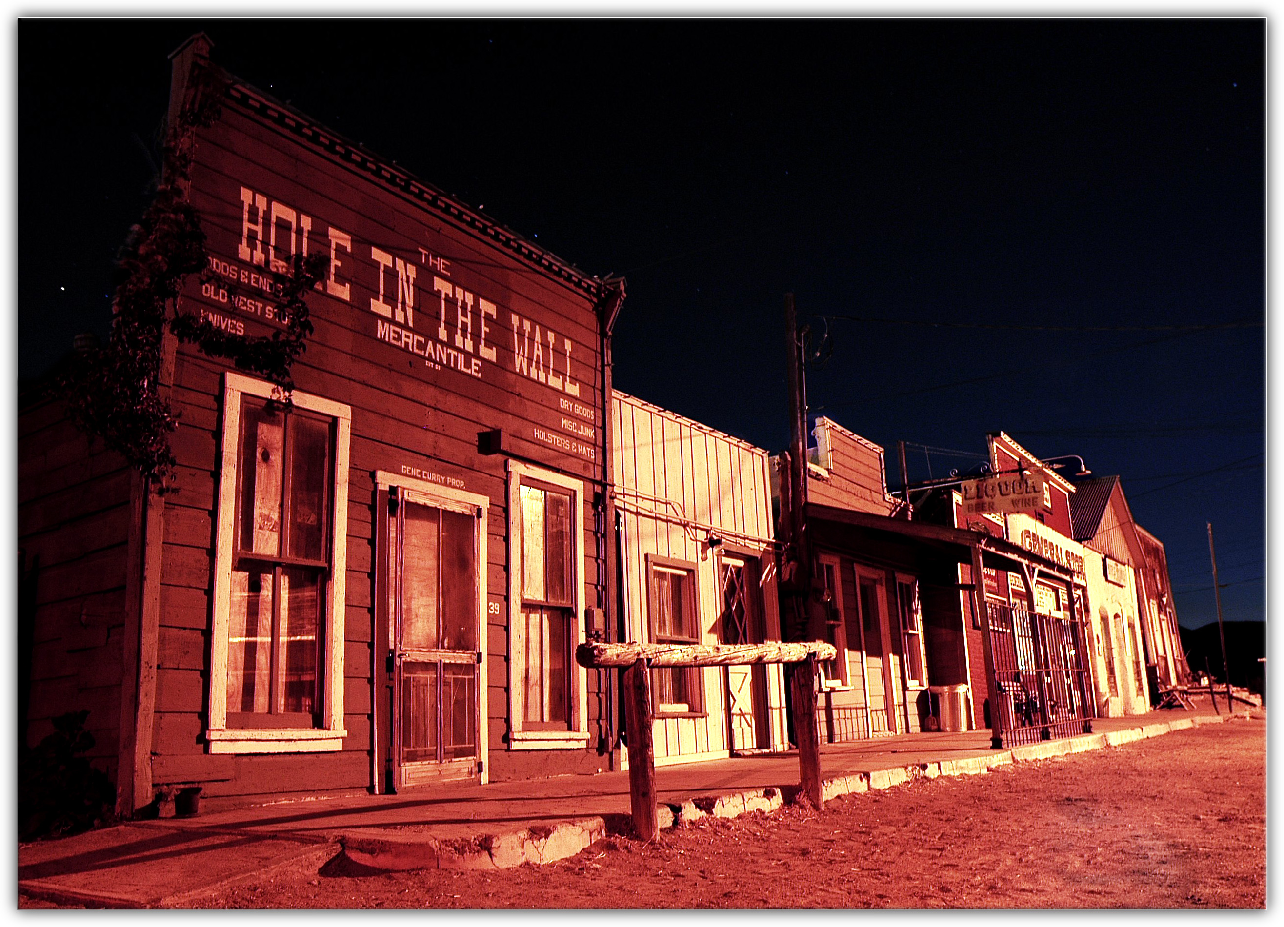
Randsburg at Night
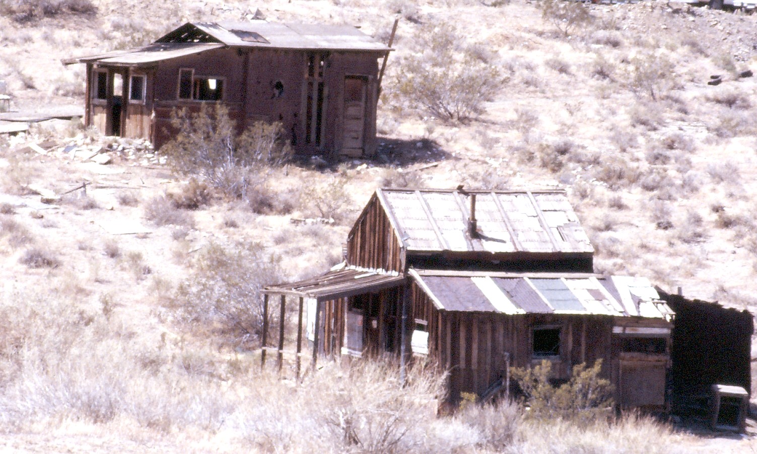
Randsburg Ghost Town, CA 1987
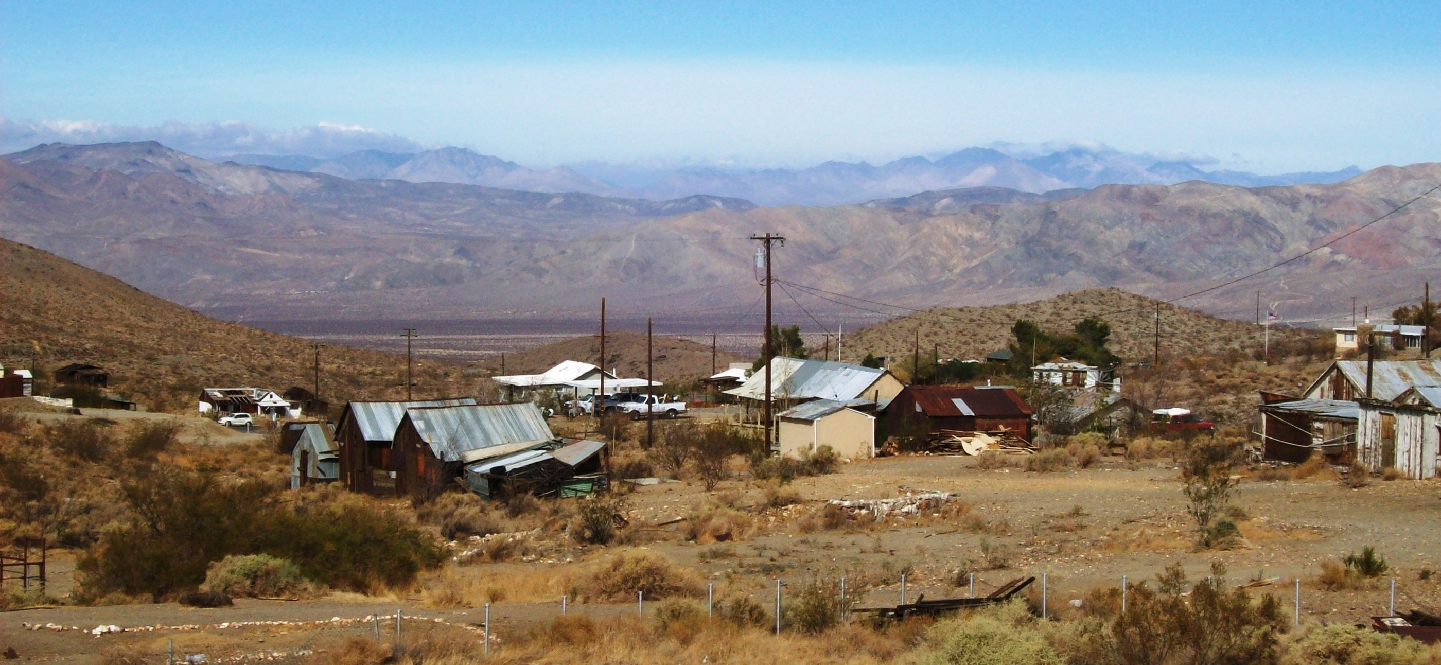
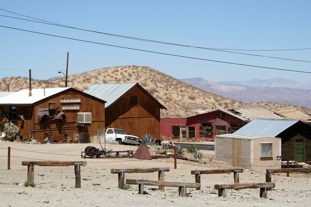
Reminders of a mining history long past at Randsburg, CA - randsburg11
View from the other side of the Burro Schmidt Tunnel
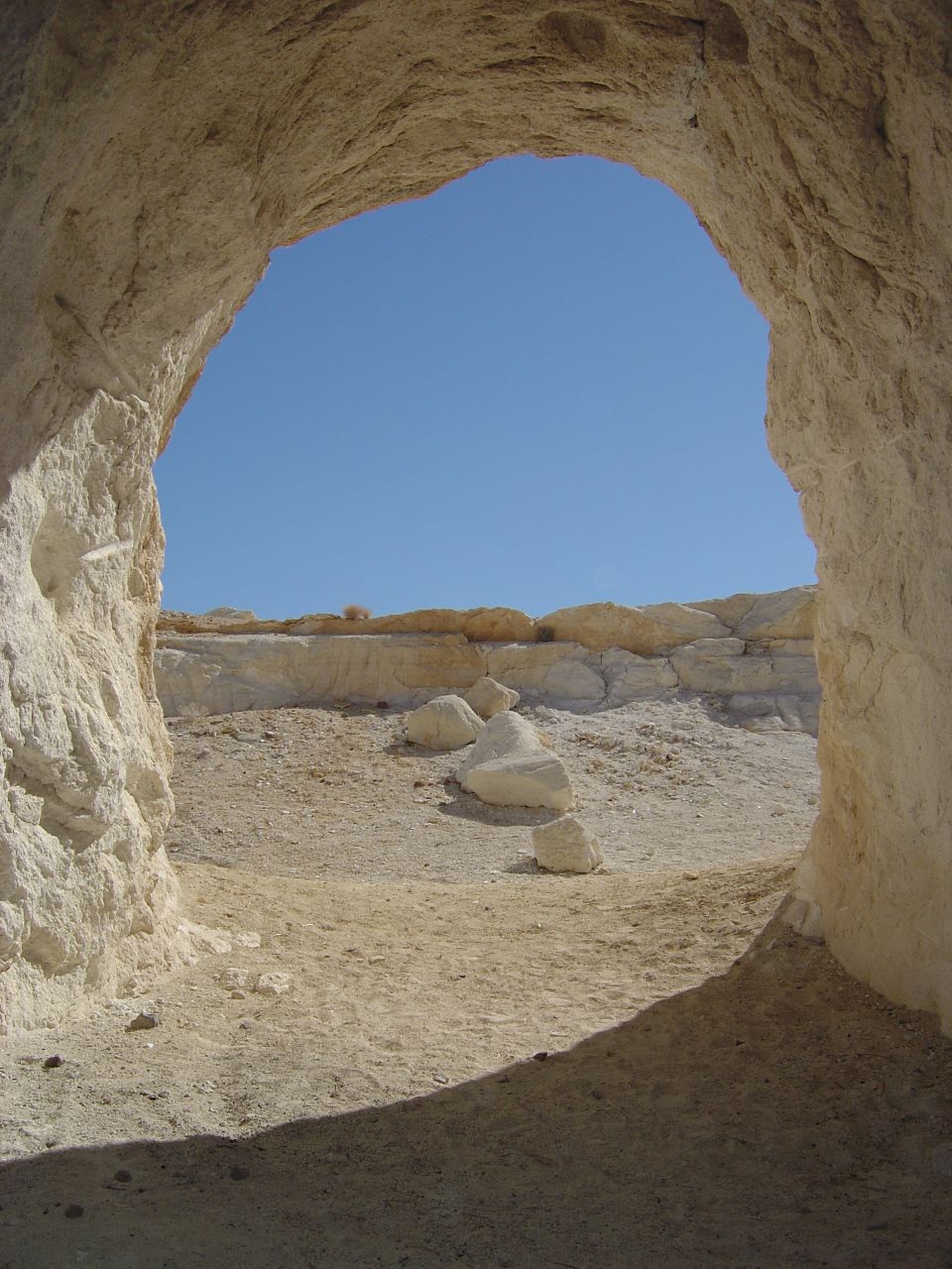
Gypsum Mine View into Blue Sky
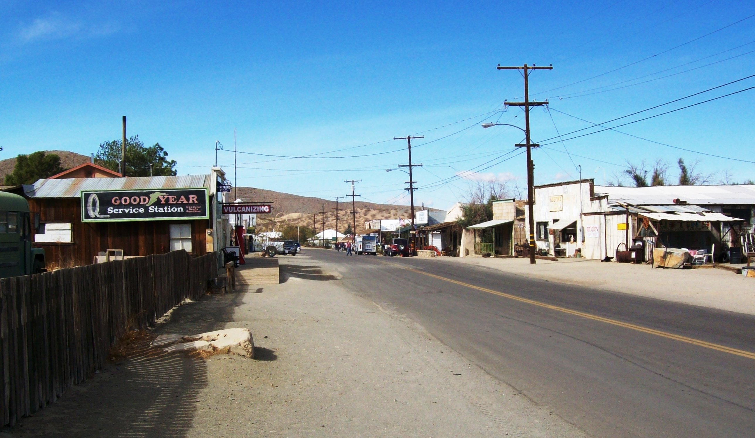
A view down the busy Main Street in Randsburg, CA (randsburg16)
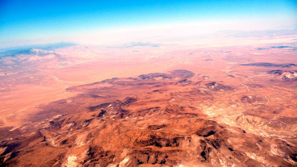
10500' OTB Garlock California
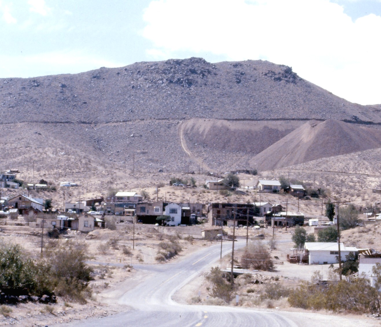
Randsburg Ghost Town, CA 1987
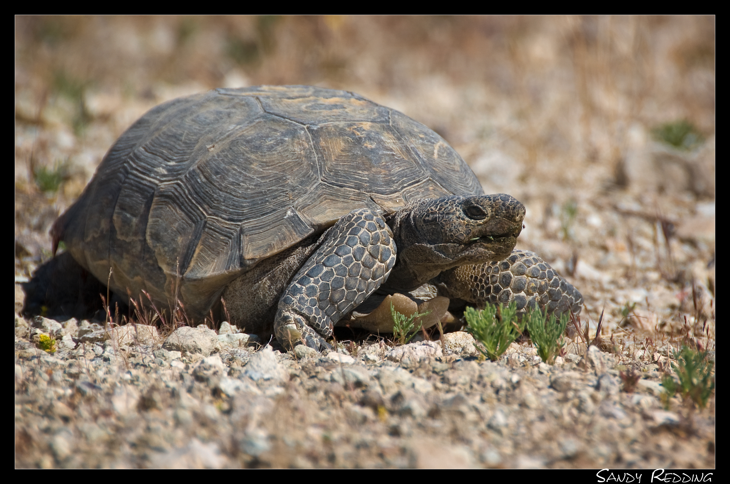
Desert Tortoise
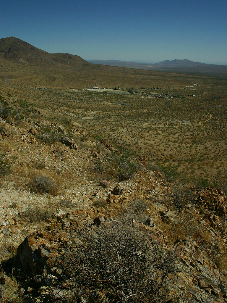
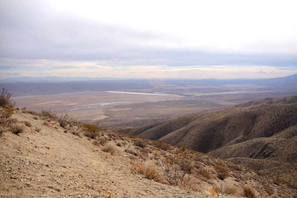
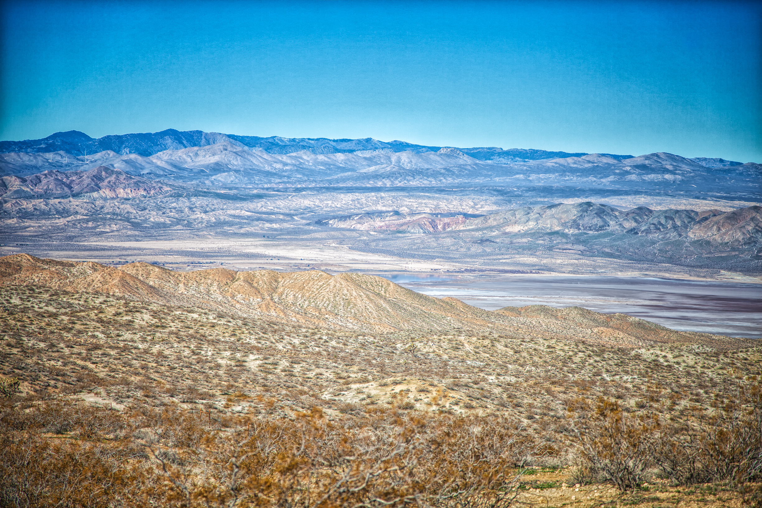
view over red mountain
View from Downtown

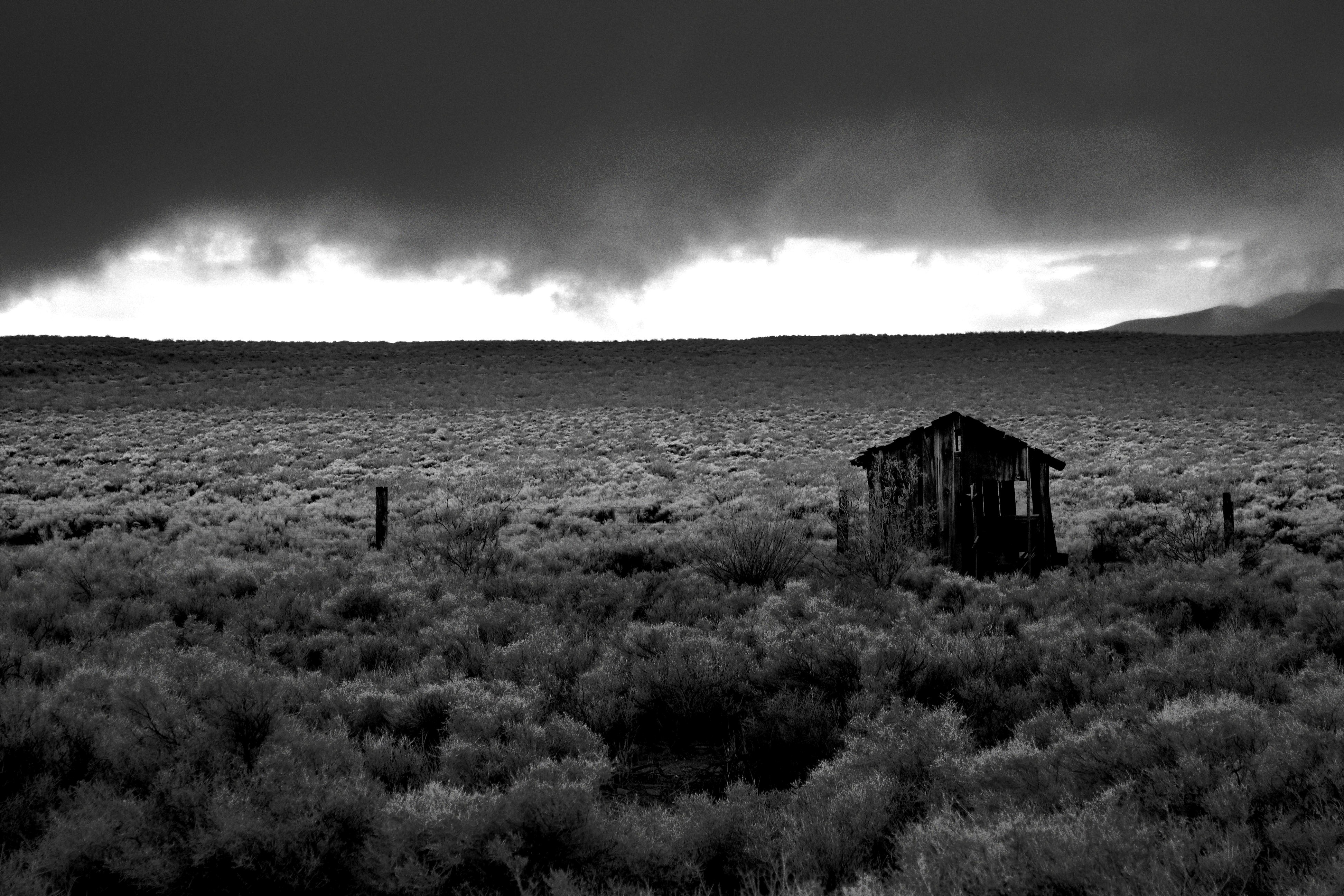
CA Trip Day 9: Nobody Home
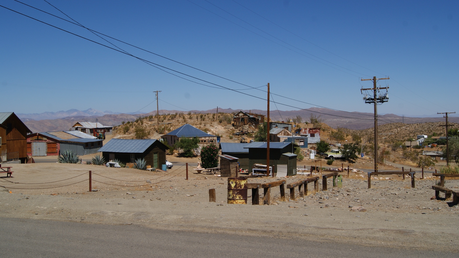
View of Randsburg, CA

CA Trip Day 9: Green Break
Mesquite Canyon Rd
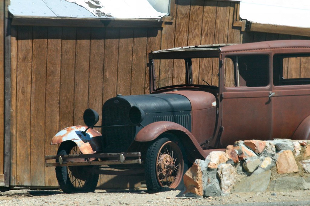
Model A

Rattle snake area

GUNS4US. johannesburg, ca. 2012.
Tracking the Storm
Koehn Lake
Welcome Home.

DSC_4365.jpg
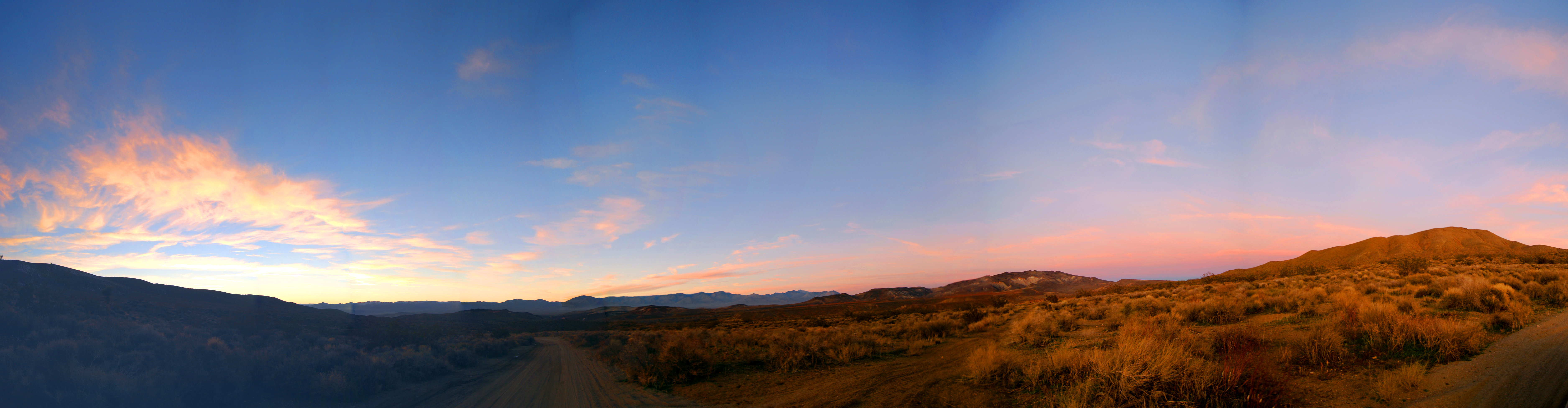
Sunset Panography at Last Chance Canyon
Topographic Map of Garlock Rd, Randsburg, CA, USA
Find elevation by address:

Places near Garlock Rd, Randsburg, CA, USA:
Old Garlock
Friends Of Amateur Rocketry
Saltdale
Randsburg
Johannesburg
Broadway Ave, Johannesburg, CA, USA
Lake Rd, Cantil, CA, USA
Red Mountain
Red Rock Canyon State Park
CA-14, Inyokern, CA, USA
Cantil
Cantil Rd, Cantil, CA, USA
Abbott Dr, Cantil, CA, USA
California 14
2199 Coral Ave
2199 Coral Ave
Ridgecrest Heights
2298 Camino El Canon
2298 Camino El Canon
2113 Camino El Canon
Recent Searches:
- Elevation of Estates Loop, Priest River, ID, USA
- Elevation of Woodland Oak Pl, Thousand Oaks, CA, USA
- Elevation of Brownsdale Rd, Renfrew, PA, USA
- Elevation of Corcoran Ln, Suffolk, VA, USA
- Elevation of Mamala II, Sariaya, Quezon, Philippines
- Elevation of Sarangdanda, Nepal
- Elevation of 7 Waterfall Way, Tomball, TX, USA
- Elevation of SW 57th Ave, Portland, OR, USA
- Elevation of Crocker Dr, Vacaville, CA, USA
- Elevation of Pu Ngaol Community Meeting Hall, HWHM+3X7, Krong Saen Monourom, Cambodia