Elevation of Red Maple Dr, Columbiana, AL, USA
Location: United States > Alabama > Shelby County > Columbiana >
Longitude: -86.587093
Latitude: 33.3099739
Elevation: 151m / 495feet
Barometric Pressure: 100KPa
Elevation Map:
Satellite Map:
Related Photos:
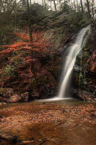
Right Profile, Peavine Falls
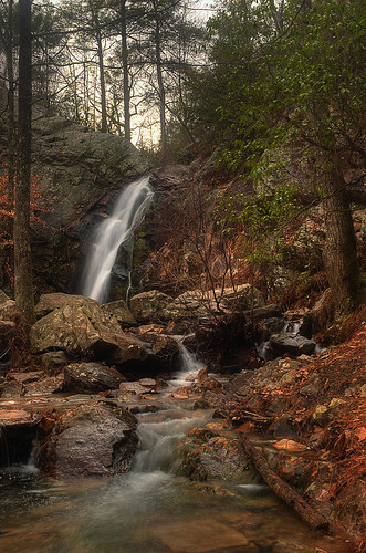
Peavine Falls from the Creek

Peavine Falls Stitch
Sunrise Over The Mountain / P2013-0824D001
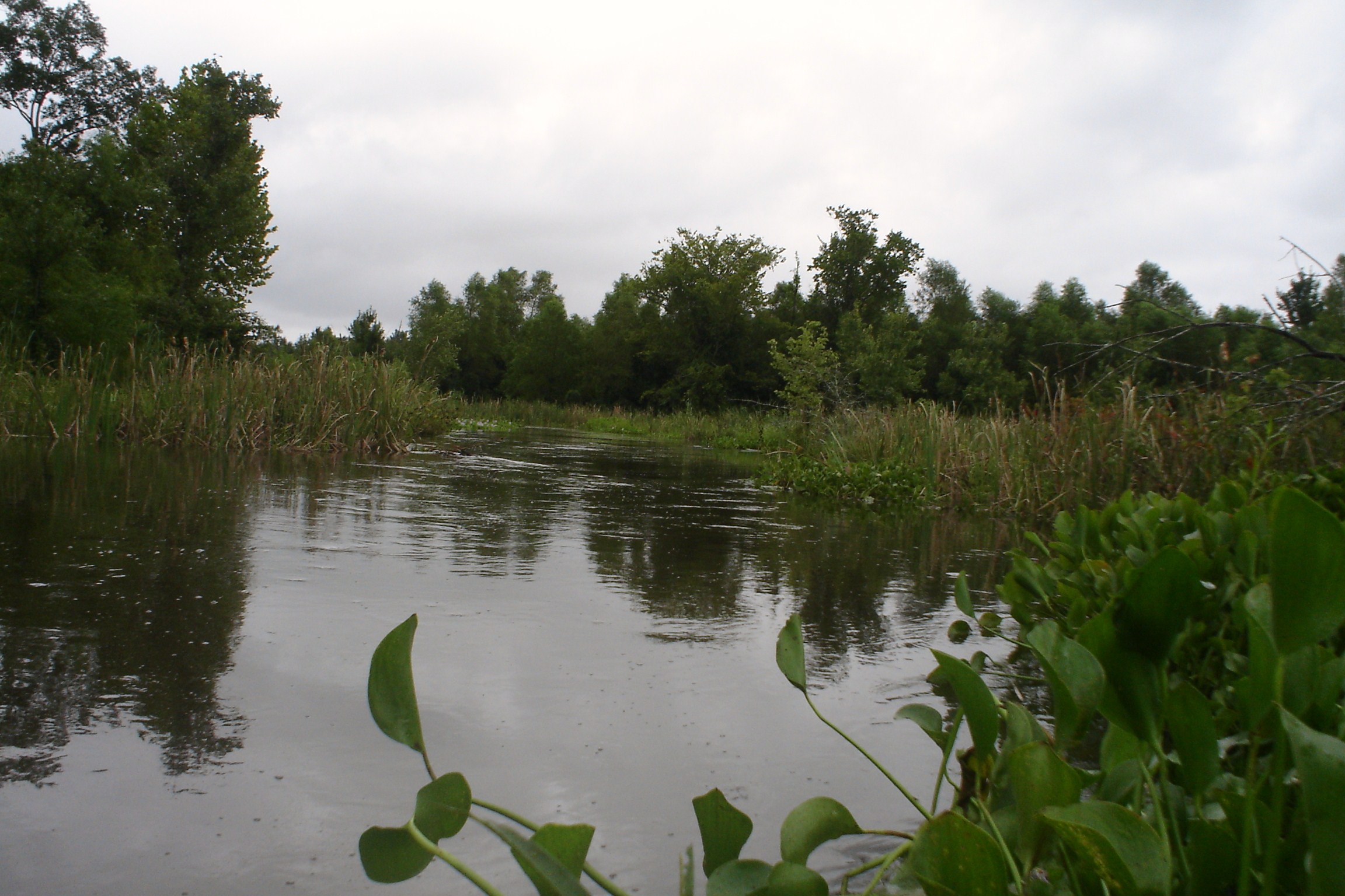
Swolen Creek North View
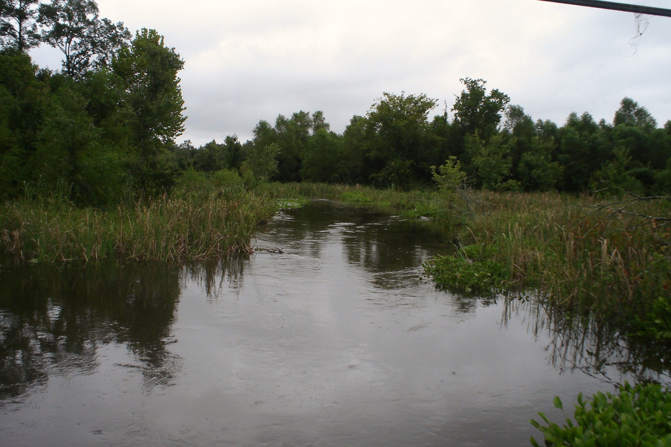
Swolen Creek South View

Updated Disney Fairies Display

Horrified!

View from the King's Chair, Oak Mountain State Park, Shelby County, Alabama 1/2013
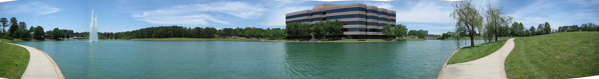
meadowbrook panorama
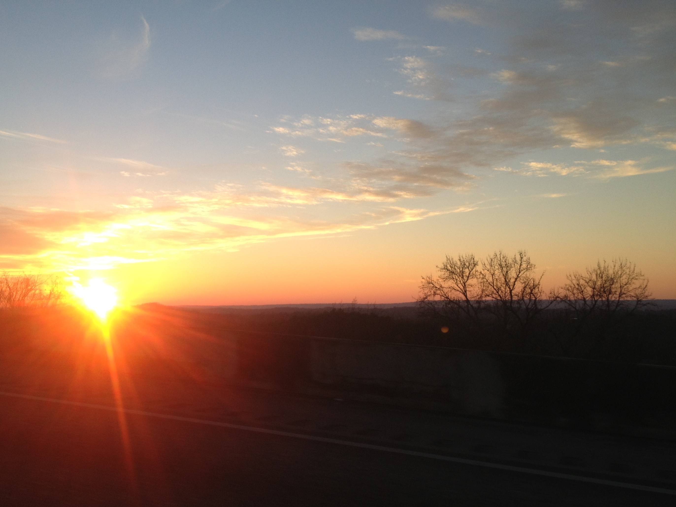
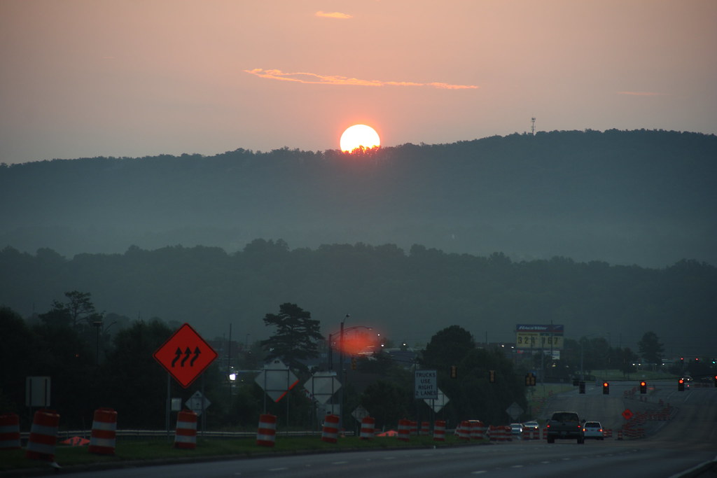
Sunset on 280 at the Top of the Hill

two families now one
Greystone Legacy #6

Self Portrait 2

Beautiful View from Hargis

Jubal (Dragan)
Petruccellis' view

Scenic View, U.S. Highway 280 / P1982-0207A009-02
Headed Home at Sunset - Road Across the Dam at Oak Mountain State Park

Morning Geese
Honk if you Love Geese
Canada Geese
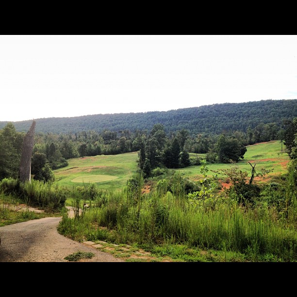
@garagecocustoms when are we going to go play golf?
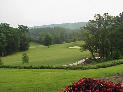
Late afternoon at Oak Mountain State Park-0308
Bad Weather Moves In On an Alabama Spring Morning
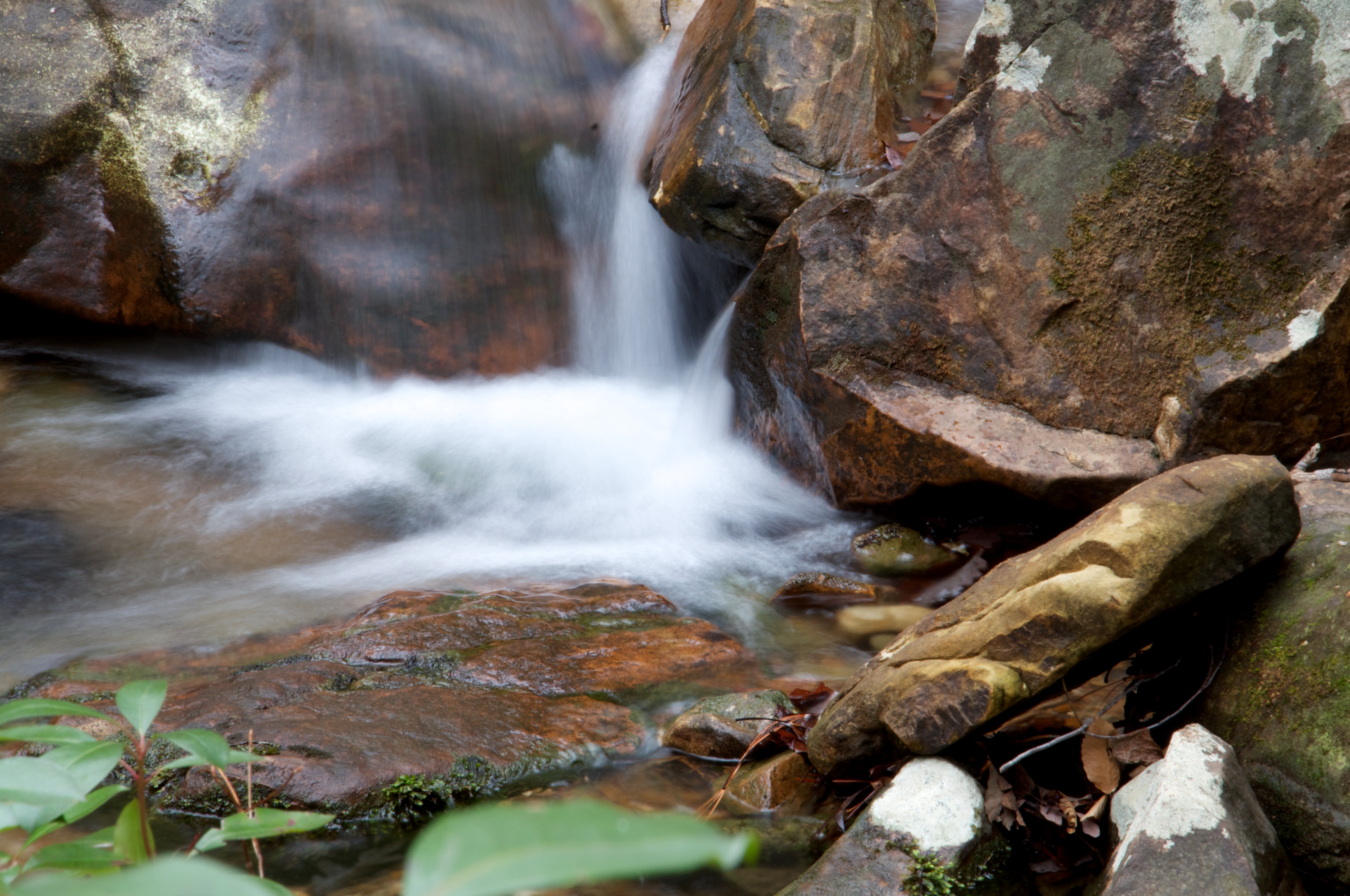
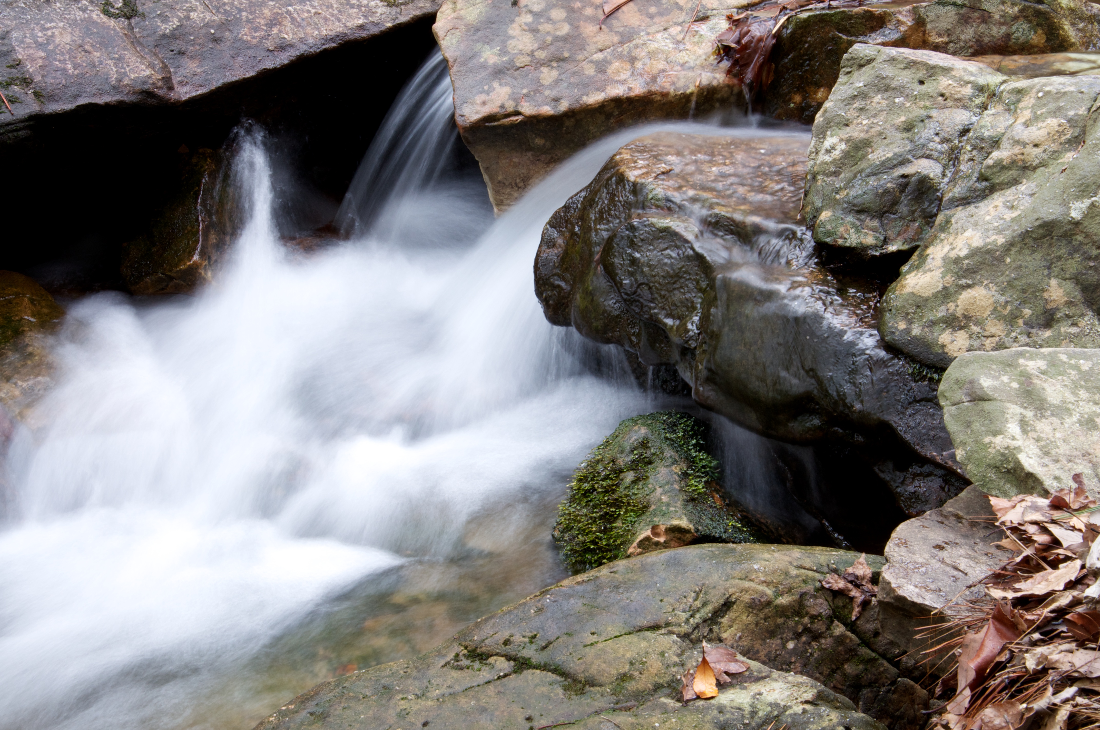
Creek Long Exposure

Peavine Falls
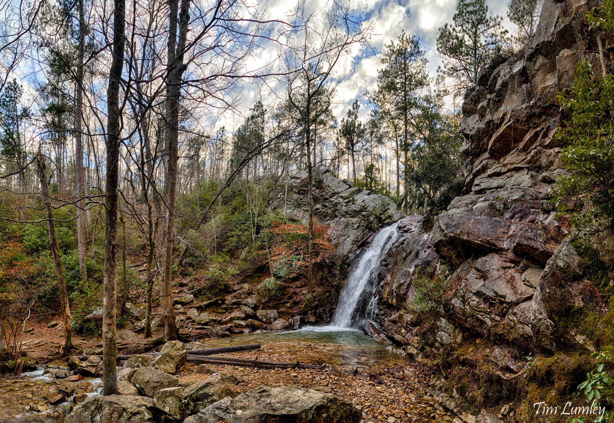
Peavine Falls
oak mtn 013
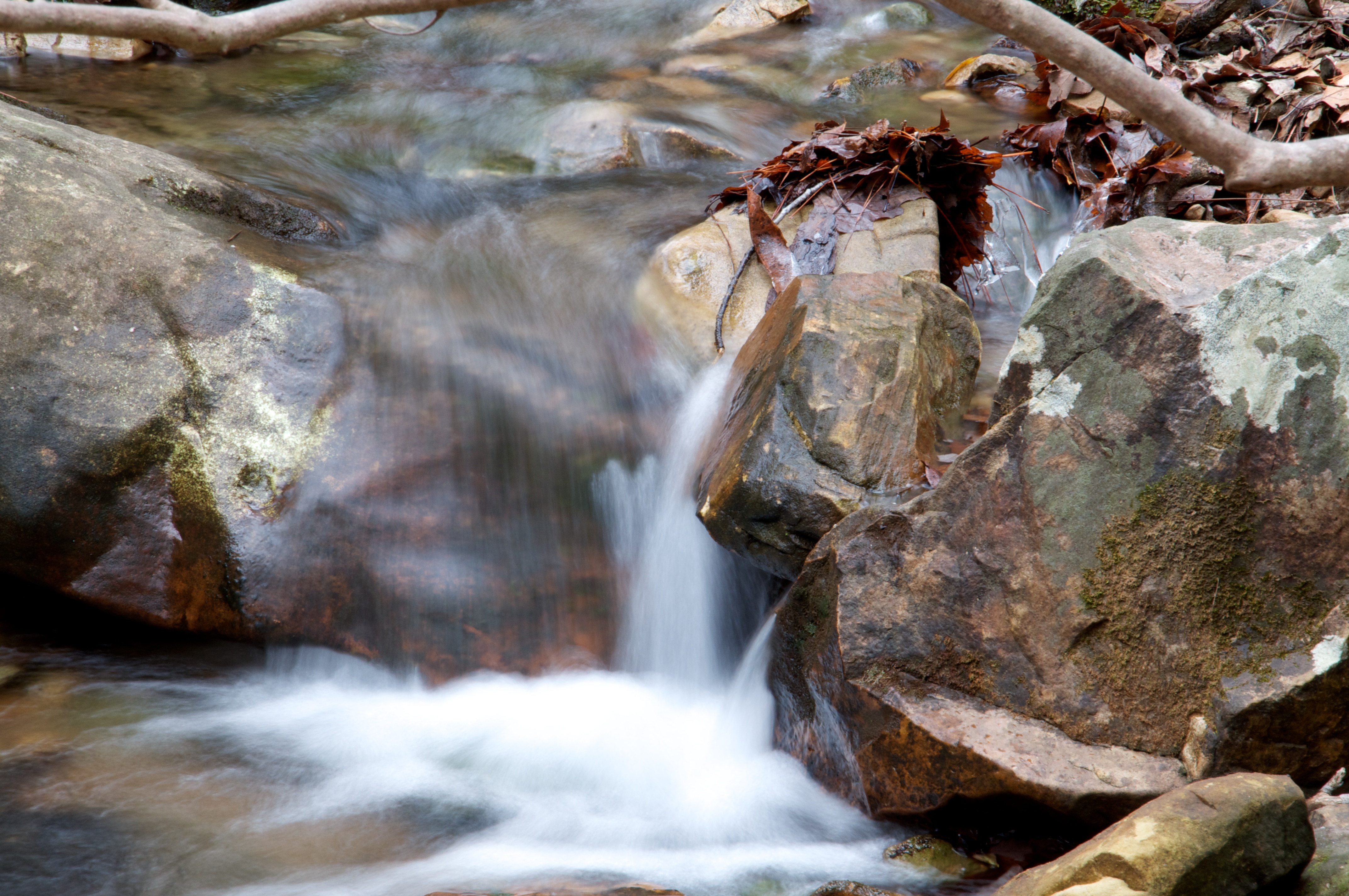
Creek Long Exposure
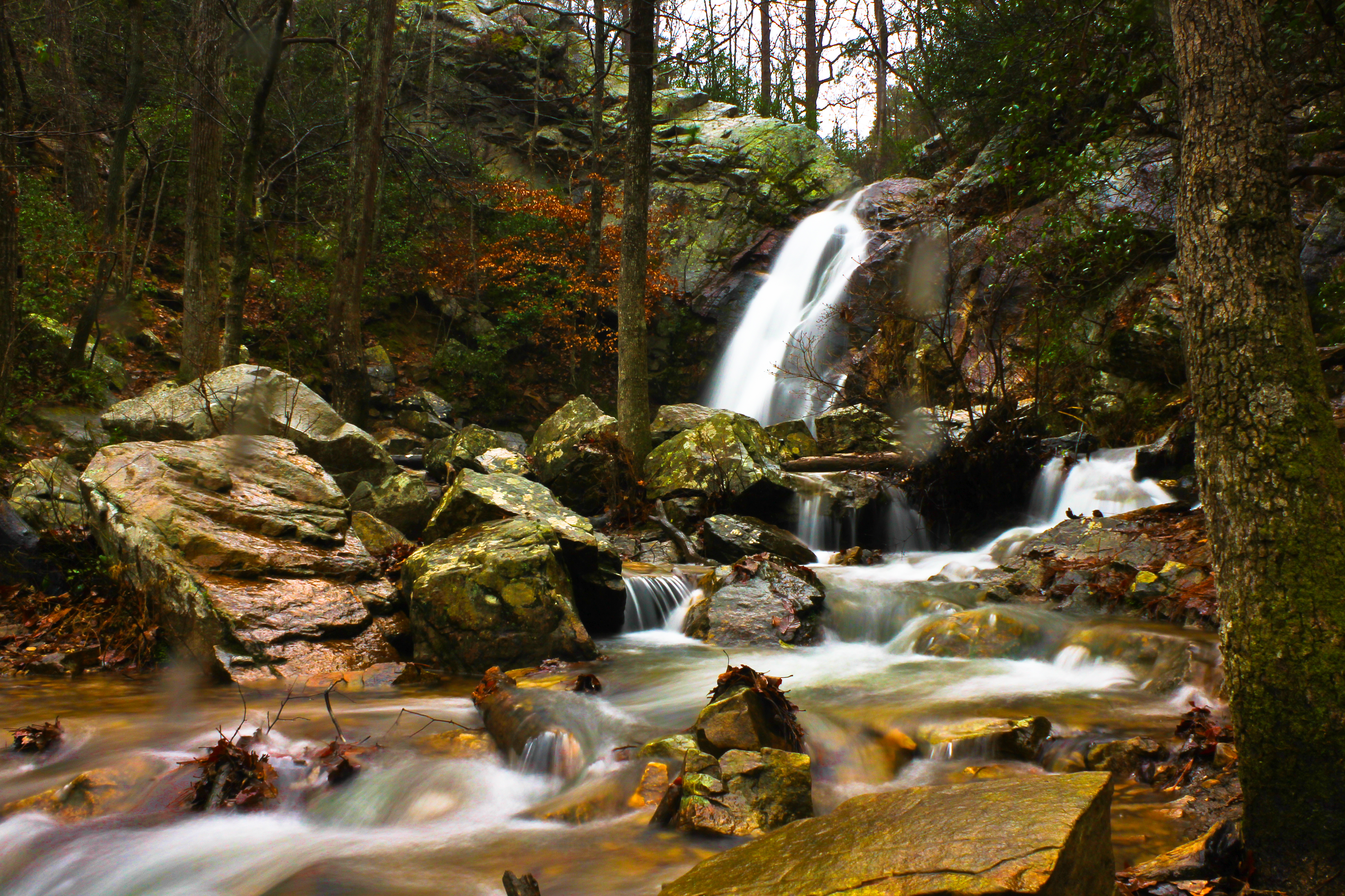
Peavine Falls,AL
oak mtn 012
oak mtn 008
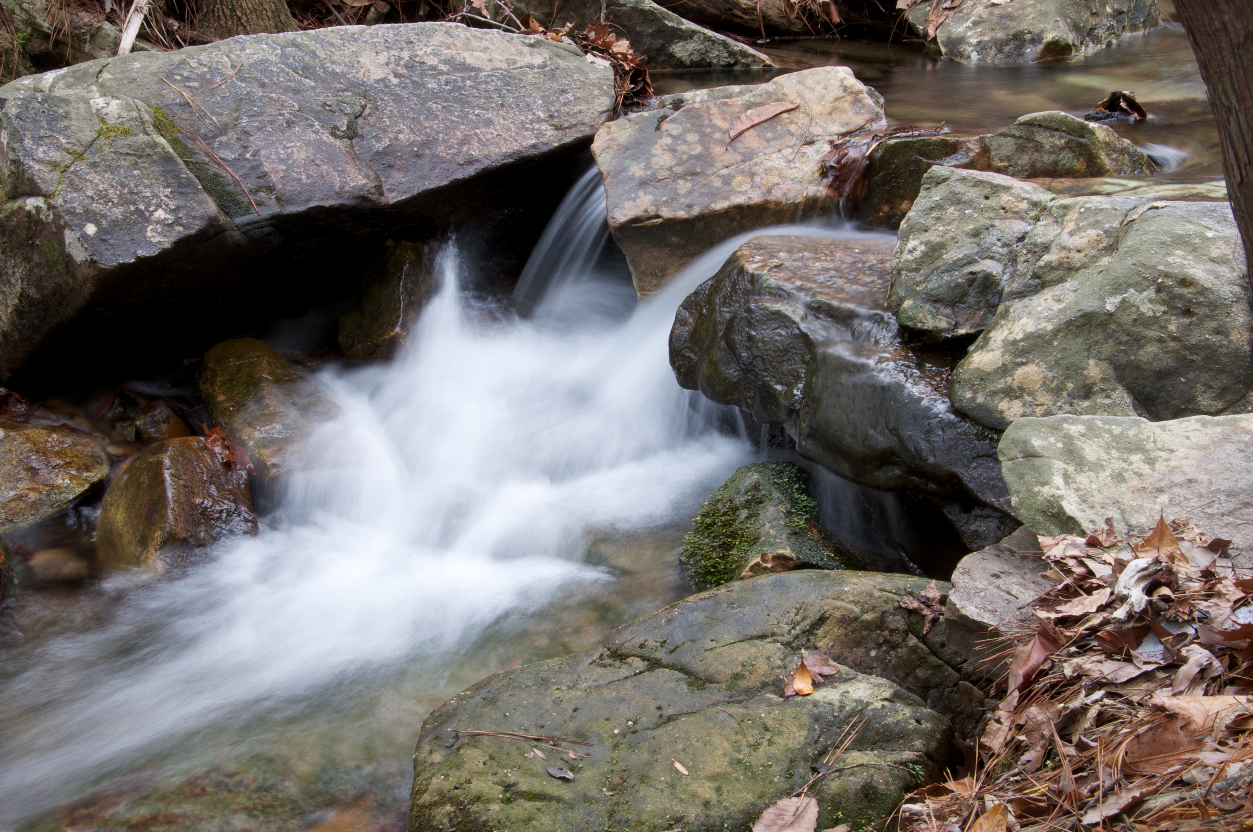
Creek Long Exposure
Distant red shack #Seed preps for takeoff
20110115-Long Exposure
Topographic Map of Red Maple Dr, Columbiana, AL, USA
Find elevation by address:

Places near Red Maple Dr, Columbiana, AL, USA:
Chelsea Park Elementary School
1068 Kingston Rd
Chelsea
Co Rd 55, Wilsonville, AL, USA
100 Hunter Hills Dr
Shelby County
Lime Creek Lane
120 Brynleigh Dr
157 Chelsea Station Drive
1067 Highland Park Pl
136 Sheffield Ln
Ebsco Industries, Inc
Crest Road
Joinertown Rd, Columbiana, AL, USA
3328 Sunny Meadows Ct
3207 Mountain Ridge Cir
Downing Cir, Birmingham, AL, USA
Caldwell Mill Rd, Birmingham, AL, USA
4913 Appaloosa Trail
915 Copena Dr
Recent Searches:
- Elevation of Tenjo, Cundinamarca, Colombia
- Elevation of Côte-des-Neiges, Montreal, QC H4A 3J6, Canada
- Elevation of Bobcat Dr, Helena, MT, USA
- Elevation of Zu den Ihlowbergen, Althüttendorf, Germany
- Elevation of Badaber, Peshawar, Khyber Pakhtunkhwa, Pakistan
- Elevation of SE Heron Loop, Lincoln City, OR, USA
- Elevation of Slanický ostrov, 01 Námestovo, Slovakia
- Elevation of Spaceport America, Co Rd A, Truth or Consequences, NM, USA
- Elevation of Warwick, RI, USA
- Elevation of Fern Rd, Whitmore, CA, USA