Elevation of Red Deer Drive, Red Deer Dr, Port Angeles, WA, USA
Location: United States > Washington > Clallam County > Port Angeles >
Longitude: -123.26775
Latitude: 48.0217148
Elevation: 496m / 1627feet
Barometric Pressure: 96KPa
Elevation Map:
Satellite Map:
Related Photos:
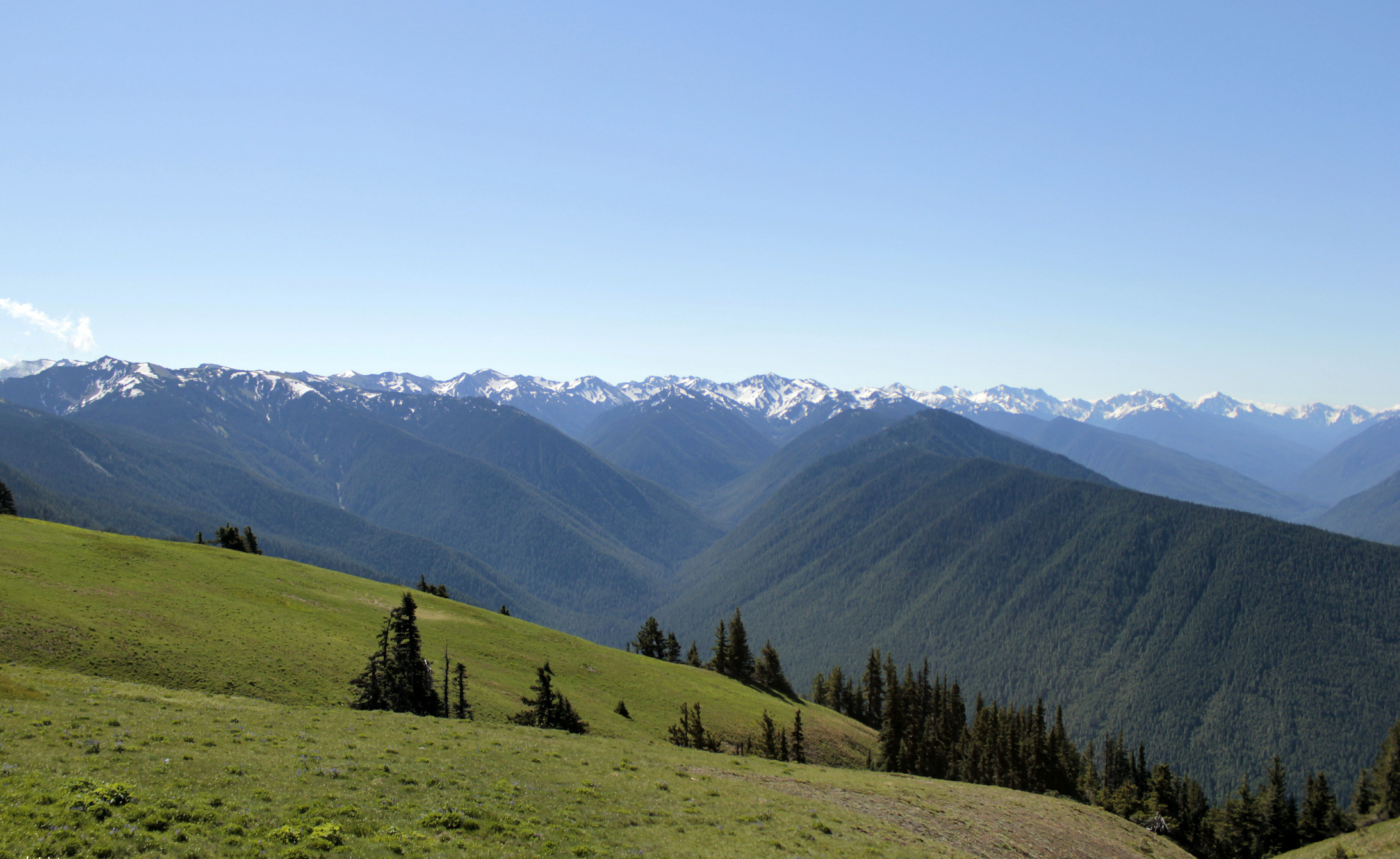
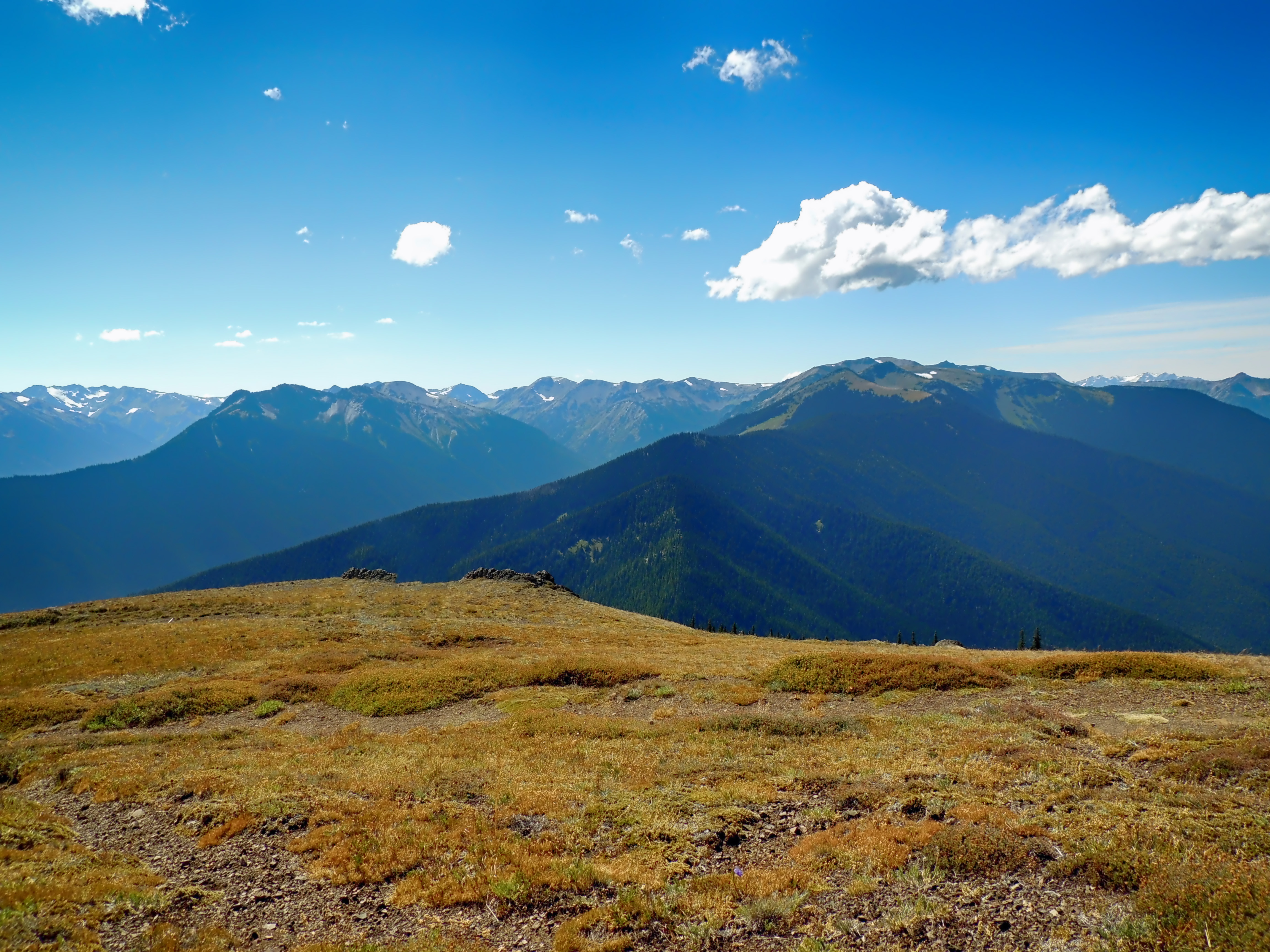
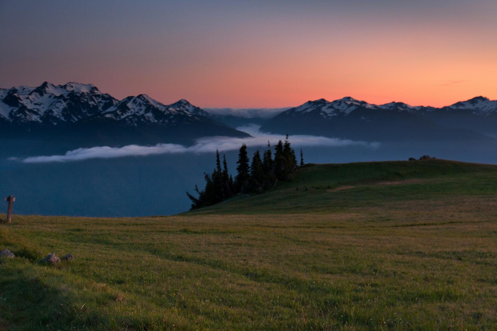
Hurricane Ridge

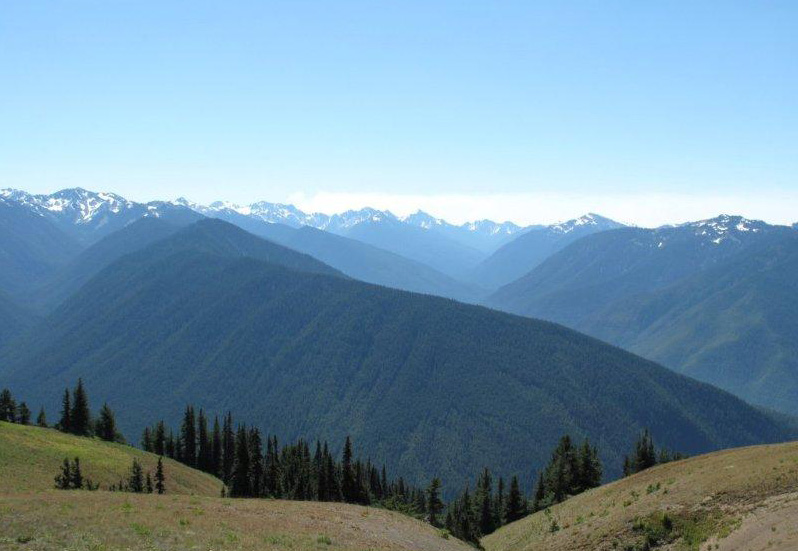
Deer Park overlooking the Olympics Mt Range
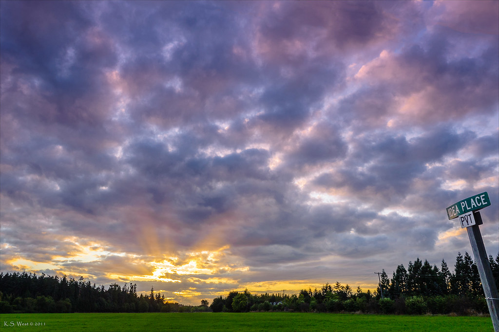
Idea Place, Sequim, Washington, 2011
Deer Park

#lost #hiking
I Hope You Like Blue...
Deer Park
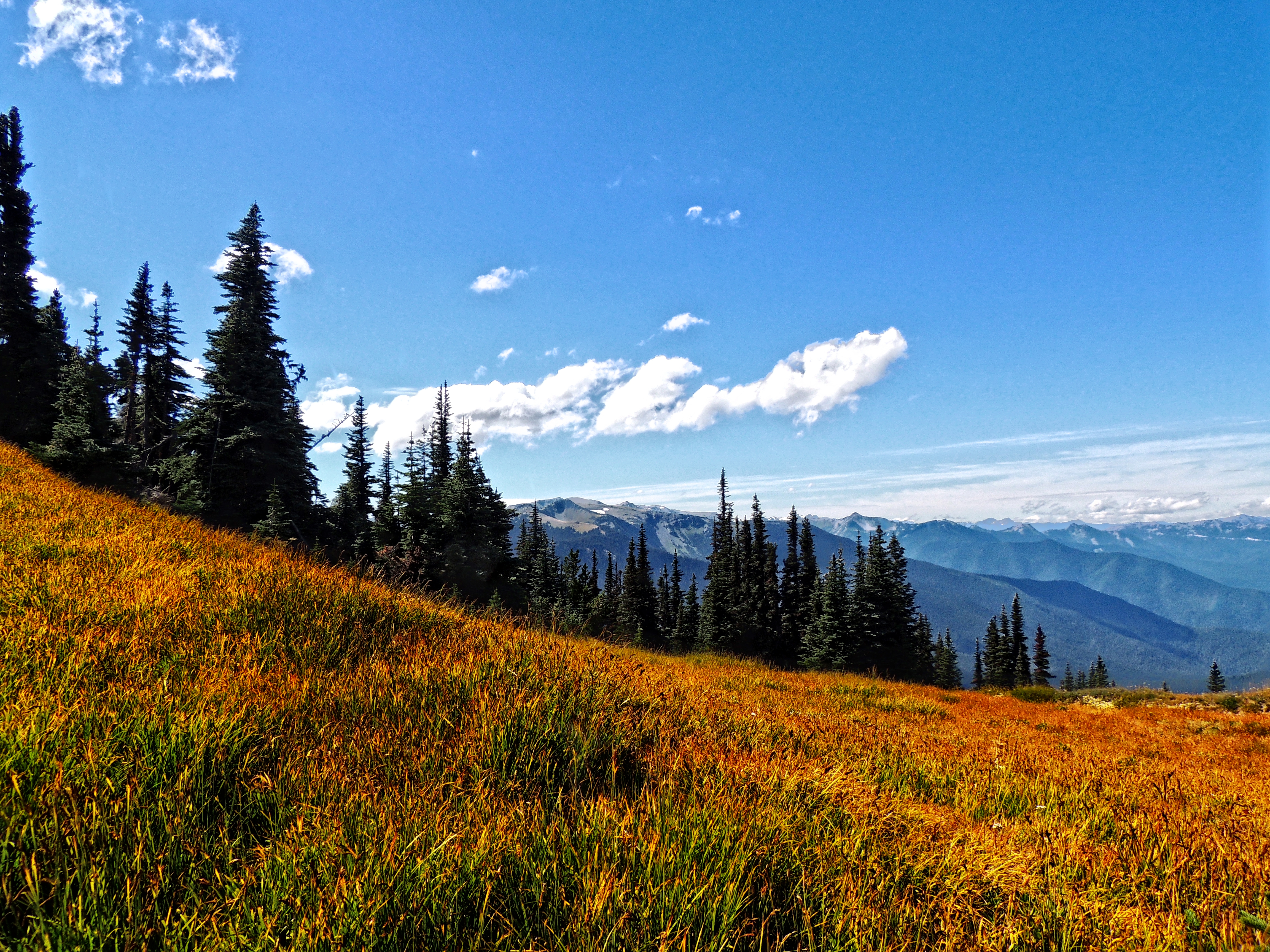
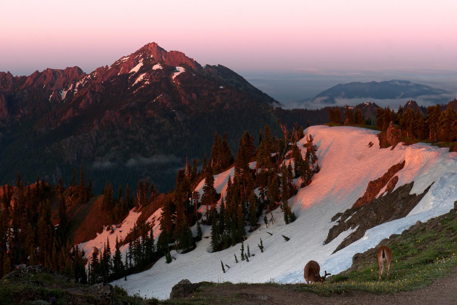
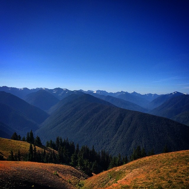
Hurricane Ridge
Hurricane Ridge, Olympic National Park

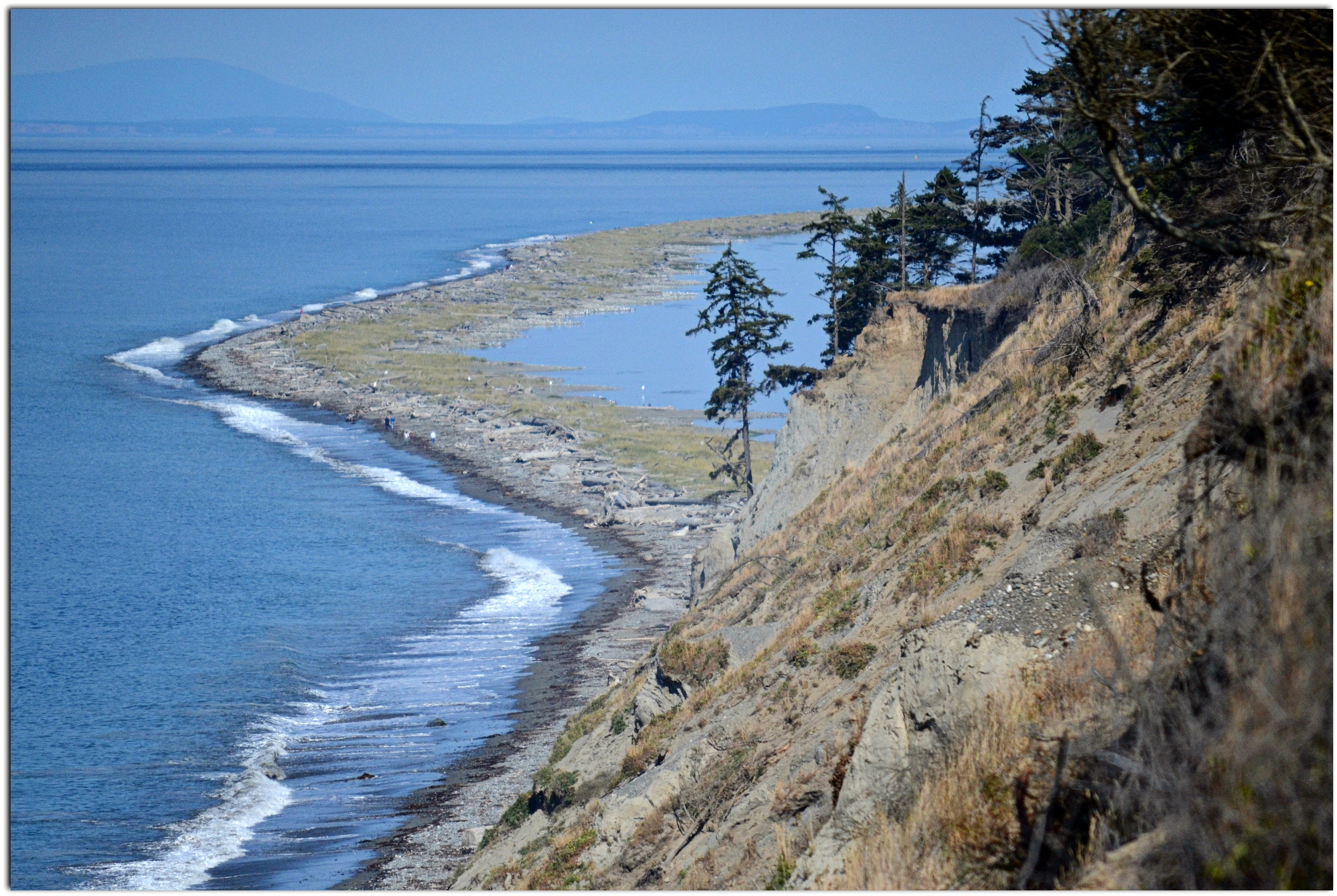
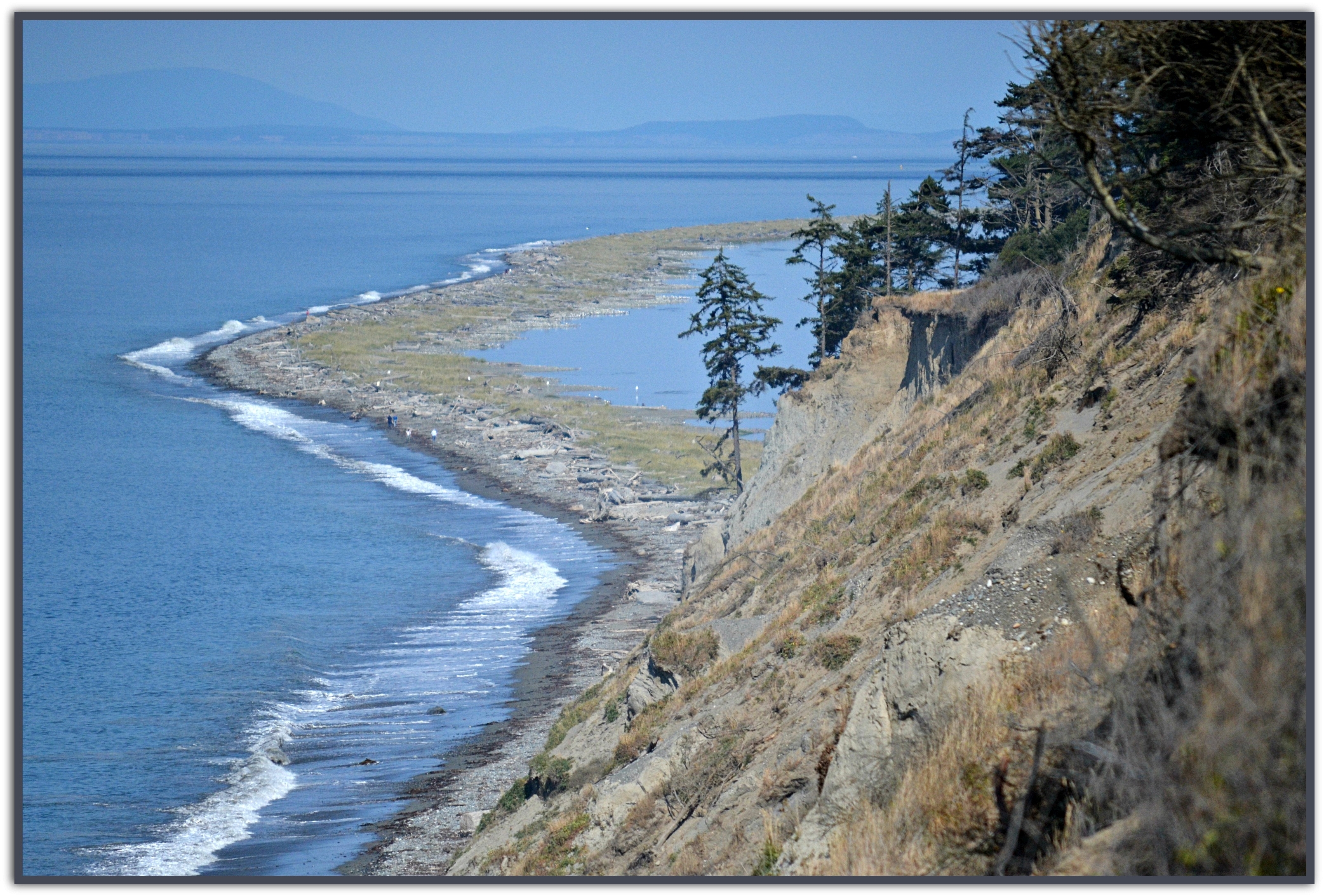
A fleeting glimpse of Port Angeles, Washington
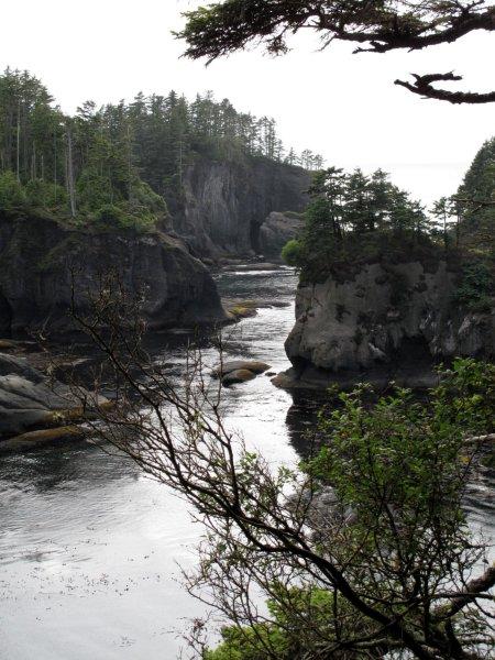
Cape Flathery
Hurricane Ridge, Olympic National Park
View from the #HurricaneRidge #OlympicNationalPark #washington

Fence View
IMG_1010.jpg
Peace on Earth
Gray Wolf River Mask in the Water
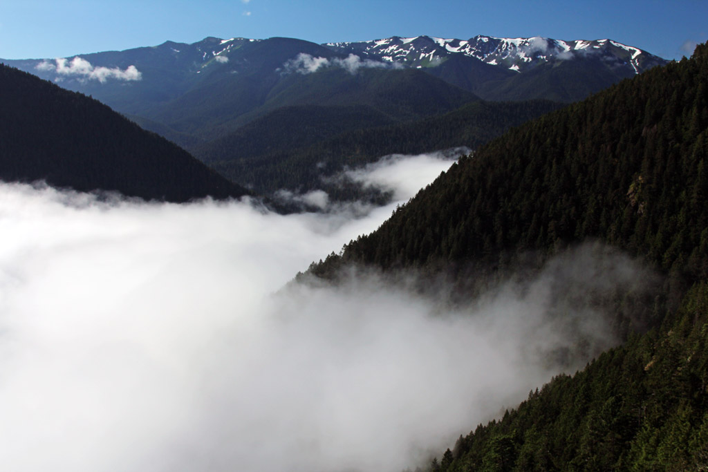
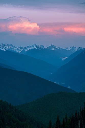
Morning Above the Cloud Line
My Serenity
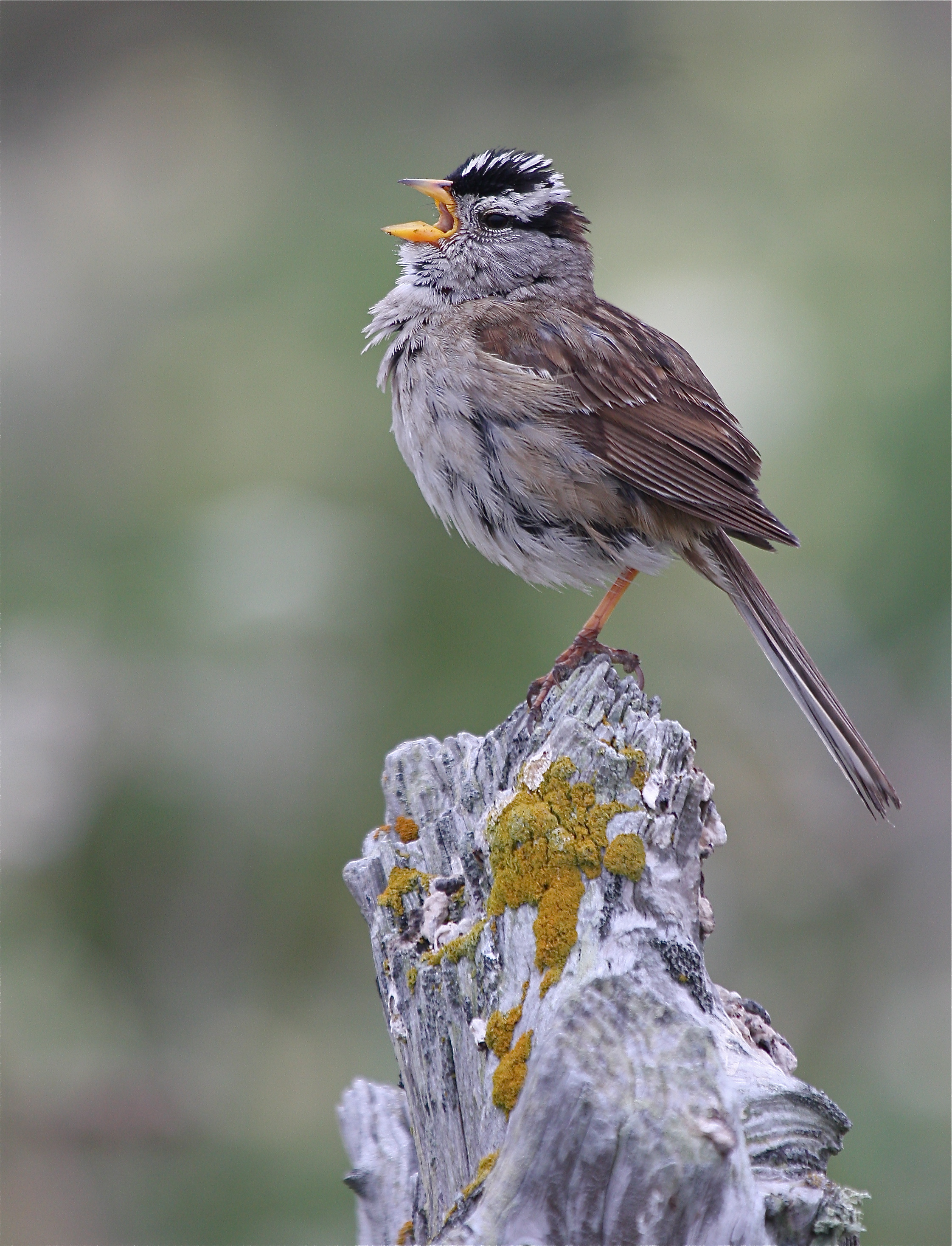
White-crowned Sparrow
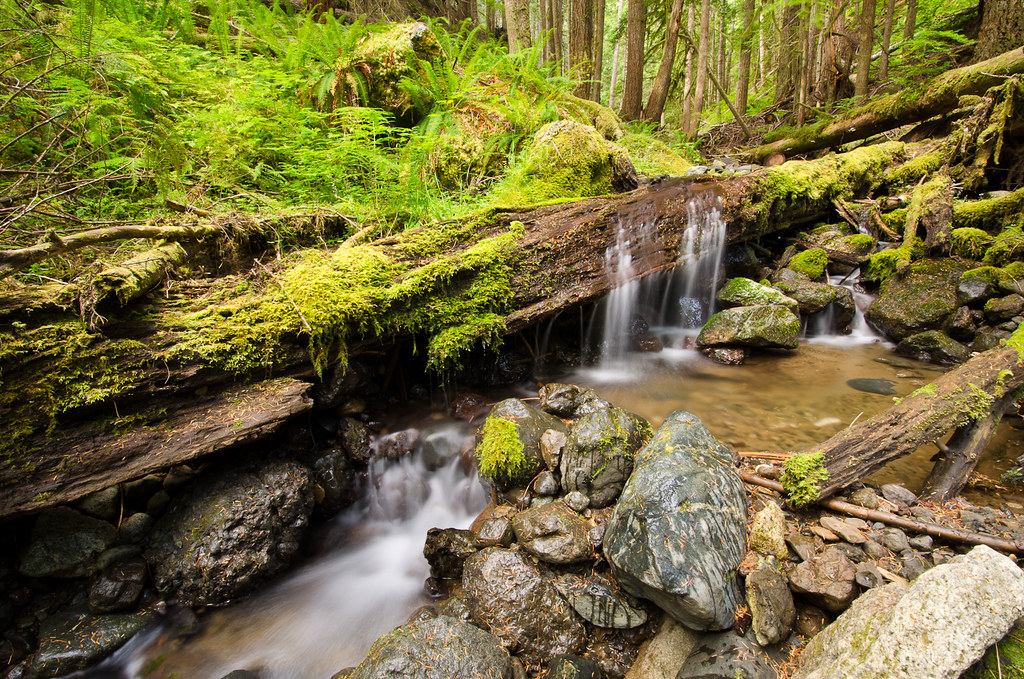
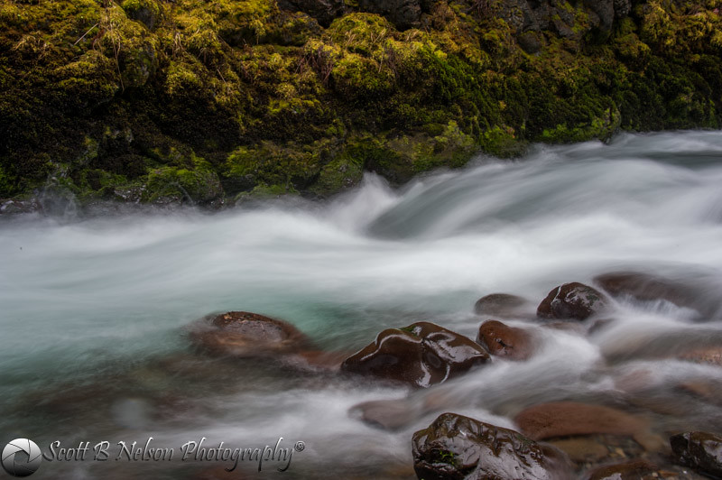
Olympic Stream.
Topographic Map of Red Deer Drive, Red Deer Dr, Port Angeles, WA, USA
Find elevation by address:

Places near Red Deer Drive, Red Deer Dr, Port Angeles, WA, USA:
332 Red Deer Dr
136 Red Deer Dr
6305 Blue Mountain Rd
4100 Blue Mountain Rd
6183 Blue Mountain Rd
6305 Blue Mountain Rd
42 Blue Shadow Ln
119 Marmot Loop
119 Marmot Loop
6576 Blue Mountain Rd
Blue Mountain Road
3272 Blue Mountain Rd
3182 Blue Mountain Rd
2471 Blue Mountain Rd
2100 Blue Mountain Rd
10 Conner Rd
1444 Township Line Rd
1784 Blue Mountain Rd
652 Quail Run Rd
1612 Blue Mountain Rd
Recent Searches:
- Elevation of SW 57th Ave, Portland, OR, USA
- Elevation of Crocker Dr, Vacaville, CA, USA
- Elevation of Pu Ngaol Community Meeting Hall, HWHM+3X7, Krong Saen Monourom, Cambodia
- Elevation of Royal Ontario Museum, Queens Park, Toronto, ON M5S 2C6, Canada
- Elevation of Groblershoop, South Africa
- Elevation of Power Generation Enterprises | Industrial Diesel Generators, Oak Ave, Canyon Country, CA, USA
- Elevation of Chesaw Rd, Oroville, WA, USA
- Elevation of N, Mt Pleasant, UT, USA
- Elevation of 6 Rue Jules Ferry, Beausoleil, France
- Elevation of Sattva Horizon, 4JC6+G9P, Vinayak Nagar, Kattigenahalli, Bengaluru, Karnataka, India